Elevation of Coos Sumner Ln, Coos Bay, OR, USA
Location: United States > Oregon > Coos County > Coos Bay >
Longitude: -124.15188
Latitude: 43.2820914
Elevation: -10000m / -32808feet
Barometric Pressure: 295KPa
Elevation Map:
Satellite Map:
Related Photos:

Early evening--DSC01859--Coos Bay, Oregon

Old Tioga Hotel, Coos Bay, Oregon - DSC03118

Coos Mural

View from Telegraph Hill--DSC01847--Coos Bay, OR

View from Telegraph Hill--DSC01845--Coos Bay, OR

Coos Bay Lumber Company No. 104

Old Tioga Hotel, Coos Bay, Oregon - DSC03117

View from Telegraph Hill--DSC00314--Coos Bay, OR

Old Tioga Hotel, Coos Bay, Oregon - DSC03113

View from Telegraph Hill--DSC00309--Coos Bay, OR

Dean Creek Elk Viewing Area - Charleston, Oregon

We're Back

The old Tioga Hotel -- DSC05996

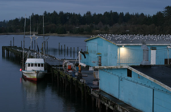
This Is Where Fish Comes From
Charleston 5

CORP Central Oregon & Pacific Coos Bay, Oregon series, # 2

Coos Bay 3
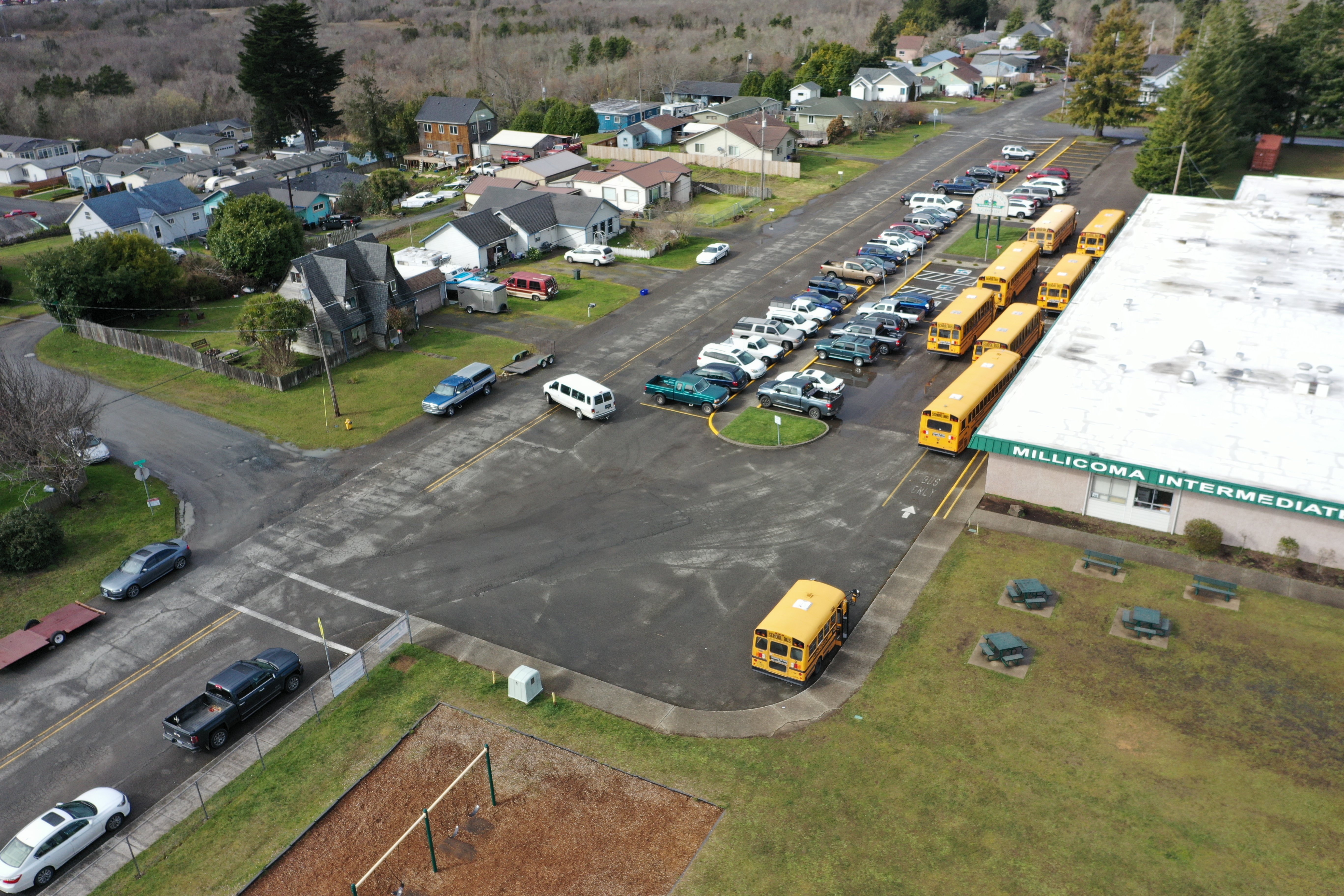
Aerial view of the parking area and street

Coos Bay 2
Crossbay view of Coos Bay

Mystery of the overgrown track... 20101012_4897

King Tide, Coquille River at Coquille

King Tide, Coquille River at Leneve, China Creek. Cedar point upper left (see map)

Cape Arago

CHARLESTON HARBOR

King Tide, Coquille River at E. Beaver Hill Rd., Leneve (see map)

King Tide, Coquille River, between Riverton and Leneve (see map)

King Tide, Coquille River at Coquille

King Tide, Coquille River at Leneve, China Creek (see map)

King Tide, Coquille River at Leneve (see map)

King Tide, Coquille River at Coquille

King Tide, Coquille River, looking upstream at Leneve (see map)

King Tide, Coquille River at Fat Elk Rd., west of Cedar Point (see map)

King Tide, Coquille River, between Riverton and Leneve (see map)

King Tide, Coquille River at Coquille
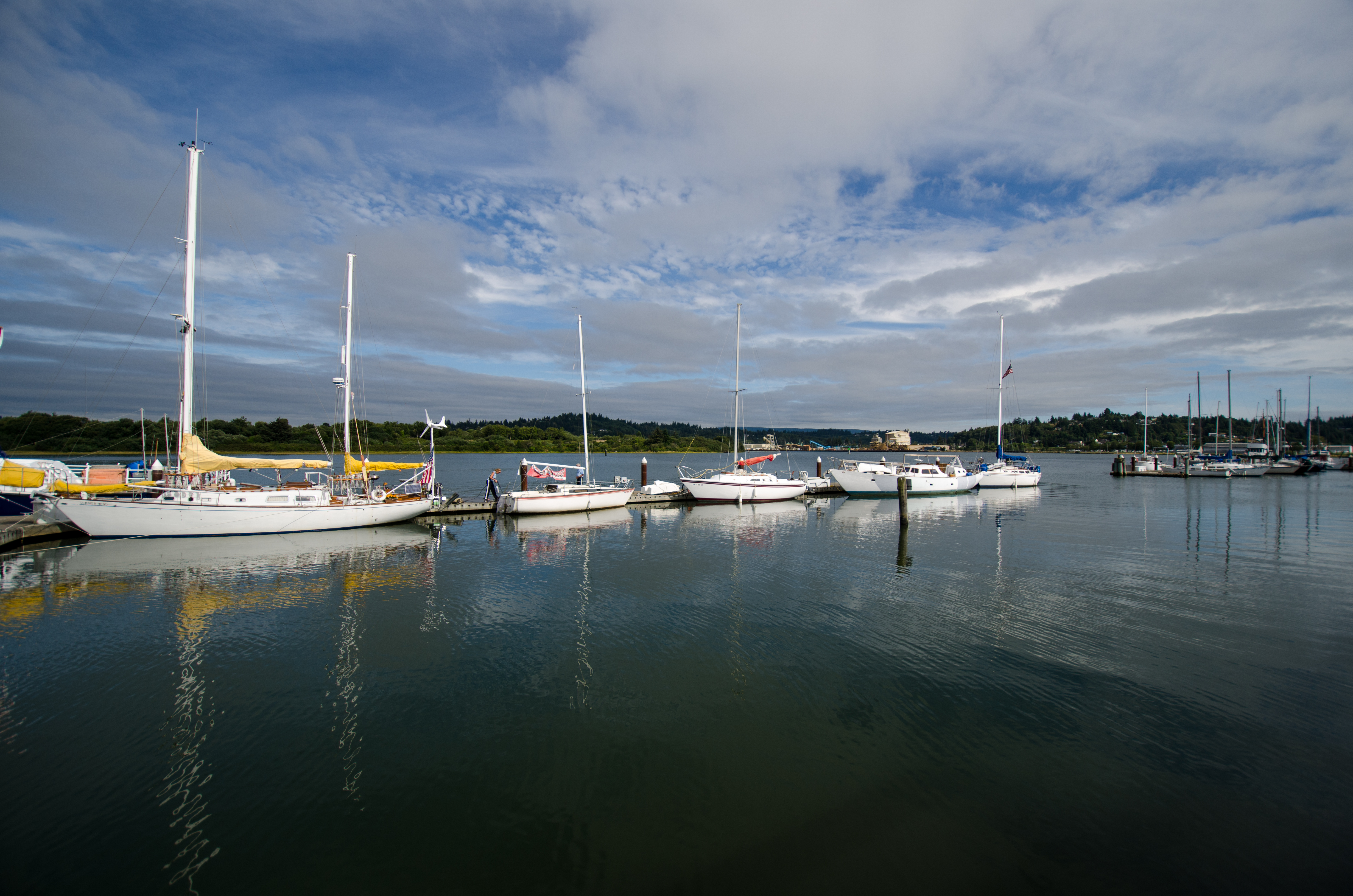
Marina, Downtown Coos Bay

King Tide, Coquille River at Rivers Edge RV Park, Coquille (see map)

Mingus Park
Topographic Map of Coos Sumner Ln, Coos Bay, OR, USA
Find elevation by address:

Places near Coos Sumner Ln, Coos Bay, OR, USA:
60669 S Sumner Rd
61451 Lower Mattson Rd
95625 Sumner-fairview Rd
95280 Stock Slough Ln
93548 Upper Loop Ln
Green Acres
61540 Cold Stream Rd
94032 Brush Ln
Coos County
62641 Olive Barber Rd
62901 Isthmus Heights Rd
61608 Mountain View Dr
Wren Smith Road
Sunnyvale Lane
93685 Mckenna Ln
95440 Lillian Slough Ln
63461 Flanagan Rd
62995 Macgregor Heights
1675 Cedar Dr
63286 Shinglehouse Rd
Recent Searches:
- Elevation of NY-, Friendship, NY, USA
- Elevation of 64 Danakas Dr, Winnipeg, MB R2C 5N7, Canada
- Elevation of 4 Vale Rd, Sheffield S3 9QX, UK
- Elevation of Keene Point Drive, Keene Point Dr, Grant, AL, USA
- Elevation of State St, Zanesville, OH, USA
- Elevation of Austin Stone Dr, Haslet, TX, USA
- Elevation of Bydgoszcz, Poland
- Elevation of Bydgoszcz, Poland
- Elevation of Calais Dr, Del Mar, CA, USA
- Elevation of Placer Mine Ln, West Jordan, UT, USA