Elevation of Cooper St, Vernon, NY, USA
Location: United States > New York > Oneida County > Vernon > Vernon >
Longitude: -75.533136
Latitude: 43.08695
Elevation: 185m / 607feet
Barometric Pressure: 99KPa
Elevation Map:
Satellite Map:
Related Photos:

Erie Canal - West Of Rome

Oneida Community Mansion House ~ Oneida NY ~ 1860 Historical

Another view looking north, Rome, NY

M, A & N, Rome, NY

O & W, Scrapping Of The Rome Branch

NYC Mainline Crosses The O & W
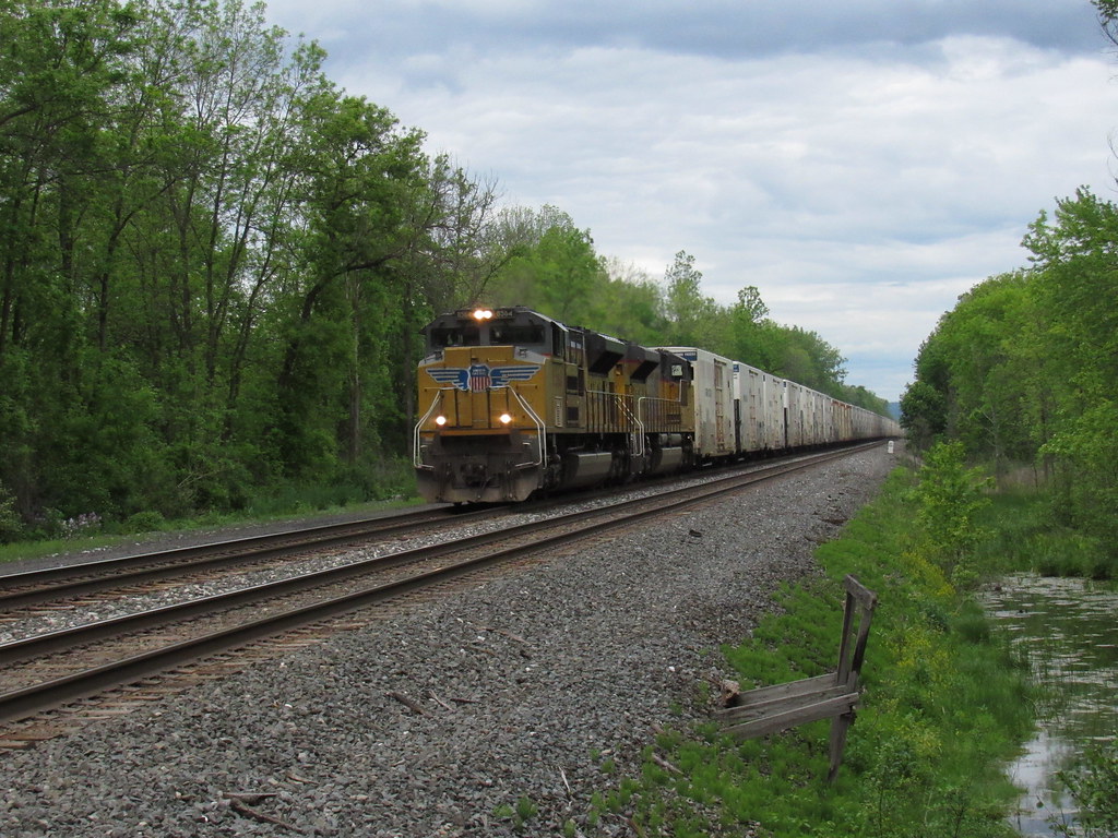
Union Pacific, Greenway, NY

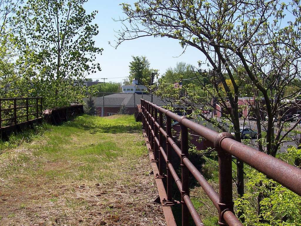
O & W Railroad Bridge

West Shore Vernon, NY

West Shore/Third Rail ROW

O & W RR Underneath The Old NYC Mainline

Crossing The O & W
O & W Railroad ROW

R, W & O Main Looking South, Rome, N Y
West Shore Railroad Bridge at Oneida Castle

Rome, NY

West Shore and Oneida RR. Co

Stanwix National Monument

West Shore Bridge No. 383

Preparing For signal Removal

West Shore/O & W Oneida Castle RR Station

Weird clouds tonight

Fort Stanwix
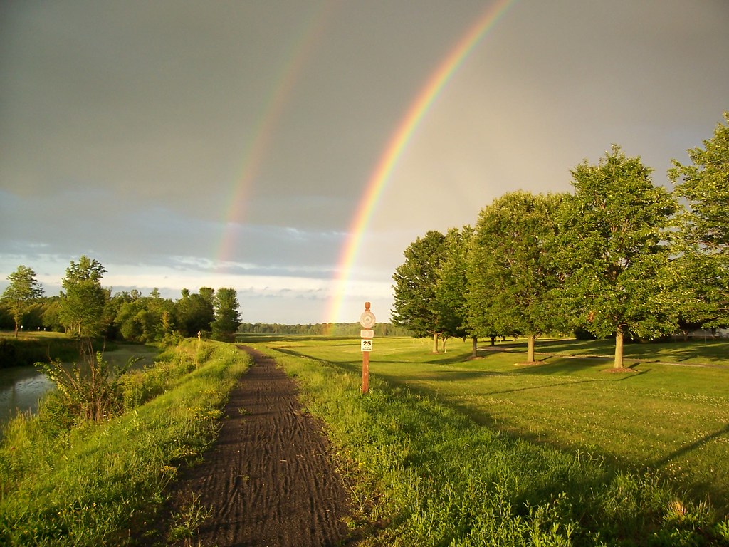
Double Rainbow

Many sunset layers tonight (Explored-So many Thanks!)

Oneida Creek

Sunset in Oneida NY

Sunset over the Tug Hill Plateau
Sunset over Stanwix - 2

West Shore/Third Rail Bridge No. 367

O & W Rail

West Shore RR Bridge No. 392

O & W RR Kenwood Trestle Abutment, Kenwood/Sherrill, NY

New York Central Mainline ROW Oneida, NY

Oneida Railway Co. ROW and Bridge Abutments

White hook cloud

West Shore RR

Oneida RR Co.Bridge Abutments

Fort Stanwix
Topographic Map of Cooper St, Vernon, NY, USA
Find elevation by address:

Places near Cooper St, Vernon, NY, USA:
5389 Cooper St
Vernon
W Seneca St, Vernon, NY, USA
Town Line Rd, Vernon, NY, USA
Vernon
New York 26
Verona
5500 Jenkins Rd
Bridge St, Verona, NY, USA
6081 Schieferstine Rd
Rock Rd, Verona, NY, USA
NY-26, Rome, NY, USA
Verona Mills Rd, Rome, NY, USA
W Main St, Westmoreland, NY, USA
Westmoreland
Westmoreland
Zingerline Rd, Rome, NY, USA
4777 Ny-233
Rome
Rome
Recent Searches:
- Elevation of Congressional Dr, Stevensville, MD, USA
- Elevation of Bellview Rd, McLean, VA, USA
- Elevation of Stage Island Rd, Chatham, MA, USA
- Elevation of Shibuya Scramble Crossing, 21 Udagawacho, Shibuya City, Tokyo -, Japan
- Elevation of Jadagoniai, Kaunas District Municipality, Lithuania
- Elevation of Pagonija rock, Kranto 7-oji g. 8"N, Kaunas, Lithuania
- Elevation of Co Rd 87, Jamestown, CO, USA
- Elevation of Tenjo, Cundinamarca, Colombia
- Elevation of Côte-des-Neiges, Montreal, QC H4A 3J6, Canada
- Elevation of Bobcat Dr, Helena, MT, USA