Elevation of Coon Creek Rd, Franklin, NC, USA
Location: United States > North Carolina > Macon County > Franklin > Franklin >
Longitude: -83.320776
Latitude: 35.257375
Elevation: 946m / 3104feet
Barometric Pressure: 90KPa
Elevation Map:
Satellite Map:
Related Photos:

Jackson County Courthouse - Explore #170

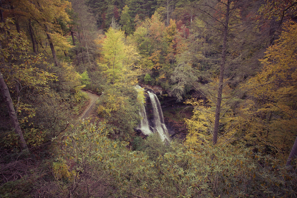
Cullasaja Falls - Highlands, North Carolina.

View in the evening!
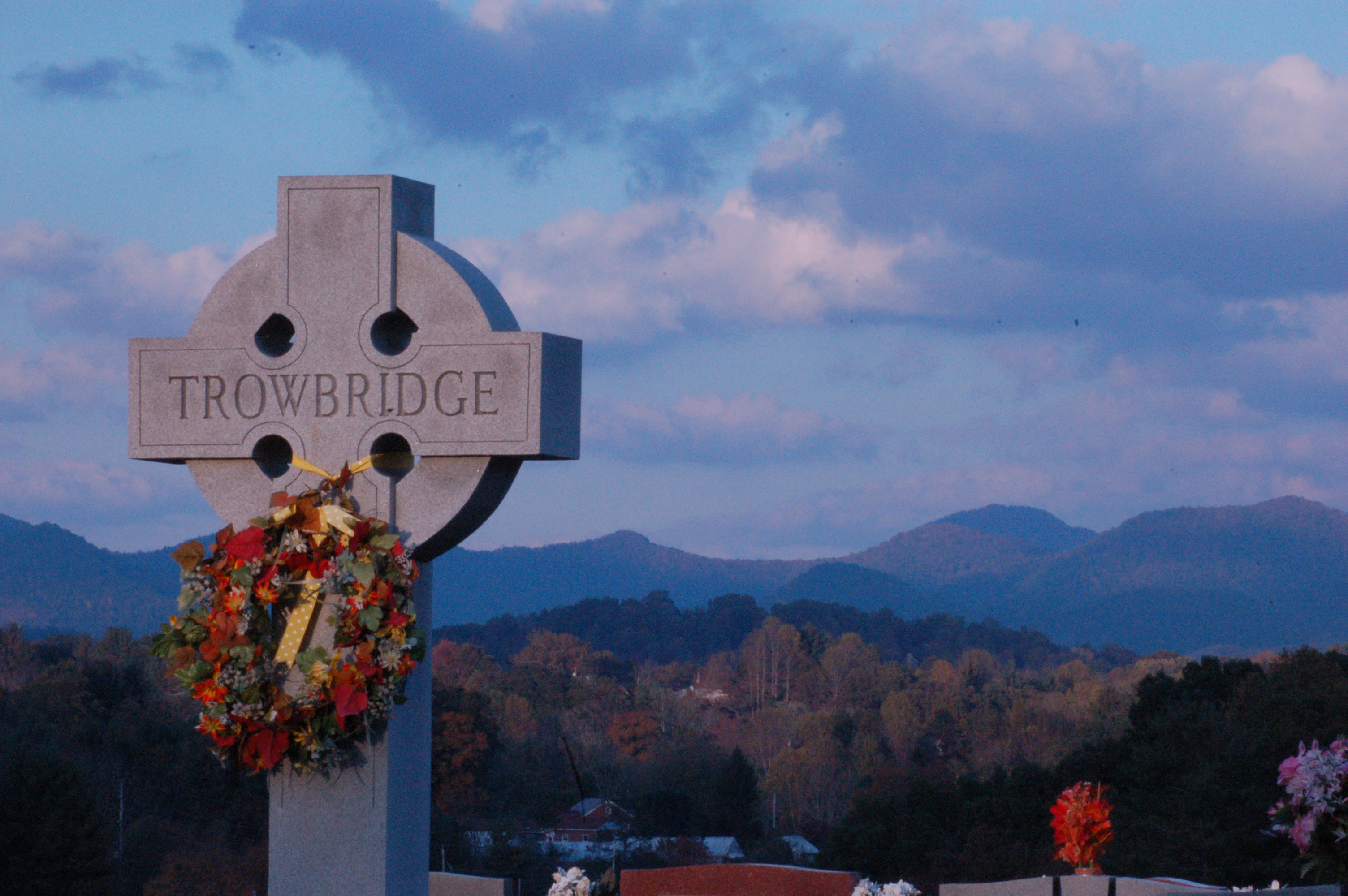
Cemetary View

Inside a house.

male Maevia sp (F Salticidae)
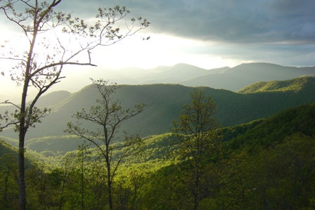
Driving thru the Smokey Mountains, what a view!

Me & My Photograph

1974 Western Carolina University Yearbook Cover

Cowee Bald Fire Tower - North Carolina

Leafhopper, Graphocephala sp (F Cicadellidae)
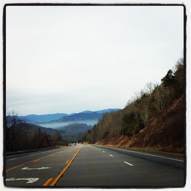
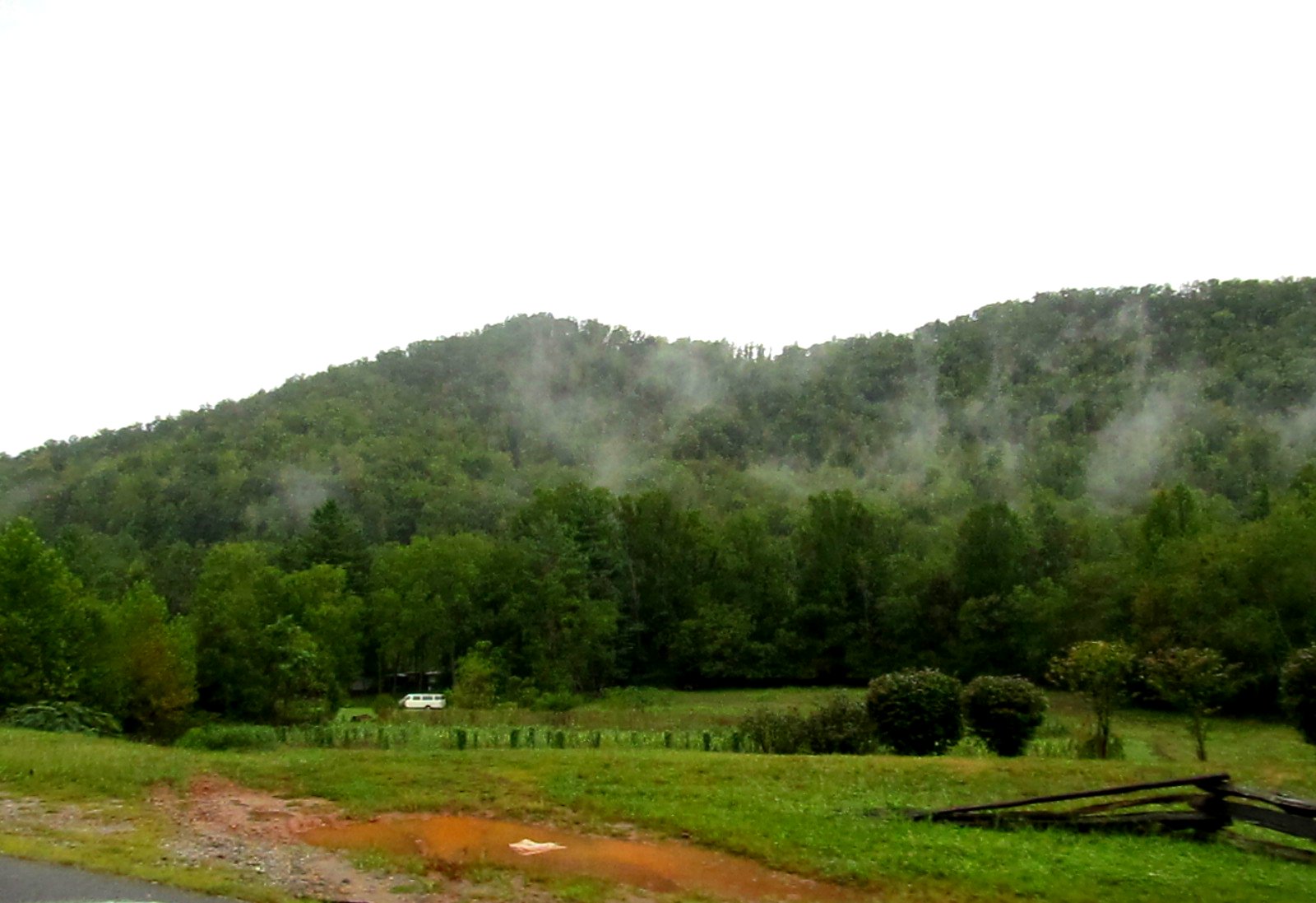
view from the road
Mountain Waters Scenic Byway, Between Franklin and Highlands, North Carolina

Side View Of Macon County Courthouse
Cowee Valley by Susan

Main Floor Hunter Library, Western Carolina University
Mountain Waters Scenic Byway, Between Franklin and Highlands, North Carolina
Front Porch View 1

Yearbook photo of David Sedaris, Western Carolina University, 1976
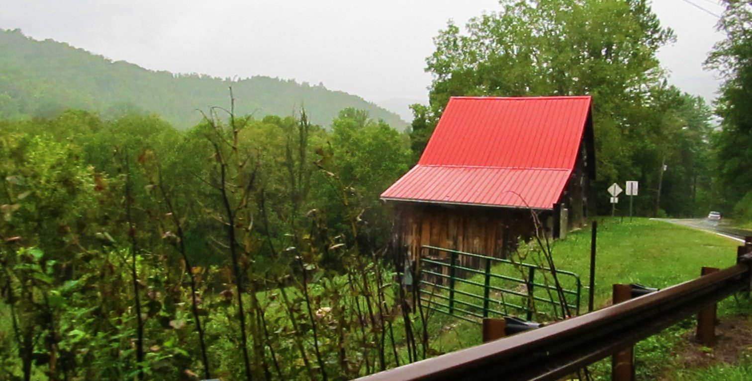
Mountain Waters Scenic Byway, Between Franklin and Highlands, North Carolina
View from Al & Bill's cabin – Sylva, NC

The Curve
Alarka Falls #alarkafalls #brysoncity #wnc #ncwaterfalls #waterfallpics #waterfallhiking #waterfallphotography #iphotography #igersoftheday #828isgreat #blueridgecountry
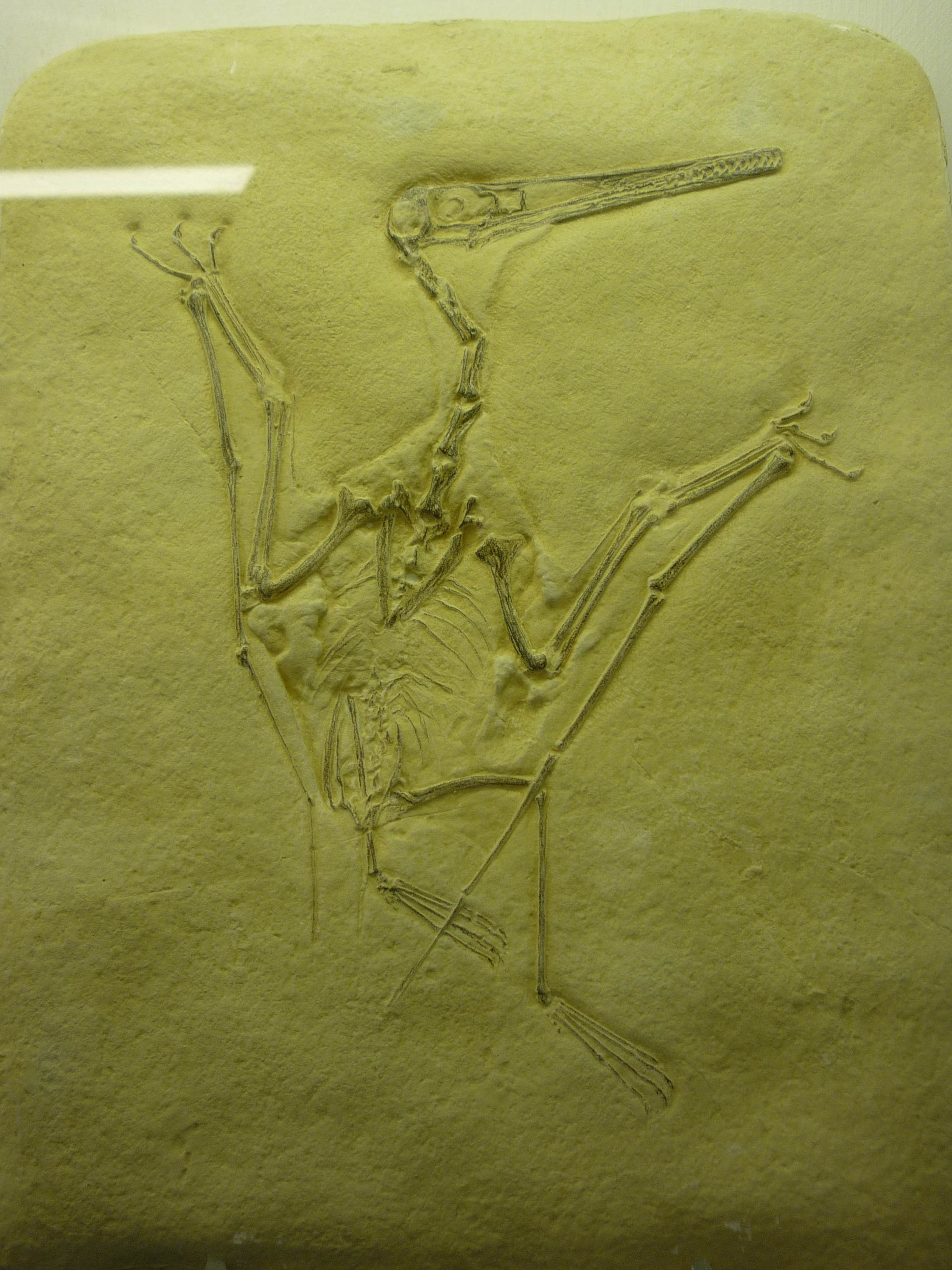
bird-like fossil
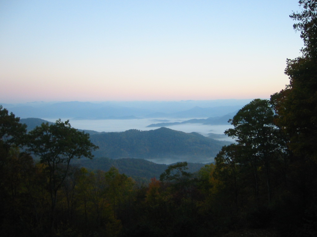
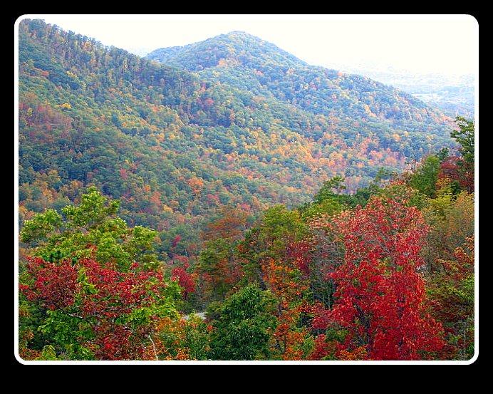
Smoky Mountains

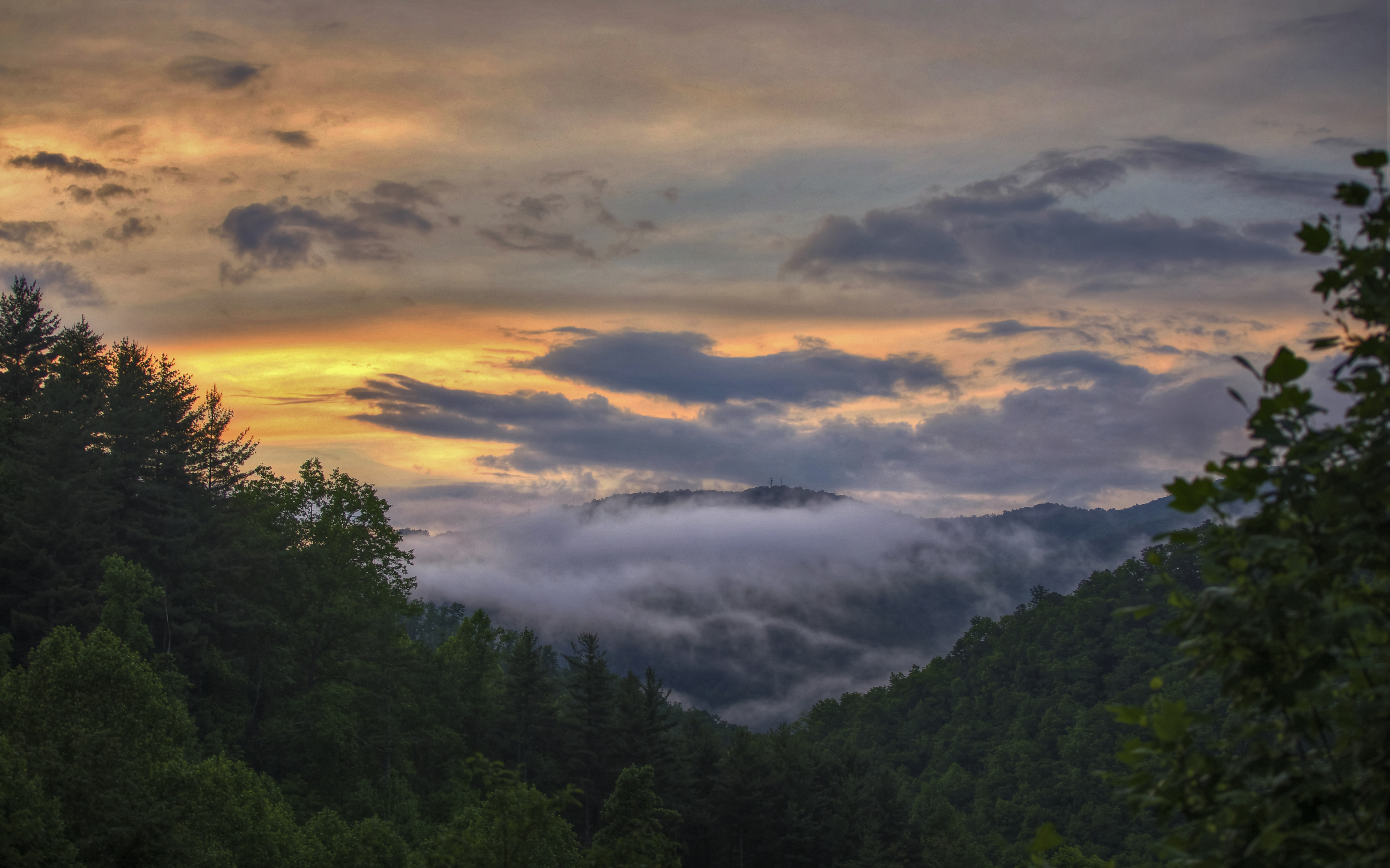
Appalachian Sunrise
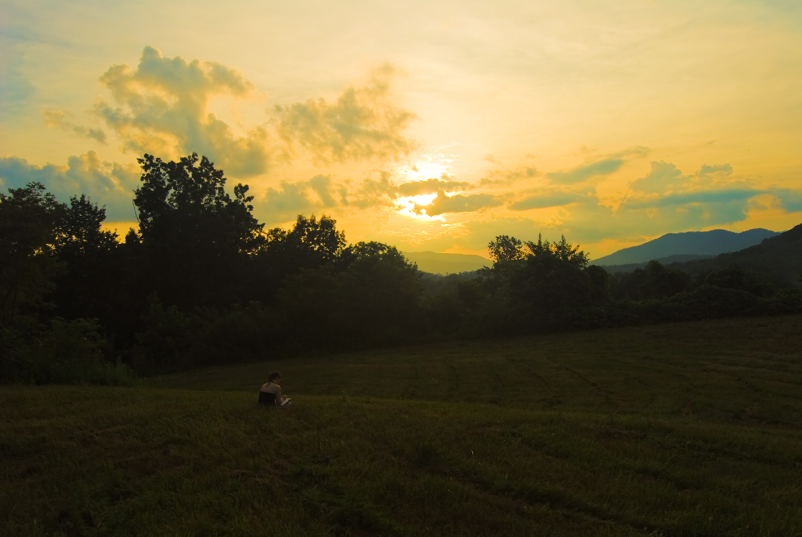
Sunset Reader
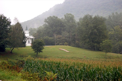
church.JPG

Jackson County Airport 24A in Cullowhee, NC
Fields of Gold | Franklin, NC
Wild Flower & Spec 046

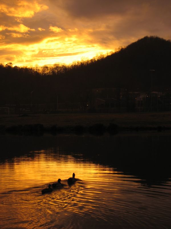
Sunset from my deck

Another sunset from my deck

Cullowhee Dam, Tuckasegee River, Jackson County
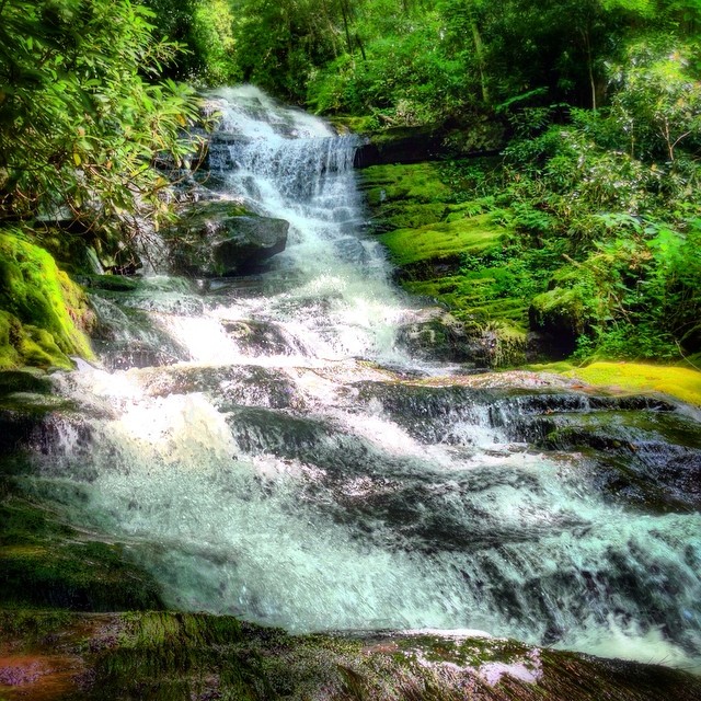
Dry Falls
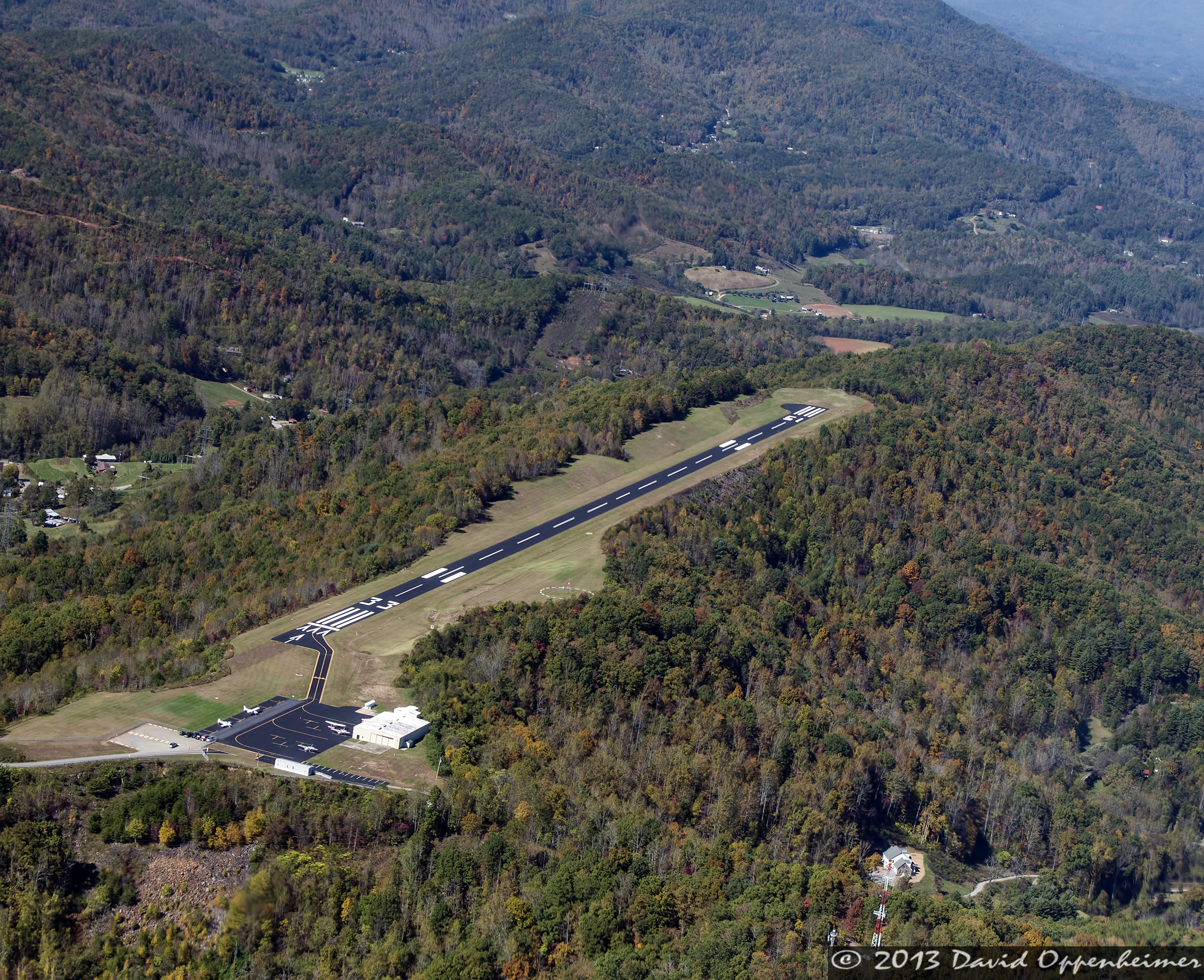
Jackson County Airport 24A in Cullowhee, NC

39. 9/17. +3 in comments.
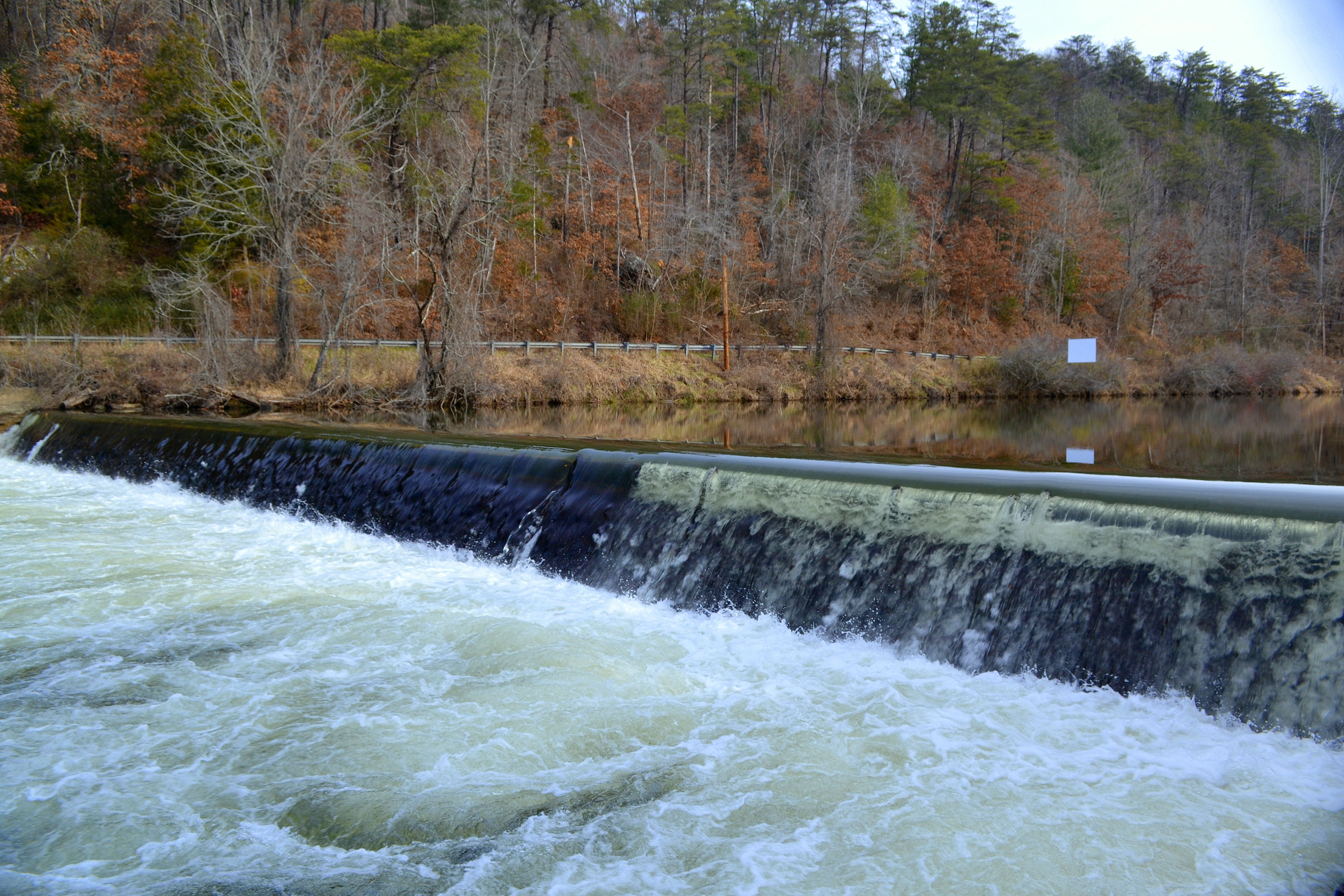
Cullowhee Dam, Tuckasegee River, Jackson County
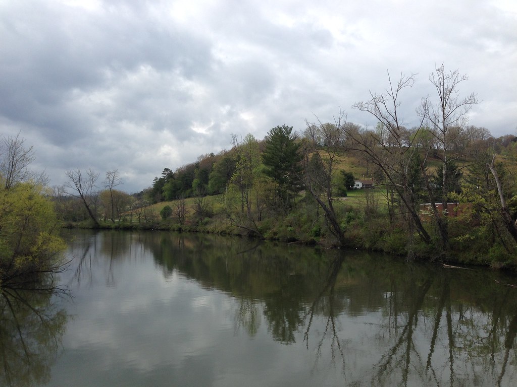
Little Tennessee River
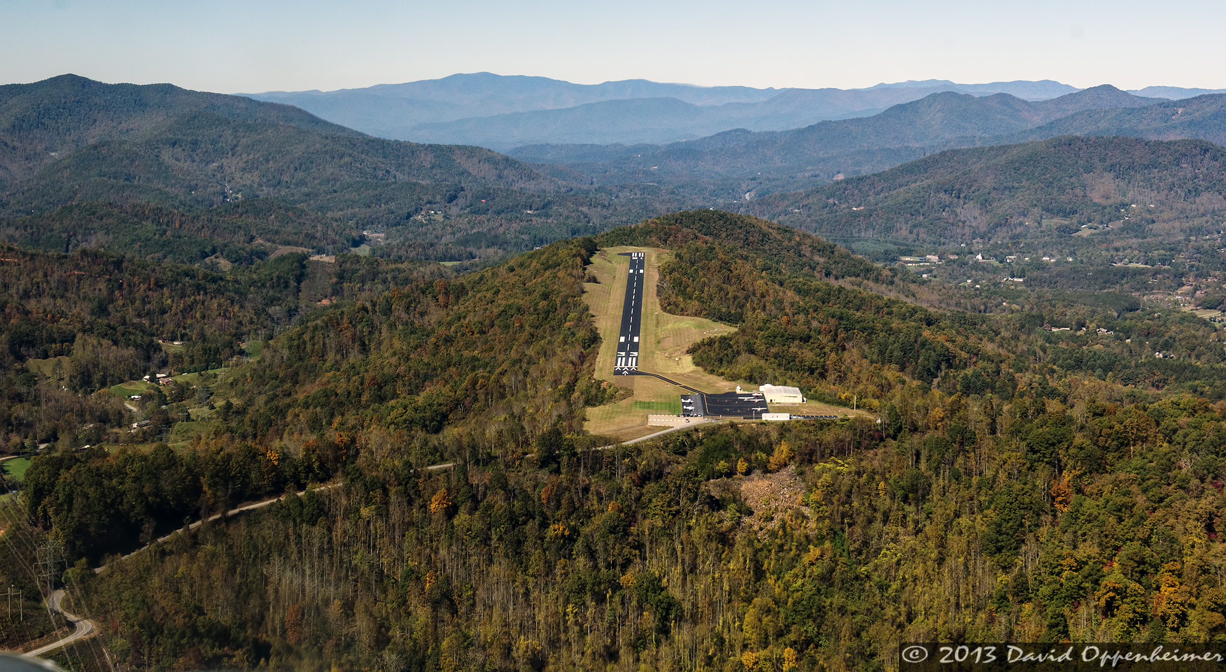
Jackson County Airport 24A in Cullowhee, NC

9.05.07 057
2.13.07 056
Topographic Map of Coon Creek Rd, Franklin, NC, USA
Find elevation by address:

Places near Coon Creek Rd, Franklin, NC, USA:
28 Coon Creek Rd
682 Coon Creek Rd
678 Coon Creek Rd
678 Coon Creek Rd
678 Coon Creek Rd
678 Coon Creek Rd
678 Coon Creek Rd
678 Coon Creek Rd
678 Coon Creek Rd
1605 Coon Creek Rd
1442 Coon Creek Rd
1093 Gold City Ln
Coon Creek Road
173 Mountainside Rd
636 Big Ridge Rd
Upper Dalton Creek Road
1389 Flowers Gap Rd
481 Coon Creek Rd
1209 Chinquapin Mountain Rd
Orenda Drive
Recent Searches:
- Elevation of Luther Road, Luther Rd, Auburn, CA, USA
- Elevation of Unnamed Road, Respublika Severnaya Osetiya — Alaniya, Russia
- Elevation of Verkhny Fiagdon, North Ossetia–Alania Republic, Russia
- Elevation of F. Viola Hiway, San Rafael, Bulacan, Philippines
- Elevation of Herbage Dr, Gulfport, MS, USA
- Elevation of Lilac Cir, Haldimand, ON N3W 2G9, Canada
- Elevation of Harrod Branch Road, Harrod Branch Rd, Kentucky, USA
- Elevation of Wyndham Grand Barbados Sam Lords Castle All Inclusive Resort, End of Belair Road, Long Bay, Bridgetown Barbados
- Elevation of Iga Trl, Maggie Valley, NC, USA
- Elevation of N Co Rd 31D, Loveland, CO, USA