Elevation of Cook St, Palisade, MN, USA
Location: United States > Minnesota > Aitkin County > Palisade >
Longitude: -93.489439
Latitude: 46.7141501
Elevation: 378m / 1240feet
Barometric Pressure: 97KPa
Elevation Map:
Satellite Map:
Related Photos:
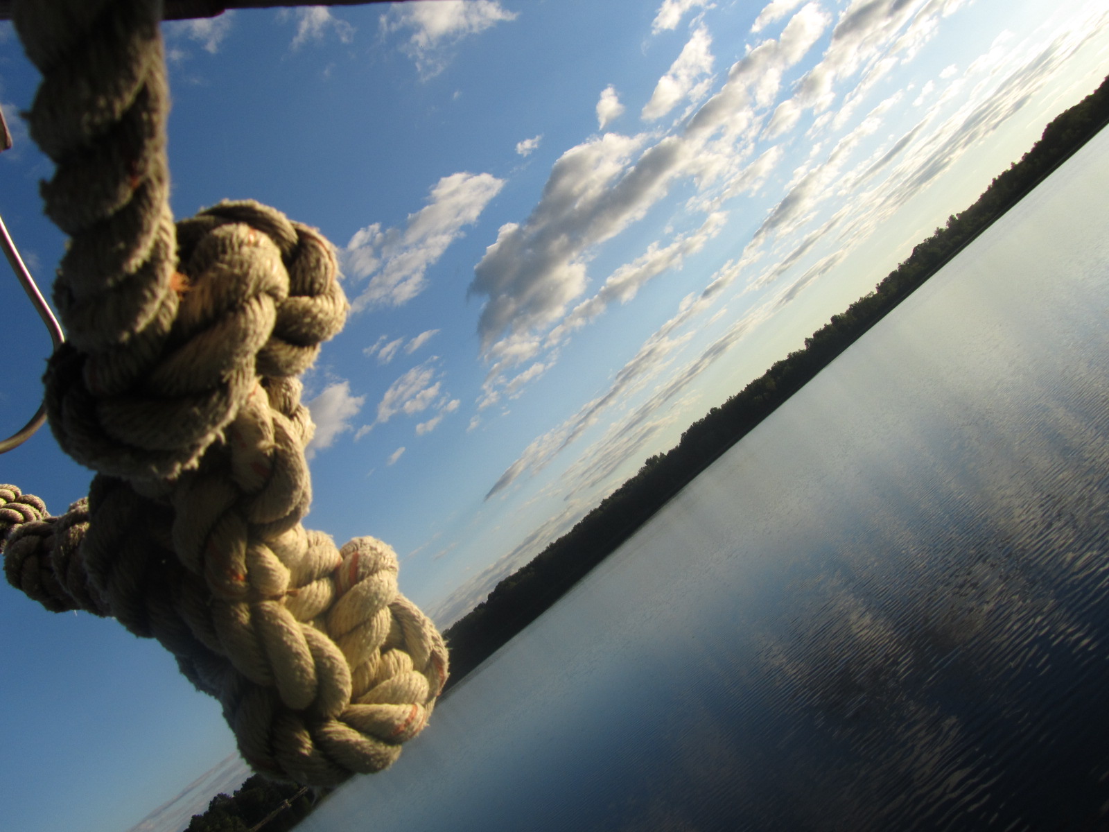
From the Rope Swing

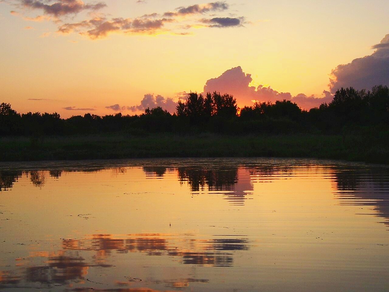
Colors of the New Day
Reflections at Dusk
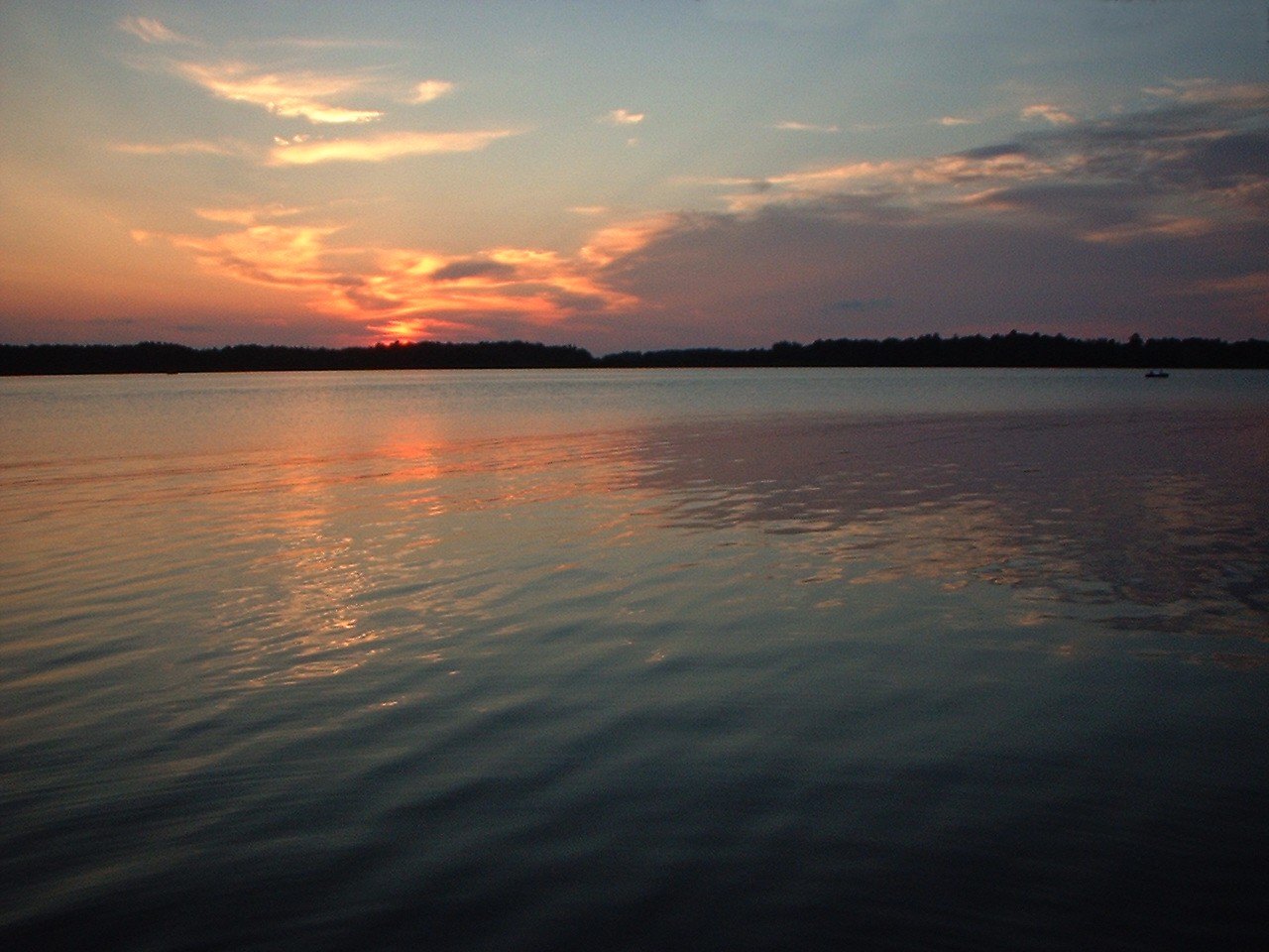
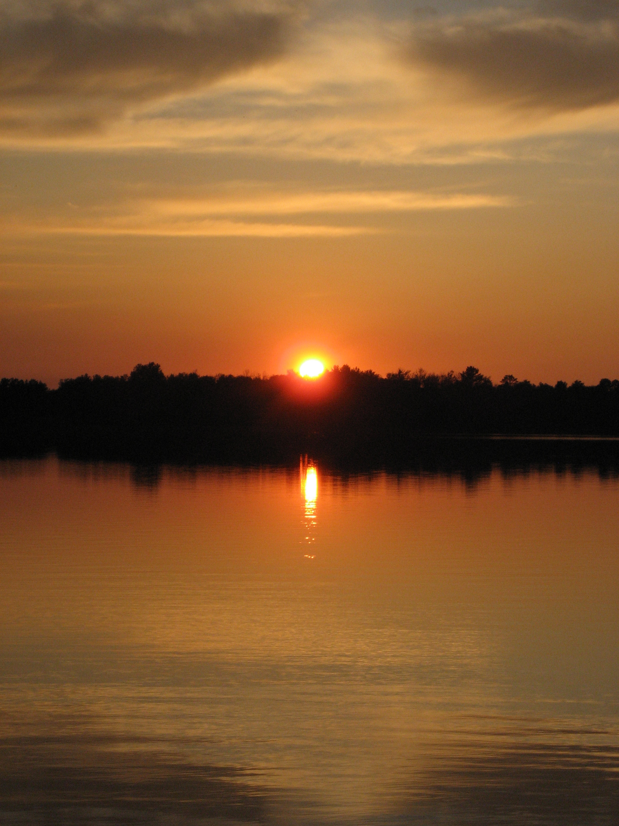
Sunset on Gun Lake
Triple Point
Symmetry at Sunset

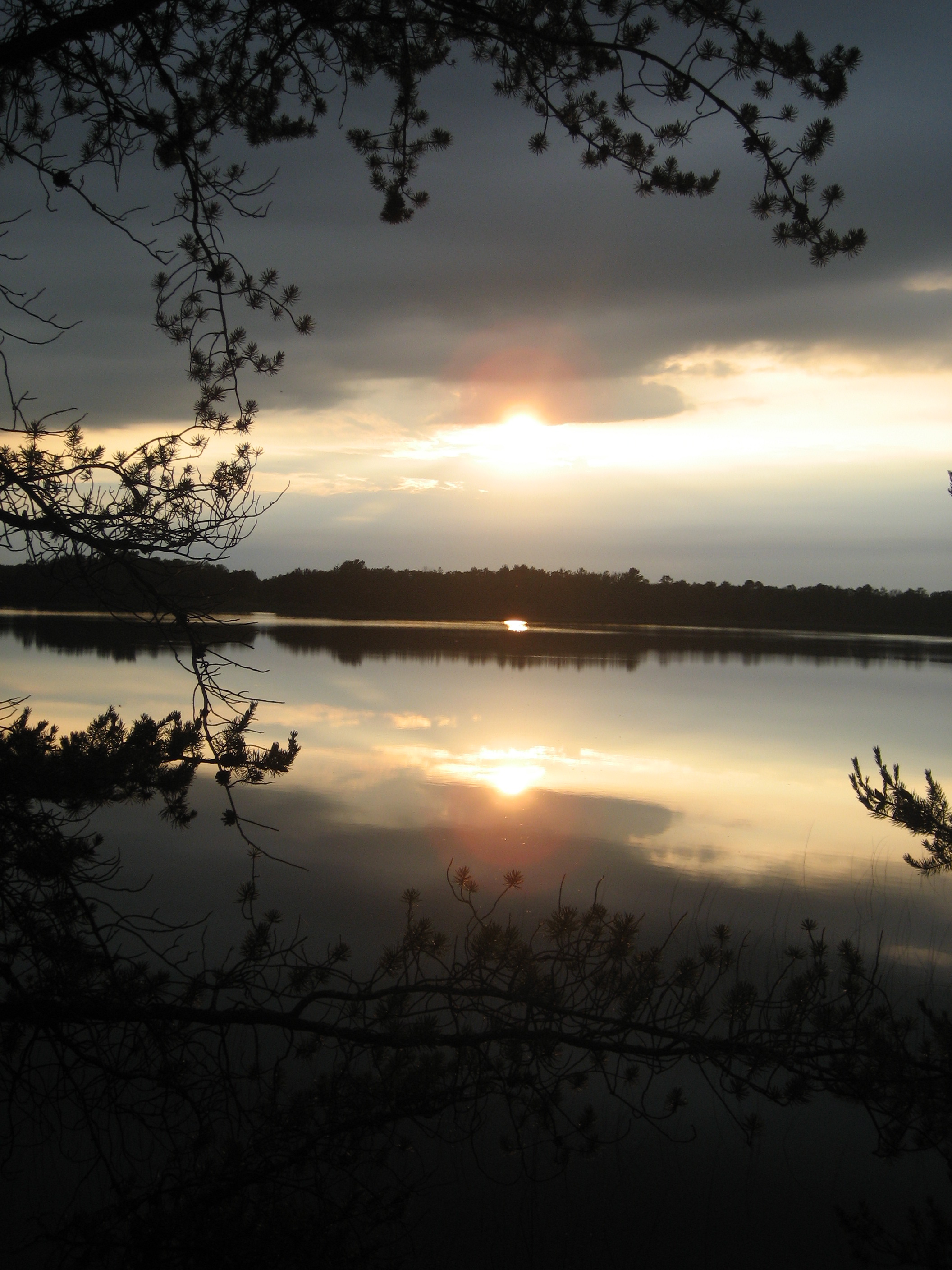
Sunset at Rat Lake

Sunset #cpbc #covenantpines #sunset #lake #upnorth #exploremn #exploreminnesota #mnstagram #minnstagram
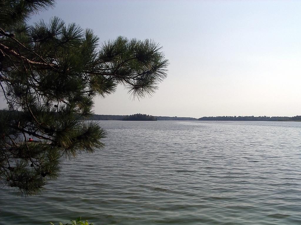
Looking West
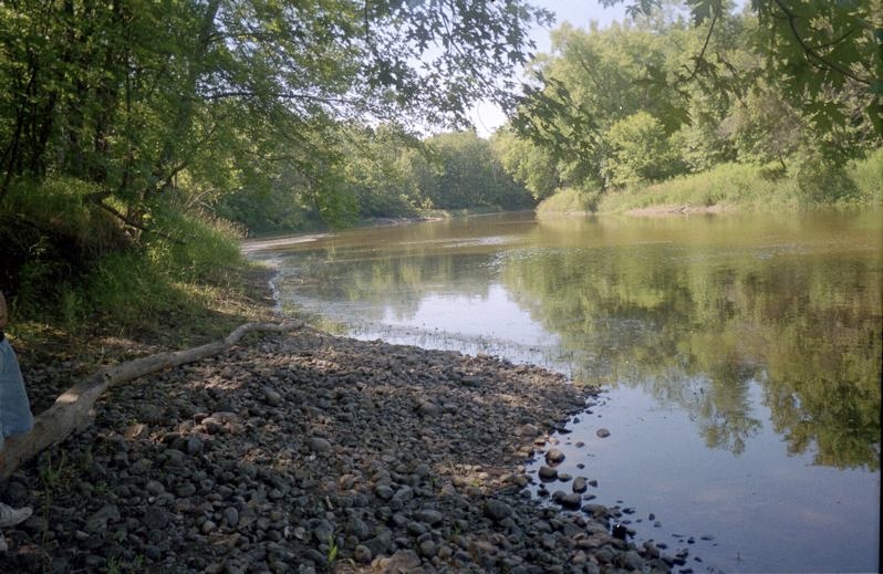
Mississippi River
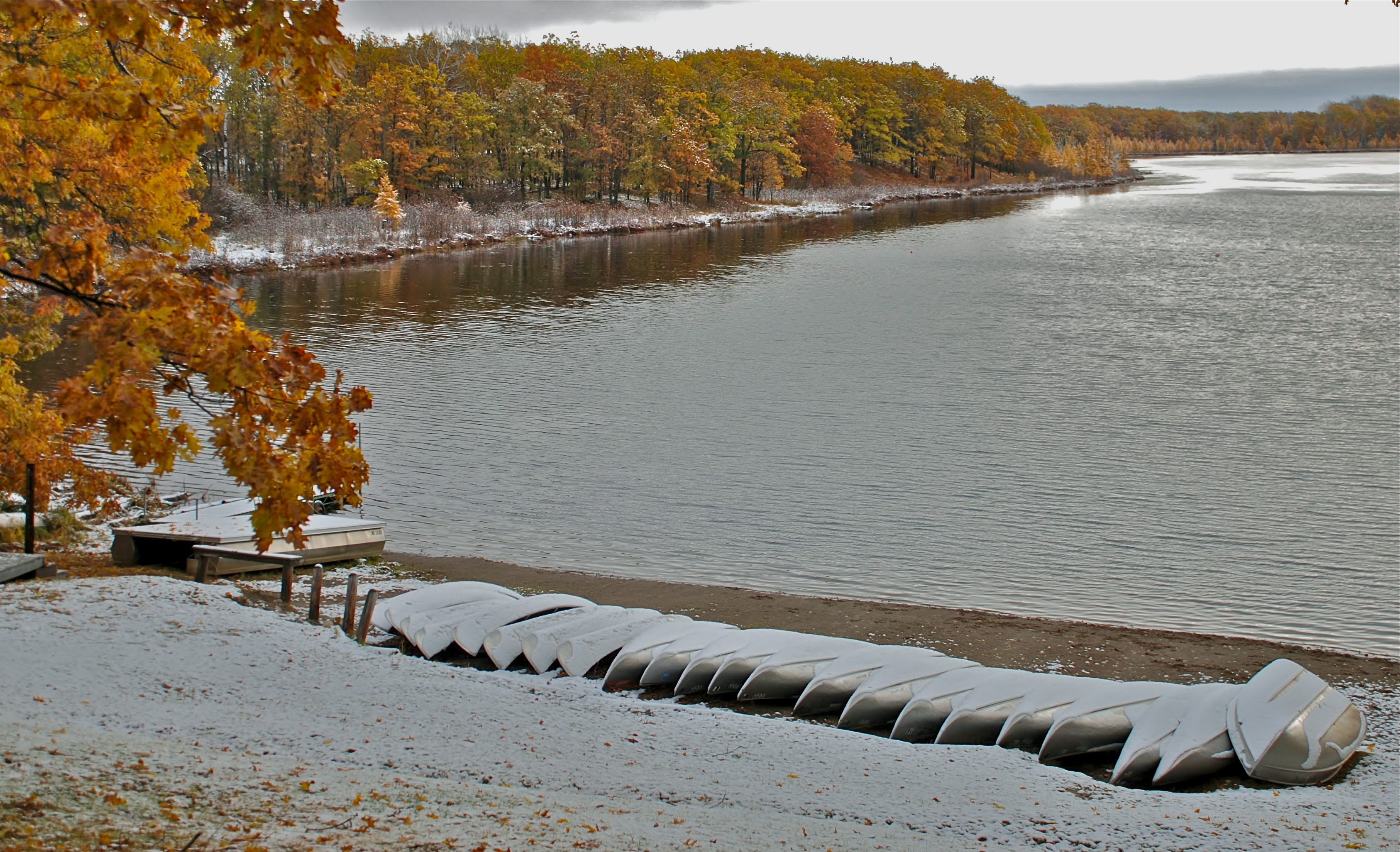
Snow on the beach
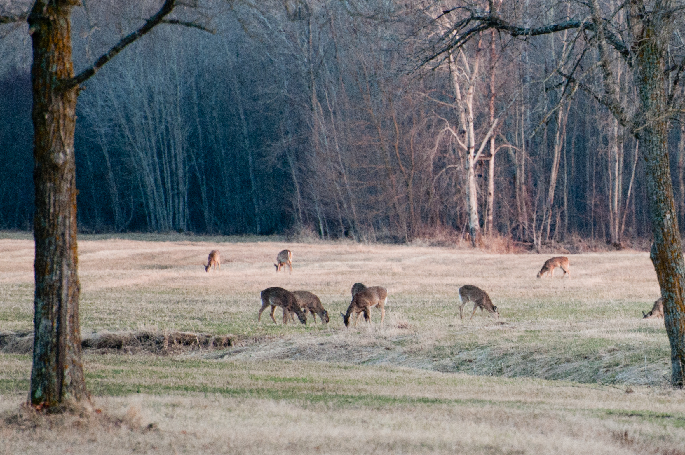
Small deer herd Palisade, MN

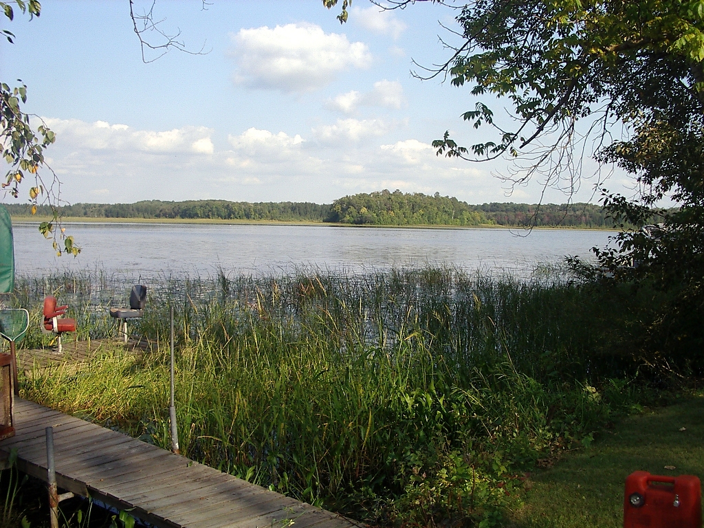
big sandy lake
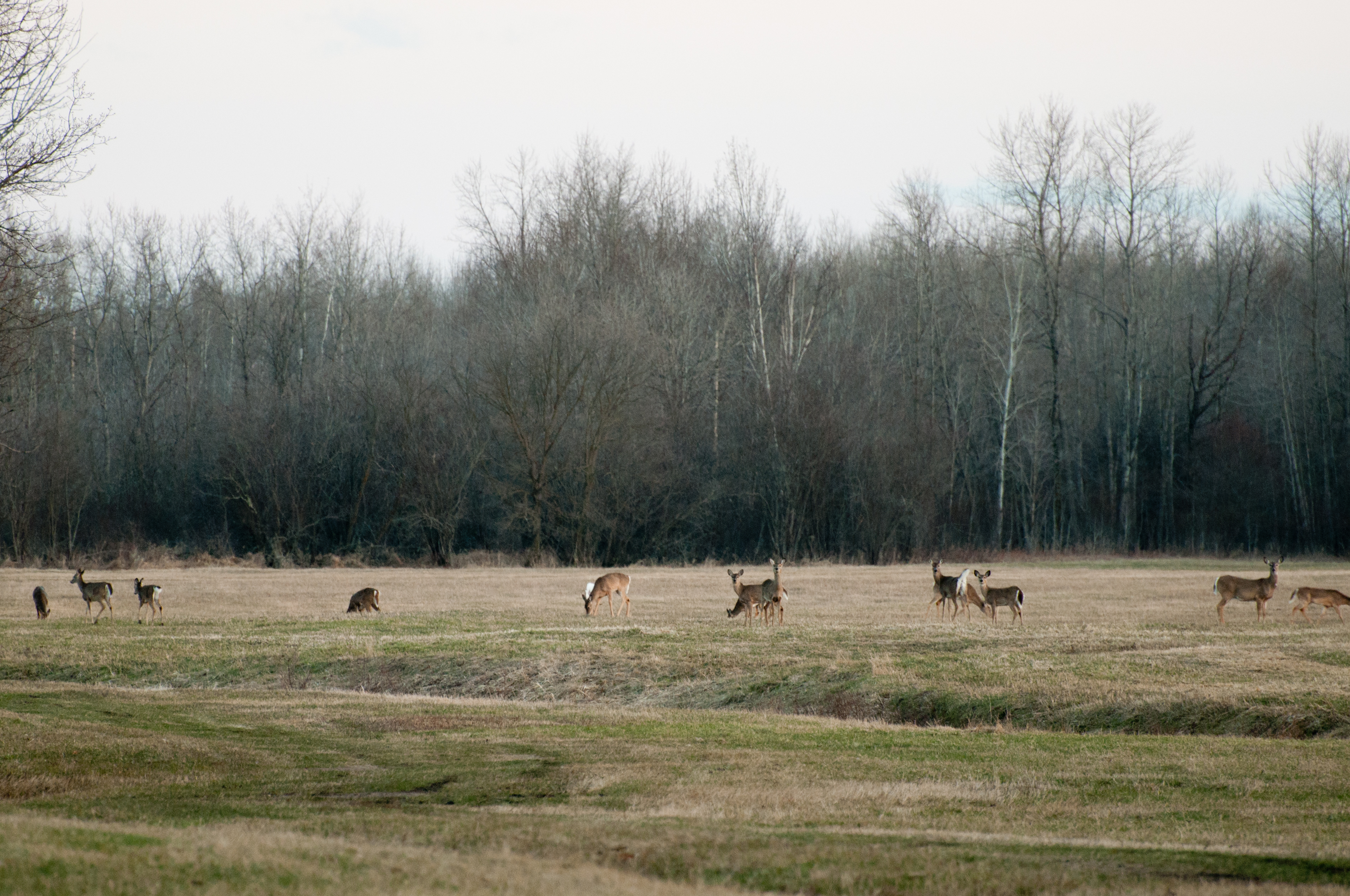
Small deer herd Palisade, MN
Looking East
Topographic Map of Cook St, Palisade, MN, USA
Find elevation by address:

Places near Cook St, Palisade, MN, USA:
Palisade
Aitkin County
Mcgregor
33490 310th Pl
21377 380th Ln
42287 432nd Ln
Glen Township
Spalding Township
24 2nd St Ne
21 1st St NW, Aitkin, MN, USA
Aitkin
18714 380th St
NW Ione Ave, Hill City, MN, USA
27331 Stark Lake Rd
Beulah Township
County Rd 58 NE, Outing, MN, USA
Grand Rapids, MN, USA
Deerwood Township
Emily
Co Rd 1, Emily, MN, USA
Recent Searches:
- Elevation of Cavendish Rd, Harringay Ladder, London N4 1RR, UK
- Elevation of 1 Zion Park Blvd, Springdale, UT, USA
- Elevation of Ganderbal
- Elevation map of Konkan Division, Maharashtra, India
- Elevation of Netaji Nagar, Hallow Pul, Kurla, Mumbai, Maharashtra, India
- Elevation of Uralsk, Kazakhstan
- Elevation of 45- Kahana Dr, Honokaa, HI, USA
- Elevation of New Mexico 30, NM-30, Española, NM, USA
- Elevation of Santmyer Way, Charles Town, WV, USA
- Elevation of Riserva Naturale Lago di Montepulciano, Italy