Elevation of Conecuh County 20, Repton, AL, USA
Location: United States > Alabama > Monroe County > Repton >
Longitude: -87.134144
Latitude: 31.481787
Elevation: 110m / 361feet
Barometric Pressure: 100KPa
Elevation Map:
Satellite Map:
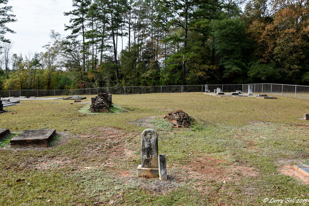
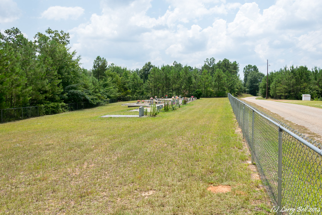
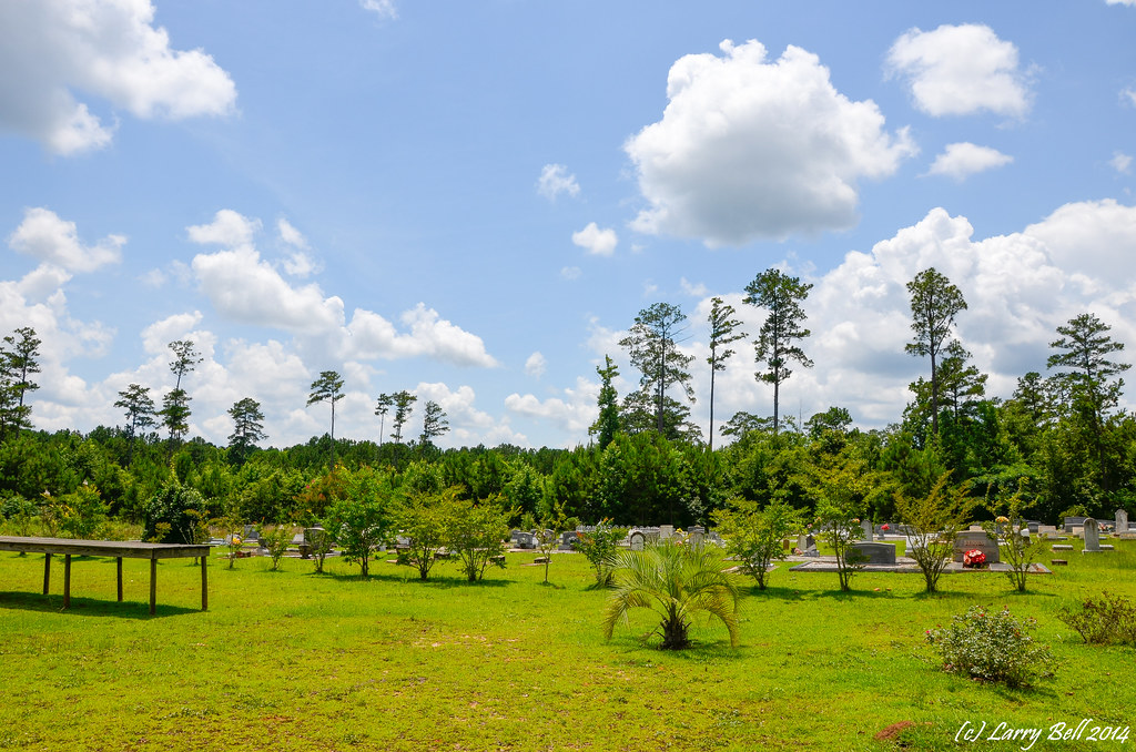
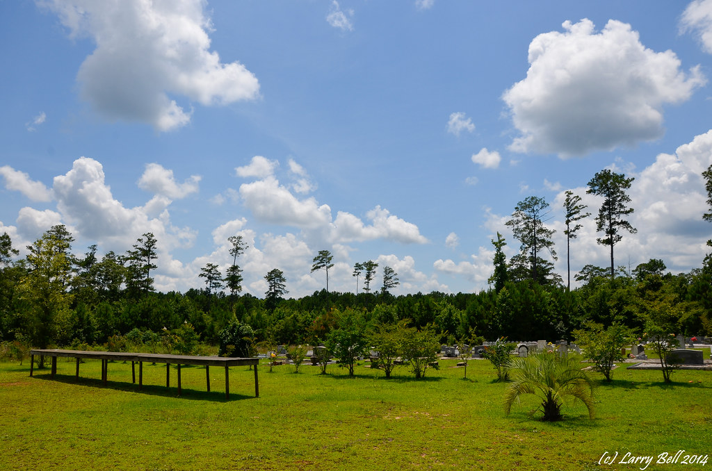
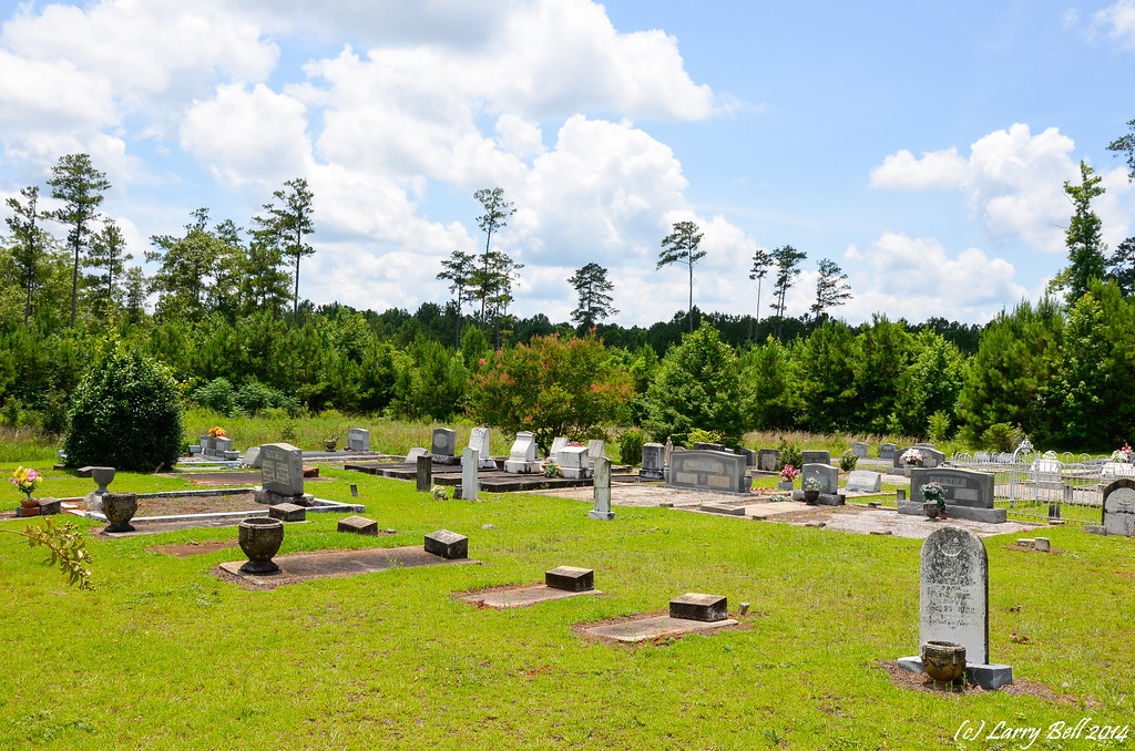
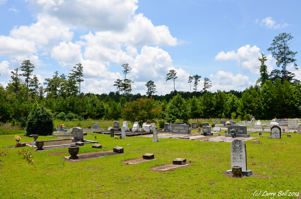
Related Photos:

Dr. W. R. Carter's office, Repton, AL
DSC_0117.jpg

DSC_0091.jpg
DSC_0258.jpg

_DSC0661.jpg

_DSC0656.jpg

_DSC0650.jpg
_DSC0169.jpg
_DSC0168.jpg
_DSC0091.jpg
_DSC0090.jpg
Topographic Map of Conecuh County 20, Repton, AL, USA
Find elevation by address:

Places near Conecuh County 20, Repton, AL, USA:
Co Hwy 15, Castleberry, AL, USA
69 Conecuh County 30, Peterman, AL, USA
Co Hwy 22, Evergreen, AL, USA
488 Pearl Ln
467 Ren Rd
Conecuh County
Co Hwy 6, Lenox, AL, USA
Lenox
Evergreen
16380 Al-83
Co Hwy 29, Evergreen, AL, USA
Castleberry
Appleton Rd, Brewton, AL, USA
Waites Road
6595 Kirkland Rd
Kirkland Rd, Brewton, AL, USA
103 Brooks Blvd
Escambia County
194 Horseshoe Rd
Pea Ridge Rd, Brewton, AL, USA
Recent Searches:
- Elevation of Spaceport America, Co Rd A, Truth or Consequences, NM, USA
- Elevation of Warwick, RI, USA
- Elevation of Fern Rd, Whitmore, CA, USA
- Elevation of 62 Abbey St, Marshfield, MA, USA
- Elevation of Fernwood, Bradenton, FL, USA
- Elevation of Felindre, Swansea SA5 7LU, UK
- Elevation of Leyte Industrial Development Estate, Isabel, Leyte, Philippines
- Elevation of W Granada St, Tampa, FL, USA
- Elevation of Pykes Down, Ivybridge PL21 0BY, UK
- Elevation of Jalan Senandin, Lutong, Miri, Sarawak, Malaysia