Elevation of Columbus, GA, USA
Location: United States > Georgia > Muscogee County >
Longitude: -84.987709
Latitude: 32.4609764
Elevation: 73m / 240feet
Barometric Pressure: 100KPa
Elevation Map:
Satellite Map:
Related Photos:
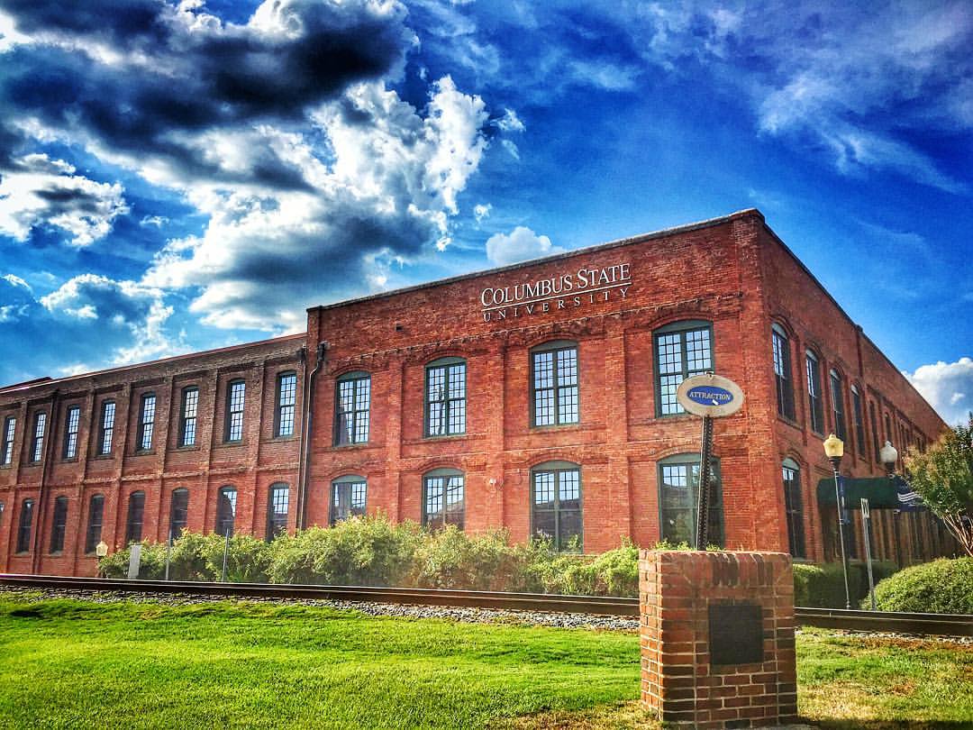
Columbus State University, Georgia #csu #columbusstateuniversity #college #university #structure #building #placeoflearning #columbusga #columbusgeorgia #visitcolumbusgeorgia #georgia #georgiaonmymind #thisismyga #landmark #landscape #scene #scenery #view

Dynamite sunset tonight. I drove around a neighborhood near work to find a spot with a nice view

View from WWHQ
Topographic Map of Columbus, GA, USA
Find elevation by address:

Places in Columbus, GA, USA:
Midland
Stonehaven Dr, Columbus, GA, USA
Moline Ave, Columbus, GA, USA
Winkfield Pl, Columbus, GA, USA
Fort Benning Rd, Columbus, GA, USA
Ramsey Rd, Columbus, GA, USA
Waterford Rd, Columbus, GA, USA
Hilliard Ave, Columbus, GA, USA
Greenstone Ct, Columbus, GA, USA
Milgen Rd, Columbus, GA, USA
Double Churches Rd, Columbus, GA, USA
Timberdale Dr, Columbus, GA, USA
Melody Dr, Columbus, GA, USA
Poarch Band Loop, Columbus, GA, USA
Tillinghurst Rd, Columbus, GA, USA
Fort Benning Rd, Columbus, GA, USA
1st Ave, Columbus, GA, USA
Mesa St, Columbus, GA, USA
Dinglewood Dr, Columbus, GA, USA
17th St, Columbus, GA, USA
Cardinal Dr, Columbus, GA, USA
Sugar Mill Dr, Columbus, GA, USA
N Walnut St, Columbus, GA, USA
Lynda Ln, Columbus, GA, USA
Linden Ct, Columbus, GA, USA
E Central St, Columbus, GA, USA
Manor Rd, Columbus, GA, USA
35th St, Columbus, GA, USA
Irwin Way, Columbus, GA, USA
Schatulga Rd, Columbus, GA, USA
Trafalgar Way, Columbus, GA, USA
Watson Dr, Columbus, GA, USA
Byron St, Columbus, GA, USA
E Wynnton Ln, Columbus, GA, USA
Mason Drive
Columbus, GA, USA
Broadway
Broadway
Incline Drive
East Columbus
Places near Columbus, GA, USA:
1000 Us-27
1000 Veterans Pkwy
Broadway
Broadway
Trinity Episcopal Church
Broad Street
Phenix City
Seale Rd, Phenix City, AL, USA
1429 Dinglewood Dr
Dinglewood Dr, Columbus, GA, USA
17th St, Columbus, GA, USA
1331 20th St
1333 Eberhart Ave
S Seale Rd, Phenix City, AL, USA
612 32nd St
1st Ave, Columbus, GA, USA
E Wynnton Ln, Columbus, GA, USA
35th St, Columbus, GA, USA
E Central St, Columbus, GA, USA
Columbus, GA, USA
Recent Searches:
- Elevation of Corso Fratelli Cairoli, 35, Macerata MC, Italy
- Elevation of Tallevast Rd, Sarasota, FL, USA
- Elevation of 4th St E, Sonoma, CA, USA
- Elevation of Black Hollow Rd, Pennsdale, PA, USA
- Elevation of Oakland Ave, Williamsport, PA, USA
- Elevation of Pedrógão Grande, Portugal
- Elevation of Klee Dr, Martinsburg, WV, USA
- Elevation of Via Roma, Pieranica CR, Italy
- Elevation of Tavkvetili Mountain, Georgia
- Elevation of Hartfords Bluff Cir, Mt Pleasant, SC, USA