Elevation of Columbine Way, Port Angeles, WA, USA
Location: United States > Washington > Clallam County > Port Angeles >
Longitude: -123.32467
Latitude: 48.057532
Elevation: 249m / 817feet
Barometric Pressure: 98KPa
Elevation Map:
Satellite Map:
Related Photos:

What would Spider do?

I dare ya..
Beyond the Trees
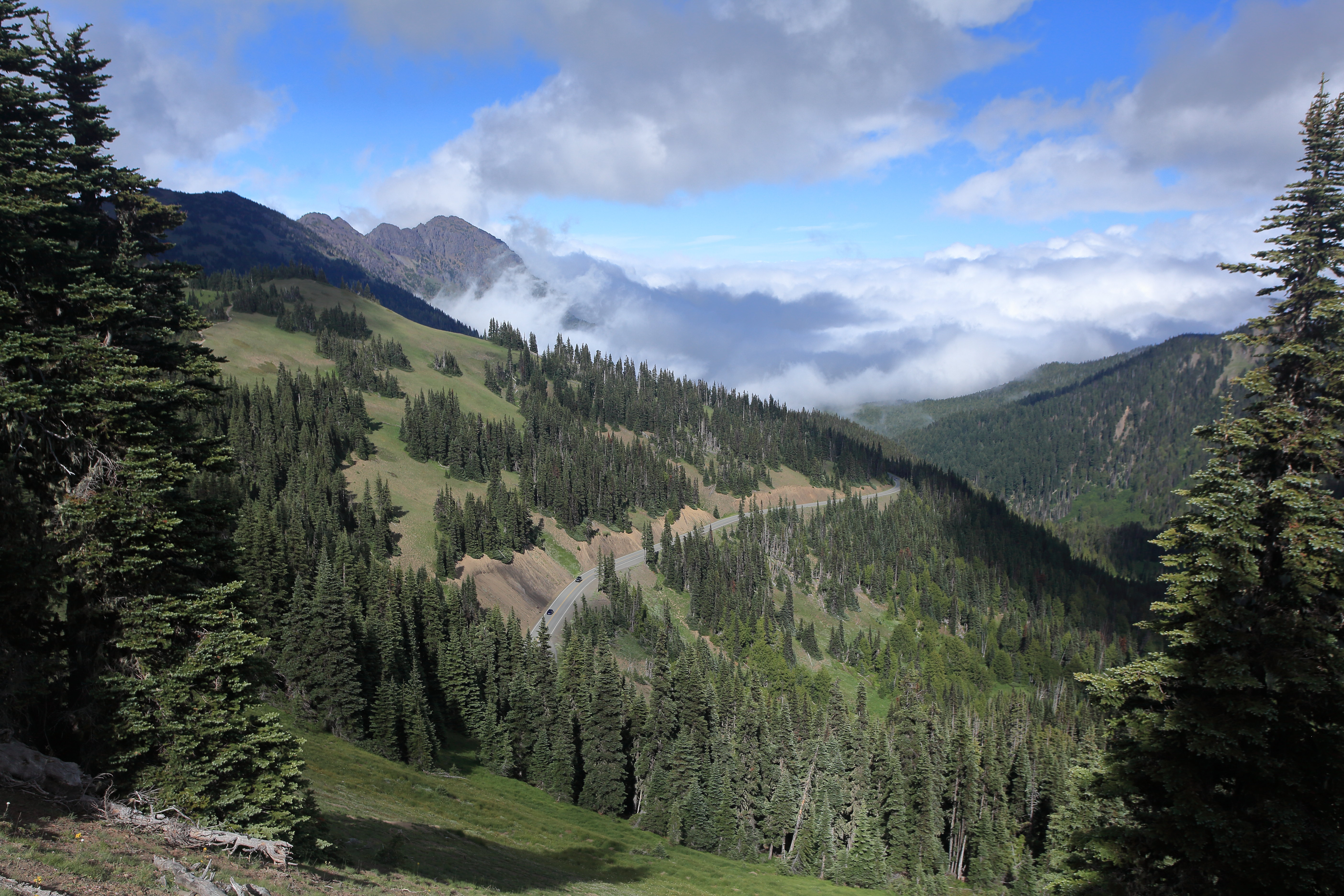
Hurricane Trails

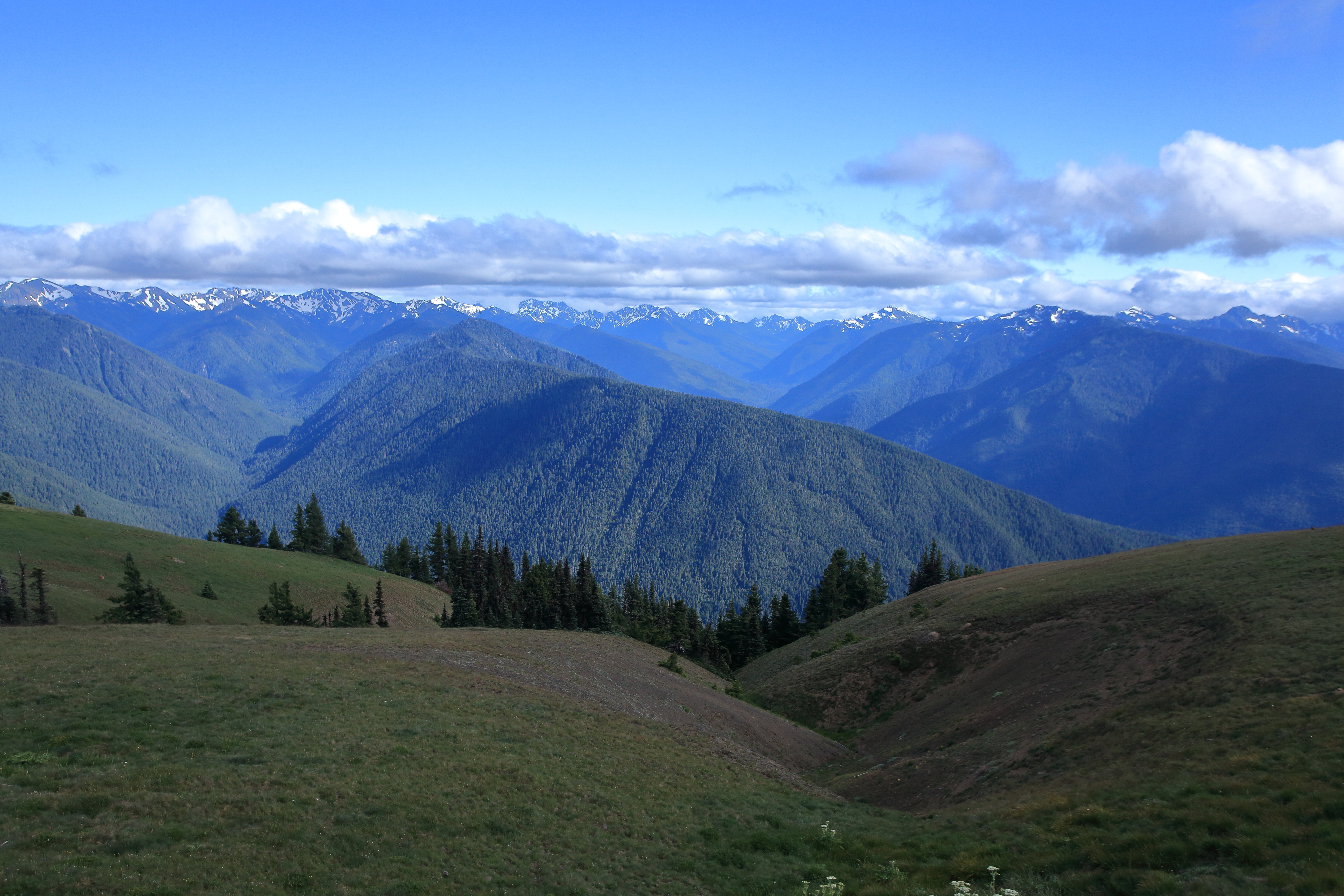
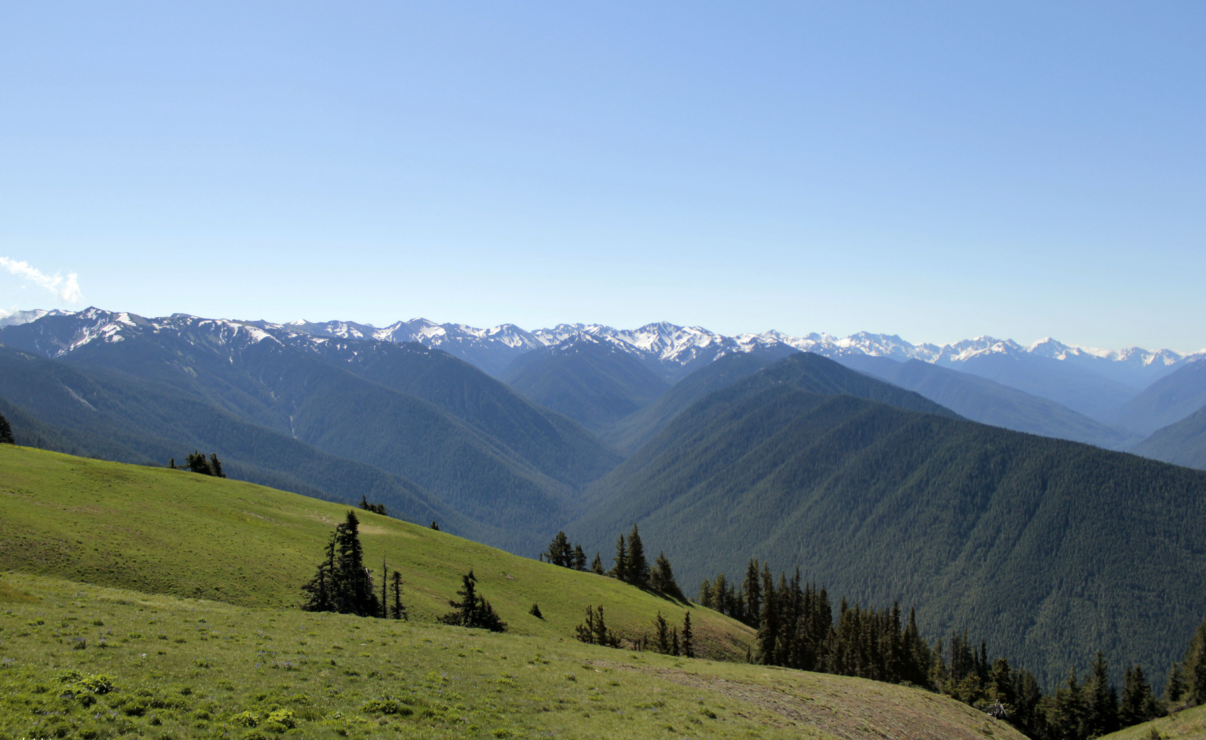
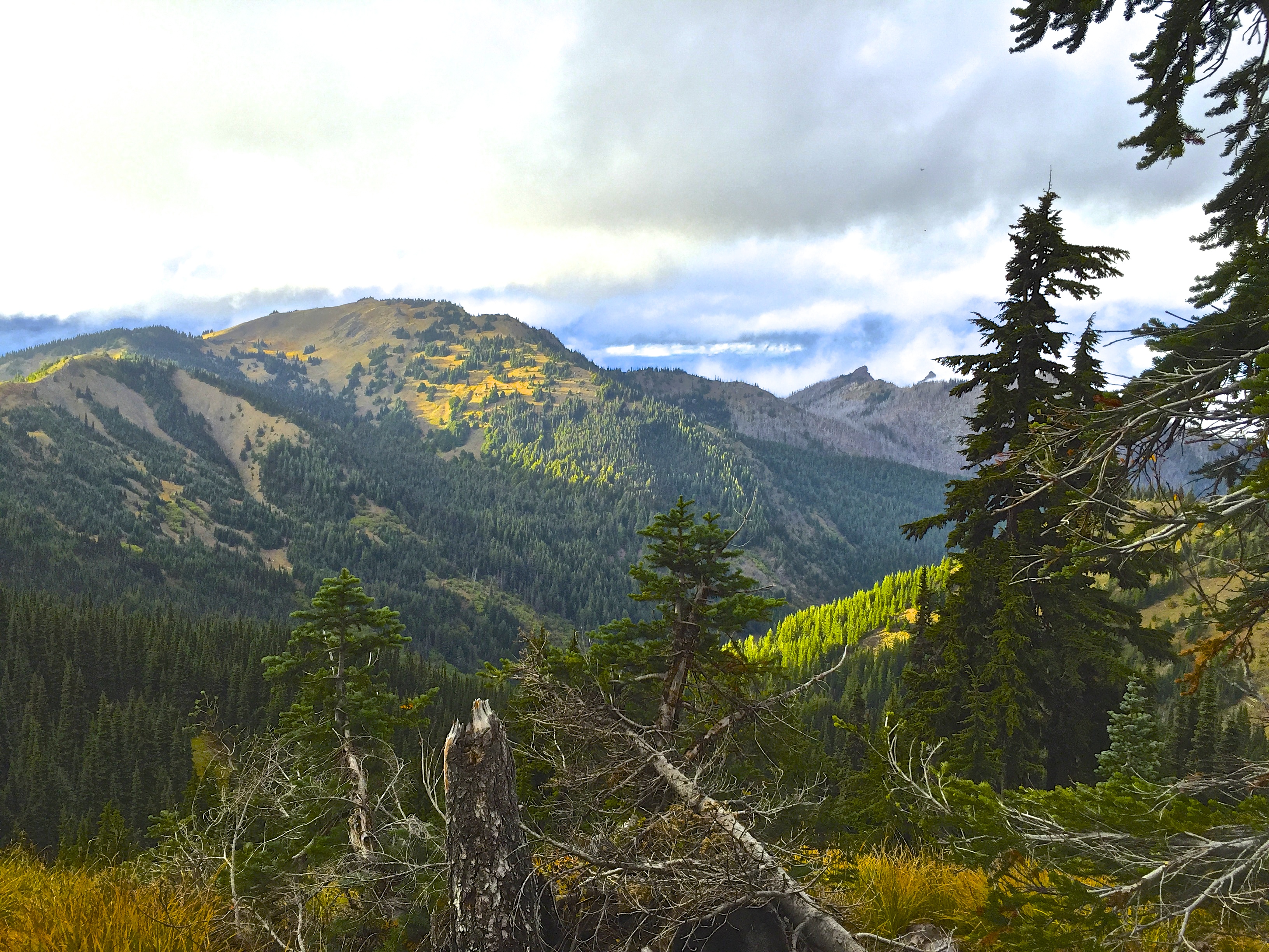
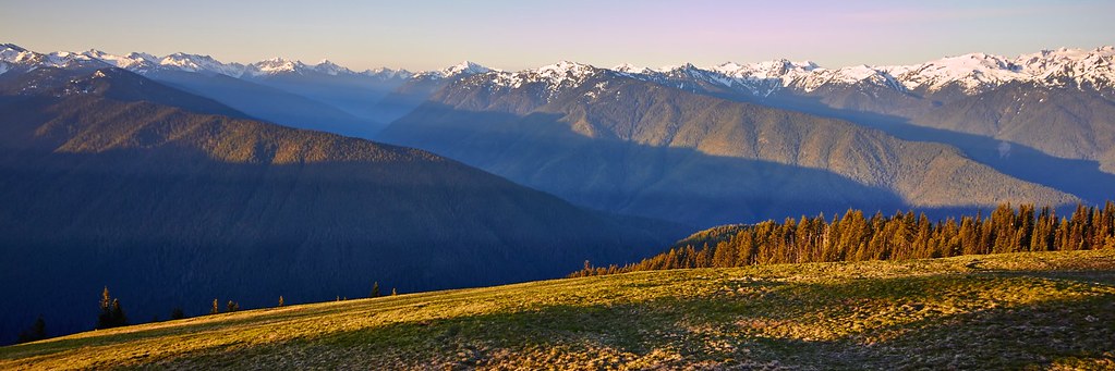
Hurricane Ridge
Olympic Stream.
3 sooty grouse with distant tourists.
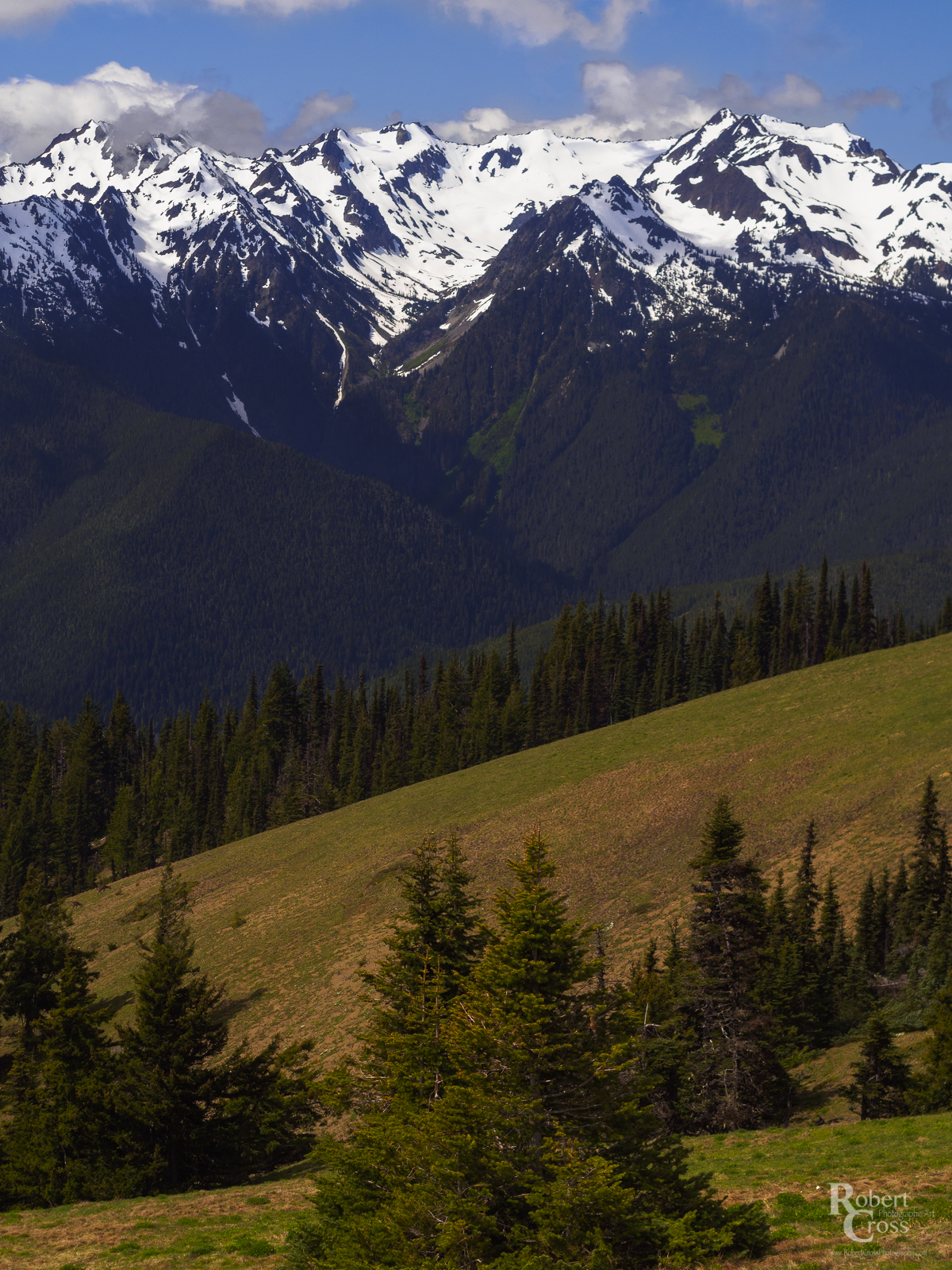
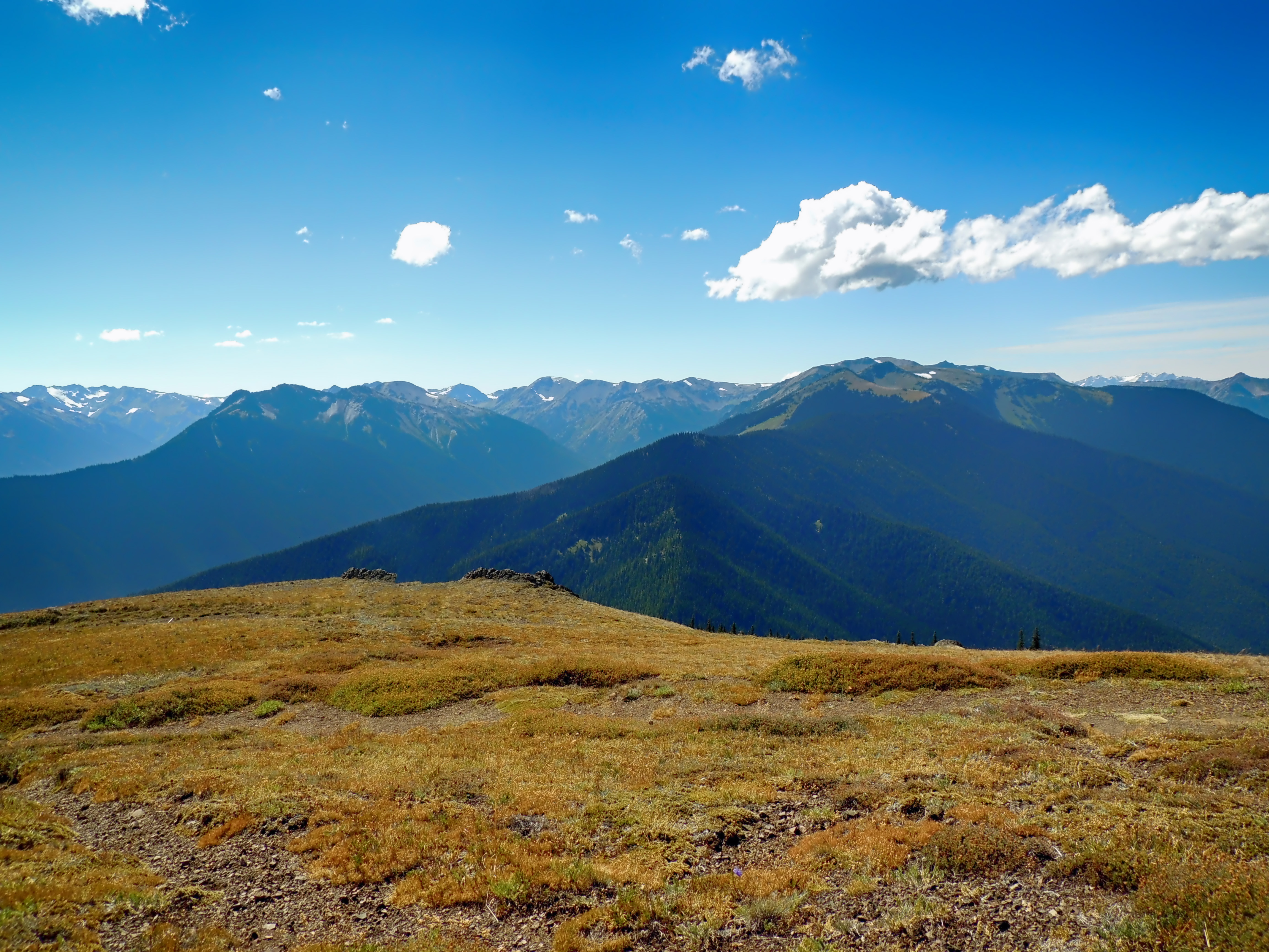
A View of Hillsides and Mountains (Olympic National Park)
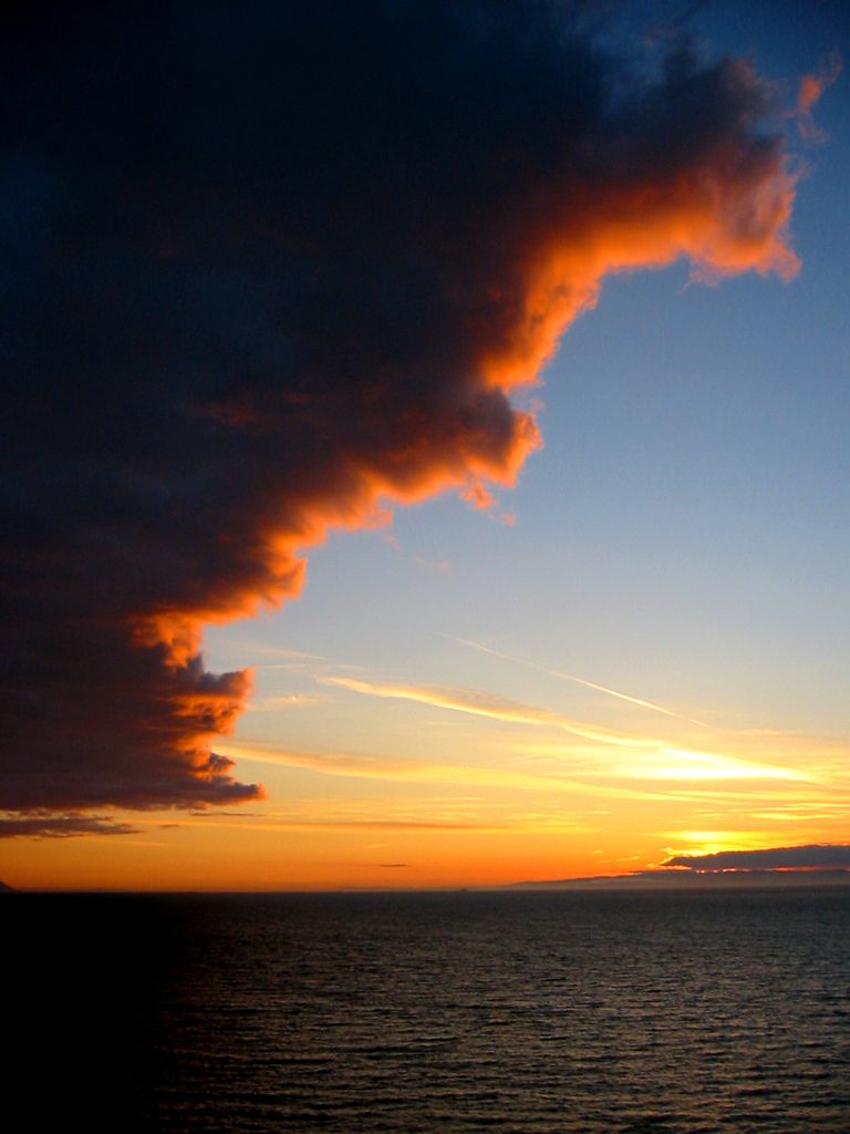
Cloud Bank
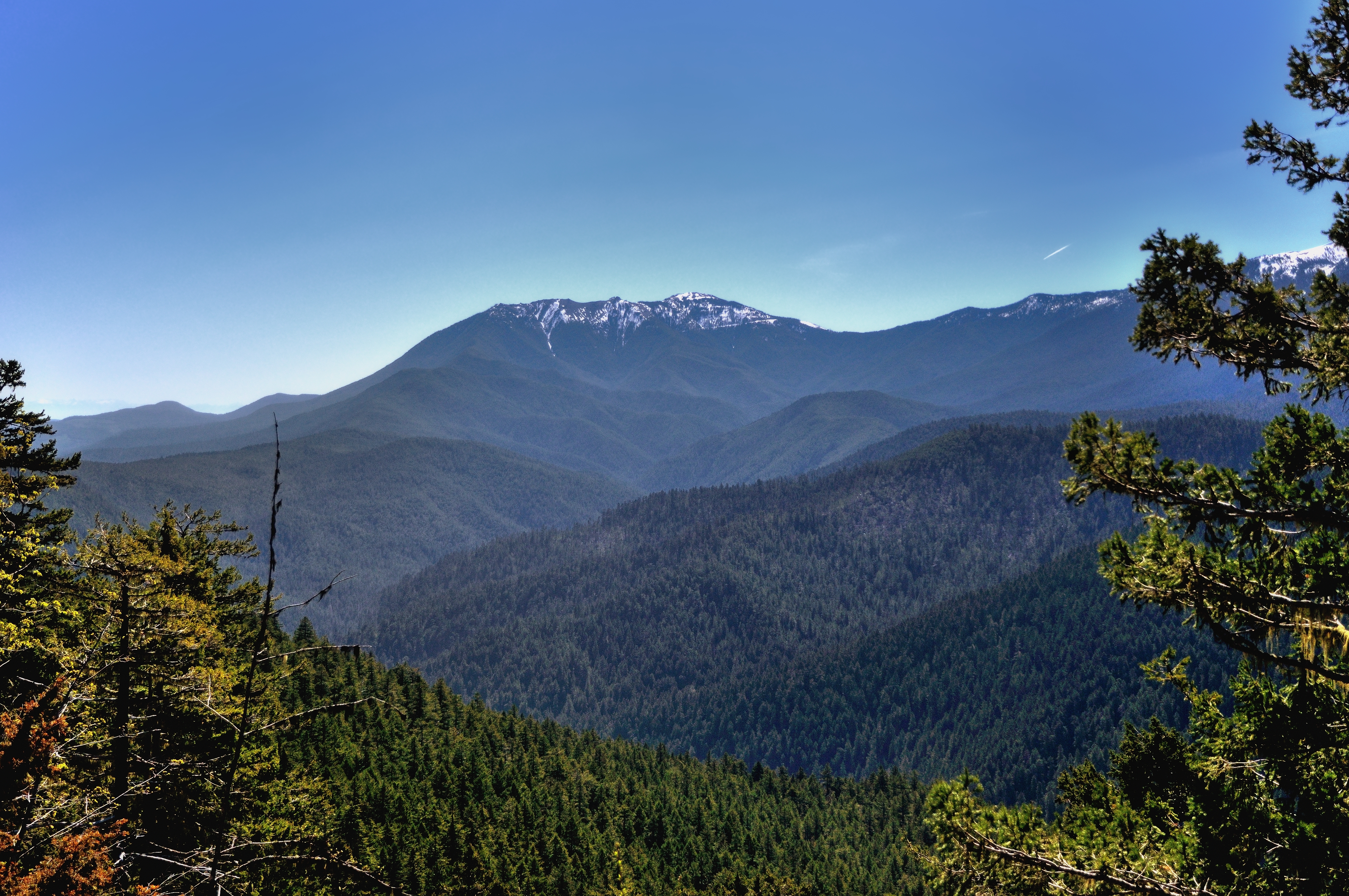
Olympic Mountains
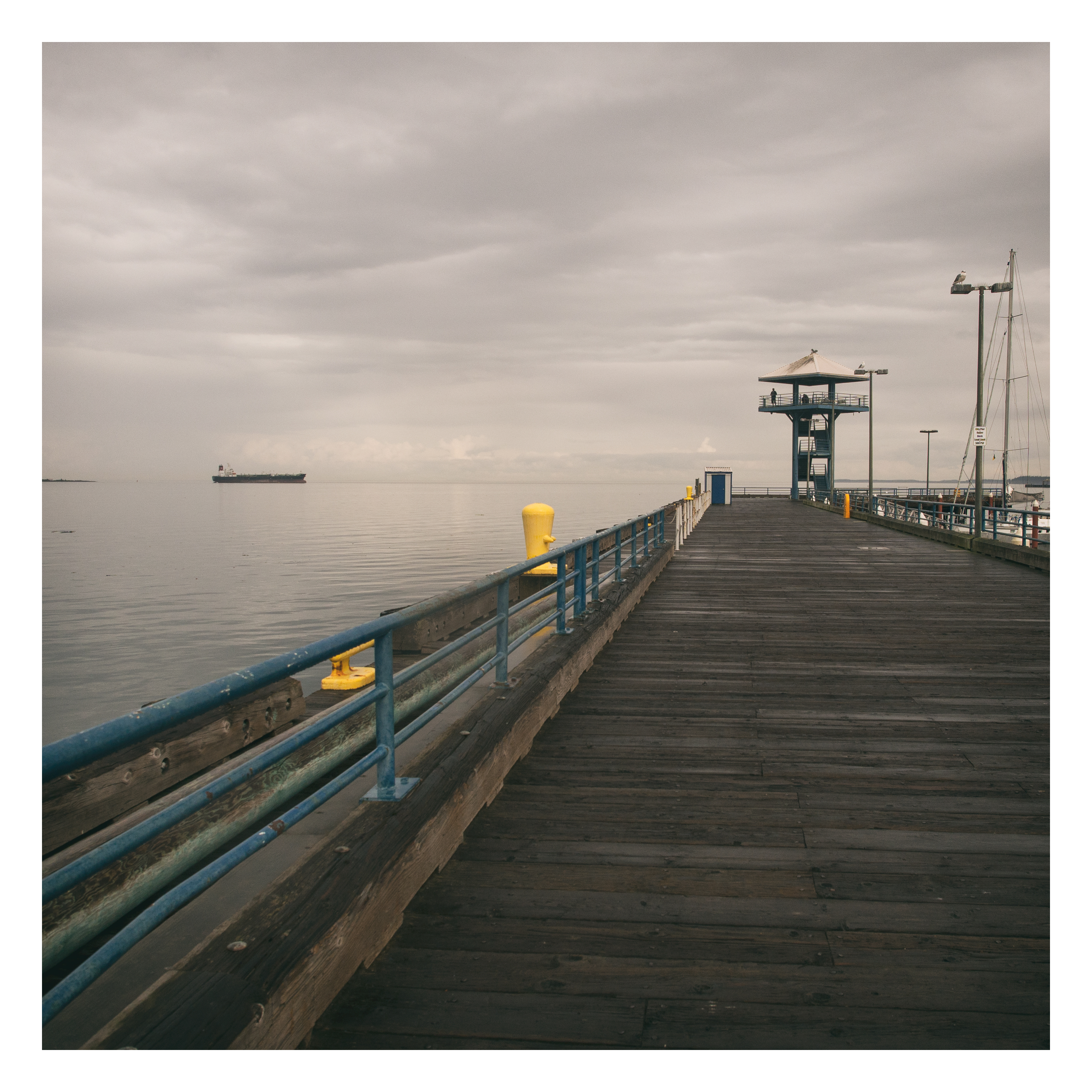
port angeles city pier
Hurricane Ridge
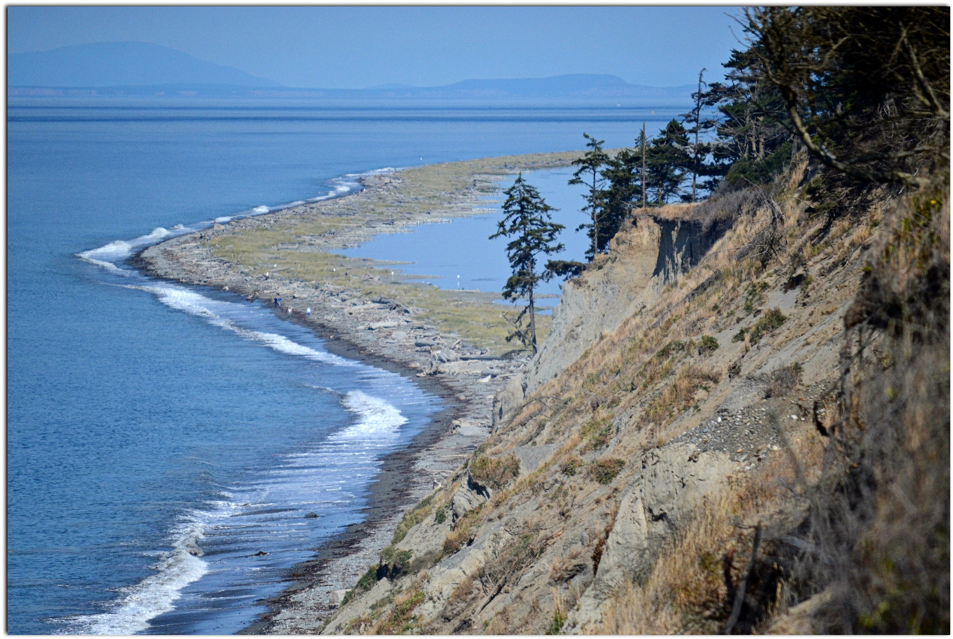
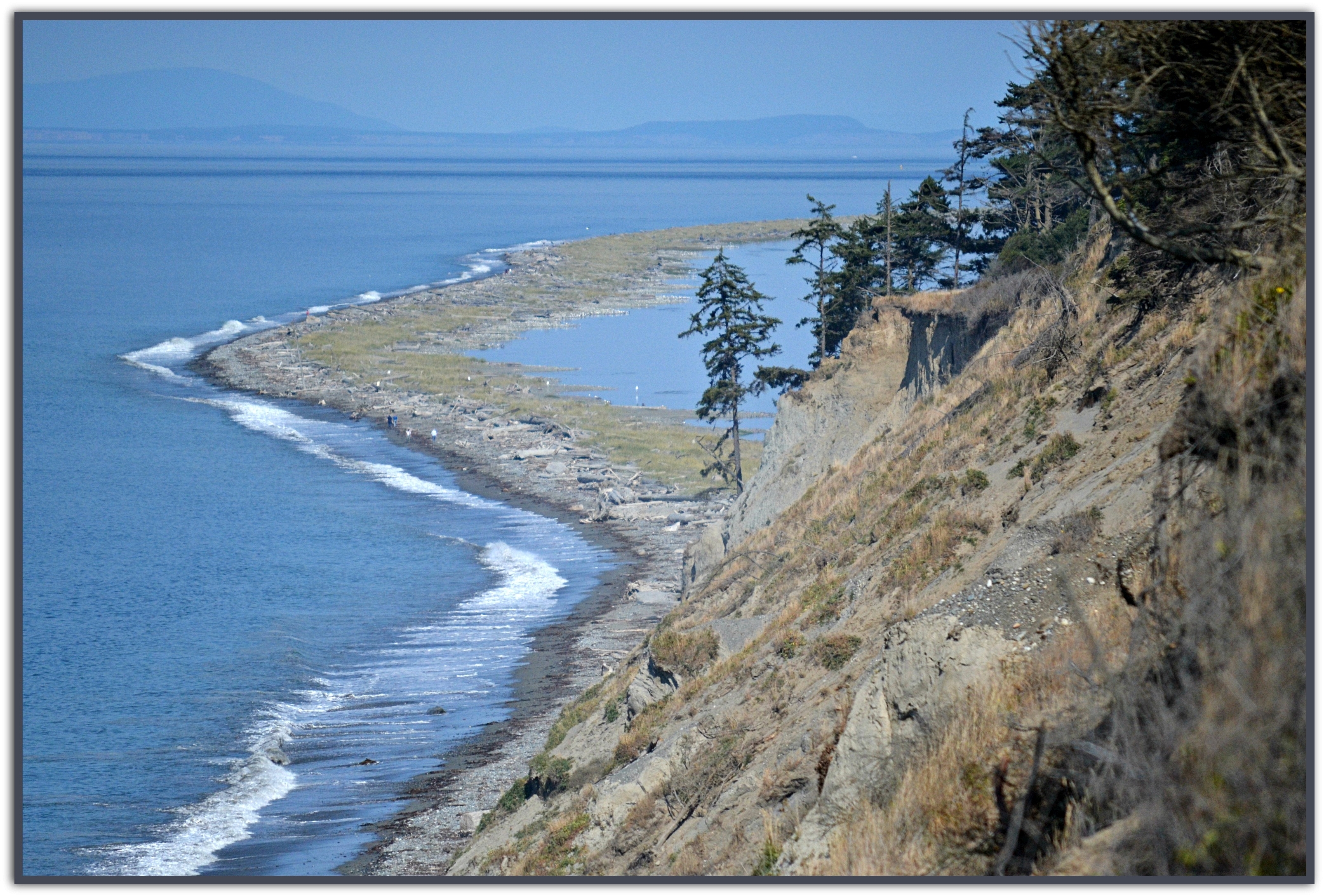
The Bluff
"How silently they tumble down"

Fence View
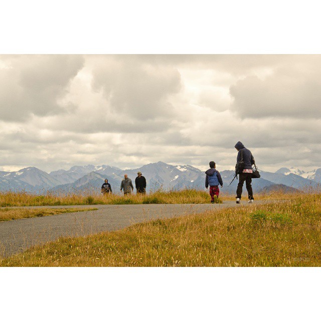
View from the #HurricaneRidge #OlympicNationalPark #washington
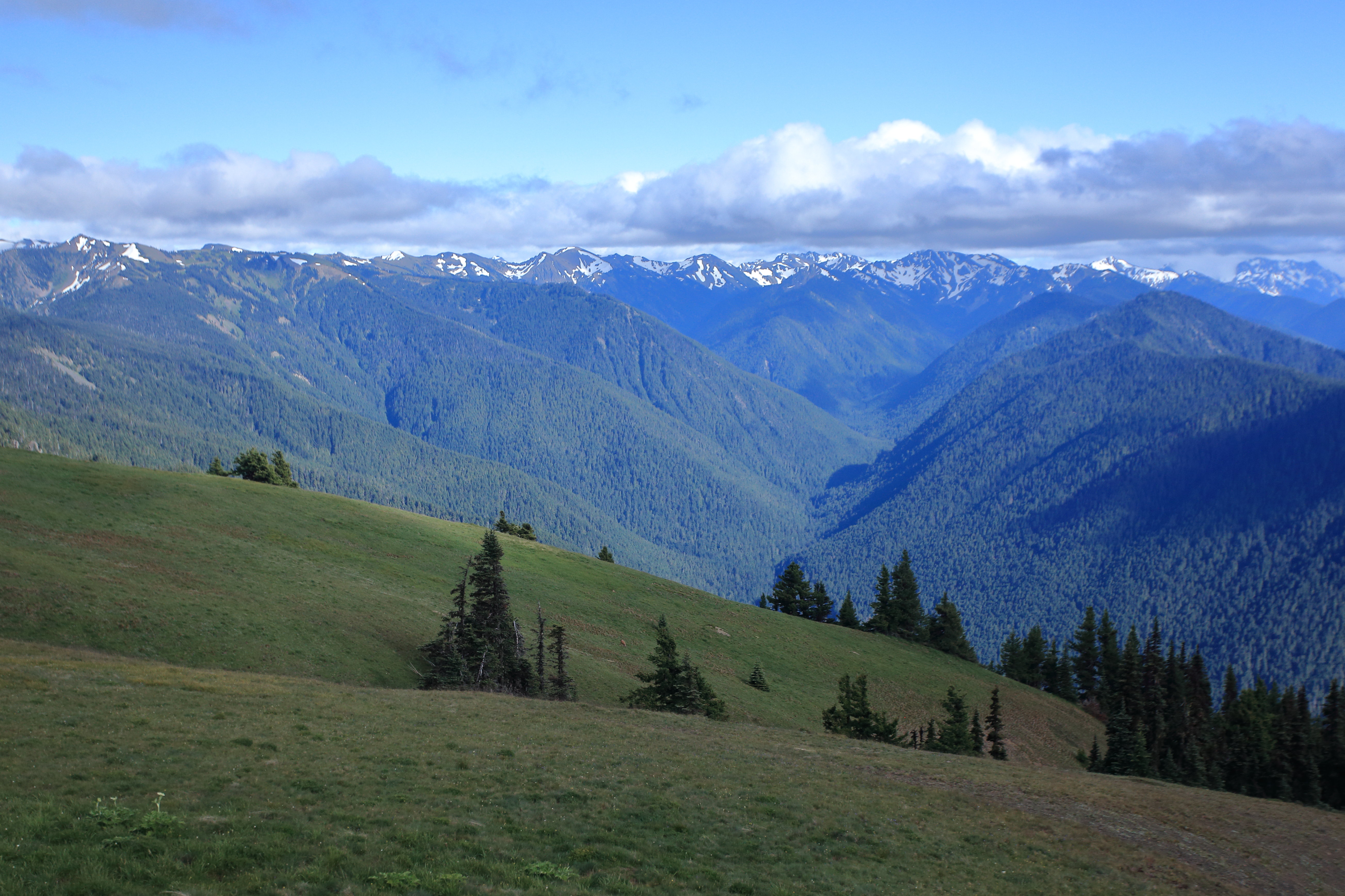
Hurricane Ridge
Hurricane Ridge
Hurricane Ridge
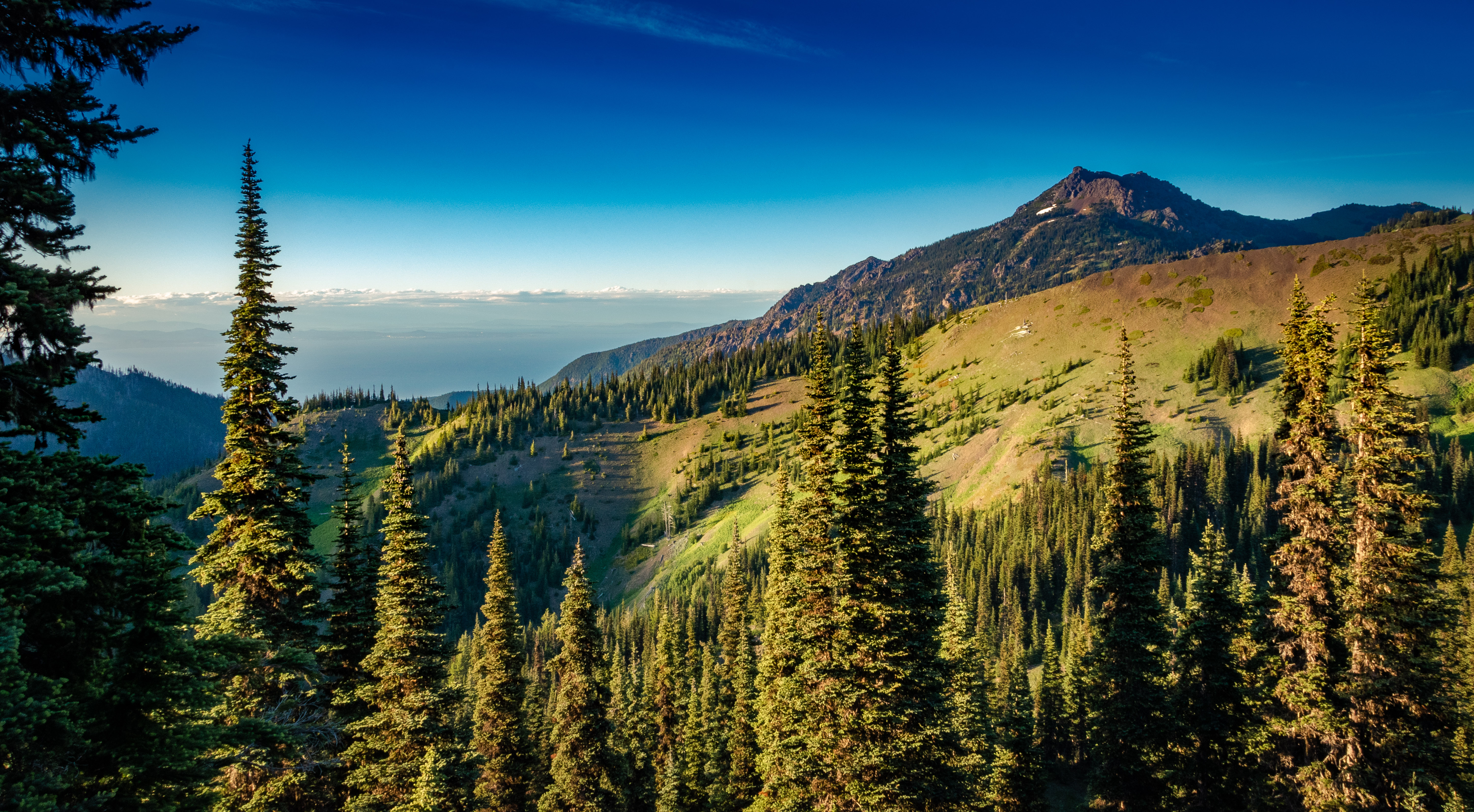
View looking east from Hurricane Ridge.

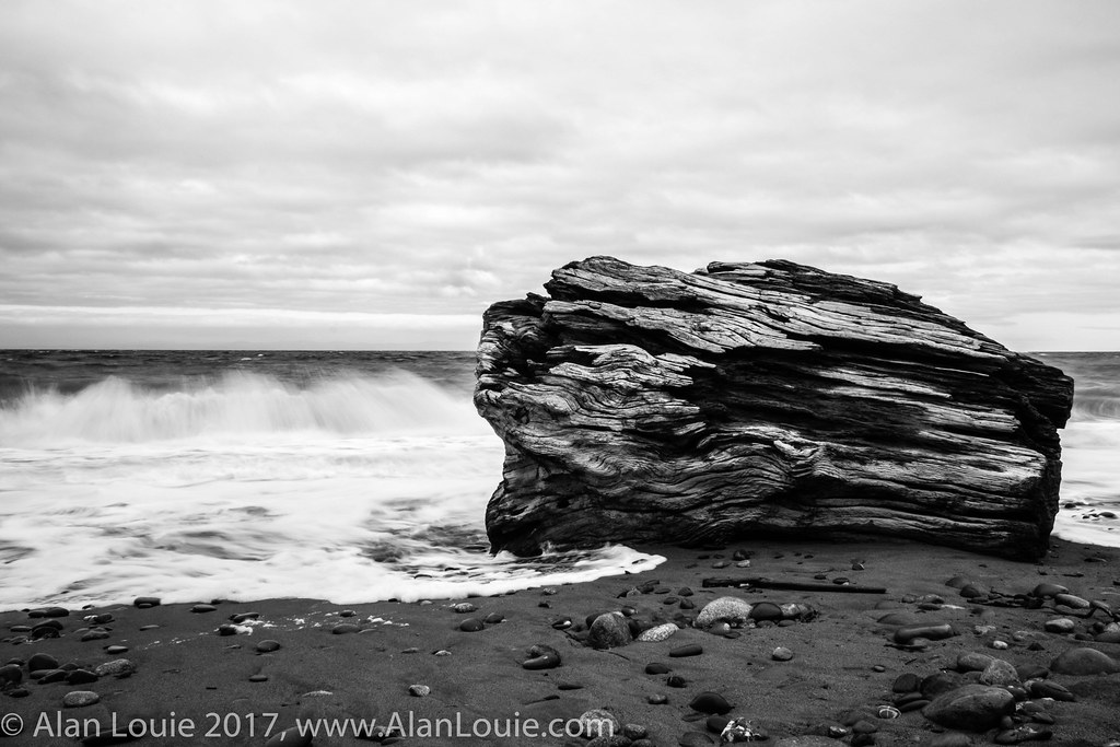
Same log, different view.
Hurricane Ridge
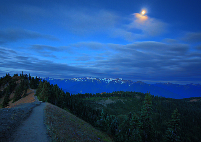
Moon Over Sunrise
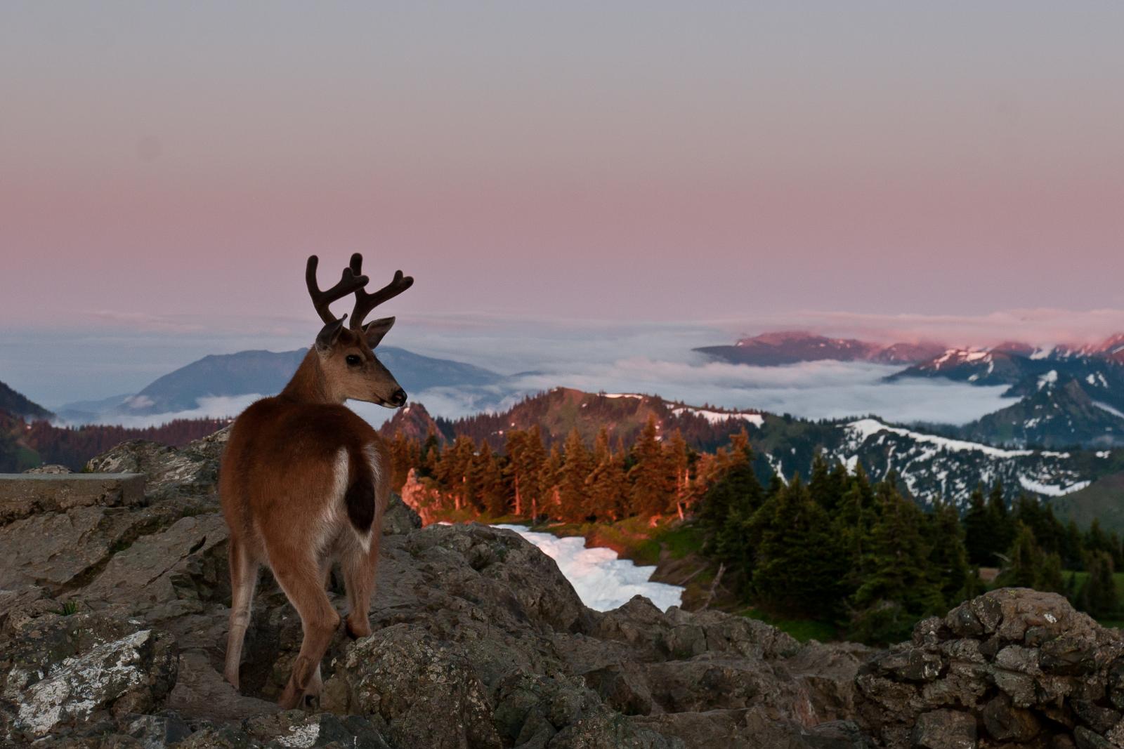
Deer at Hurricane Ridge, Olympic National Park
PIX-IMG_5883HDTV-Test-g
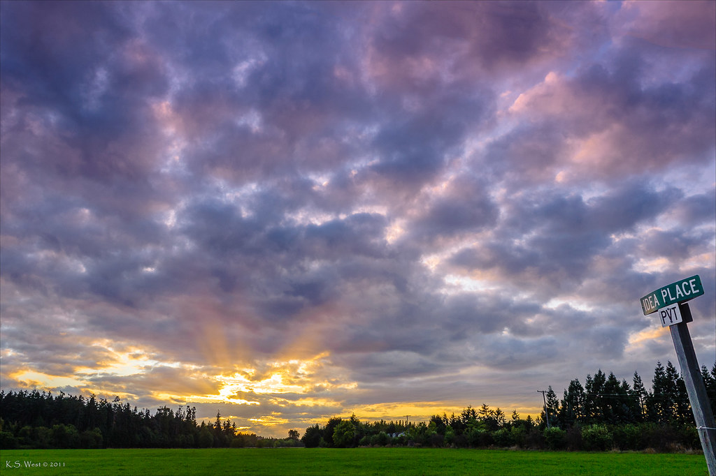
Idea Place, Sequim, Washington, 2011

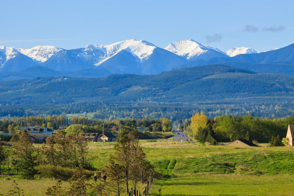
Deer Park overlooking the Olympics Mt Range

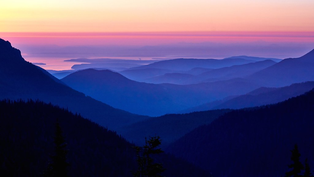
A fleeting glimpse of Port Angeles, Washington
Deer Park
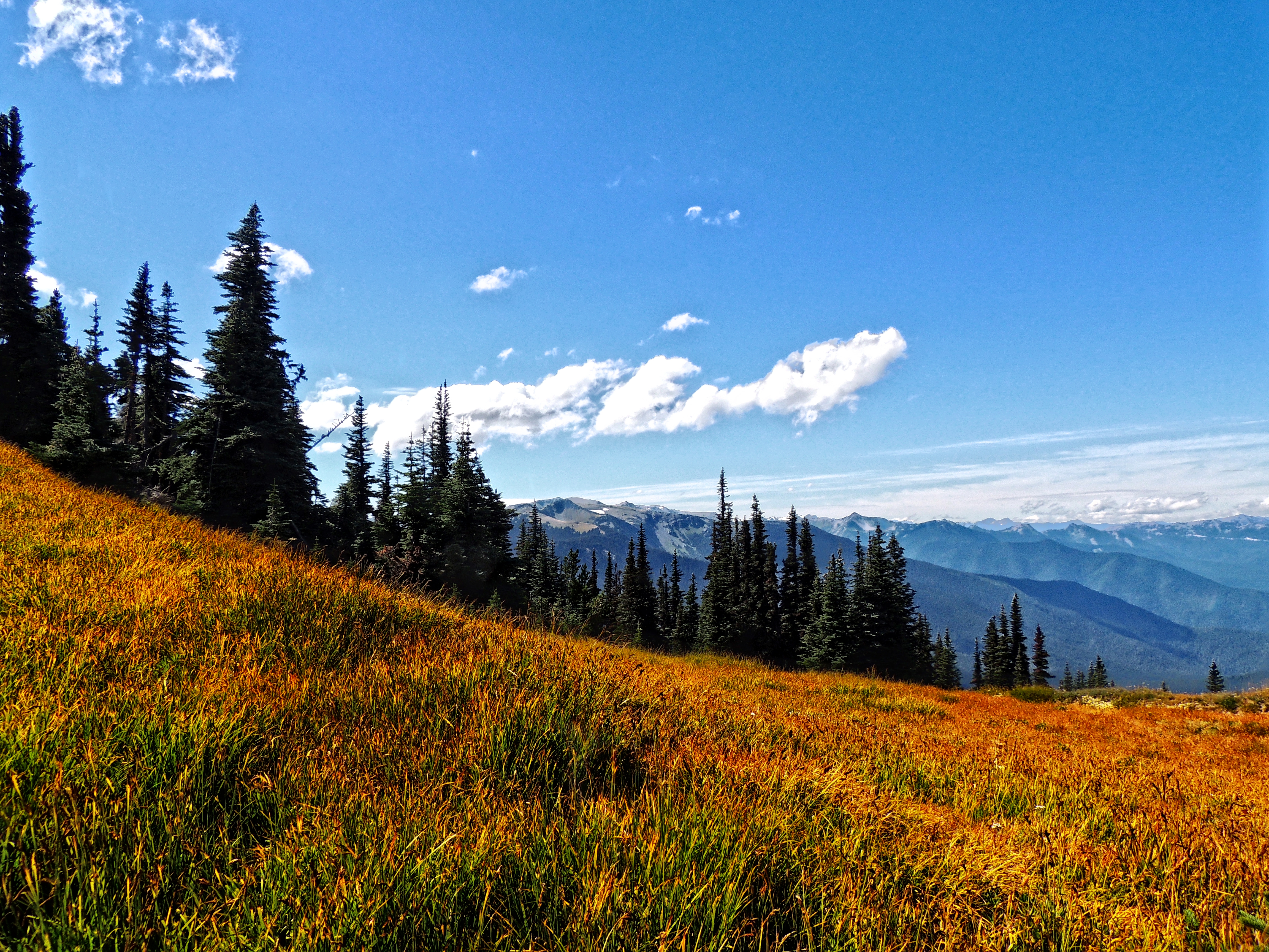
Meadow, Forest, Peaks, and Sky
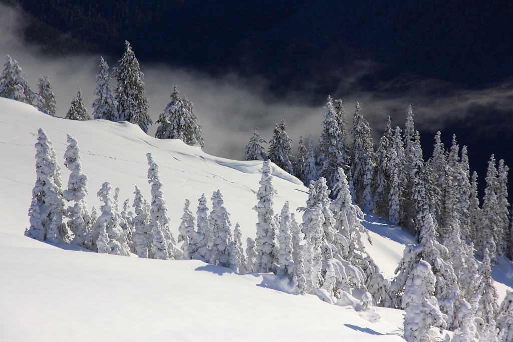
IMG_9233 Hurricane Ridge in Winter
I Hope You Like Blue...
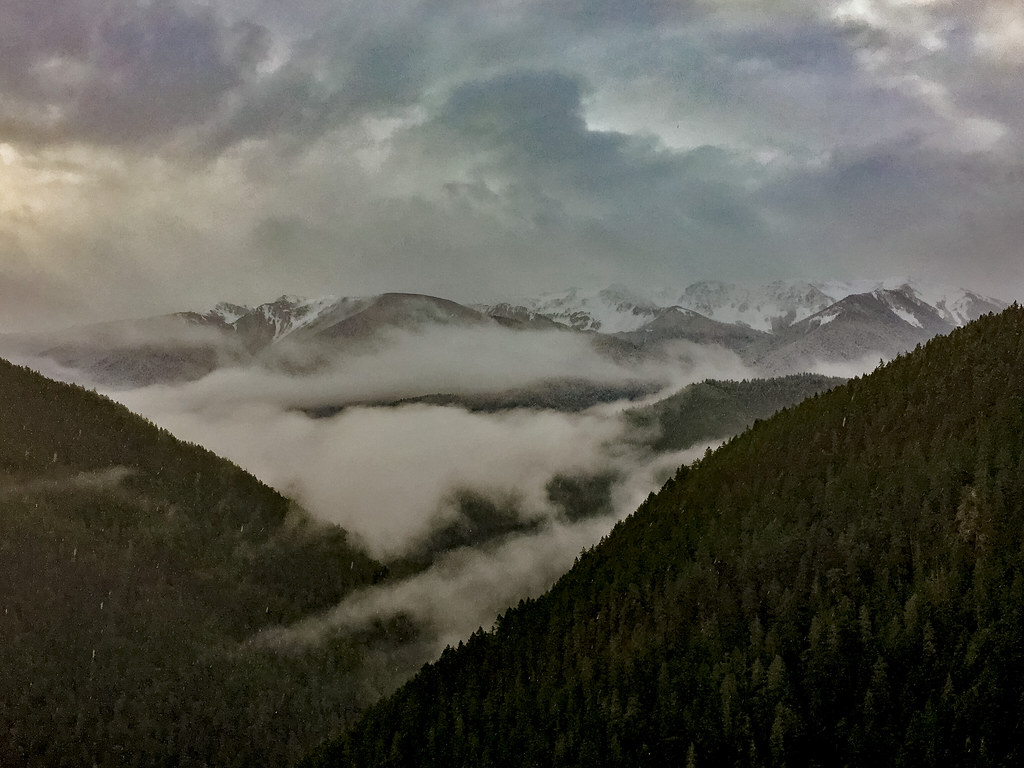
Cloud Break
20170310 Dungeness NWR 012.jpg
DSC_0128.jpg
Deer Park
My Serenity
PIX-IMG_6181HDTV-Test-g
Summer is over. Time to see some awesome NP foliage. #olympicnationalpark #nps

#lost #hiking
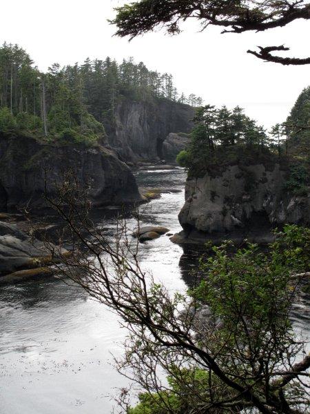
Cape Flathery
Topographic Map of Columbine Way, Port Angeles, WA, USA
Find elevation by address:

Places near Columbine Way, Port Angeles, WA, USA:
132 Columbine Way
453 Merrill Way
362 Birdsong Ln
100 Alderview Dr
Alderview Drive
300 Alderview Dr
350 Alderview Dr
145 Hurricane View Ln
145 Hurricane View Ln
365 Miles Rd
Township Line Road
999 Township Line Rd
84 Cedar Hollow Dr
1444 Township Line Rd
120 Frog Creek Dr
85 Hidden Valley Rd
Quail Run Road
45 Cherry Tree Ln
652 Quail Run Rd
82 Deer Run
Recent Searches:
- Elevation of Rojo Ct, Atascadero, CA, USA
- Elevation of Flagstaff Drive, Flagstaff Dr, North Carolina, USA
- Elevation of Avery Ln, Lakeland, FL, USA
- Elevation of Woolwine, VA, USA
- Elevation of Lumagwas Diversified Farmers Multi-Purpose Cooperative, Lumagwas, Adtuyon, RV32+MH7, Pangantucan, Bukidnon, Philippines
- Elevation of Homestead Ridge, New Braunfels, TX, USA
- Elevation of Orchard Road, Orchard Rd, Marlborough, NY, USA
- Elevation of 12 Hutchinson Woods Dr, Fletcher, NC, USA
- Elevation of Holloway Ave, San Francisco, CA, USA
- Elevation of Norfolk, NY, USA