Elevation of Columbine Knolls, Columbine, CO, USA
Location: United States > Colorado > Jefferson County > Columbine >
Longitude: -105.06450
Latitude: 39.5841605
Elevation: 1674m / 5492feet
Barometric Pressure: 83KPa
Elevation Map:
Satellite Map:
Related Photos:

snow harvest

Just Beyond My View

some may follow
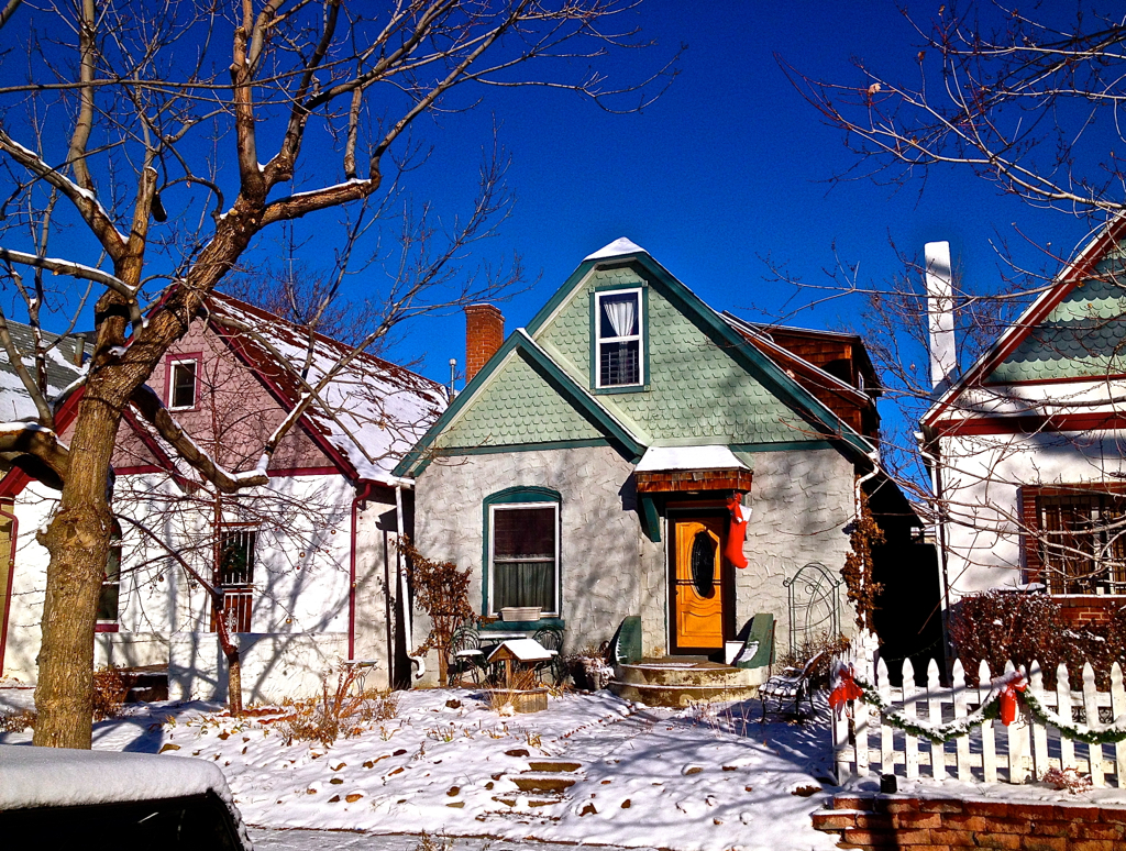
Denver Winter Suburbia

end of waterton

After the Blizzard

field dreaming

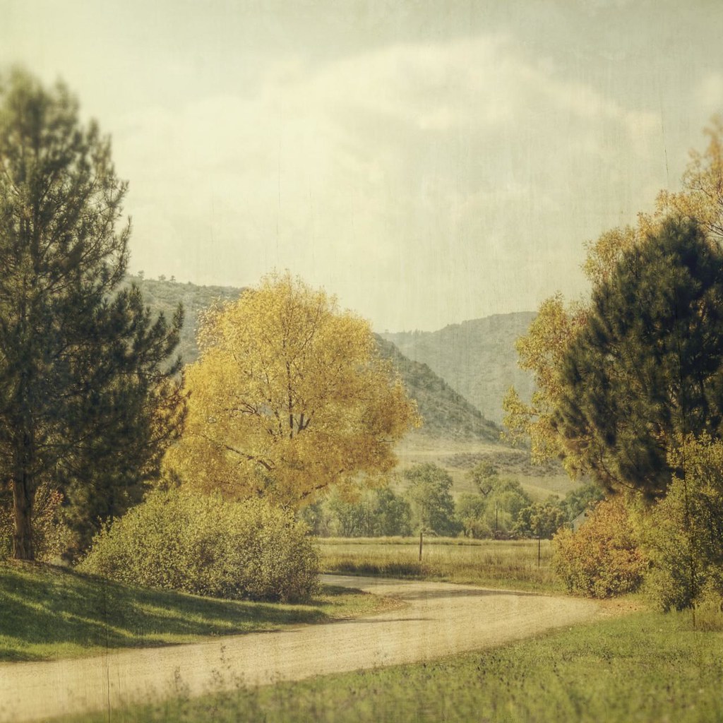
Bend in the Road
bend around yellow

created moments

mary, mary

Windows With A View

silent stirring

across the shore of morning

ageless recollections
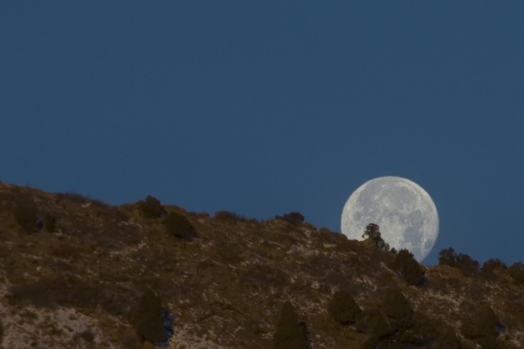
Lunar Landing

white barn

finding jack

garded moment

cool running

stand together

THE HOGBACK BY MORRISON

BEAR CREEK
Springtime in the Rockies

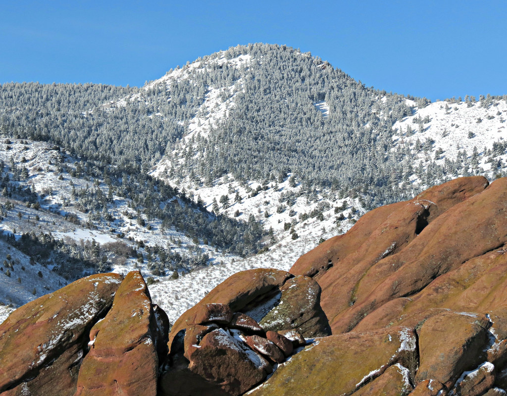
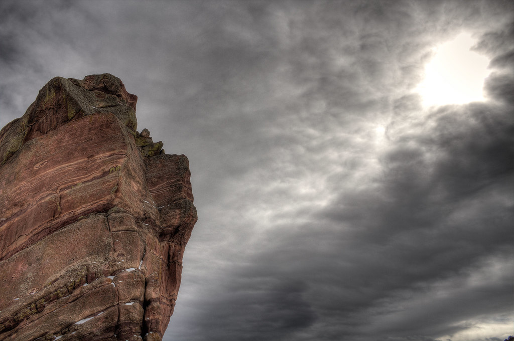
Daybreak, Red Rocks

BEAR CREEK PARK

REDROCKS AMPHITHEATRE
Snow on the Rocks

Icy Reflections
Dawn of a New Day

Dead Heads

Red Rocks Morning

Red Rocks Sunrise
Just another fall day
Dawn Breaks at Red Rocks

KENDRICK LAKE GLORY

Earth and sky
Shine on thru Red Rocks
Topographic Map of Columbine Knolls, Columbine, CO, USA
Find elevation by address:

Places near Columbine Knolls, Columbine, CO, USA:
5539 W Hinsdale Ave
Columbine
6979 S Newland St
7912 S Depew St
7230 W Portland Ave
South Benton Way
Leawood
7762 W Quarto Dr
Columbine High School
8261 S Teller Way
Leawood Elementary School
8109 W Fremont Ave
Columbine West
8271 W Quarto Dr
69 Spyglass Dr
5828 Paintbrush Ct
7735 W Long Dr
5967 W Alamo Dr
West Berry Avenue
Littleton, CO, USA
Recent Searches:
- Elevation of Corso Fratelli Cairoli, 35, Macerata MC, Italy
- Elevation of Tallevast Rd, Sarasota, FL, USA
- Elevation of 4th St E, Sonoma, CA, USA
- Elevation of Black Hollow Rd, Pennsdale, PA, USA
- Elevation of Oakland Ave, Williamsport, PA, USA
- Elevation of Pedrógão Grande, Portugal
- Elevation of Klee Dr, Martinsburg, WV, USA
- Elevation of Via Roma, Pieranica CR, Italy
- Elevation of Tavkvetili Mountain, Georgia
- Elevation of Hartfords Bluff Cir, Mt Pleasant, SC, USA