Elevation of Colonial Mill Dr, Delmar, MD, USA
Location: United States > Maryland > Wicomico County > 5, Parsons > Delmar >
Longitude: -75.557812
Latitude: 38.4479516
Elevation: 15m / 49feet
Barometric Pressure: 101KPa
Elevation Map:
Satellite Map:
Related Photos:

Smith Mining
Trees of Trussum - Taken near Trussom Pond and Trap Pond State Park in Laurel, DE

Only God can make a tree

Holloway Hall
St. Francis de Sales Catholic Church

Park Foliage

Juvenile RTH

riverside dr salisbury

Park IR
Nest Building: 101
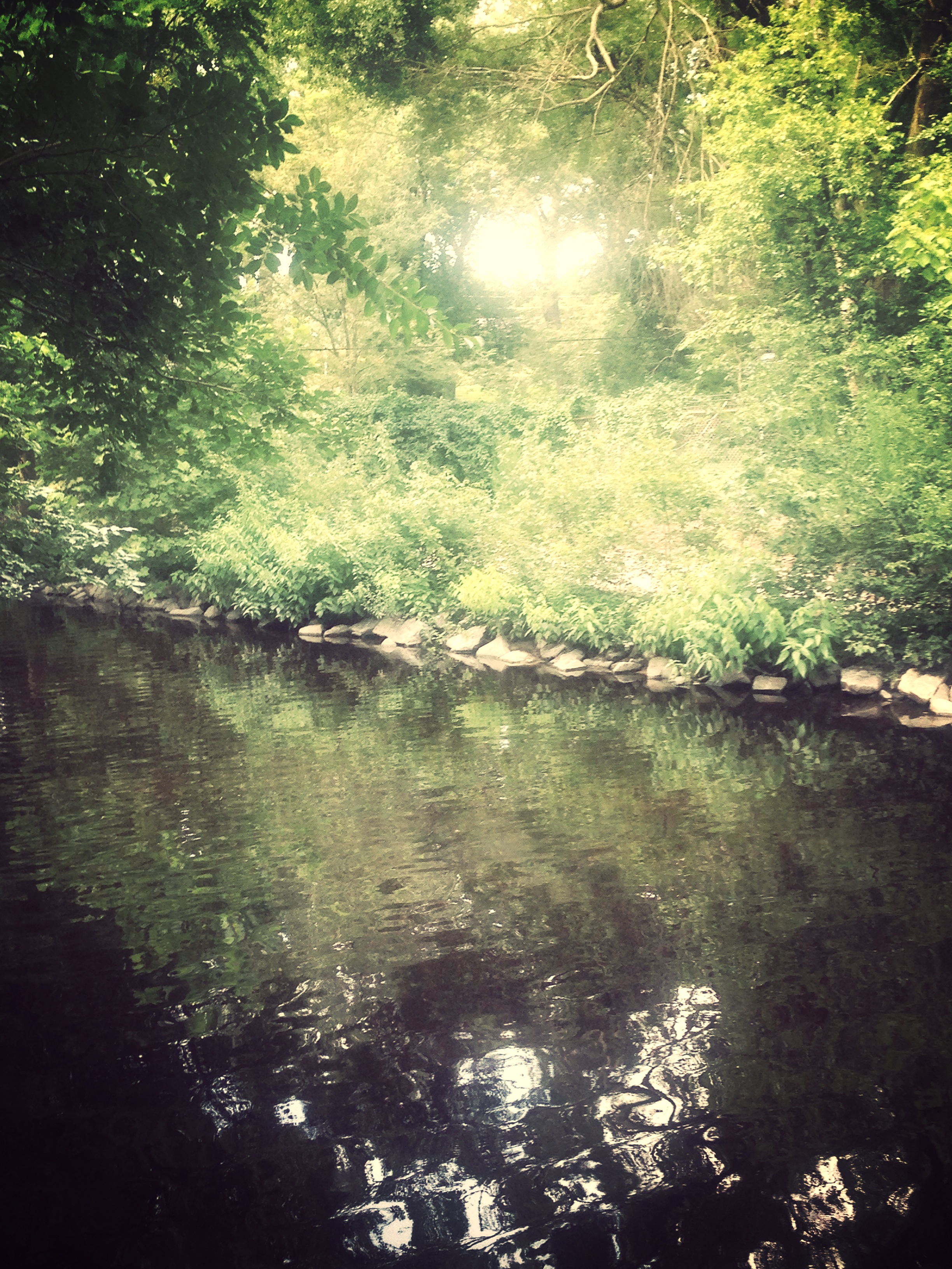
Stream view from a footbridge

bw version

The Path To The Infrarealm

Salisbury City Park

The Blueblack Cold

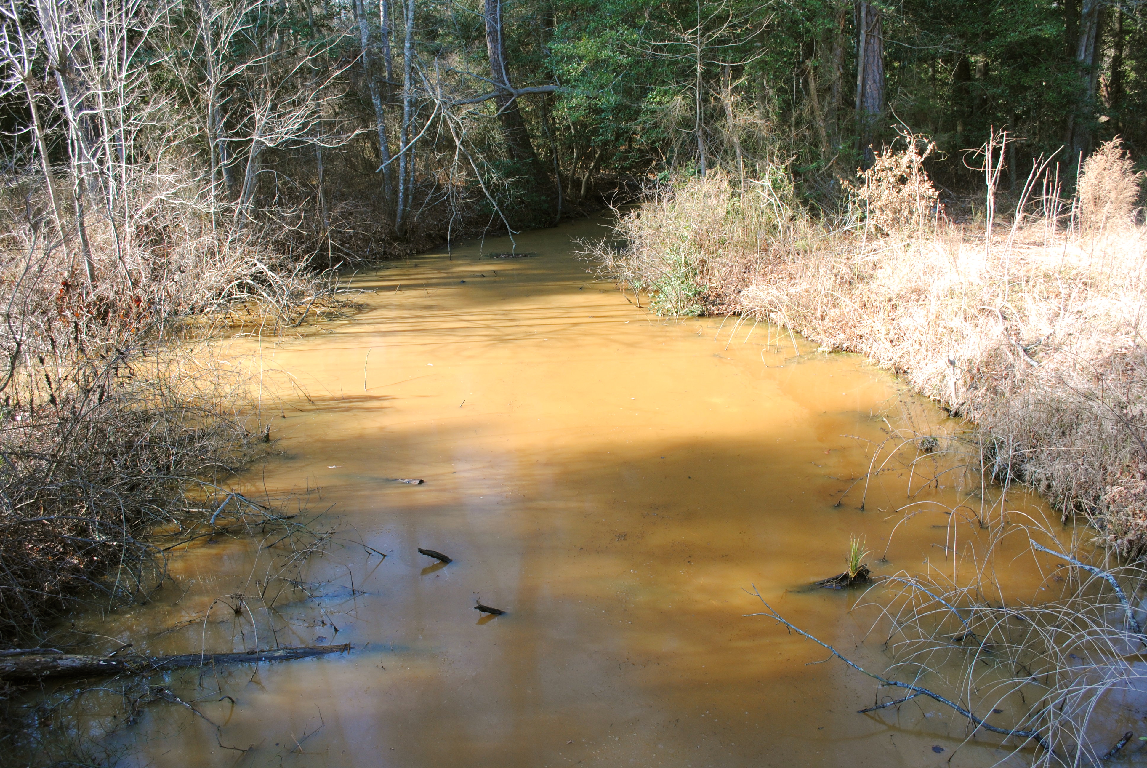
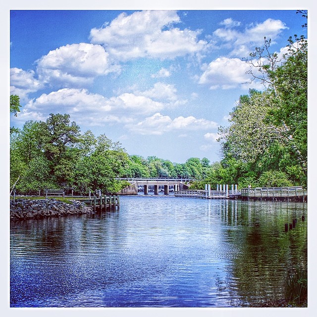
Wicomico River, East Prong
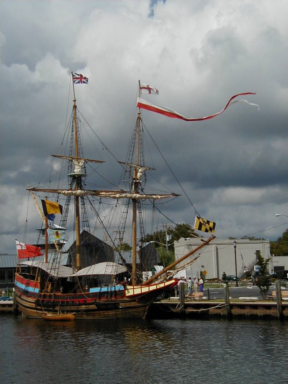
The Maryland Dove
Almost B&W
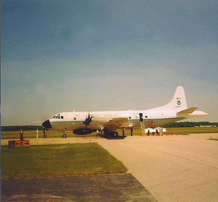
NOAA Hurricane Hunter Airplane

Stream view from a footbridge
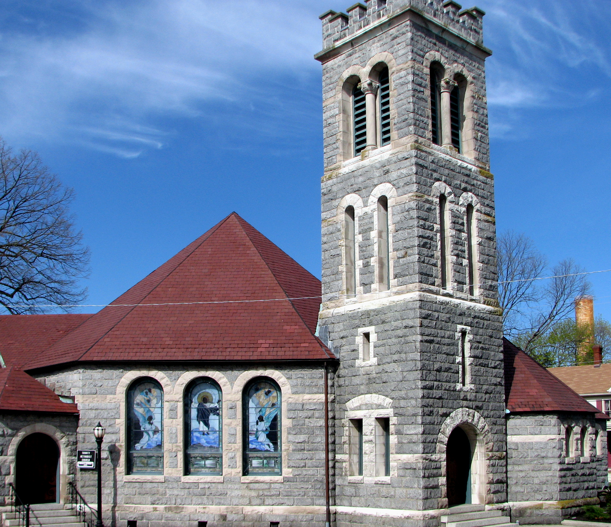
Trinity U.M. Church, Salisbury, Maryland

Country Road

Trap Pond State Park
Trap Pond State Park
dawn reflected

Sunset in Salisbury,MD
Hiking with Max today.
#delaware #field#spring #wildflower #yellow #laurel
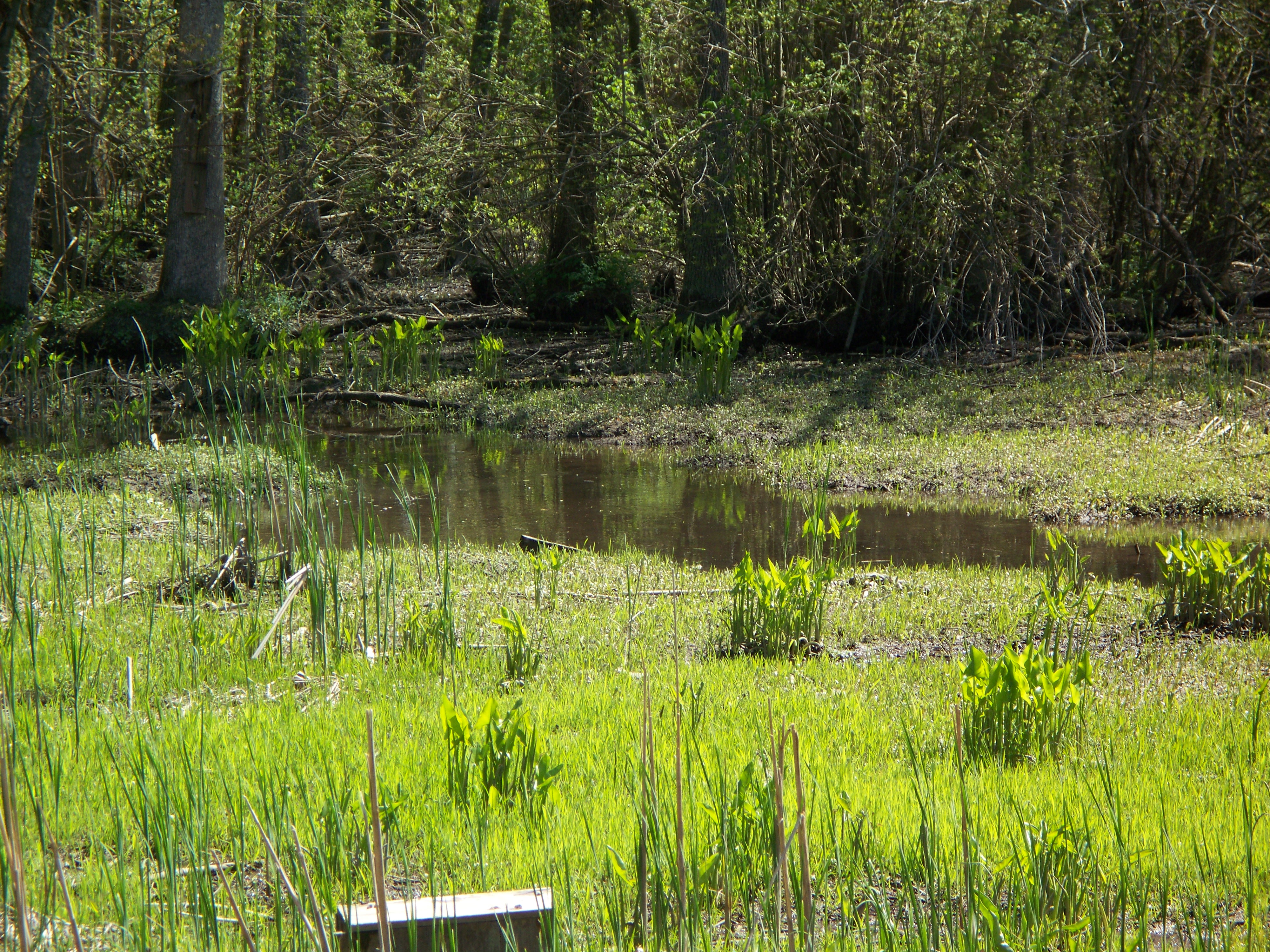
Marsh at Pemberton Historic Park
Today's trip to the zoo!! So much fun :)

Stand of Trees

Salisbury Maryland

colorado horses

Soda Can Baseball: Round 2
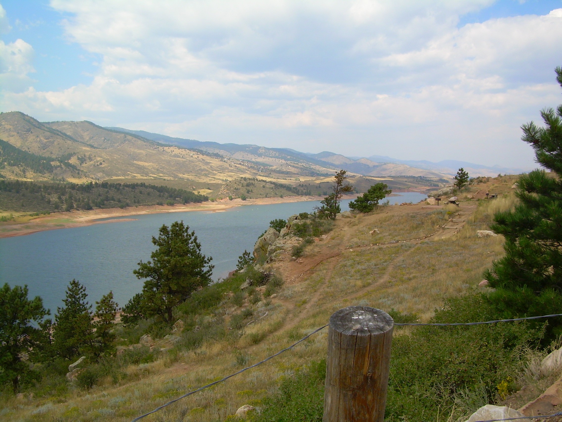
colorado scenery 2
Trap Pond State Park

Backlit Clouds

Assateague Horse and Landscape
#laurel#delaware #clouds

Ornate headstone
Topographic Map of Colonial Mill Dr, Delmar, MD, USA
Find elevation by address:

Places near Colonial Mill Dr, Delmar, MD, USA:
8863 Mar Lynn Dr
8709 Mar Lynn Dr
Delmar
Connelly Mill Rd
Delmar
8718 Mar Lynn Dr
29994 Connelly Mill Rd
Leonard Dr, Delmar, MD, USA
Dagsboro Road
Mill Pond Village Apartments
420 Lindenhurst Ct
Zion Rd, Salisbury, MD, USA
8480 Northumberland Dr
Pembroke Ct, Delmar, MD, USA
Bowman Dr, Salisbury, MD, USA
Morris Leonard Rd, Parsonsburg, MD, USA
Cherry Way
Whitesville Rd, Delmar, DE, USA
6933 Sandy Ridge Ct
Downing Rd, Delmar, MD, USA
Recent Searches:
- Elevation of Rojo Ct, Atascadero, CA, USA
- Elevation of Flagstaff Drive, Flagstaff Dr, North Carolina, USA
- Elevation of Avery Ln, Lakeland, FL, USA
- Elevation of Woolwine, VA, USA
- Elevation of Lumagwas Diversified Farmers Multi-Purpose Cooperative, Lumagwas, Adtuyon, RV32+MH7, Pangantucan, Bukidnon, Philippines
- Elevation of Homestead Ridge, New Braunfels, TX, USA
- Elevation of Orchard Road, Orchard Rd, Marlborough, NY, USA
- Elevation of 12 Hutchinson Woods Dr, Fletcher, NC, USA
- Elevation of Holloway Ave, San Francisco, CA, USA
- Elevation of Norfolk, NY, USA