Elevation of Collins Hwy, Pikeville, KY, USA
Location: United States > Kentucky > Pike County > Shelbiana >
Longitude: -82.508806
Latitude: 37.4061881
Elevation: 216m / 709feet
Barometric Pressure: 99KPa
Elevation Map:
Satellite Map:
Related Photos:

Pikeville, KY

20110712-RD-LSC-0224

Pauley Bridge

DND365 19
20110712-RD-LSC-0214

20110712RD-LSC-0231
US 23/US 460 Future Interchange

Grapevine Sunset

Day 239: Pikeville Cut-Through

Levisa Fork: Big Sandy River

Rainbow Sunrise

Kentucky 2009 - 40

God's Country
Pikeville Cut-Through

Cemetery Road

This is a field of dead kudzu. If you look close enough, it looks like a giant spider there in the middle. Taken with my Samsung Note 5.
Pikeville Cut-Thru
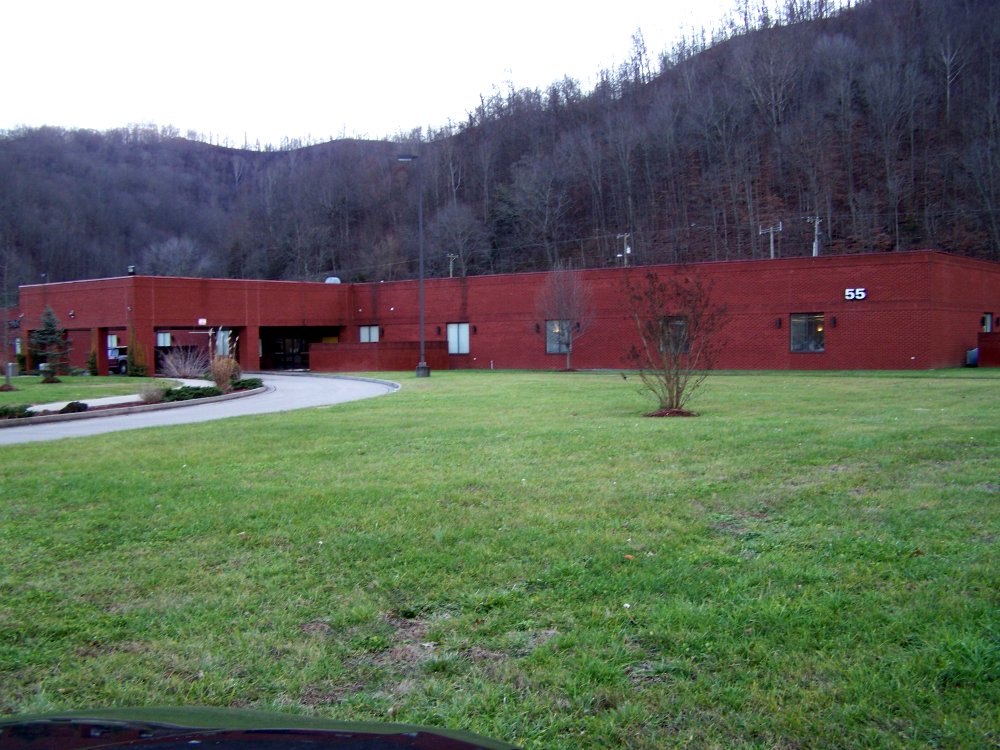
ACS Building Pikeville KY 1

US 23/US 460 Future Interchange
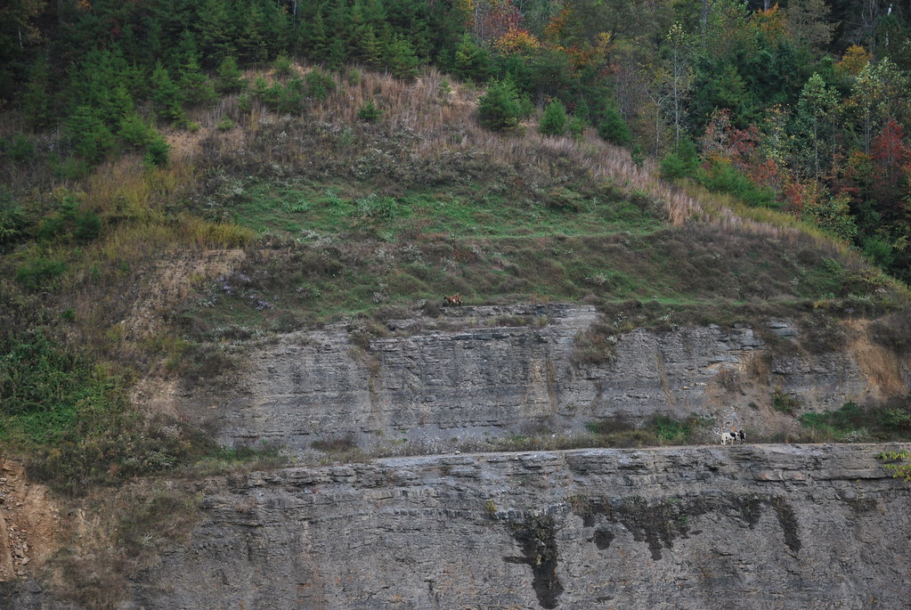
Goats at Greasy Creek Road

Pikeville Cut-Thru

Greasy Creek Valley

Pikeville Cut-Through

Pikeville Cut-Through
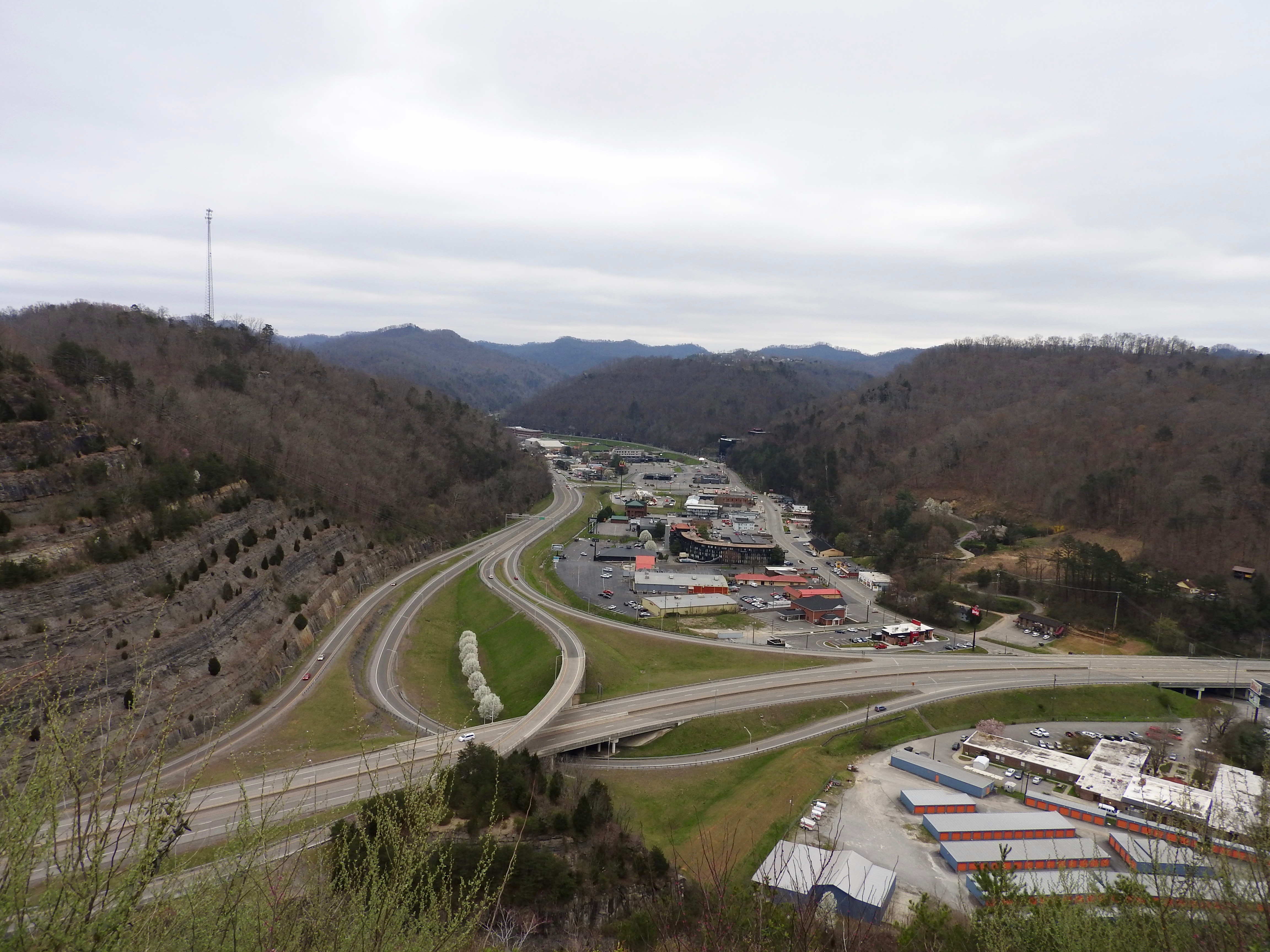
Pikeville Overlook
Topographic Map of Collins Hwy, Pikeville, KY, USA
Find elevation by address:

Places near Collins Hwy, Pikeville, KY, USA:
Little Creek, Pikeville, KY, USA
Shelbiana
Collins Hwy, Pikeville, KY, USA
4404 Chloe Rd
US-23, Pikeville, KY, USA
Marrowbone Creek Rd, Elkhorn City, KY, USA
Virgie
5984 Marrowbone Creek Rd
5984 Ky-195
528 Monkey Town Rd
3526 Marrowbone Creek Rd
155 Harless Creek
Regina Belcher Hwy, Regina, KY, USA
2100 Long Fork
Ashcamp Rd, Elkhorn City, KY, USA
KY-, Jenkins, KY, USA
KY-, Virgie, KY, USA
KY-80, Elkhorn City, KY, USA
Cedarville
KY-80, Elkhorn City, KY, USA
Recent Searches:
- Elevation of Hercules Dr, Colorado Springs, CO, USA
- Elevation of Szlak pieszy czarny, Poland
- Elevation of Griffing Blvd, Biscayne Park, FL, USA
- Elevation of Kreuzburger Weg 13, Düsseldorf, Germany
- Elevation of Gateway Blvd SE, Canton, OH, USA
- Elevation of East W.T. Harris Boulevard, E W.T. Harris Blvd, Charlotte, NC, USA
- Elevation of West Sugar Creek, Charlotte, NC, USA
- Elevation of Wayland, NY, USA
- Elevation of Steadfast Ct, Daphne, AL, USA
- Elevation of Lagasgasan, X+CQH, Tiaong, Quezon, Philippines