Elevation of College St, Saulsbury, TN, USA
Location: United States > Tennessee > Hardeman County > Saulsbury >
Longitude: -89.093975
Latitude: 35.050546
Elevation: 173m / 568feet
Barometric Pressure: 99KPa
Elevation Map:
Satellite Map:
Related Photos:

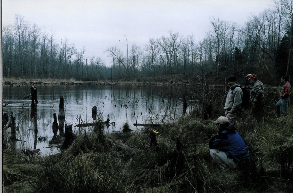
Leaping Across the Wolf River at its source: Baker's Pond
Cold dawn at Baker's Pond
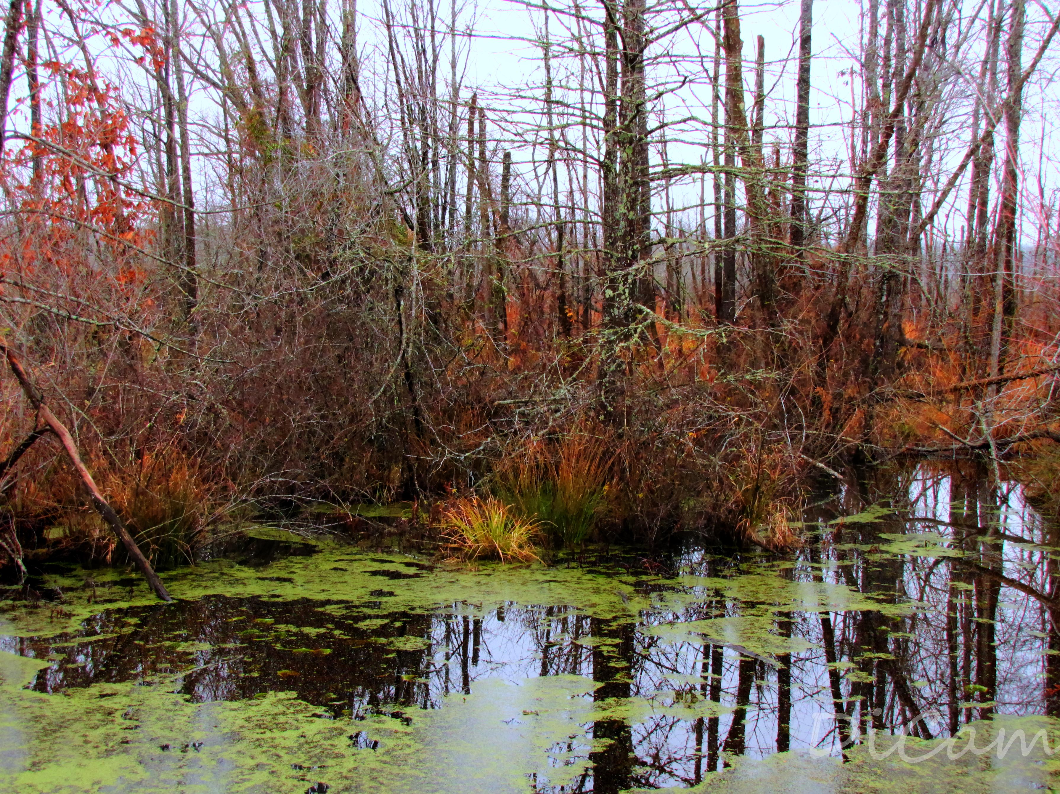
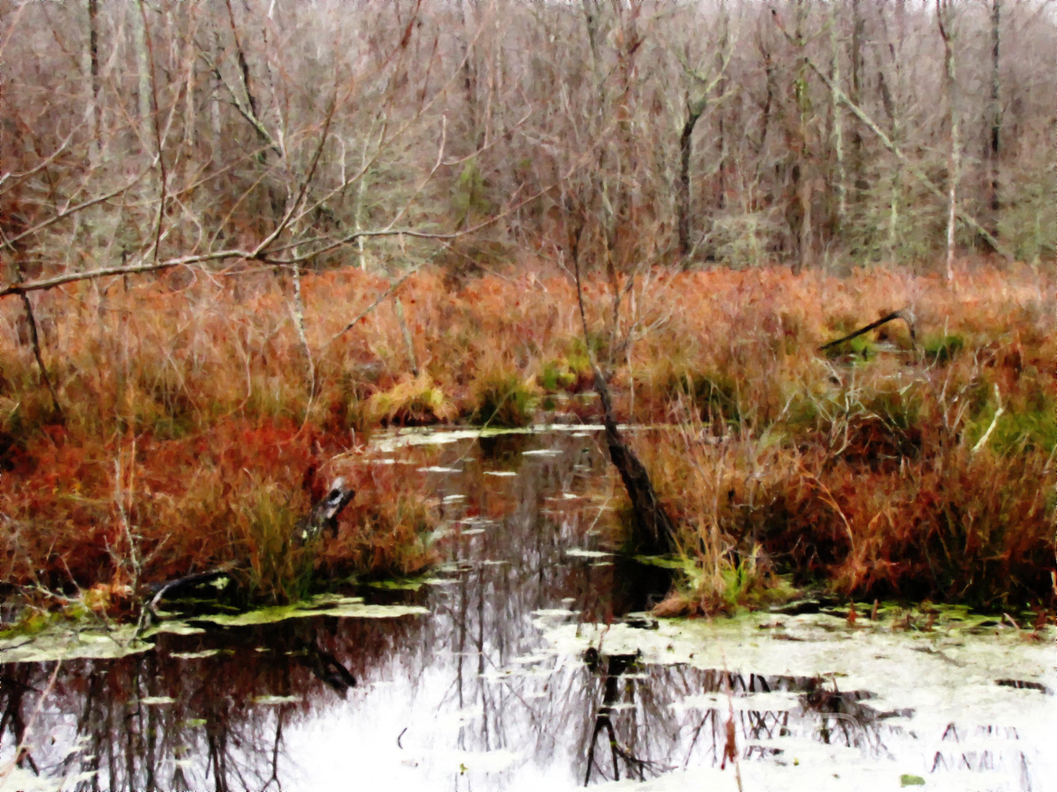
Mineral Slough

Old Barn | Rural Tennessee

Field of Cotton
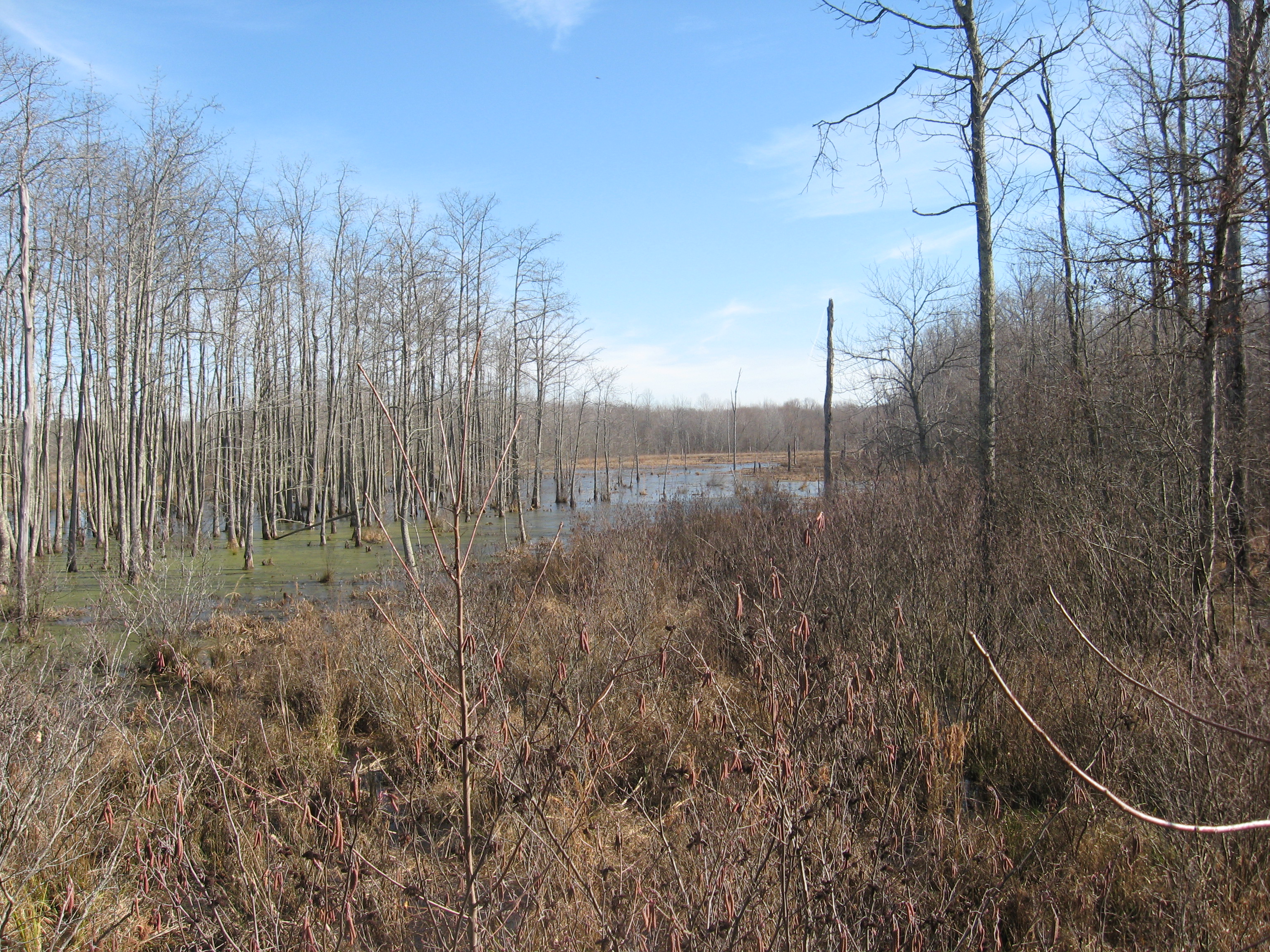
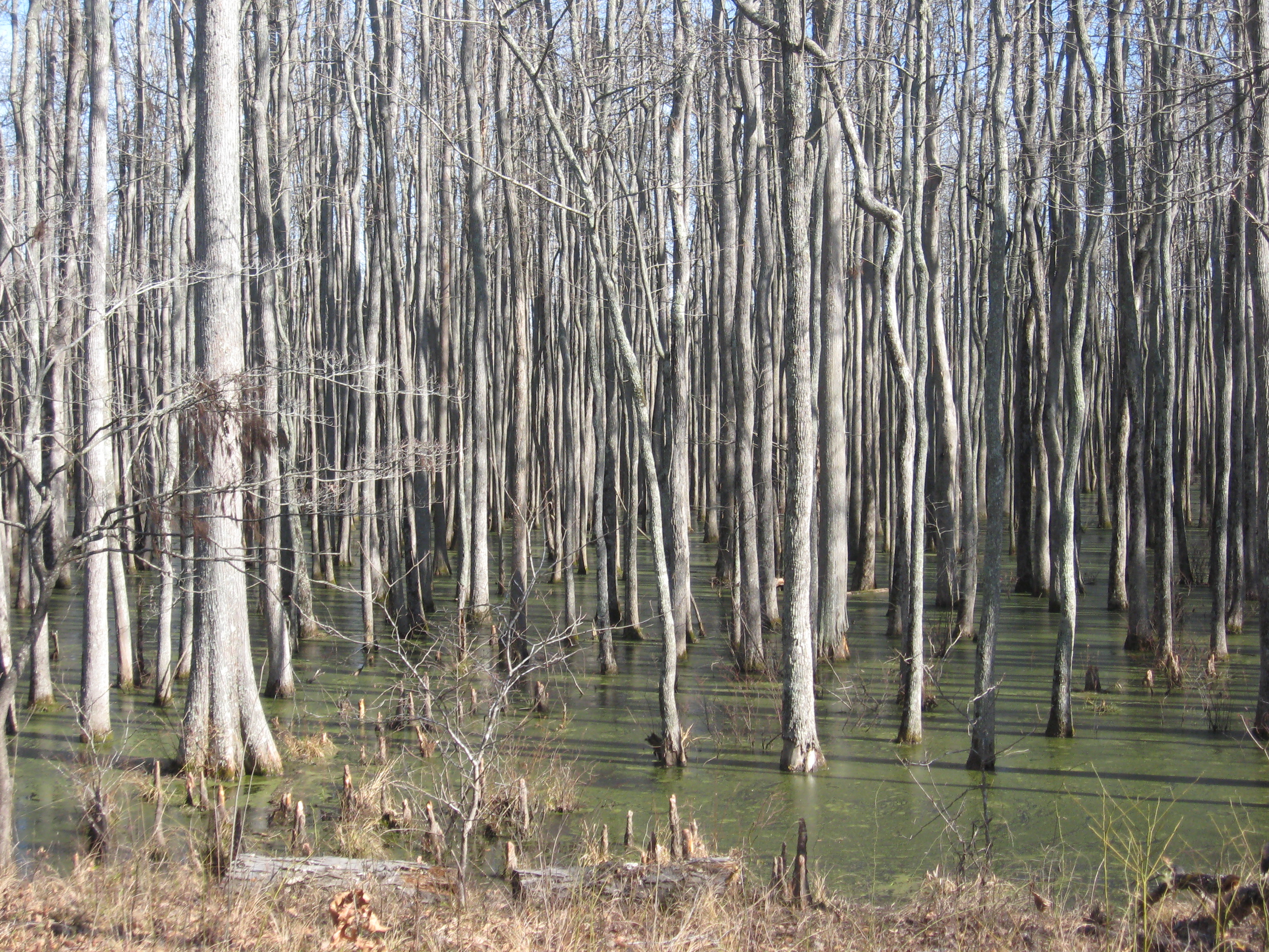
ghost river section of wolf
beasley road

beasley road
beasley road
MIneral Slough
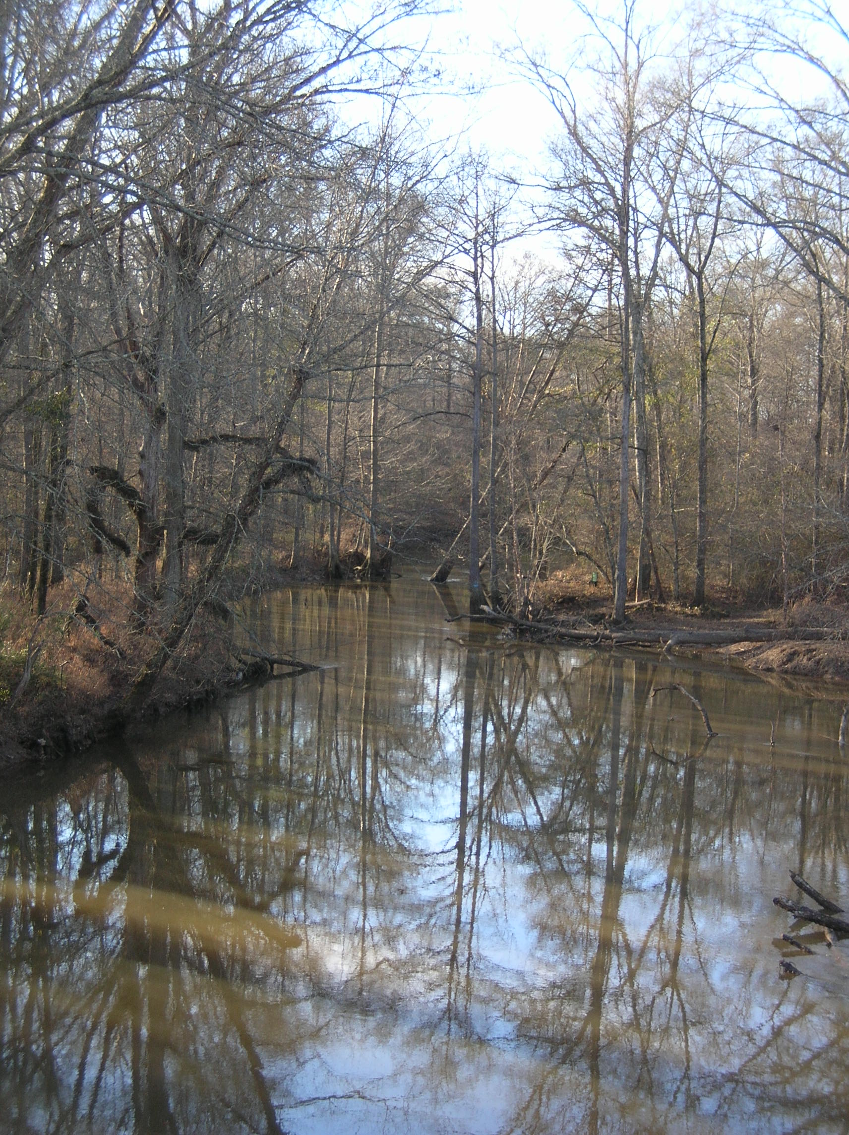
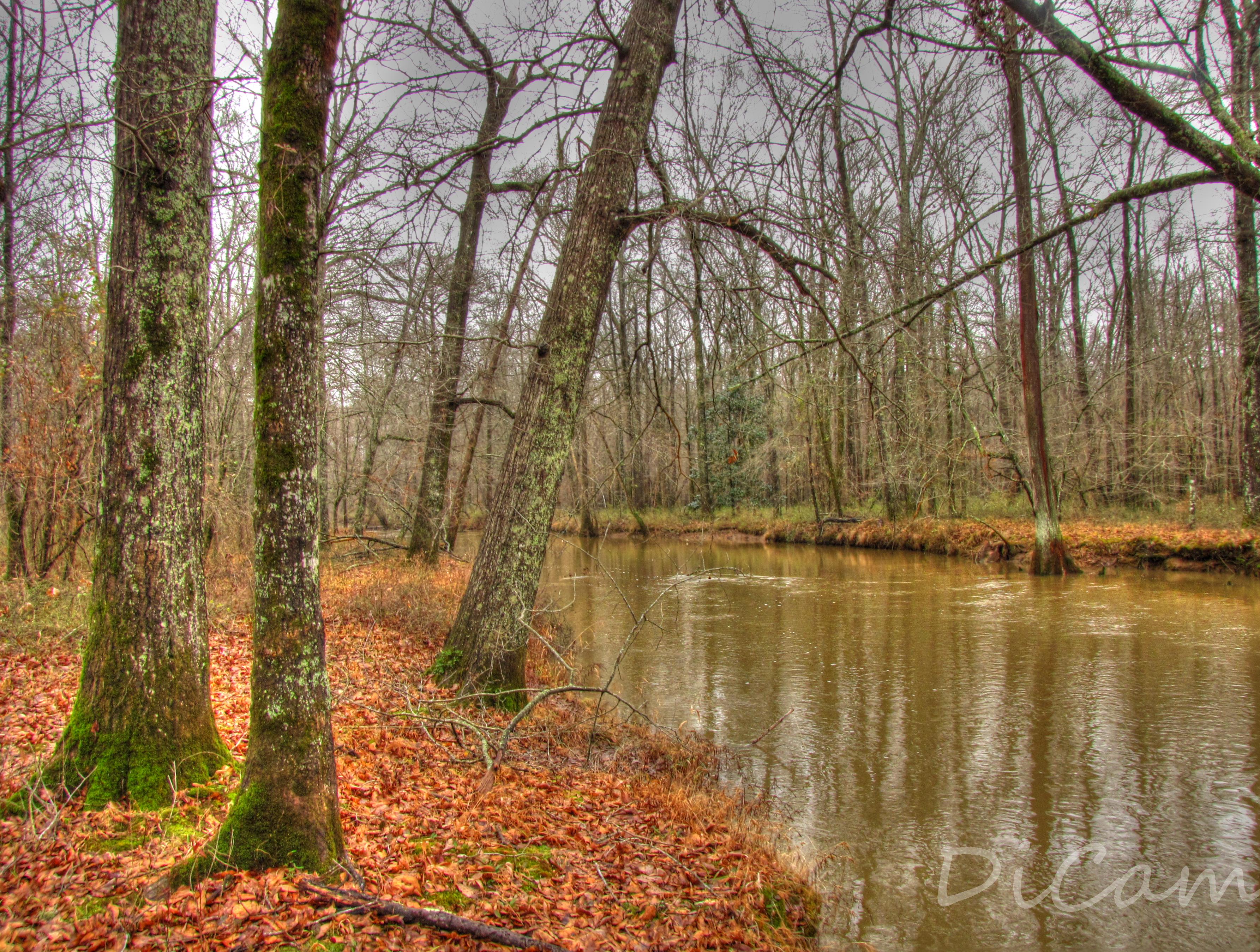
Wolf River
Topographic Map of College St, Saulsbury, TN, USA
Find elevation by address:

Places near College St, Saulsbury, TN, USA:
Saulsbury
1950 Mississippi Rd
8390 Tn-57
329 Capewood Cove
535 Harrison Ln
515 Harrison Ln
515 Harrison Ln
Van Buren Road
Hardeman County
Hickory Valley
US-72, Ashland, MS, USA
192 Fawn Dr
845 Herschel Rd
Middleton
Walnut
Tiplersville
MS-15, Tiplersville, MS, USA
2541b
Moscow, TN, USA
220 Co Rd 457
Recent Searches:
- Elevation of Côte-des-Neiges, Montreal, QC H4A 3J6, Canada
- Elevation of Bobcat Dr, Helena, MT, USA
- Elevation of Zu den Ihlowbergen, Althüttendorf, Germany
- Elevation of Badaber, Peshawar, Khyber Pakhtunkhwa, Pakistan
- Elevation of SE Heron Loop, Lincoln City, OR, USA
- Elevation of Slanický ostrov, 01 Námestovo, Slovakia
- Elevation of Spaceport America, Co Rd A, Truth or Consequences, NM, USA
- Elevation of Warwick, RI, USA
- Elevation of Fern Rd, Whitmore, CA, USA
- Elevation of 62 Abbey St, Marshfield, MA, USA