Elevation of Cole Rd, Cheyenne, WY, USA
Location: United States > Wyoming > Laramie County > Cheyenne >
Longitude: -105.07416
Latitude: 41.163687
Elevation: 1994m / 6542feet
Barometric Pressure: 80KPa
Elevation Map:
Satellite Map:
Related Photos:
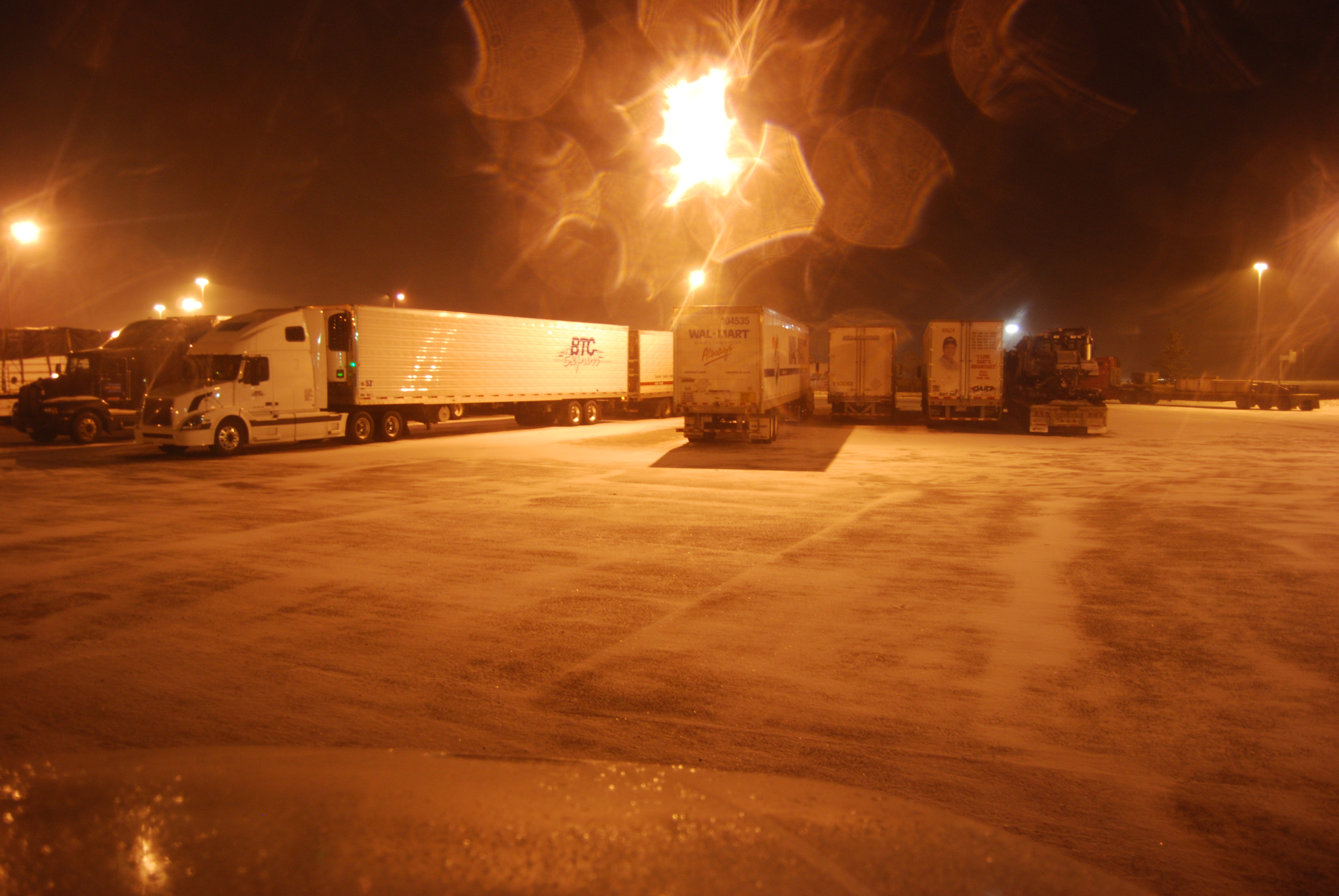
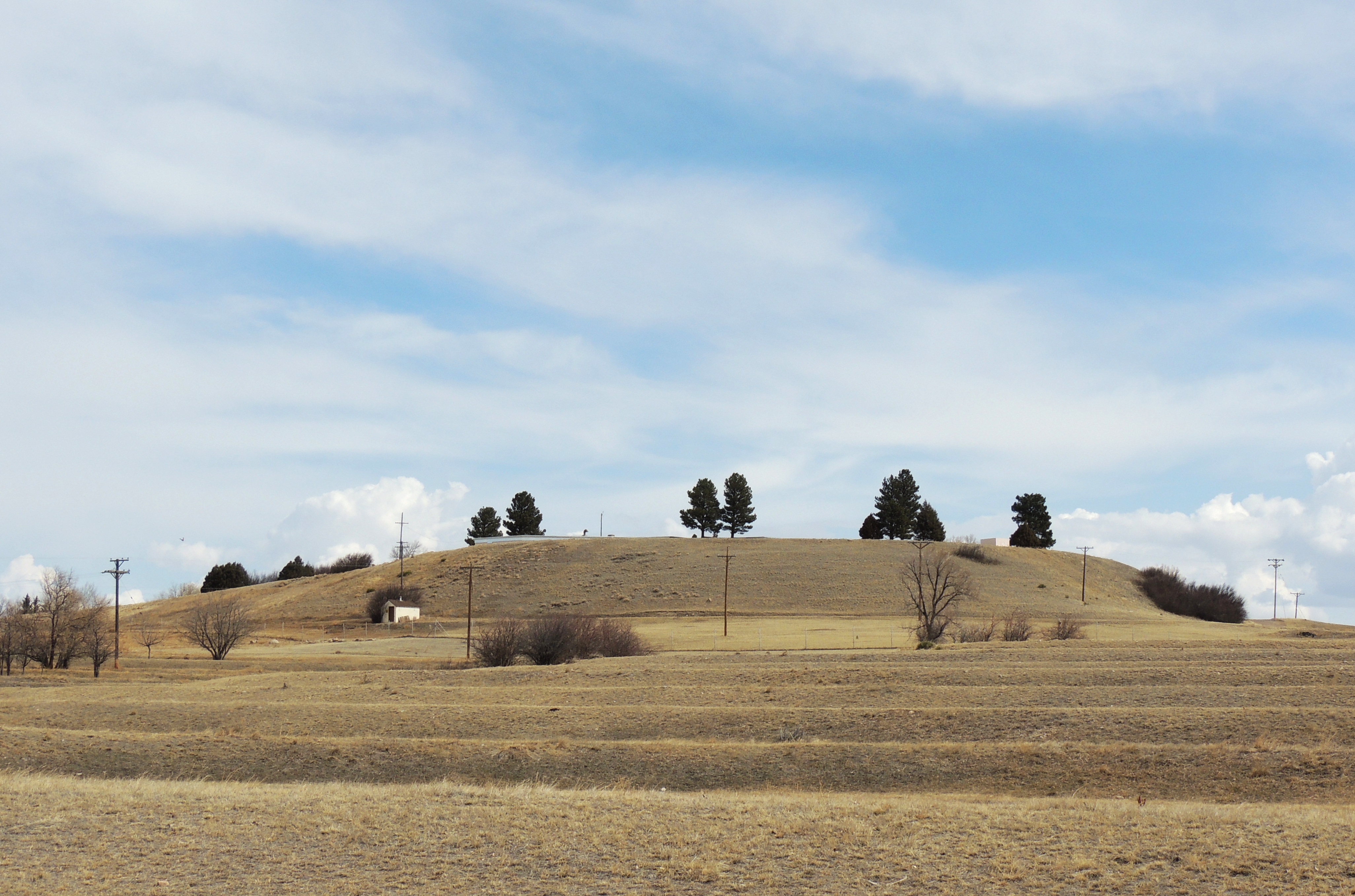
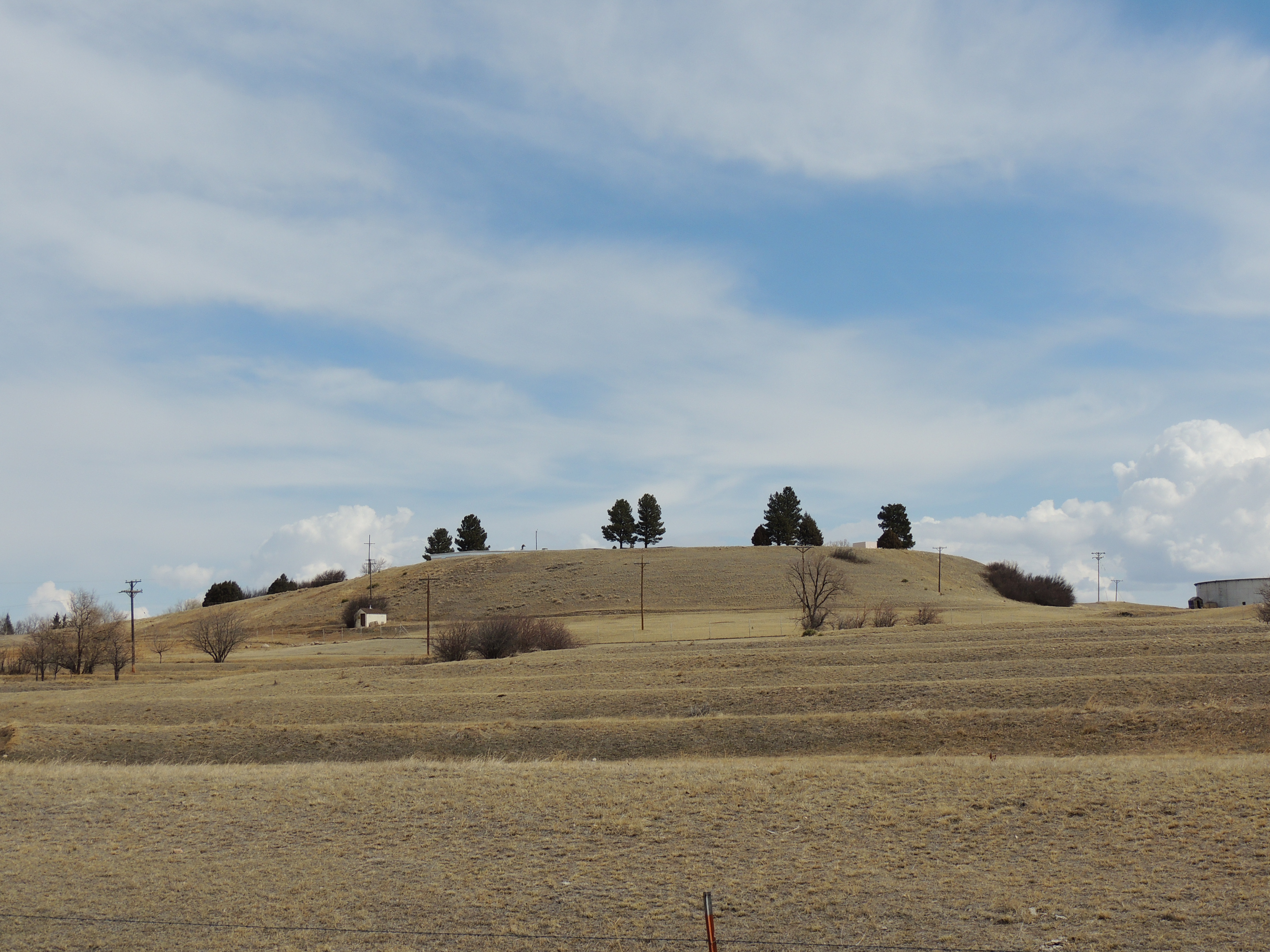
Cheyanne, WY 11-30 2
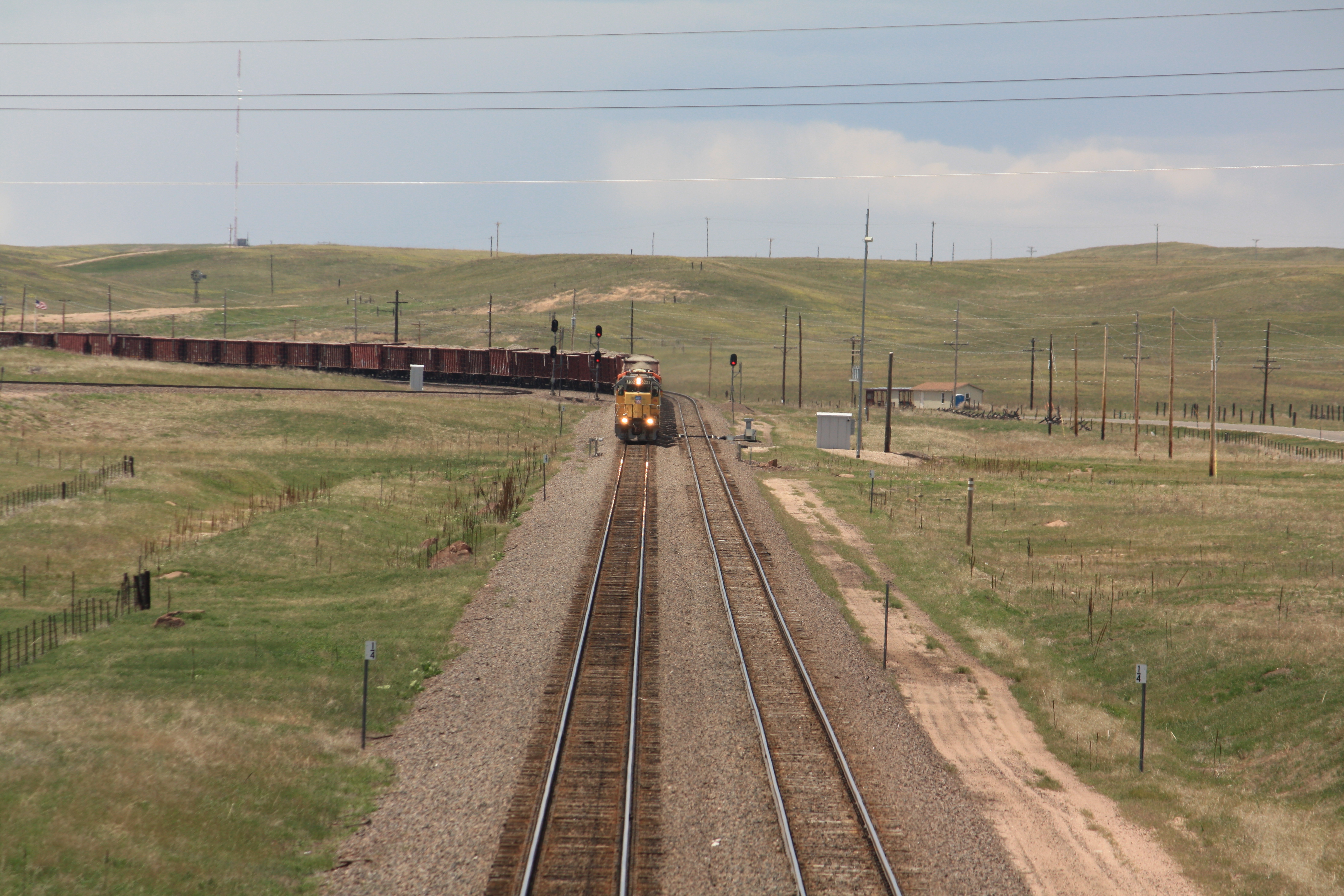
View from Borie Field bridge, Cheyenne, Wyoming
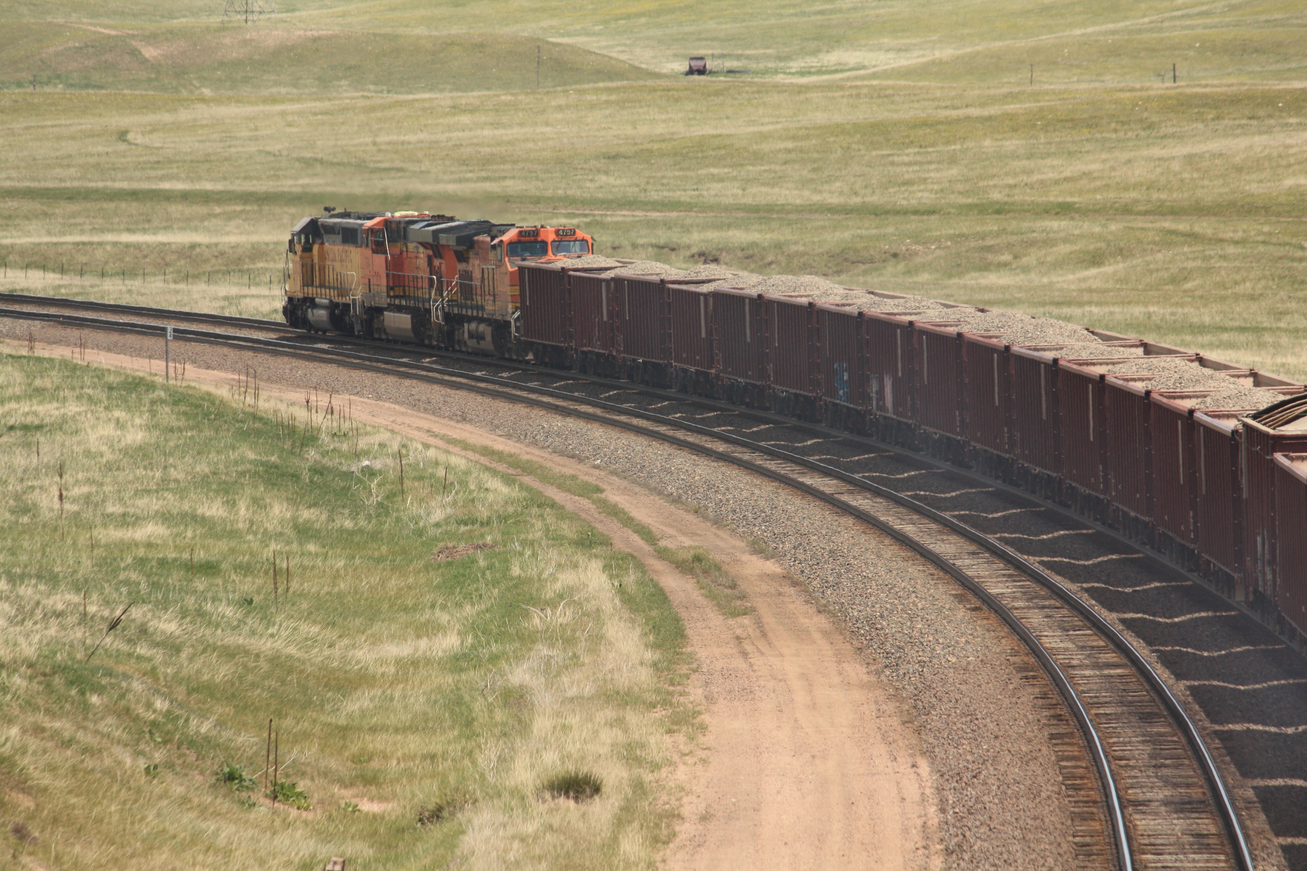
View from Borie Field bridge, Cheyenne, Wyoming
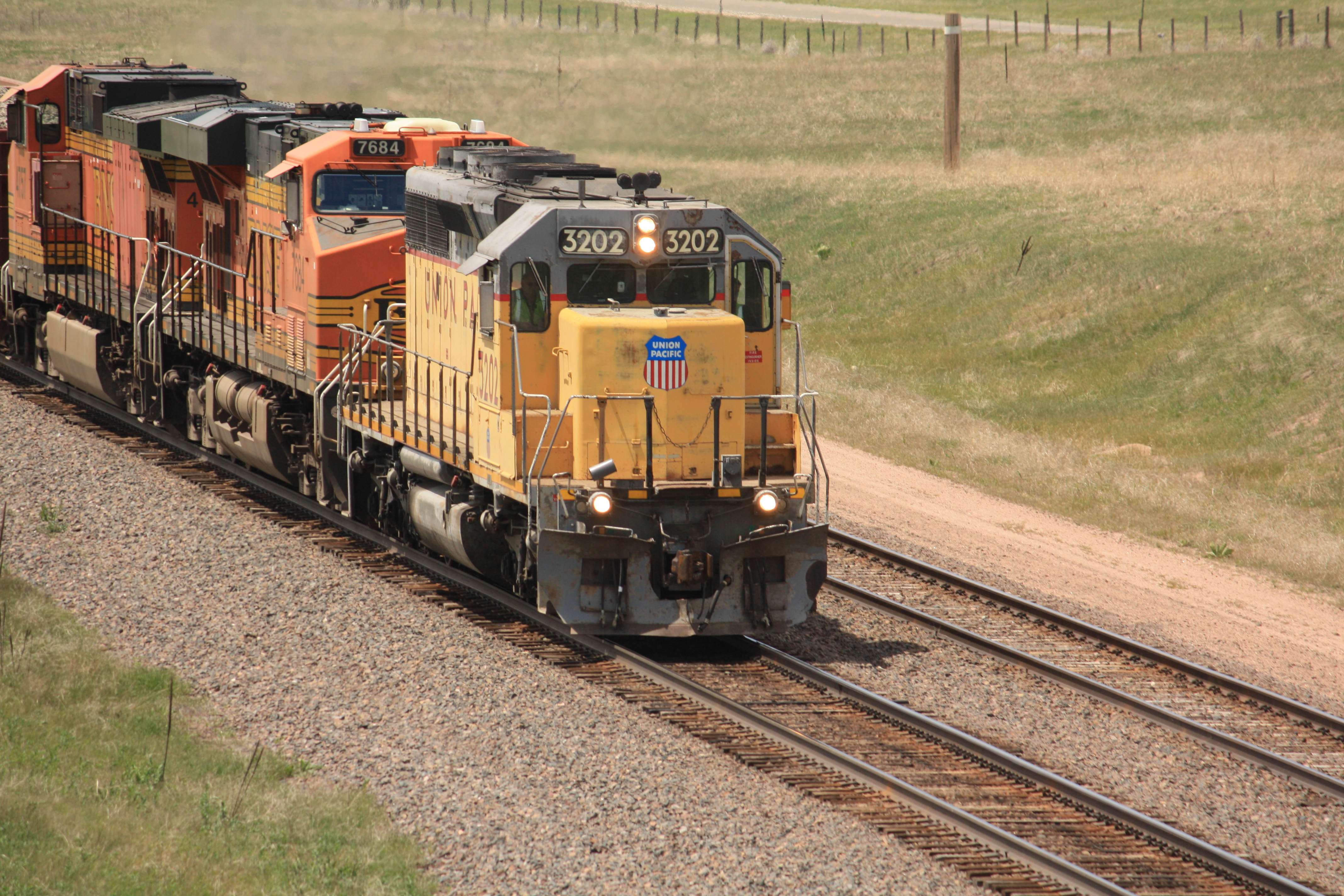
View from Borie Field bridge, Cheyenne, Wyoming
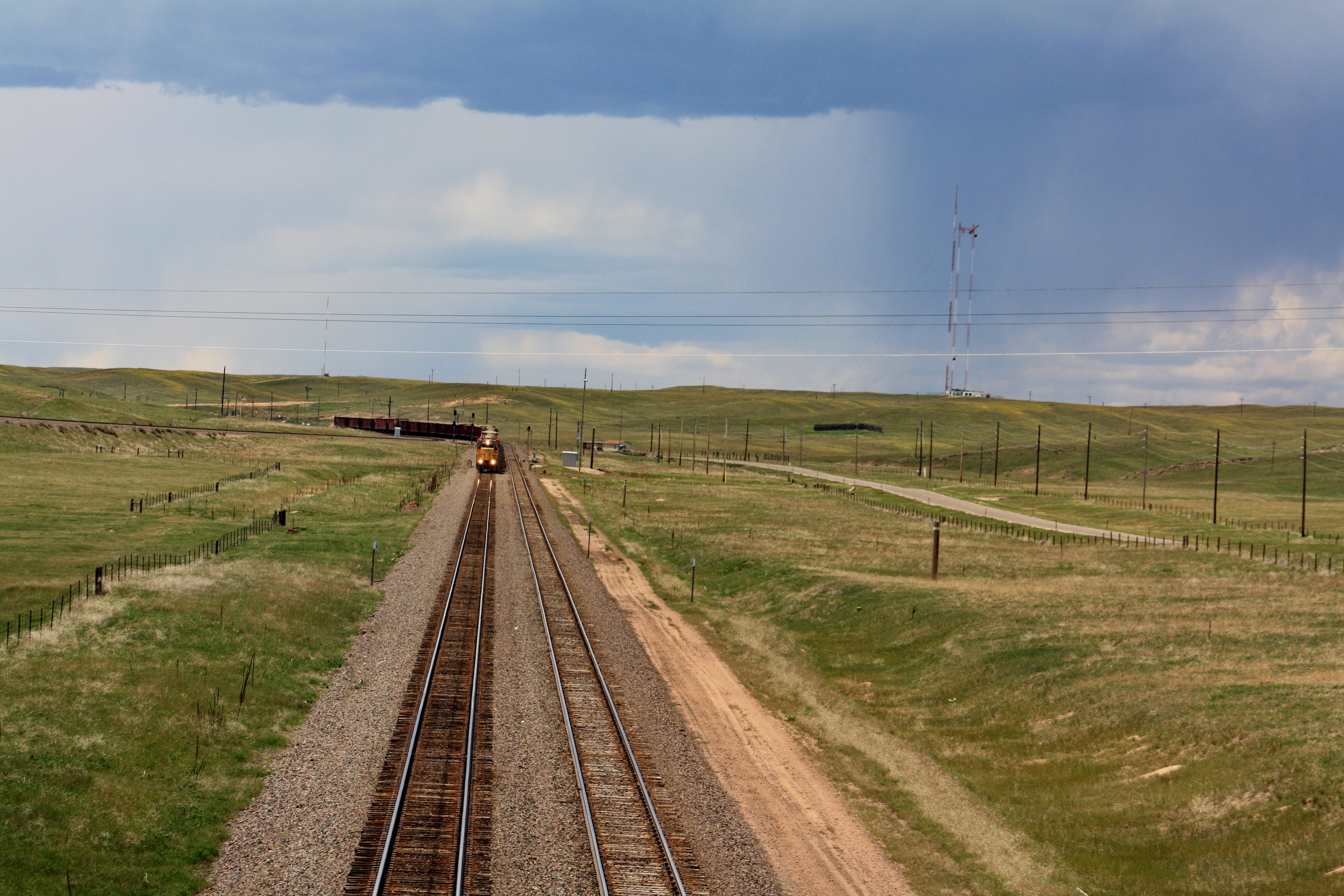
View from Borie Field bridge, Cheyenne, Wyoming
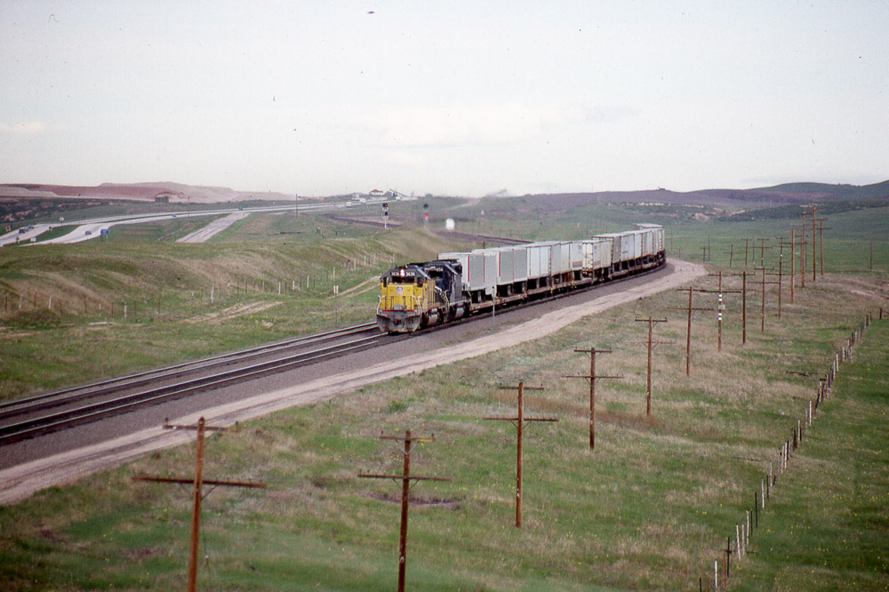
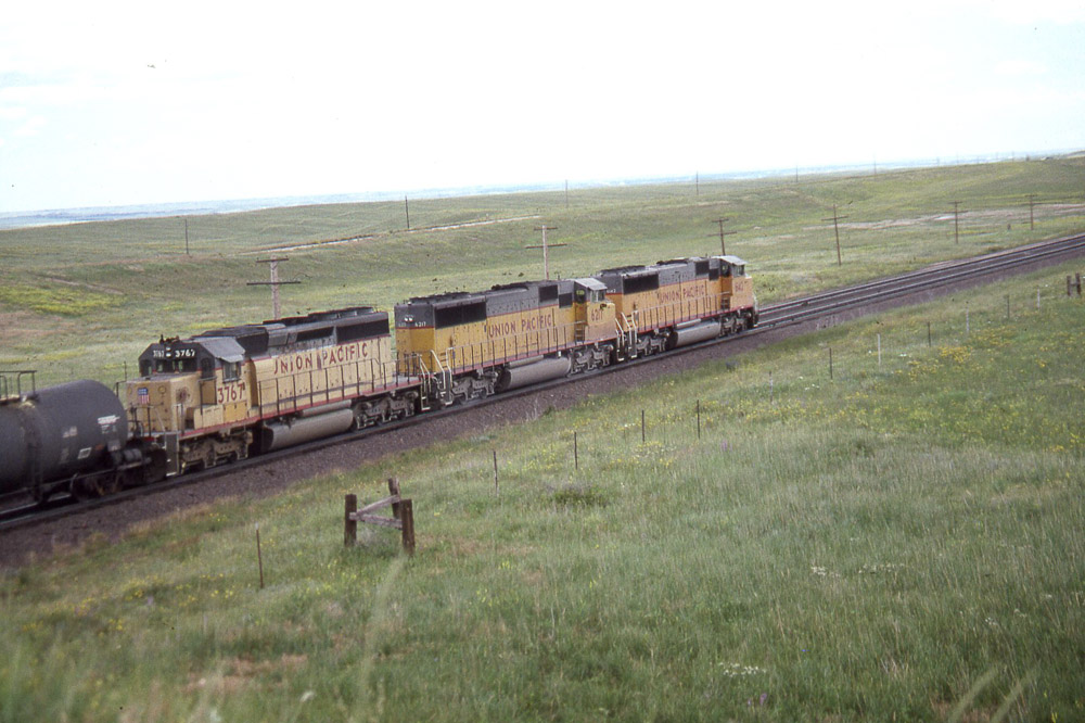
Eastbound Union Pacific SD40-2 #3636 from the US30 overpass west of Cheyenne WY on 5/29/87.
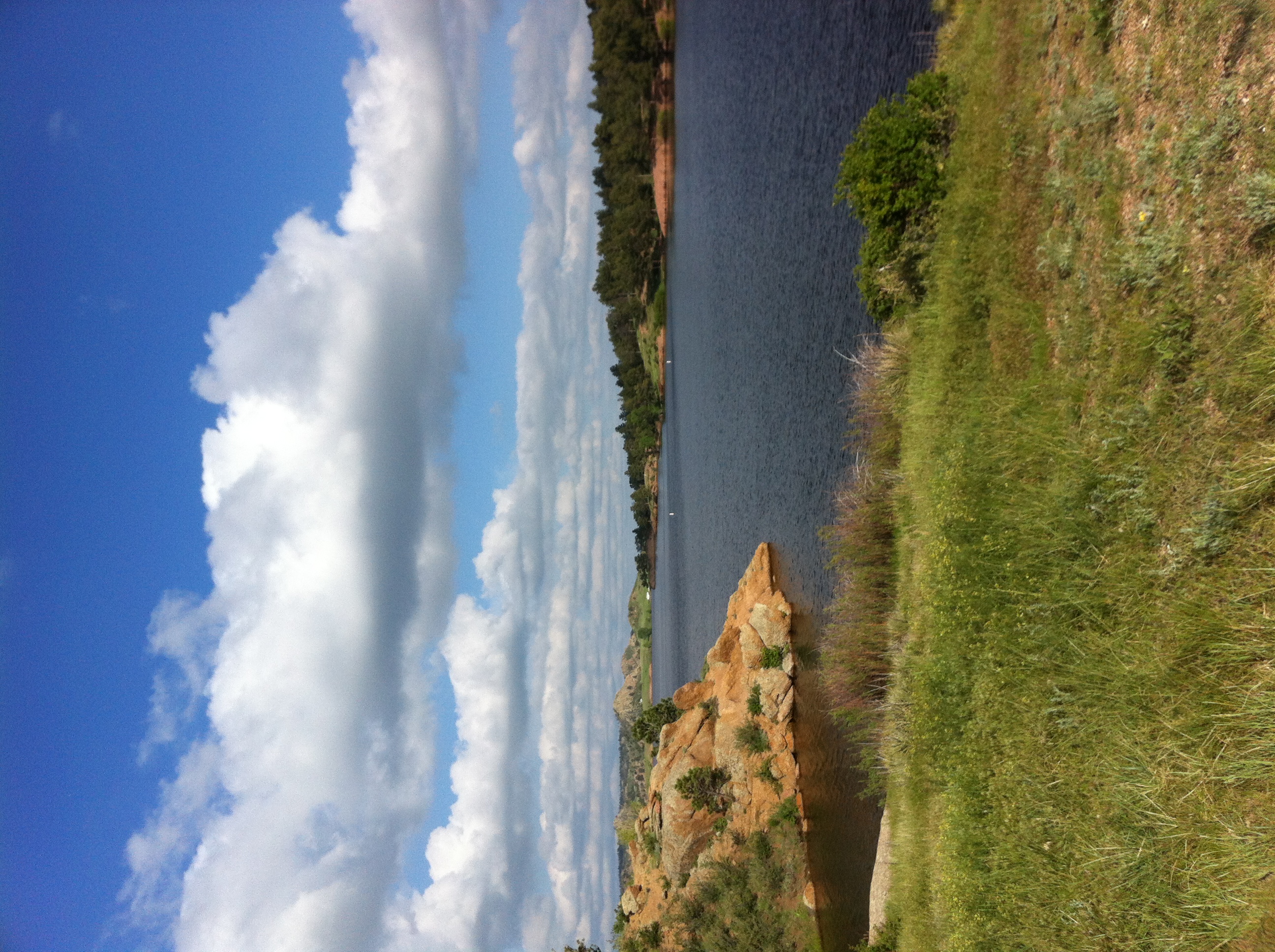
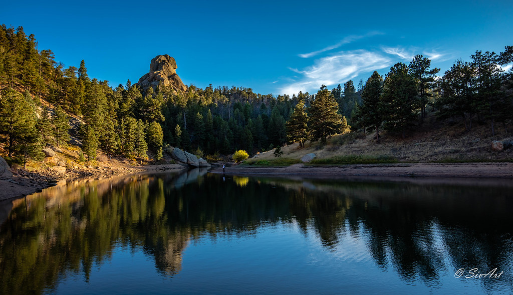
Curt Gowdy View
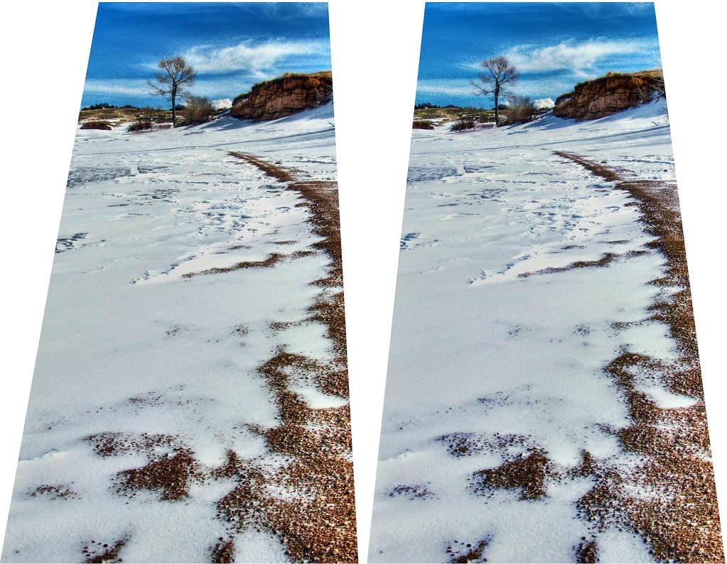
Frozen Shore
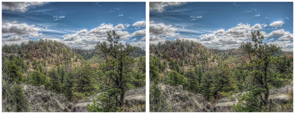
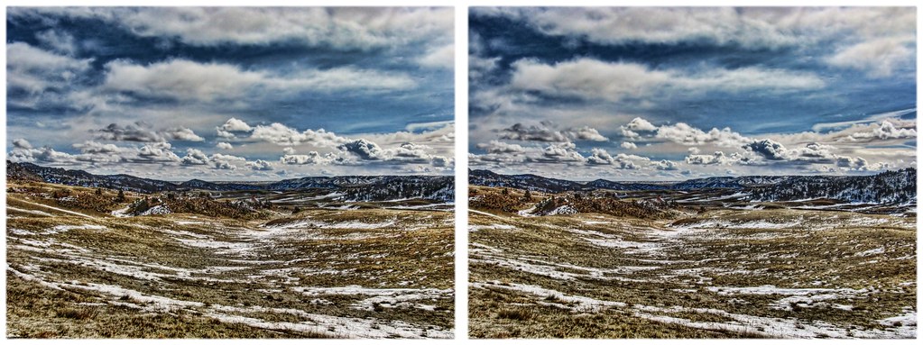
Roundtop from Southwest
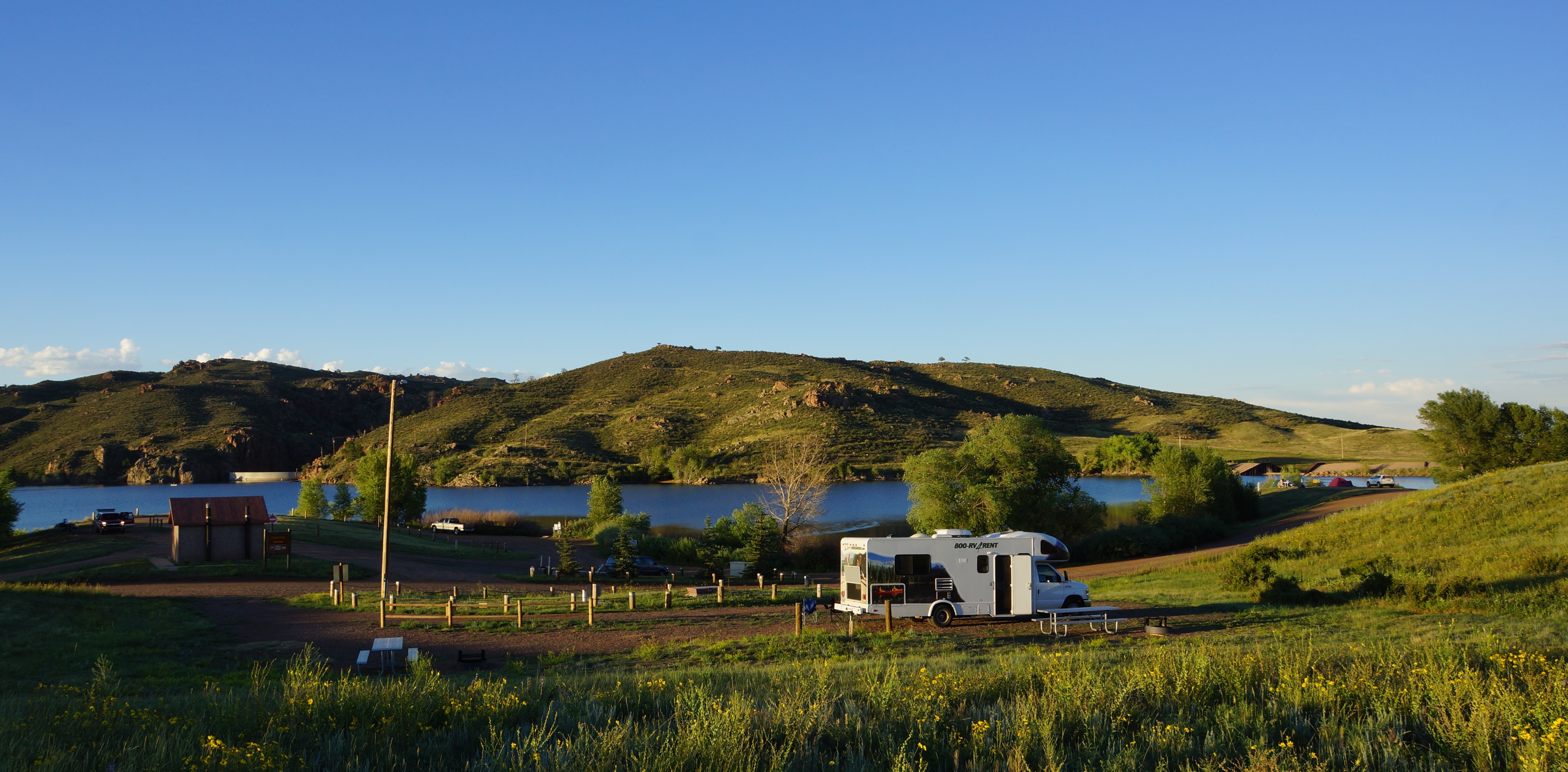
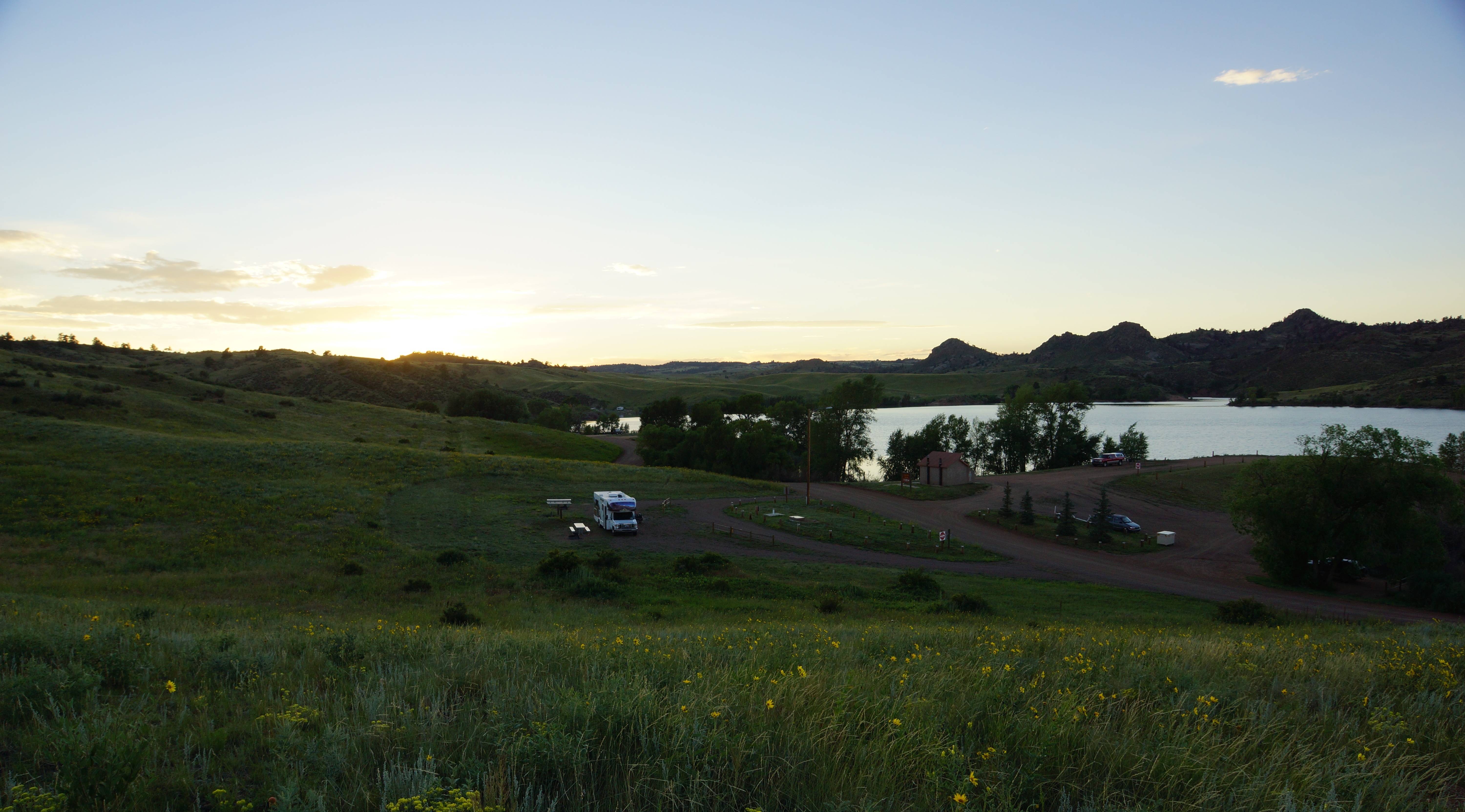
campsite view
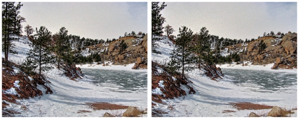
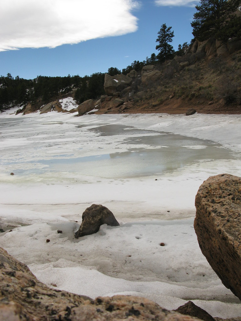
Frozen in
Curt Gowdy View
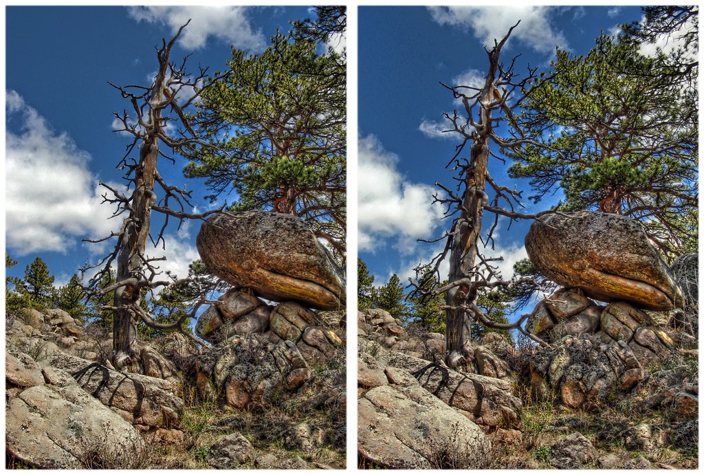
Curt Gowdy Formations 6
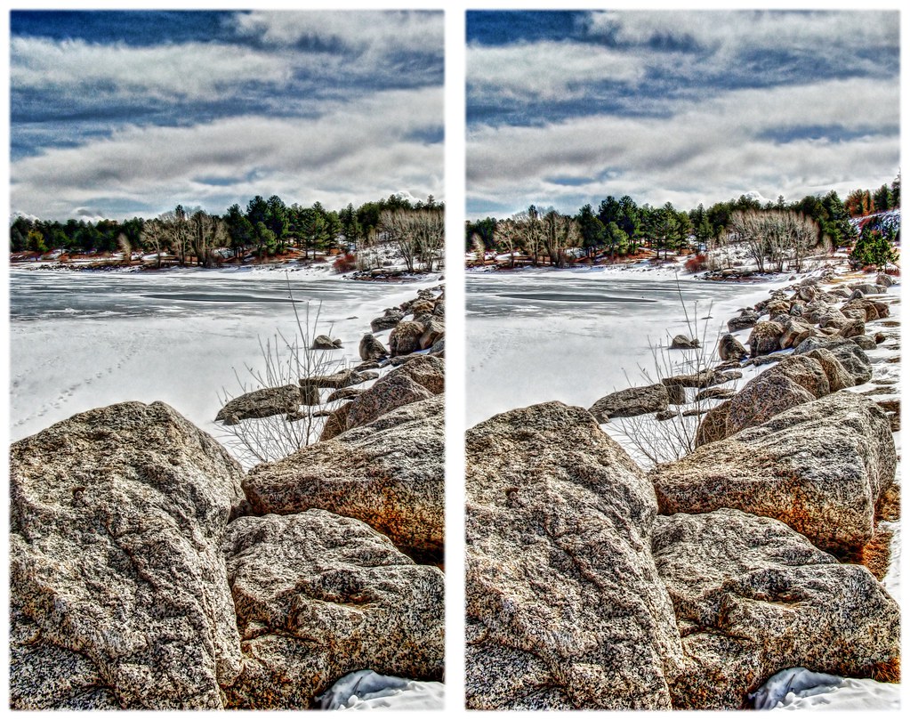
Frozen 2

Bedouin Lantern
Roundtop hill view from South
Reflection Peak
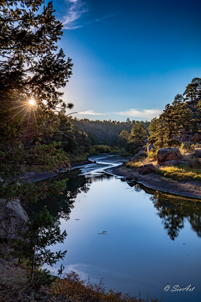
A River Runs Through It
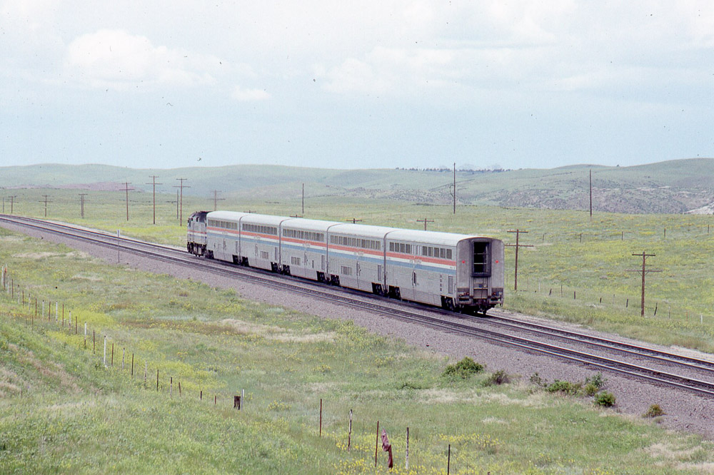
Amtrak F40PH #374 heading west leading the Pioneer under the old US30 overpass west of Cheyenne WY on 7/26/91
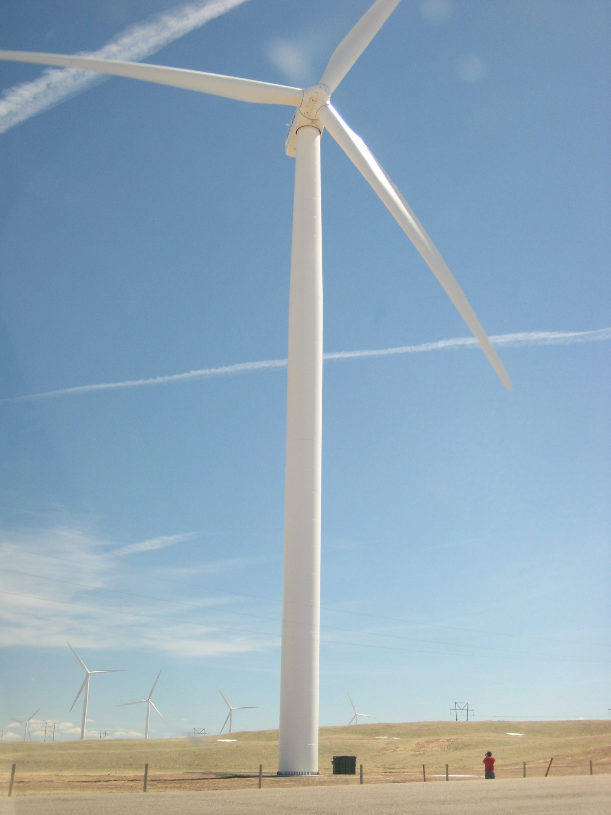
#wyo #windmills

Sunrise at Curt Goudy
Also camp.
as the ice melts
2014 - USA - 002
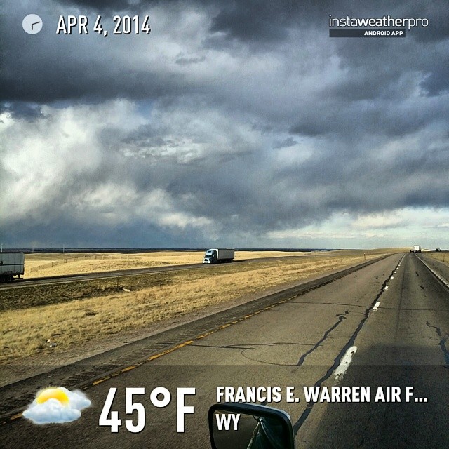
#instaweather #instaweatherpro #weather #wx #android #sky #outdoors #nature #world #love #followme #follow #beautiful #instagood #fun #cool #like #life #nice #happy #colorful #photooftheday #amazing #francise.warrenairforcebase #wy #day #winter #clouds #m
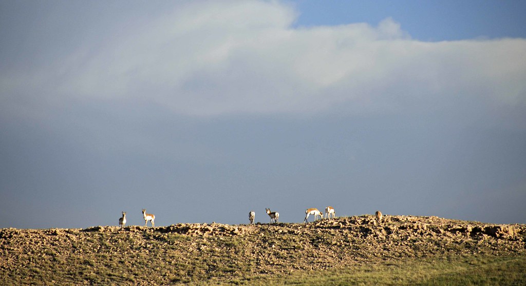
Pronghorns on the Ridge
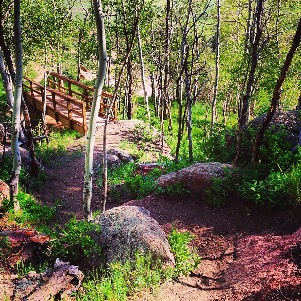
#singletrack #aspens
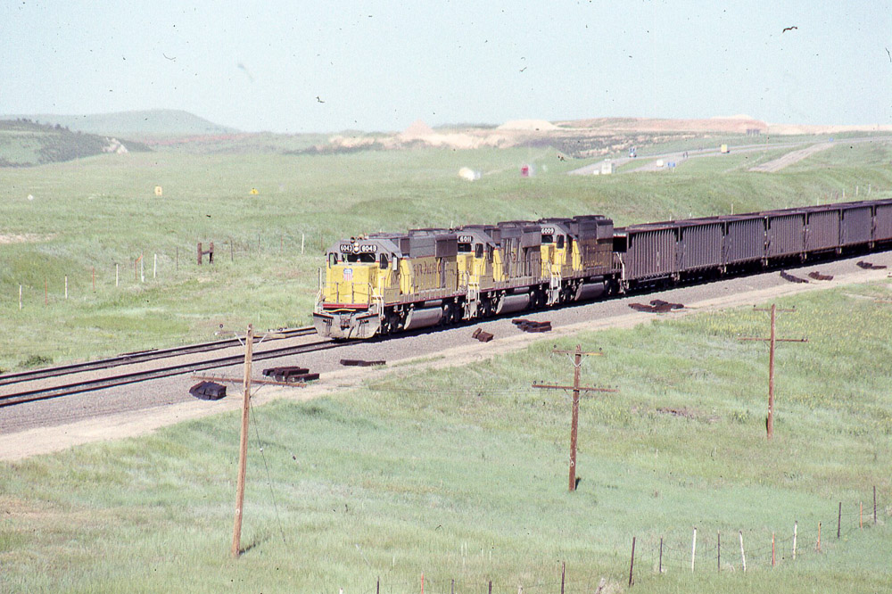
Union Pacific SD60 #6043 leads eastbound coal under the old US 30 overpass west of Cheyenne on 6/24/90.
They're big.

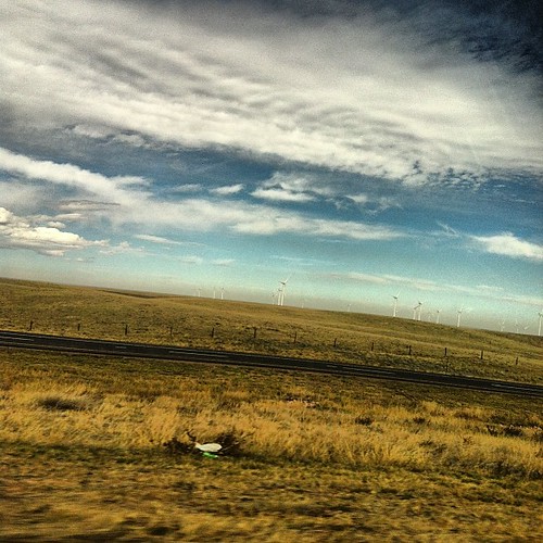
Wyoming Wind Energy
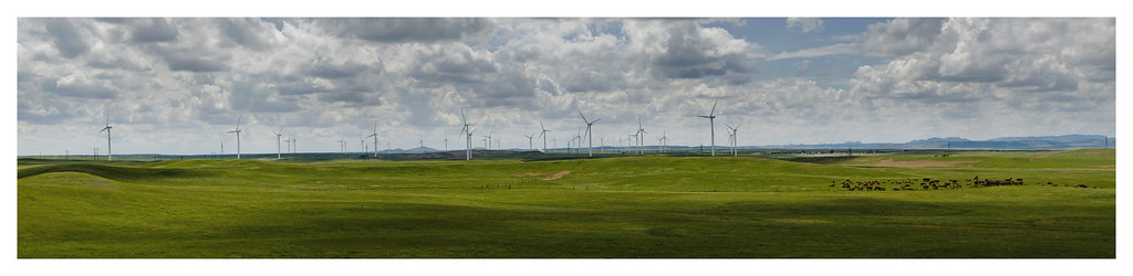
Cheyenne Wind Turbines

Roundtop from Southwest
Roundtop from thre Southwest
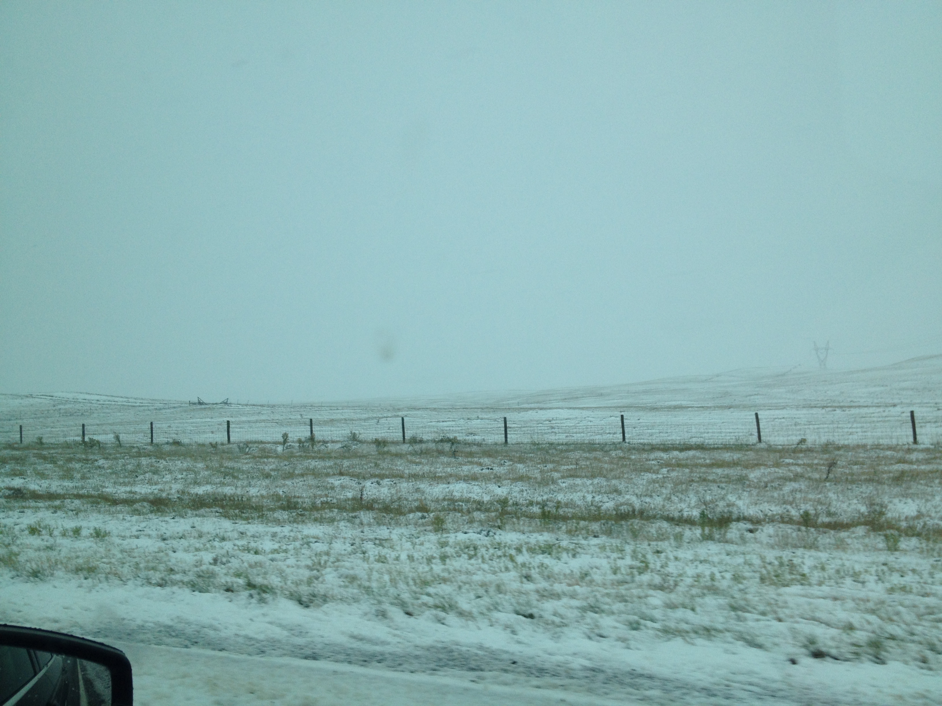
Photo Oct 04, 7 38 18 AM

Curt Gowdy
2014 - USA - 004
Union Pacific SD60M #6142 leads an eastbound under the US30 overpass between Cheyenne & Laramie WY on 7/26/91
Topographic Map of Cole Rd, Cheyenne, WY, USA
Find elevation by address:

Places near Cole Rd, Cheyenne, WY, USA:
1234 Cole Rd
1709 Shadow Valley Rd
1519 Fire Rock Dr
1942 Horse Creek Rd
1850 Horse Creek Rd
1942 Horse Creek Rd
1937 Federer Rd
5600 Thunder Ridge Rd
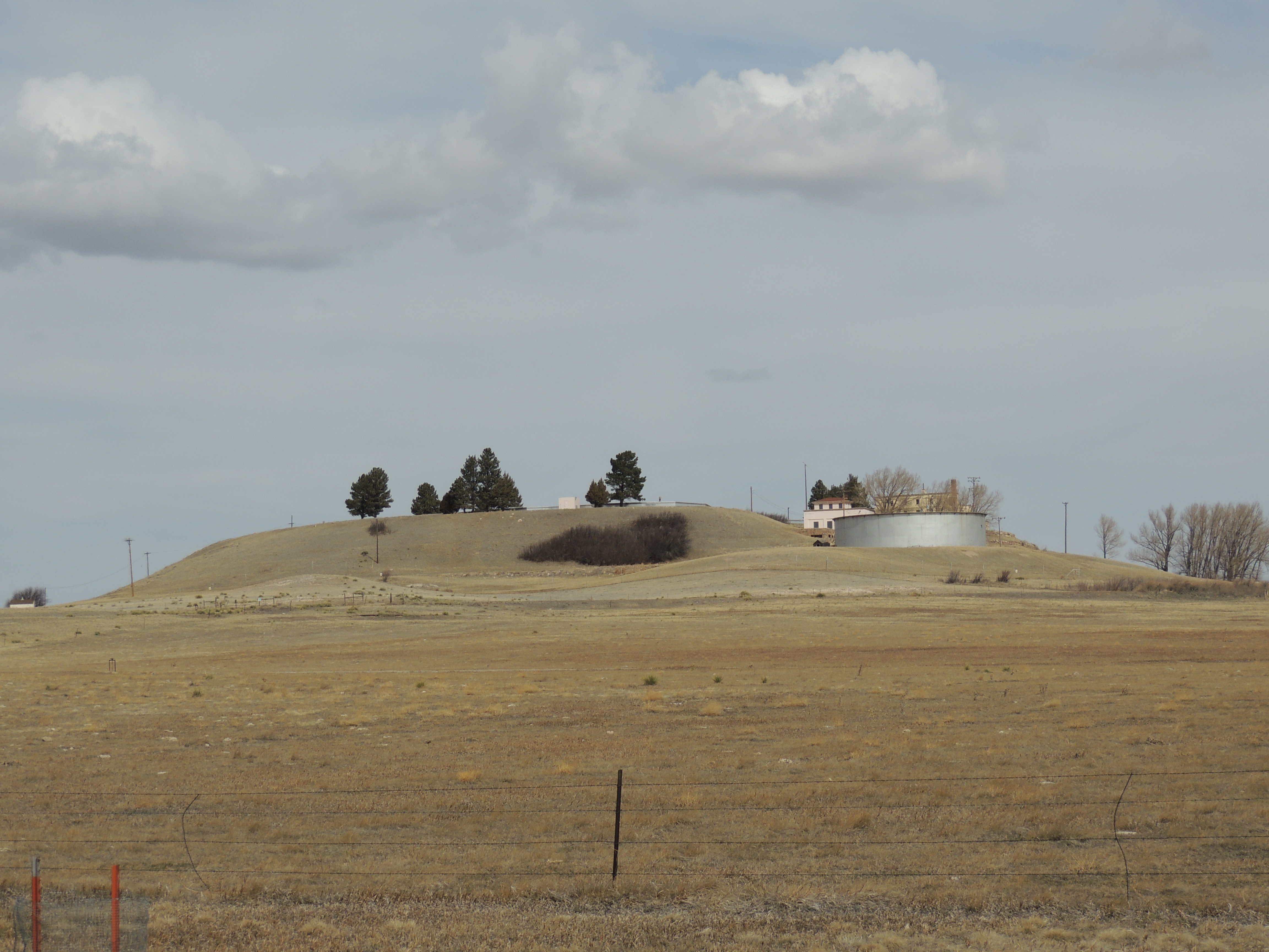
Warren Air Force Base
3805 Horse Creek Rd
5104 15th Cavalry Ave
Central High School
1016 W 28th St
3715 Snyder Ave
Ridley Road
316 W Idaho St
822 W 23rd St
Cheyenne
Francis E. Warren AFB, WY, USA
401 W 19th St
Recent Searches:
- Elevation of Co Rd 87, Jamestown, CO, USA
- Elevation of Tenjo, Cundinamarca, Colombia
- Elevation of Côte-des-Neiges, Montreal, QC H4A 3J6, Canada
- Elevation of Bobcat Dr, Helena, MT, USA
- Elevation of Zu den Ihlowbergen, Althüttendorf, Germany
- Elevation of Badaber, Peshawar, Khyber Pakhtunkhwa, Pakistan
- Elevation of SE Heron Loop, Lincoln City, OR, USA
- Elevation of Slanický ostrov, 01 Námestovo, Slovakia
- Elevation of Spaceport America, Co Rd A, Truth or Consequences, NM, USA
- Elevation of Warwick, RI, USA