Elevation of Cole Bend Rd, Columbia, TN, USA
Location: United States > Tennessee > Maury County > Columbia >
Longitude: -86.838568
Latitude: 35.604477
Elevation: 197m / 646feet
Barometric Pressure: 99KPa
Elevation Map:
Satellite Map:
Related Photos:

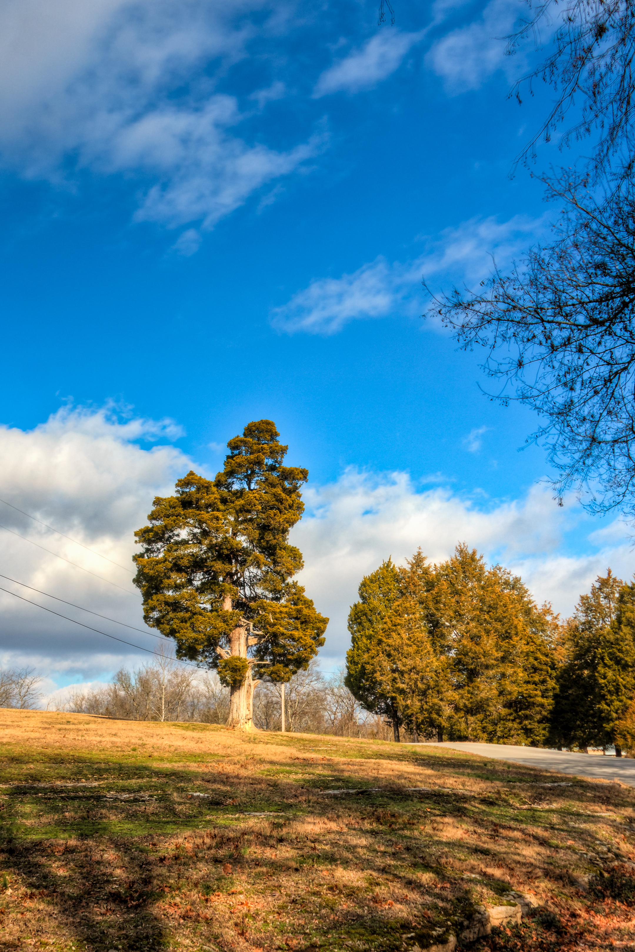
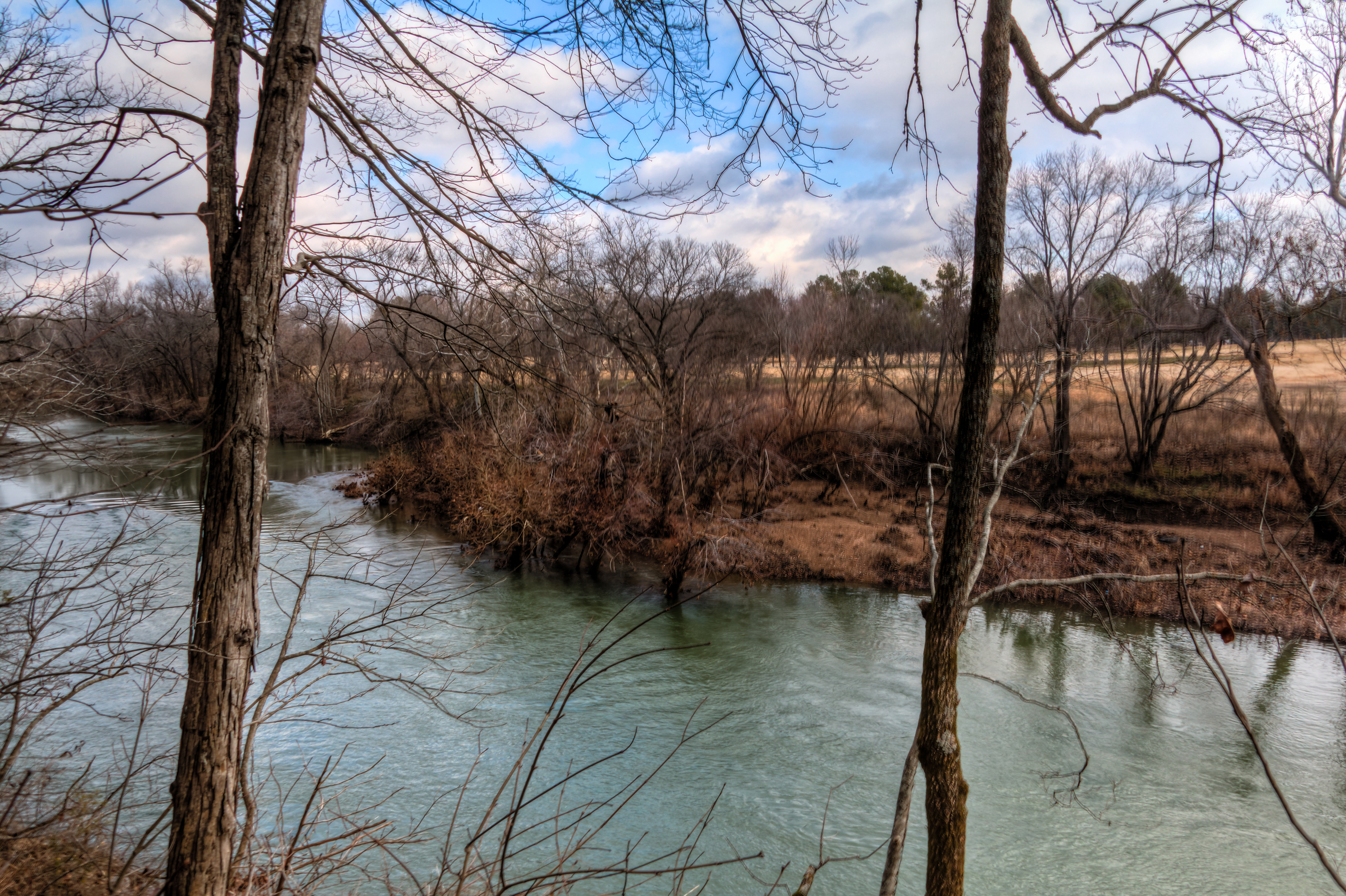
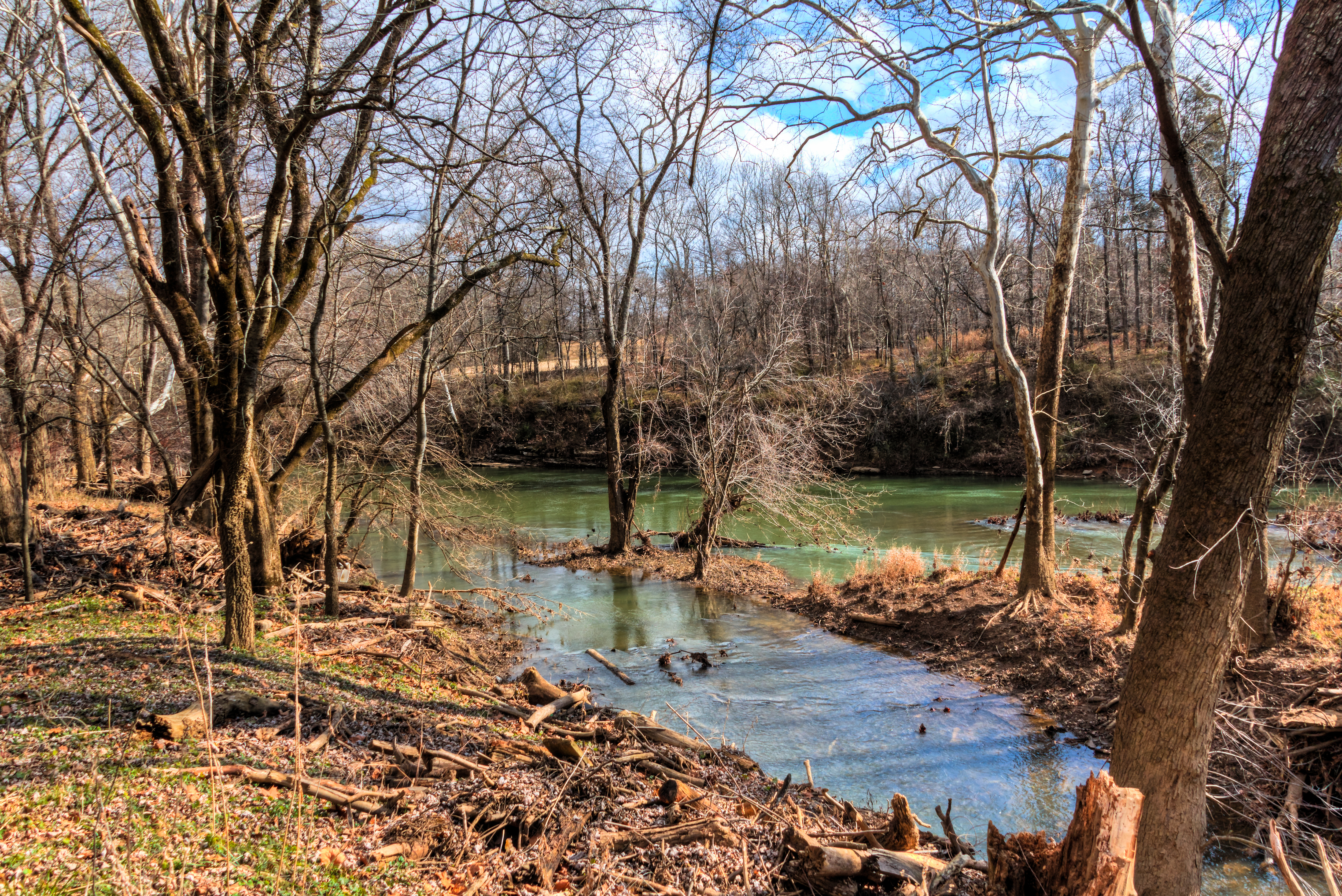
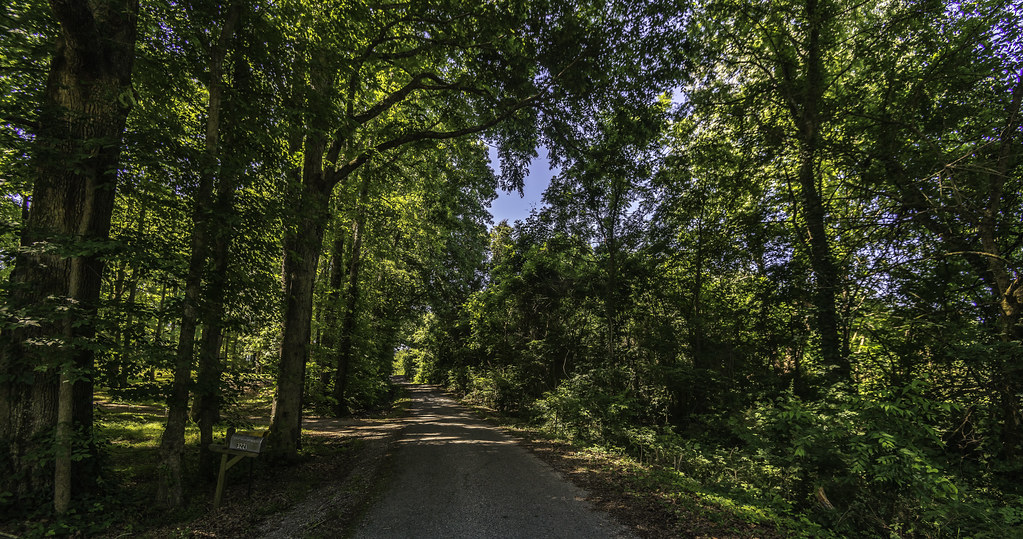
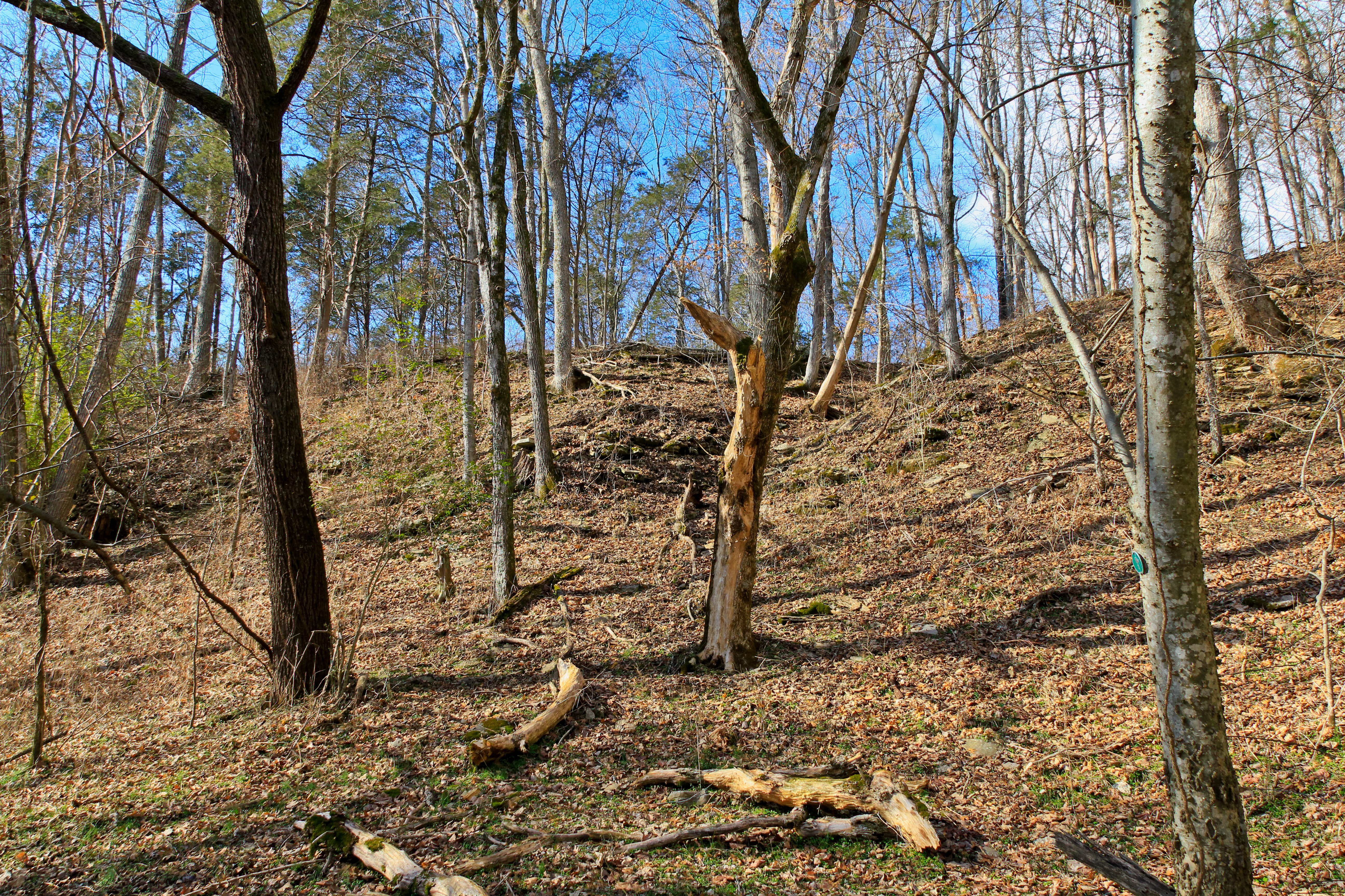
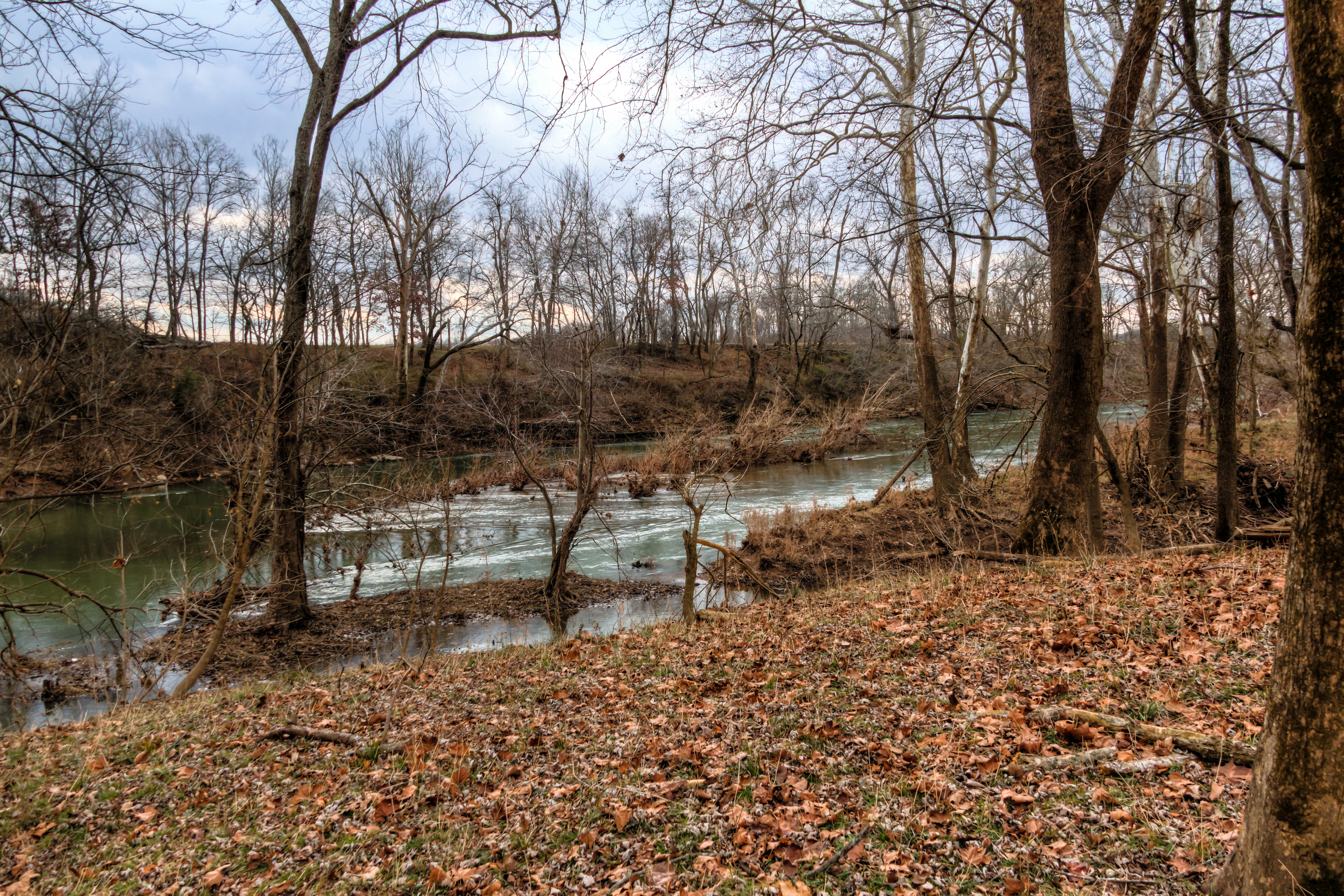
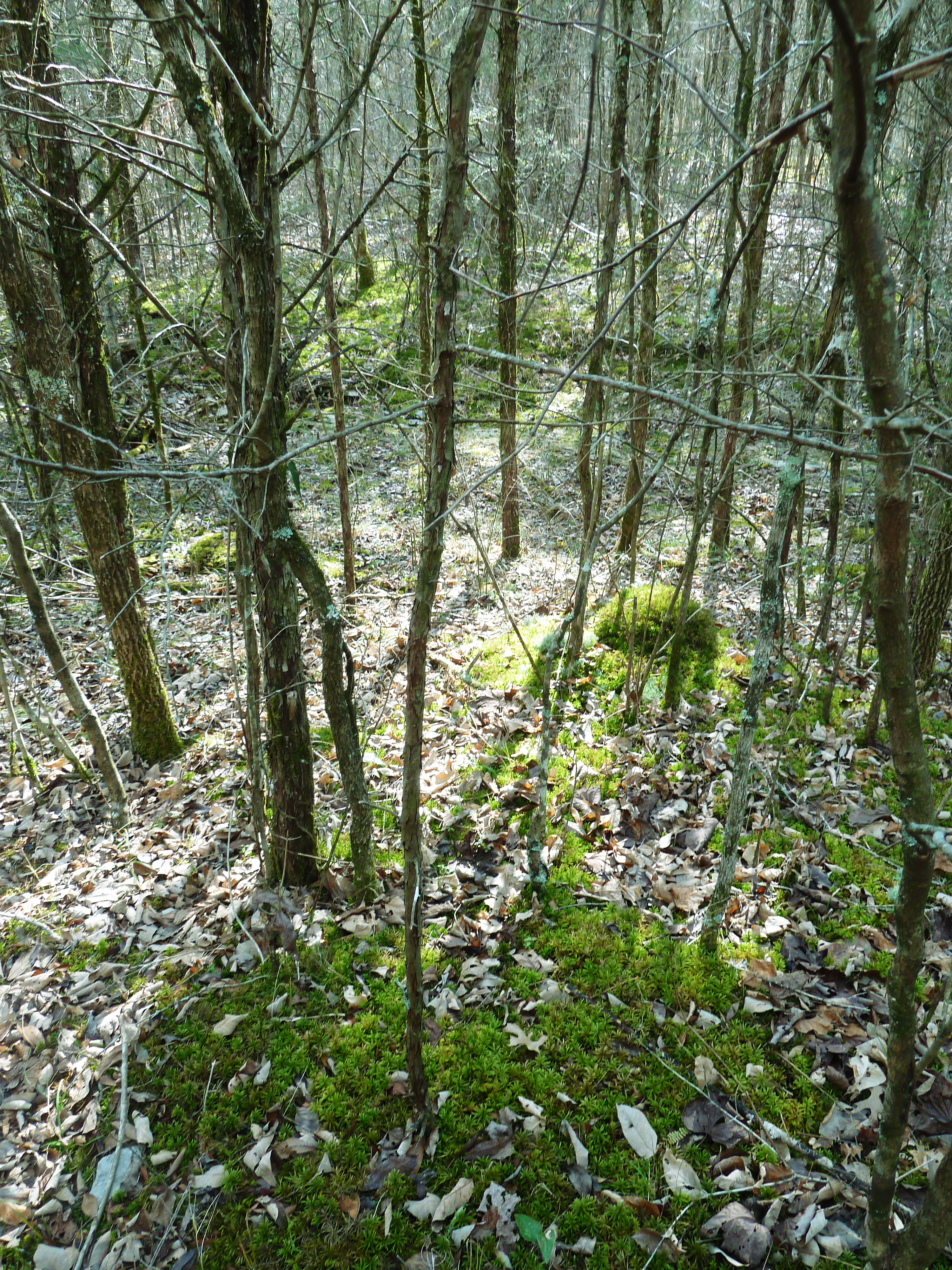
Cheeks Bend Bluff View Trail

Cheeks Bend Bluff View Trail

Cheeks Bend Bluff View Trail

Cheeks Bend Bluff View Trail

Cheeks Bend Bluff View Trail

Cheeks Bend Bluff View Trail

Cheeks Bend Bluff View Trail

Cheeks Bend Bluff View Trail

17 Coyote full view

Cheeks Bend Bluff View Trail

Cheeks Bend Bluff View Trail

Cheeks Bend Bluff View Trail

Cheeks Bend Bluff View Trail

Cheeks Bend Bluff View Trail

Cheeks Bend Bluff View Trail

Cheeks Bend Bluff View Trail

Cheeks Bend Bluff View Trail
Henry Horton
Henry Horton
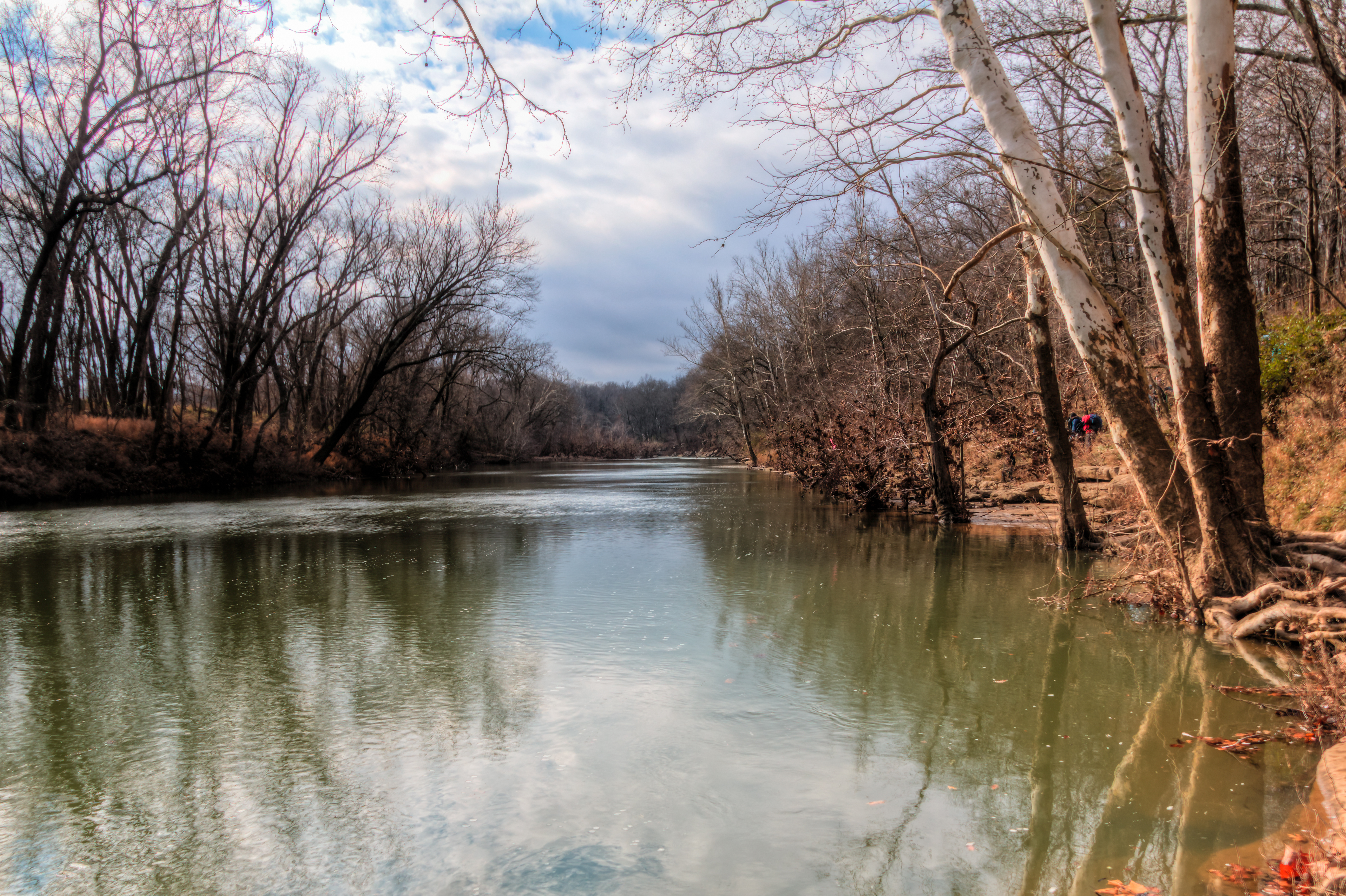
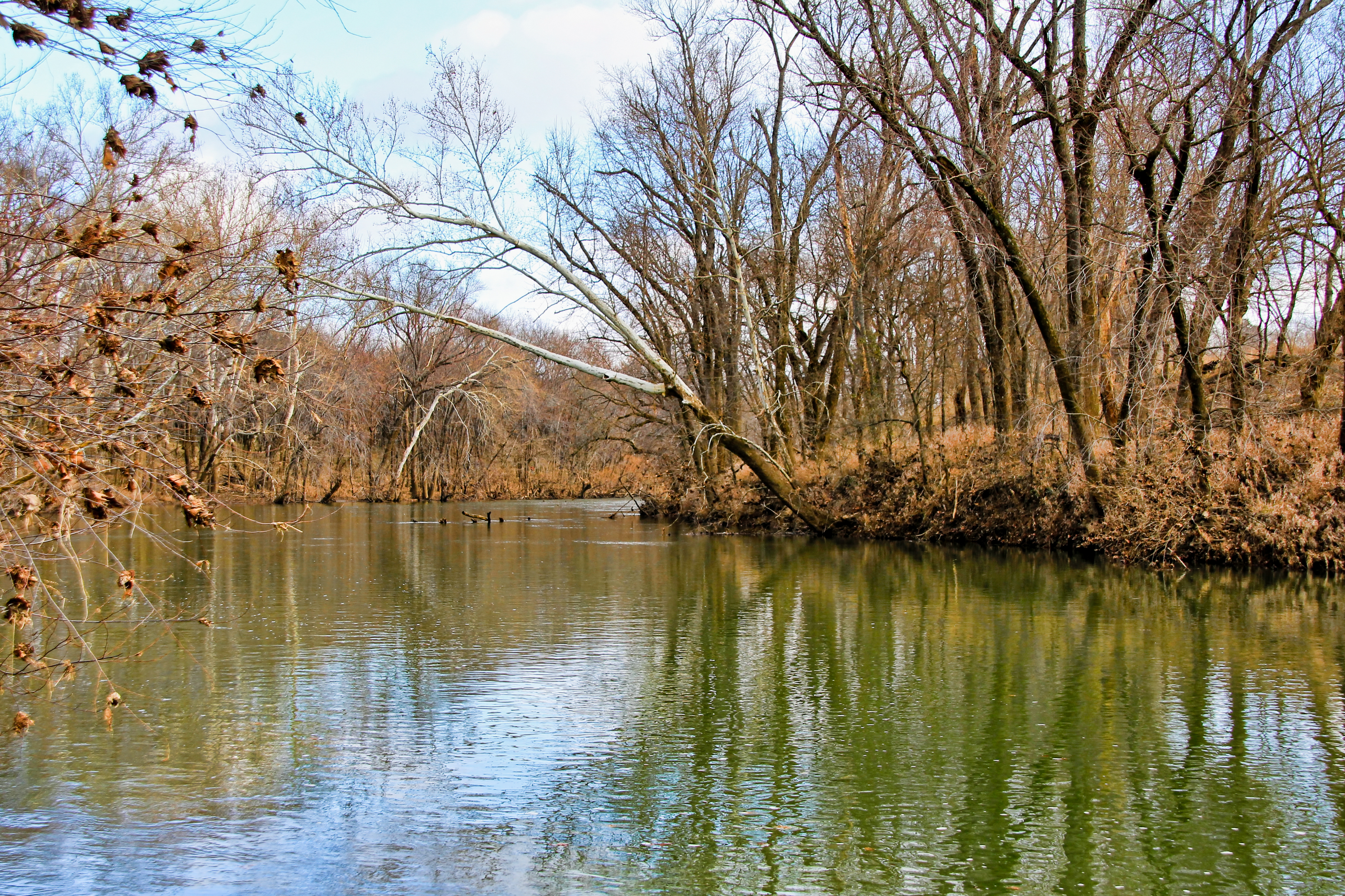
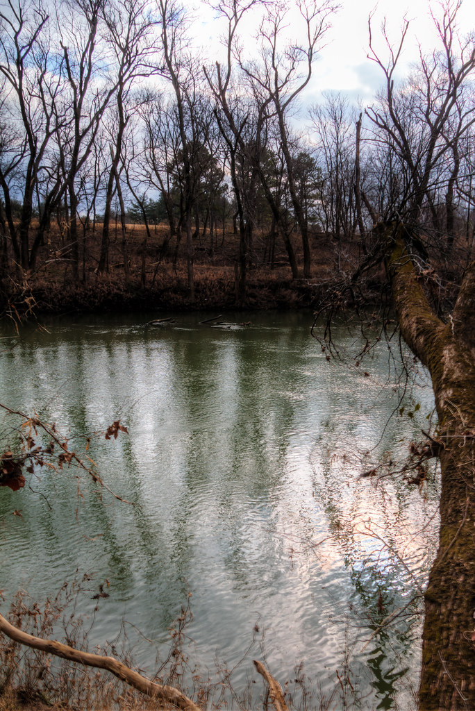
The Duck River at Henry Horton State Park
Henry Horton
Henry Horton
The Duck River at Henry Horton State Park

photo 3.JPG
Hood"s March to Spring Hill

20110108-nhm-henry-horton-duck-river-093
Henry Horton

Of the 788 pictures I have taken of Hannah this week for her 1st Birthday, this is one of my favorites. And it was completely unplanned. After one of our "official" shoots, @therealjohntucker took her for her first barefoot walk in the grass. ❤️:he
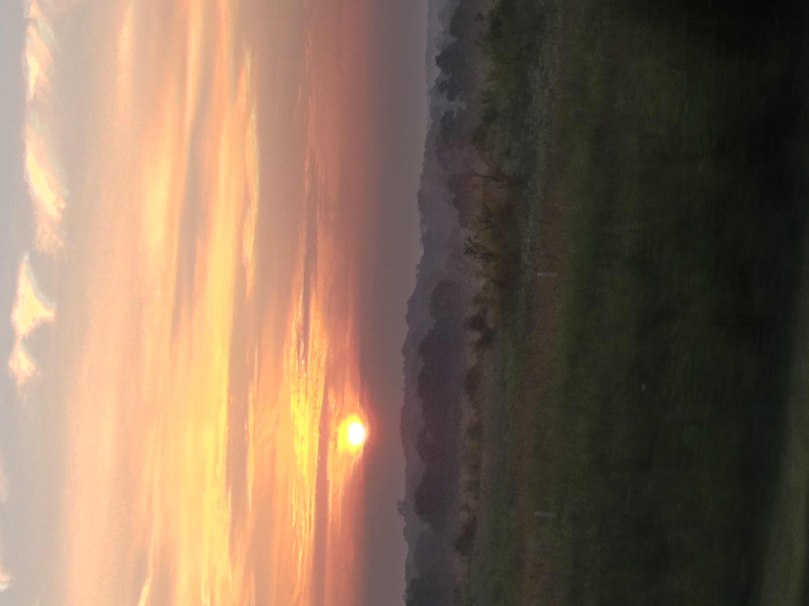
photo 4.JPG

Busy Sky
=)
Henry Horton
The Duck River at Henry Horton State Park
Henry Horton
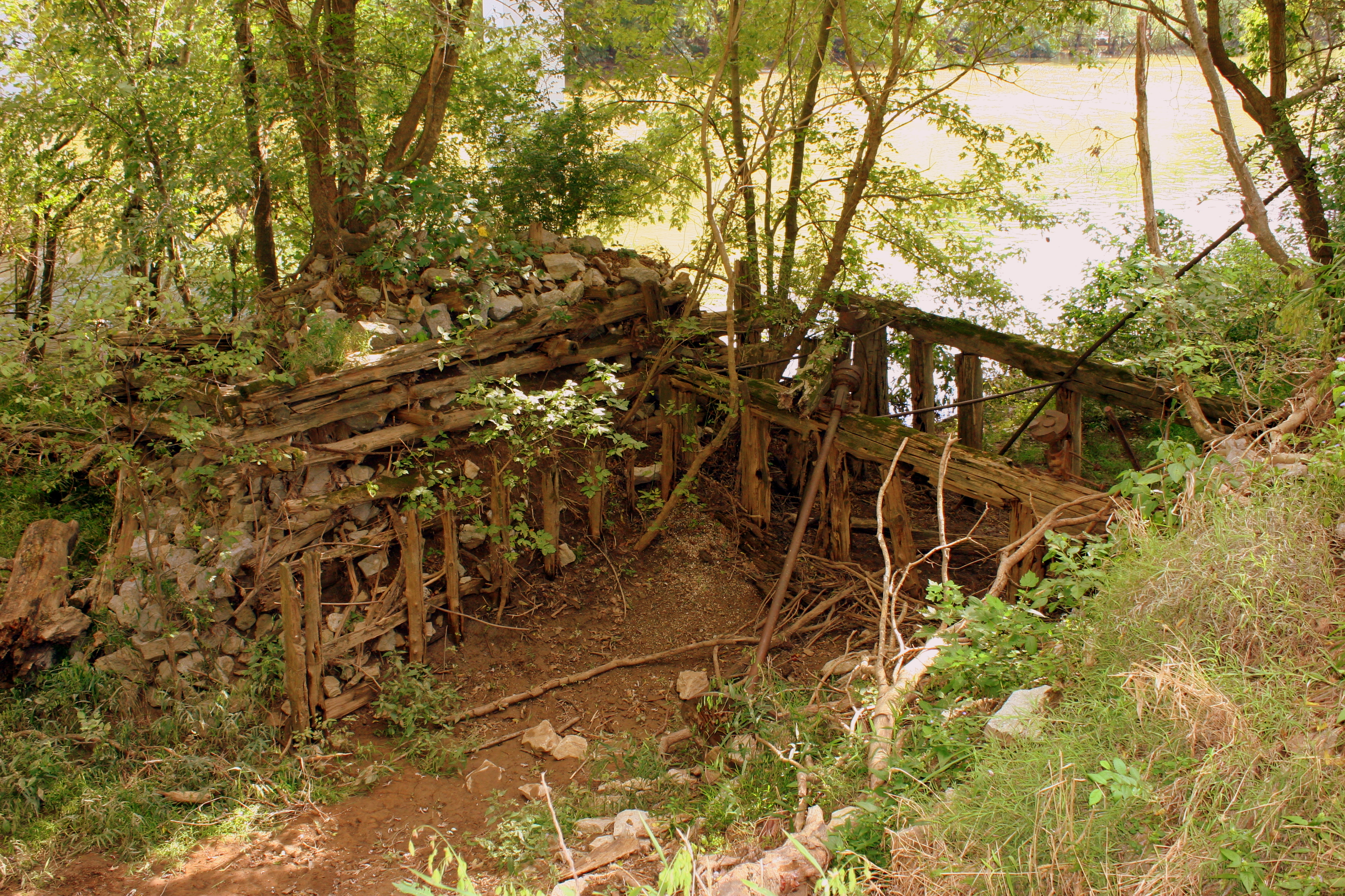
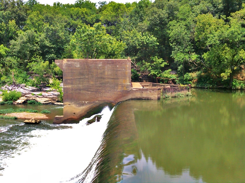
Remains of the 1846 Wilhoite Mill

BERLIN ROCK PARK
20110108-nhm-henry-horton-duck-river-148

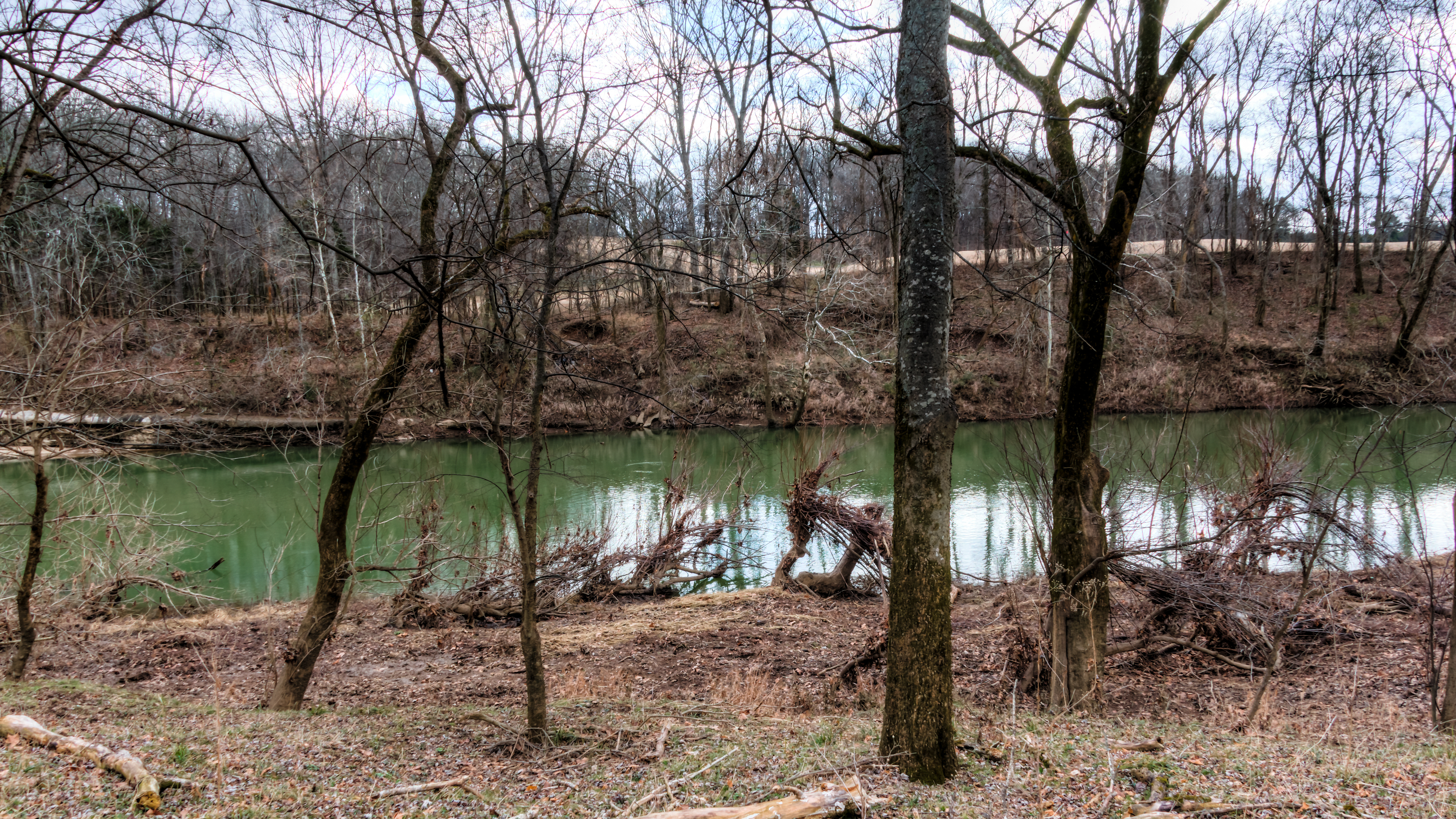
Can you find the deer?
Topographic Map of Cole Bend Rd, Columbia, TN, USA
Find elevation by address:

Places near Cole Bend Rd, Columbia, TN, USA:
4903 Cole Bend Rd
Lasea Rd, Spring Hill, TN, USA
Houston Cheek Rd, Columbia, TN, USA
2089 Paradise Dr
Culleoka Hwy, Columbia, TN, USA
608 Riverside Dr
N Hardin Dr, Columbia, TN, USA
308 2nd Ave
Columbia
1840 Lochlann Dr
1319 S Main St
1852 Lochlann Dr
1854 Lochlann Dr
1855 Lochlann Dr
111 Hobbs Dr
Thomas Ave, Columbia, TN, USA
804 W 7th St
914 Hillcrest Ave
4006 Covey Hollow Rd
1037 Claremont Dr
Recent Searches:
- Elevation of Tenjo, Cundinamarca, Colombia
- Elevation of Côte-des-Neiges, Montreal, QC H4A 3J6, Canada
- Elevation of Bobcat Dr, Helena, MT, USA
- Elevation of Zu den Ihlowbergen, Althüttendorf, Germany
- Elevation of Badaber, Peshawar, Khyber Pakhtunkhwa, Pakistan
- Elevation of SE Heron Loop, Lincoln City, OR, USA
- Elevation of Slanický ostrov, 01 Námestovo, Slovakia
- Elevation of Spaceport America, Co Rd A, Truth or Consequences, NM, USA
- Elevation of Warwick, RI, USA
- Elevation of Fern Rd, Whitmore, CA, USA