Elevation of Cold Springs Rd, Placerville, CA, USA
Location: United States > California > El Dorado County > Placerville >
Longitude: -120.84937
Latitude: 38.7371658
Elevation: 489m / 1604feet
Barometric Pressure: 96KPa
Elevation Map:
Satellite Map:
Related Photos:

Robinson's Pharmacy

Sunset Vineyard

Boeger Winery sunset view

W6SAE, SOTA W6/NS-357

RV Camping..

"Fall" Color
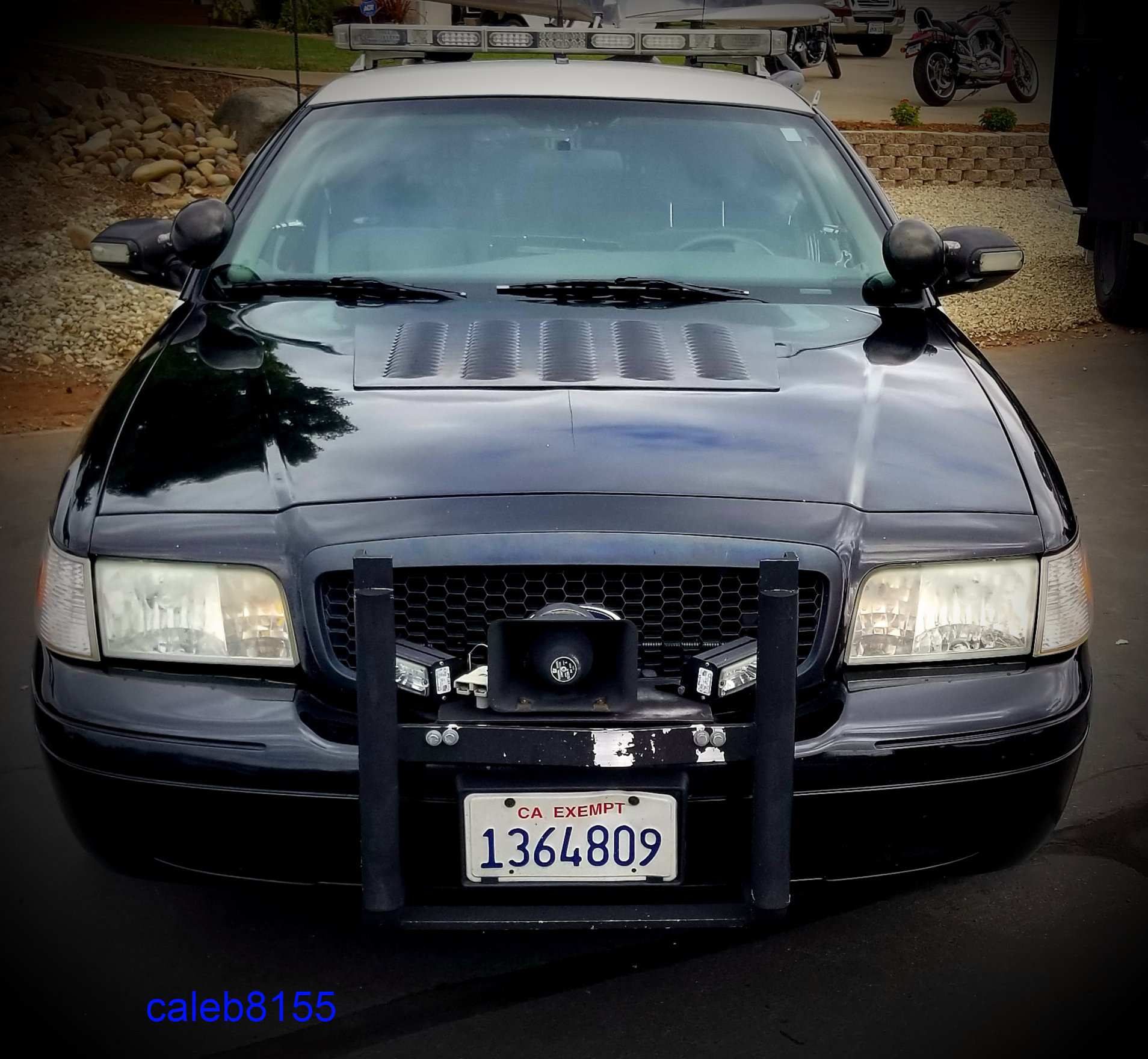
California Highway Patrol Crown Victoria K-9 front view

W6SAE, SOTA W6/NS-357

W6SAE, SOTA W6/NS-357

Leucistic White Hummingbird 8071

Day 945: ElDorado_9950d

Morning Services

Outside the barn

Mom's Dirty Car
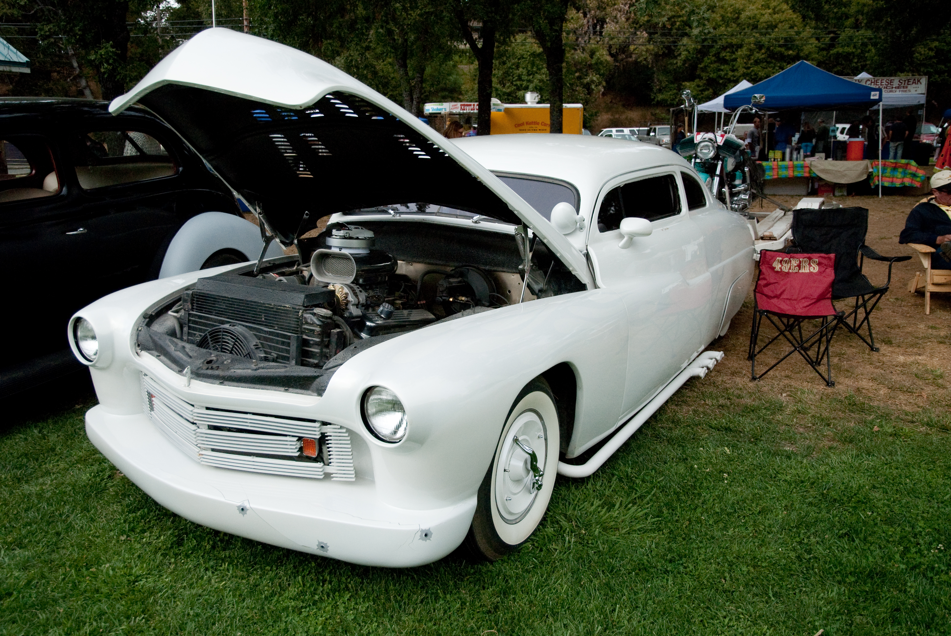
GVCarShow-6

Bending the eye bolt
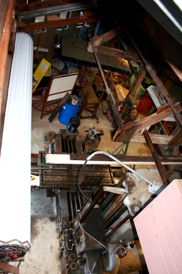
El Dorado Western machine shop
The view at Lava Cap Winery

Marshall Gold Discovery State Historic Park
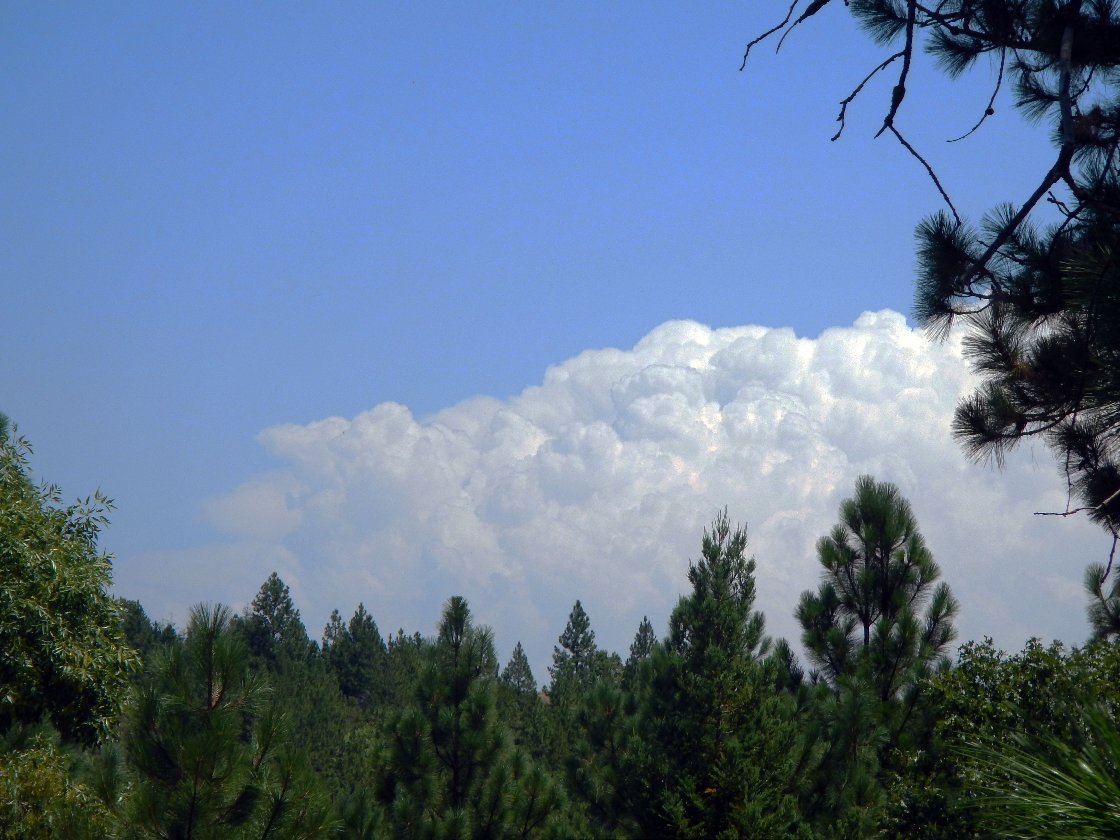
Thunderclouds Over the Crest

View from James Marshal Monument. Marshal Gold Discovery State Historic Park. Coloma, California. December 20, 2012.

moss and mist

Apple Hill

Hell in our backyard

These trees survived the season

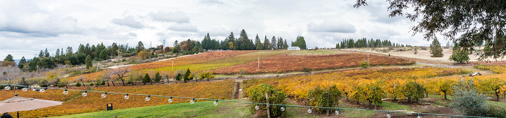
Boeger Winery in the Fall

The Fishing Spot 9174

Sunset Vineyard

Dutch Creek Waterfall

Fall vineyard sunset

Rock Creek, El Dorado Co

Cosumnes Bridge
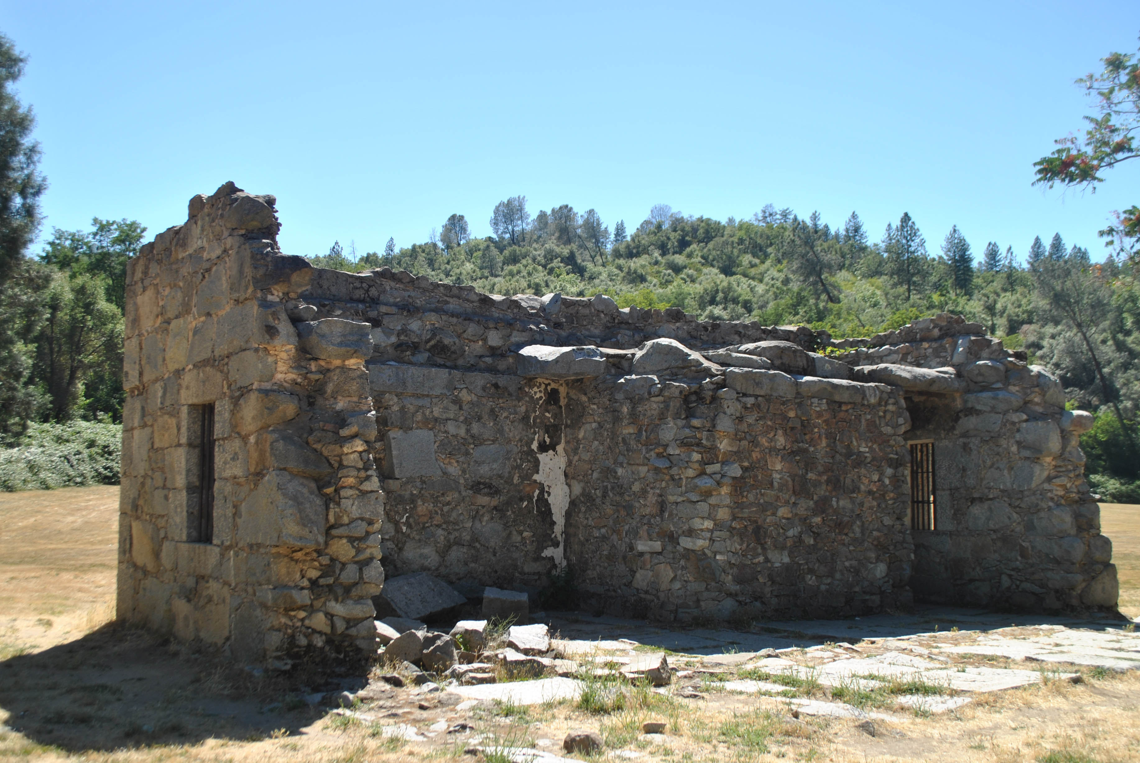
El Dorado County Jail Ruins
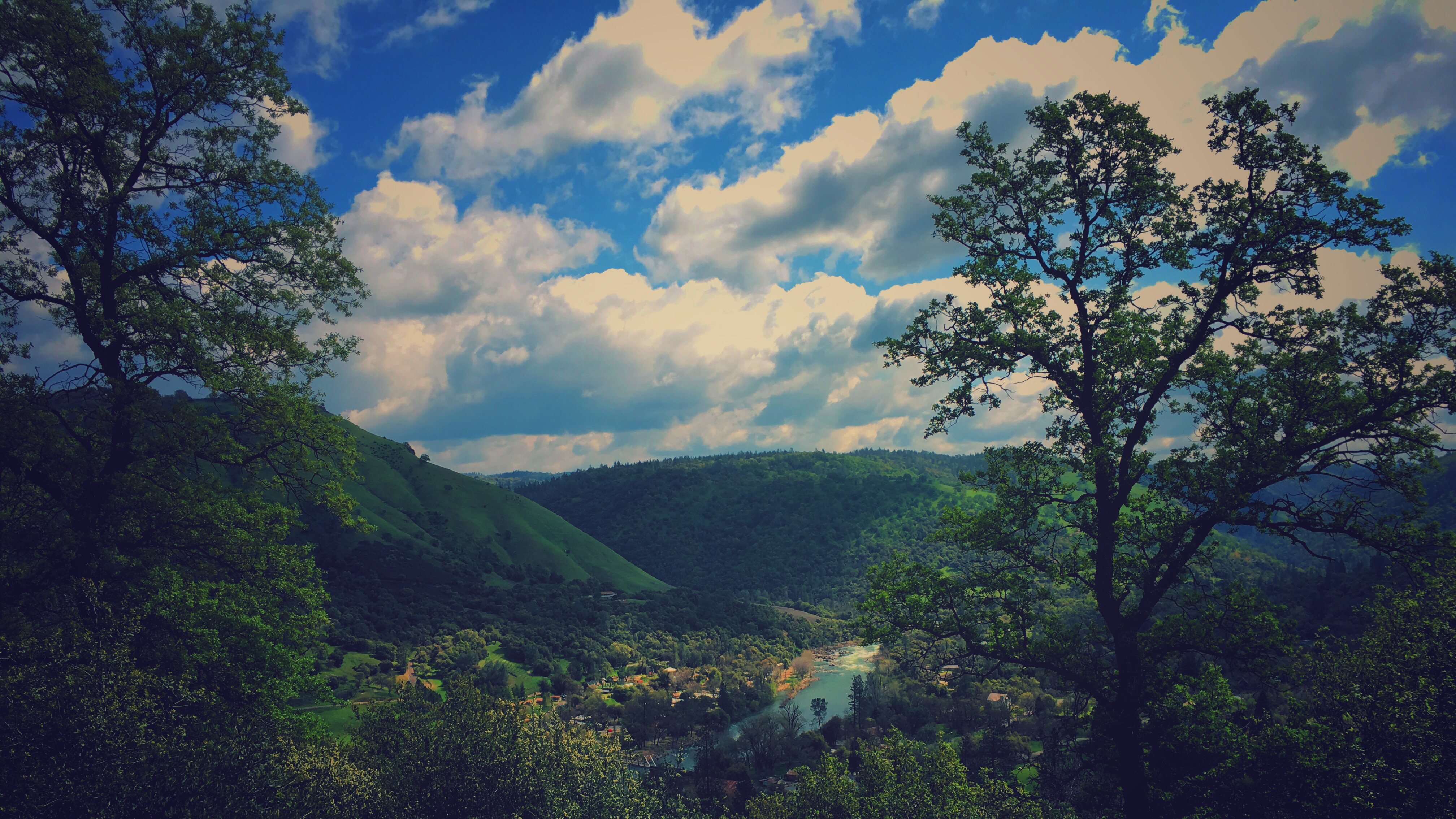
finding gold in the valley of Coloma

Forty Acres and a Mule
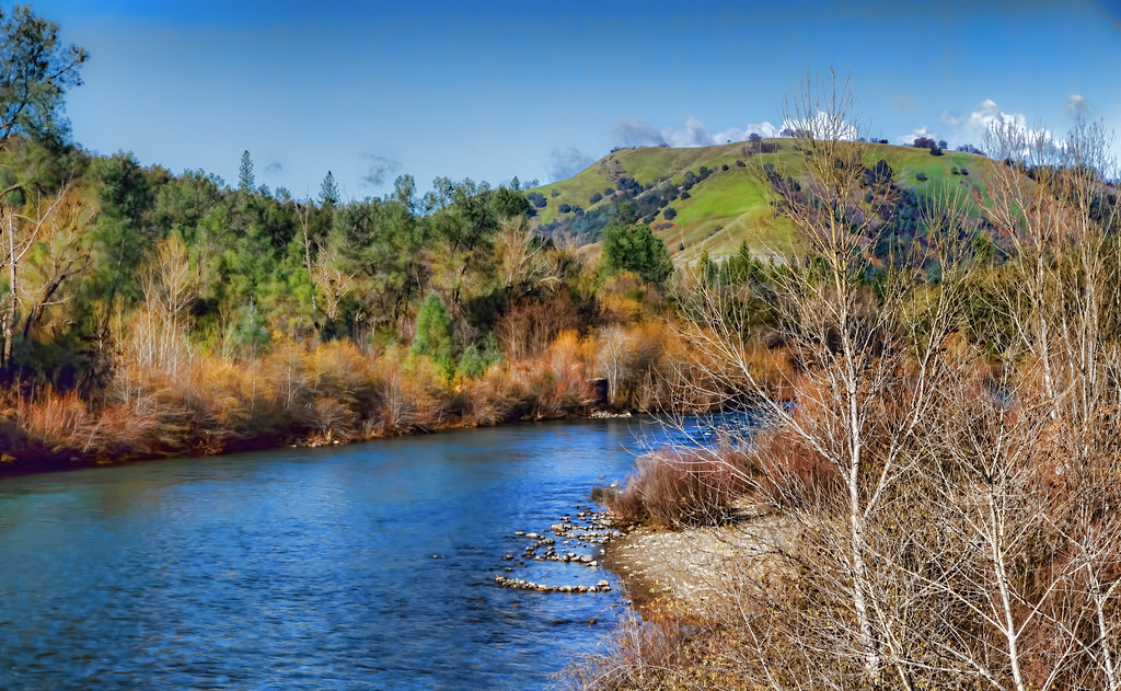
A Winter Morning Along the South Fork of the American River

#streetcorner

land of milk and honey

Sutter's Mill, Coloma, California Gold Rush Historic Site

Sourdough Road, Placerville, CA

Family of white swans at the pond. #pond #whiteswans #landscape #nature #cattails #NikonD90
Topographic Map of Cold Springs Rd, Placerville, CA, USA
Find elevation by address:

Places near Cold Springs Rd, Placerville, CA, USA:
2344 Davis Ct
2391 Green Wing Ln
237 Placerville Dr
7227 Green Valley Rd
Hidden Springs Villa
2041 Sundown Trail
2640 Woodridge Ct
Big Lots (fair Ln.)
150 Diana St
150 Diana St
311 Fair Ln
2018 Tupack Ct
Fair Lane
360 Fair Ln
600 Placerville Dr
Emmerson Rd, Placerville, CA, USA
169 Judy Dr
1741 Tyrrel Ln
914 Oak Terrace Rd
920 Oak Terrace Rd
Recent Searches:
- Elevation of 6 Rue Jules Ferry, Beausoleil, France
- Elevation of Sattva Horizon, 4JC6+G9P, Vinayak Nagar, Kattigenahalli, Bengaluru, Karnataka, India
- Elevation of Great Brook Sports, Gold Star Hwy, Groton, CT, USA
- Elevation of 10 Mountain Laurels Dr, Nashua, NH, USA
- Elevation of 16 Gilboa Ln, Nashua, NH, USA
- Elevation of Laurel Rd, Townsend, TN, USA
- Elevation of 3 Nestling Wood Dr, Long Valley, NJ, USA
- Elevation of Ilungu, Tanzania
- Elevation of Yellow Springs Road, Yellow Springs Rd, Chester Springs, PA, USA
- Elevation of Rēzekne Municipality, Latvia