Elevation of Colchester, NY, USA
Location: United States > New York > Delaware County >
Longitude: -74.920877
Latitude: 42.0582349
Elevation: 520m / 1706feet
Barometric Pressure: 95KPa
Elevation Map:
Satellite Map:
Related Photos:
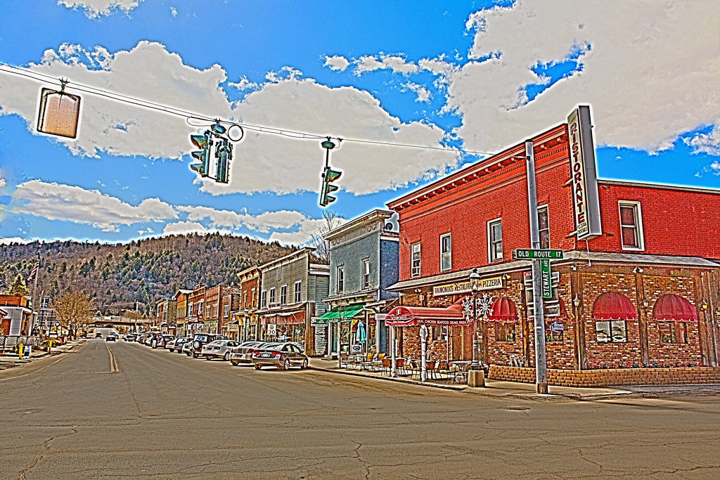
HV-1412.jpg
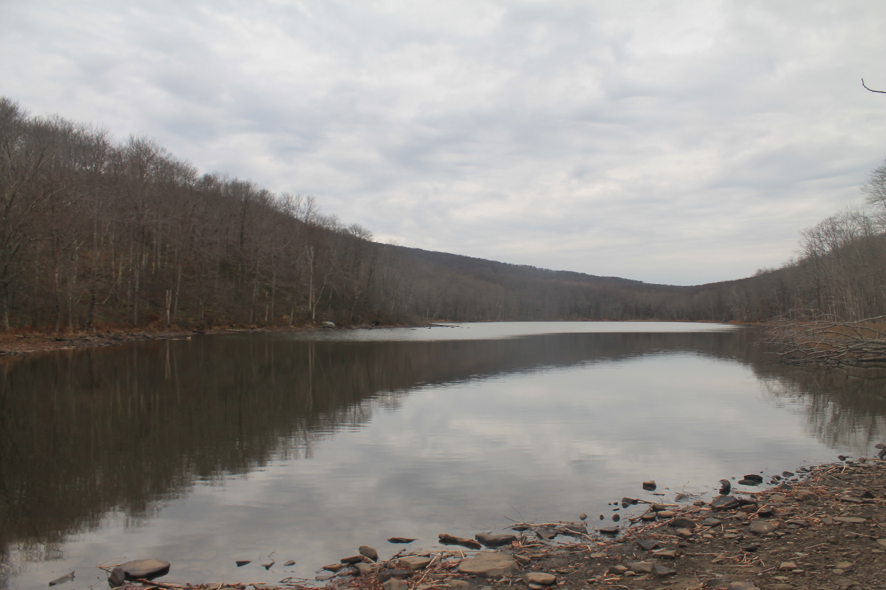
Beaver Kill Views

Beaver Kill Views
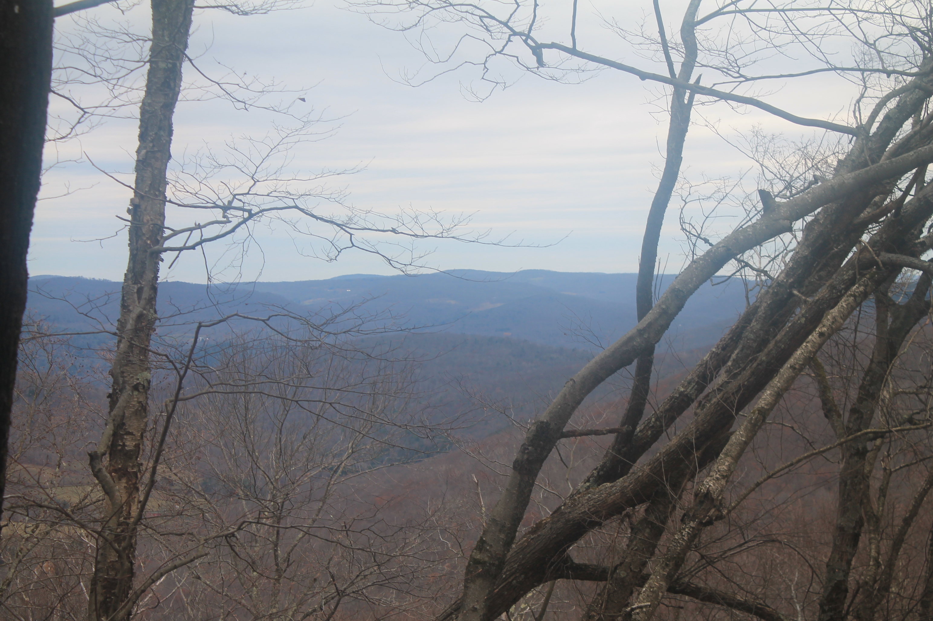
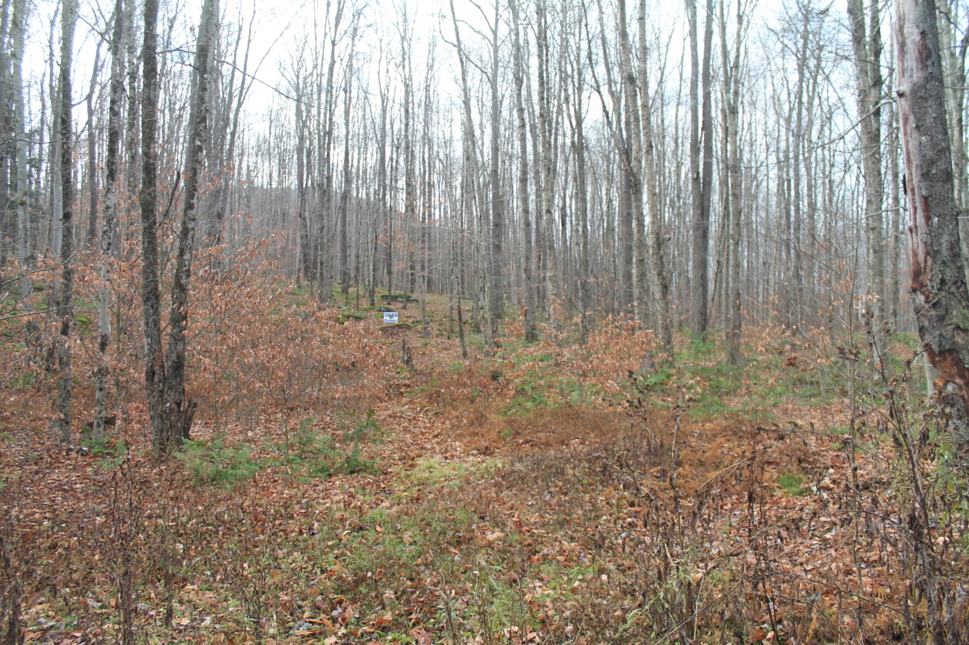
View Off Morton Hill
Shavertown Trail
View from Mary Smith Trail
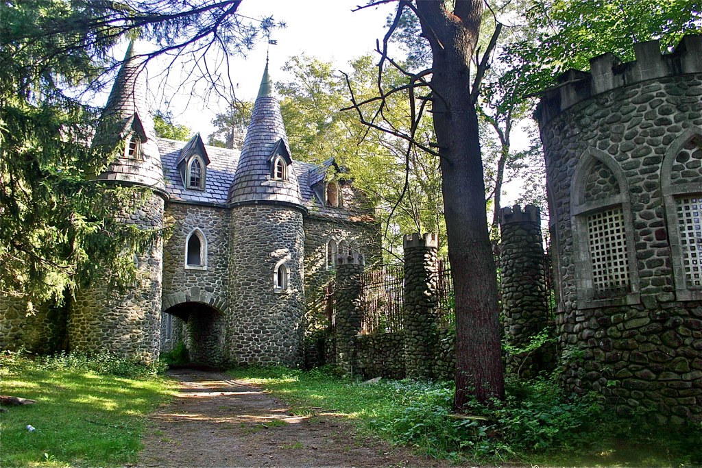
Dundas Castle

Nice Catch

Worm's eye view
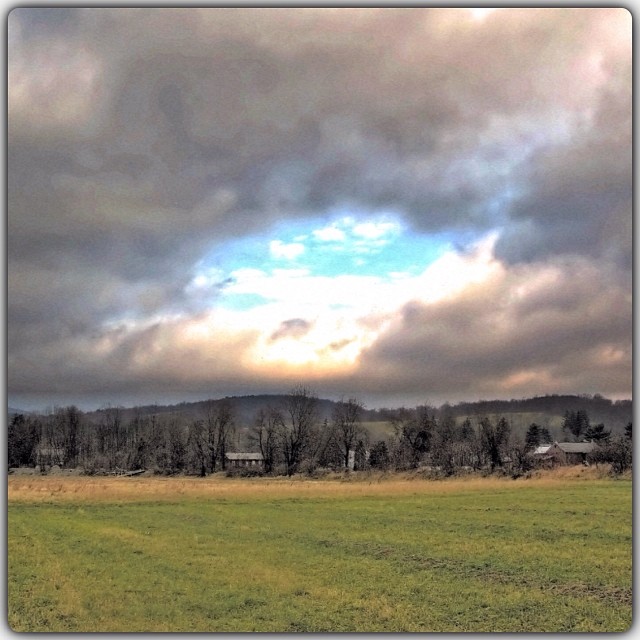
Country View, state of NY

up the down staircase
Country View, state of NY
Fall Catskills, NY

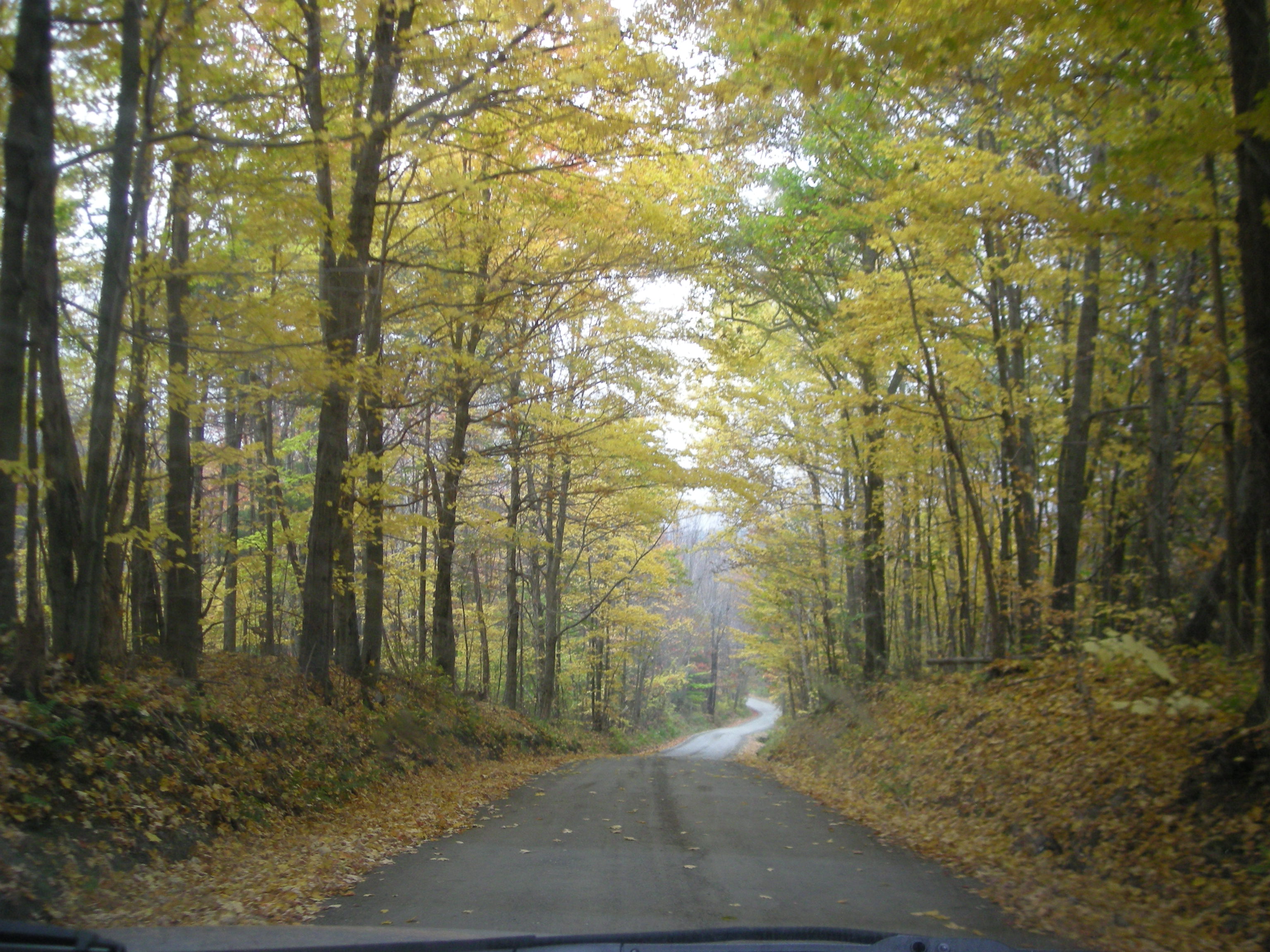
American countryside in October - 2
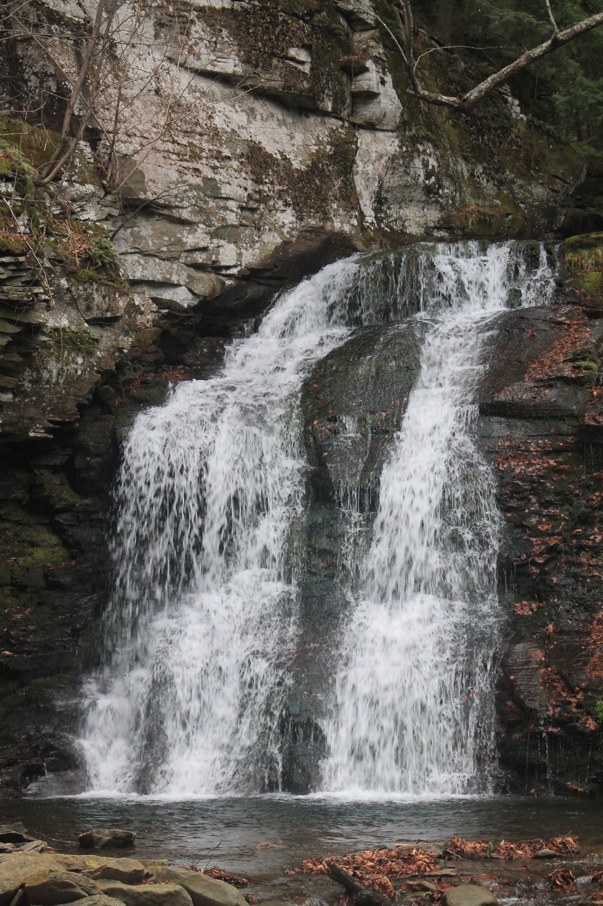
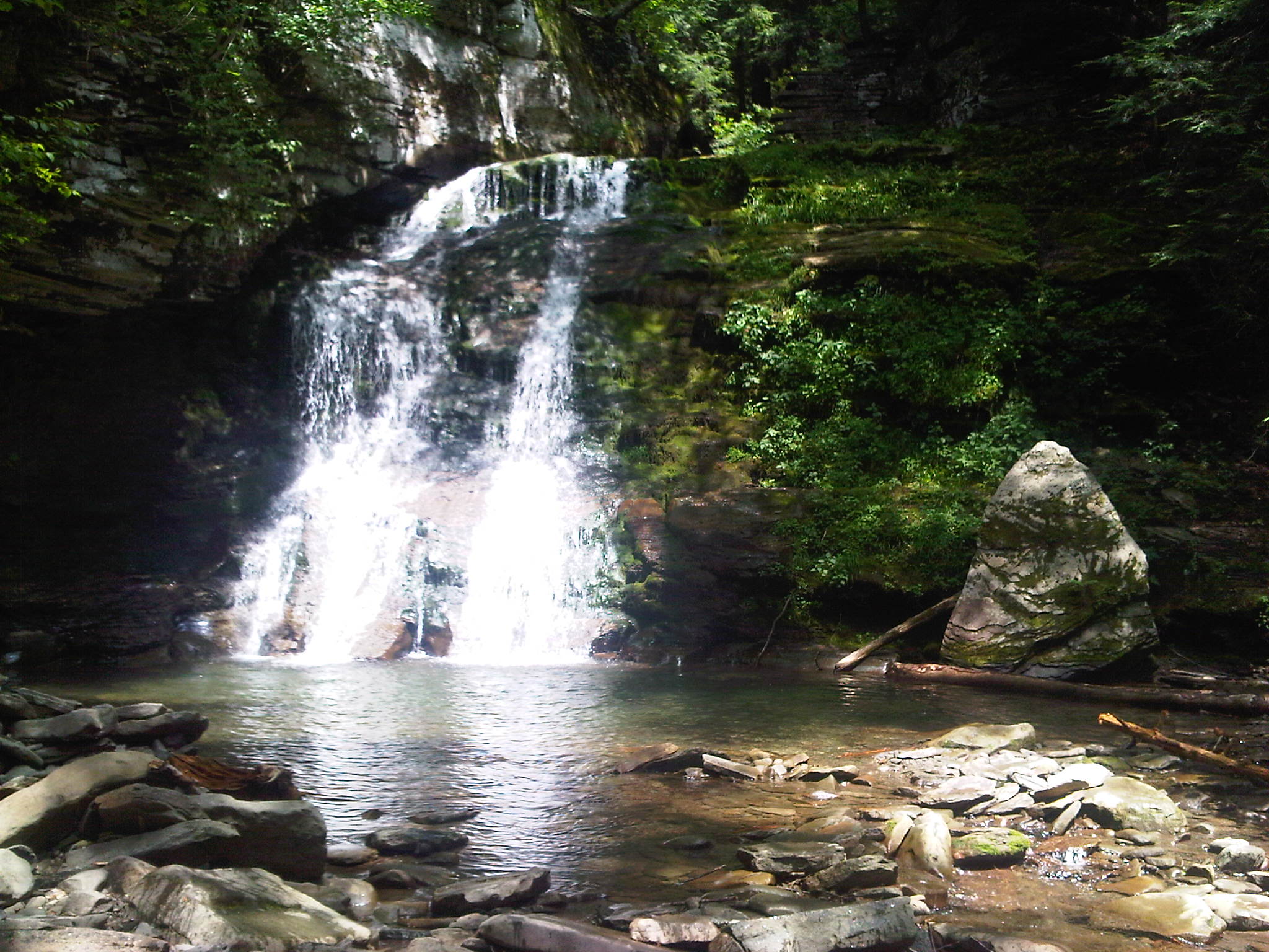
Russell Brook Falls 2

Peak colors on Andes, NY

Tree near Andes, NY
Holiday Brook
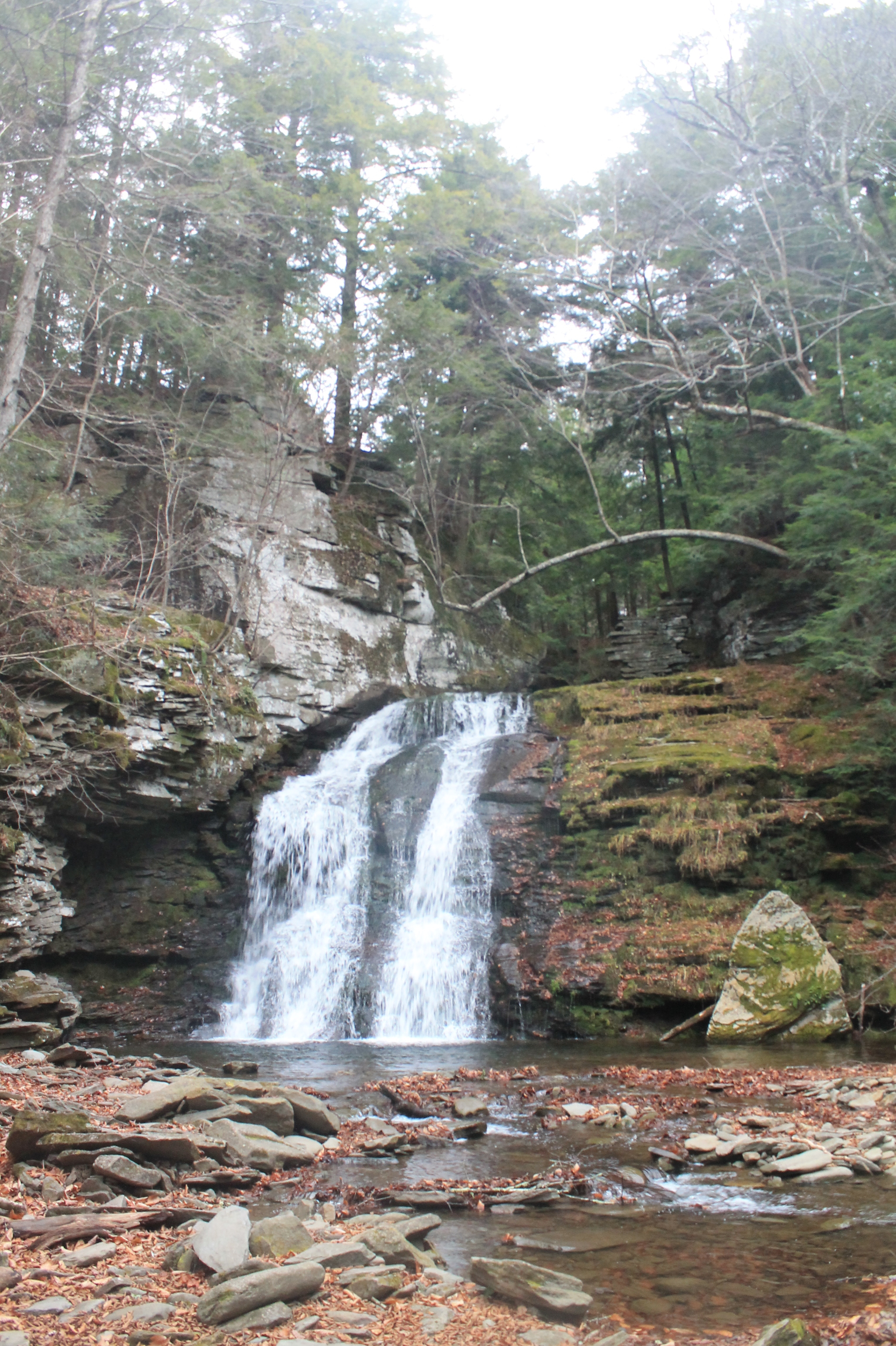
Russell Brook Falls - Lower Falls
IMG-20110723-00555.jpg
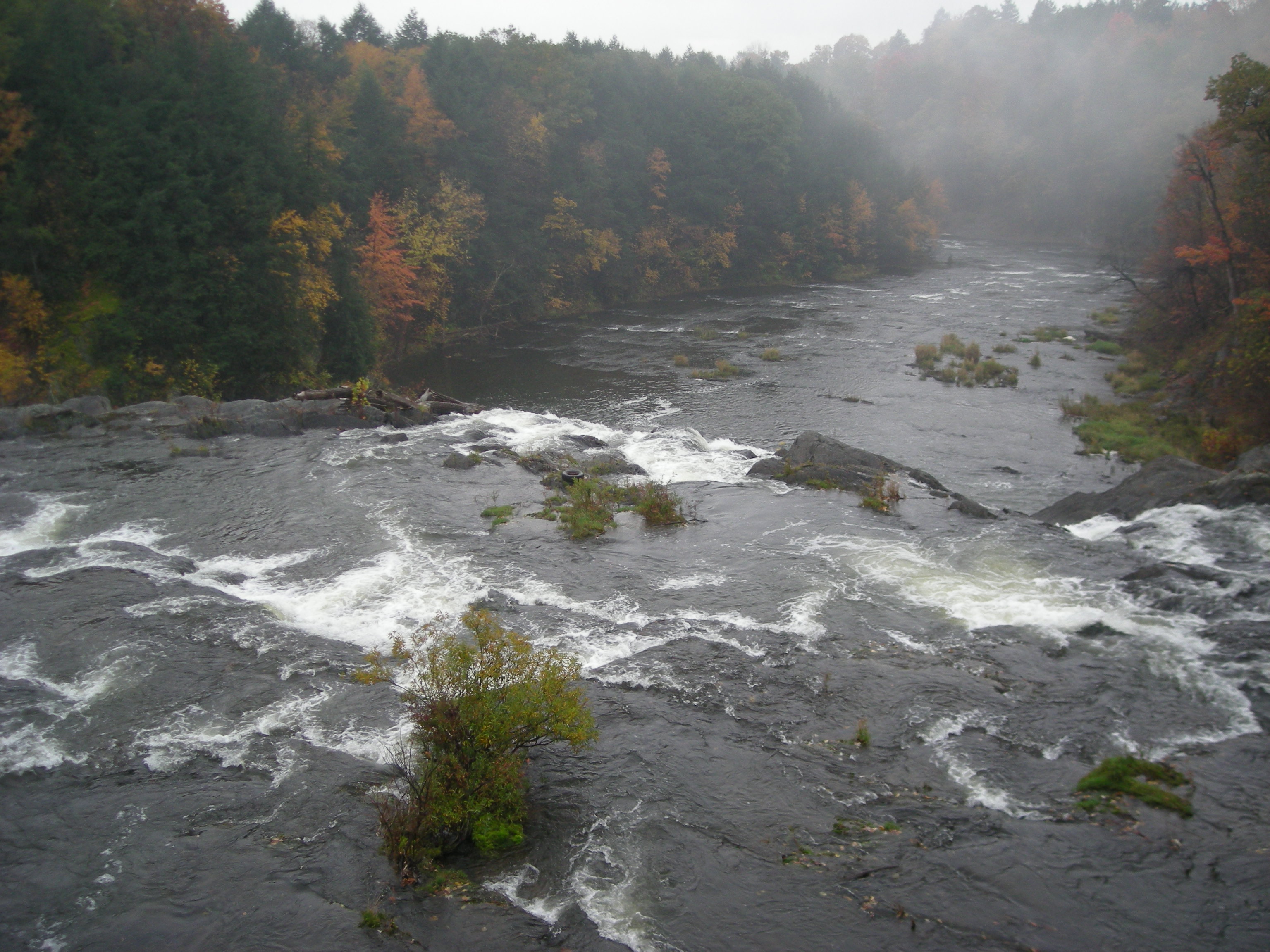
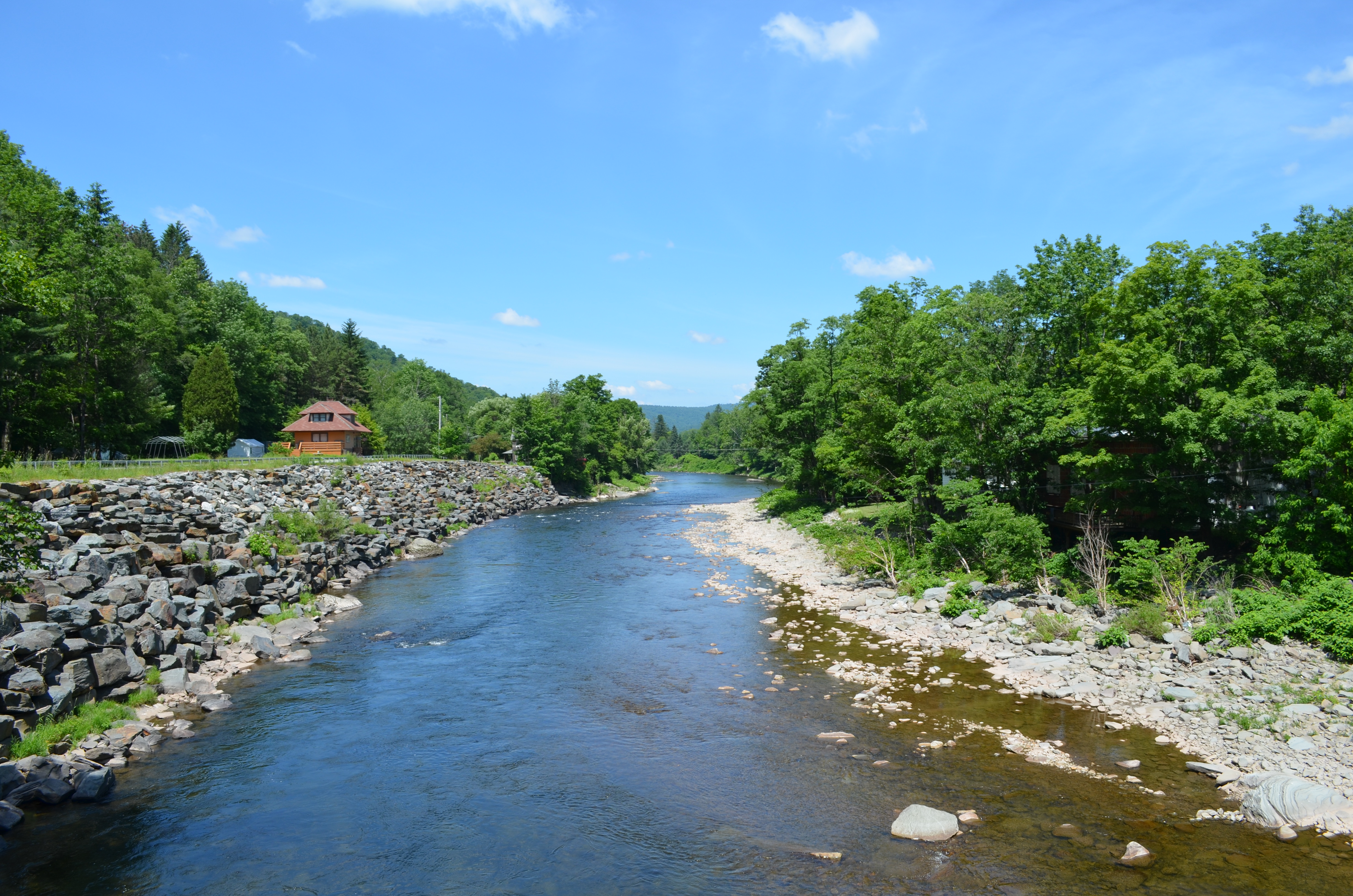
Beaverkill River, Cooks Falls, NY

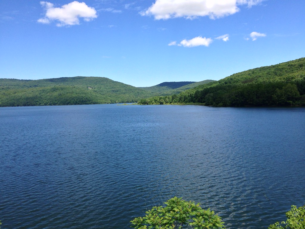
Kayaking on Amber Lake
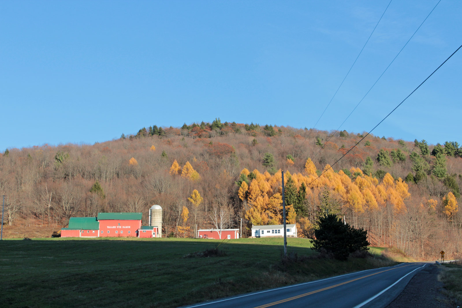
Valley Vue Ranch
Sun Rise
Target Practice

Beaverkill Covered Bridge

Boys Fishing 2
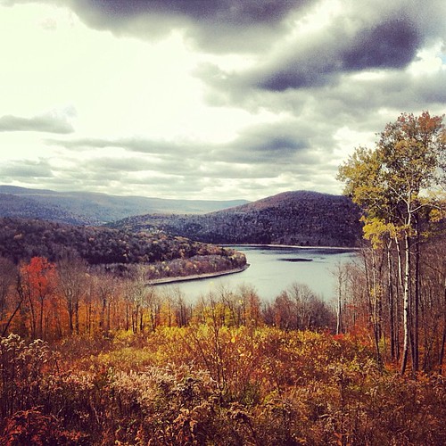
Trout Pond
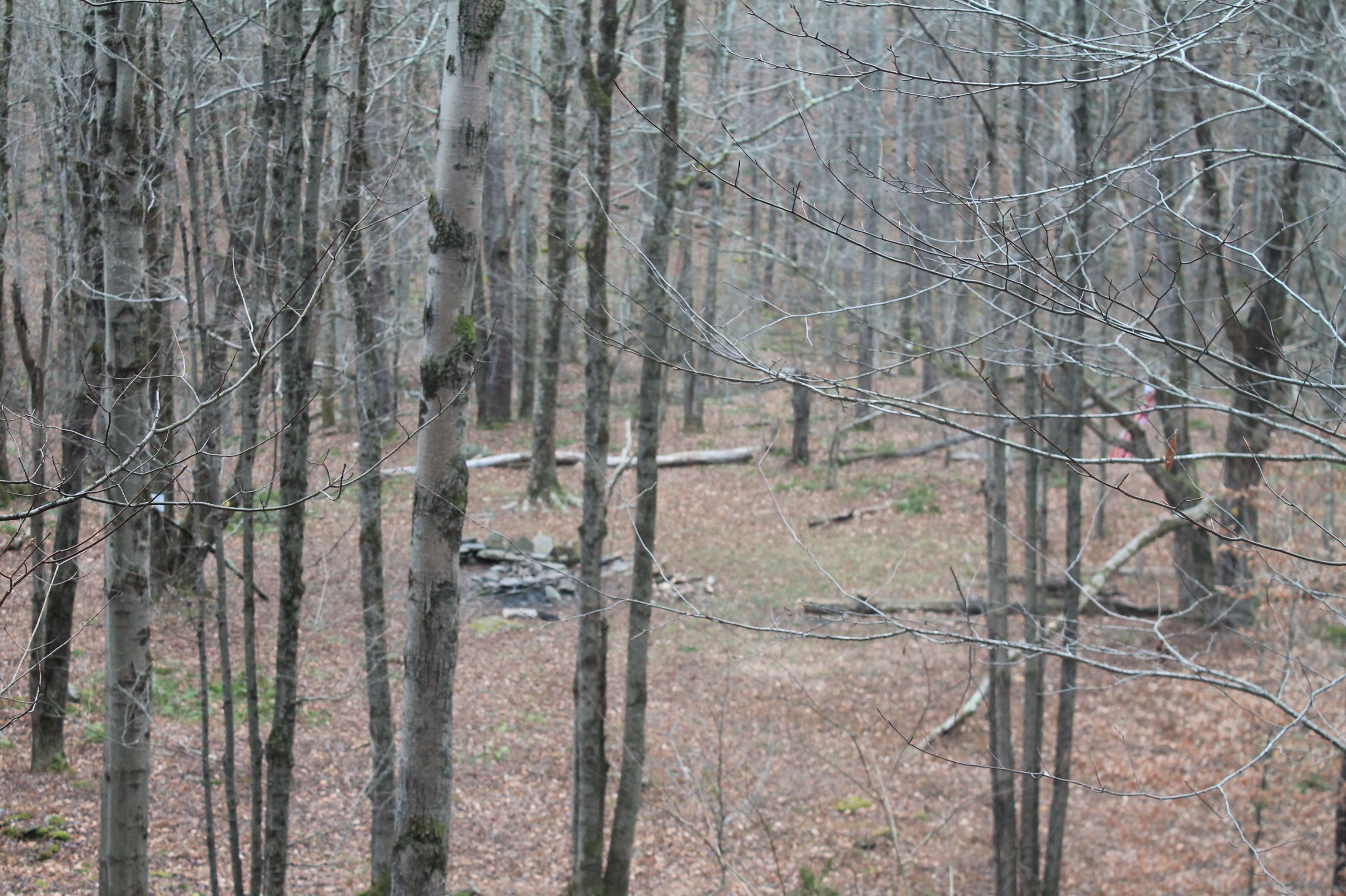
Campsite Halfway to Trout Lake
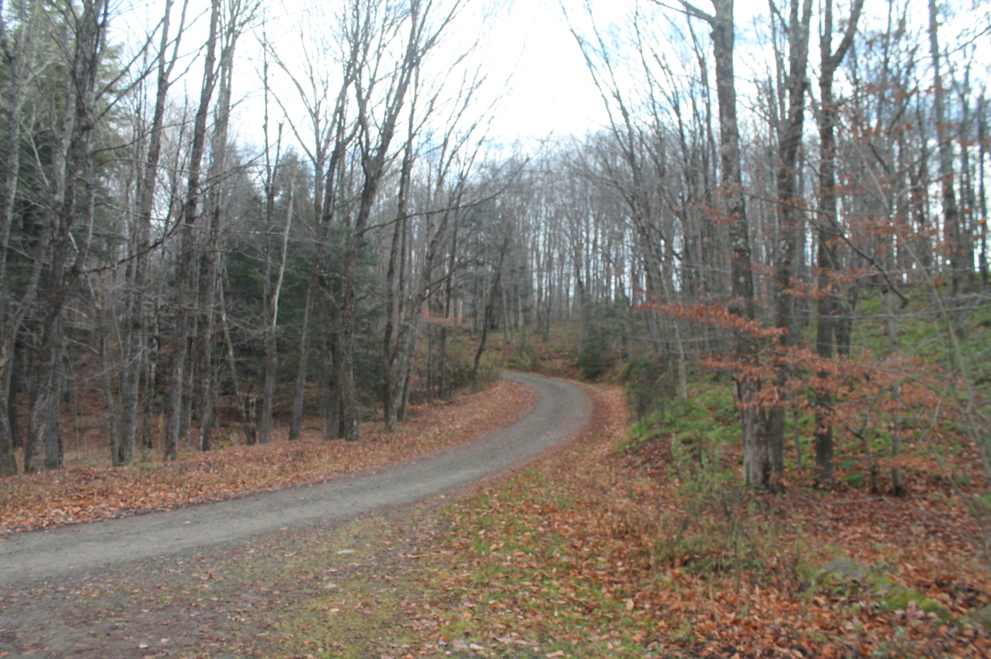
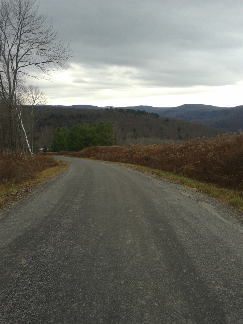
Russell Brook Road
A very dramatic scene
2014-06-21 11.53.59
Topographic Map of Colchester, NY, USA
Find elevation by address:

Places in Colchester, NY, USA:
Places near Colchester, NY, USA:
Cat Hollow Road
Cat Hollow Road
5457 Morton Hill Rd
1082 Spring Brook Estates Rd
Emerald Lake Road
Downsville
13141 Ny-30
828 Fuller Hollow Rd
11252 Ny-30
885 E Terry Clove Rd
885 E Terry Clove Rd
616 Mac Donald Rd
River Rd, Downsville, NY, USA
600 Weed Brook Rd
29665 Ny-10
Colchester
2385 Houck Mountain Rd
3777 Houck Mountain Rd
Walton
30 Bruce St
Recent Searches:
- Elevation of Corso Fratelli Cairoli, 35, Macerata MC, Italy
- Elevation of Tallevast Rd, Sarasota, FL, USA
- Elevation of 4th St E, Sonoma, CA, USA
- Elevation of Black Hollow Rd, Pennsdale, PA, USA
- Elevation of Oakland Ave, Williamsport, PA, USA
- Elevation of Pedrógão Grande, Portugal
- Elevation of Klee Dr, Martinsburg, WV, USA
- Elevation of Via Roma, Pieranica CR, Italy
- Elevation of Tavkvetili Mountain, Georgia
- Elevation of Hartfords Bluff Cir, Mt Pleasant, SC, USA