Elevation map of Codajás - State of Amazonas, Brazil
Location: Brazil > State Of Amazonas >
Longitude: -62.061092
Latitude: -3.8398302
Elevation: 31m / 102feet
Barometric Pressure: 101KPa
Elevation Map:
Satellite Map:
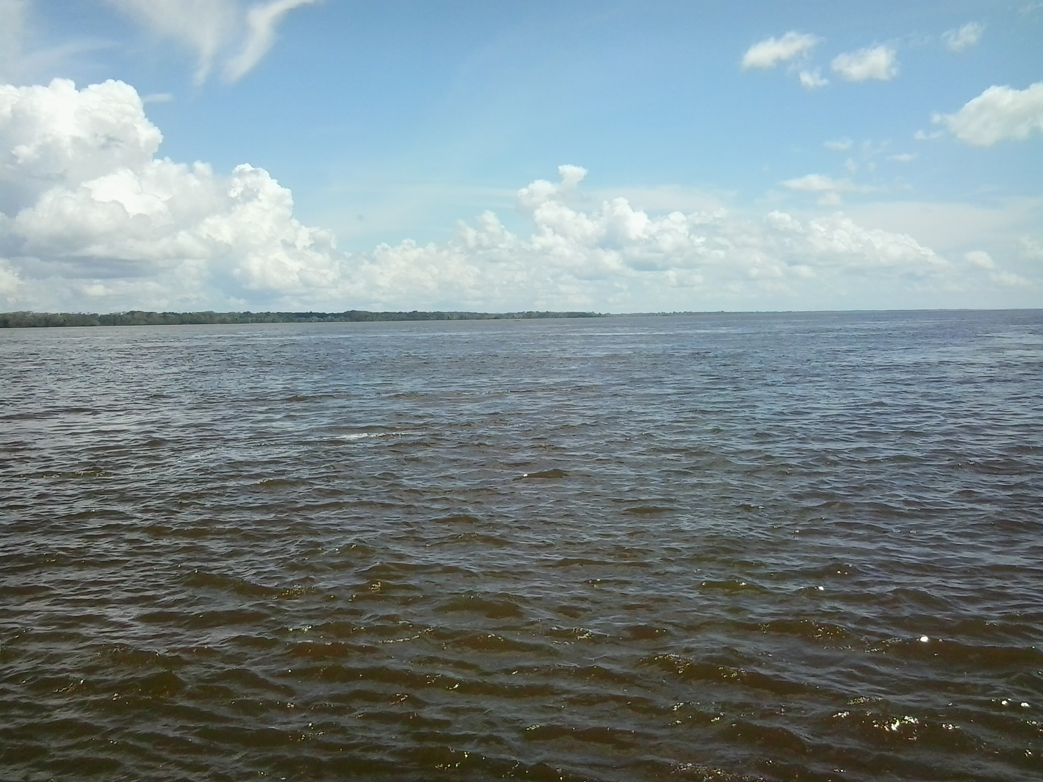
Related Photos:
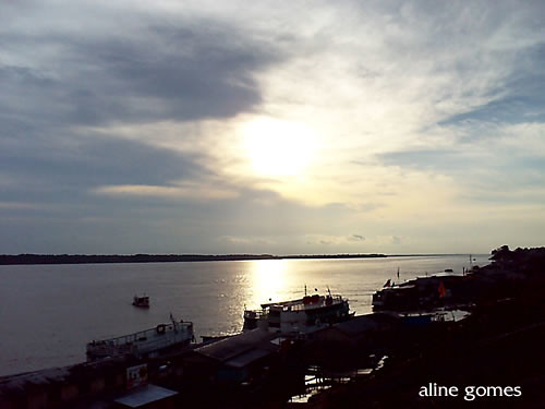
Codajás
Municipio de Codajás - Amazonas
Cópia de AMAZÔNIA CODAJÁS.Photos Jimmy Christian (10)
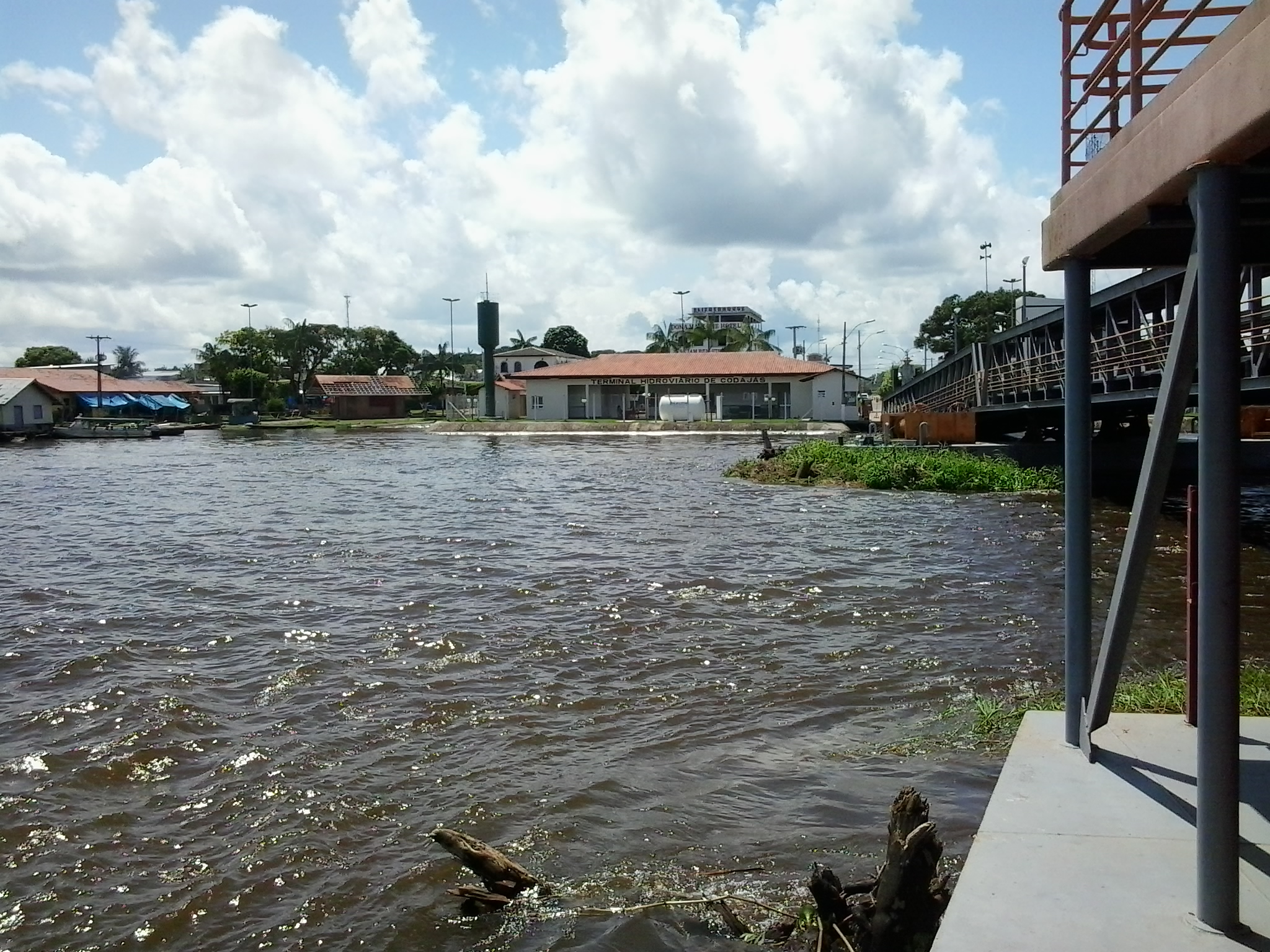
Codajás

Municipio de Codajás - Amazonas
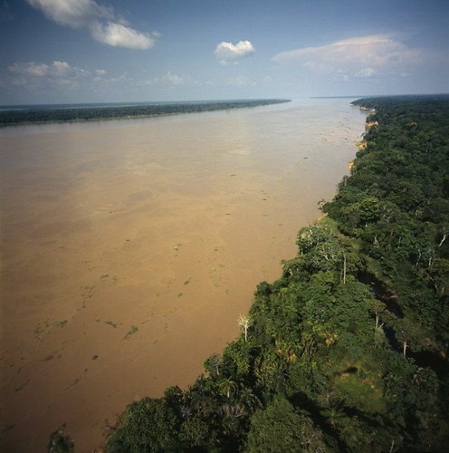
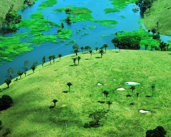
Solimões/Solimões River
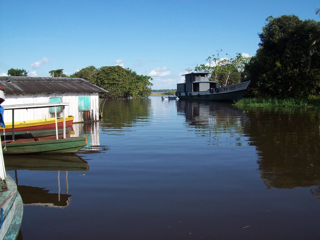
Municipio de Codajás - Amazonas

Nativos de Codajas
Topographic Map of Codajás - State of Amazonas, Brazil
Find elevation by address:

Places in Codajás - State of Amazonas, Brazil:
Places near Codajás - State of Amazonas, Brazil:
Recent Searches:
- Elevation of Woodland Oak Pl, Thousand Oaks, CA, USA
- Elevation of Brownsdale Rd, Renfrew, PA, USA
- Elevation of Corcoran Ln, Suffolk, VA, USA
- Elevation of Mamala II, Sariaya, Quezon, Philippines
- Elevation of Sarangdanda, Nepal
- Elevation of 7 Waterfall Way, Tomball, TX, USA
- Elevation of SW 57th Ave, Portland, OR, USA
- Elevation of Crocker Dr, Vacaville, CA, USA
- Elevation of Pu Ngaol Community Meeting Hall, HWHM+3X7, Krong Saen Monourom, Cambodia
- Elevation of Royal Ontario Museum, Queens Park, Toronto, ON M5S 2C6, Canada