Elevation of Cochran Ln, Rockport, TX, USA
Location: United States > Texas > Aransas County > Rockport >
Longitude: -97.039724
Latitude: 28.043486
Elevation: 2m / 7feet
Barometric Pressure: 101KPa
Elevation Map:
Satellite Map:
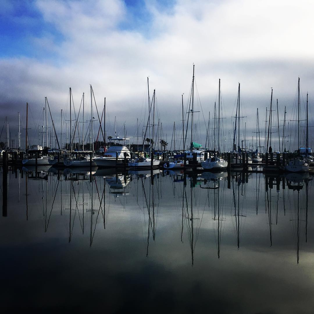
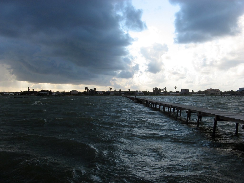
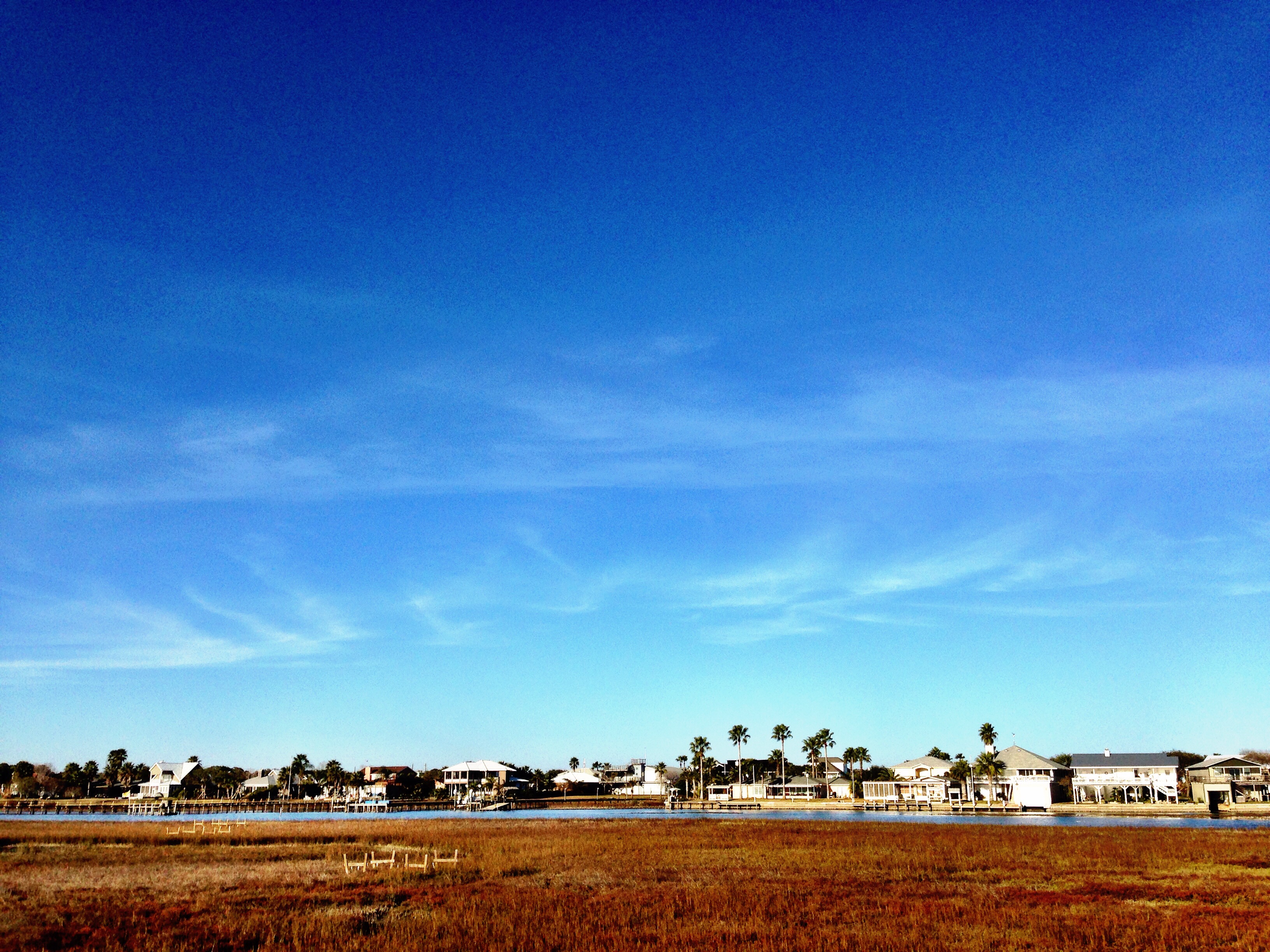
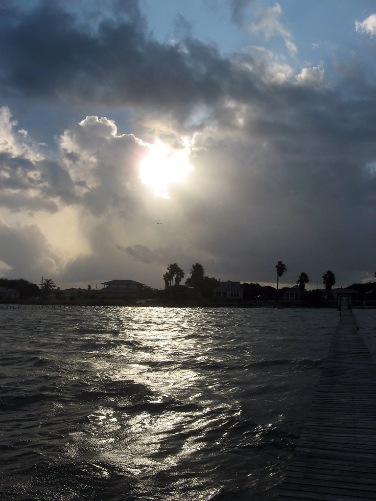
Related Photos:
Love having my office right here! #cbronbrown #coldwellbanker

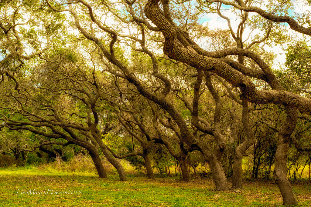
Afternoon at Goose Island State Park

Afternoon at Goose Island State Park
IMG_2159.JPG
Afternoon at Goose Island State Park

Jan 7 13th Green and Fairway RCC

starstrails over Goose Island State Park campground

Afternoon at Goose Island State Park
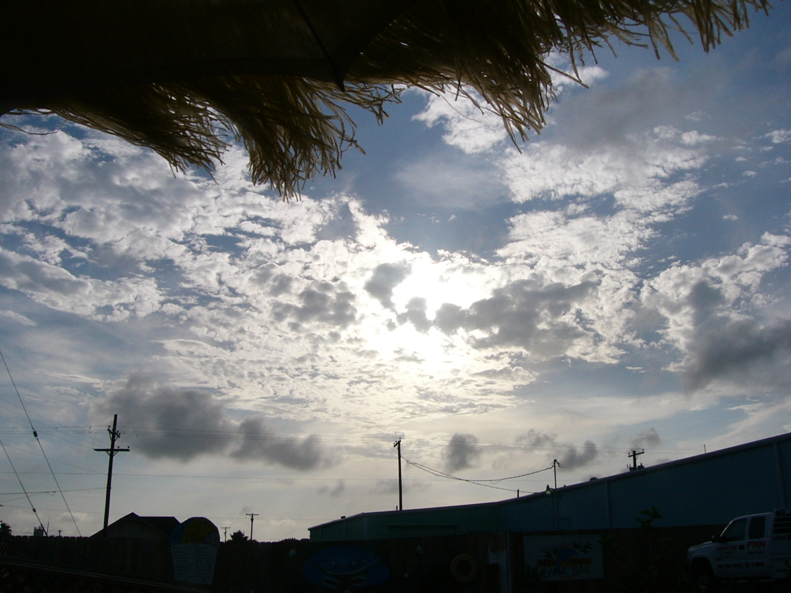
The Sky from Our Table
20151115-NX4A4769-Edit

Dec 3 Surrise HDR

Ruddy Turnstone (Arenaria interpres)

Sunset at Copano Bay - 07
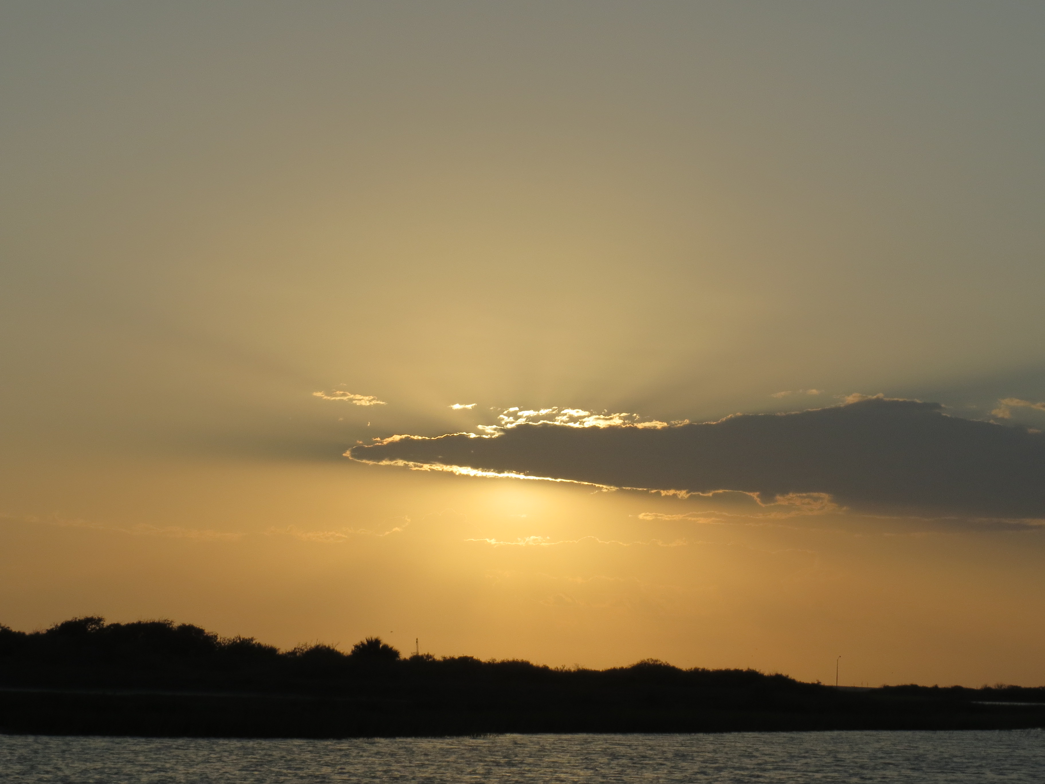
Sunset - Goose Island State Park
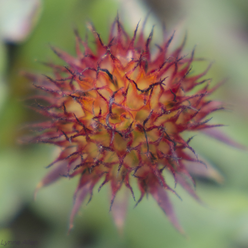
Spiky!

Sunset at Copano Bay - 04
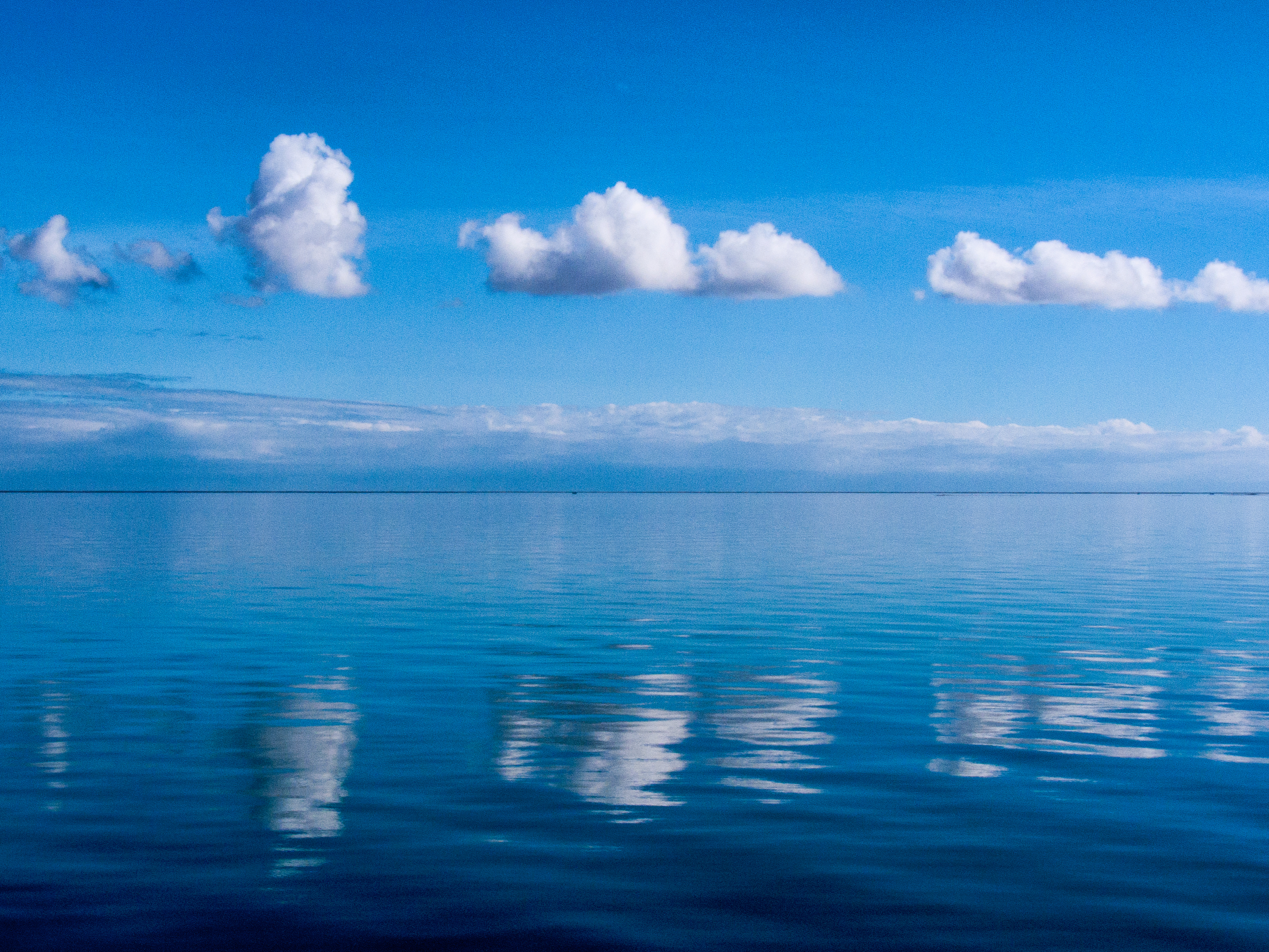
Clouds 210940.jpg
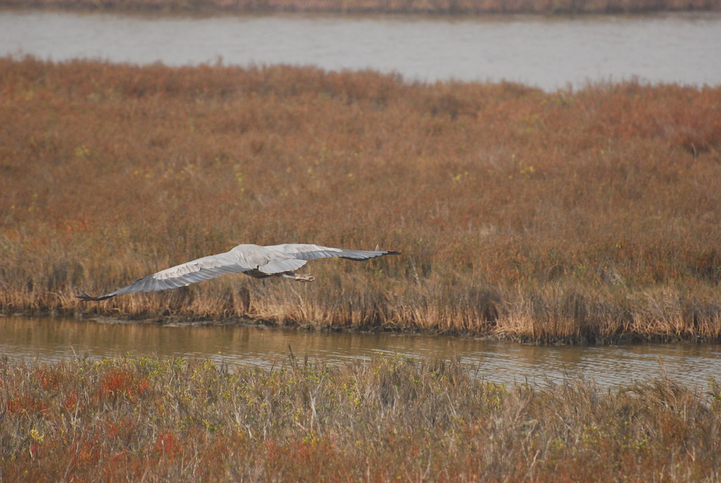
12-31-11 Blue Heron
IMG_2180.JPG
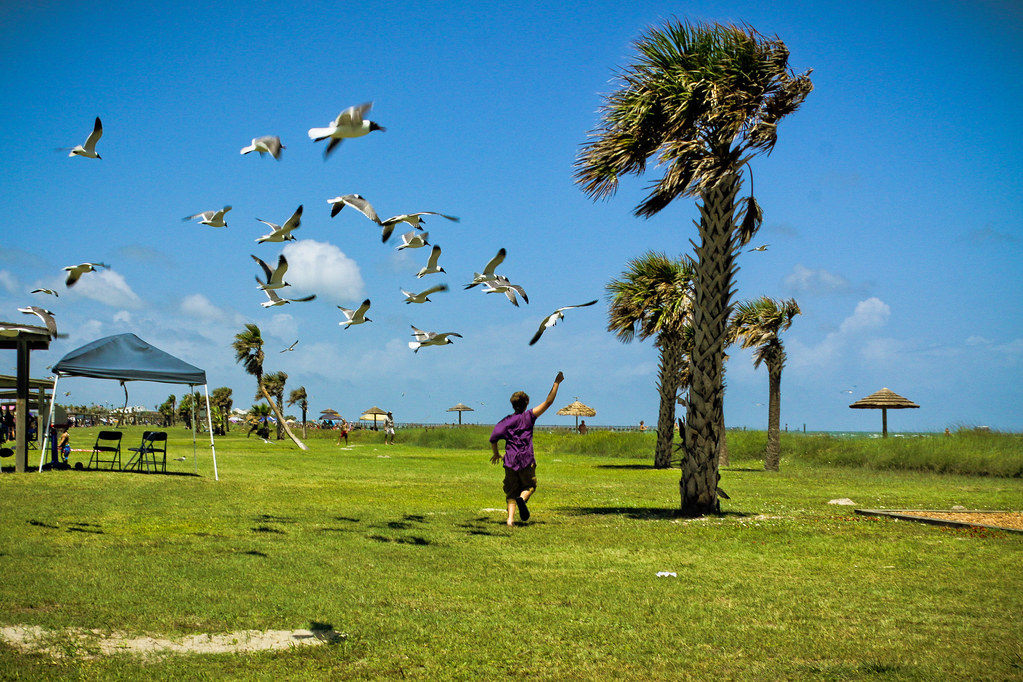
Don't Feed the Gulls-3
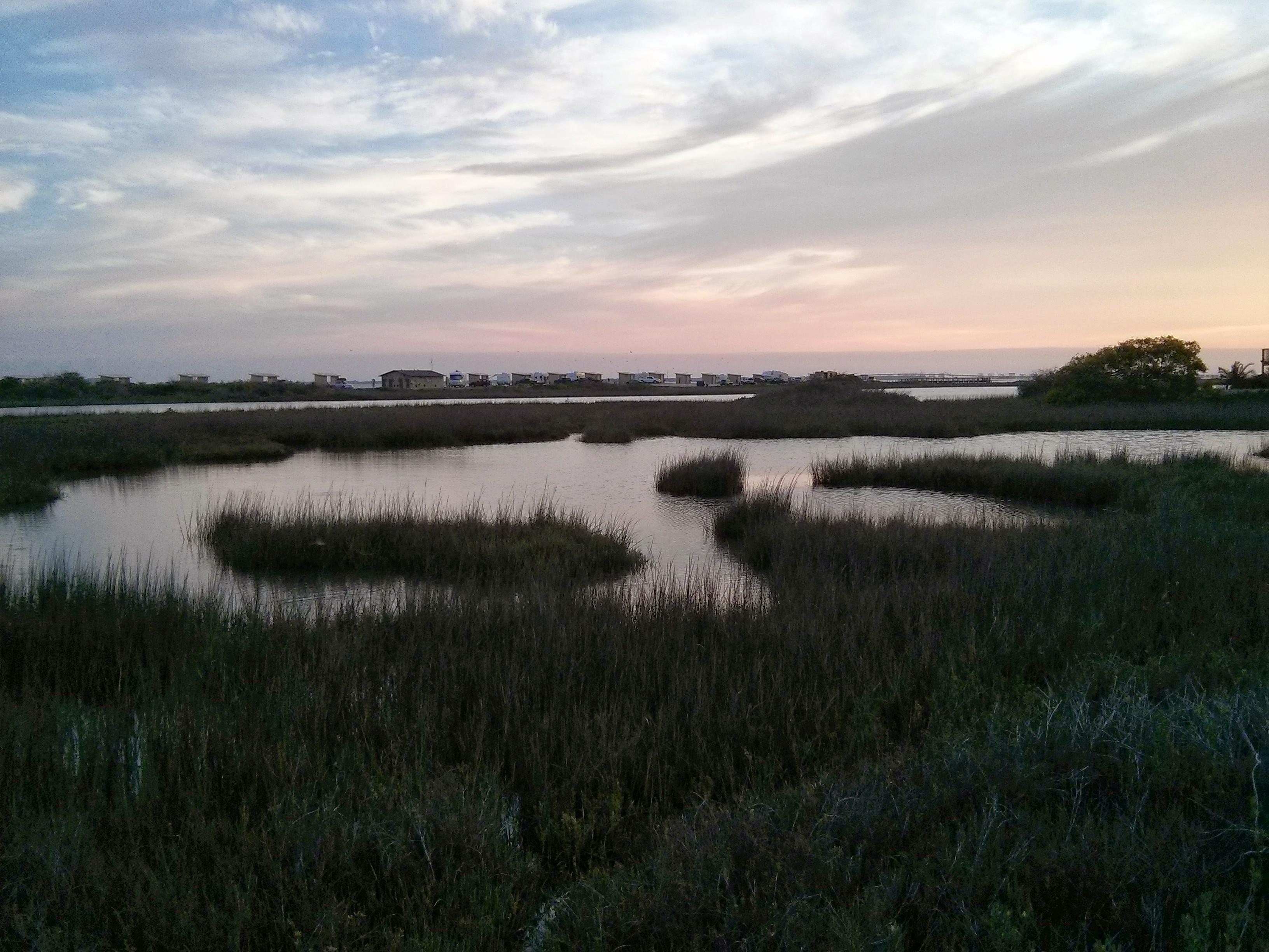
Goose Island State Park
Topographic Map of Cochran Ln, Rockport, TX, USA
Find elevation by address:

Places near Cochran Ln, Rockport, TX, USA:
1800 Picton Ln
2009 Glass Ave
2321 Harbor Dr
2319 Lady Claire St
1418 Dana Dr
1218 Enterprise Blvd
1717 Bay Shore Dr
103 Oaktree Dr
305 Cherry Hills Dr
203 Timber Ln Loop
164 Heron Oaks
218 Champions Dr
604 Henderson St
12 St Andrews Pl
318 S 6th St
123 Peachtree Dr
308 S 6th St
310 S 4th St
202 Highlands St
104 Plantation Dr
Recent Searches:
- Elevation of East W.T. Harris Boulevard, E W.T. Harris Blvd, Charlotte, NC, USA
- Elevation of West Sugar Creek, Charlotte, NC, USA
- Elevation of Wayland, NY, USA
- Elevation of Steadfast Ct, Daphne, AL, USA
- Elevation of Lagasgasan, X+CQH, Tiaong, Quezon, Philippines
- Elevation of Rojo Ct, Atascadero, CA, USA
- Elevation of Flagstaff Drive, Flagstaff Dr, North Carolina, USA
- Elevation of Avery Ln, Lakeland, FL, USA
- Elevation of Woolwine, VA, USA
- Elevation of Lumagwas Diversified Farmers Multi-Purpose Cooperative, Lumagwas, Adtuyon, RV32+MH7, Pangantucan, Bukidnon, Philippines