Elevation of Coburn Rd, Paonia, CO, USA
Location: United States > Colorado > Delta County > Paonia >
Longitude: -107.636
Latitude: 38.8467
Elevation: 1690m / 5545feet
Barometric Pressure: 83KPa
Elevation Map:
Satellite Map:
Related Photos:

5/365
Bedroom View
View from the center of the lot back.
Road to Paonia.jpg

Highway 92 - Delta County, CO

View of #Mount #Lamborn (#Elevation 11,402 ft (3,475 m)) #shrouded in #clouds as seen from Hotchkiss #Colorado Cemetery. The #Hotchkiss #Homestead, established in #1886 can be seen in the foreground.

Mountain View Bible Church
Needle Rock
Spring water time

Near Crawford, CO

Slick Picnic

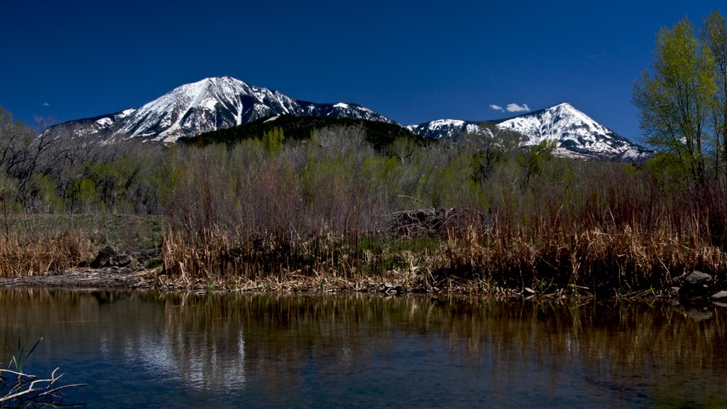
Sunset Reflection
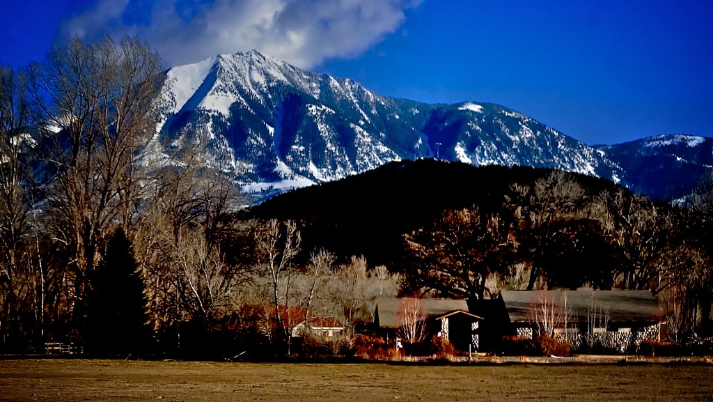
The Front Yard
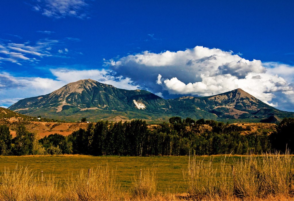
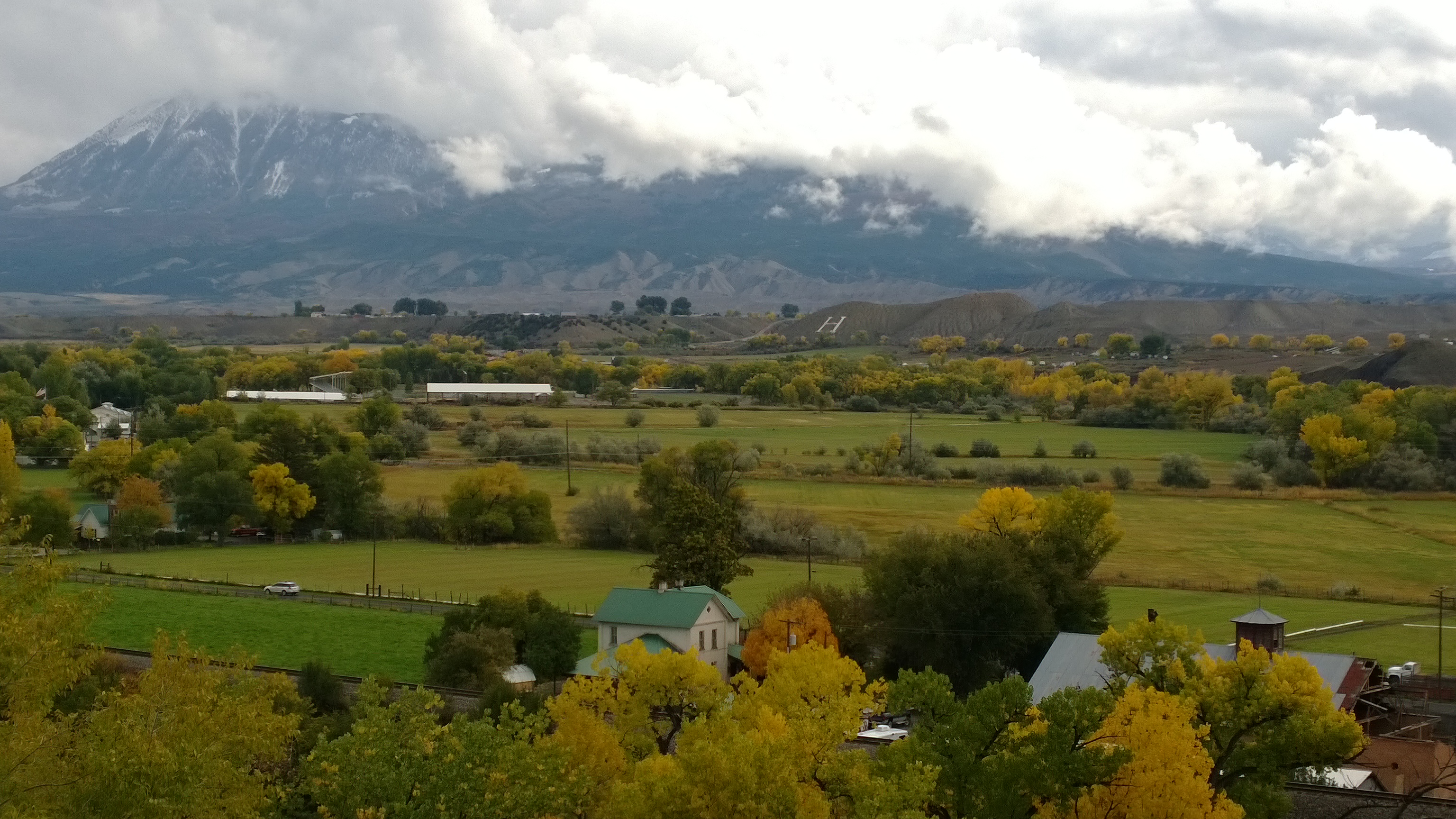
Pictures Near Paonia Colorado - 41
Pictures Near Paonia Colorado - 32
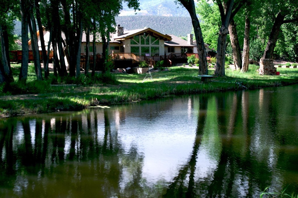
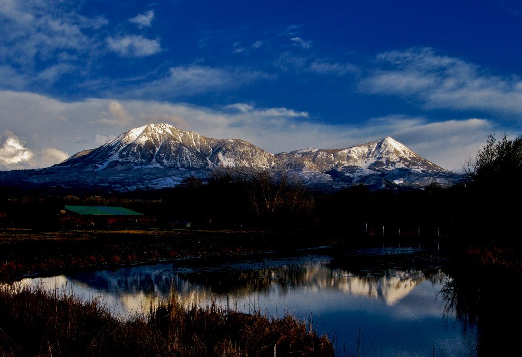
Refections of the House

6tag_151013-115735

6tag_151013-115735

WP_20131015_11_40_57_Pro.jpg

Pictures Near Paonia Colorado - 38
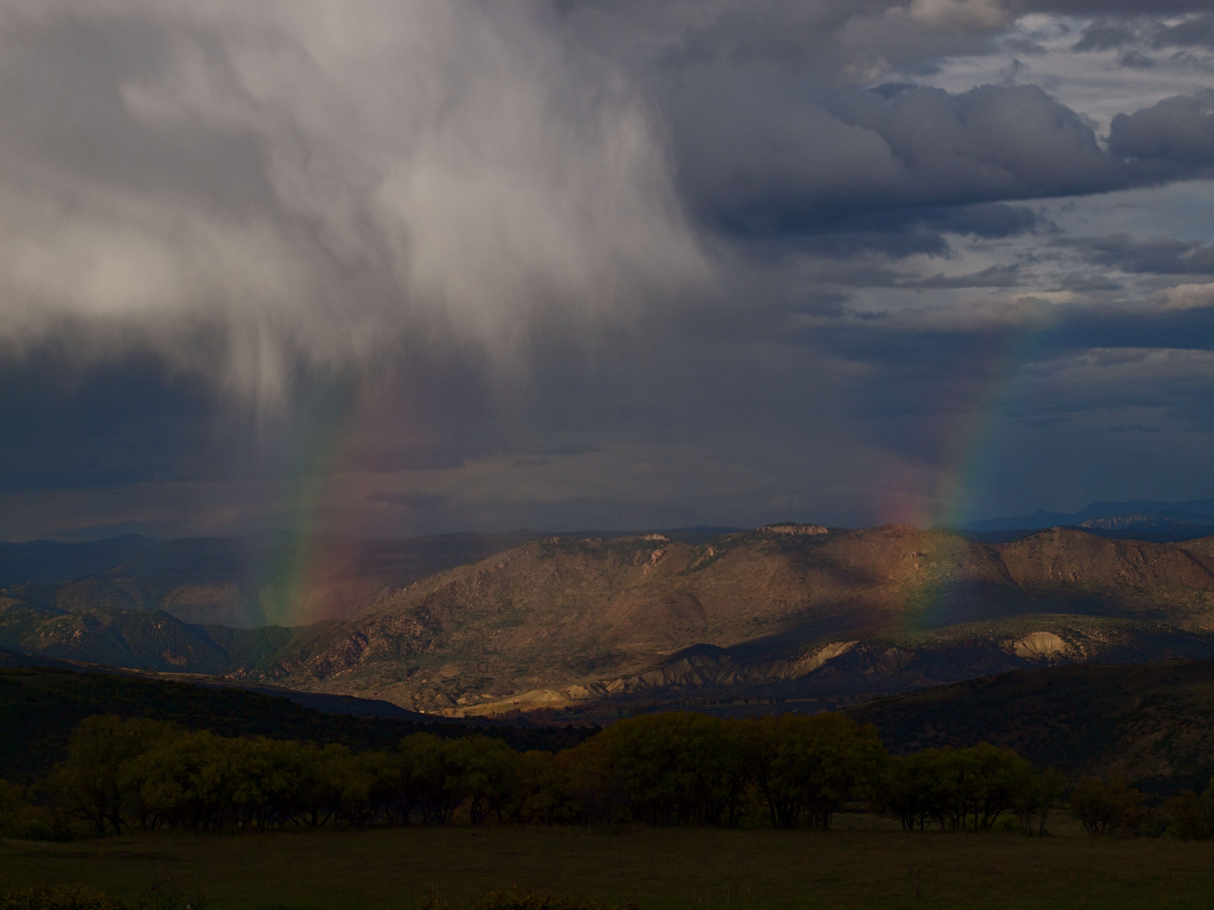
Raining Rainbows

Glisten or Listen
WP_20131015_11_40_57_Pro.jpg
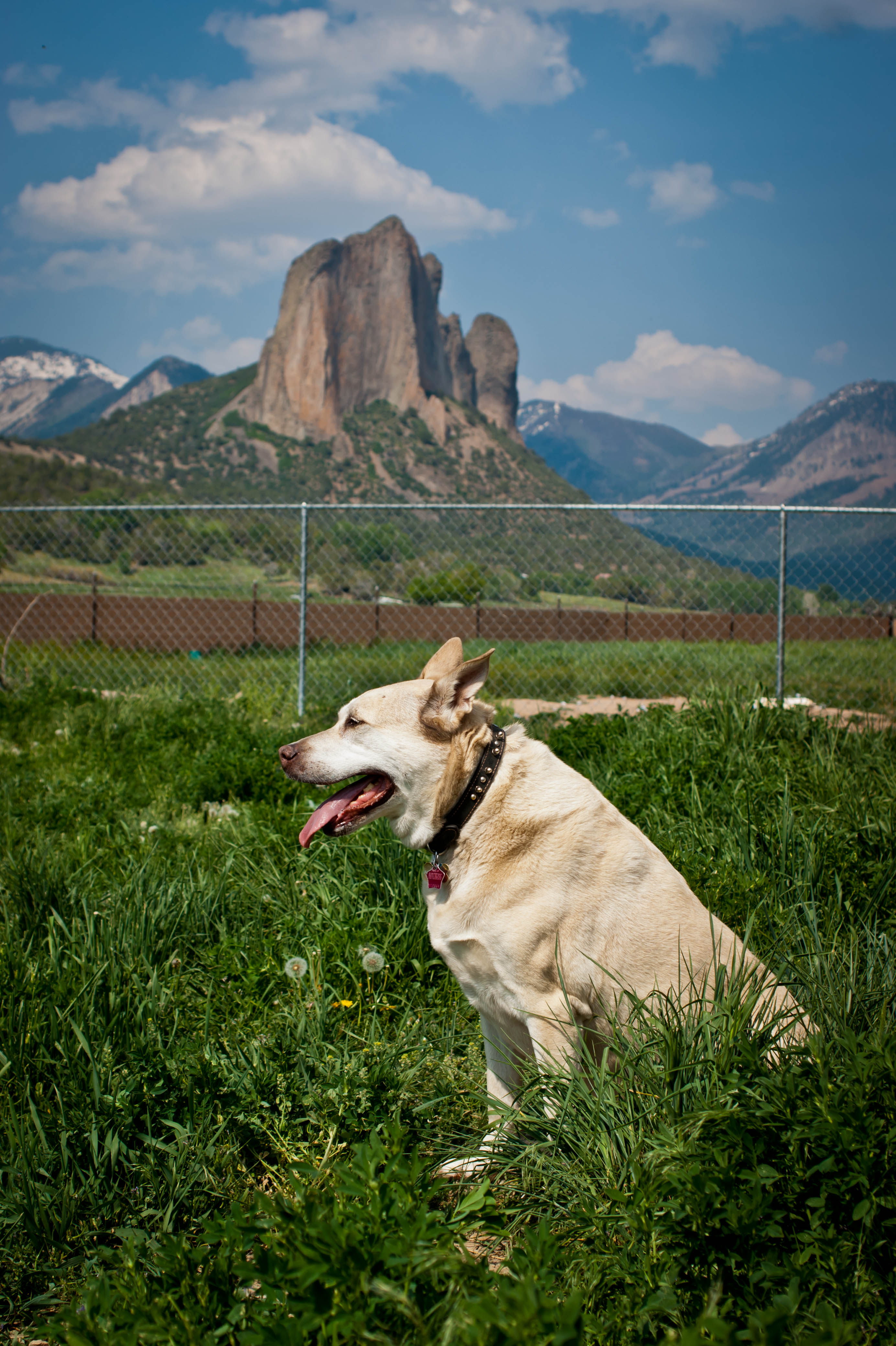
Sandy at Black Canyon Animal Sanctuary

Colorado Ranch Entry
Crawford, CO
Topographic Map of Coburn Rd, Paonia, CO, USA
Find elevation by address:

Places near Coburn Rd, Paonia, CO, USA:
12123 Slate Point Rd
856 Short Rd
504 Juniper St
Hotchkiss
6266 Rolling Hills Rd
38504 Yeoman Rd
Owl Lane
10024 3300 Rd
33052 J Rd
41829 Cottonwood Creek Rd
CO-92, Crawford, CO, USA
31505 Co-92
31490 Co-92
Crawford
39881 Fruitland Mesa Rd
32551 Co-92
30538 North Rd
Rd, Hotchkiss, CO, USA
30762 L Rd
30758 L Rd
Recent Searches:
- Elevation of Corso Fratelli Cairoli, 35, Macerata MC, Italy
- Elevation of Tallevast Rd, Sarasota, FL, USA
- Elevation of 4th St E, Sonoma, CA, USA
- Elevation of Black Hollow Rd, Pennsdale, PA, USA
- Elevation of Oakland Ave, Williamsport, PA, USA
- Elevation of Pedrógão Grande, Portugal
- Elevation of Klee Dr, Martinsburg, WV, USA
- Elevation of Via Roma, Pieranica CR, Italy
- Elevation of Tavkvetili Mountain, Georgia
- Elevation of Hartfords Bluff Cir, Mt Pleasant, SC, USA