Elevation of Coastal Rd, Brooksville, ME, USA
Location: United States > Maine > Hancock County > Brooksville >
Longitude: -68.750046
Latitude: 44.364451
Elevation: 68m / 223feet
Barometric Pressure: 101KPa
Elevation Map:
Satellite Map:
Related Photos:

Hardhead Island in northeastern Penobscot Bay, Maine

R_20090831181356_162-Edit
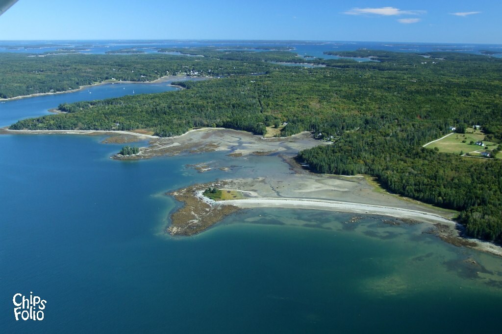
Aerial View of Deer Isle, Maine

Aerial View (1) of the Deer Isle - Sedgwick Bridge
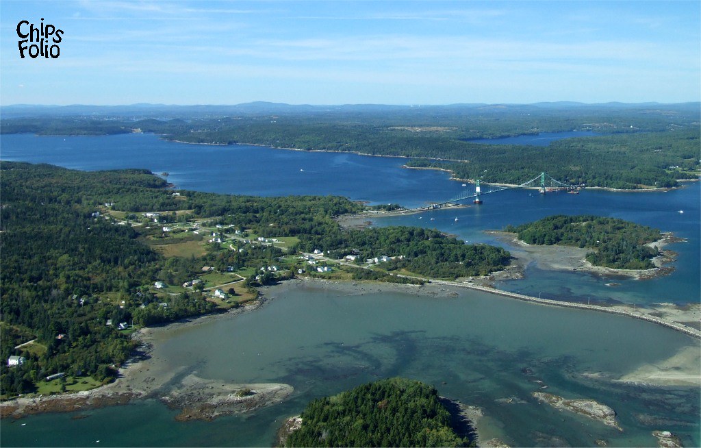
Aerial View of Little Deer Isle and the Deer Isle - Sedgwick Bridge

The Camden Hills
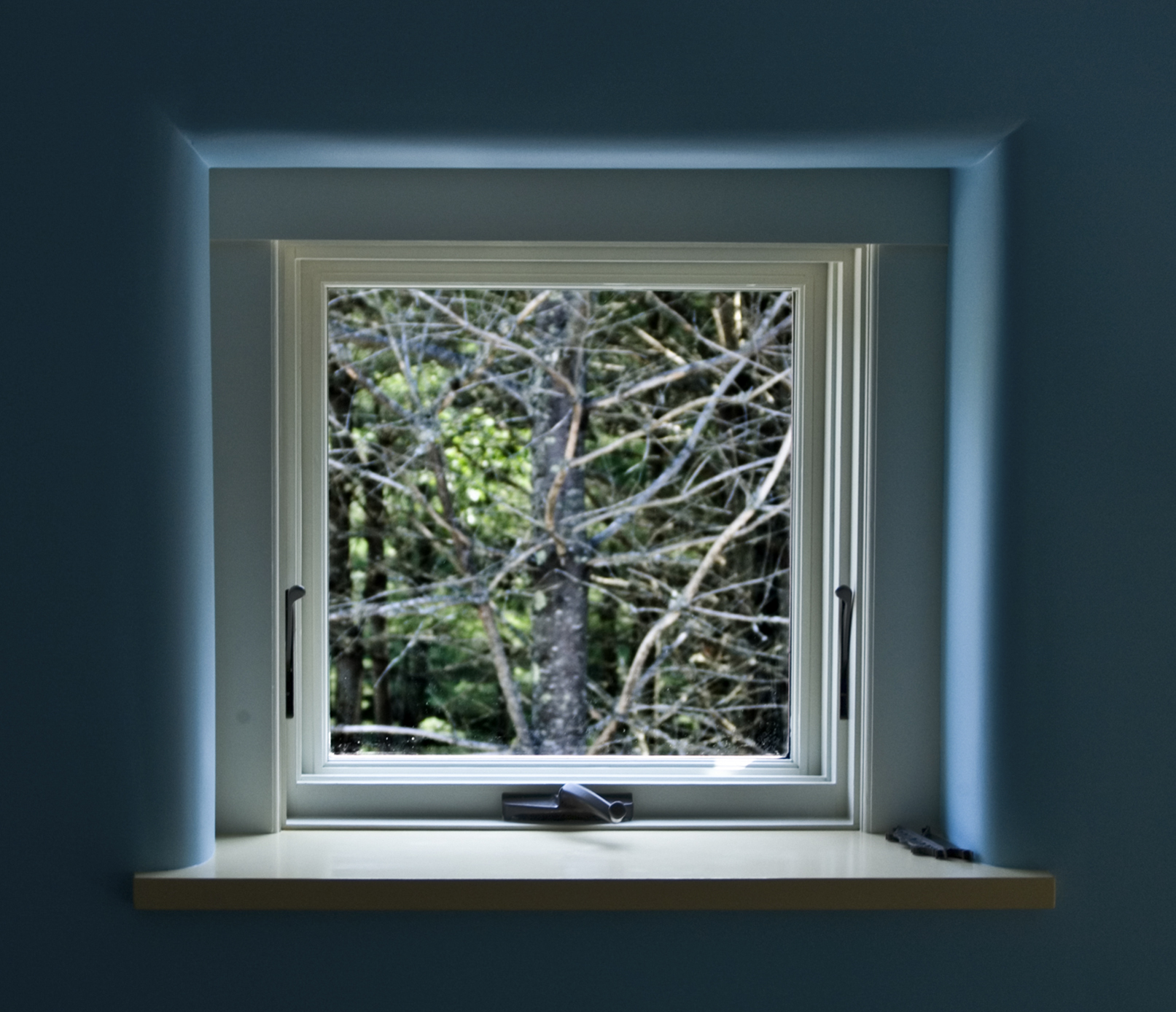
Window View 2
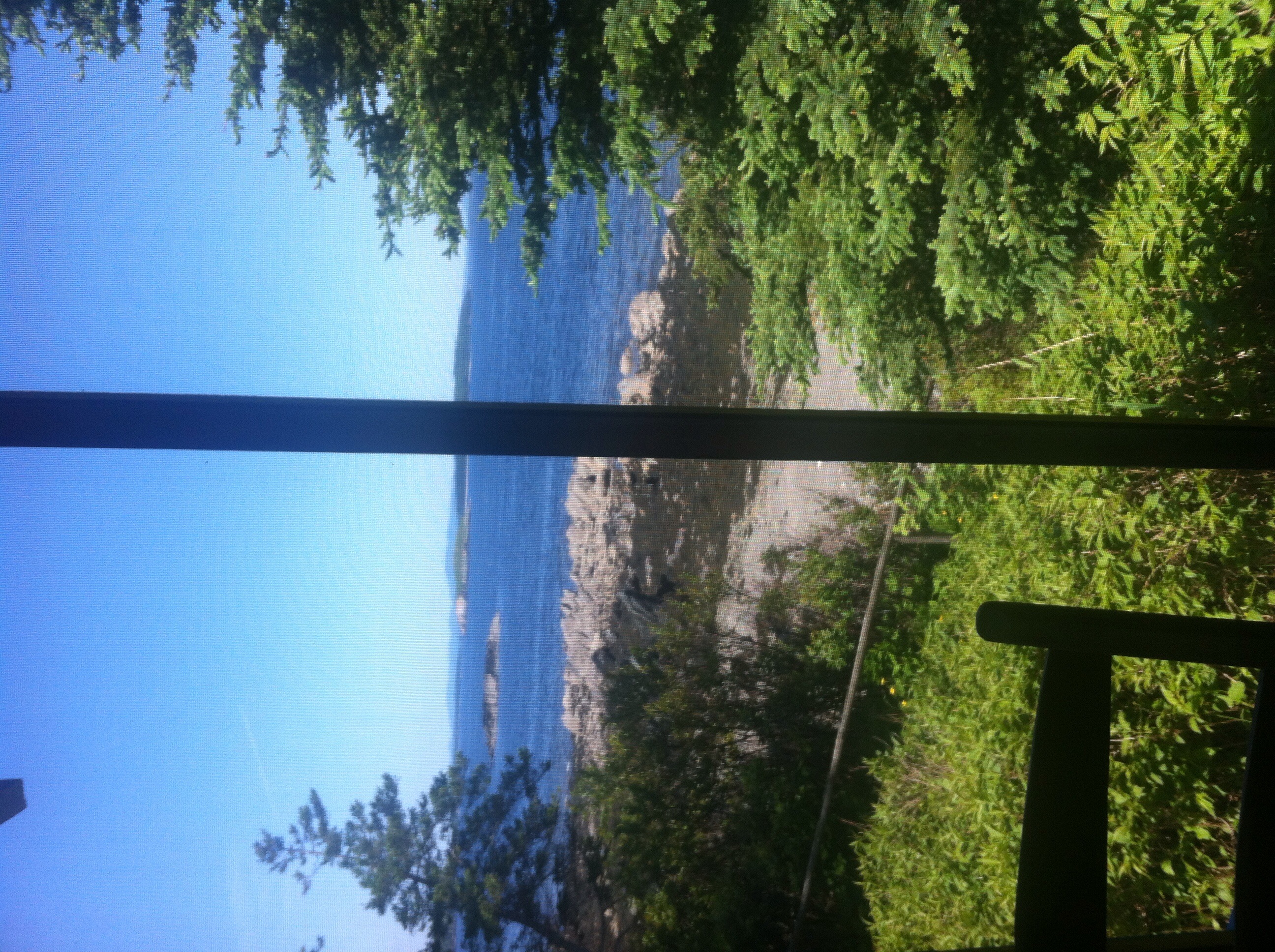
the view from the sleeping porch
View from cabin at Hiram Blake Camp

View From A Hill

Sausage at the Fair
View of Bagaduce River in Castine
The view of our cottage from the beach

Post-Xmas fun. Just up the road sits some of the best sledding. Just below the summit with a view that goes on forever.

GSA Graduates 3D Cross View
Autumn View from Caterpillar Hill

Brooksville Events 3d Cross Eye View

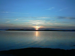
view from ledge in front of Thresholds
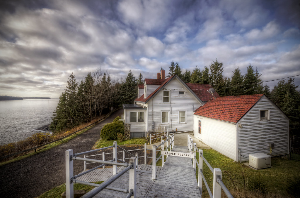
Keeper's Access
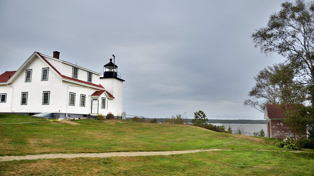
Fort Point Lighthouse, Maine
View from the Good Life Center

British Canal
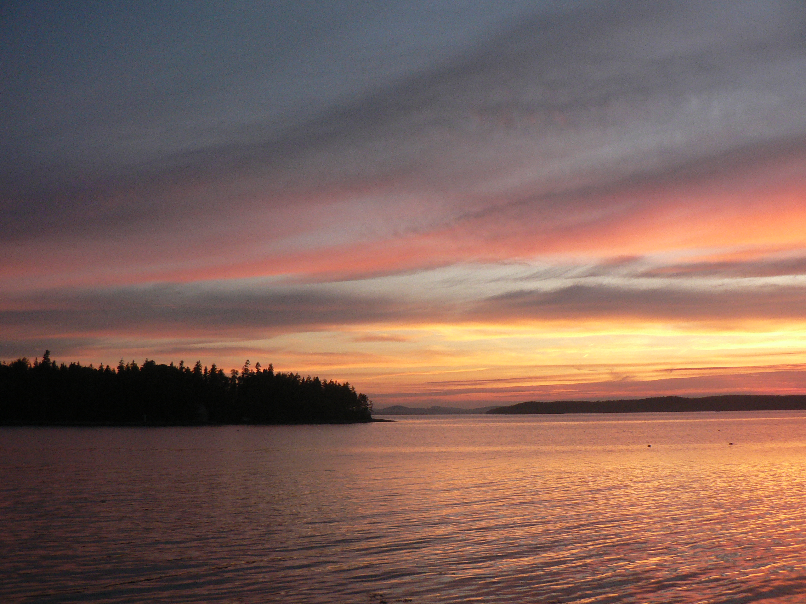
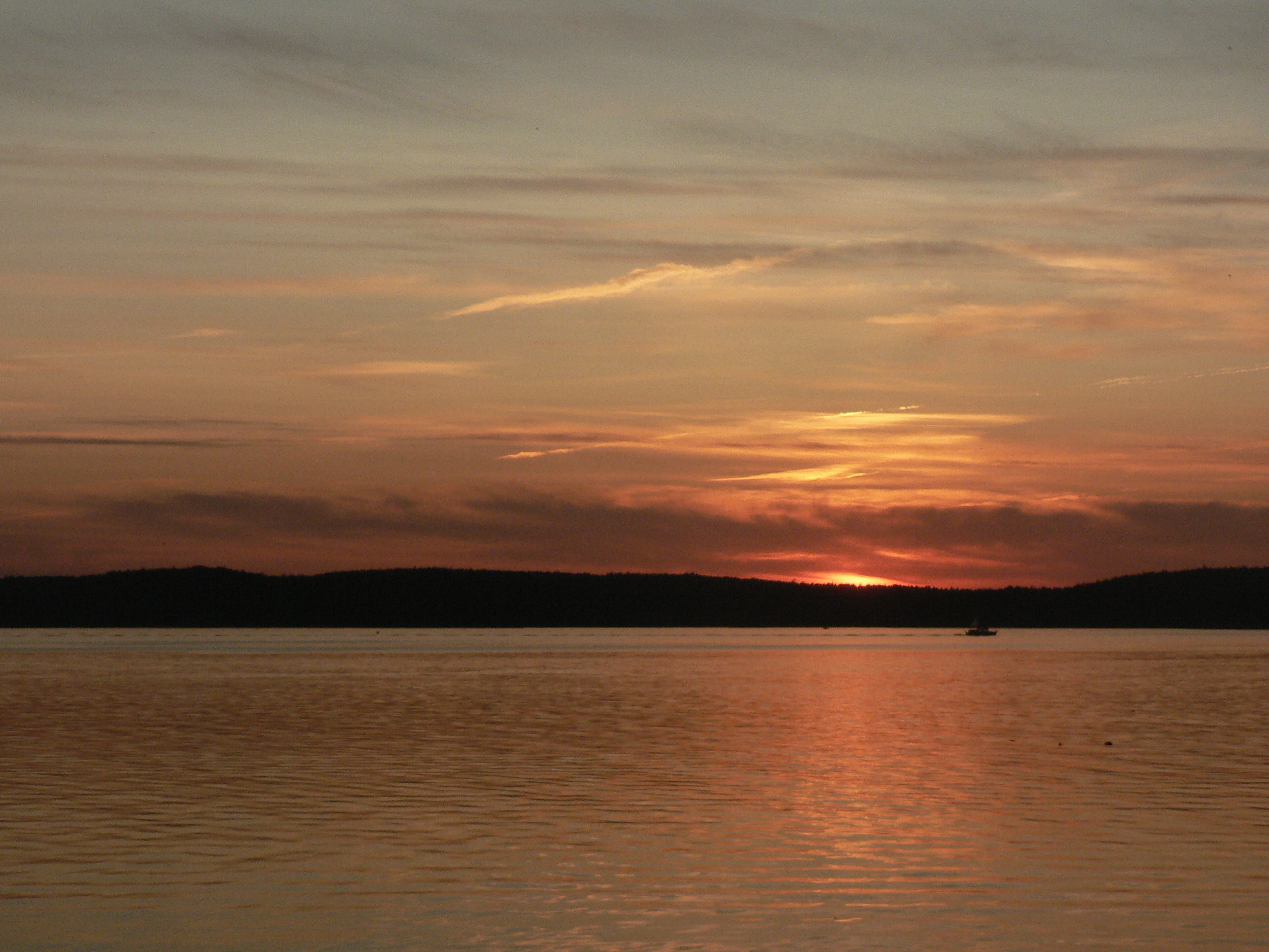
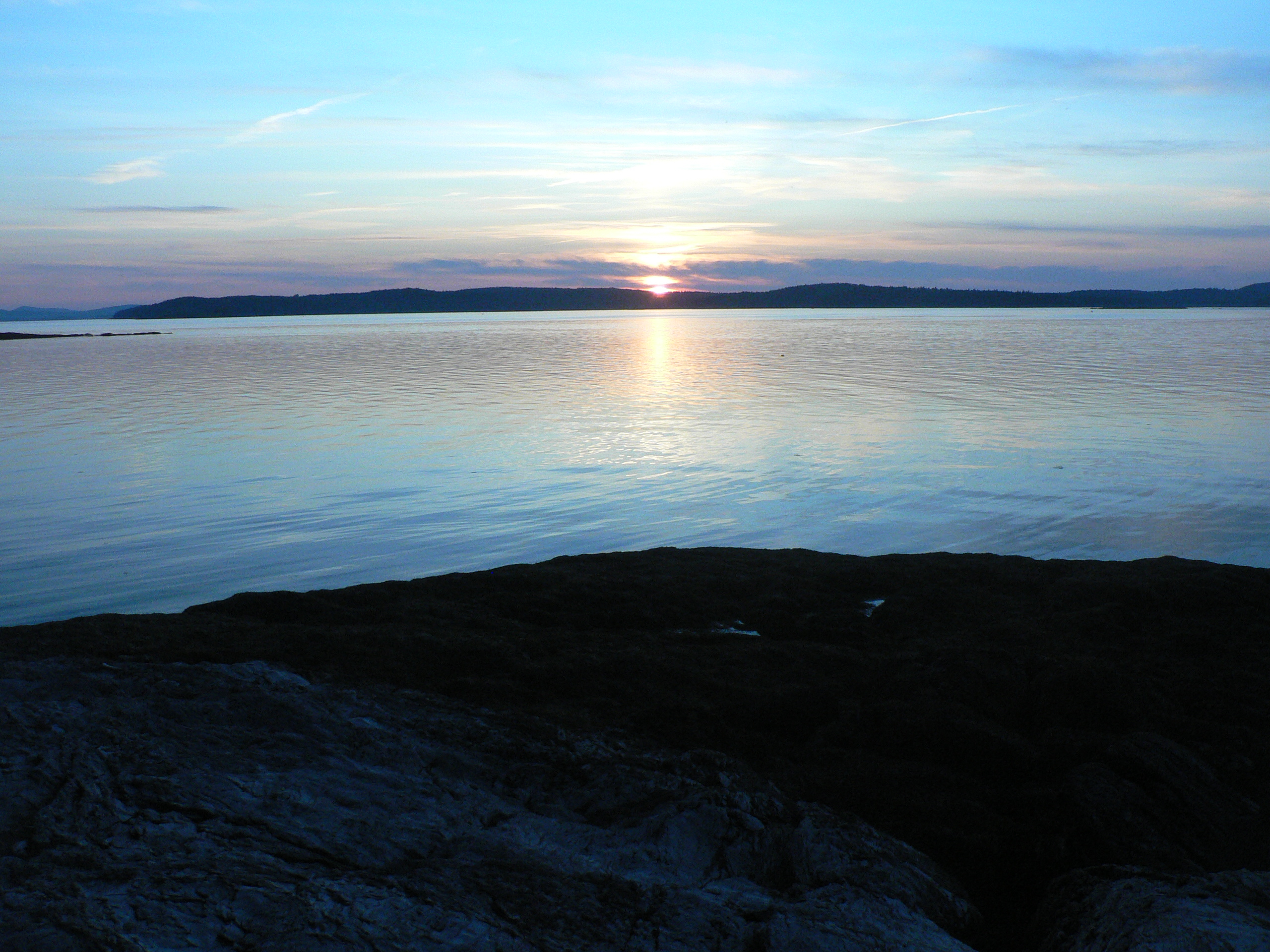
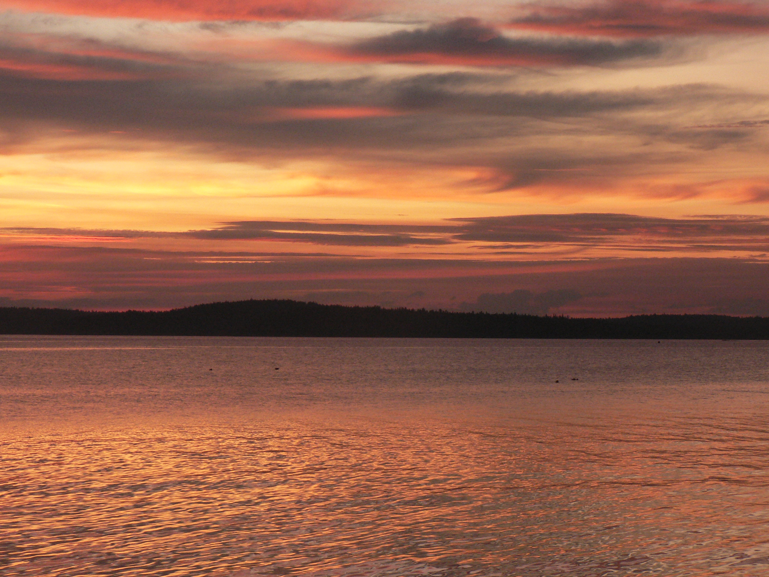
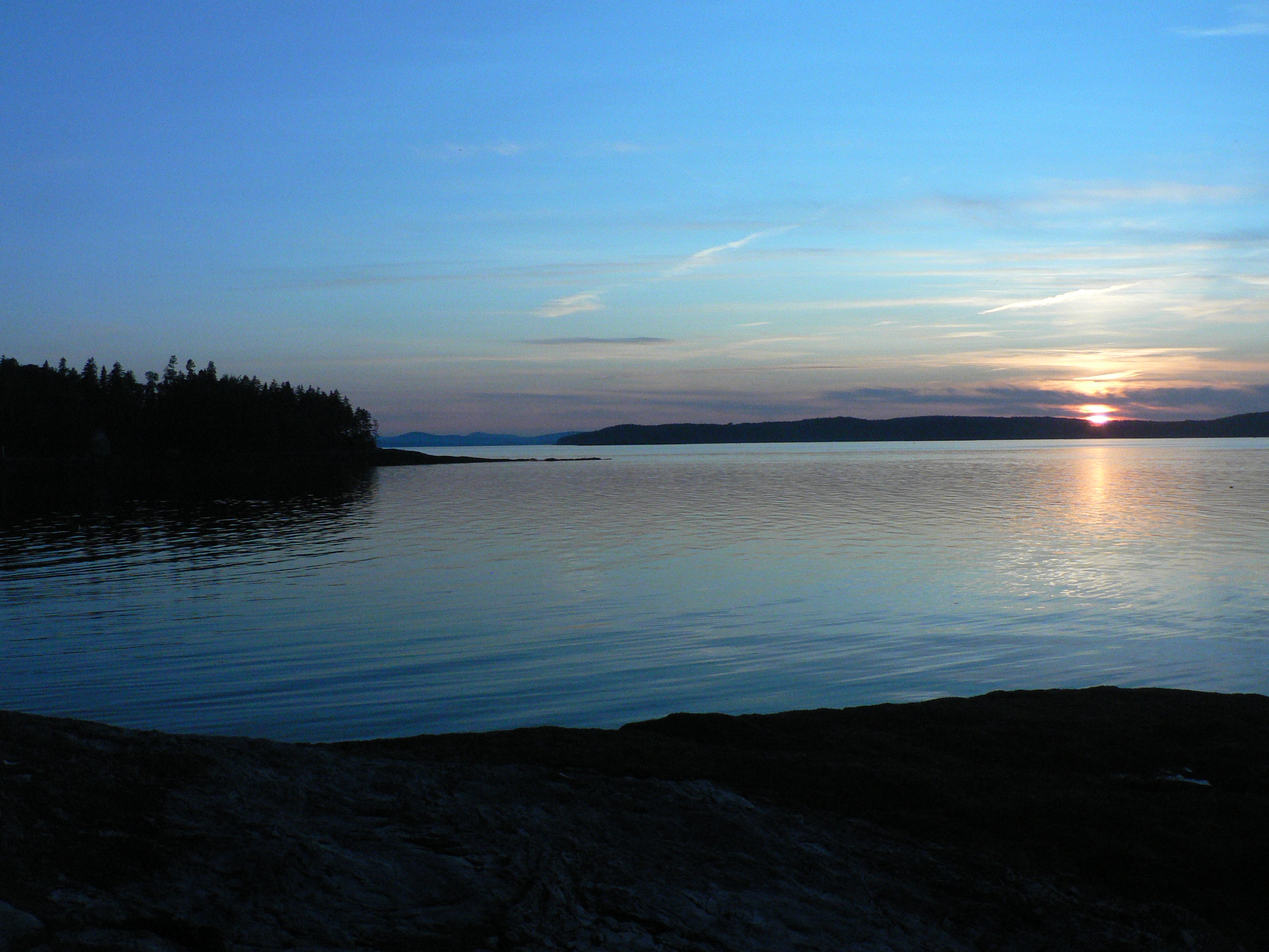
Thresholds sunset - Little Deer Isle ME 20090721 066
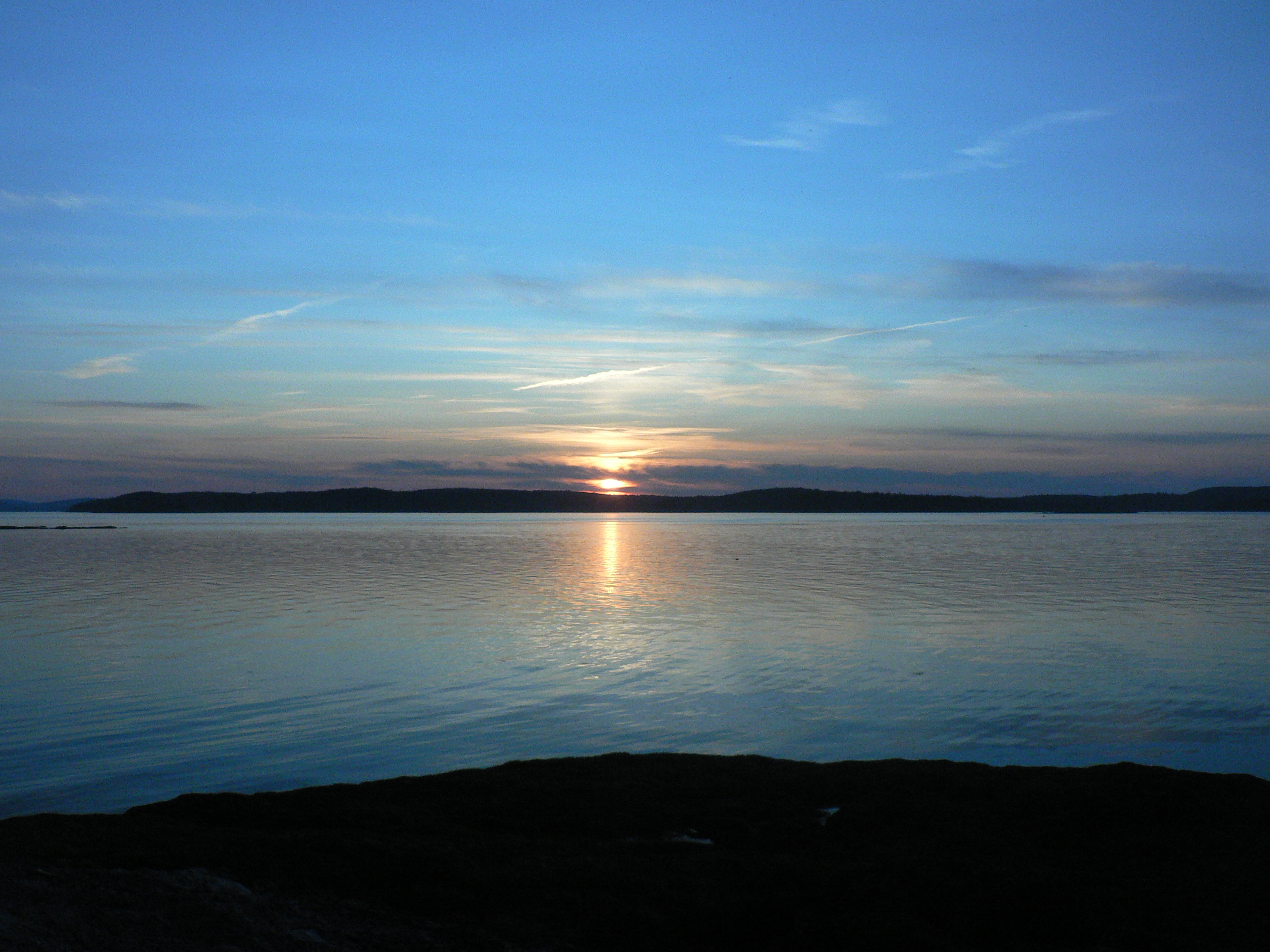
Thresholds sunset - Little Deer Isle ME 20090721 064
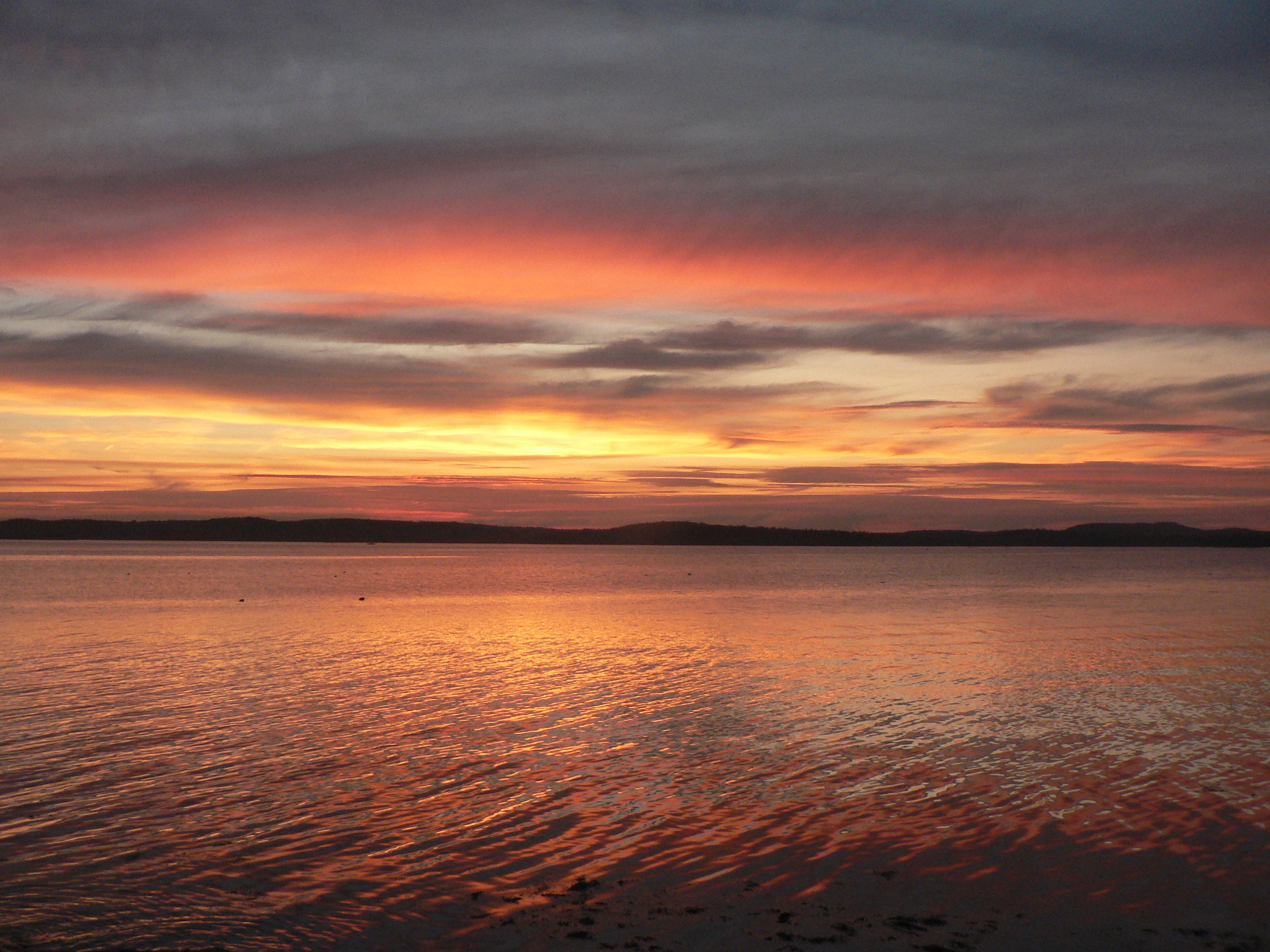
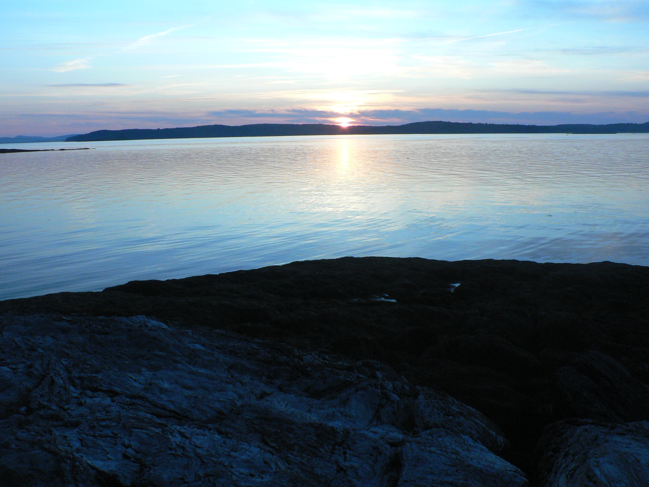
Thresholds sunset - Little Deer Isle ME 20090711 036
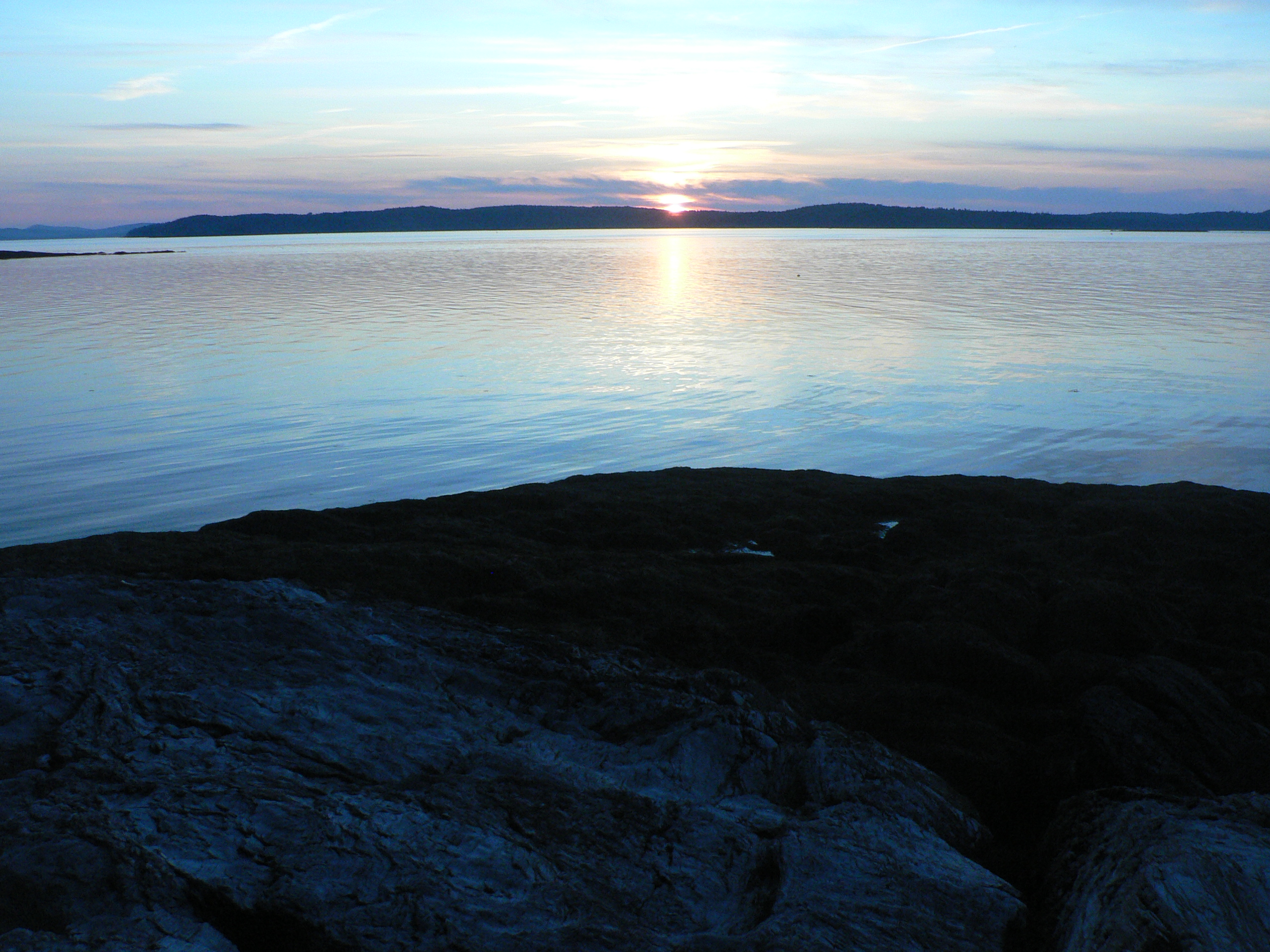
Thresholds sunset - Little Deer Isle ME 20090711 051
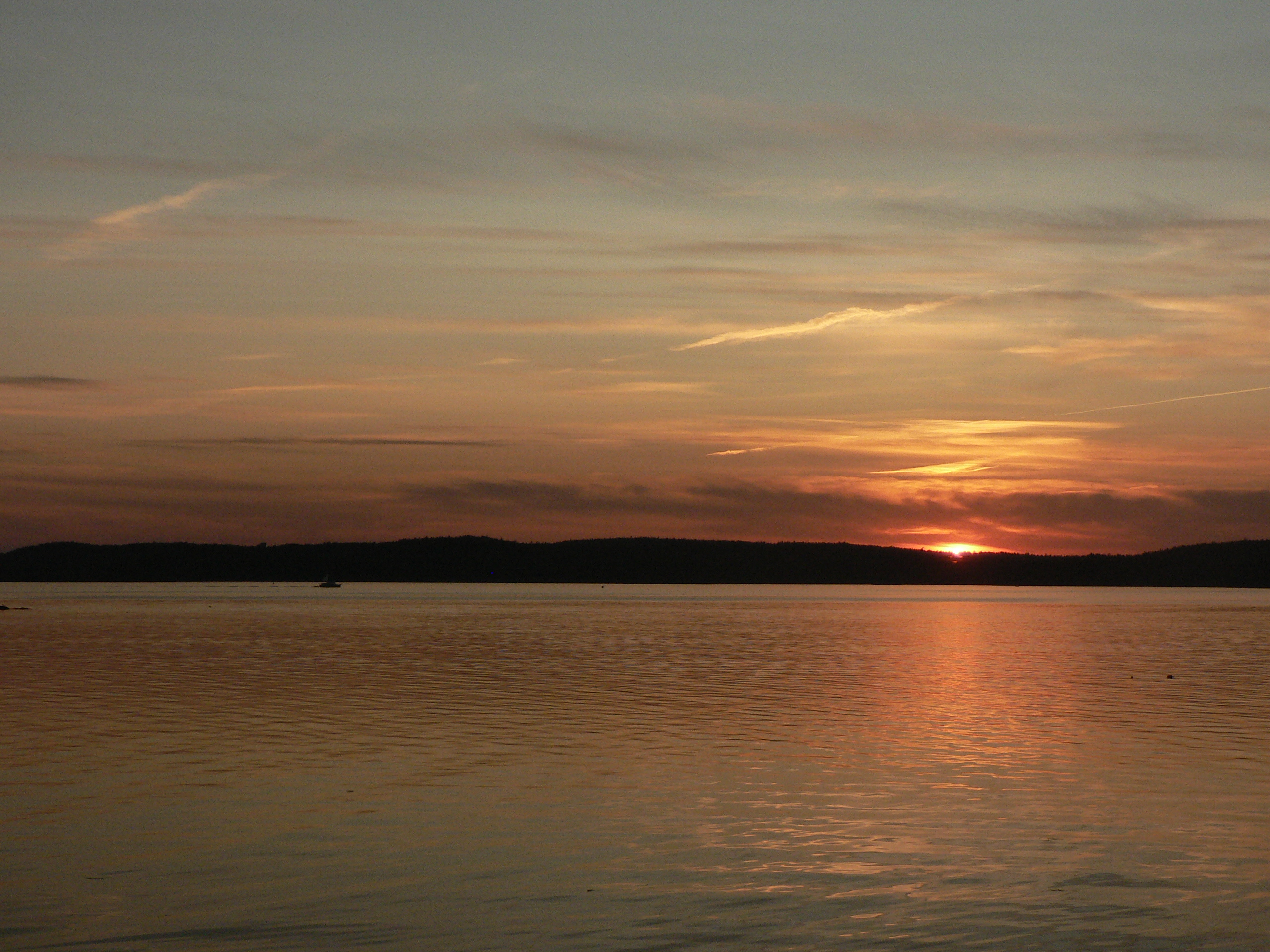
Thresholds sunset - Little Deer Isle ME 20090711 050
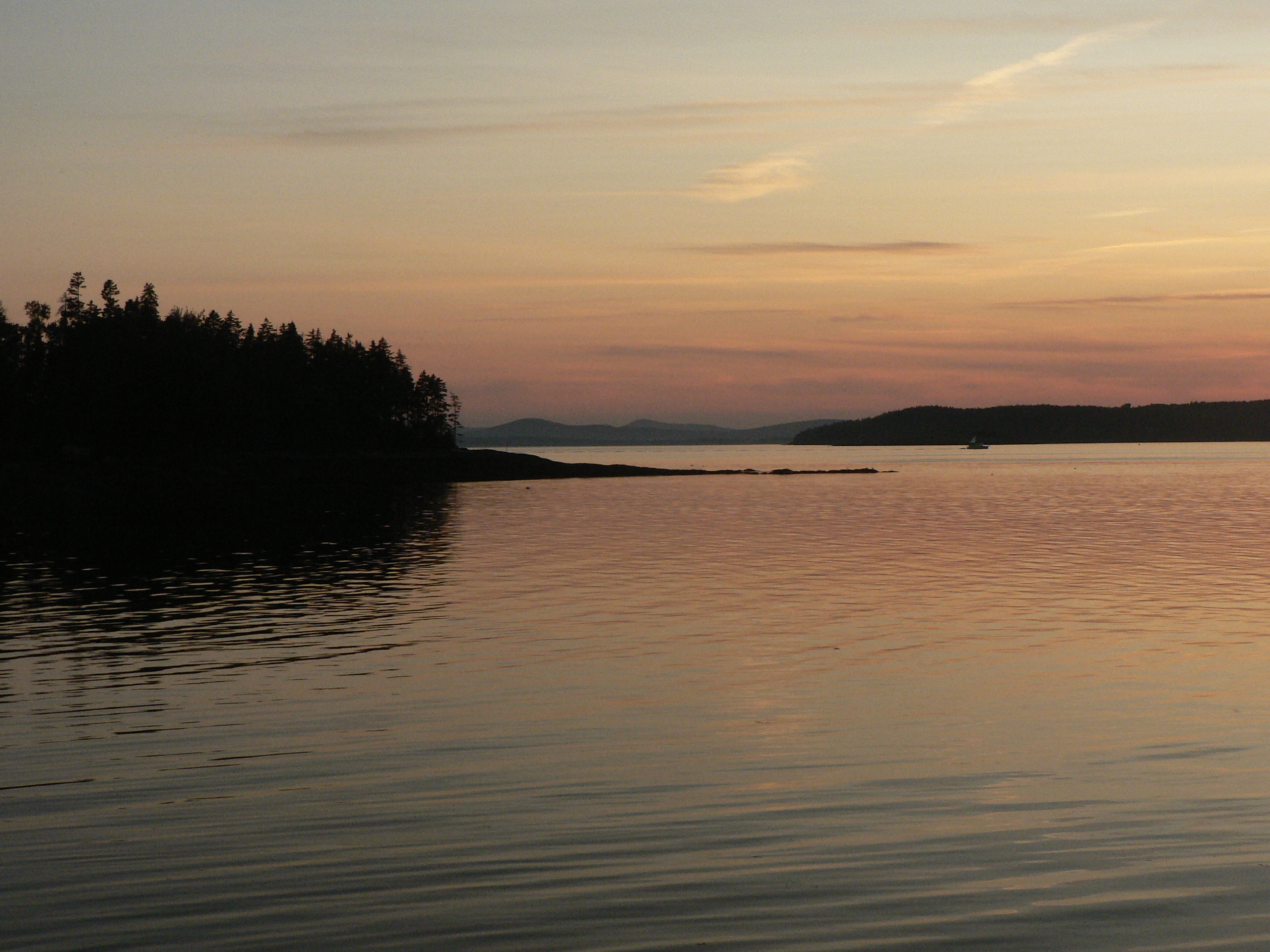
Thresholds sunset - Little Deer Isle ME 20090711 034
Thresholds sunset - Little Deer Isle ME 20090711 055
Thresholds sunset - Little Deer Isle ME 20090711 035

Thresholds sunset - Little Deer Isle ME 20090711 054
Thresholds sunset - Little Deer Isle ME 20090711 037

Thresholds sunset - Little Deer Isle ME 20090711 041
Thresholds sunset - Little Deer Isle ME 20090711 038
Thresholds sunset - Little Deer Isle ME 20090721 077

Thresholds sunset - Little Deer Isle ME 20090711 039
Thresholds sunset - Little Deer Isle ME 20090711 040
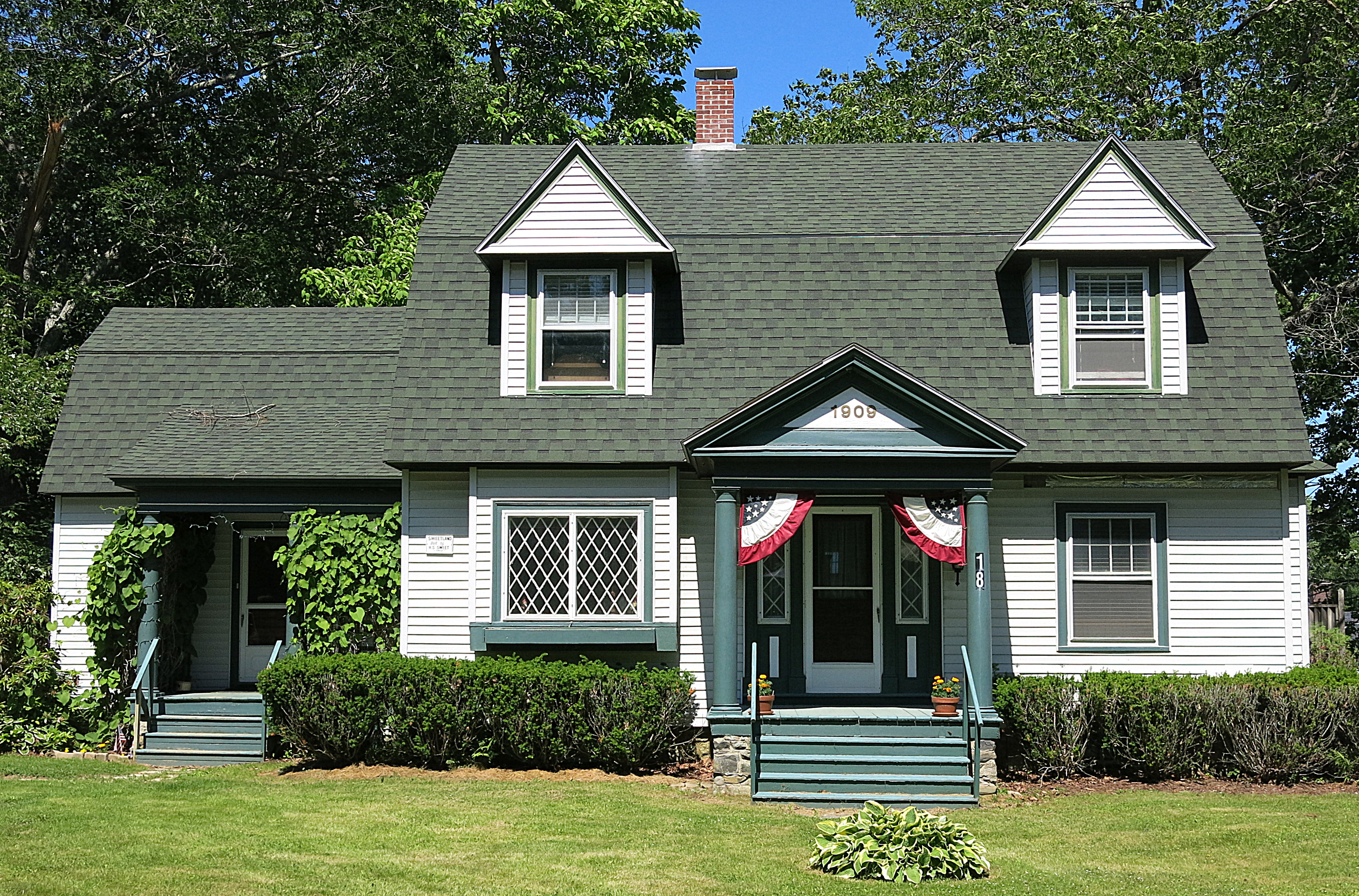
1909: A house in Blue Hill, Maine, USA
Van Buren's - Little Deer Isle ME 20090714091
Van Buren's - Little Deer Isle ME 20090714010
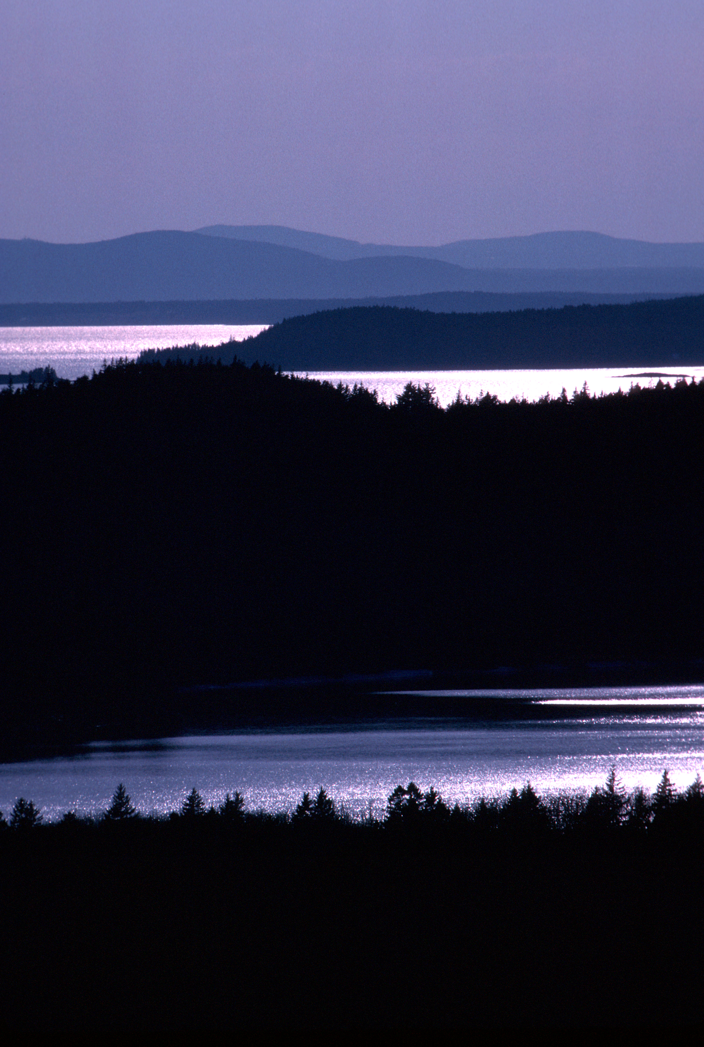
Camden Hills From Catapiller Hill
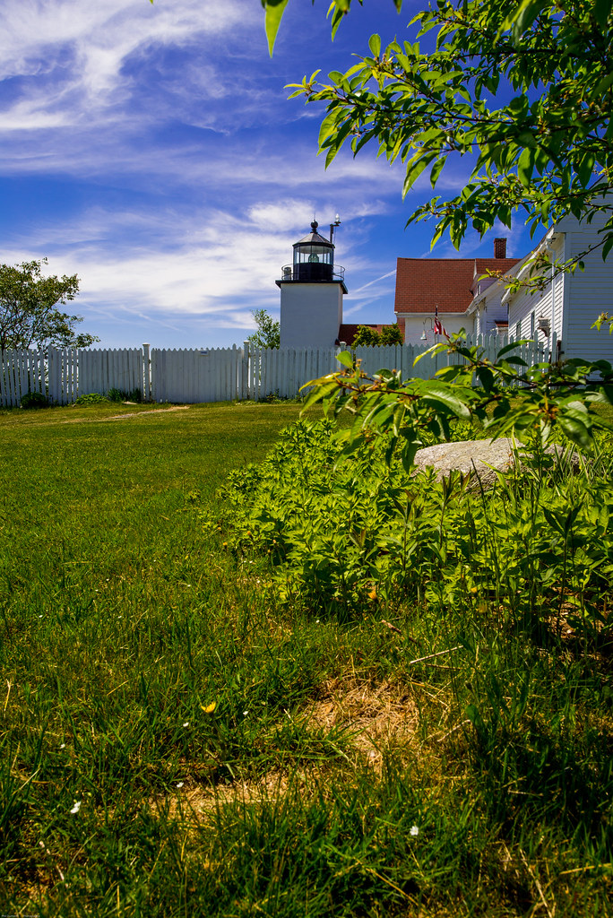
Fort Point Light House.
Topographic Map of Coastal Rd, Brooksville, ME, USA
Find elevation by address:

Places near Coastal Rd, Brooksville, ME, USA:
706 Coastal Rd
1001 Coastal Rd
15 Timothy Ln
186 Varnum Rd
310 Cape Rosier Rd
706 Coastal Rd
494 Cape Rosier Rd
86 Wharf Rd
86 Wharf Rd
86 Wharf Rd
86 Wharf Rd
494 Cape Rosier Rd
554 Cape Rosier Rd
68 Reynolds Rd
68 Flatlander Ave
63 Dog Island Rd
83 Dog Island Rd
80 Moontide
Indian Bar Rd, Harborside, ME, USA
5 Perkins St
Recent Searches:
- Elevation of 62 Abbey St, Marshfield, MA, USA
- Elevation of Fernwood, Bradenton, FL, USA
- Elevation of Felindre, Swansea SA5 7LU, UK
- Elevation of Leyte Industrial Development Estate, Isabel, Leyte, Philippines
- Elevation of W Granada St, Tampa, FL, USA
- Elevation of Pykes Down, Ivybridge PL21 0BY, UK
- Elevation of Jalan Senandin, Lutong, Miri, Sarawak, Malaysia
- Elevation of Bilohirs'k
- Elevation of 30 Oak Lawn Dr, Barkhamsted, CT, USA
- Elevation of Luther Road, Luther Rd, Auburn, CA, USA