Elevation of Coal River Rd, Arnett, WV, USA
Location: United States > West Virginia > Raleigh County > > Arnett >
Longitude: -81.40945
Latitude: 37.825156
Elevation: 517m / 1696feet
Barometric Pressure: 95KPa
Elevation Map:
Satellite Map:
Related Photos:
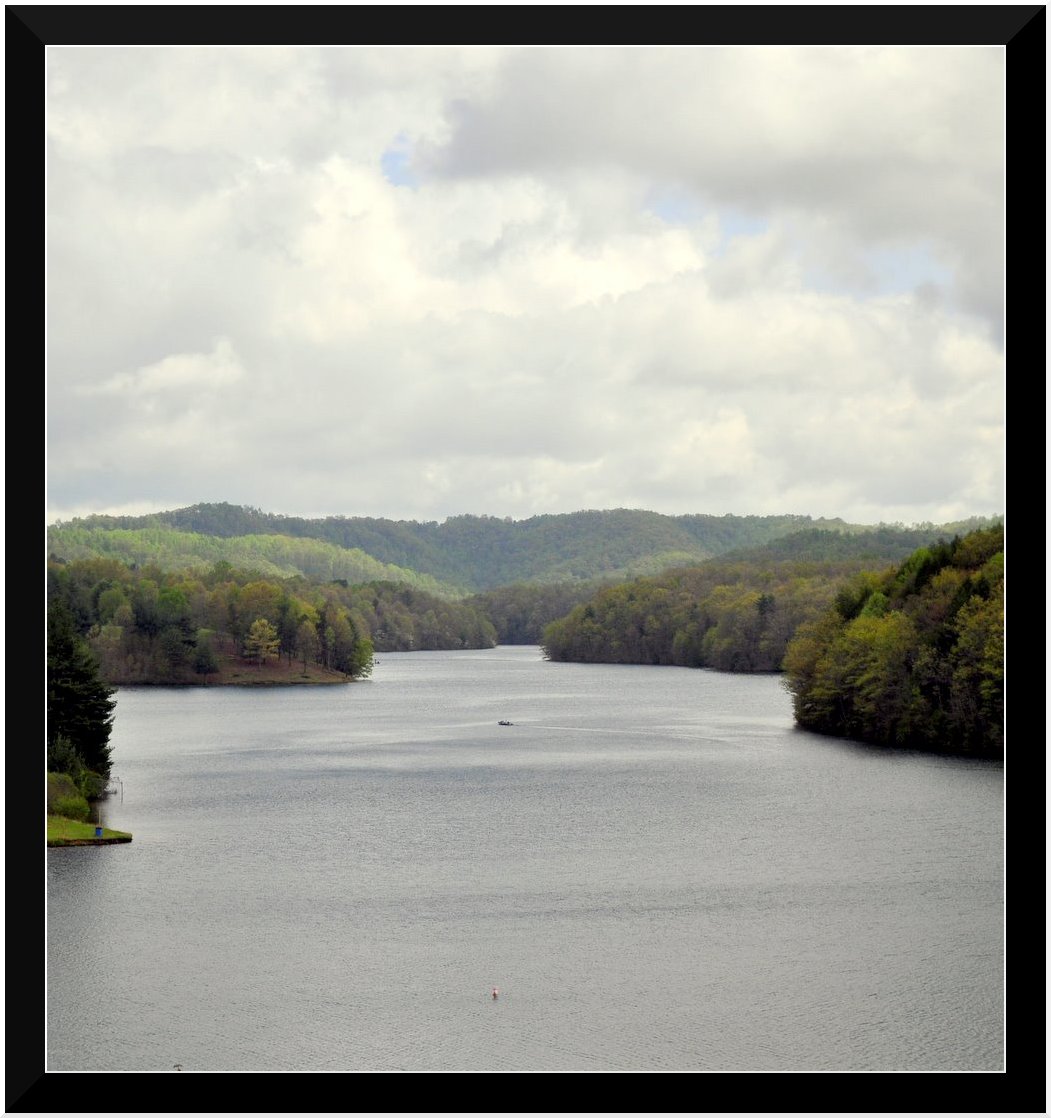
Lake Stephens
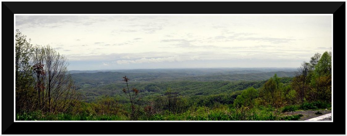
Bolt Mtn Overlook
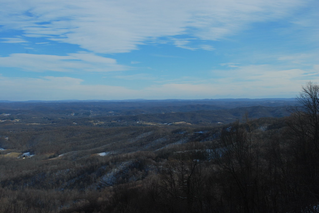
Marsh Fork Valley

Marsh Fork Valley
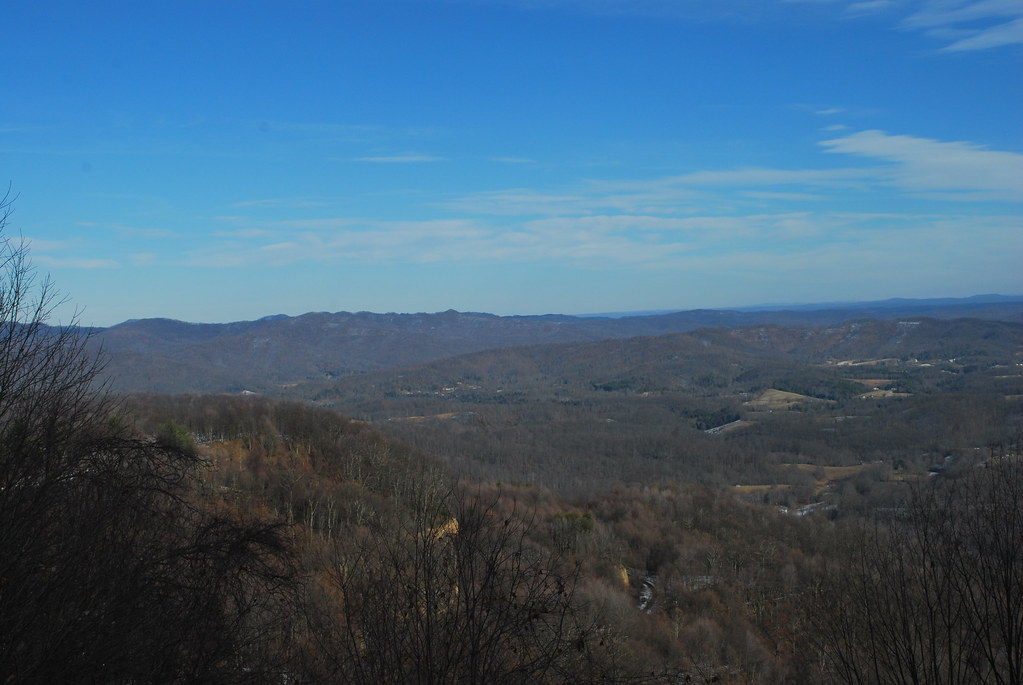
Marsh Fork Valley
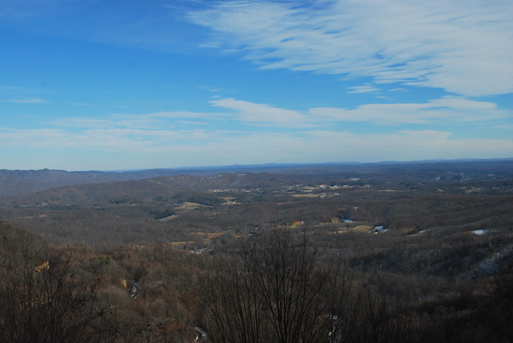
Marsh Fork Valley

Marsh Fork Valley
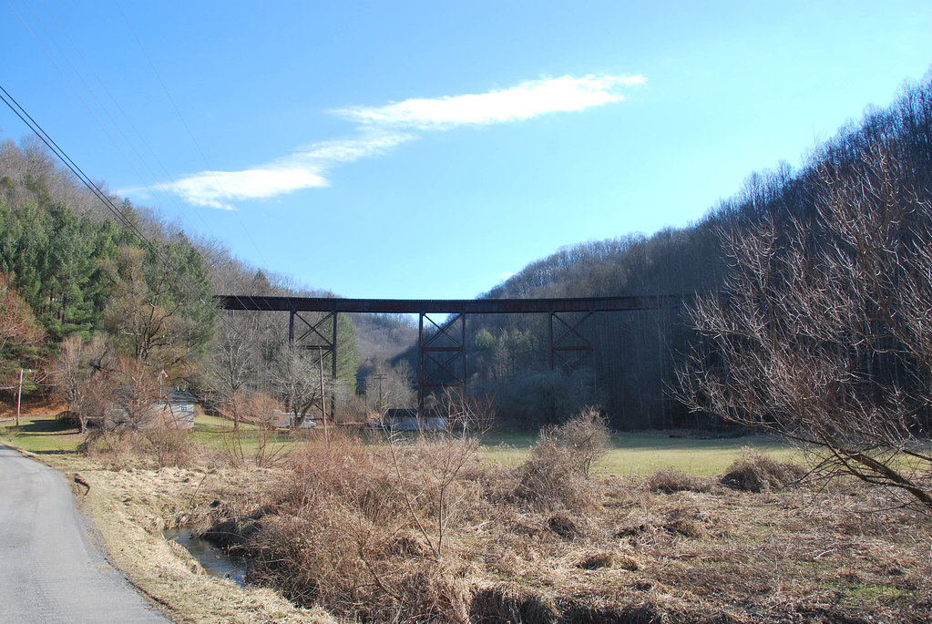
McGraws Trestle
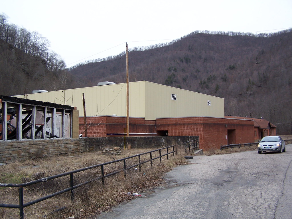
Marsh Fork High School Image 11 2-24-2007 Photo

I really wish i had my D90 for this shot.
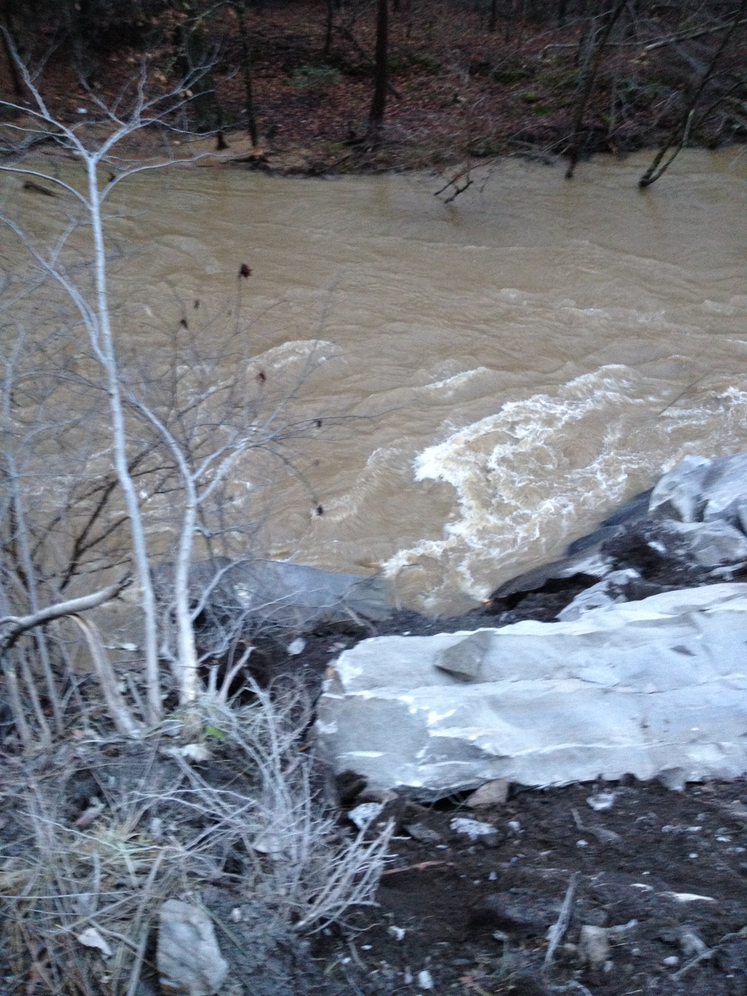
WV 3 Rockslide
WV 3 Rockslide

WV 3 Rockslide
WV 3 Rockslide

CEMENTERIO HARPER FERRY
Topographic Map of Coal River Rd, Arnett, WV, USA
Find elevation by address:

Places near Coal River Rd, Arnett, WV, USA:
Arnett
Webbs Fork Rd, Arnett, WV, USA
406 Saxon Rd
Rock Creek
Coal River Rd, Rock Creek, WV, USA
2, WV, USA
Lower Sandlick Rd, Glen Daniel, WV, USA
734 Horsecreek Rd
Naoma
White Oak Creek Rd, Artie, WV, USA
Kings Ct, Naoma, WV, USA
Sweeneysburg Rd, Mt Hope, WV, USA
Packsville Marfork Rd, Naoma, WV, USA
Circleview Dr, Beckley, WV, USA
Paint Creek Rd, Pax, WV, USA
Mt Tabor Rd, Beckley, WV, USA
Beckley, WV, USA
W Grizzly Ct, Whitesville, WV, USA
510 Jamescrest Dr
Tamarack Place
Recent Searches:
- Elevation of 62 Abbey St, Marshfield, MA, USA
- Elevation of Fernwood, Bradenton, FL, USA
- Elevation of Felindre, Swansea SA5 7LU, UK
- Elevation of Leyte Industrial Development Estate, Isabel, Leyte, Philippines
- Elevation of W Granada St, Tampa, FL, USA
- Elevation of Pykes Down, Ivybridge PL21 0BY, UK
- Elevation of Jalan Senandin, Lutong, Miri, Sarawak, Malaysia
- Elevation of Bilohirs'k
- Elevation of 30 Oak Lawn Dr, Barkhamsted, CT, USA
- Elevation of Luther Road, Luther Rd, Auburn, CA, USA