Elevation of Coachman Rd, Milton, FL, USA
Location: United States > Florida > Santa Rosa County > Milton >
Longitude: -86.984039
Latitude: 30.582011
Elevation: 2m / 7feet
Barometric Pressure: 101KPa
Elevation Map:
Satellite Map:
Related Photos:
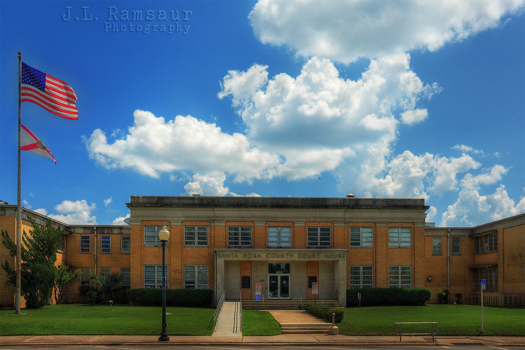
Santa Rosa County, FL Courthouse - Milton, FL

The Web of Dreams

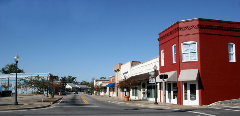
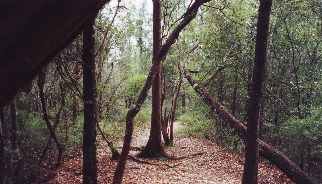
3-Milton-2006-20
10-Milton-2006-12

the cure for boredom
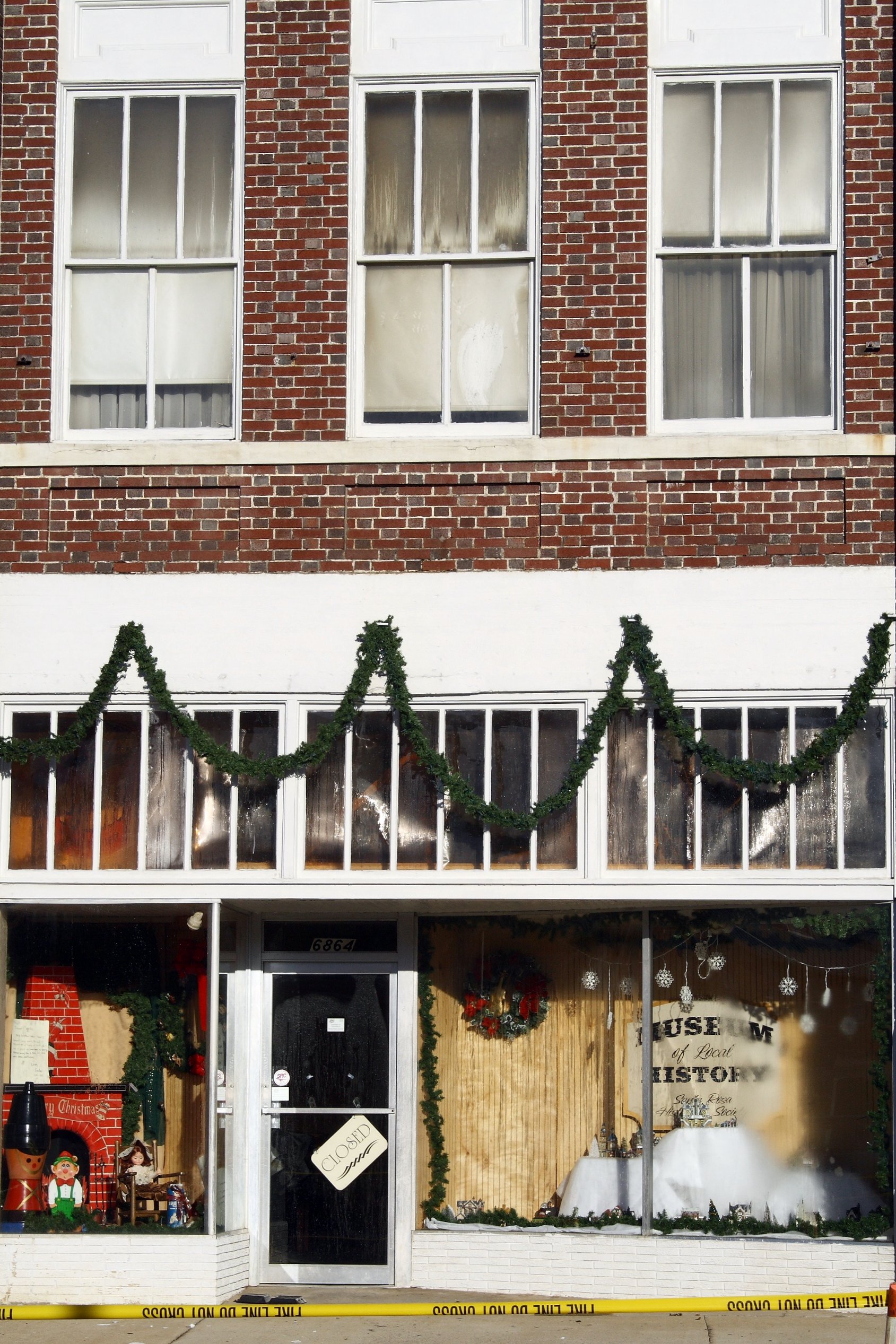
Museum of Local History - Closed

IMG_2338 (2)
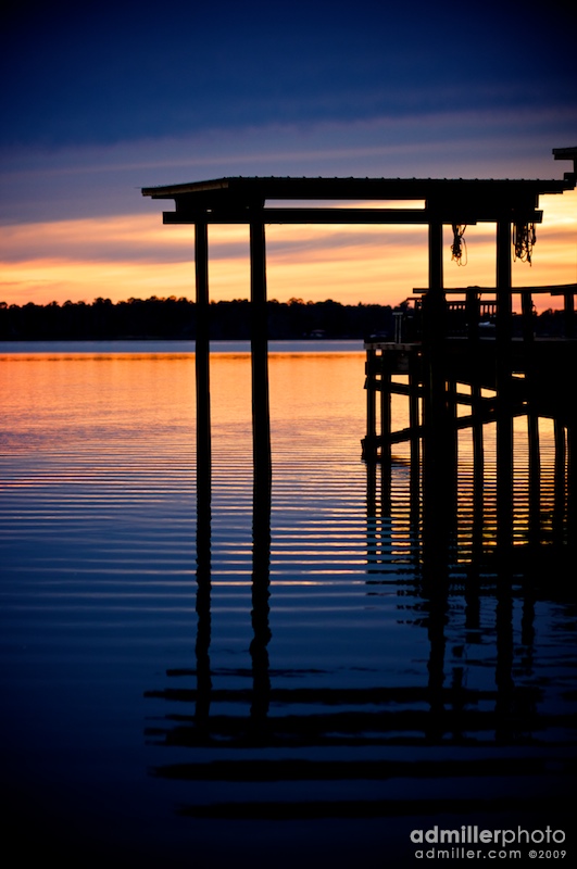
I'm Sittin' on the Dock of the Bay
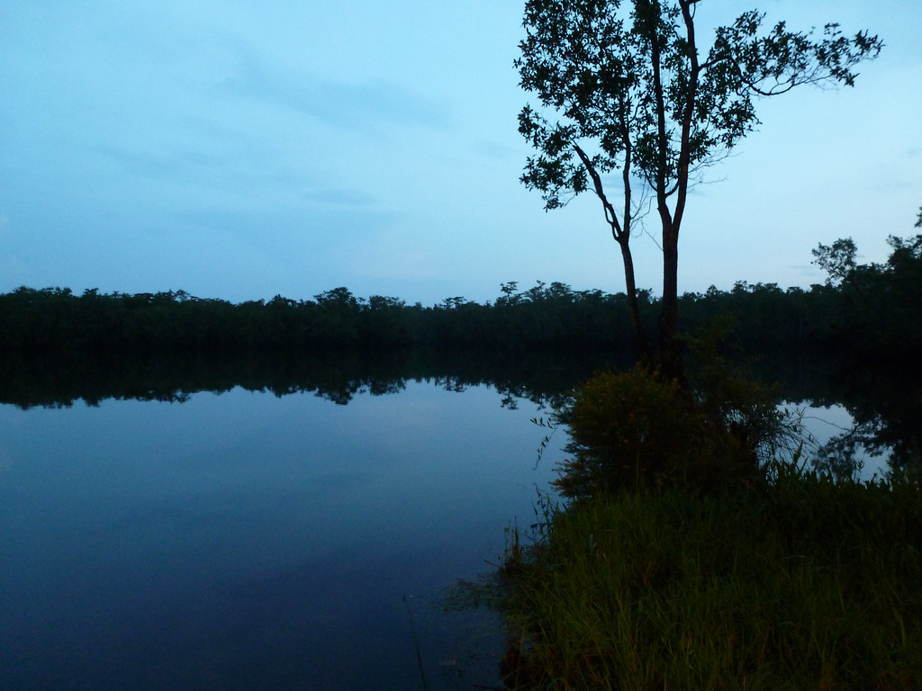
Blackwater River

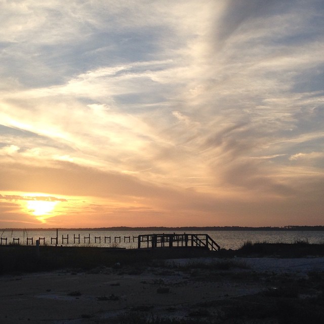
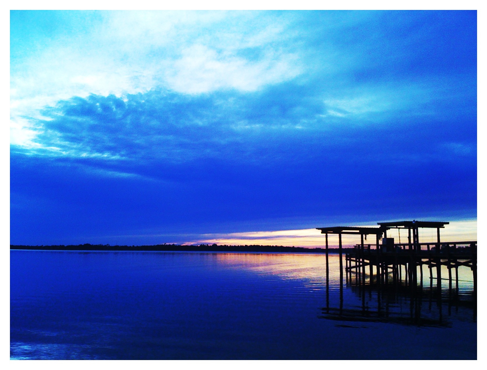
Blackwater Bay sunset
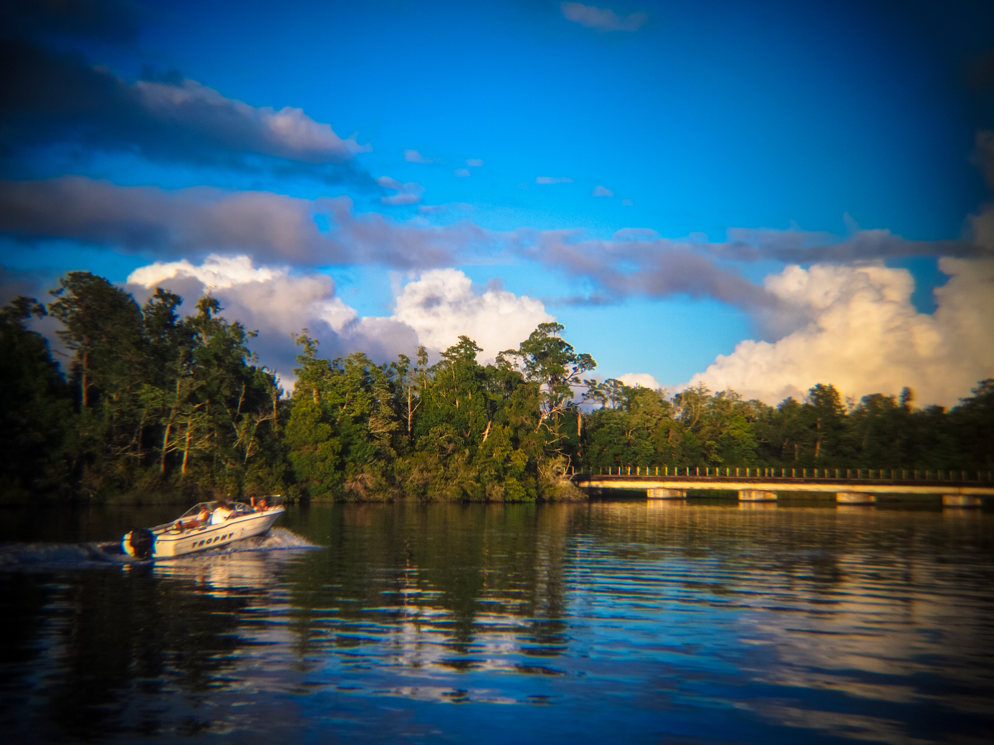
Farrington Lake at Gator's Seafood

#finallyblueskies

Silvery twilight - by invitation

East Bay

Solstice Sunset

Whitetop Pitcherplant (Sarracenia leucophylla)

Sunset at East Bay 6/10/13 #5/5

East Bay 6/3/2013 #3/5
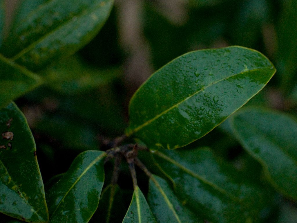
Green leaves with dew
Sunset on the bay. #Florida2015 #roadtrip #summer2015

Blackwater Bay, Milton, Florida

East Bay 6/3/2013 #1/5
Arcadia Mill Site

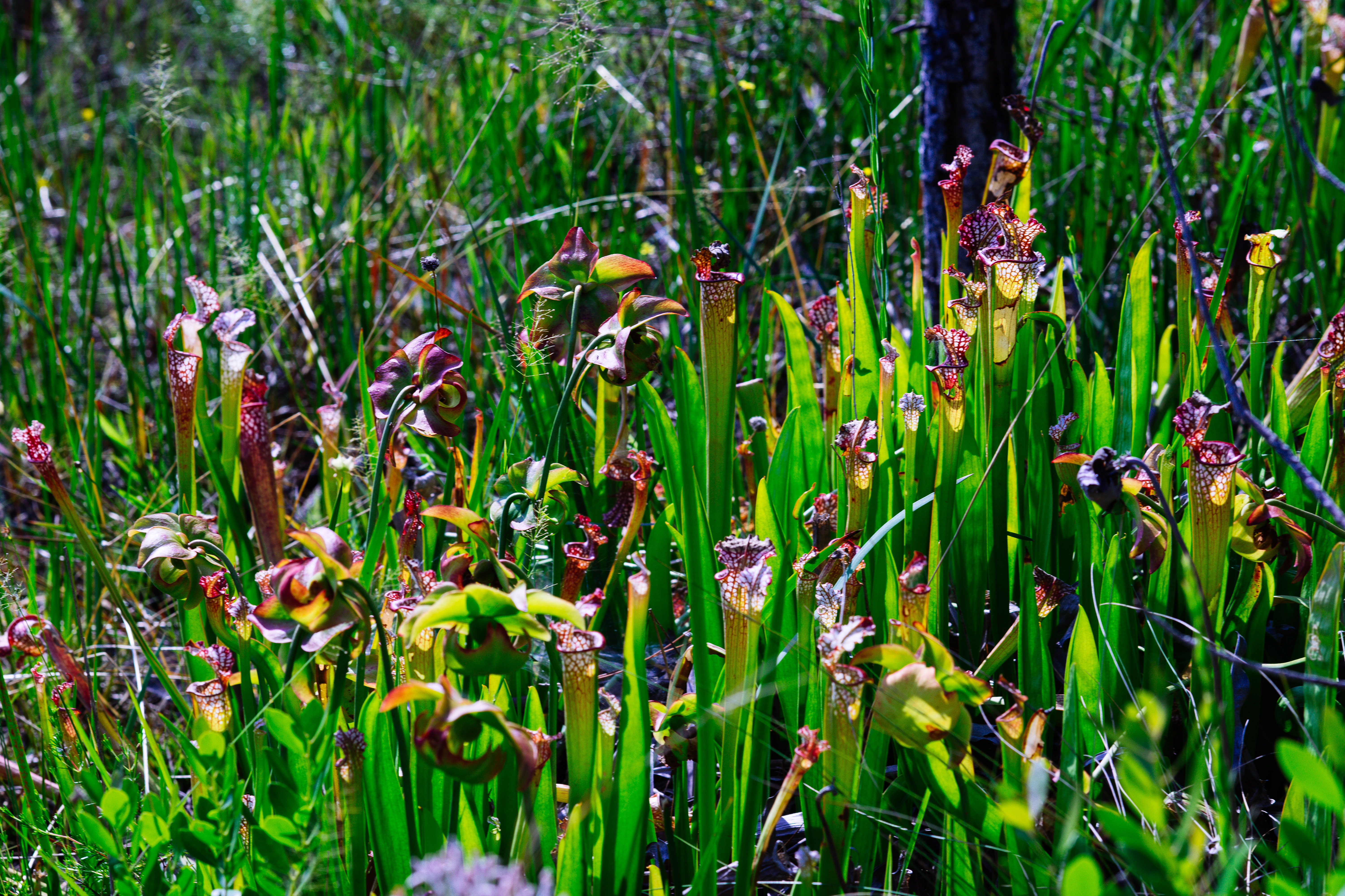
Whitetop Pitcherplant (Sarracenia leucophylla)
East Bay
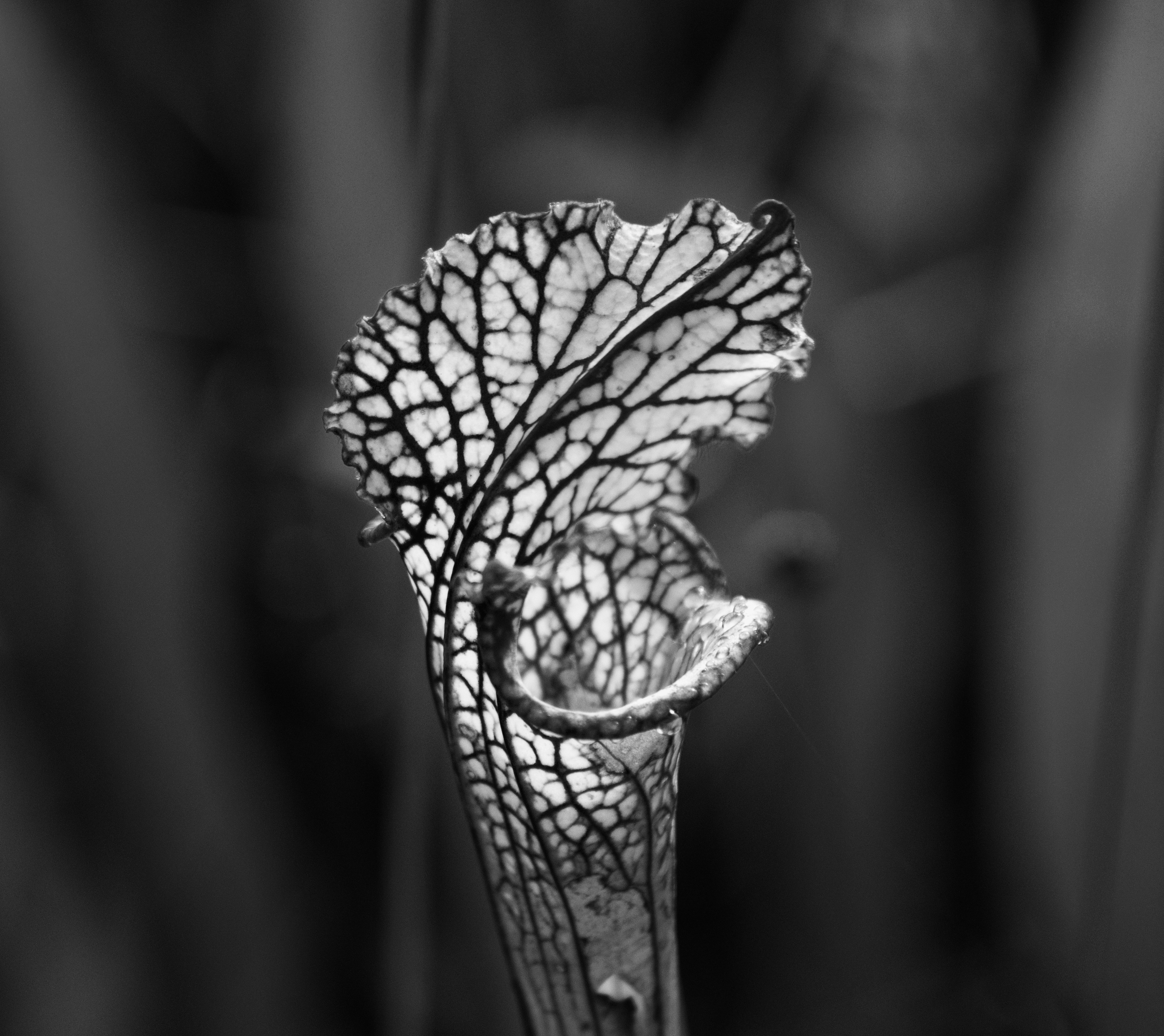
White-topped pitcher plant (Sarracenia leucophylla)
Whitetop Pitcherplant (Sarracenia leucophylla)
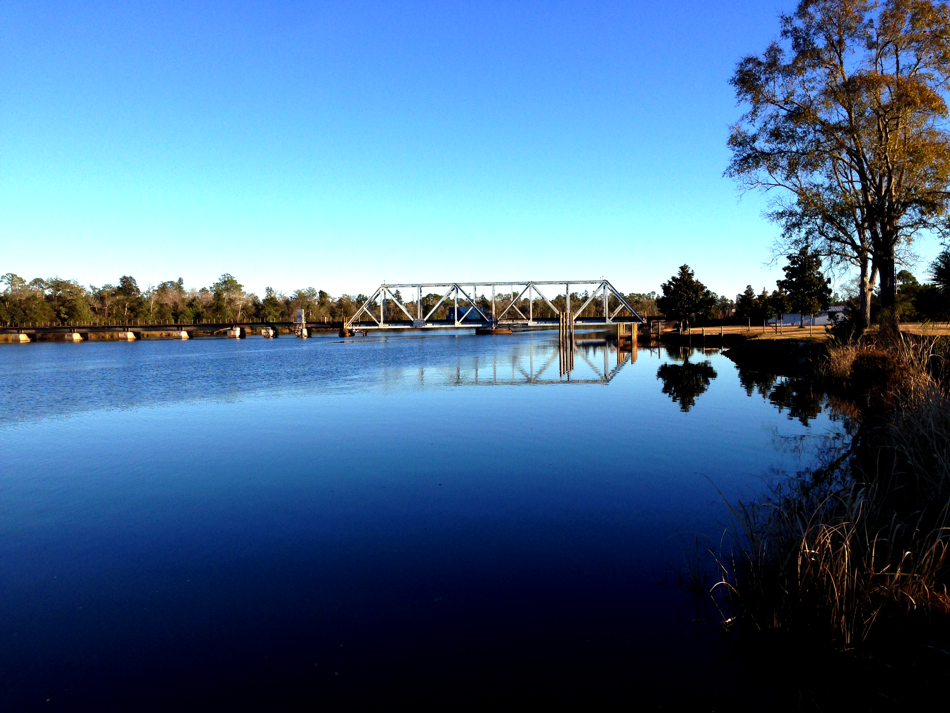
Blackwater River Rail Bridge
Topographic Map of Coachman Rd, Milton, FL, USA
Find elevation by address:

Places near Coachman Rd, Milton, FL, USA:
3500 Ward Basin Rd
3773 Ward Basin Rd
4153 Ward Basin Rd
7841 Petersen Point Rd
7824 Petersen Point Rd
7801 Petersen Point Rd
7801 Petersen Point Rd
8108 Blackwater Dr
8108 Blackwater Dr
8119 Virginia Ln
Couey Road
7636 Old Bay Pointe Rd
7658 Old Bay Pointe Rd
Robinson Point Road
3388 Robinson Point Rd
3700 Garcon Point Rd
3945 Windsor Castle Blvd
3945 Windsor Castle Blvd
3998 Holleyberry Ln
7201 Bayshore Dr
Recent Searches:
- Elevation of Luther Road, Luther Rd, Auburn, CA, USA
- Elevation of Unnamed Road, Respublika Severnaya Osetiya — Alaniya, Russia
- Elevation of Verkhny Fiagdon, North Ossetia–Alania Republic, Russia
- Elevation of F. Viola Hiway, San Rafael, Bulacan, Philippines
- Elevation of Herbage Dr, Gulfport, MS, USA
- Elevation of Lilac Cir, Haldimand, ON N3W 2G9, Canada
- Elevation of Harrod Branch Road, Harrod Branch Rd, Kentucky, USA
- Elevation of Wyndham Grand Barbados Sam Lords Castle All Inclusive Resort, End of Belair Road, Long Bay, Bridgetown Barbados
- Elevation of Iga Trl, Maggie Valley, NC, USA
- Elevation of N Co Rd 31D, Loveland, CO, USA