Elevation of Co Rd, Westcliffe, CO, USA
Location: United States > Colorado > Westcliffe >
Longitude: -105.30806
Latitude: 38.2513866
Elevation: 2470m / 8104feet
Barometric Pressure: 75KPa
Elevation Map:
Satellite Map:
Related Photos:
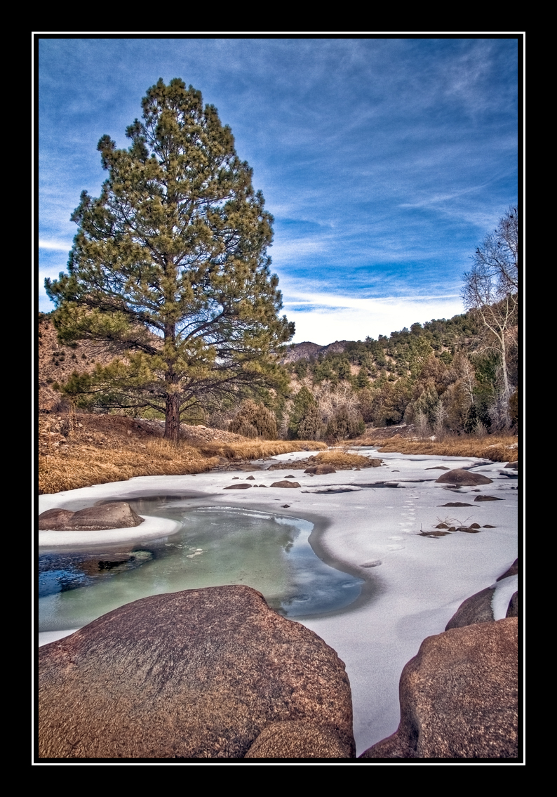
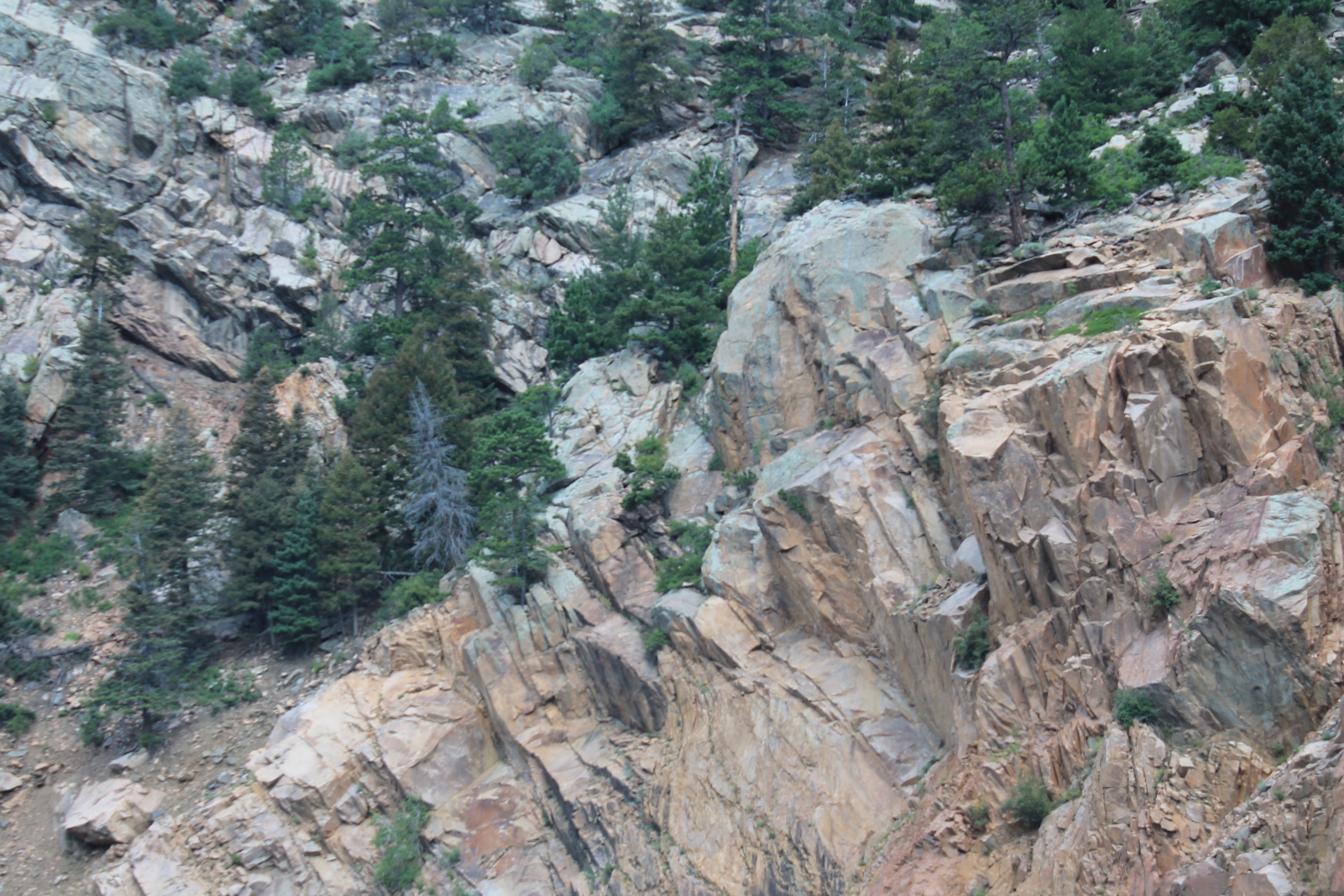
Grape Creek
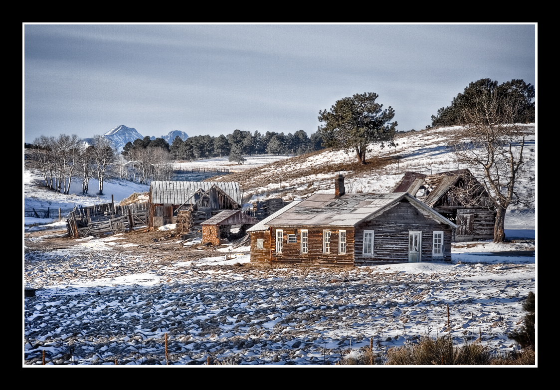
Back in Time

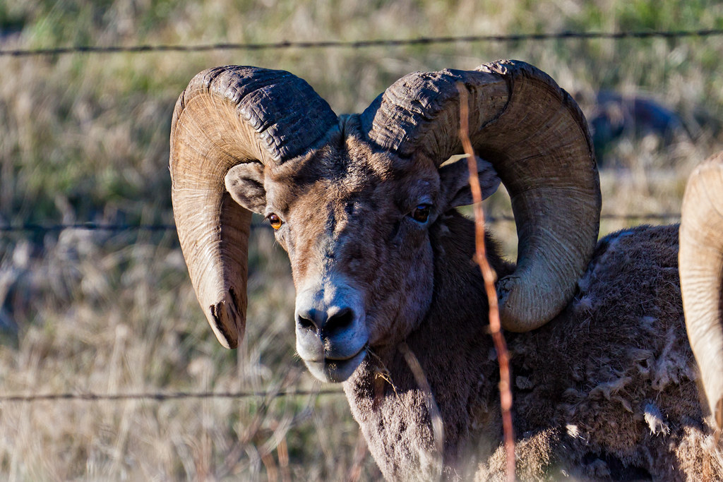
HARDSCRABBLE BIGHORN RAM
Roadside Grazing
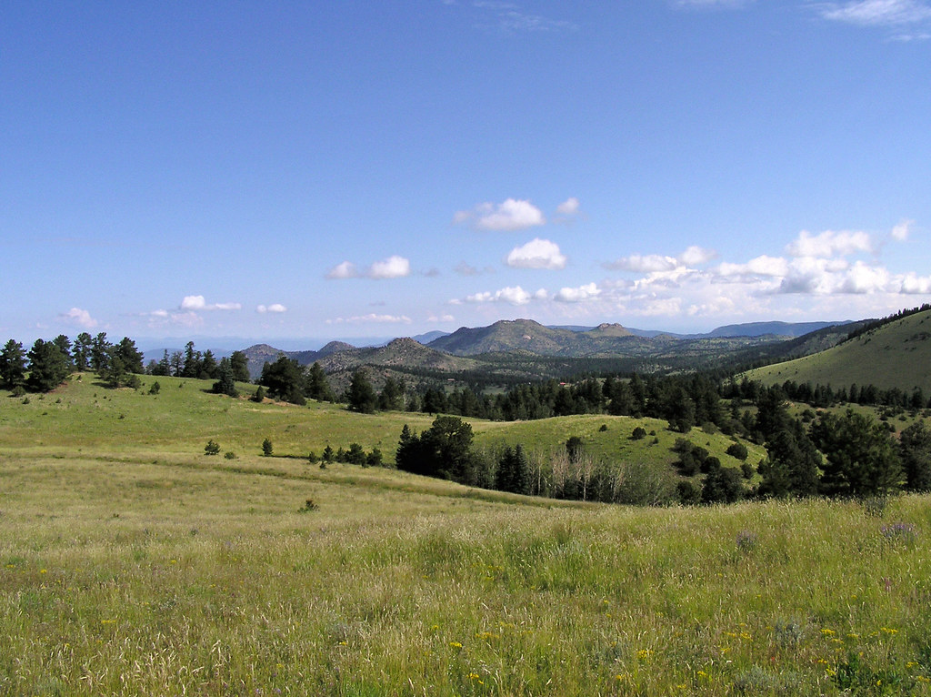
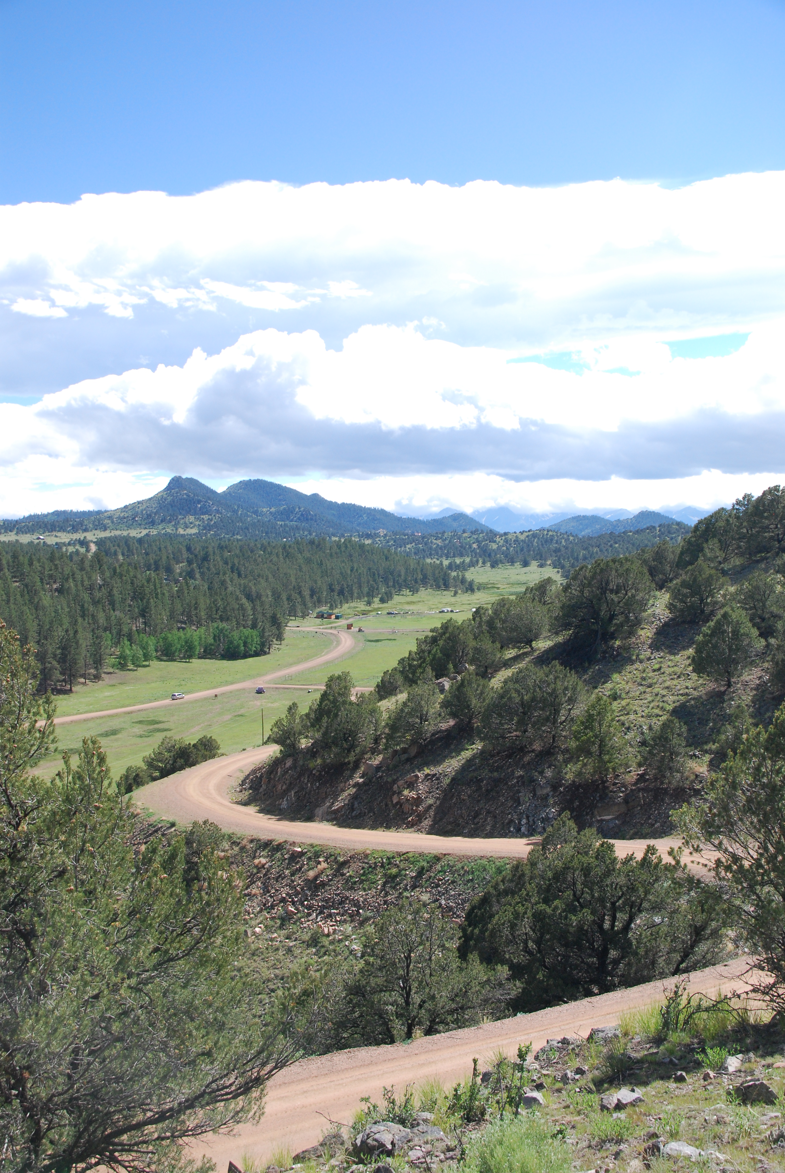
View to the N/NW form the property
IMG_0410 View from State Hwy 96 southwest of Canon City 38.000d10.000m26.516s N 105.000d10.000m22.982s W
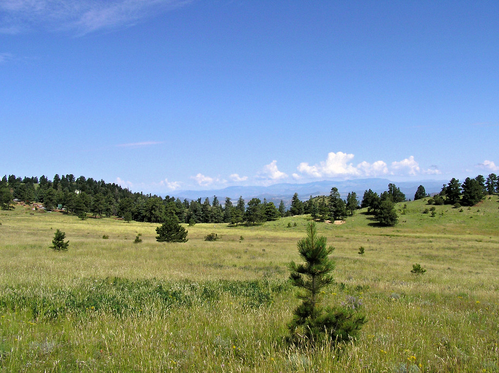
View to the N/NW form the property

Forest Near My Home
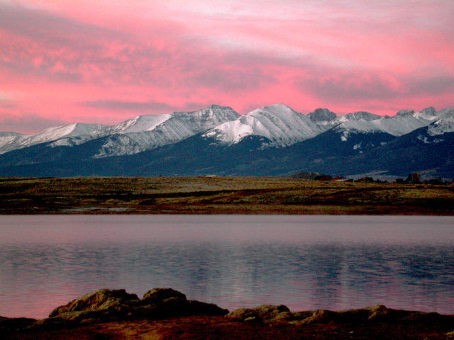
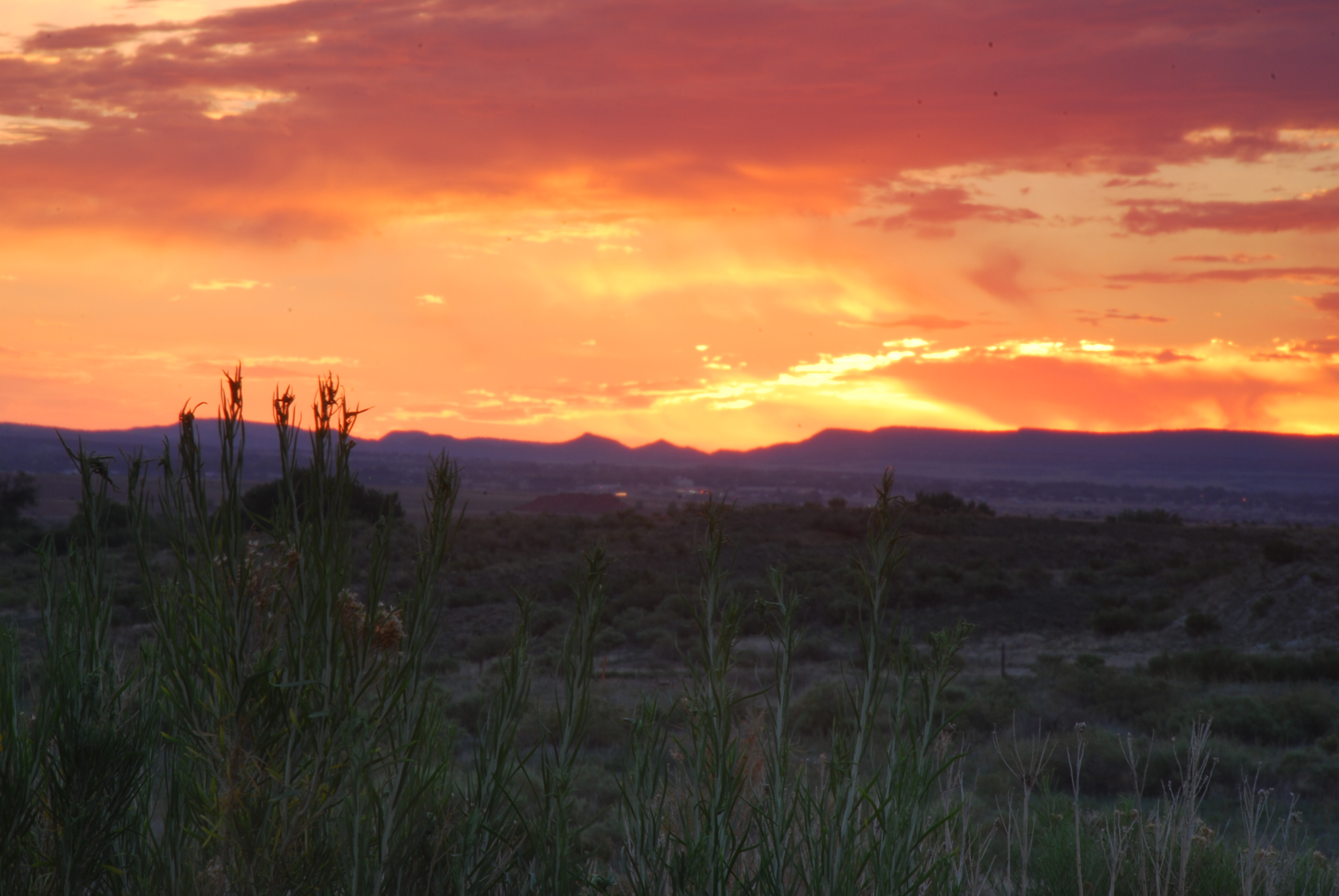
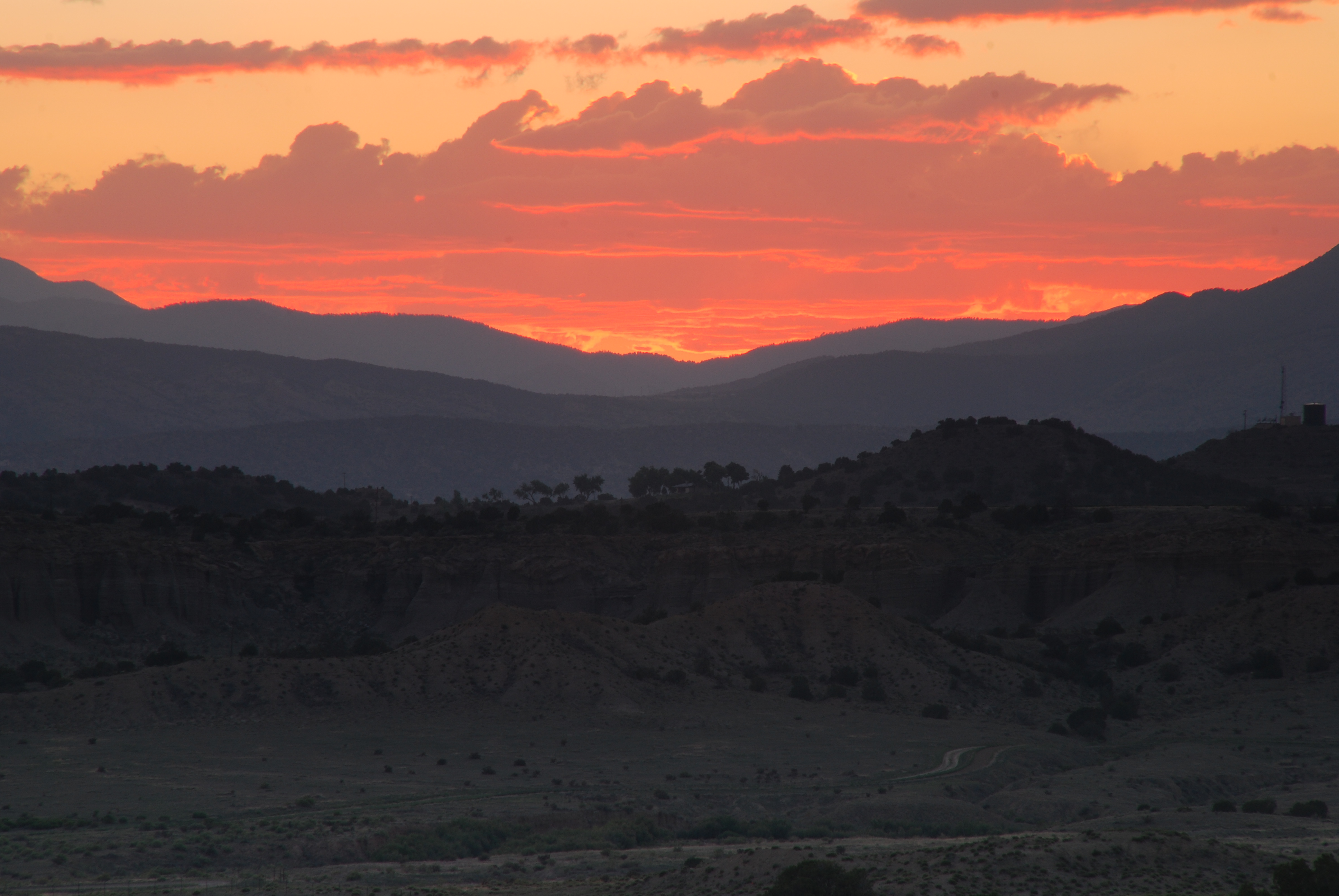
Sangre de Cristo Sunrise
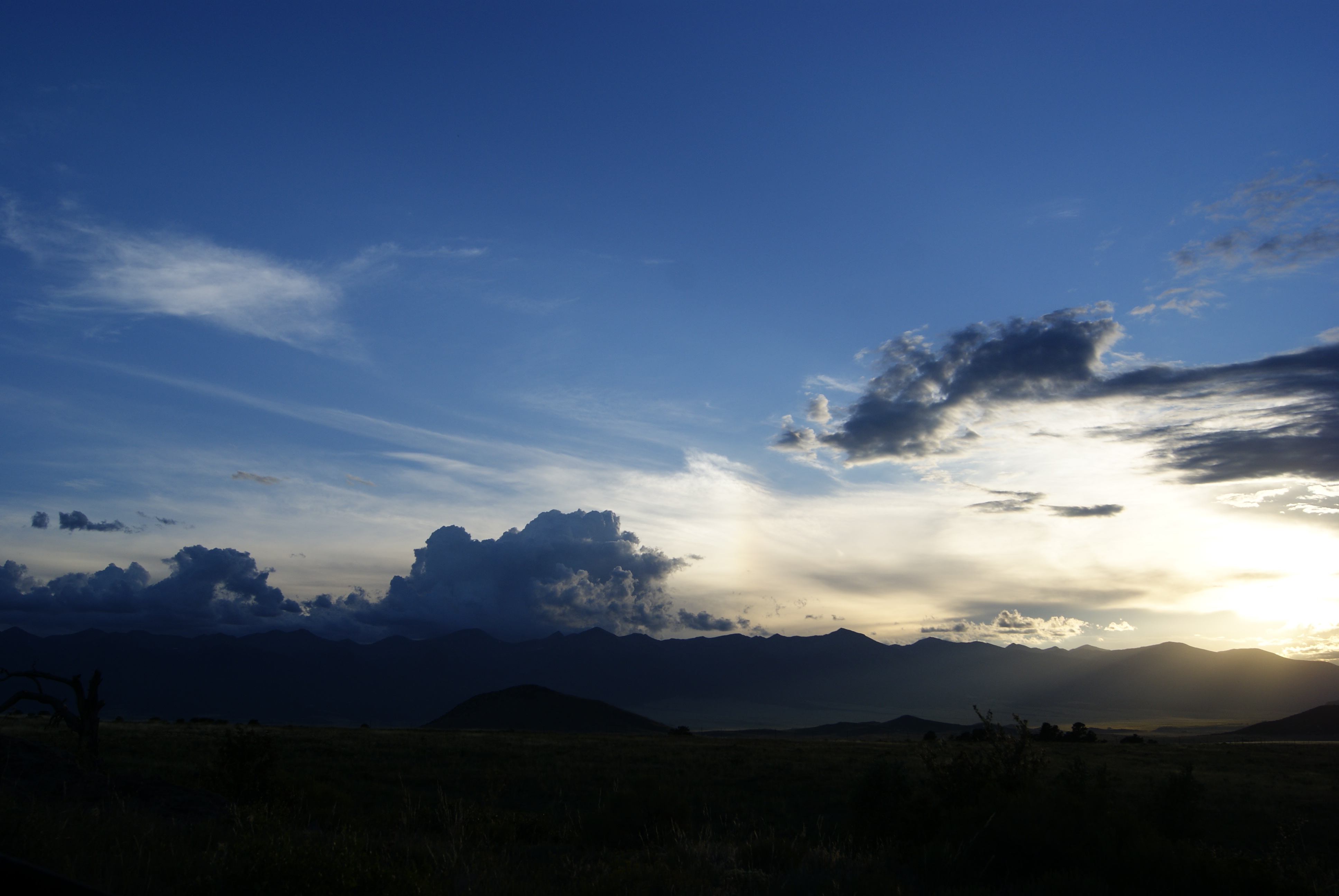
Setting Rays
ESR 4-02
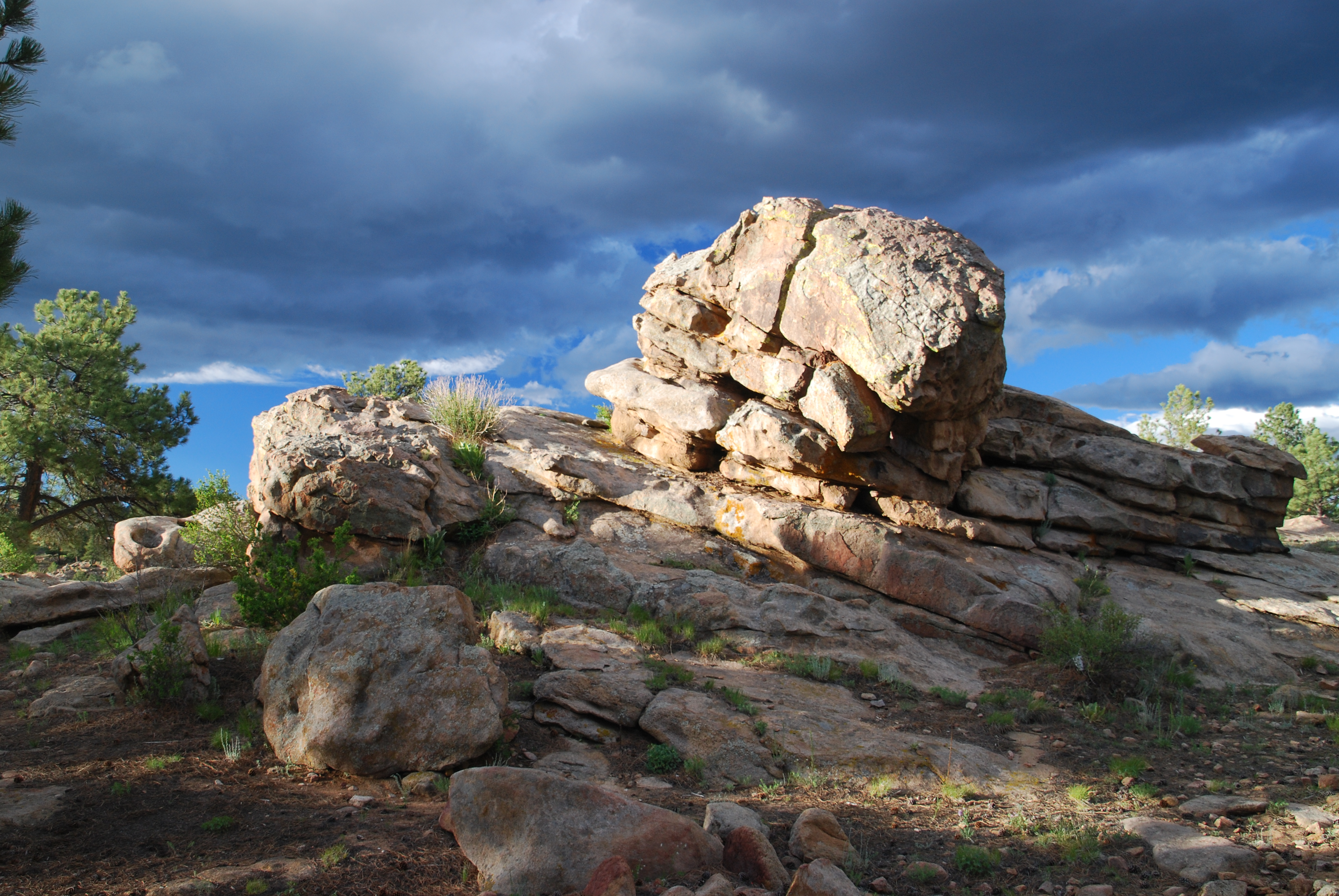
Upon this rock...

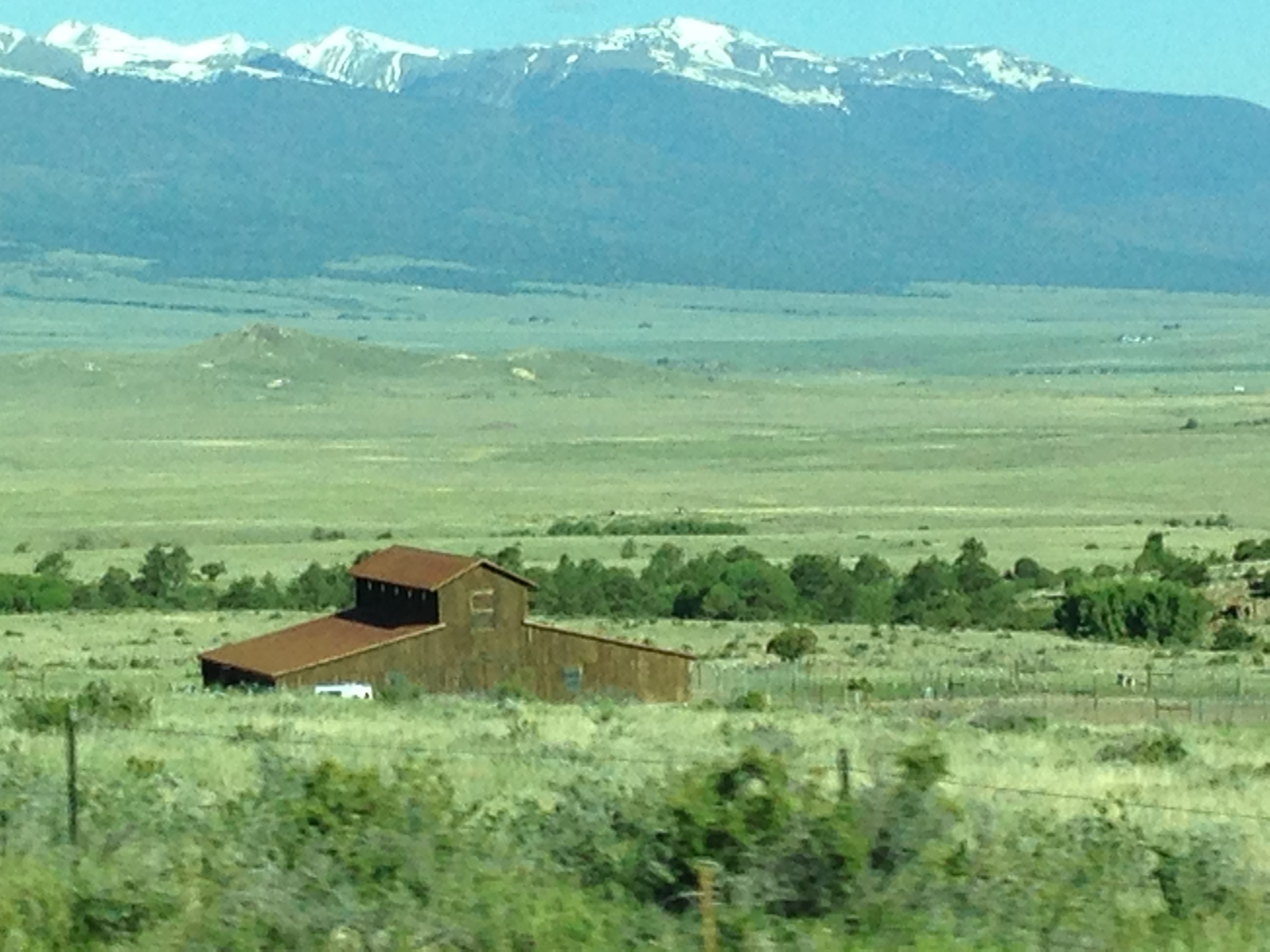
Sunset near Canon City, Colorado
ESR 2-04
Colorado June 2015
ESR 2-25
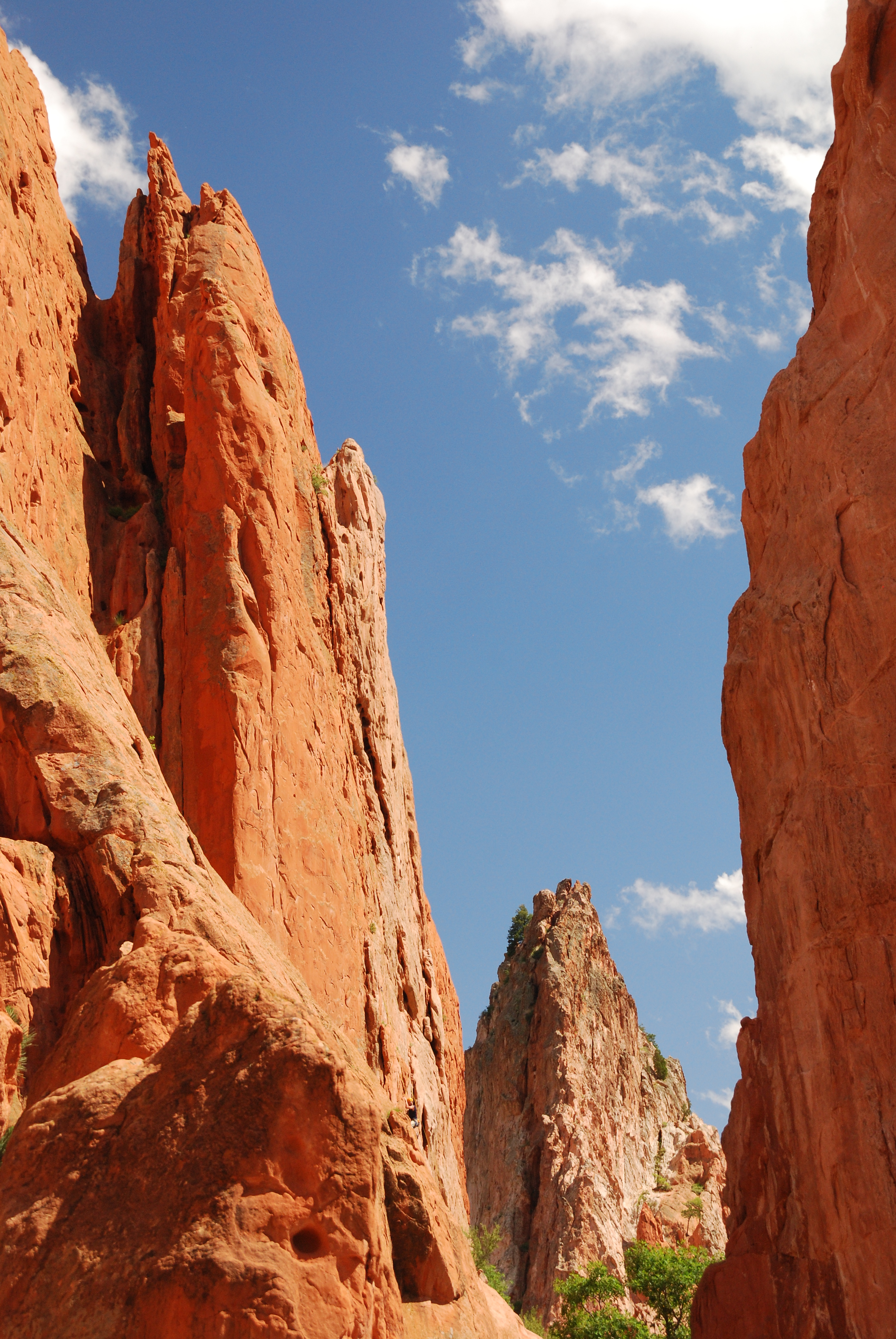
Garden of the Gods
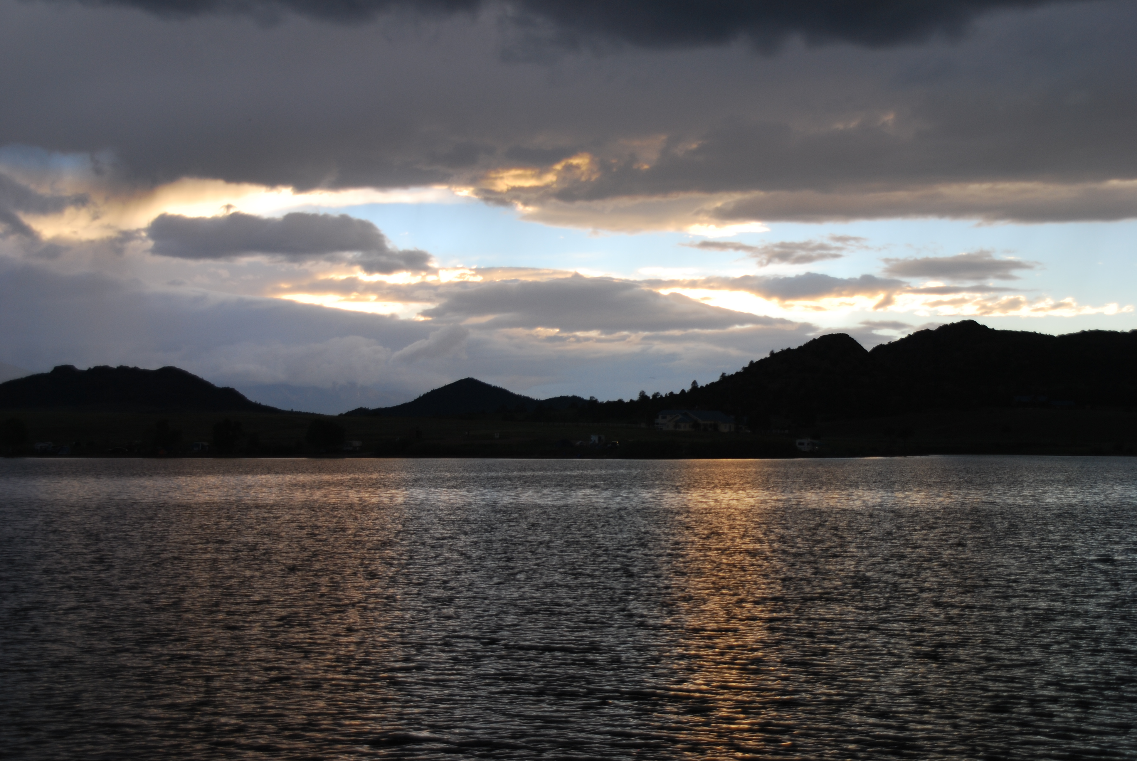
Sunset near Canon City, Colorado
ESR 2-22
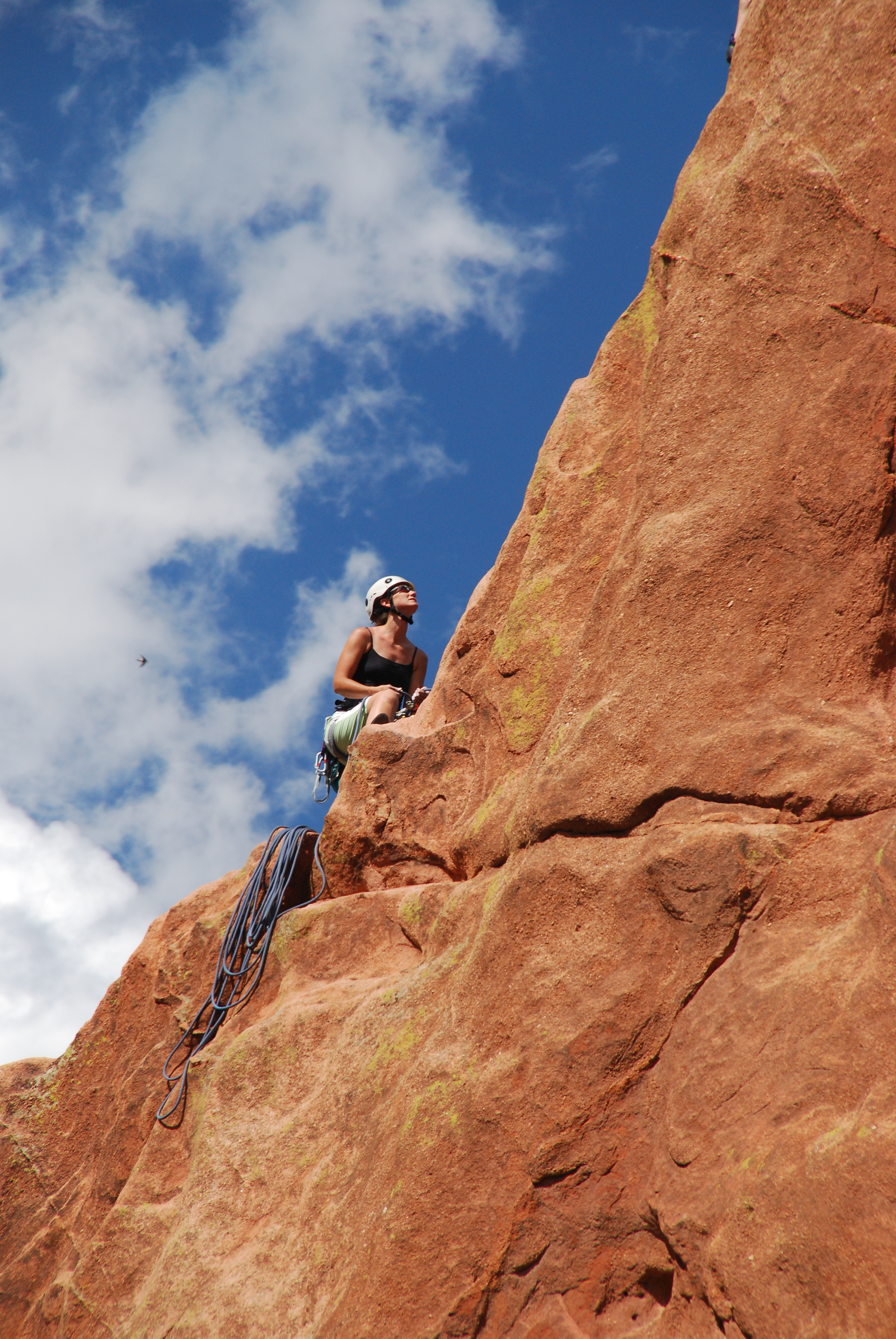
Garden of the Gods
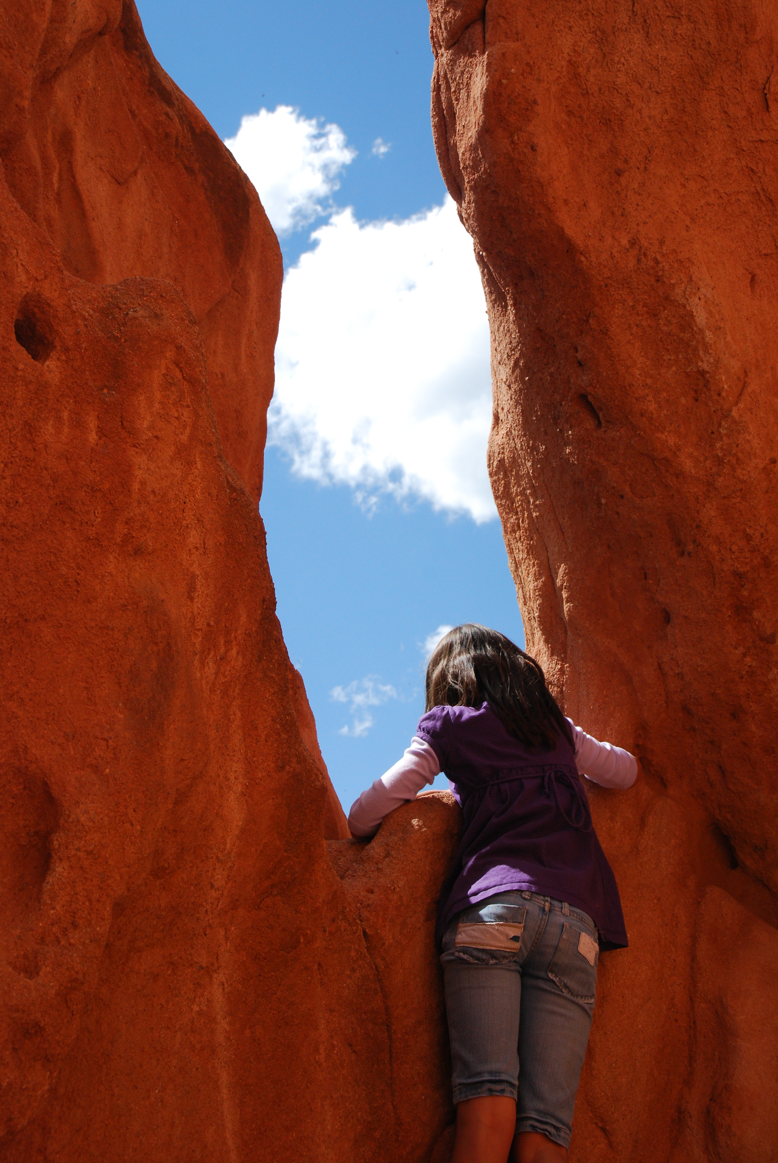
Garden of the Gods
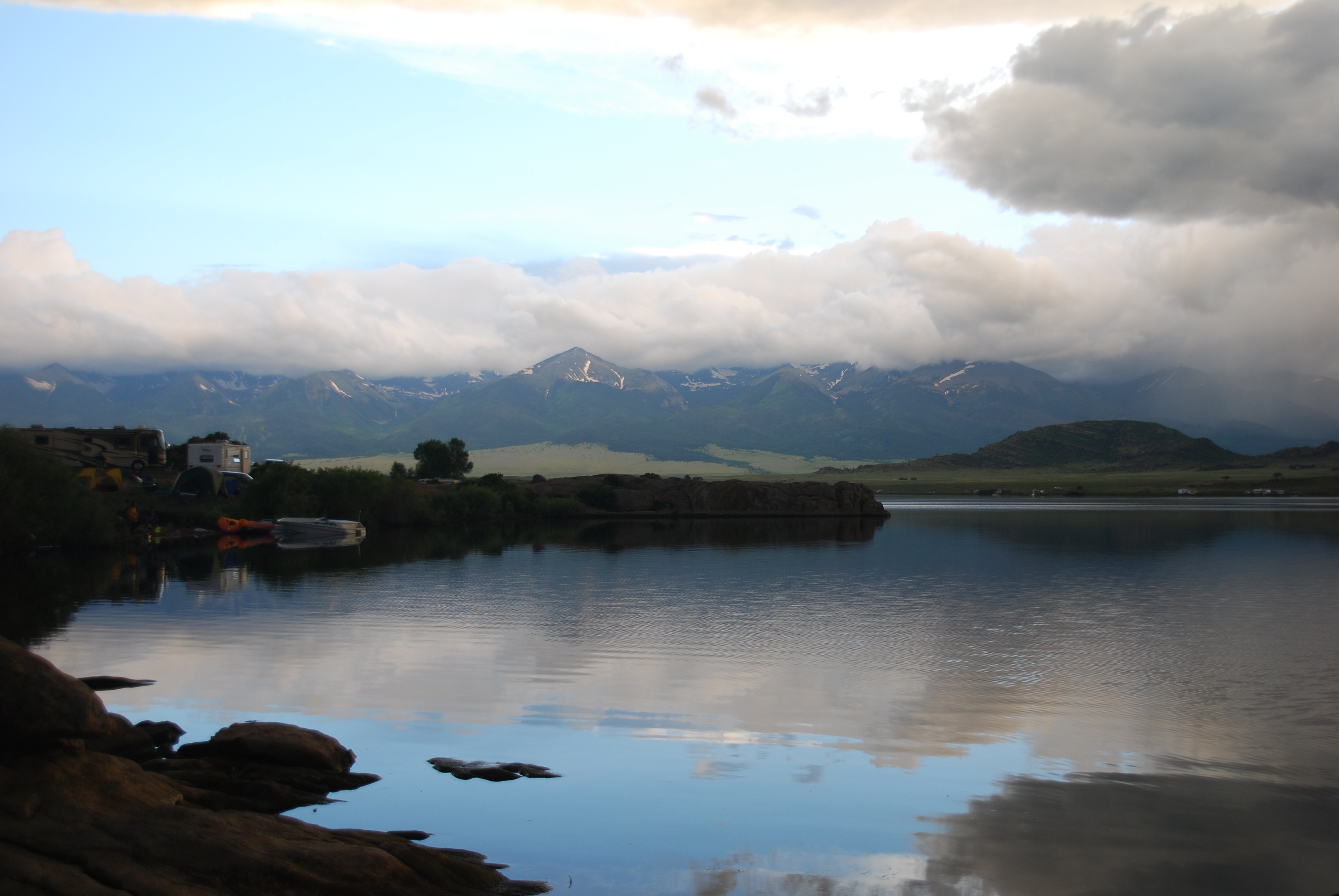
So what has everyone else been up to today?
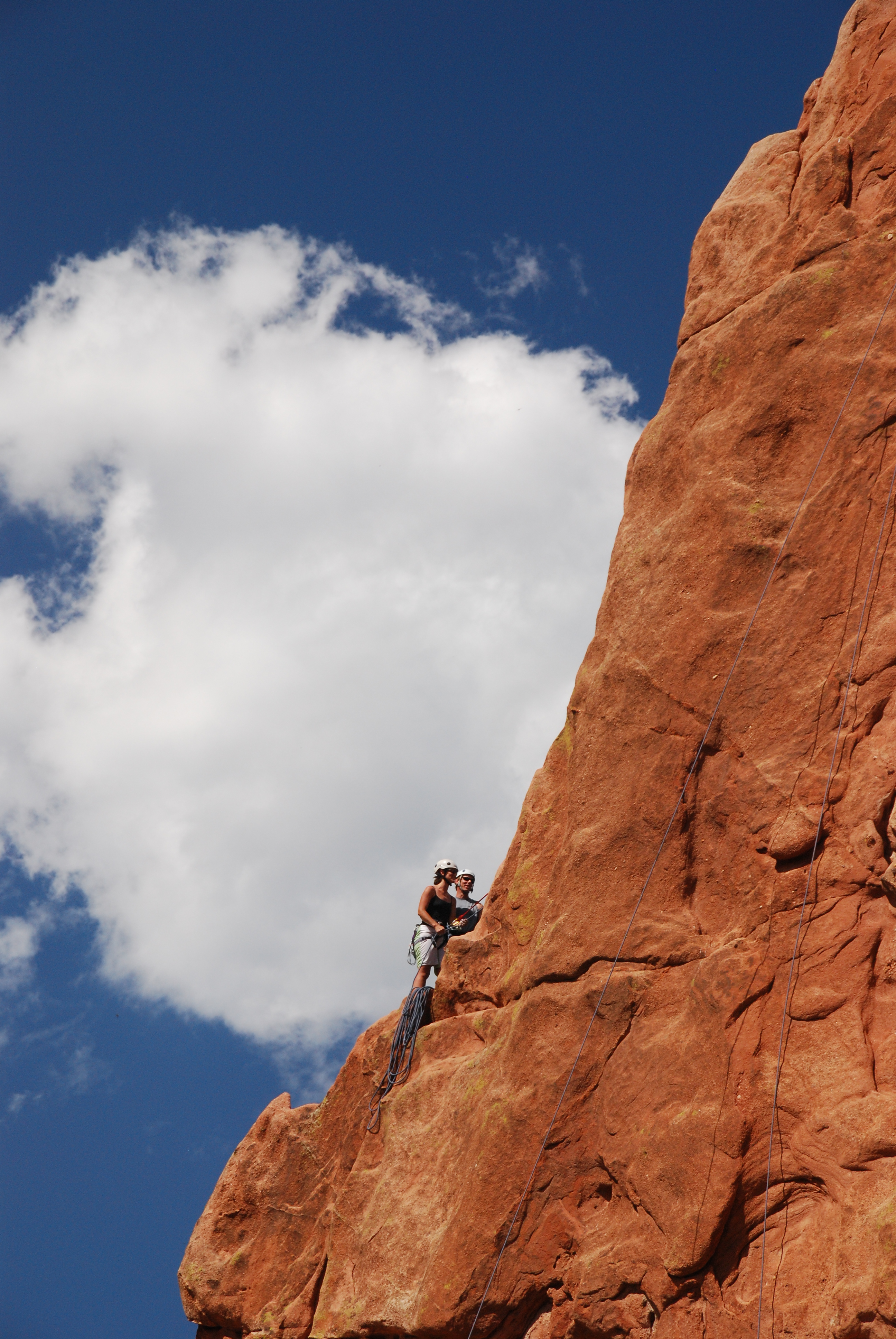
Garden of the Gods
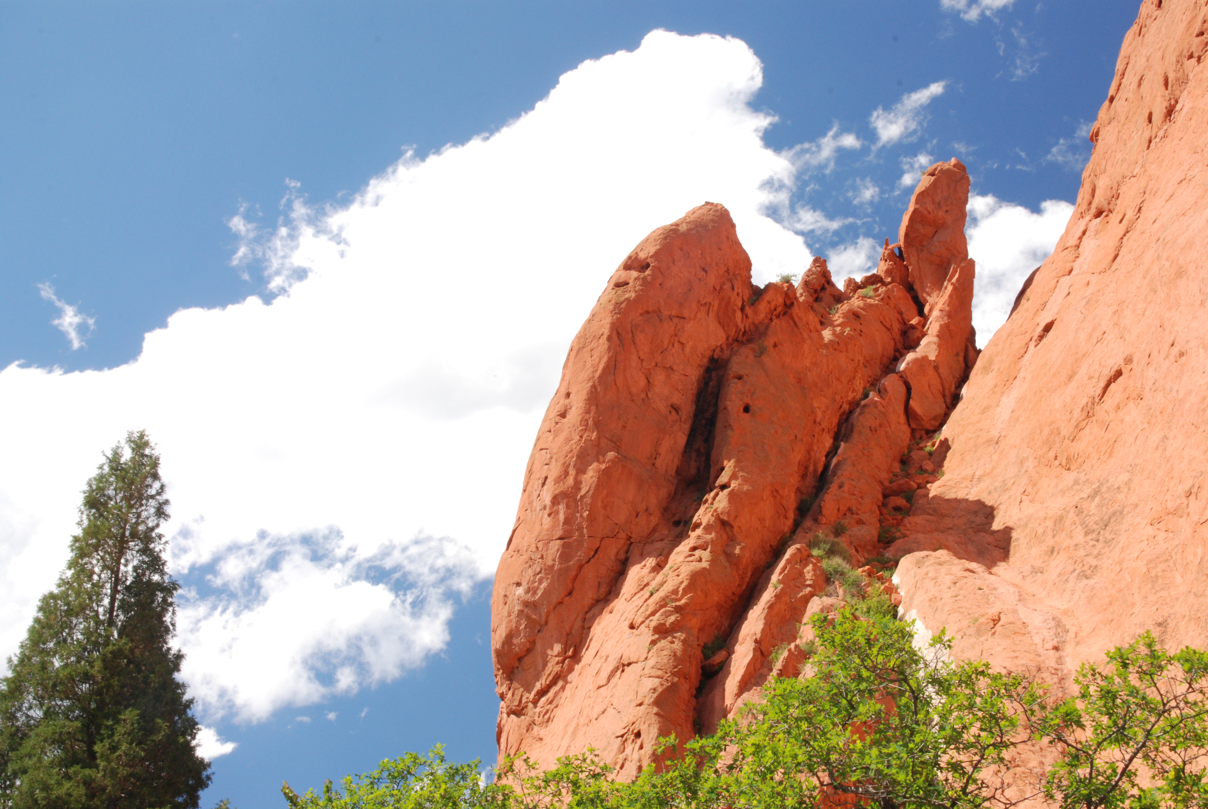
Garden of the Gods
Topographic Map of Co Rd, Westcliffe, CO, USA
Find elevation by address:

Places near Co Rd, Westcliffe, CO, USA:
748 Shoshone Dr
12060 Co Rd 255
871 Shoshone Dr
567 Shoshone Dr
408 Chinook Dr
15325 Co Rd 143
Kiowa Dr, Cañon City, CO, USA
15322 Co Rd 143
10965 Co Rd 255
9293 Co Rd 255
Sangre Way
176 Discovery Ln
201 Buck Ridge Rd
176 Discovery Rd
1001 Marcey Rd
824 Little Horn Dr
308 Dilley Ln
683 Daniel's Pl
601 Hellgate Way N
213 Aspen Trail Rd #27
Recent Searches:
- Elevation of Luther Road, Luther Rd, Auburn, CA, USA
- Elevation of Unnamed Road, Respublika Severnaya Osetiya — Alaniya, Russia
- Elevation of Verkhny Fiagdon, North Ossetia–Alania Republic, Russia
- Elevation of F. Viola Hiway, San Rafael, Bulacan, Philippines
- Elevation of Herbage Dr, Gulfport, MS, USA
- Elevation of Lilac Cir, Haldimand, ON N3W 2G9, Canada
- Elevation of Harrod Branch Road, Harrod Branch Rd, Kentucky, USA
- Elevation of Wyndham Grand Barbados Sam Lords Castle All Inclusive Resort, End of Belair Road, Long Bay, Bridgetown Barbados
- Elevation of Iga Trl, Maggie Valley, NC, USA
- Elevation of N Co Rd 31D, Loveland, CO, USA