Elevation of Co Rd, Westcliffe, CO, USA
Location: United States > Colorado > Custer County >
Longitude: -105.25983
Latitude: 38.1101995
Elevation: 2947m / 9669feet
Barometric Pressure: 71KPa
Elevation Map:
Satellite Map:
Related Photos:
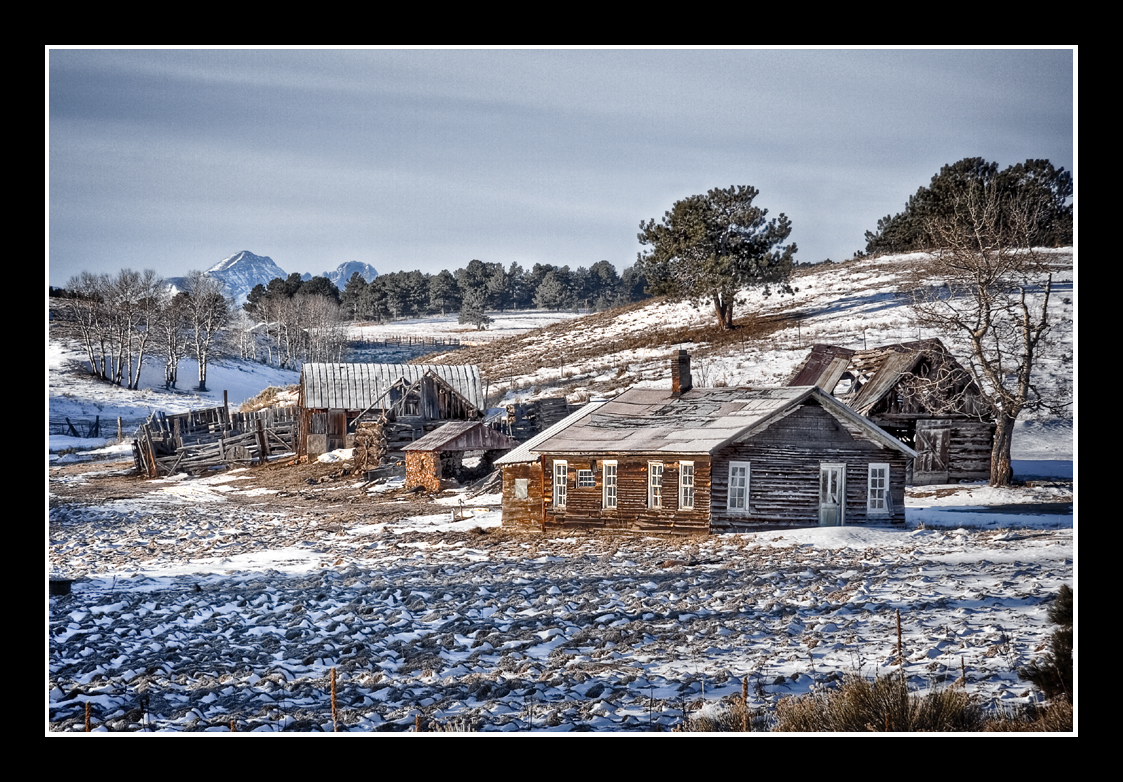
Back in Time
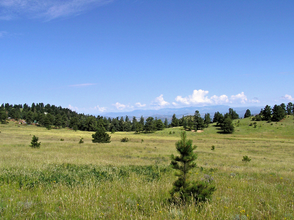
Roadside Grazing
IMG_0410 View from State Hwy 96 southwest of Canon City 38.000d10.000m26.516s N 105.000d10.000m22.982s W

3D - Leaf Springs
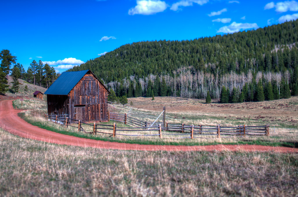
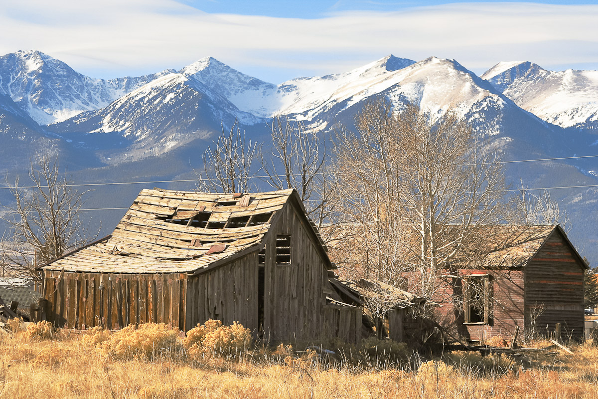
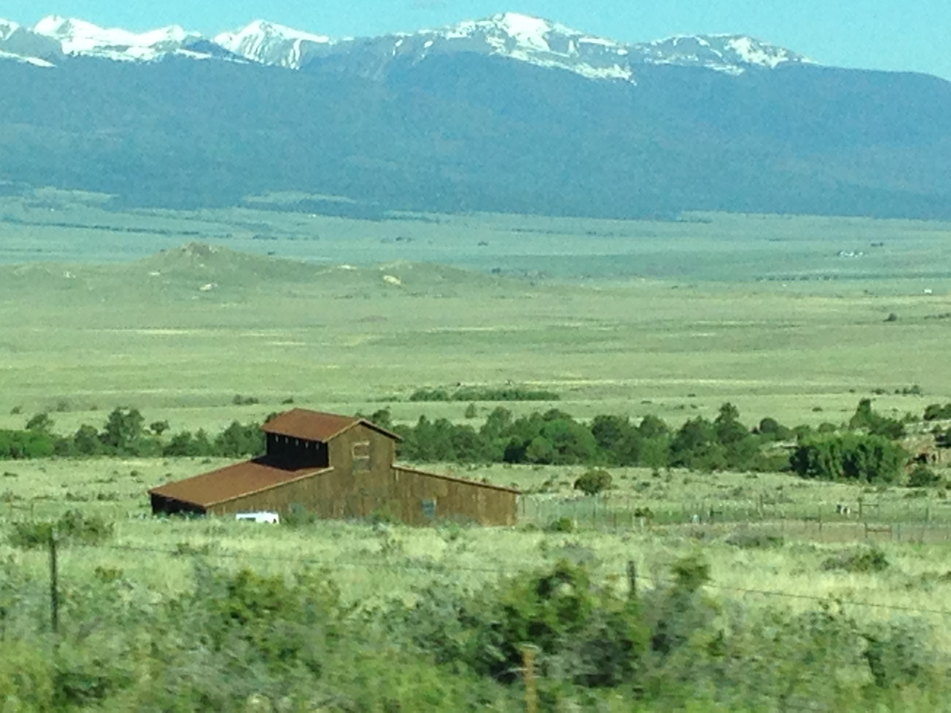
Mingus Homestead Barn
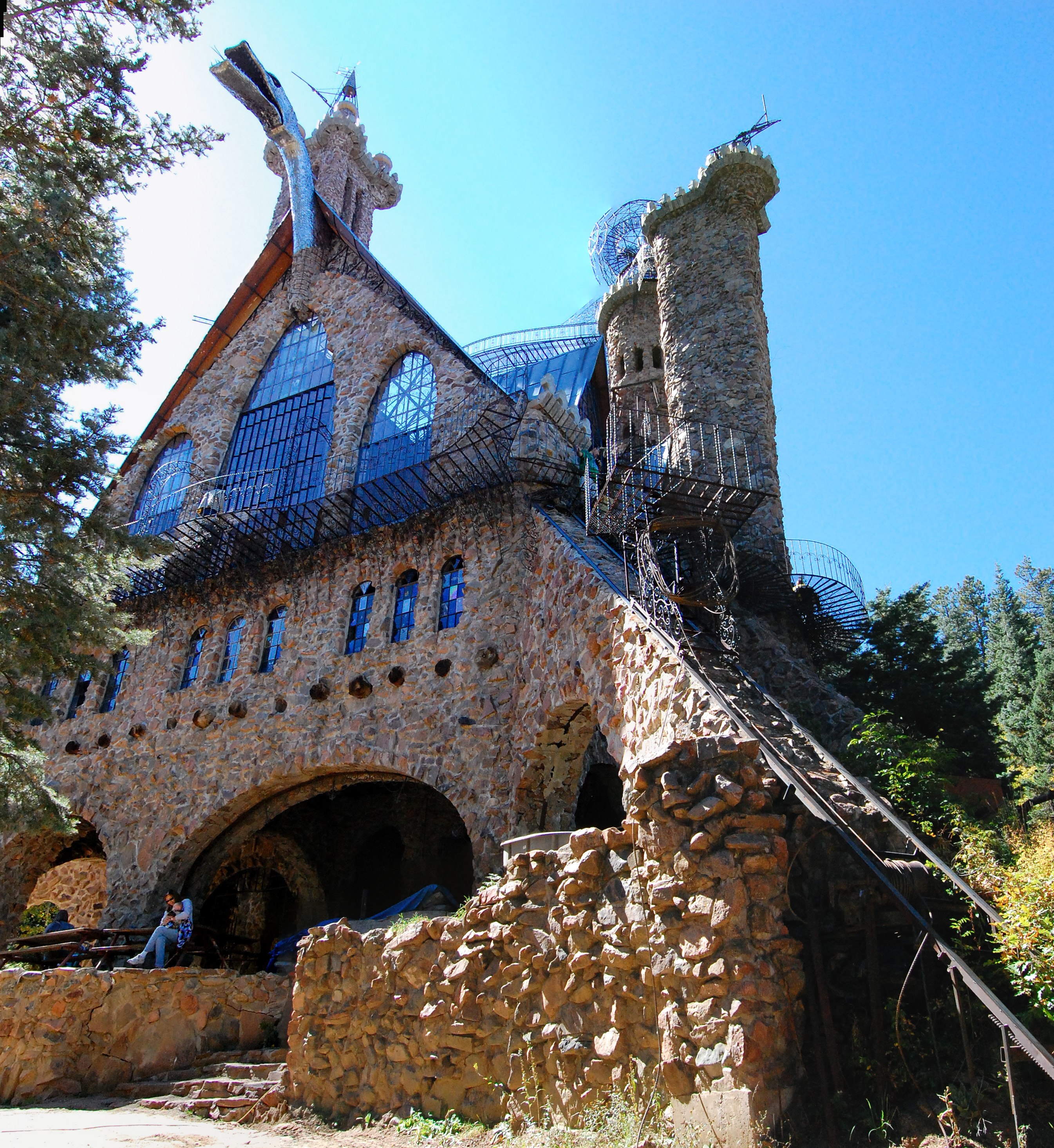
View of the castle
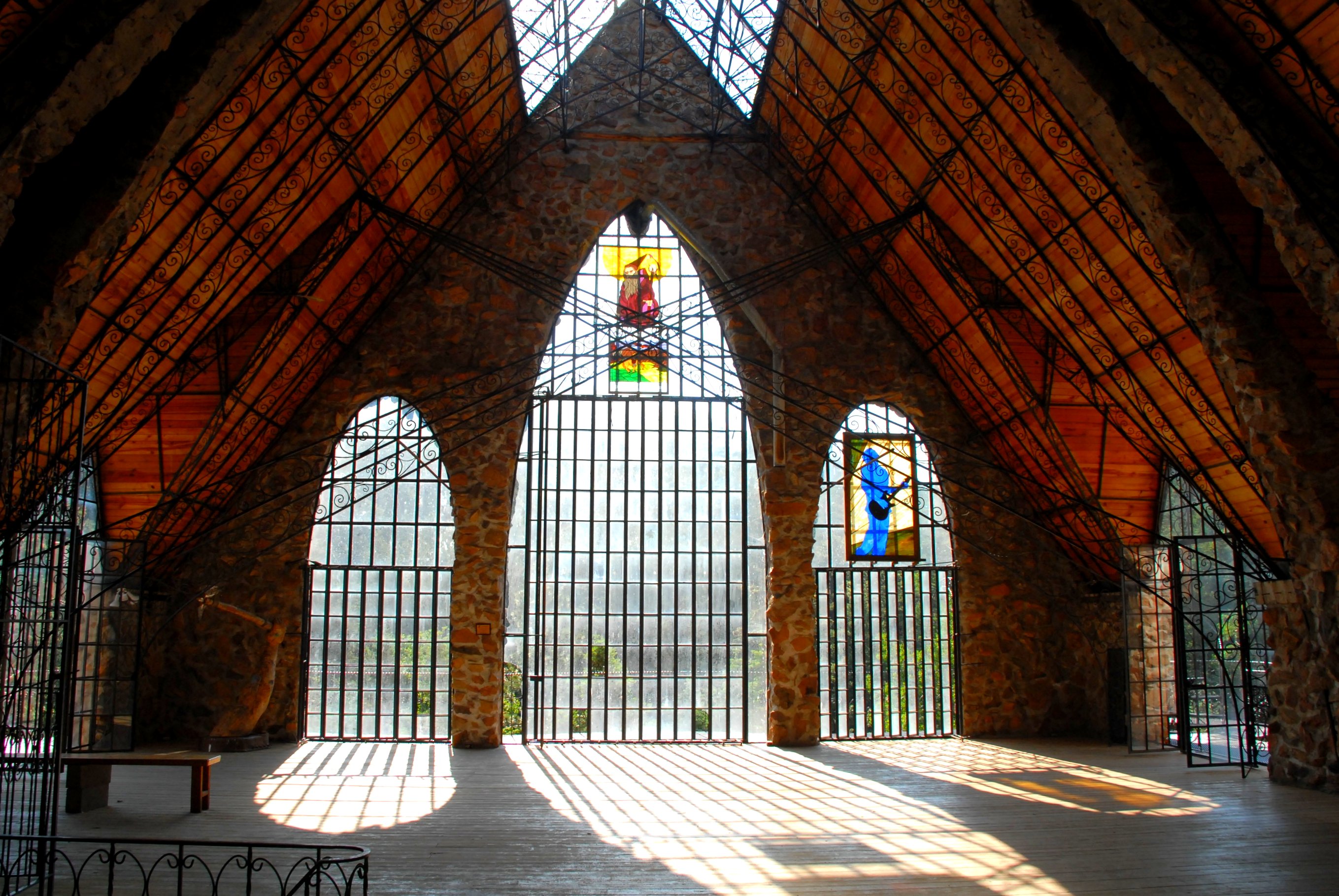
Castle View

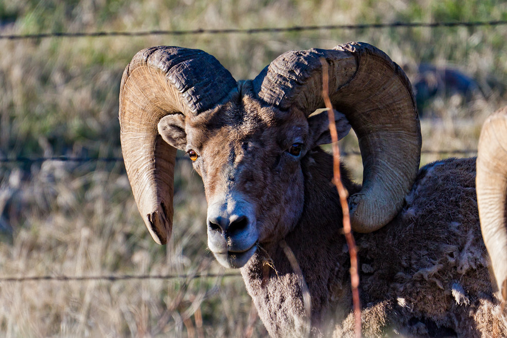
HARDSCRABBLE BIGHORN RAM
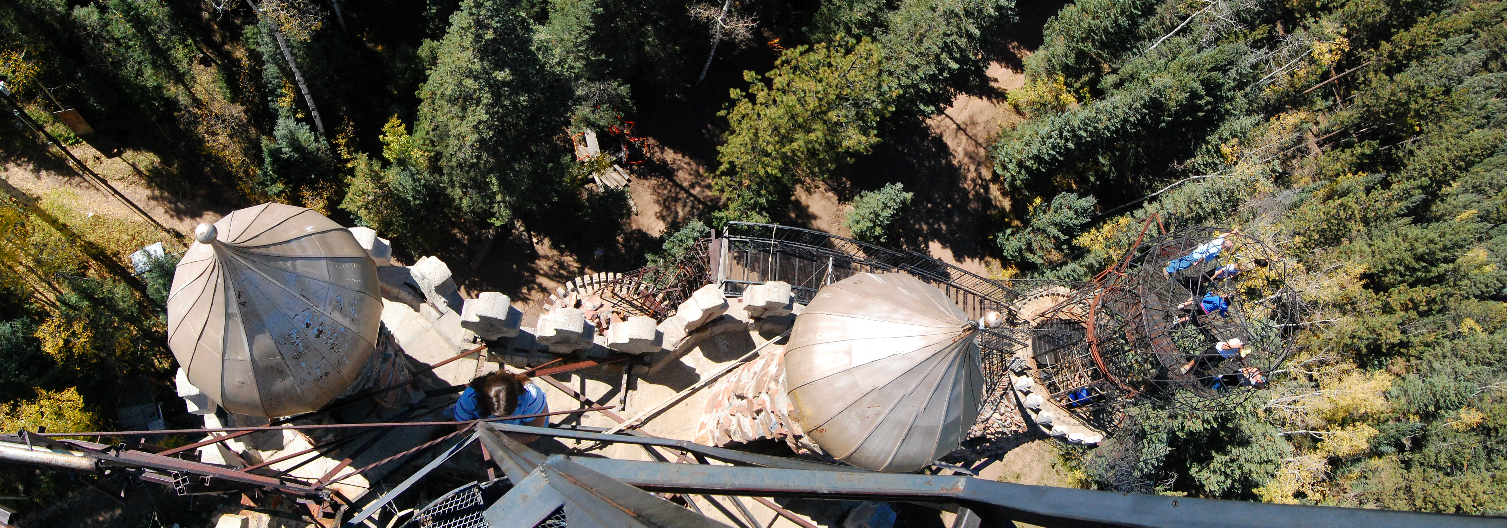
Pano of the view to the back from the top
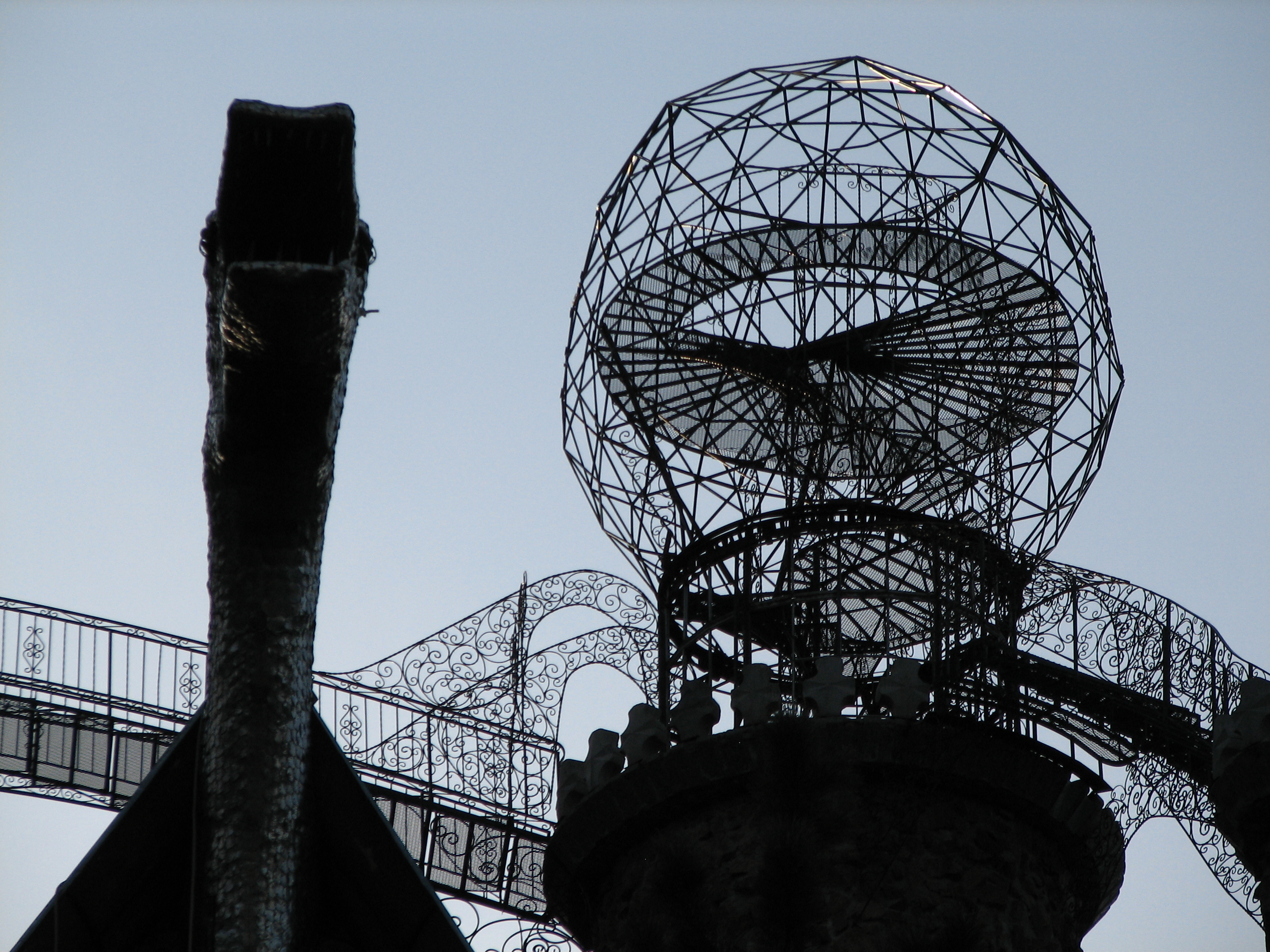
Dragon and Sphere
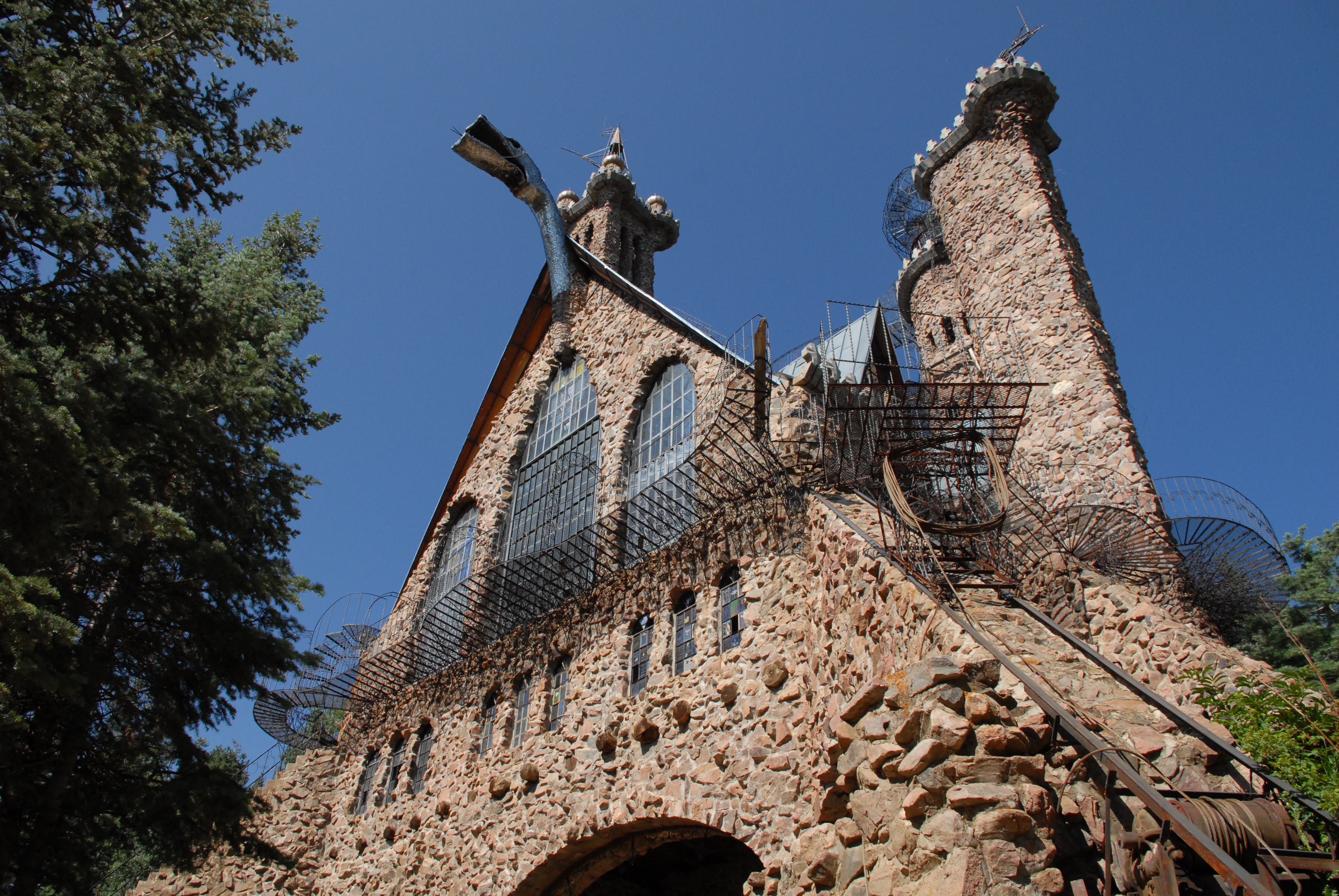
Castle view

Bishop Castle view from the top
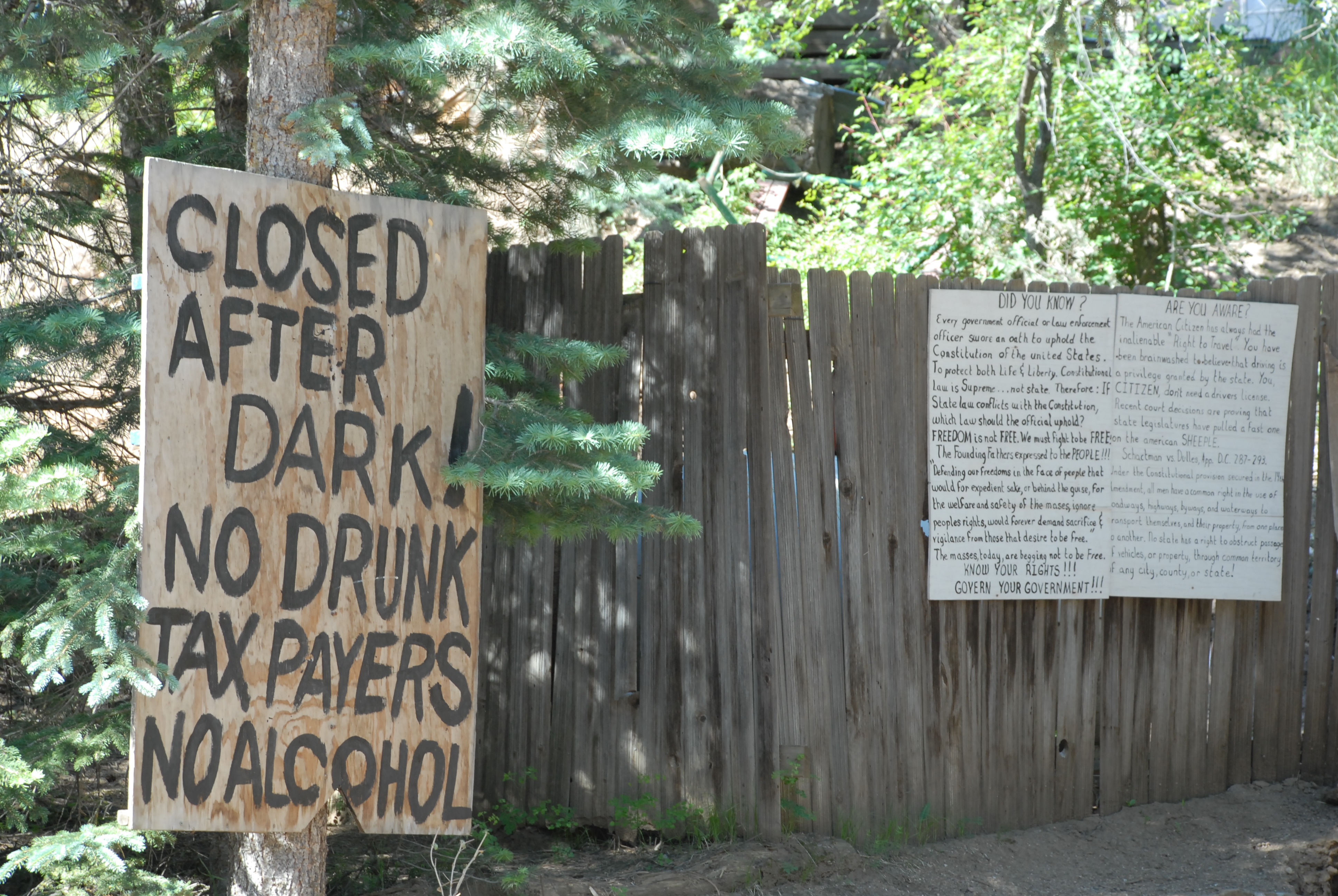
NO DRUNK TAXPAYERS!
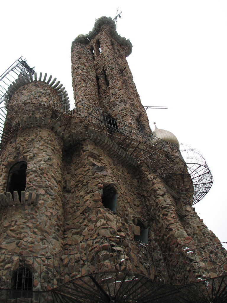
One view of one tower
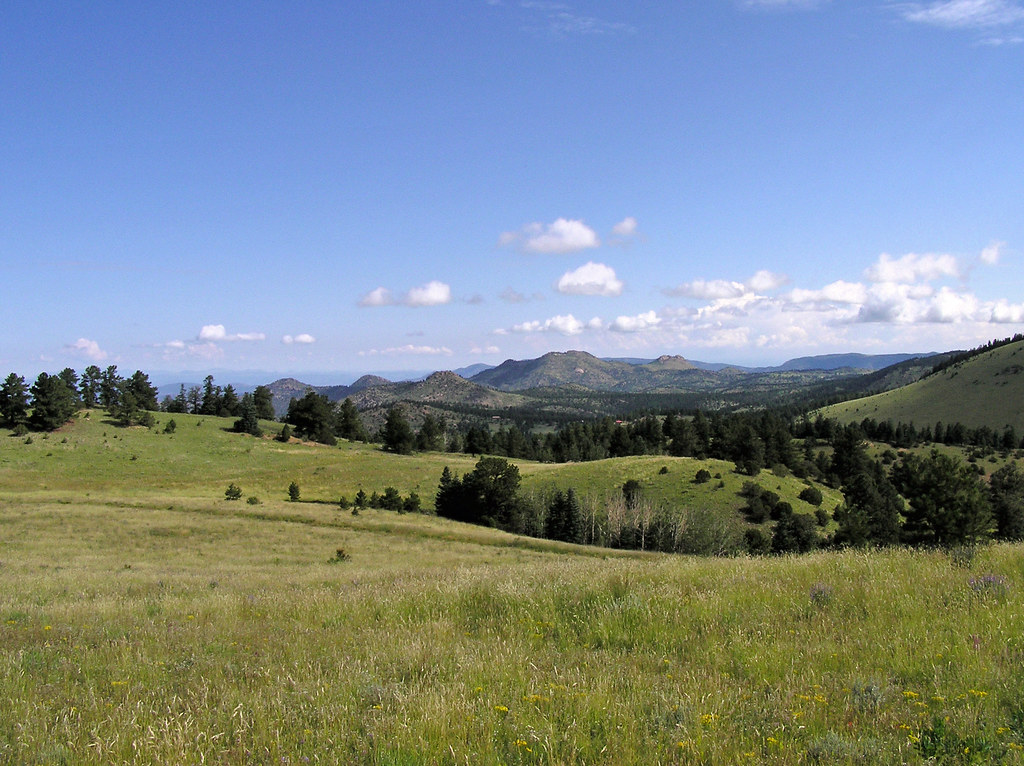
View to the N/NW form the property
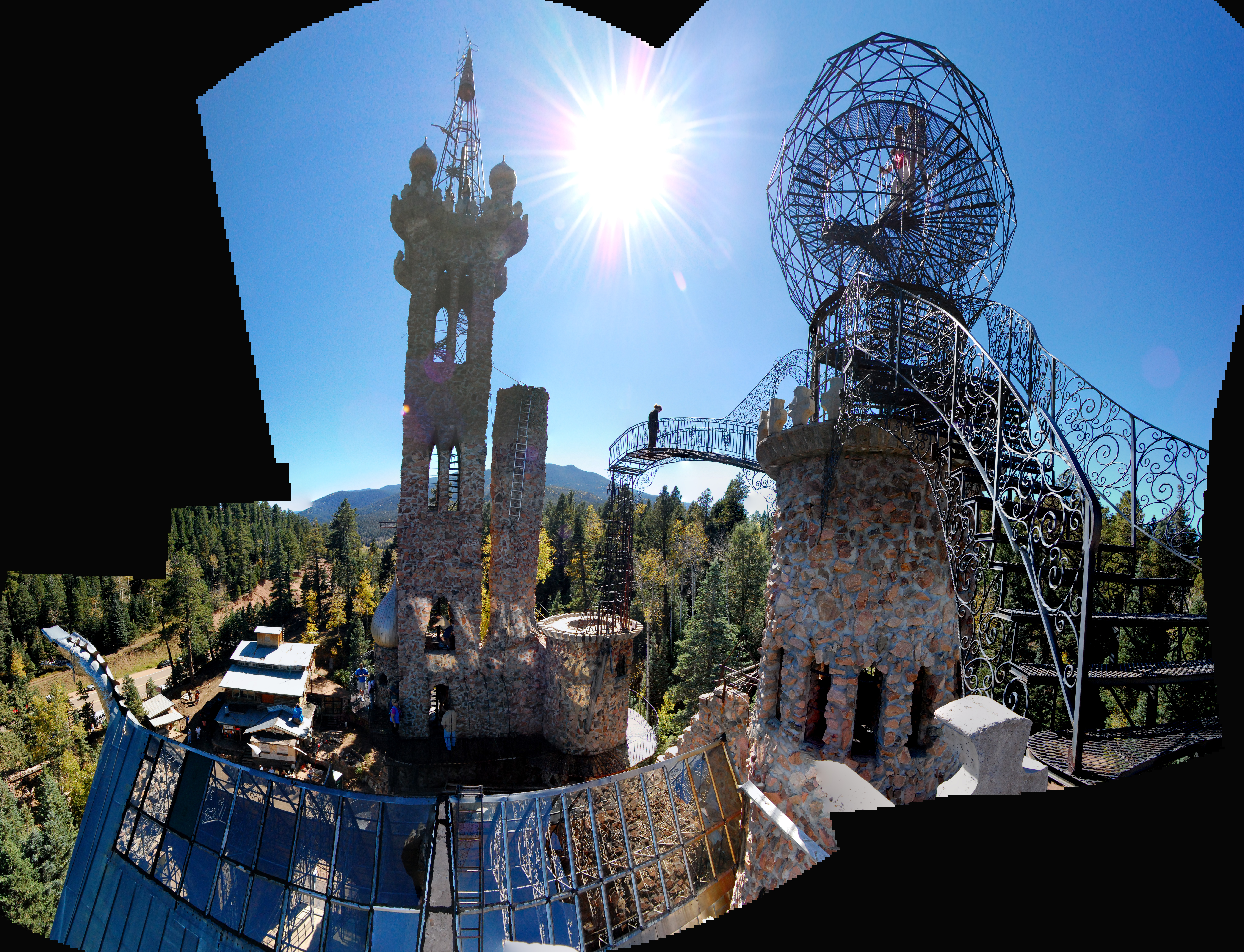
The view from the small tower
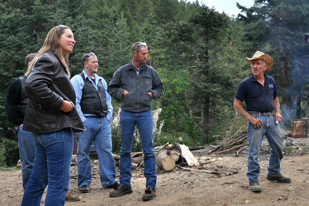
Let Me Tell You

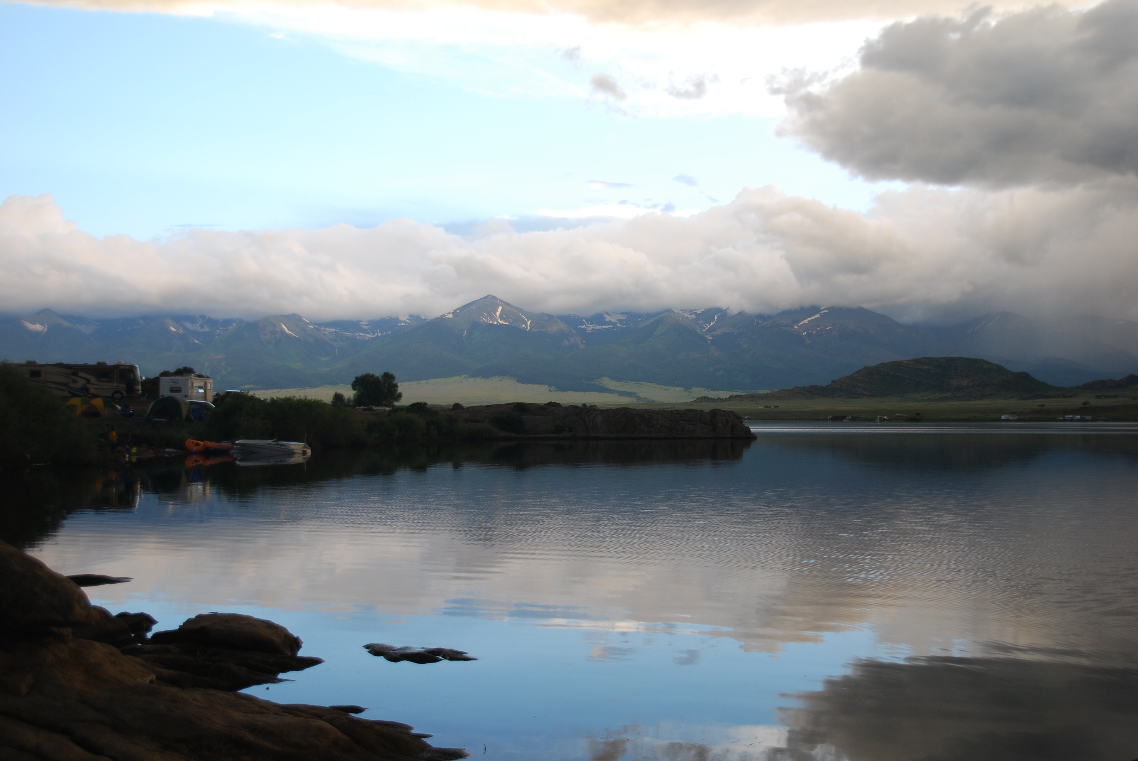
Sangre Panorama
View to the N/NW form the property

Dusty Dead End
Silvercliff History

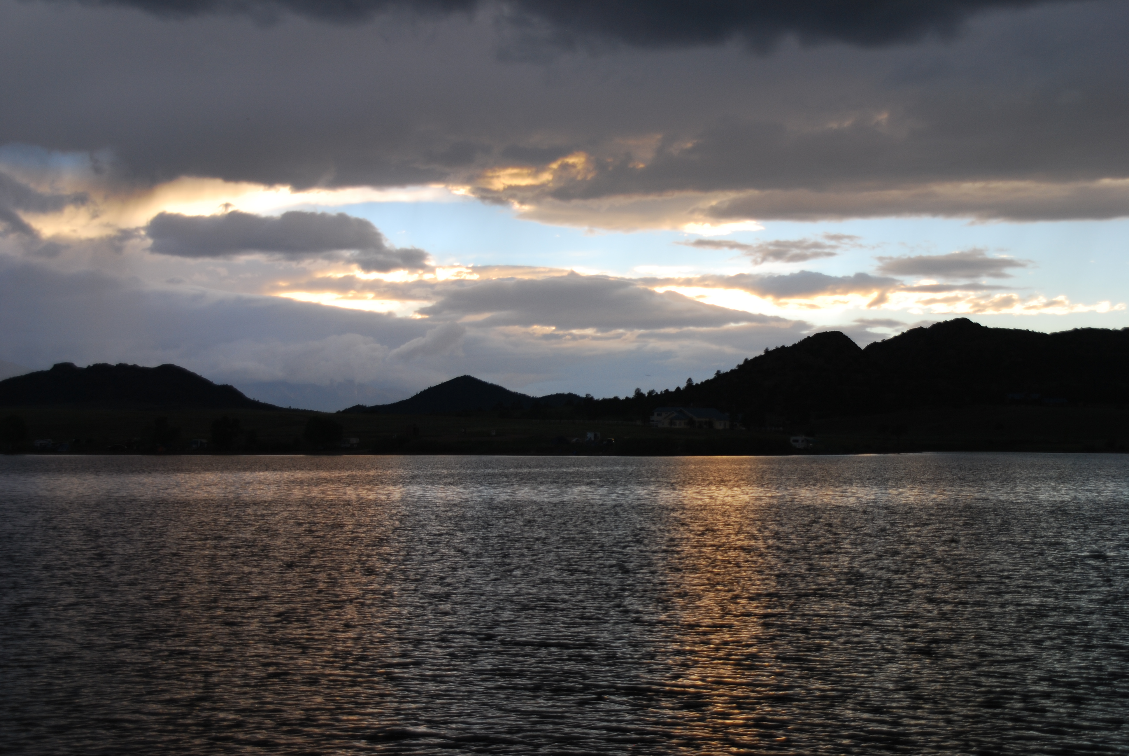
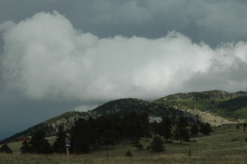
Low Clouds
ESR 4-02

30 Colorado Work Truck 1
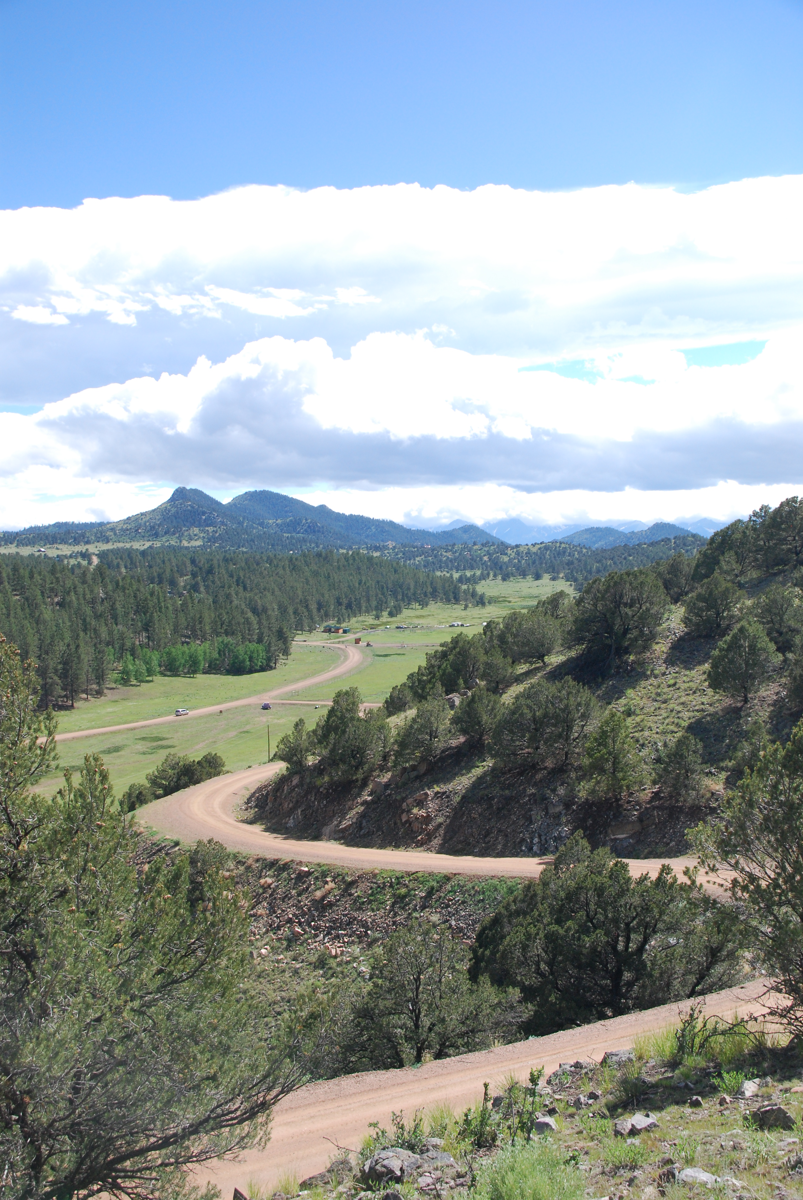
Colorado June 2015
Upon this rock...

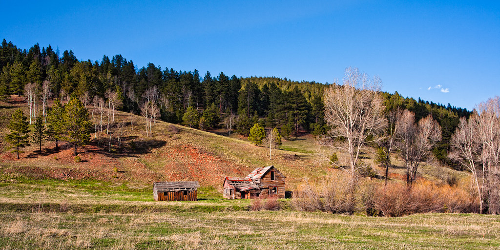
Abandoned House in the San Isabel National Forest to the Southwest of Pueblo, Colorado
Colorado June 2015

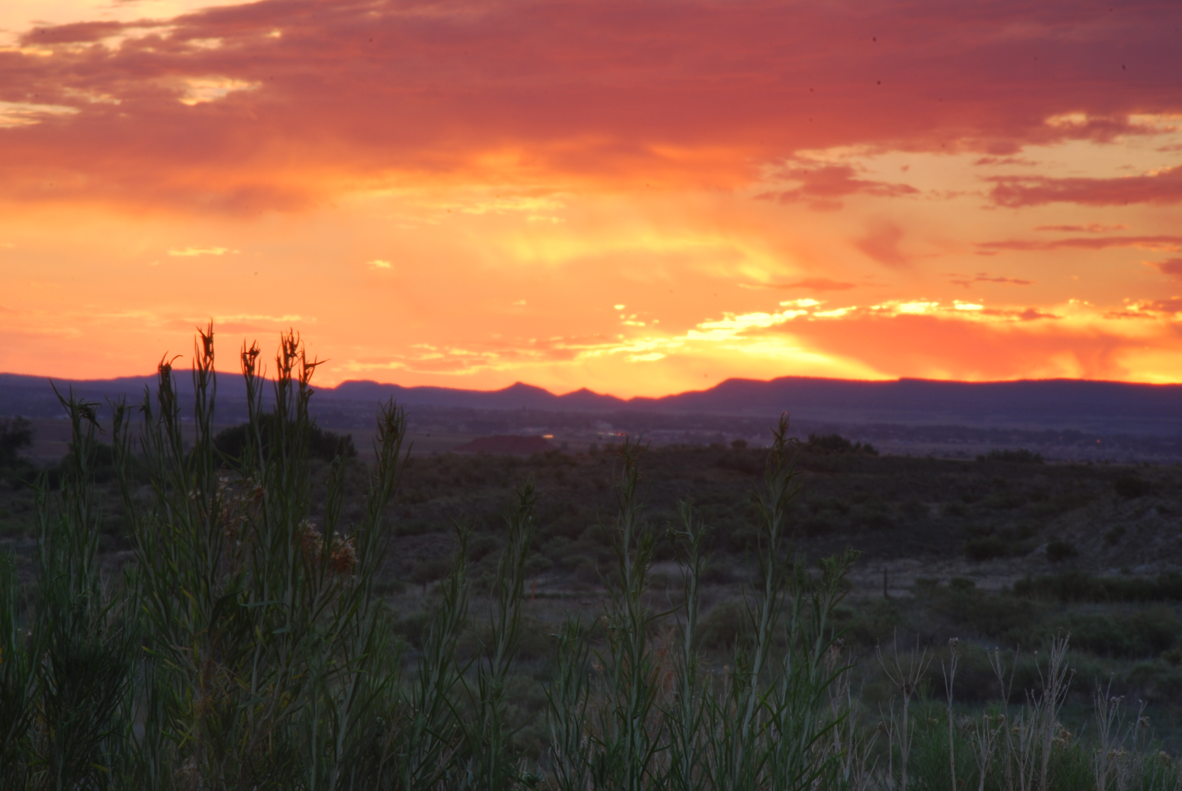
Sunset near Canon City, Colorado
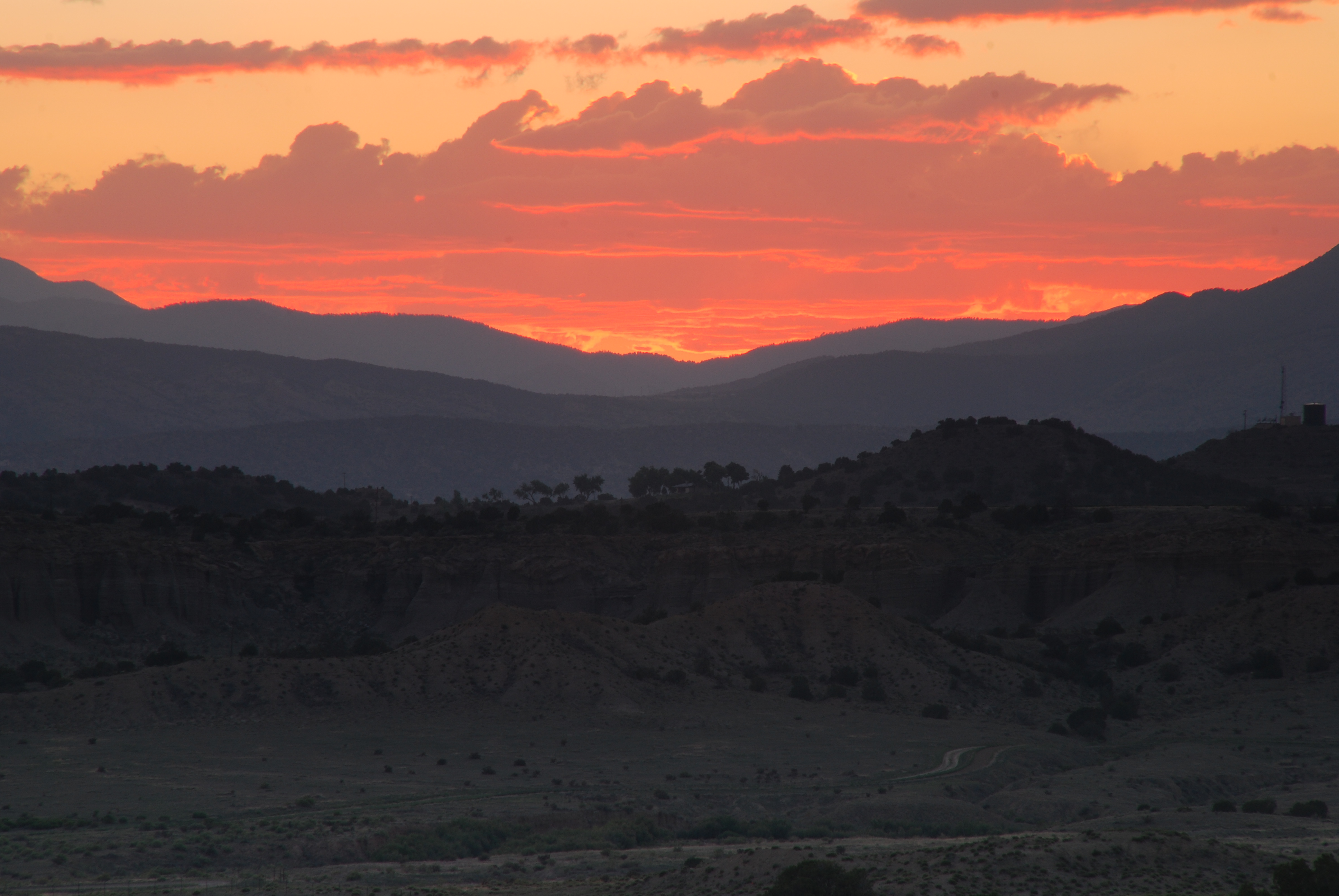
Sunset near Canon City, Colorado
ESR 2-25
ESR 2-04
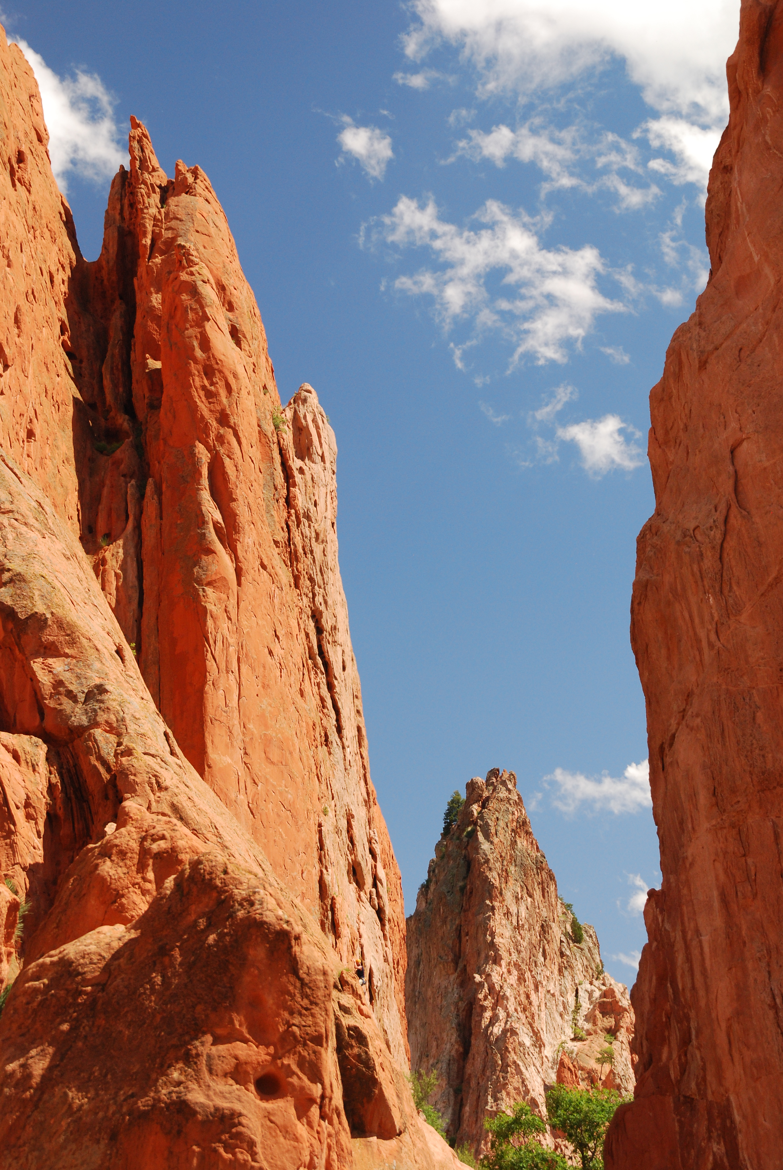
Garden of the Gods
ESR 2-22
Nice House
Clarkson Homestead
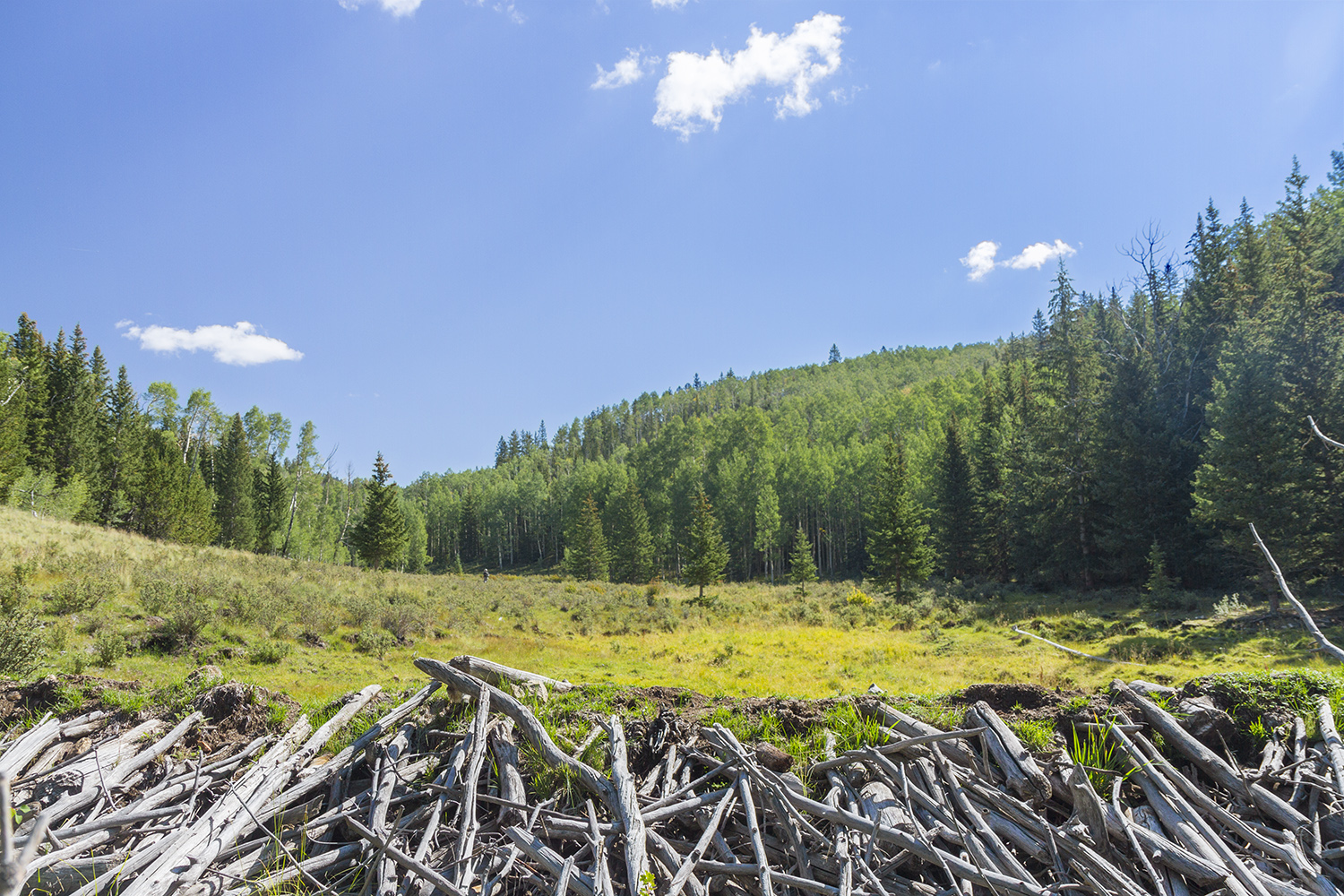
Beaver Dam
Topographic Map of Co Rd, Westcliffe, CO, USA
Find elevation by address:

Places near Co Rd, Westcliffe, CO, USA:
Eagles Gate Road
1475 Engelman Rd
2001 Junkins Loop
720 Chyleen Terrace
144 Co Rd 358
184 Pipeweed Path
143 Pipeweed Path
106 Buttercup Dr
105 Rufus Run
246 Co Rd 327
43 Matterhorn Cir S
230 Schulze Ranch Rd
997 Joy Ln
651 Larkspur Ln
212 Matterhorn Cir S
Custer County
Honeysuckle Terrace
125 Co Rd 328
1963 Music Mountain Dr
5305 Co Rd 323
Recent Searches:
- Elevation of Pykes Down, Ivybridge PL21 0BY, UK
- Elevation of Jalan Senandin, Lutong, Miri, Sarawak, Malaysia
- Elevation of Bilohirs'k
- Elevation of 30 Oak Lawn Dr, Barkhamsted, CT, USA
- Elevation of Luther Road, Luther Rd, Auburn, CA, USA
- Elevation of Unnamed Road, Respublika Severnaya Osetiya — Alaniya, Russia
- Elevation of Verkhny Fiagdon, North Ossetia–Alania Republic, Russia
- Elevation of F. Viola Hiway, San Rafael, Bulacan, Philippines
- Elevation of Herbage Dr, Gulfport, MS, USA
- Elevation of Lilac Cir, Haldimand, ON N3W 2G9, Canada