Elevation of Co Rd, Weimar, TX, USA
Location: United States > Texas > Colorado County > Weimar >
Longitude: -96.733907
Latitude: 29.718125
Elevation: 117m / 384feet
Barometric Pressure: 100KPa
Elevation Map:
Satellite Map:
Related Photos:

Through the barn

Texaco/Store, Ellinger, TX

Truck_082612_LR-328.jpg
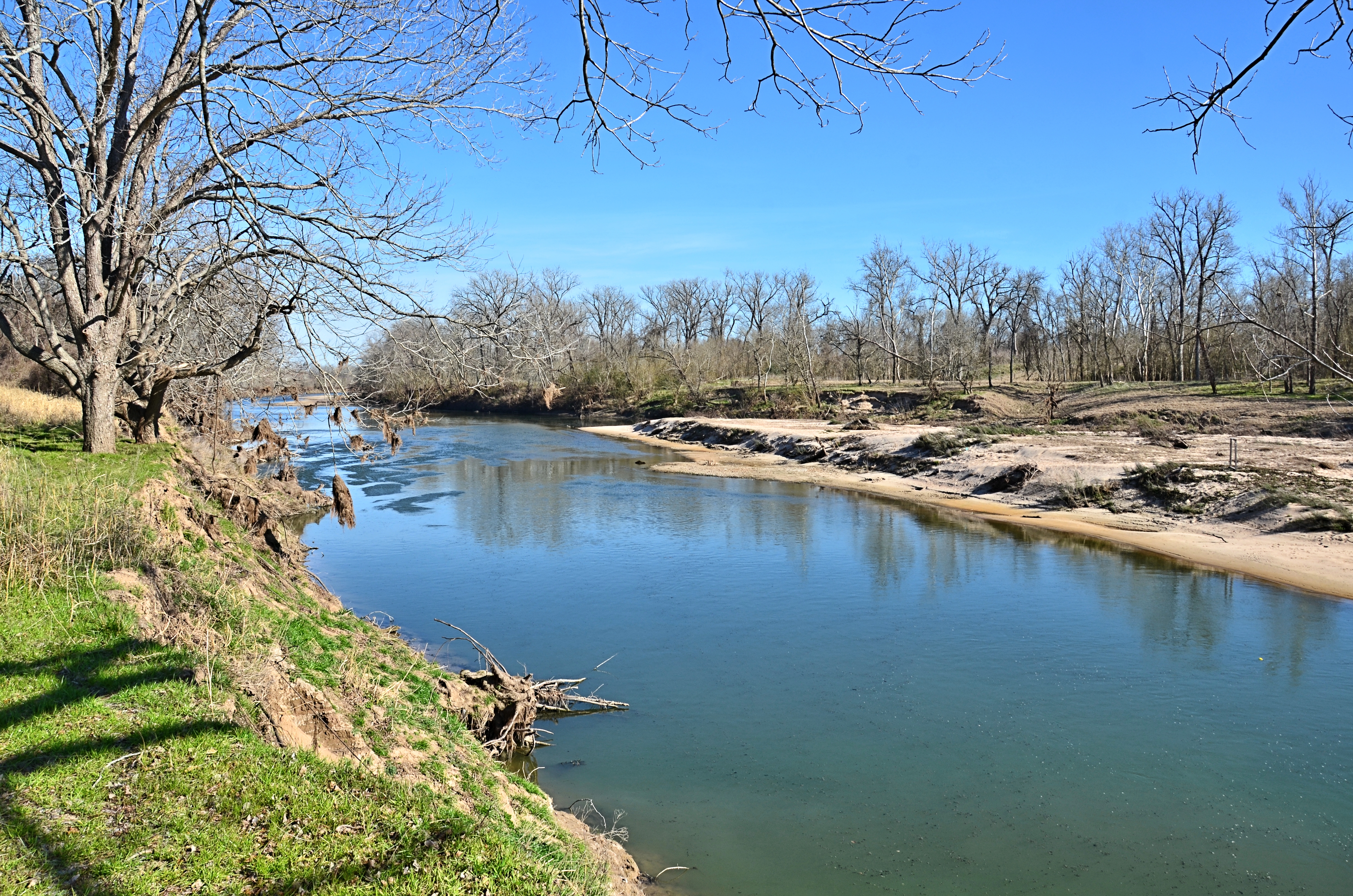
The Colorado River

Piano Trees

Piano Road II

Piano Bridge IV

Piano Bridge I

Piano Bridge IV

Piano Bridge I

Piano Bridge II

Piano Road and Bridge

Ammasville Painted Church and Paintbrushes

Piano Bridge II

Piano Road I

Orange Sky

Piano Road I

The Old Barn
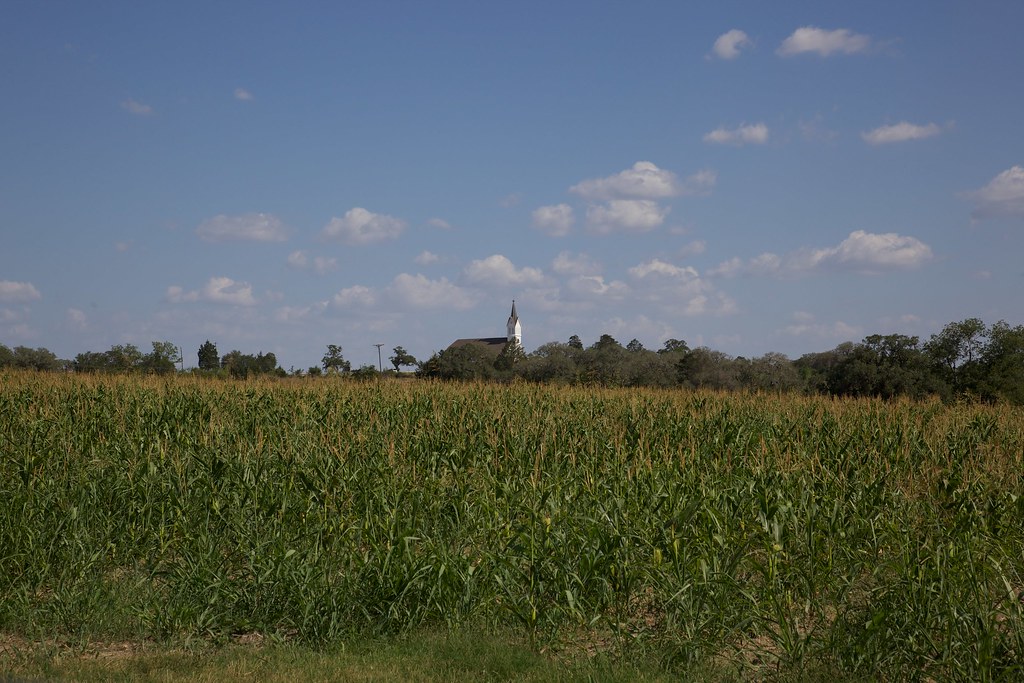
St. Mary,s

Piano Trees

Truck_082612_LR-324.jpg

Piano Road and Bridge
Topographic Map of Co Rd, Weimar, TX, USA
Find elevation by address:

Places near Co Rd, Weimar, TX, USA:
2737 Co Rd 201
2737 Co Rd 201
2737 Co Rd 201
County Road 203
3307 Fm155
Dubina
FM, La Grange, TX, USA
Ellinger
4724 Kasmiersky Rd
Cozy Corner Rd, La Grange, TX, USA
FM, Schulenburg, TX, USA
1460 Kruppa Rd
2094 Bruno Rd
967 Fm2436
415 Panorama Dr E
530 Panorama Dr E
530 Panorama Dr E
West Panorama Drive
Freyburg
Fm West Point-muldoon Ar, La Grange, TX, USA
Recent Searches:
- Elevation of Congressional Dr, Stevensville, MD, USA
- Elevation of Bellview Rd, McLean, VA, USA
- Elevation of Stage Island Rd, Chatham, MA, USA
- Elevation of Shibuya Scramble Crossing, 21 Udagawacho, Shibuya City, Tokyo -, Japan
- Elevation of Jadagoniai, Kaunas District Municipality, Lithuania
- Elevation of Pagonija rock, Kranto 7-oji g. 8"N, Kaunas, Lithuania
- Elevation of Co Rd 87, Jamestown, CO, USA
- Elevation of Tenjo, Cundinamarca, Colombia
- Elevation of Côte-des-Neiges, Montreal, QC H4A 3J6, Canada
- Elevation of Bobcat Dr, Helena, MT, USA