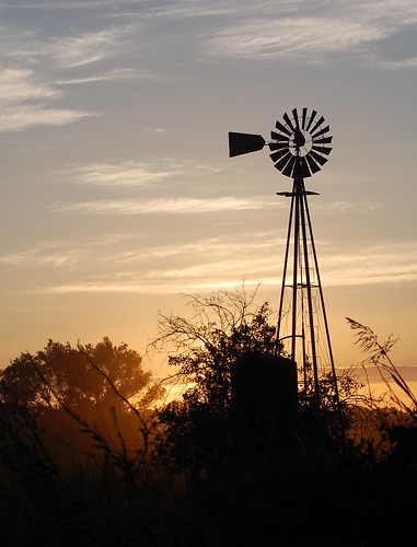
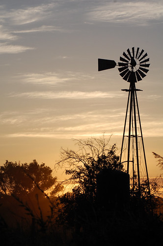
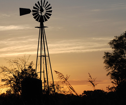
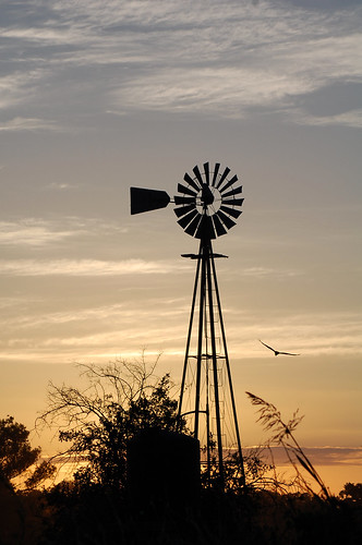
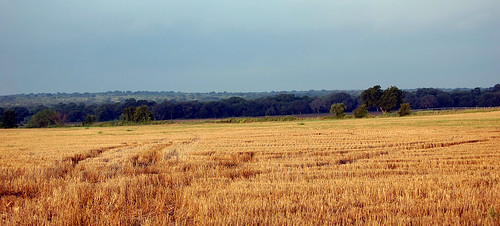
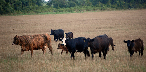
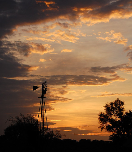
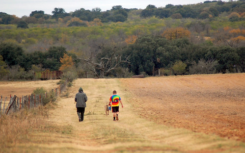
Elevation of Co Rd, Richland Springs, TX, USA
Location: United States > Texas > San Saba County >
Longitude: -99.030022
Latitude: 31.270922
Elevation: -10000m / -32808feet
Barometric Pressure: 295KPa
Related Photos:
Topographic Map of Co Rd, Richland Springs, TX, USA
Find elevation by address:

Places near Co Rd, Richland Springs, TX, USA:
FM, Brownwood, TX, USA
Mcculloch County
Co Rd, Brookesmith, TX, USA
San Saba County
Brookesmith
2005 W Commerce St
San Saba
C R 110
Brady
101 C R 430
Co Rd, Santa Anna, TX, USA
County Road, Early, TX, USA
Farm To Market Road 1480
Co Rd, Zephyr, TX, USA
2501 4th St
Cherokee
Brownwood
501 4th St
Bangs
Mullin
Recent Searches:
- Elevation of 6 Rue Jules Ferry, Beausoleil, France
- Elevation of Sattva Horizon, 4JC6+G9P, Vinayak Nagar, Kattigenahalli, Bengaluru, Karnataka, India
- Elevation of Great Brook Sports, Gold Star Hwy, Groton, CT, USA
- Elevation of 10 Mountain Laurels Dr, Nashua, NH, USA
- Elevation of 16 Gilboa Ln, Nashua, NH, USA
- Elevation of Laurel Rd, Townsend, TN, USA
- Elevation of 3 Nestling Wood Dr, Long Valley, NJ, USA
- Elevation of Ilungu, Tanzania
- Elevation of Yellow Springs Road, Yellow Springs Rd, Chester Springs, PA, USA
- Elevation of Rēzekne Municipality, Latvia
