Elevation of Co Rd, Ona, FL, USA
Location: United States > Florida > Hardee County > Ona >
Longitude: -81.968279
Latitude: 27.367013
Elevation: 21m / 69feet
Barometric Pressure: 101KPa
Elevation Map:
Satellite Map:
Related Photos:
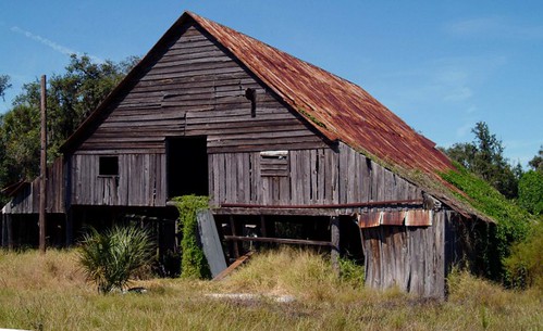
Deserted Barn in the ghost town of Castalia, Florida - 3300+ views

_D2_7154.jpg

_D2_7971.jpg

_D2_0600.jpg
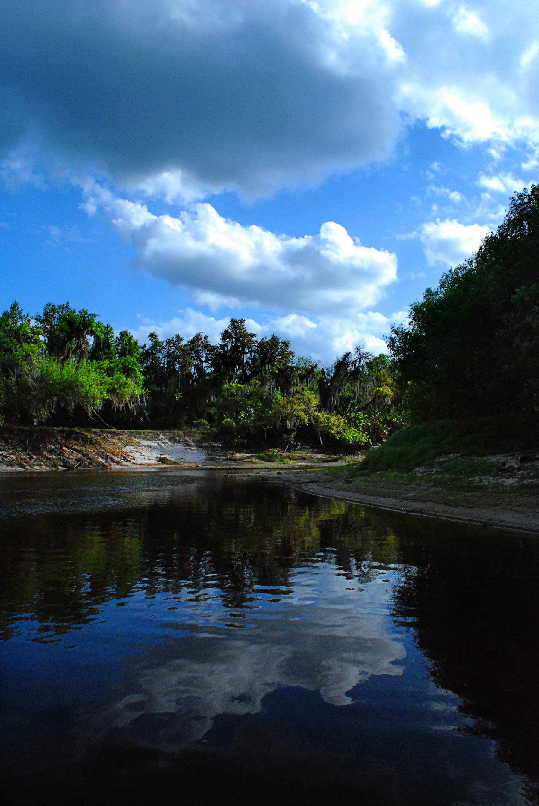
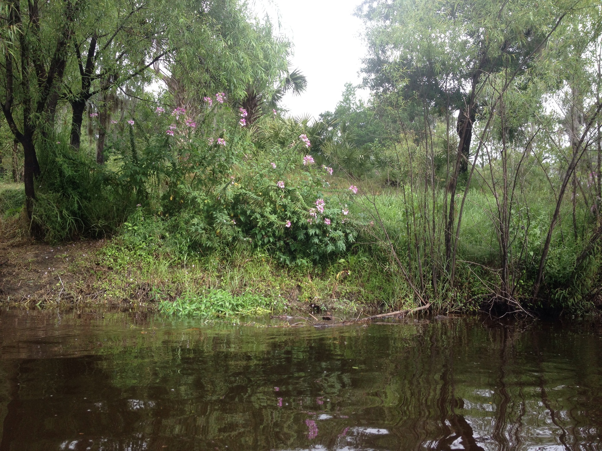
Peace River in March

Enchanted Forest
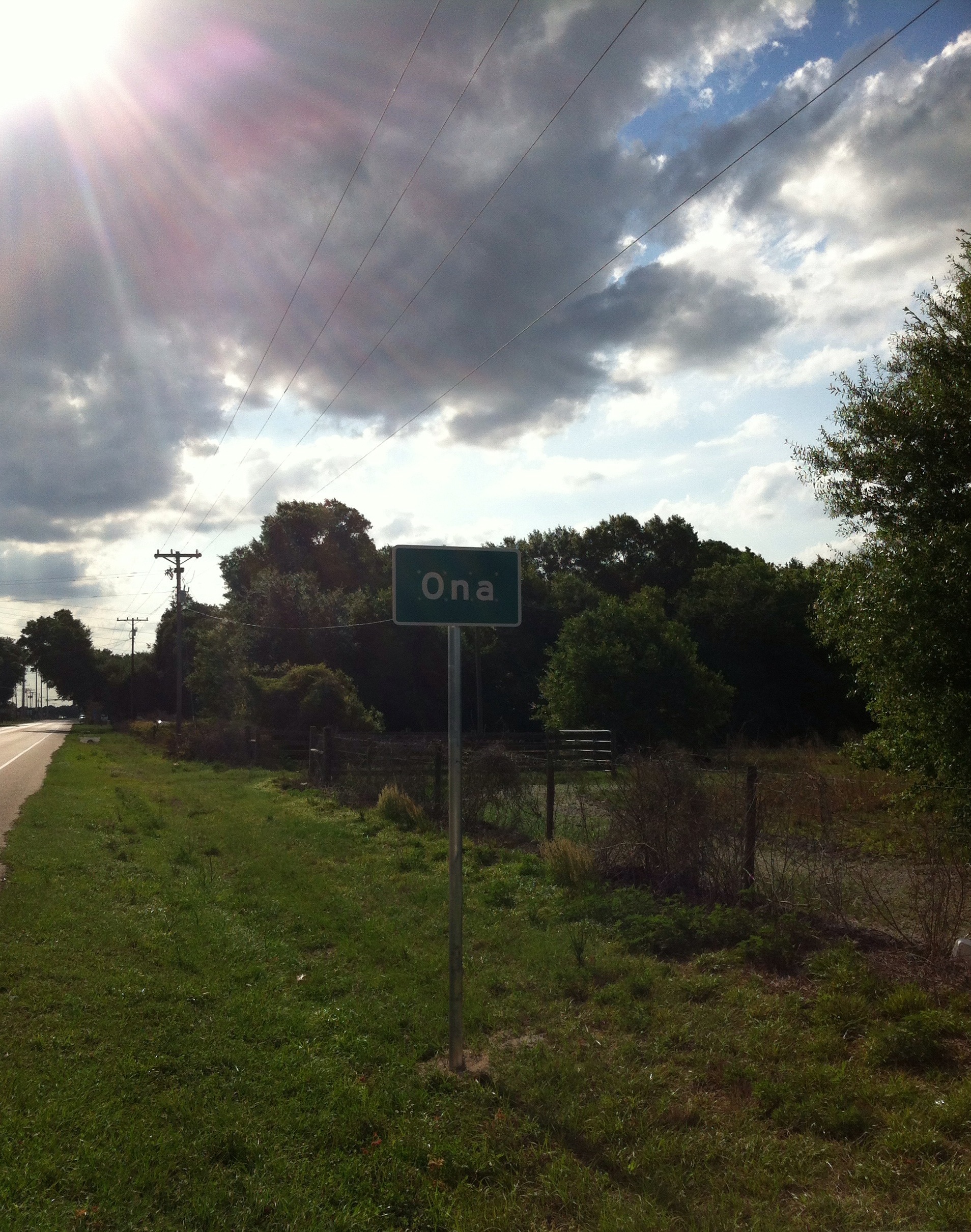
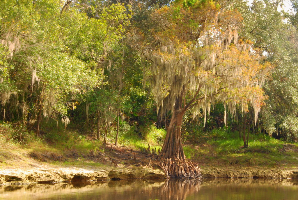
Ona Florida
peace river 2
Peace River Landscape, Florida
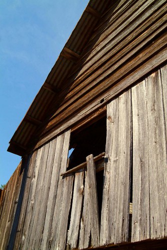
Barn Window
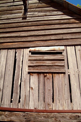
Barn Window

Country Oak
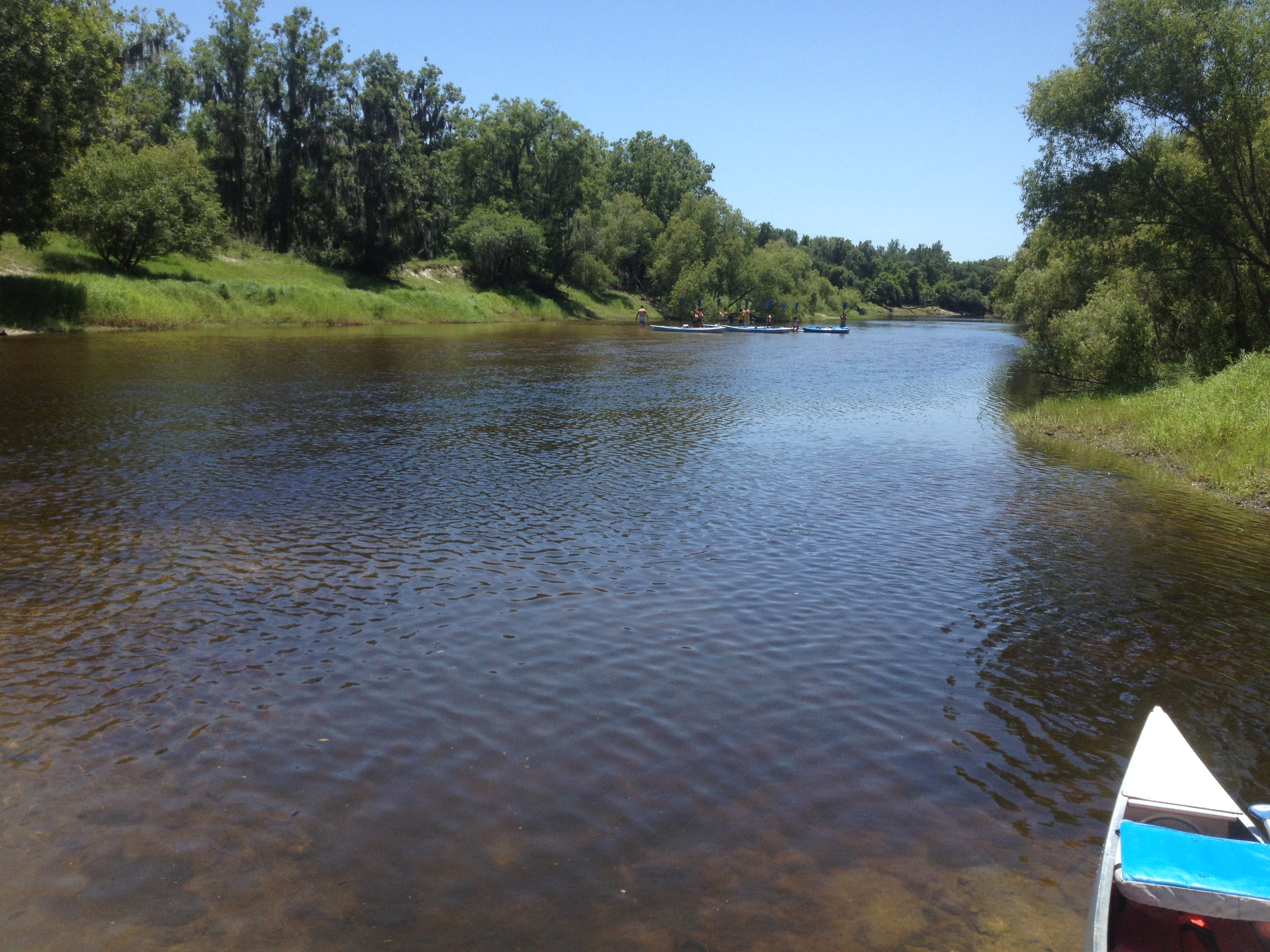
Canoe Trip Mar 2014
Topographic Map of Co Rd, Ona, FL, USA
Find elevation by address:

Places near Co Rd, Ona, FL, USA:
Solomon Road
3702 Co Rd 665
46610 Fl-70
Sugarbowl Rd, Myakka City, FL, USA
12700 Sugarbowl Rd
12700 Sugarbowl Rd
12700 Sugarbowl Rd
7205 Wauchula Rd
14725 Sugarbowl Rd
Sugarbowl Rd, Myakka City, FL, USA
Myakka City
13935 Mj Rd
14608 Mj Rd
Ogleby Creek Road
12535 River Rd
12615 River Rd
12711 River Rd
12515 River Rd
River Road
35957 State Rd 70 E
Recent Searches:
- Elevation of Lampiasi St, Sarasota, FL, USA
- Elevation of Elwyn Dr, Roanoke Rapids, NC, USA
- Elevation of Congressional Dr, Stevensville, MD, USA
- Elevation of Bellview Rd, McLean, VA, USA
- Elevation of Stage Island Rd, Chatham, MA, USA
- Elevation of Shibuya Scramble Crossing, 21 Udagawacho, Shibuya City, Tokyo -, Japan
- Elevation of Jadagoniai, Kaunas District Municipality, Lithuania
- Elevation of Pagonija rock, Kranto 7-oji g. 8"N, Kaunas, Lithuania
- Elevation of Co Rd 87, Jamestown, CO, USA
- Elevation of Tenjo, Cundinamarca, Colombia