Elevation of Co Rd, New Castle, CO, USA
Location: United States > Colorado > New Castle >
Longitude: -107.52242
Latitude: 39.5659922
Elevation: 1709m / 5607feet
Barometric Pressure: 82KPa
Elevation Map:
Satellite Map:
Related Photos:

South Cañon Bridge, Glenwood Springs, Colorado

Glenwood Springs, CO
View from Storm King Mountain Trail

Proud To Be In The Parade

Back of the New Blizzard Interent Building

View from the road near Glenwood Springs

#amazing bedroom window view.

on-the-road-colorado

What a morning view! #colorado #glenwoodsprings #terrellfamilyvacation
Our view at dinner. #eatingoutside

The views were unbelievable driving through Colorado.

Just another morning in Glenwood Springs.

We were waving from such great heights

Interstate 70 rest area

High summer day near Glenwood Springs

Your Heritage Is Showing

Highball Chacra

"Aspens typically grow in large clonal colonies, derived from a single seedling, and spread by means of root suckers; new stems in the colony may appear at up to 30–40m from the parent tree. Each individual tree can live for 40–150 years above ground, but

Switchbacks to Clinetop Mesa

UP LDF52 16 What Was Thought To Be The Last

I Want To Be Engulfed In Nothing
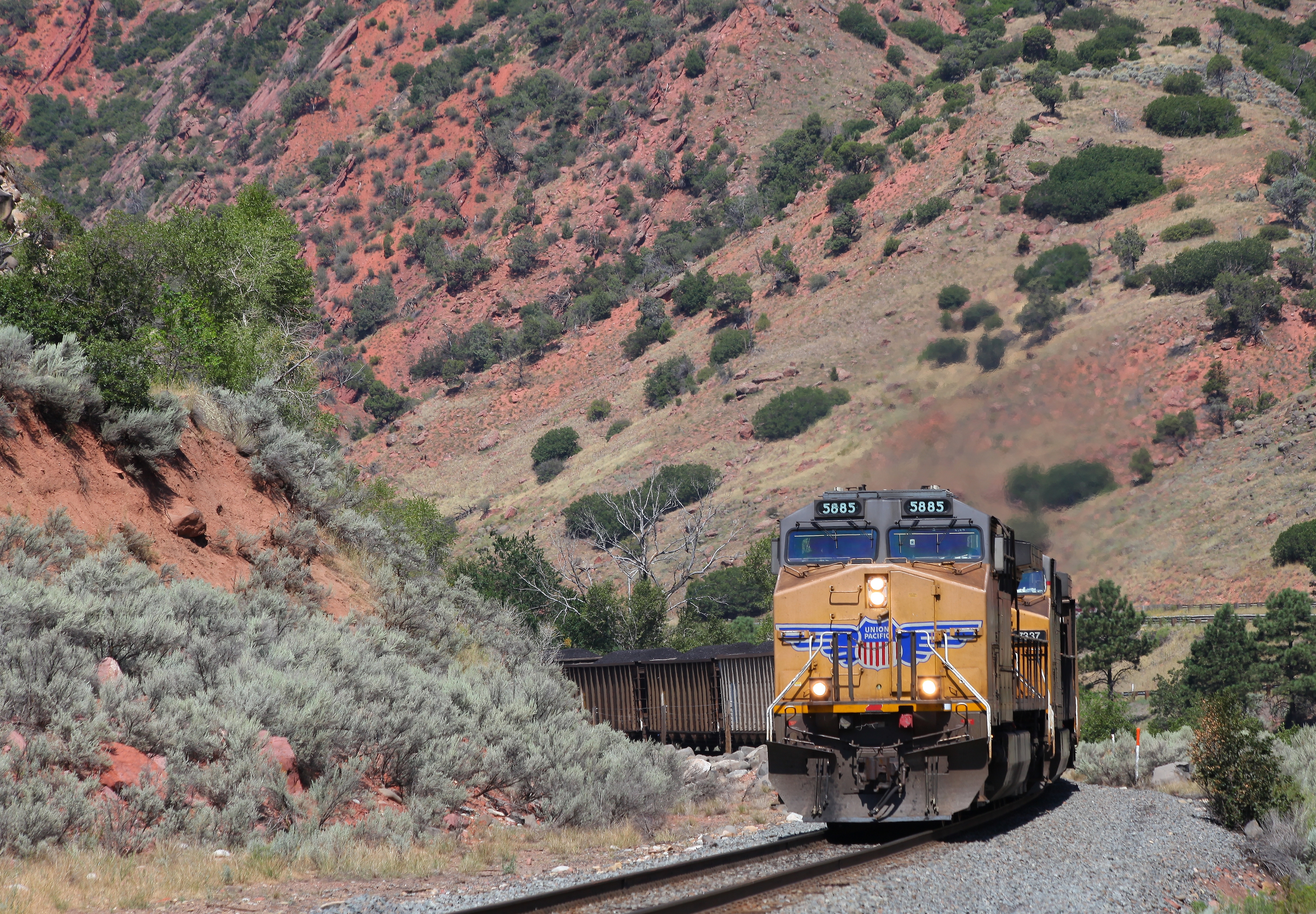
UP CWEMS9 17 Dwindling In The West

Mt. Garfield in Colorado
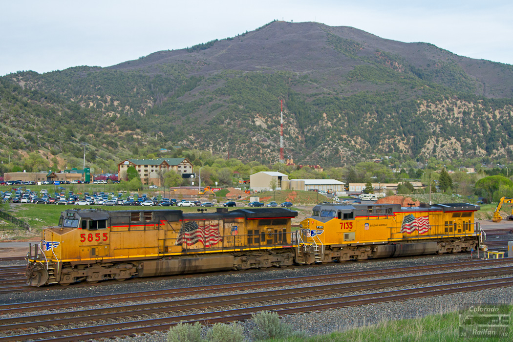
Idling in Glenwood

Glenwood Whitewater Park on the Colorado River in Glenwood Springs, Colorado

Amtrak California Zephyr

Amtrak California Zephyr

Amtrak California Zephyr

Amtrak California Zephyr
Topographic Map of Co Rd, New Castle, CO, USA
Find elevation by address:

Places near Co Rd, New Castle, CO, USA:
150 Lakota Dr
Castle Valley Boulevard
788 Castle Valley Blvd
55 Redstone Dr
136 S Wildhorse Dr
62 Foxwood Ln
869 Ute Cir
Faas Ranch Road
310 Maroon Ct
New Castle
151 Current Dr
12 Antler Loop
Lakota Canyon Golf Club
917 Co Rd 241
Chacra
45755 Us-6
US-6, Glenwood Springs, CO, USA
Bed & Breakfast On Mitchell Creek
Hwy 6, Glenwood Springs, CO, USA
Glenwood Springs Golf Club
Recent Searches:
- Elevation of 15th Ave SE, St. Petersburg, FL, USA
- Elevation of Beall Road, Beall Rd, Florida, USA
- Elevation of Leguwa, Nepal
- Elevation of County Rd, Enterprise, AL, USA
- Elevation of Kolchuginsky District, Vladimir Oblast, Russia
- Elevation of Shustino, Vladimir Oblast, Russia
- Elevation of Lampiasi St, Sarasota, FL, USA
- Elevation of Elwyn Dr, Roanoke Rapids, NC, USA
- Elevation of Congressional Dr, Stevensville, MD, USA
- Elevation of Bellview Rd, McLean, VA, USA