Elevation of Co Rd, Minter, AL, USA
Location: United States > Alabama > Dallas County > Minter >
Longitude: -86.9871
Latitude: 32.1961
Elevation: 76m / 249feet
Barometric Pressure: 100KPa
Elevation Map:
Satellite Map:
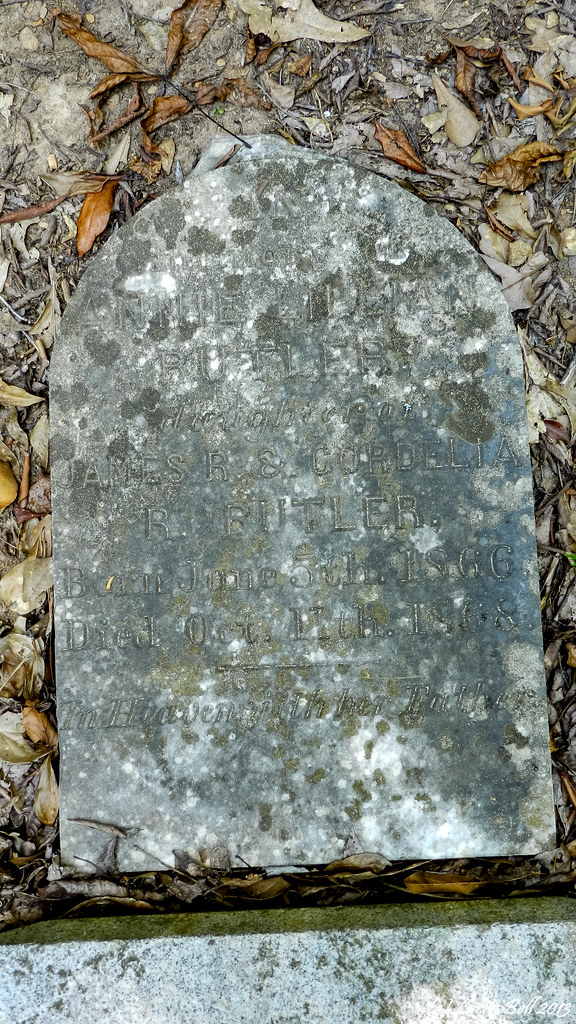
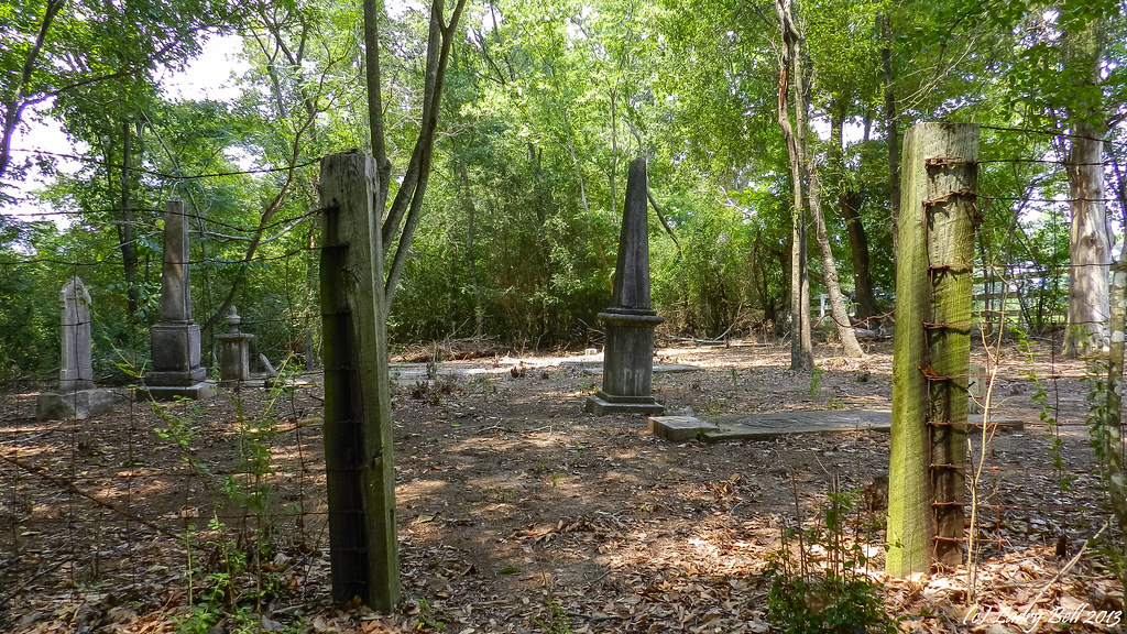
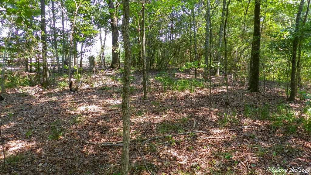
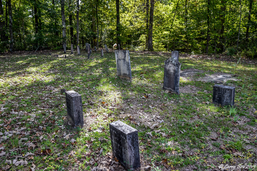
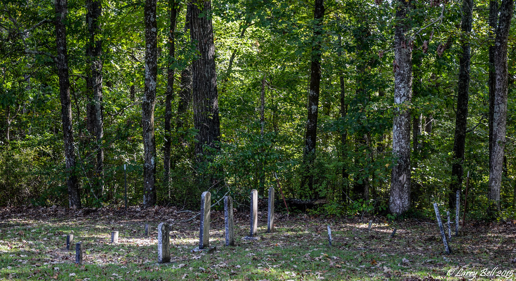
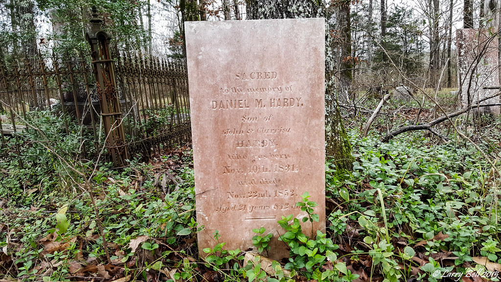
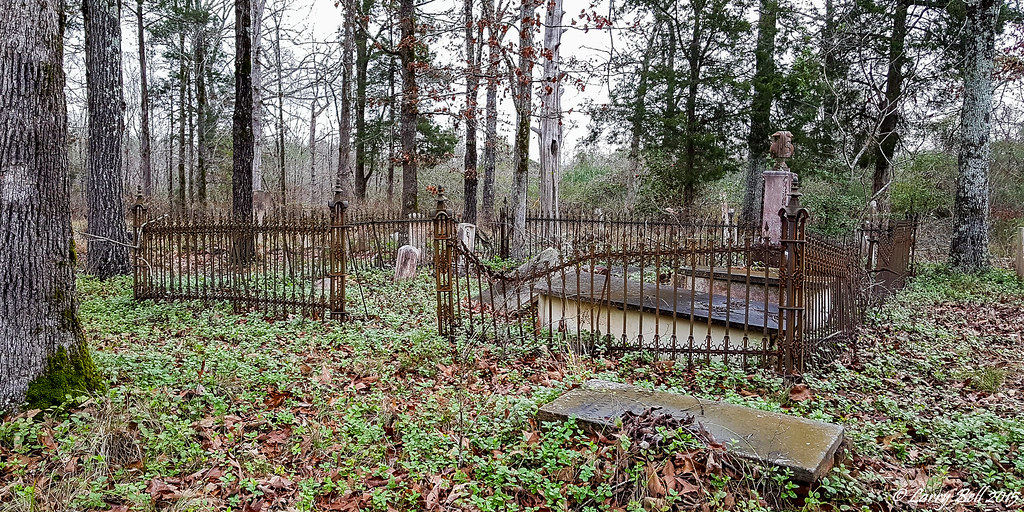
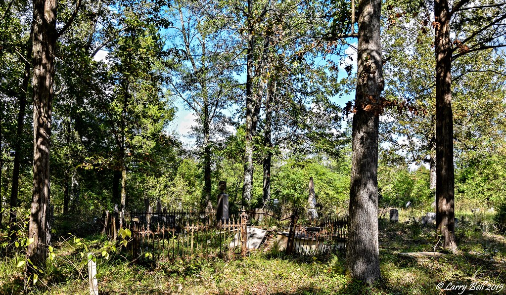
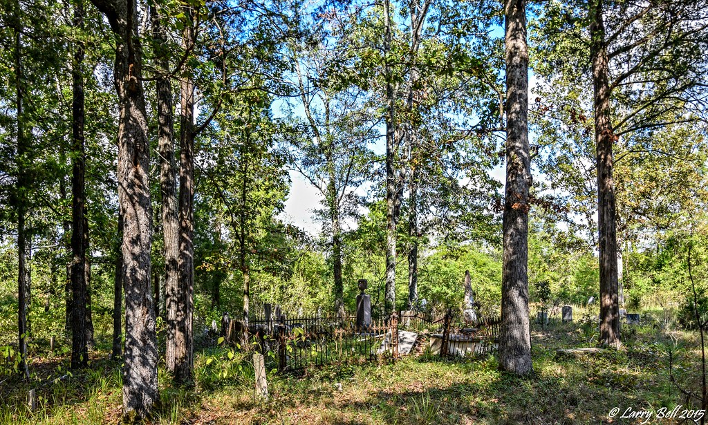
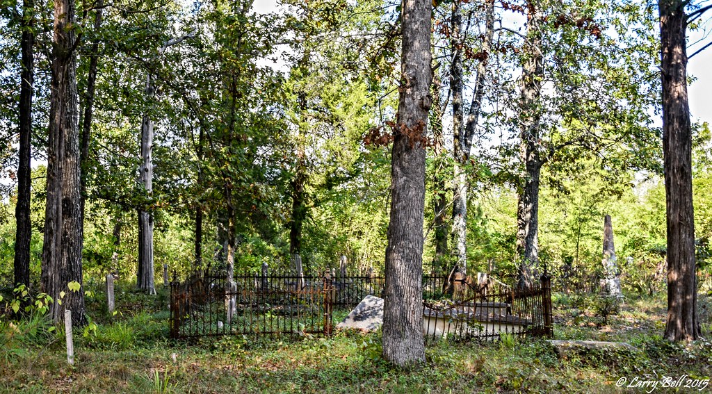
Related Photos:
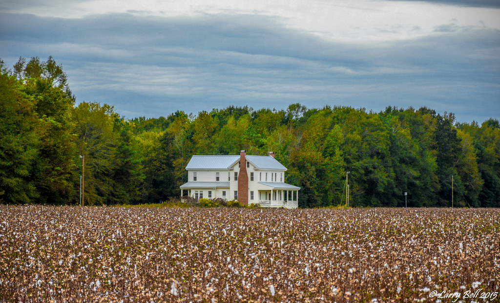
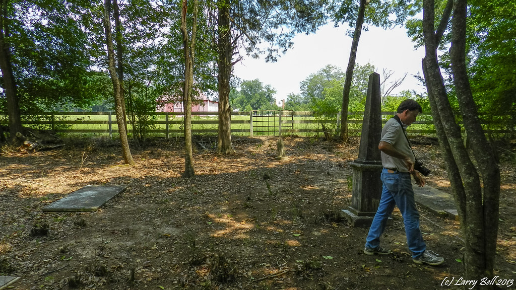
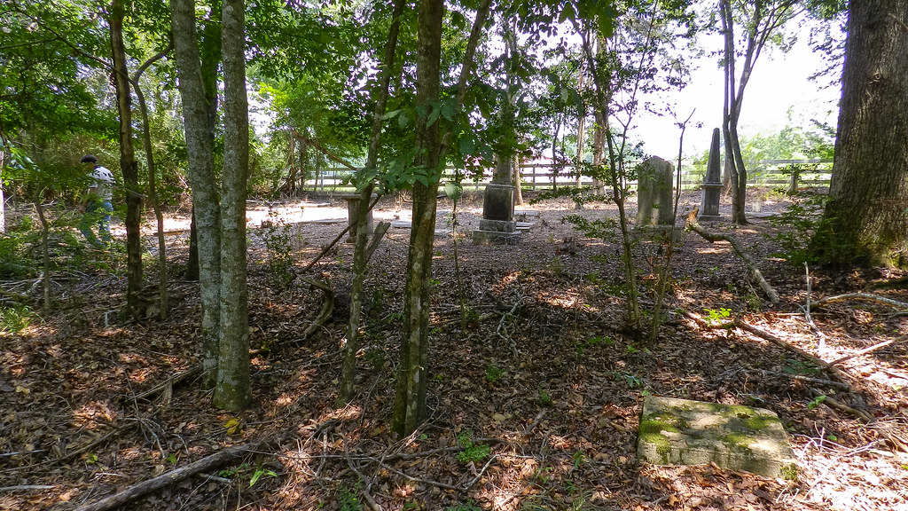
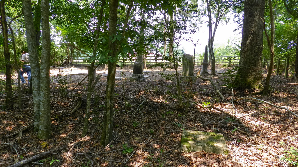
The Molette House

The Molette House
DSCN3829.jpg

DSCN3369.jpg

DSCN3368.jpg
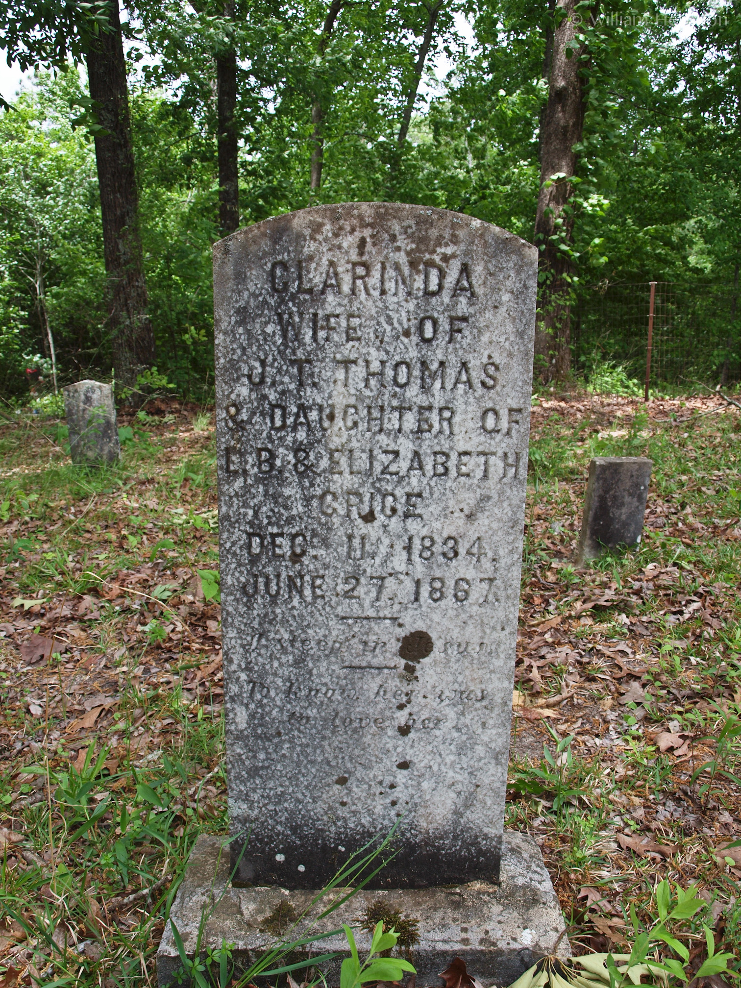
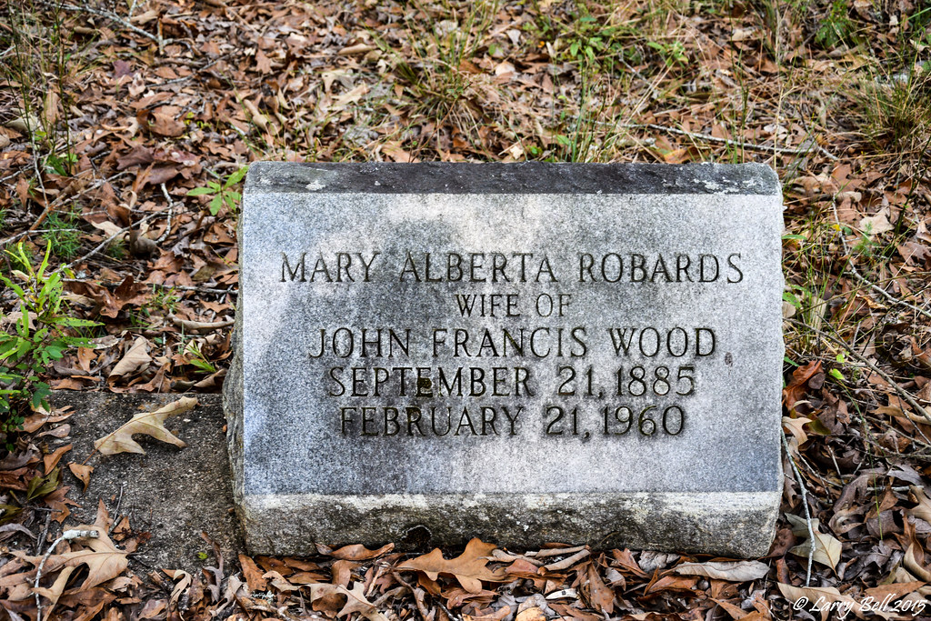
Marina Clarinda (Grice) Thomas

DSCN3870.jpg
DSCN3871.jpg
DSCN3858.jpg
DSC_0300.jpg
DSC_0312.jpg
20160109_151714.jpg

20160109_150950.jpg
20160109_150943.jpg
DSC_0241.jpg
DSC_0240.jpg
DSC_0239.jpg
DSC_0232.jpg
DSCN3867.jpg
DSCN3864.jpg
DSCN3863.jpg
Topographic Map of Co Rd, Minter, AL, USA
Find elevation by address:

Places near Co Rd, Minter, AL, USA:
Pleasant Hill
Pleasant Hill
Sardis
Co Rd, Minter, AL, USA
Cedar Lawn Dr, Sardis, AL, USA
Minter
US-80, Selma, AL, USA
Alabama
10 Co Rd 482
Dallas County
Co Rd, Orrville, AL, USA
Co Rd, Minter, AL, USA
Co Rd, Orrville, AL, USA
Prairie Creek Road
Darlington Rd, Camden, AL, USA
Allenton Rd, Pine Apple, AL, USA
Allenton Rd, Pine Apple, AL, USA
AL-10, Pine Apple, AL, USA
AL-10, Pine Apple, AL, USA
Pine Apple
Recent Searches:
- Elevation of Unnamed Road, Respublika Severnaya Osetiya — Alaniya, Russia
- Elevation of Verkhny Fiagdon, North Ossetia–Alania Republic, Russia
- Elevation of F. Viola Hiway, San Rafael, Bulacan, Philippines
- Elevation of Herbage Dr, Gulfport, MS, USA
- Elevation of Lilac Cir, Haldimand, ON N3W 2G9, Canada
- Elevation of Harrod Branch Road, Harrod Branch Rd, Kentucky, USA
- Elevation of Wyndham Grand Barbados Sam Lords Castle All Inclusive Resort, End of Belair Road, Long Bay, Bridgetown Barbados
- Elevation of Iga Trl, Maggie Valley, NC, USA
- Elevation of N Co Rd 31D, Loveland, CO, USA
- Elevation of Lindever Ln, Palmetto, FL, USA