Elevation of Co Rd, Mingus, TX, USA
Location: United States > Texas > Erath County > Mingus >
Longitude: -98.467301
Latitude: 32.3936269
Elevation: 370m / 1214feet
Barometric Pressure: 97KPa
Elevation Map:
Satellite Map:
Related Photos:
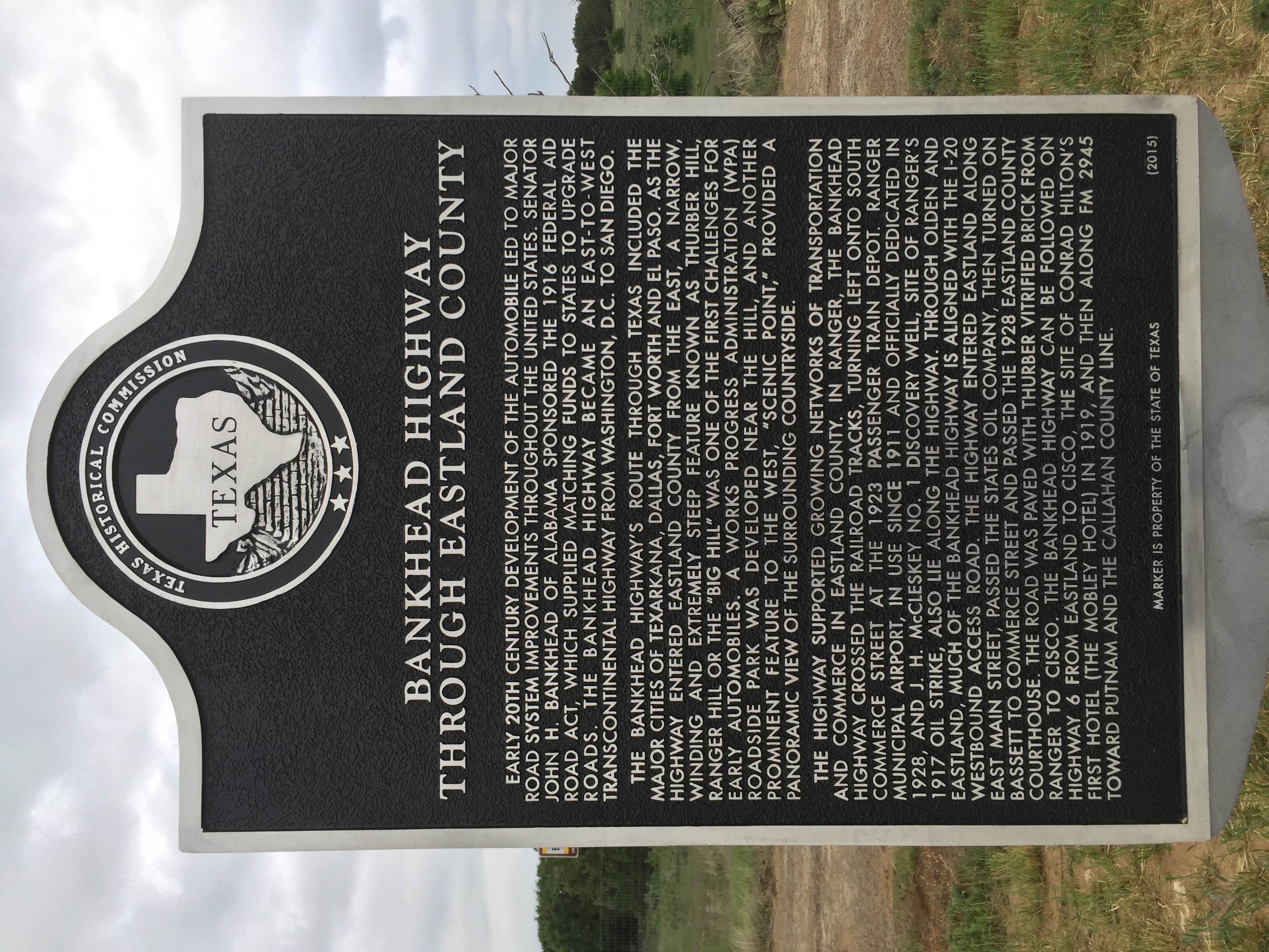
Bankhead Highway Through Eastland County TxHM
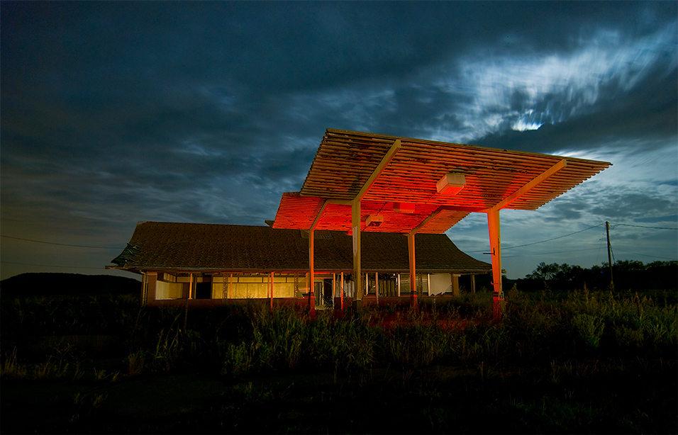
Stuckey's
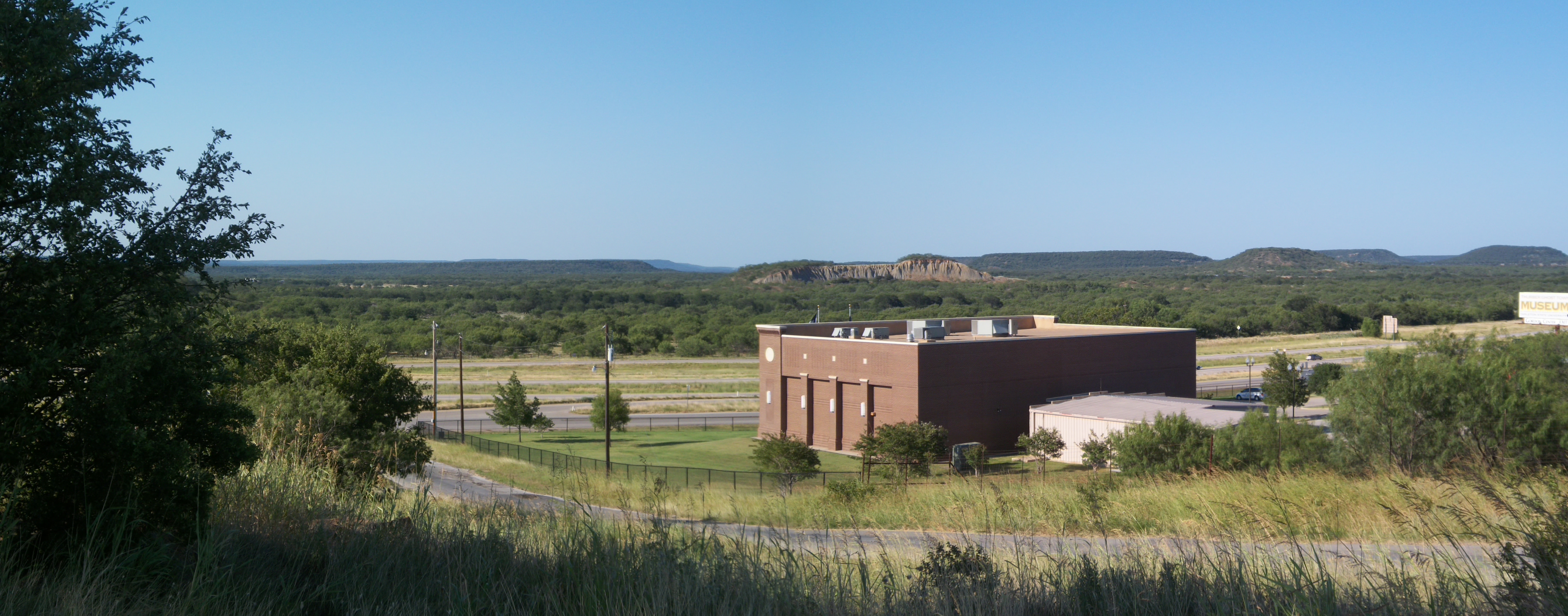
Palo Pinto Mountains Panoramic, Thurber, Texas
Thurber, Texas
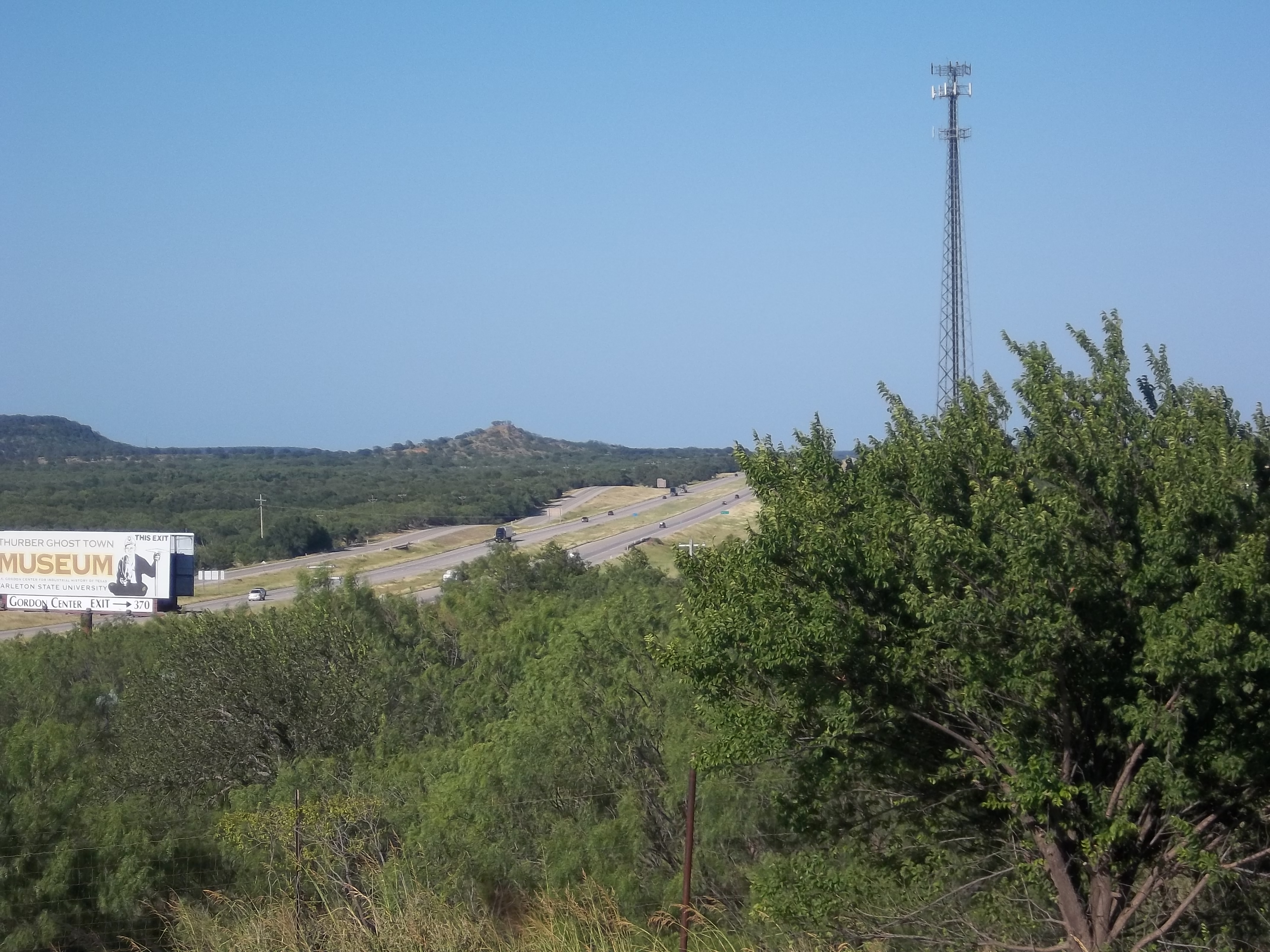
I-20 Through the Hills, Thurber, Texas
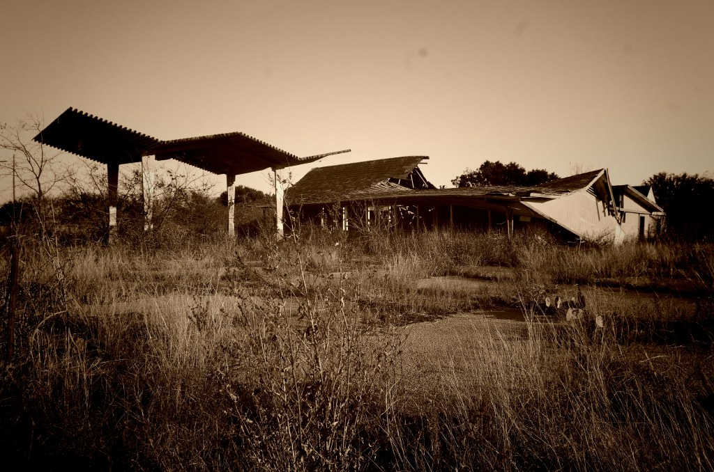
Abandoned Stuckey's
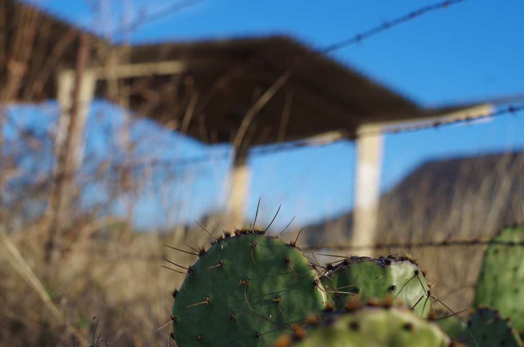
Prickley!
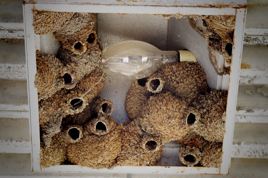
YIKES, DON'T TURN ON THAT LIGHT!

Amber have a big heart ♥ She always rescue turtles off the road and bring them to the safe side. Share love everywhere #Texas #TX #SamoSoviet #Rescue #Peace
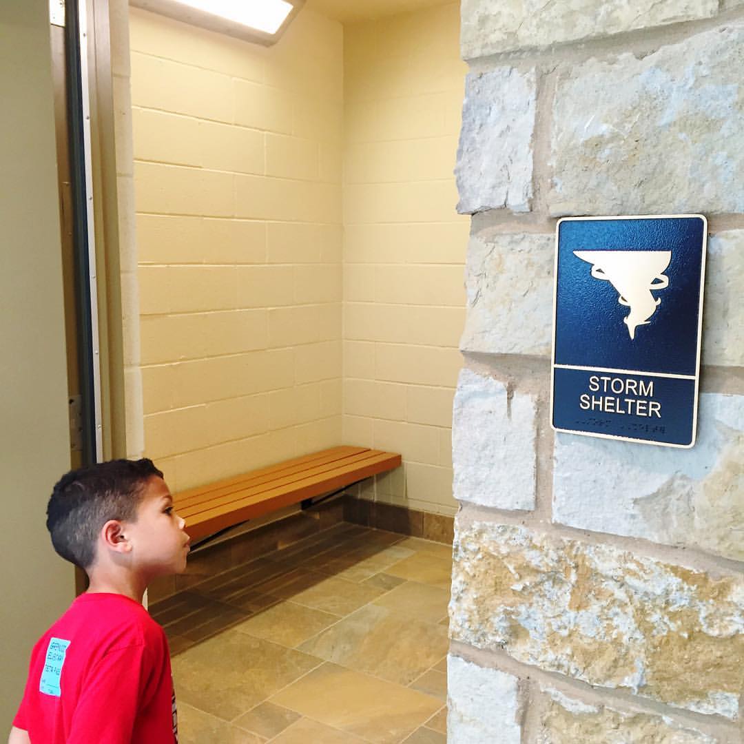
Daddy Bruce, are you sure that this is where the tornados go to the potty? #igtexas #roadtrip #5yroldboys #granddads #kadensworld #txdot #visitorcenter #rangerhill
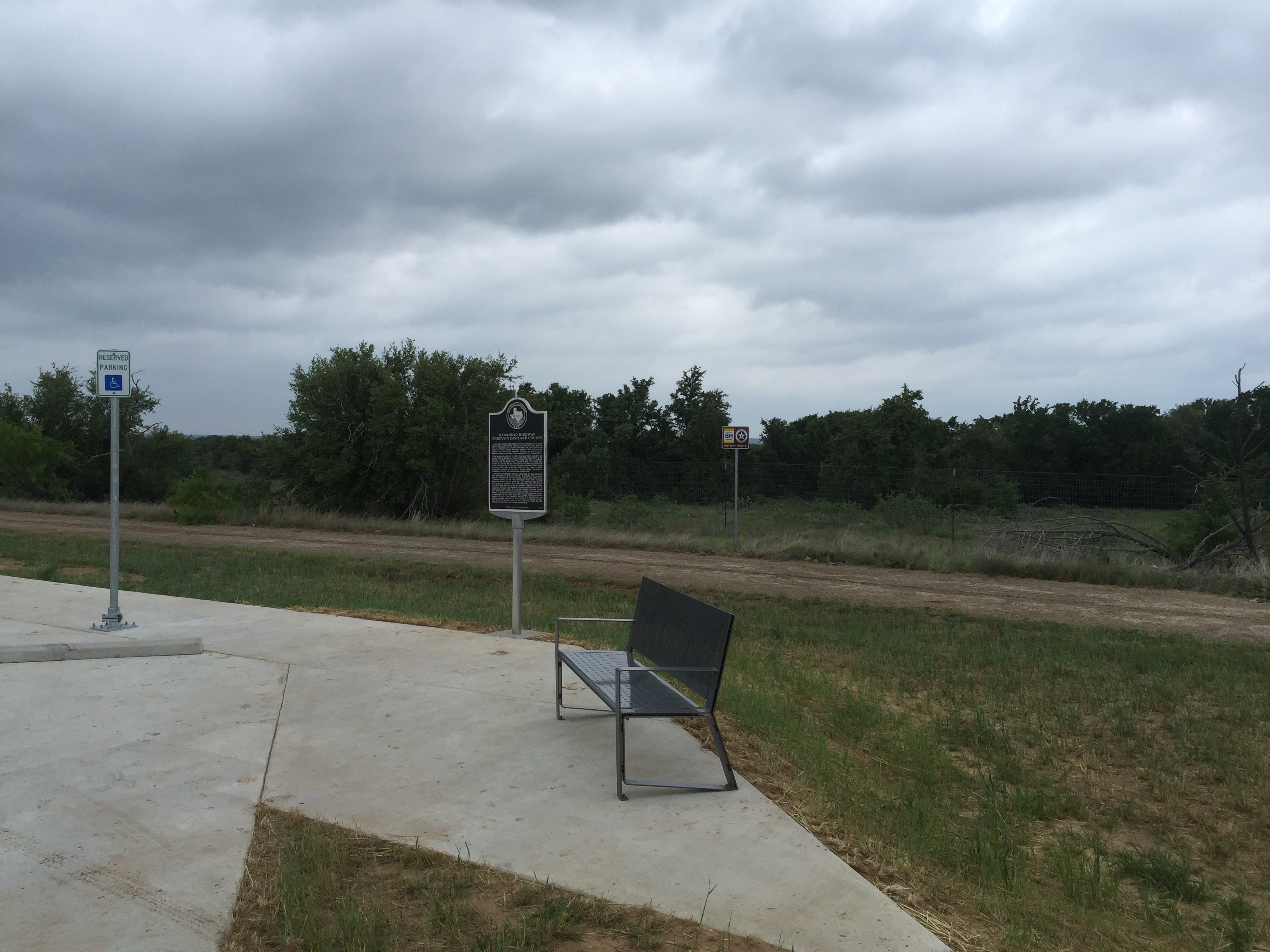
Bankhead Highway Through Eastland County marker
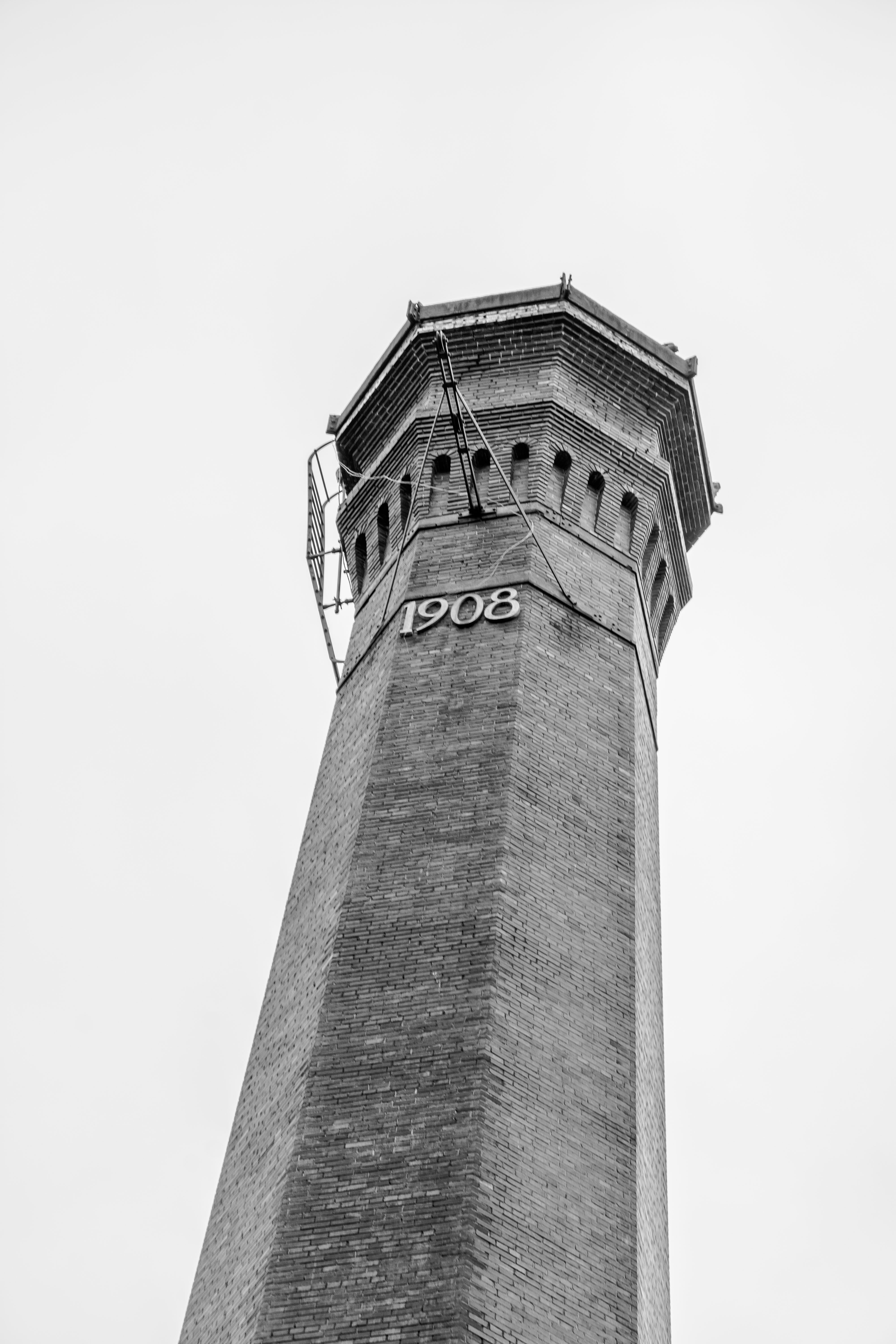
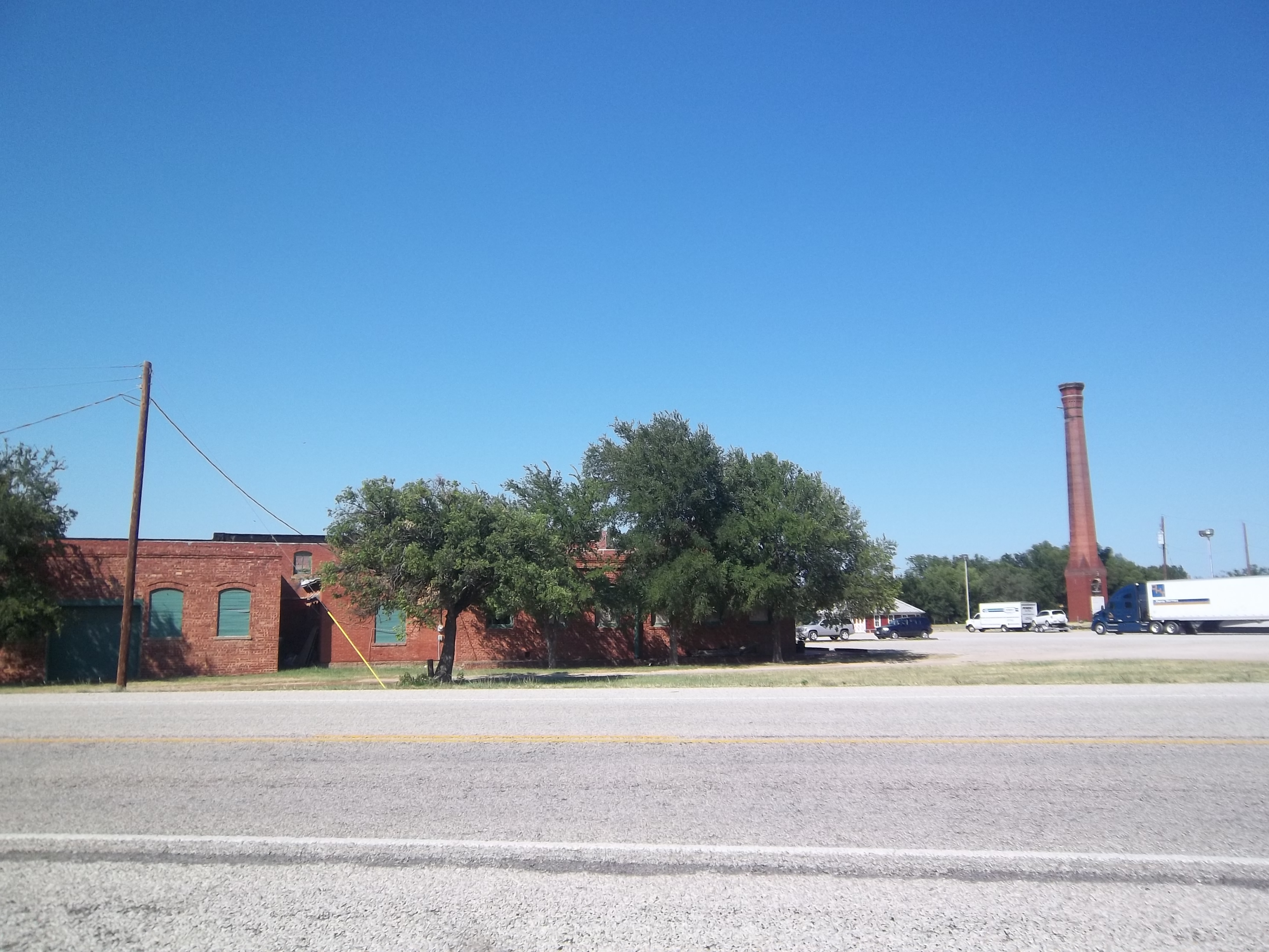
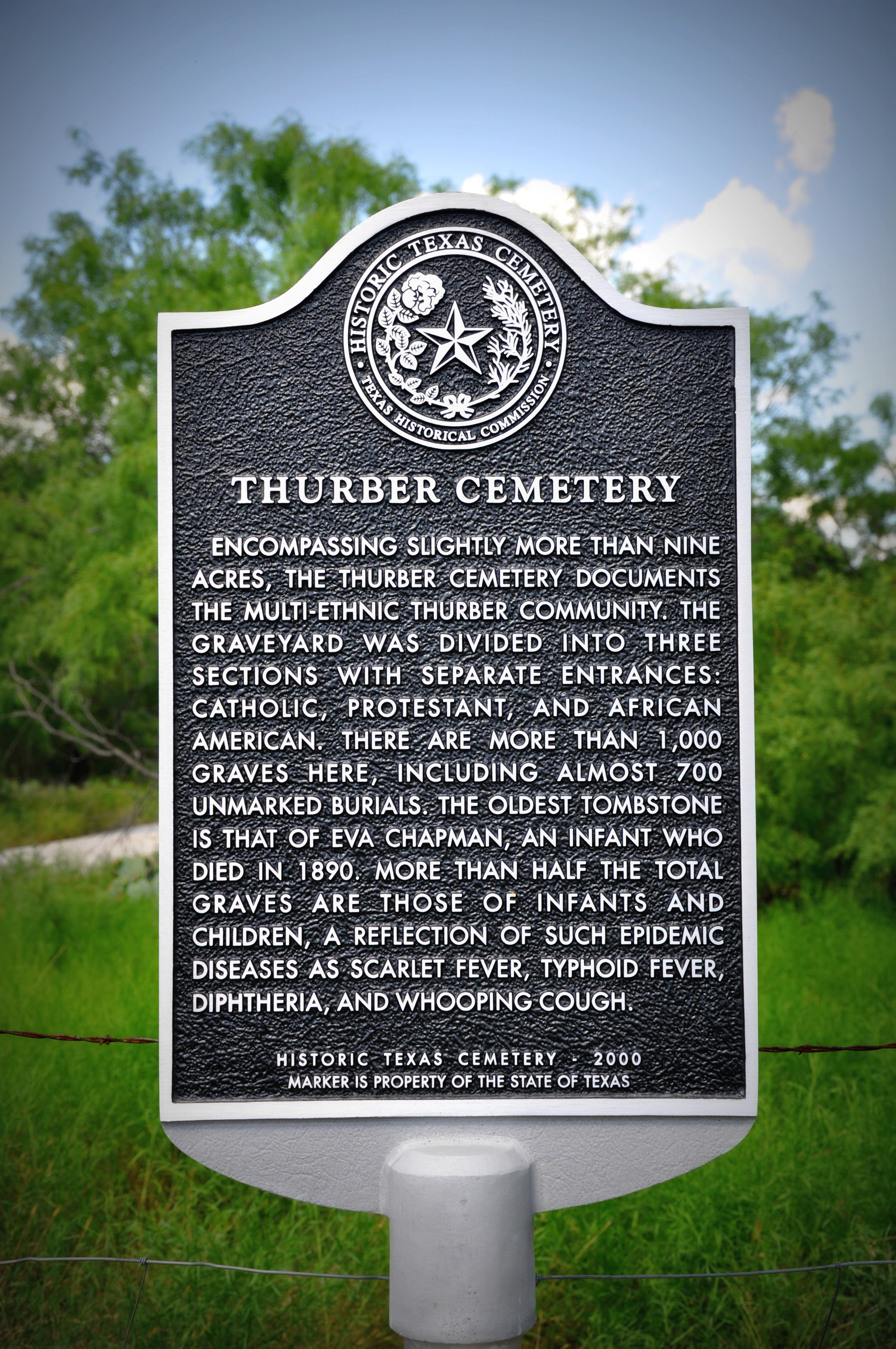
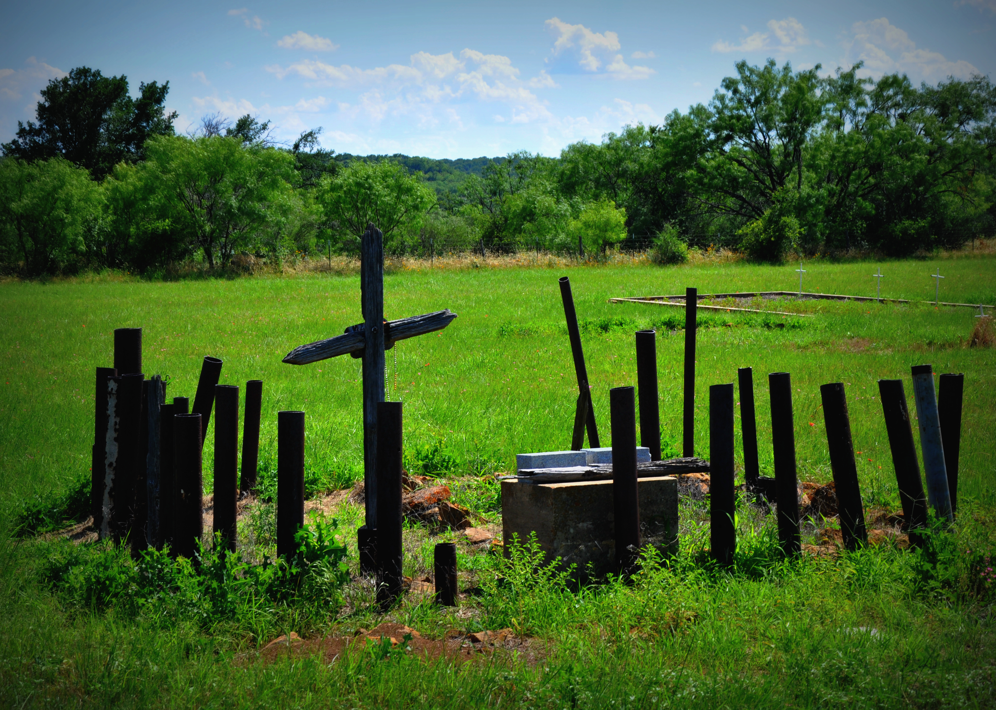
Thurber, Texas
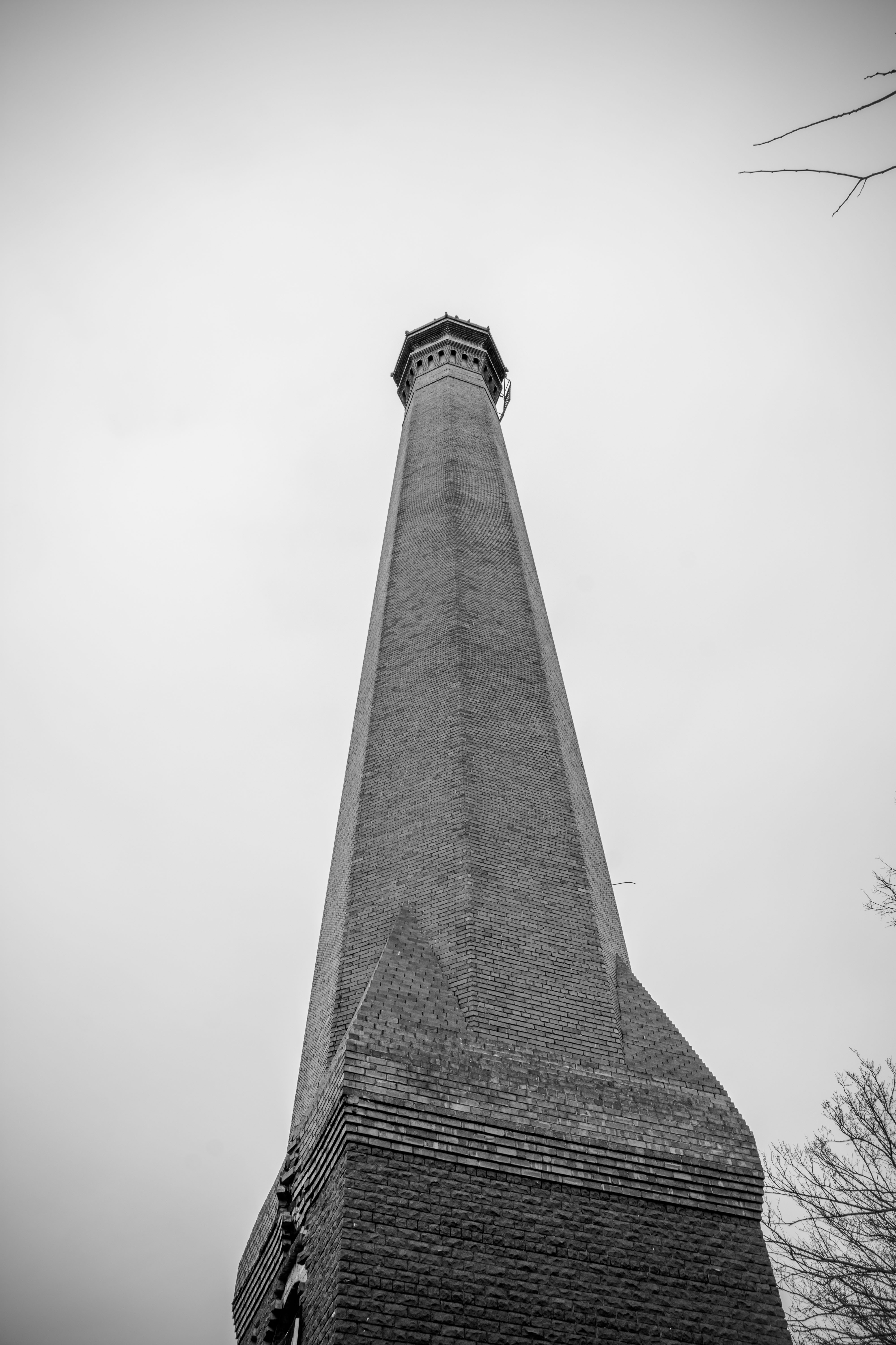
Thurber, Texas
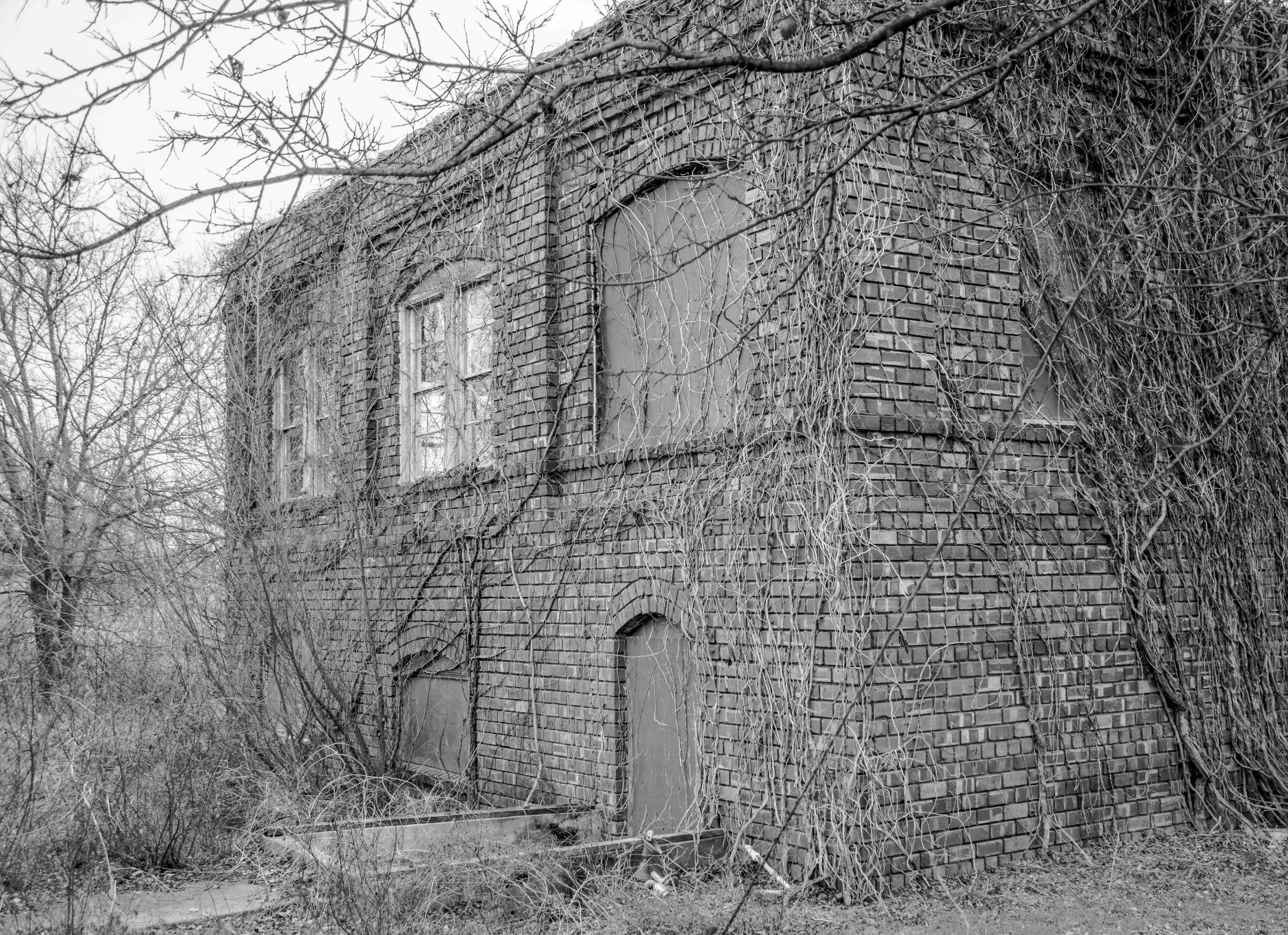
Thurber, Texas
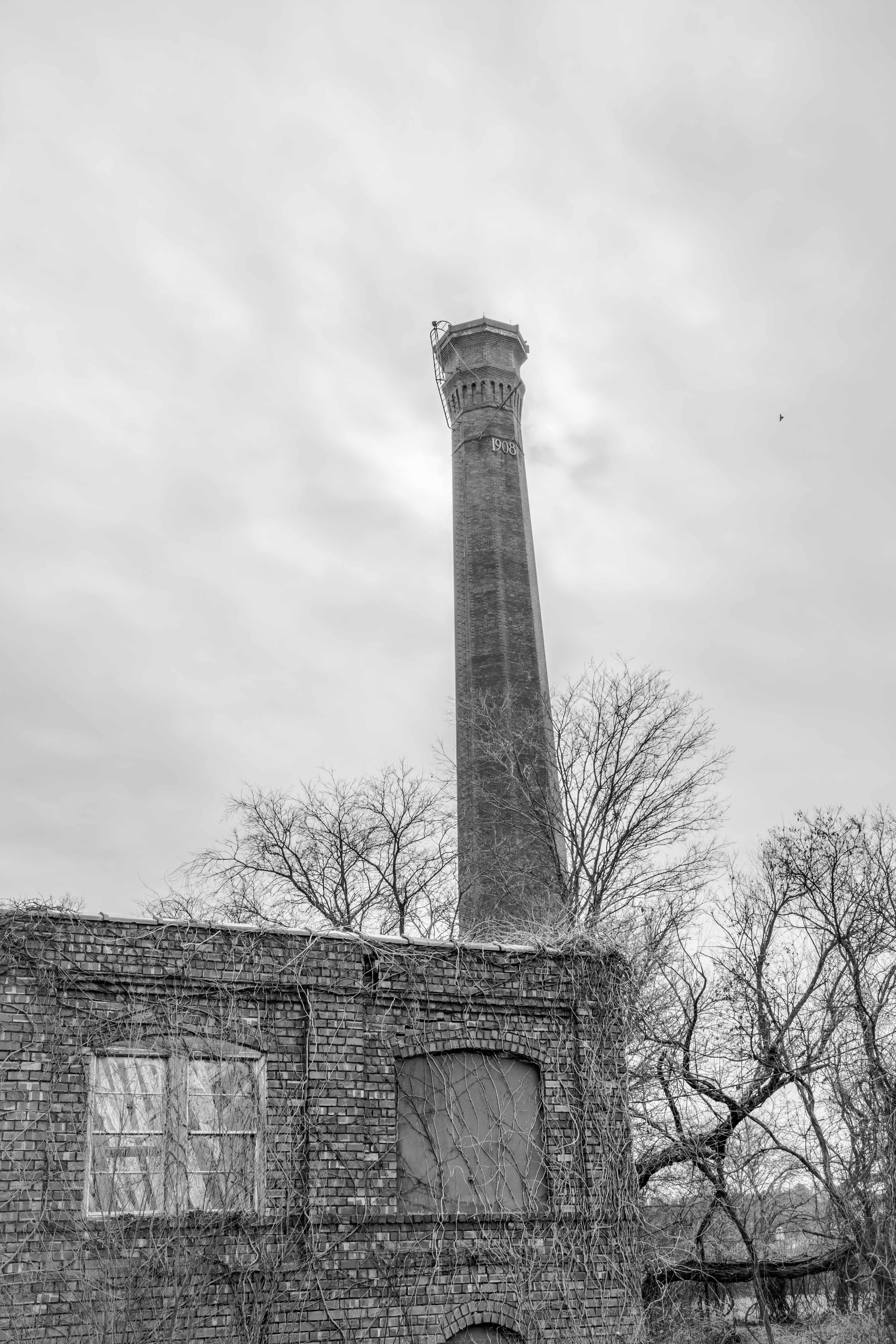
Thurber, Texas
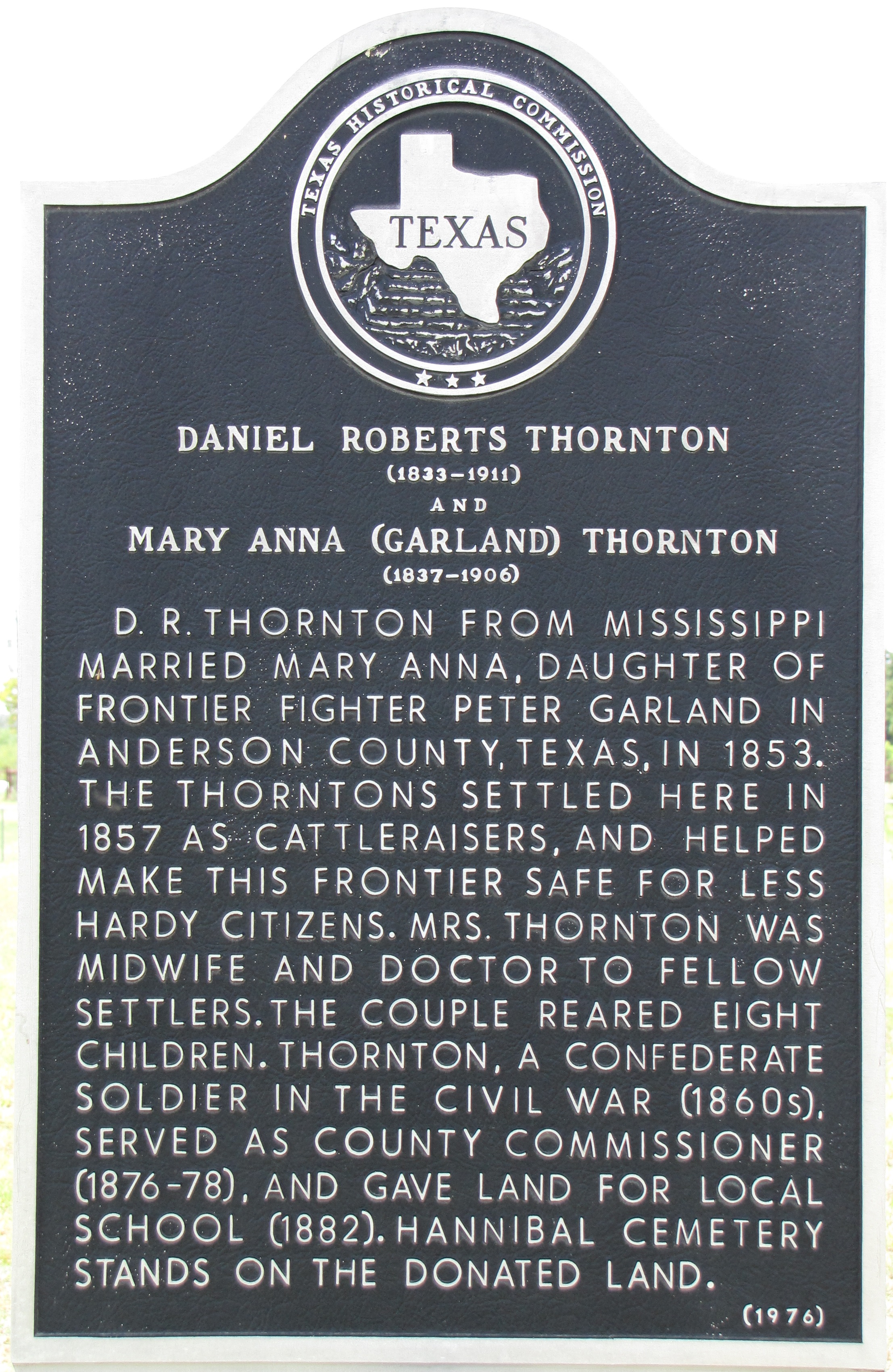
Daniel Roberts and Mary Anna (Garland) Thornton TxHM
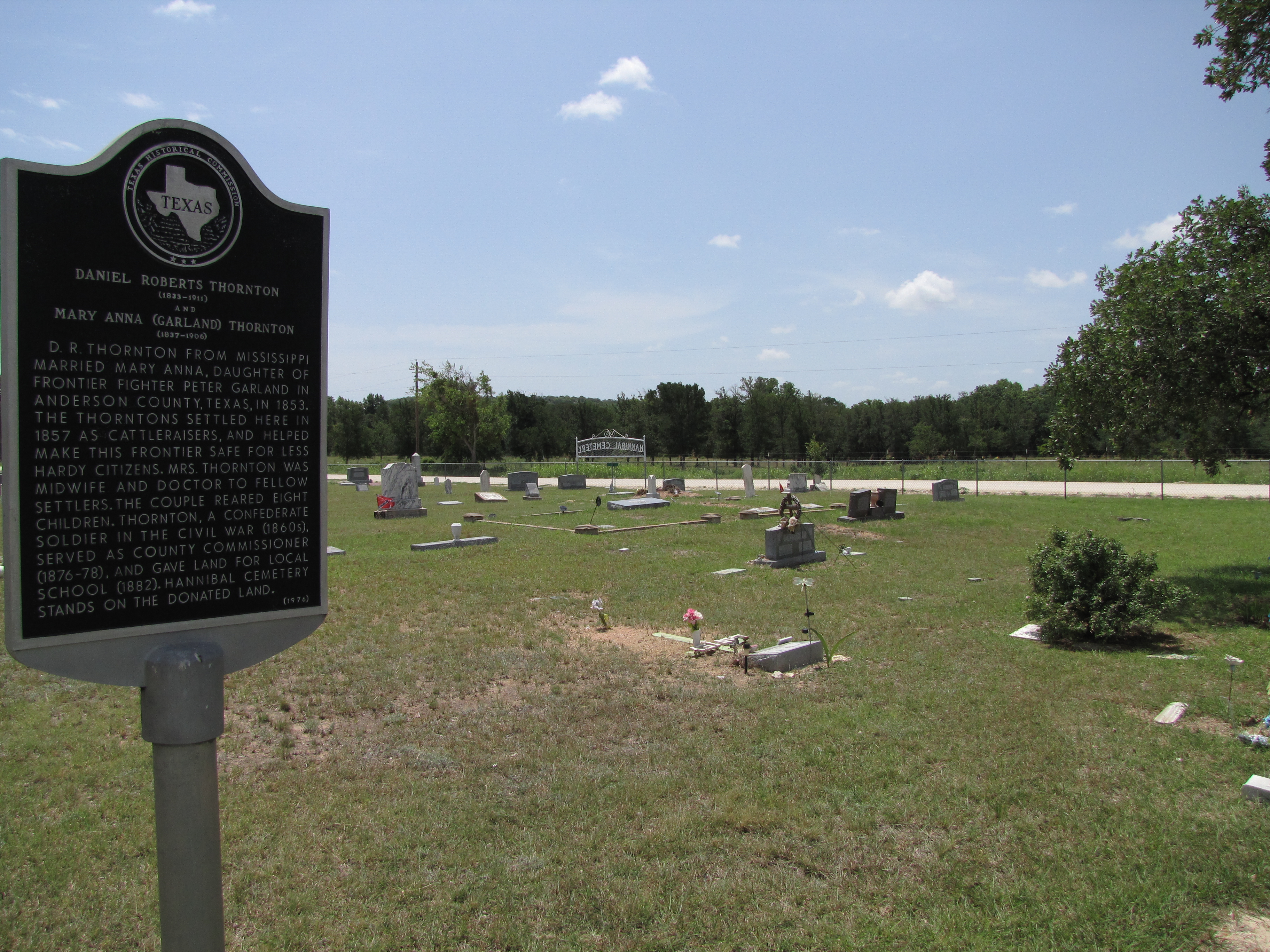
Daniel Roberts Thornton and Mary Ann (Garland) Thornton marker vicinity
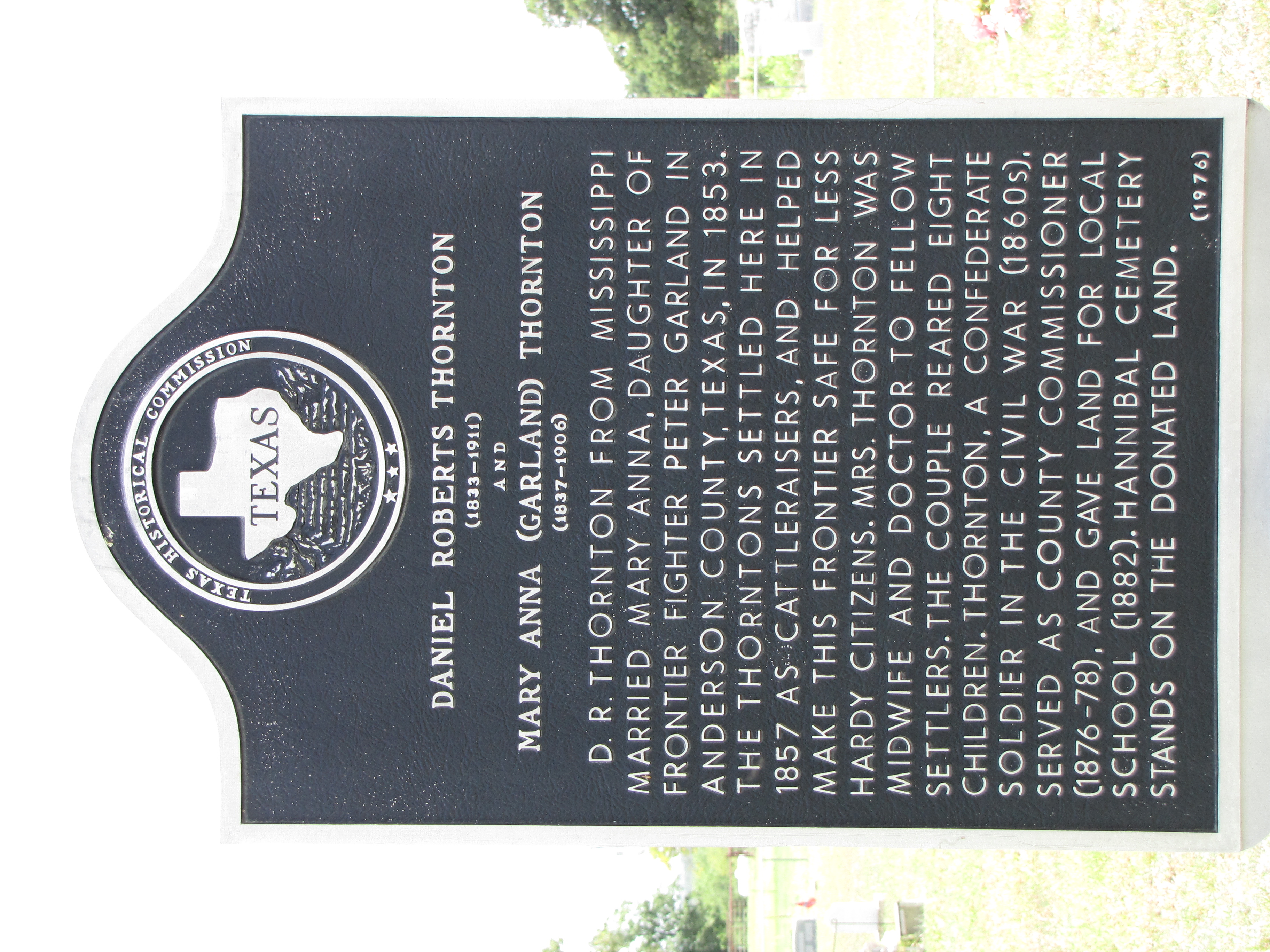
Daniel Roberts Thornton and Mary Ann (Garland) Thornton marker

St Barbara

Story of St Barbara

If walls could talk

2015-10-28 19.05.24

even mild cases of Thurber Mingus should be treated by a doctor.
092-001lth
090-001lth
Topographic Map of Co Rd, Mingus, TX, USA
Find elevation by address:

Places near Co Rd, Mingus, TX, USA:
Strawn
Ranger
8201 I-20
14445 Fm 717
FM, Ranger, TX, USA
County Road 165
Eastland
2402 Tx-112
Hells Gate
1859 Holbrook
Stephens County
Cisco
Lake Cisco
702 Fm 2945
Breckenridge
Breckenridge, TX, USA
Co Rd, Breckenridge, TX, USA
818 Co Rd 143
College Heights
FM, Graham, TX, USA
Recent Searches:
- Elevation of Elwyn Dr, Roanoke Rapids, NC, USA
- Elevation of Congressional Dr, Stevensville, MD, USA
- Elevation of Bellview Rd, McLean, VA, USA
- Elevation of Stage Island Rd, Chatham, MA, USA
- Elevation of Shibuya Scramble Crossing, 21 Udagawacho, Shibuya City, Tokyo -, Japan
- Elevation of Jadagoniai, Kaunas District Municipality, Lithuania
- Elevation of Pagonija rock, Kranto 7-oji g. 8"N, Kaunas, Lithuania
- Elevation of Co Rd 87, Jamestown, CO, USA
- Elevation of Tenjo, Cundinamarca, Colombia
- Elevation of Côte-des-Neiges, Montreal, QC H4A 3J6, Canada