Elevation of Co Rd, Manor, GA, USA
Location: United States > Georgia > Ware County > Manor >
Longitude: -82.572990
Latitude: 31.102955
Elevation: 48m / 157feet
Barometric Pressure: 101KPa
Elevation Map:
Satellite Map:
Related Photos:
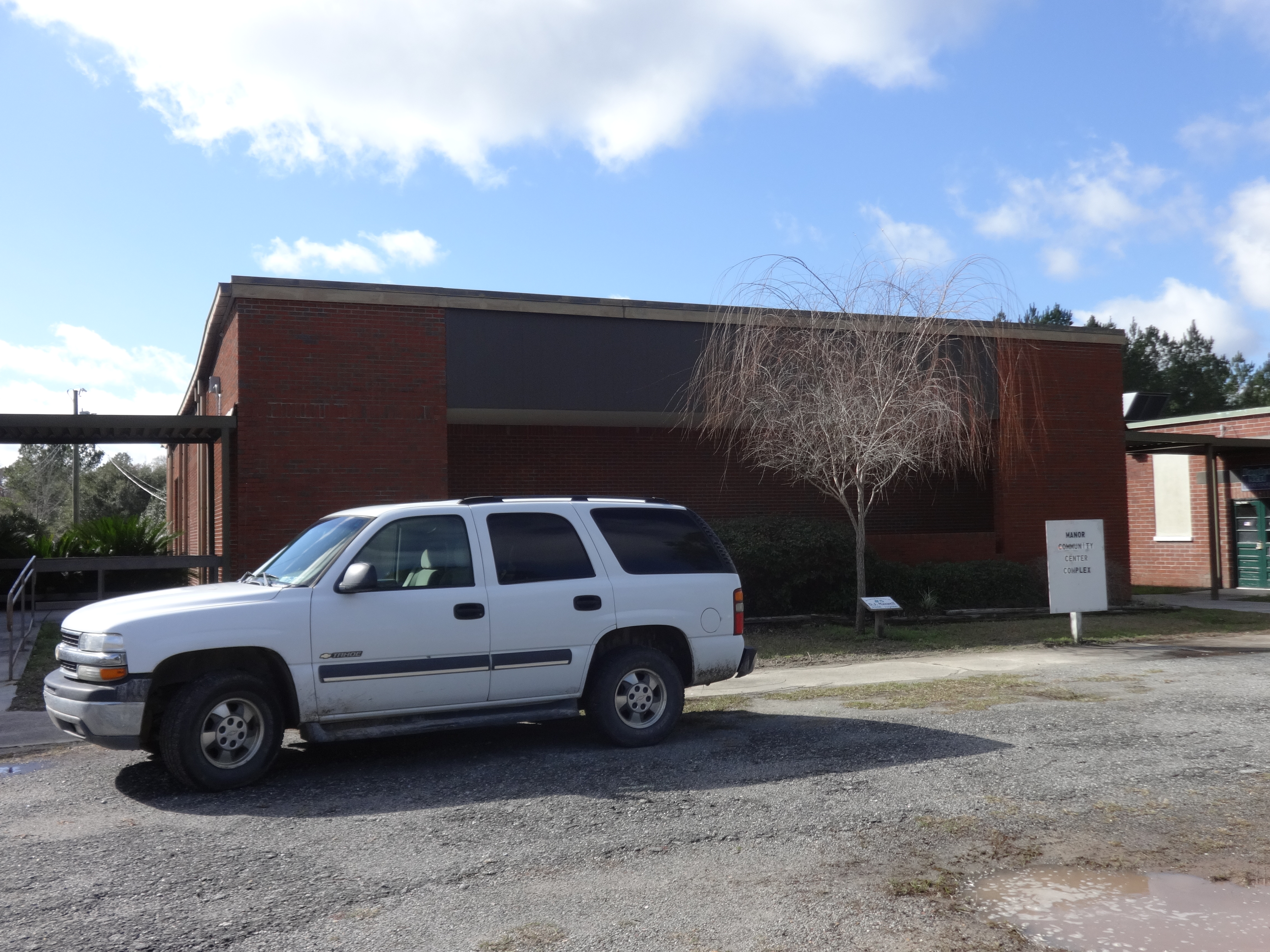
Manor Community Center Complex

Visitor Meanwhile
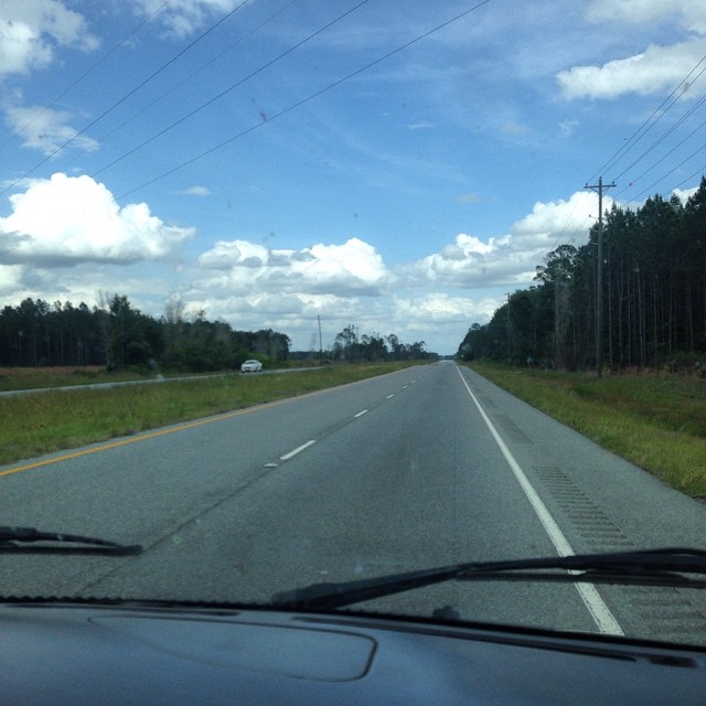
#driving
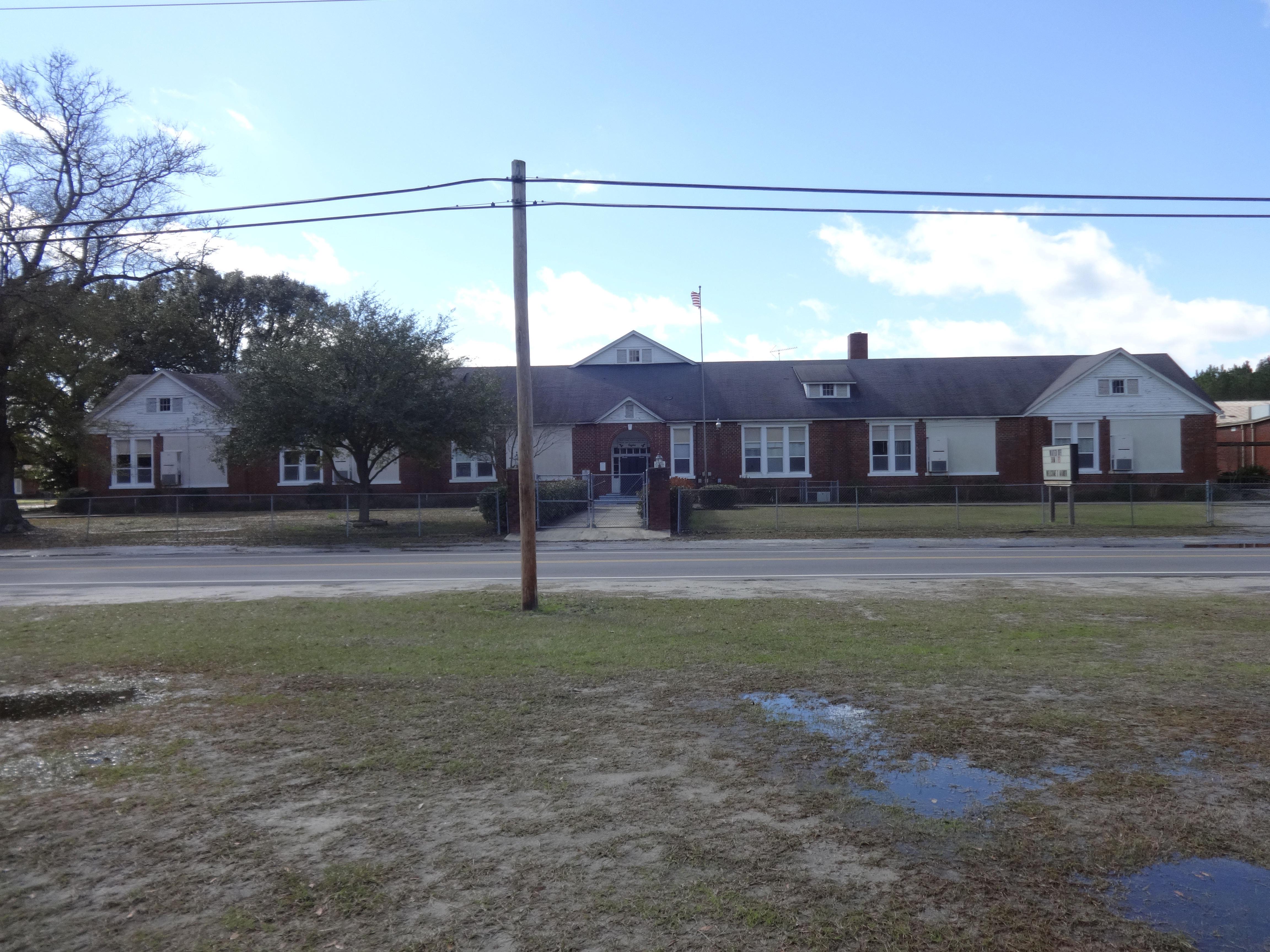
Manor School
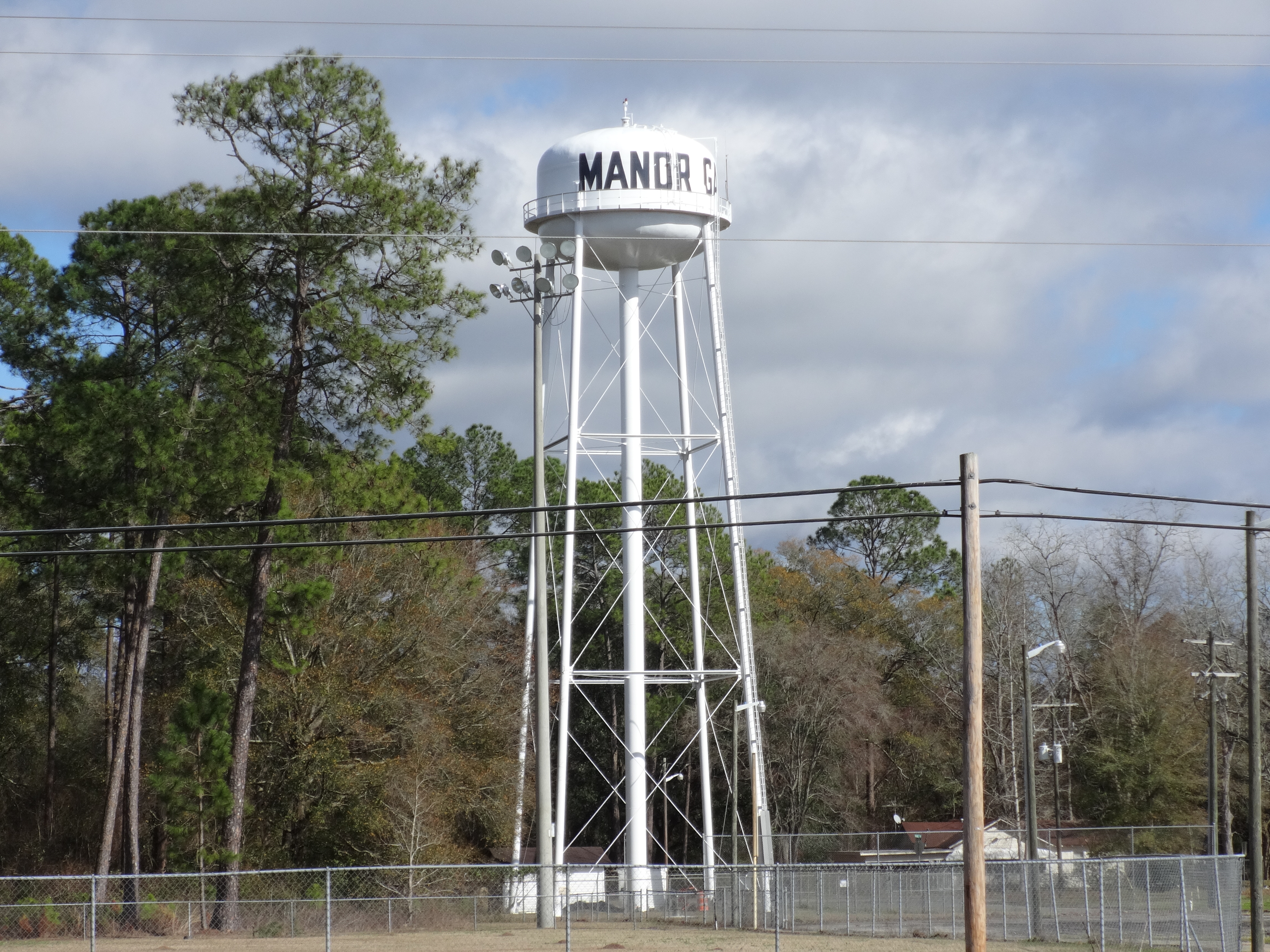
Manor Water Tower
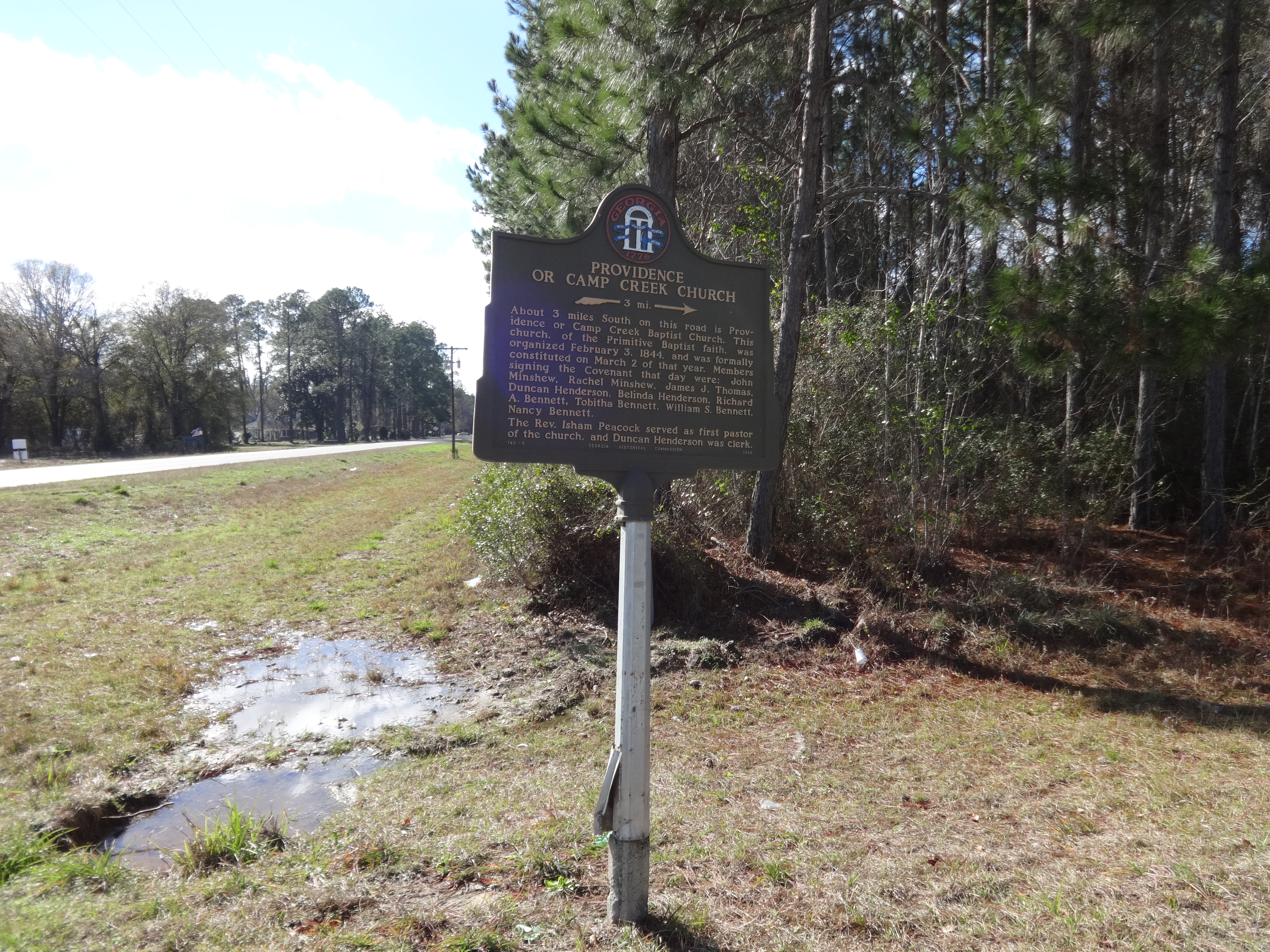
Providence or Camp Creek Church Historical Marker
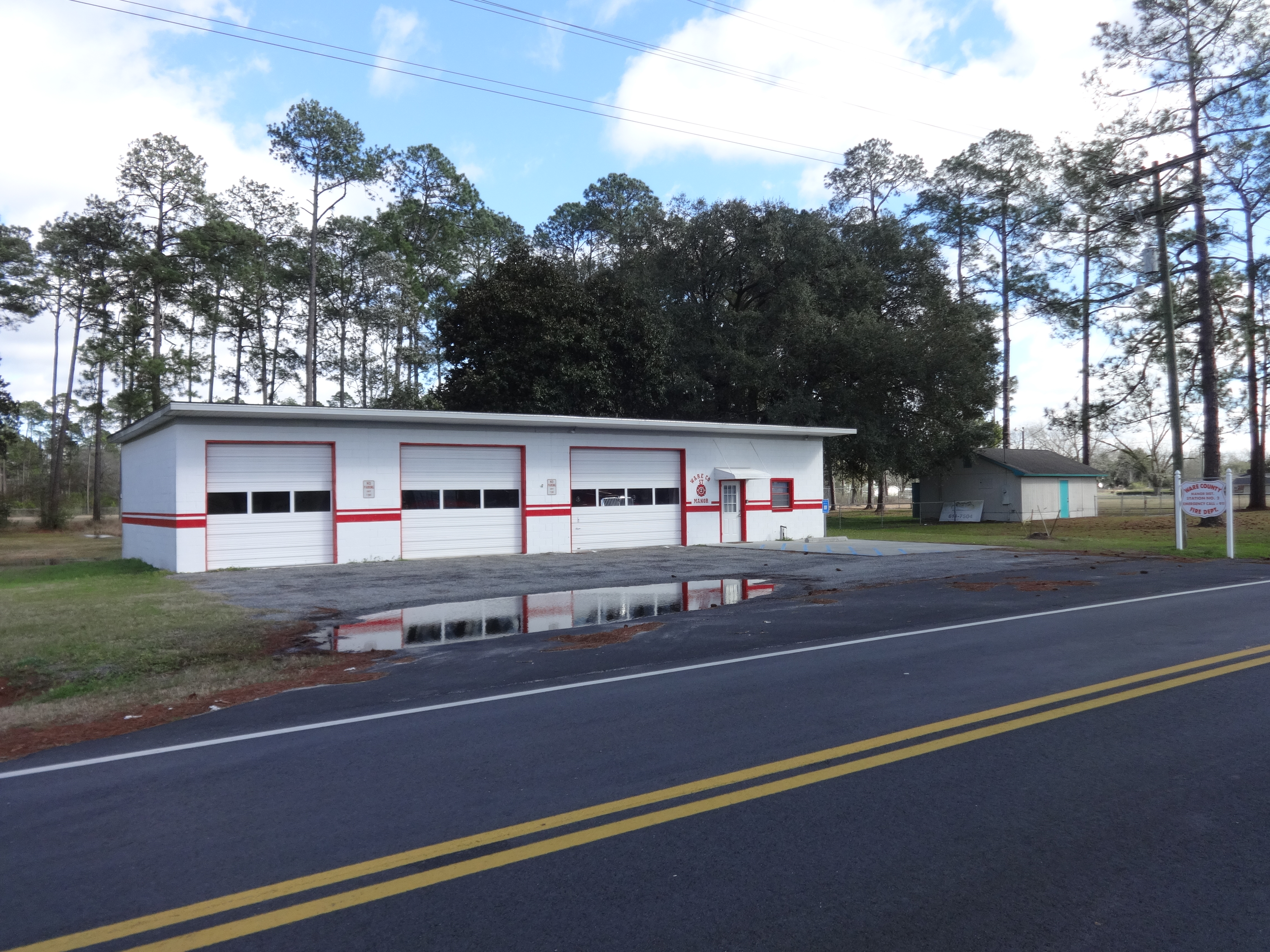
Ware County, Manor District, Station No. 2, Fire Department
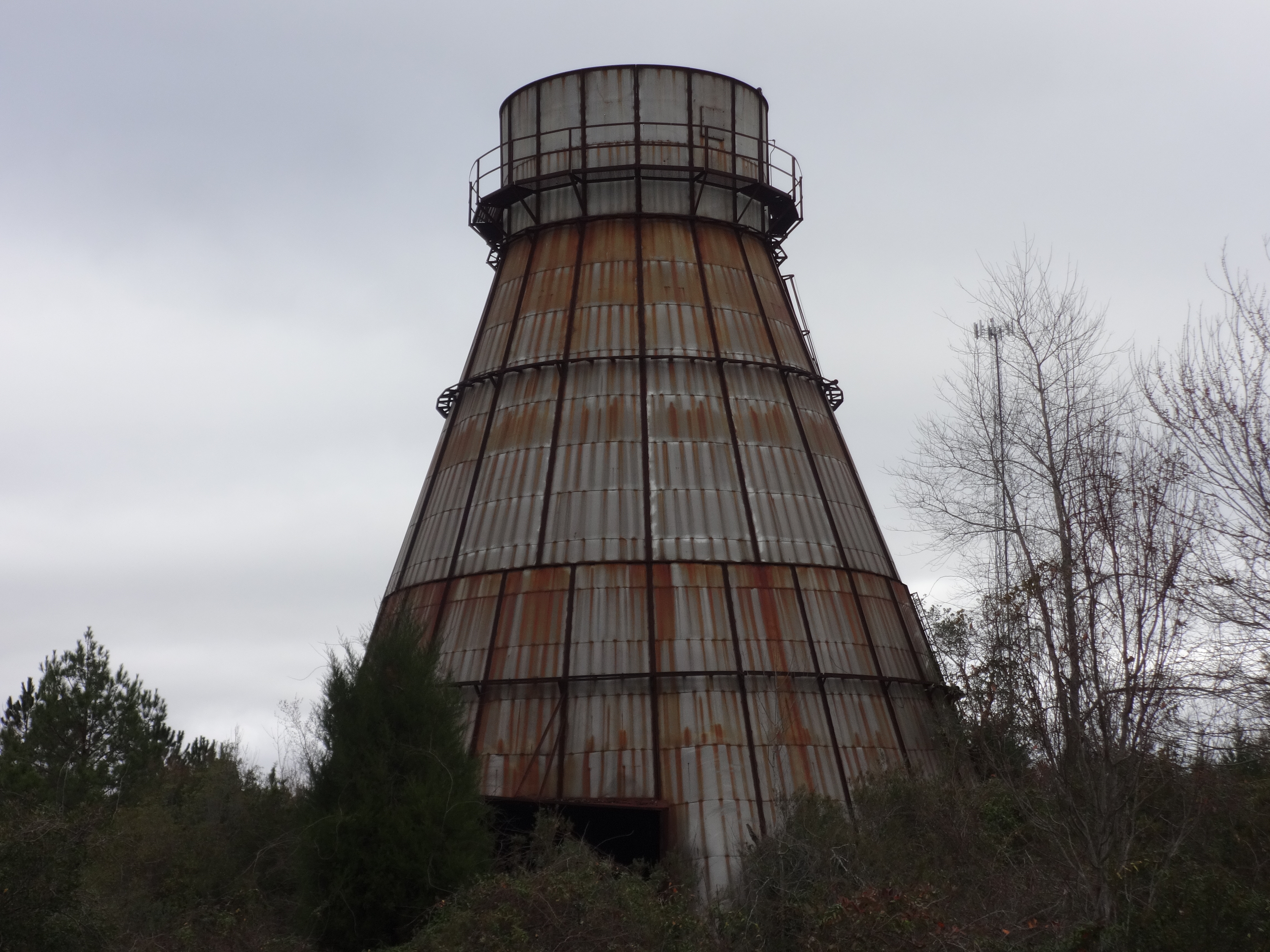
Abandoned wood burning tower close up, Ware County
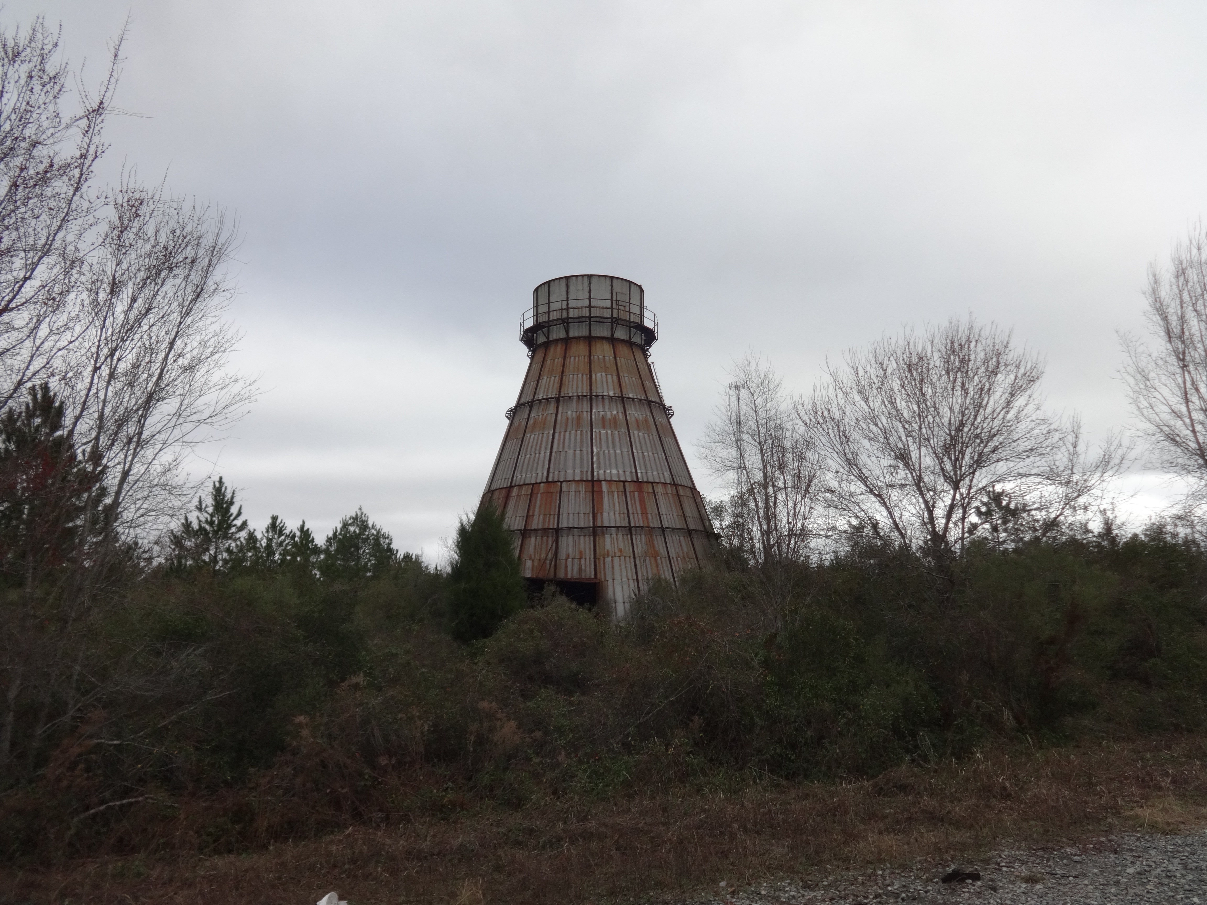
Abandoned wood burning tower, Ware County
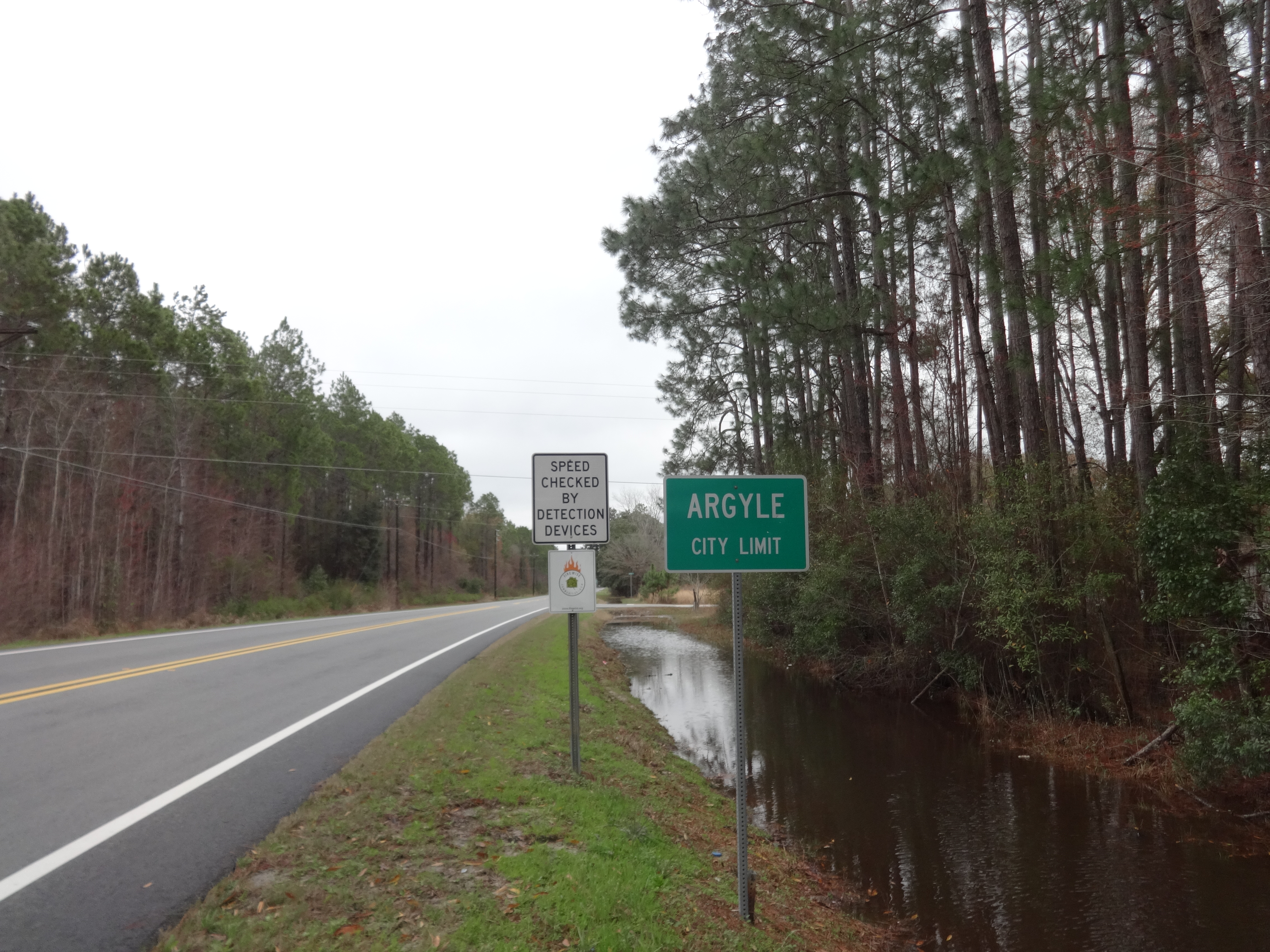
Argyle city limit, US84 EB
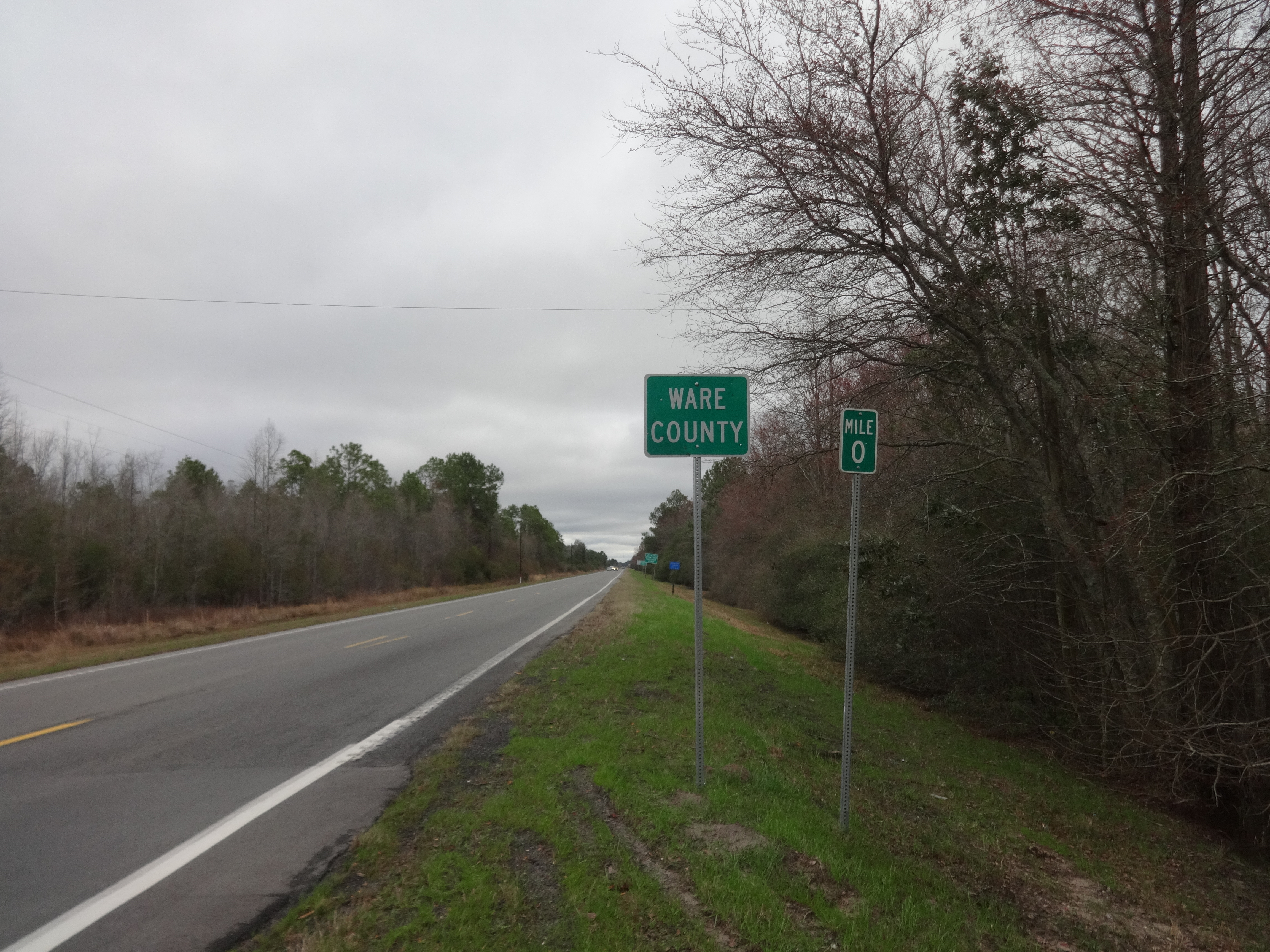
Ware County border, US84 EB

Outdoor furniture
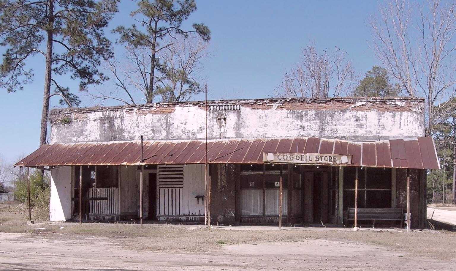
Old Cogdell store and Post Office
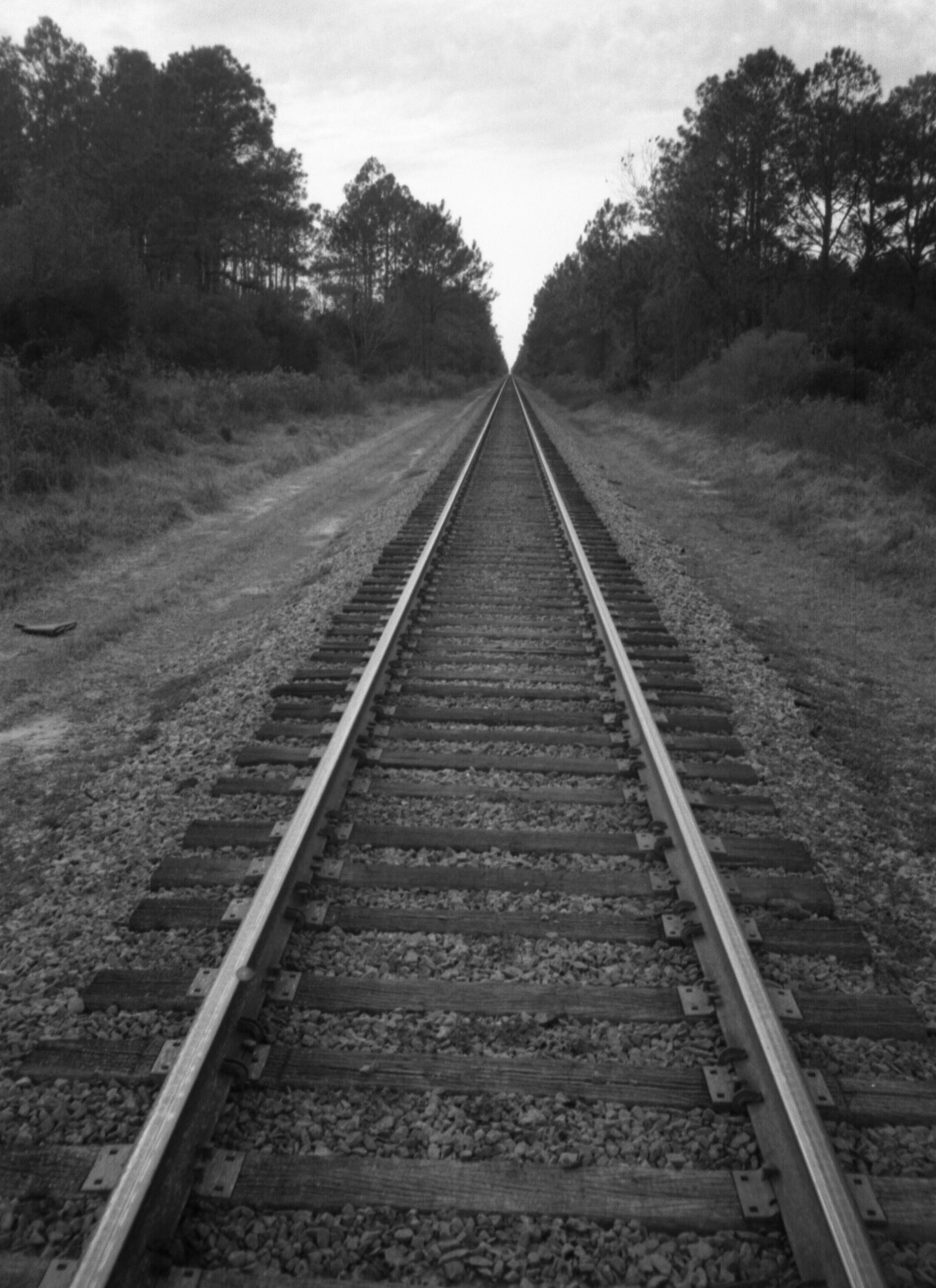
Ware County Tracks
Topographic Map of Co Rd, Manor, GA, USA
Find elevation by address:

Places near Co Rd, Manor, GA, USA:
Manor
2437 John Steedley Rd
3724 John Steedley Rd
Farms Edge Road
Argyle
80 Jamestown Rd, Argyle, GA, USA
Ware County
GA-38, Homerville, GA, USA
Valdosta Hwy, Waycross, GA, USA
E Dame Ave, Homerville, GA, USA
Co Rd 70, Waycross, GA, USA
Homerville
188 Tangle Wood Dr
Lovett Road
74 June St
Delaware Avenue
75 Garlington Heights, Waycross, GA, USA
Lake St, Waycross, GA, USA
Headlight Road
Co Rd, Homerville, GA, USA
Recent Searches:
- Elevation of Estates Loop, Priest River, ID, USA
- Elevation of Woodland Oak Pl, Thousand Oaks, CA, USA
- Elevation of Brownsdale Rd, Renfrew, PA, USA
- Elevation of Corcoran Ln, Suffolk, VA, USA
- Elevation of Mamala II, Sariaya, Quezon, Philippines
- Elevation of Sarangdanda, Nepal
- Elevation of 7 Waterfall Way, Tomball, TX, USA
- Elevation of SW 57th Ave, Portland, OR, USA
- Elevation of Crocker Dr, Vacaville, CA, USA
- Elevation of Pu Ngaol Community Meeting Hall, HWHM+3X7, Krong Saen Monourom, Cambodia