Elevation of Co Rd LL, Lamar, CO, USA
Location: United States > Colorado >
Longitude: -102.55360
Latitude: 38.1290729
Elevation: 1113m / 3652feet
Barometric Pressure: 89KPa
Elevation Map:
Satellite Map:
Related Photos:
Southwest Chief
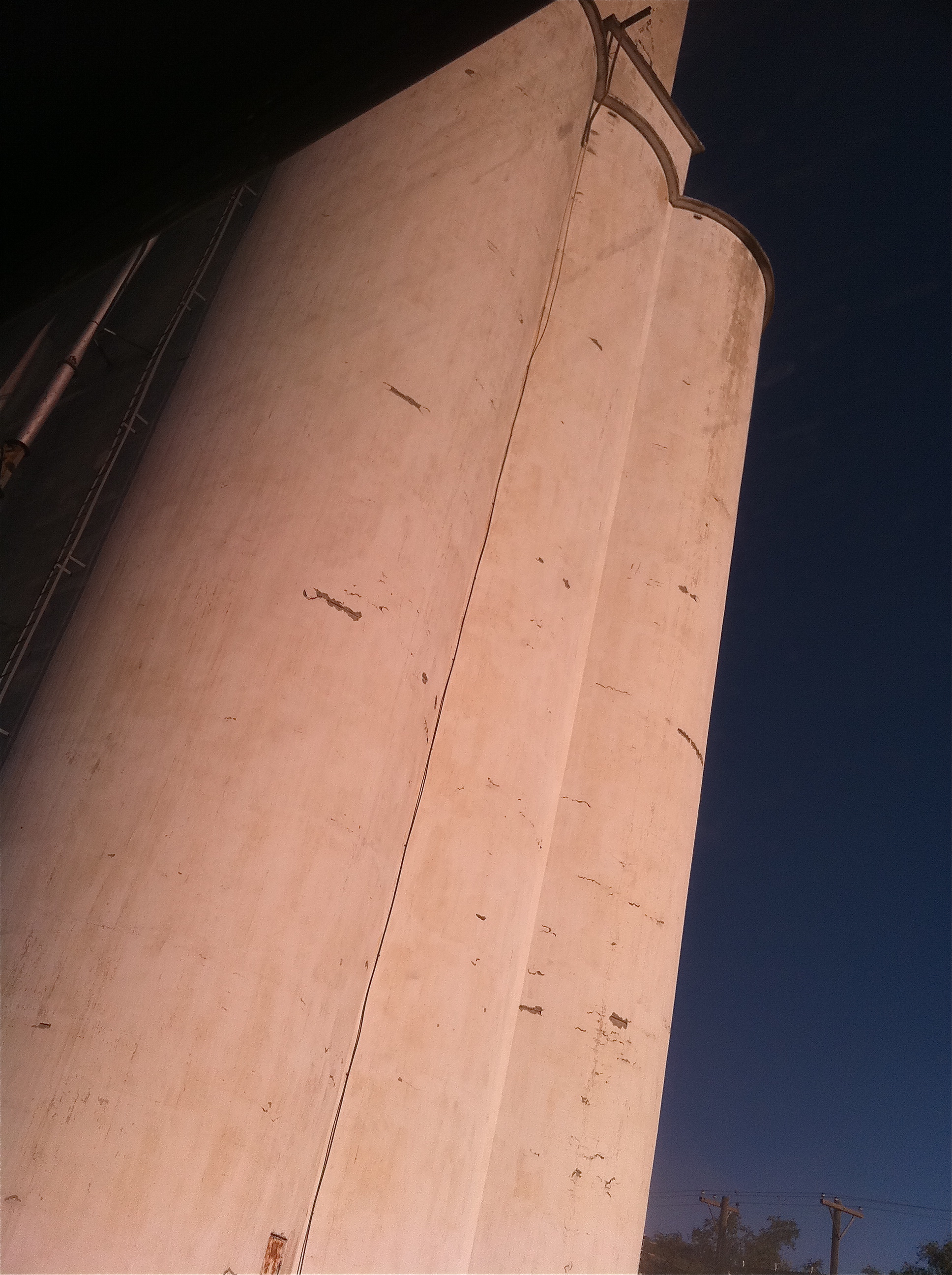
Southwest Chief
Southwest Chief

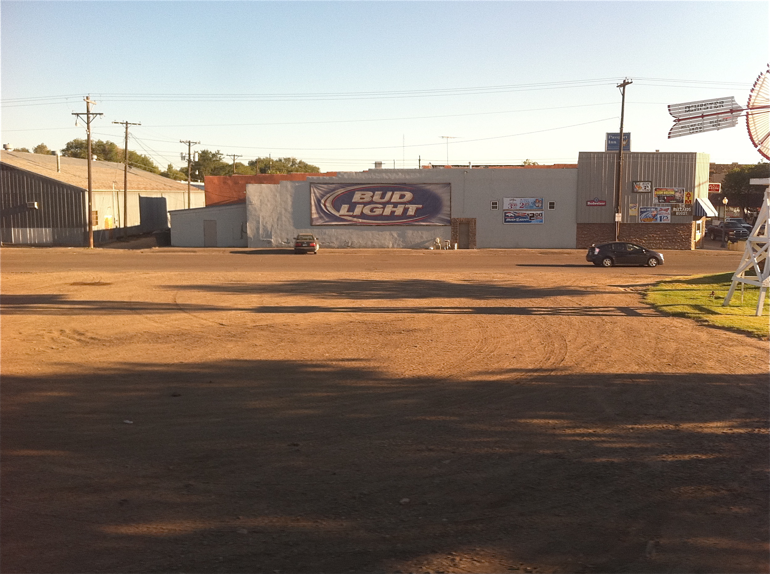
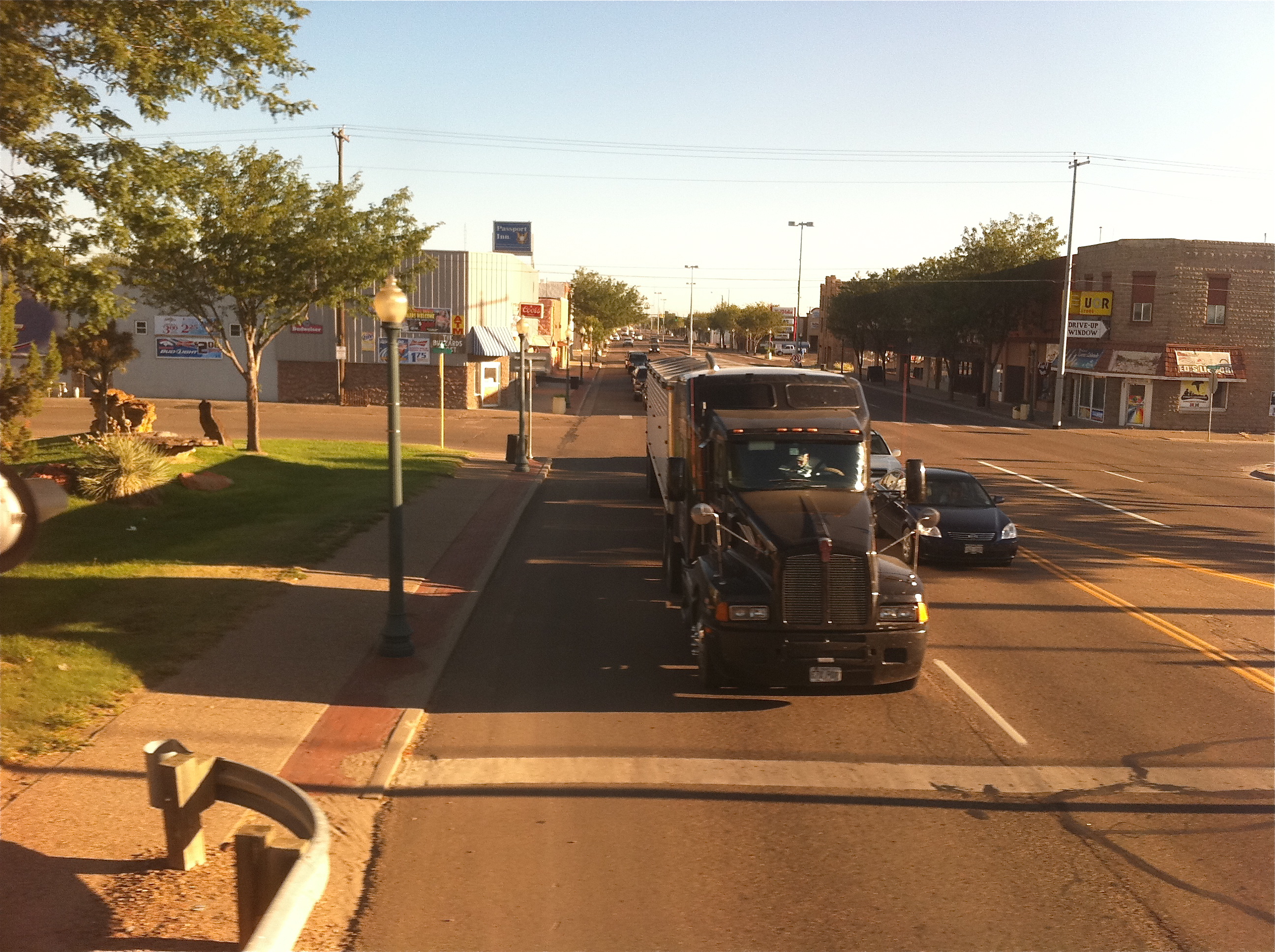
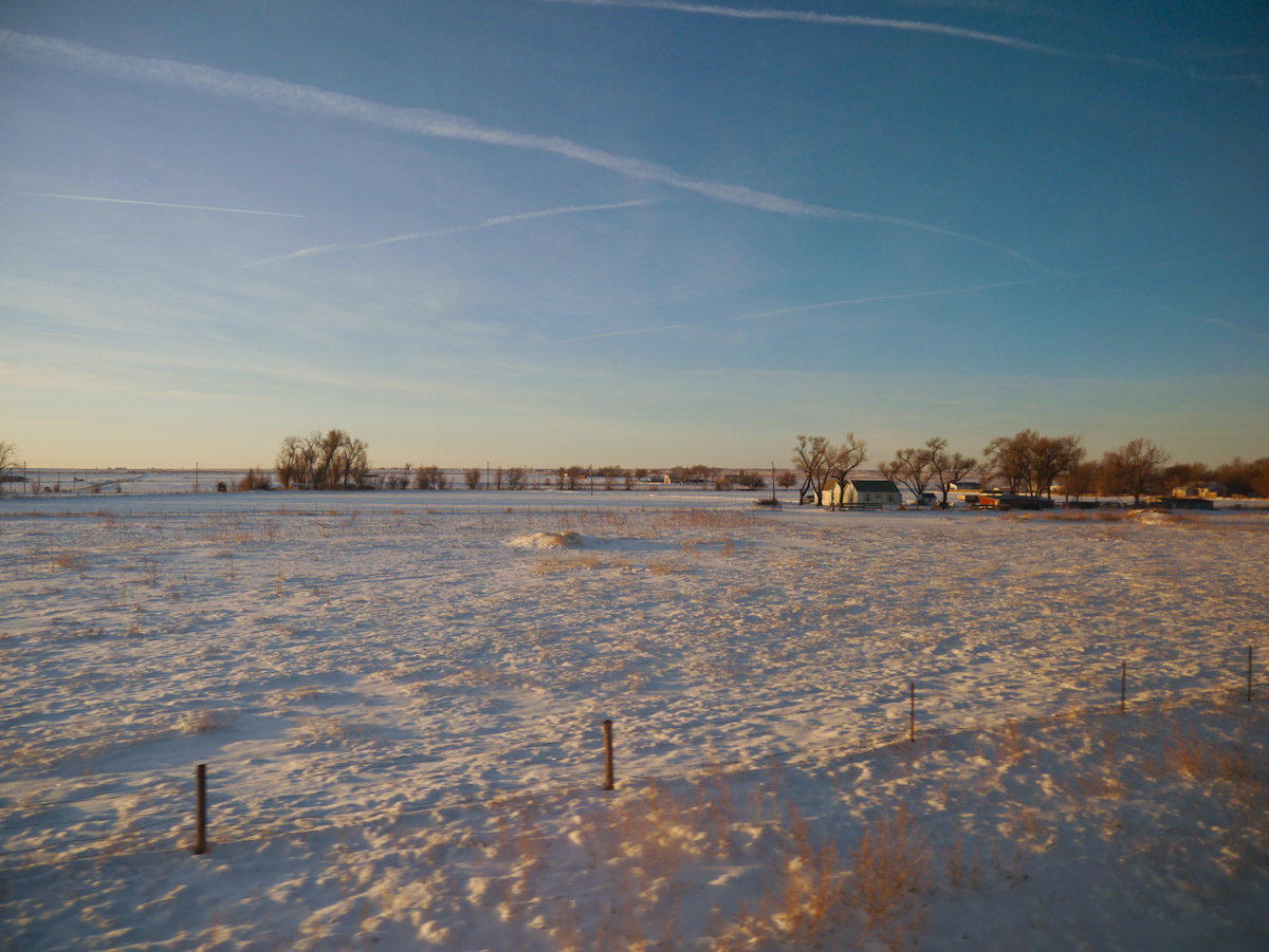
Southwest Chief Lamar, Colorado
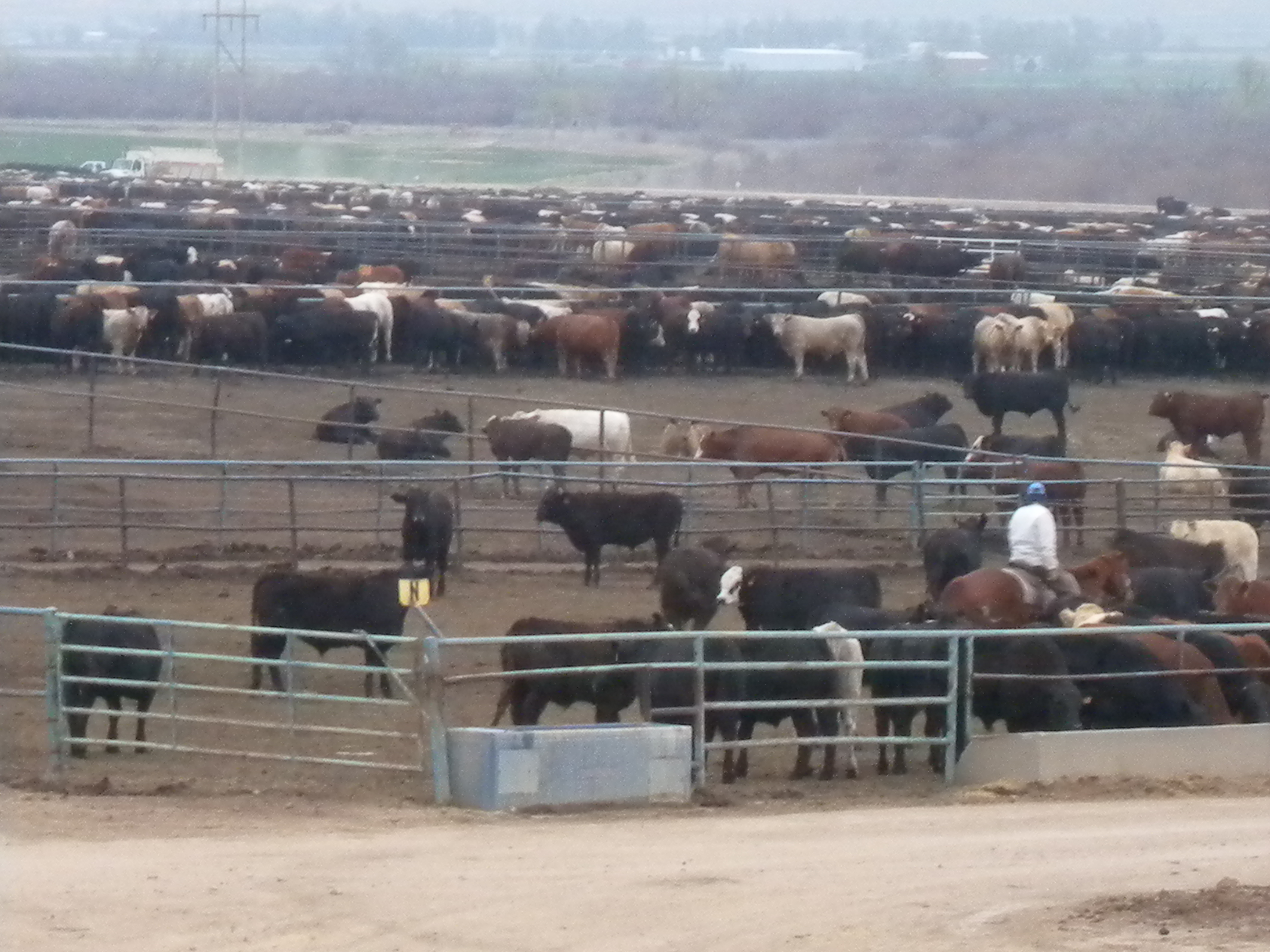
Cows!

Golden-winged Warbler

Golden-winged Warbler
Establishing Shot - Lamar Community College, Prowers County, CO - May 2015

IMG_9826.jpg

Molting Season (1 of 1)

U.S. Route 50
Mirage or is it water on the horizon?
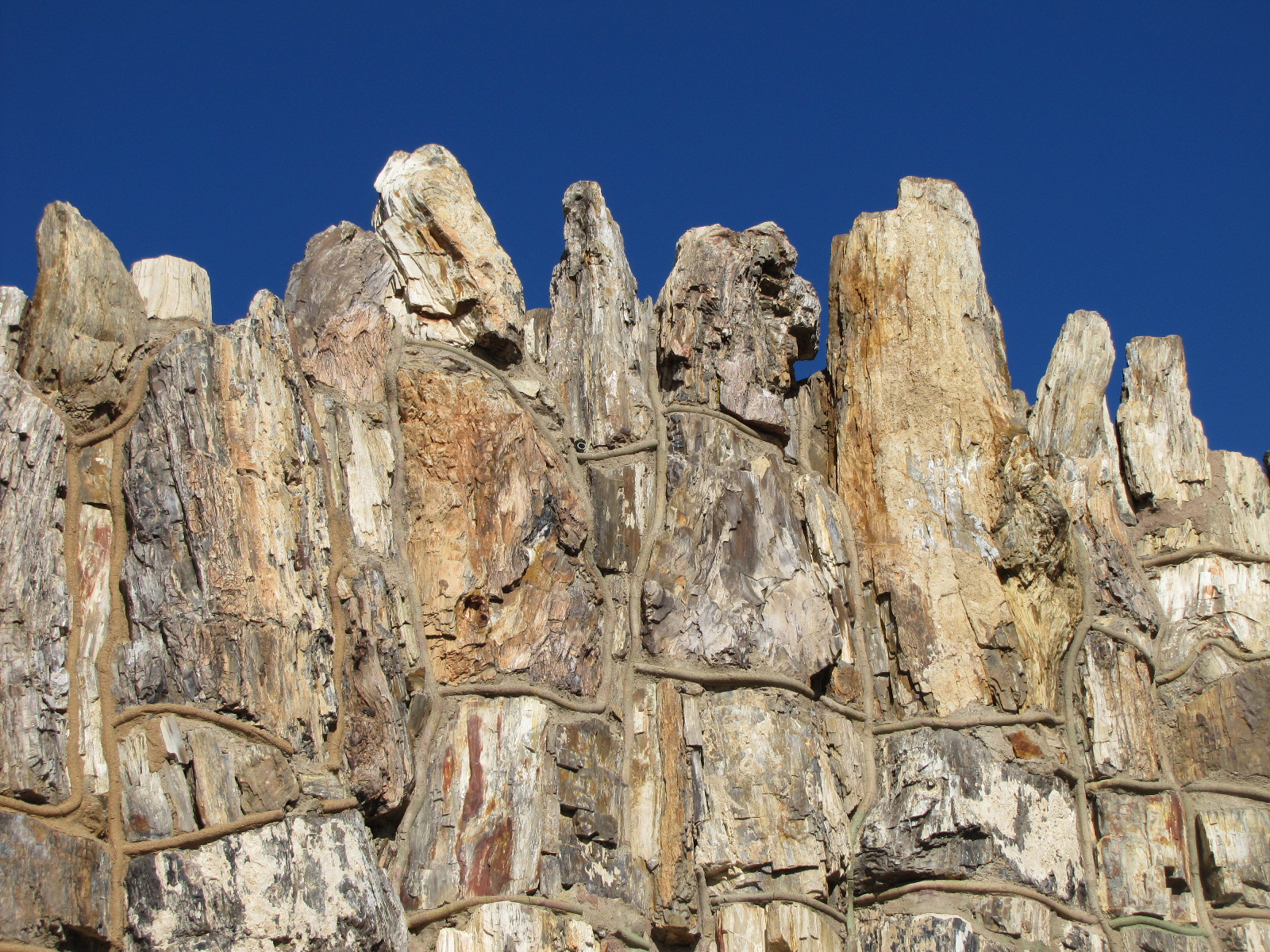
Petrified Wood Building (2 of 4)
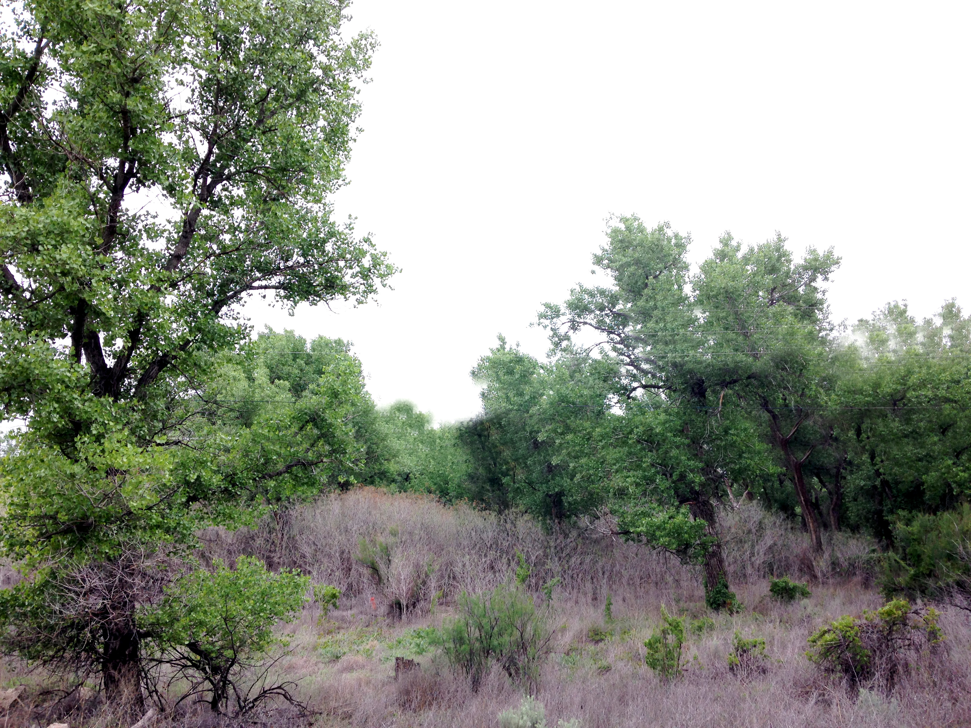
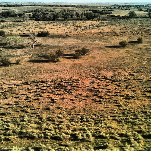
The Fields of Prowers County
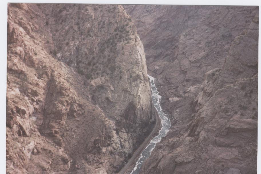
deep canyon huh!
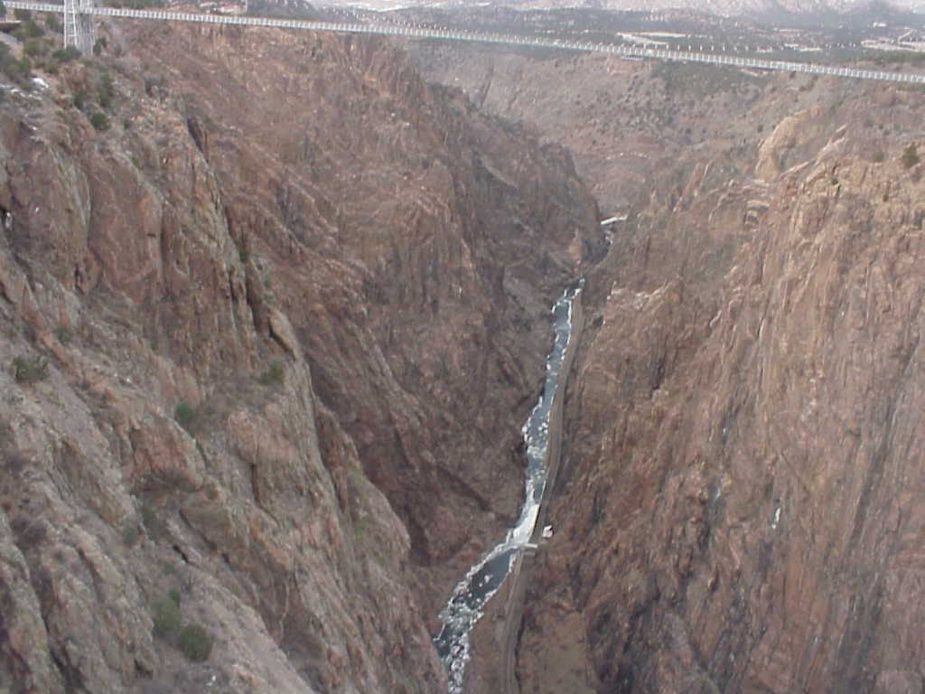
wow!! that's huge!!
the landscapes
MVC-190L
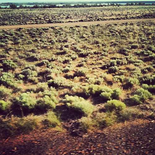
New lands
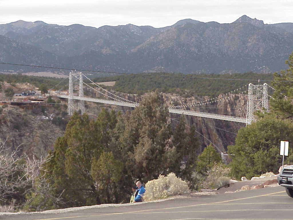
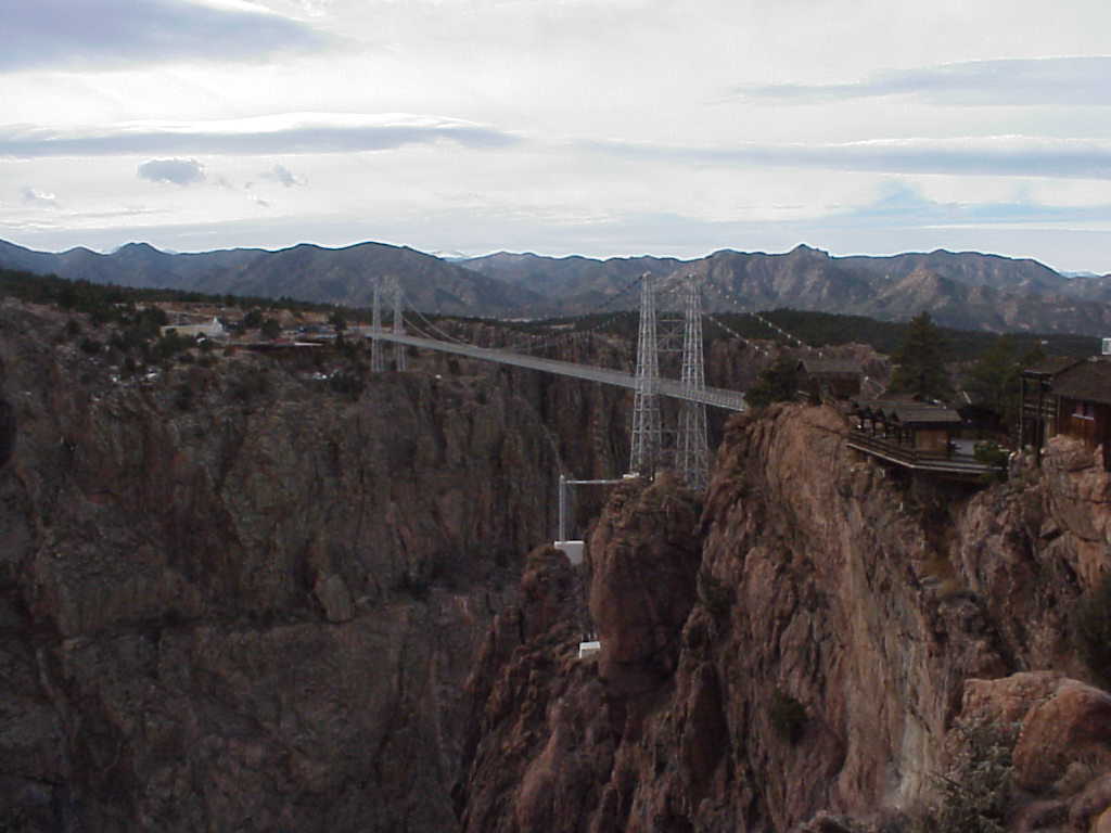
bridge in royal gorge
Topographic Map of Co Rd LL, Lamar, CO, USA
Find elevation by address:

Places near Co Rd LL, Lamar, CO, USA:
CO-, Lamar, CO, USA
Lamar
709 S 10th St
Co Rd SS, Lamar, CO, USA
7759 Co Rd Uu
US-50, Lamar, CO, USA
US-, Holly, CO, USA
32295 Us-385
N Main St, Granada, CO, USA
Granada
Brandon
Sheridan Lake
Colorado Ave, Sheridan Lake, CO, USA
Holly
College Ave, Sheridan Lake, CO, USA
Towner
Cheyenne County
Hamilton County
Syracuse
Weskan
Recent Searches:
- Elevation of Corso Fratelli Cairoli, 35, Macerata MC, Italy
- Elevation of Tallevast Rd, Sarasota, FL, USA
- Elevation of 4th St E, Sonoma, CA, USA
- Elevation of Black Hollow Rd, Pennsdale, PA, USA
- Elevation of Oakland Ave, Williamsport, PA, USA
- Elevation of Pedrógão Grande, Portugal
- Elevation of Klee Dr, Martinsburg, WV, USA
- Elevation of Via Roma, Pieranica CR, Italy
- Elevation of Tavkvetili Mountain, Georgia
- Elevation of Hartfords Bluff Cir, Mt Pleasant, SC, USA