Elevation of Co Rd, Jacksonville, TX, USA
Location: United States > Texas > Cherokee County > Jacksonville >
Longitude: -95.209342
Latitude: 31.9603887
Elevation: 128m / 420feet
Barometric Pressure: 100KPa
Elevation Map:
Satellite Map:
Related Photos:

Skipper Butterfly

^LovesLookout^ For you Craig and your hard work at park...

Looking through the Lone Star

Another view.,,

The Historical Marker

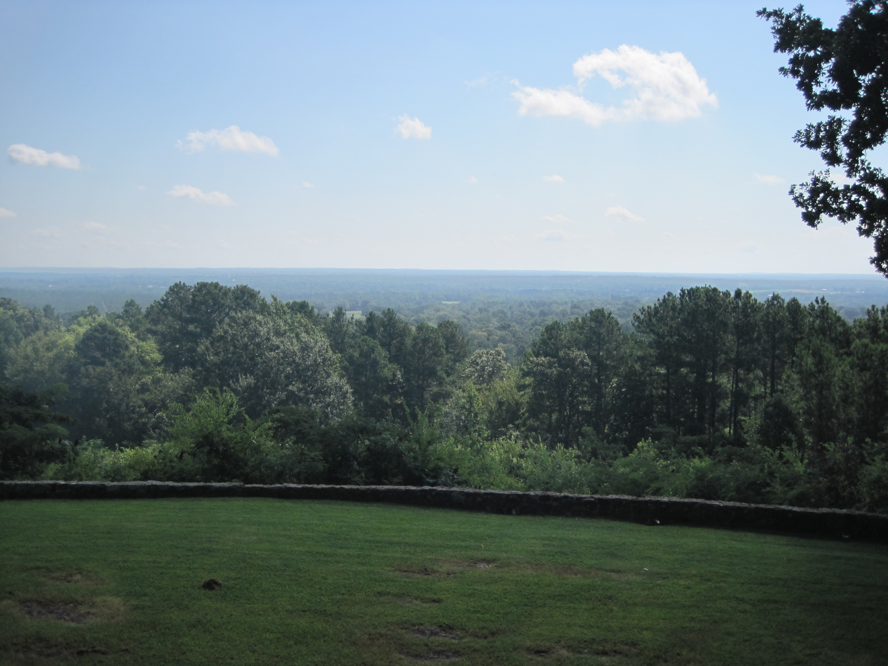
Love's Summit View

More of Love's Summit

Viewed-N-TECHniCOLOUR..

Brandi enjoying View
Lookout left

Gulf Fritillary Butterfly

shore line

Camino…

Eastern Tiger Swallowtail

IMG_6934-Edit
Topographic Map of Co Rd, Jacksonville, TX, USA
Find elevation by address:

Places near Co Rd, Jacksonville, TX, USA:
6300 Co Rd 1405
6300 Co Rd 1405
Co Rd, Jacksonville, TX, USA
1311 S Jackson St
Tomato Bowl
Jacksonville
Jacksonville, TX, USA
11x17 Office Solutions
5854 Fm 347
2185 Co Rd 3104
County Road 4223
Gallatin
Co Rd, Jacksonville, TX, USA
Love's Lookout
1745 Co Rd 3113
1745 Co Rd 3113
871 S Dry Creek Rd
871 S Dry Creek Rd
Co Rd, Jacksonville, TX, USA
634 Co Rd 3432
Recent Searches:
- Elevation of Rojo Ct, Atascadero, CA, USA
- Elevation of Flagstaff Drive, Flagstaff Dr, North Carolina, USA
- Elevation of Avery Ln, Lakeland, FL, USA
- Elevation of Woolwine, VA, USA
- Elevation of Lumagwas Diversified Farmers Multi-Purpose Cooperative, Lumagwas, Adtuyon, RV32+MH7, Pangantucan, Bukidnon, Philippines
- Elevation of Homestead Ridge, New Braunfels, TX, USA
- Elevation of Orchard Road, Orchard Rd, Marlborough, NY, USA
- Elevation of 12 Hutchinson Woods Dr, Fletcher, NC, USA
- Elevation of Holloway Ave, San Francisco, CA, USA
- Elevation of Norfolk, NY, USA