Elevation of Co Rd, Hico, TX, USA
Location: United States > Texas > Erath County > Hico >
Longitude: -97.966193
Latitude: 31.9193437
Elevation: 339m / 1112feet
Barometric Pressure: 97KPa
Elevation Map:
Satellite Map:
Related Photos:

Iredell Lumber and Hardware

Home For Rent, Great View
Pylants Crossing 7-a
Bosque Valley Panorama 3
Duffau Creek Waterfall
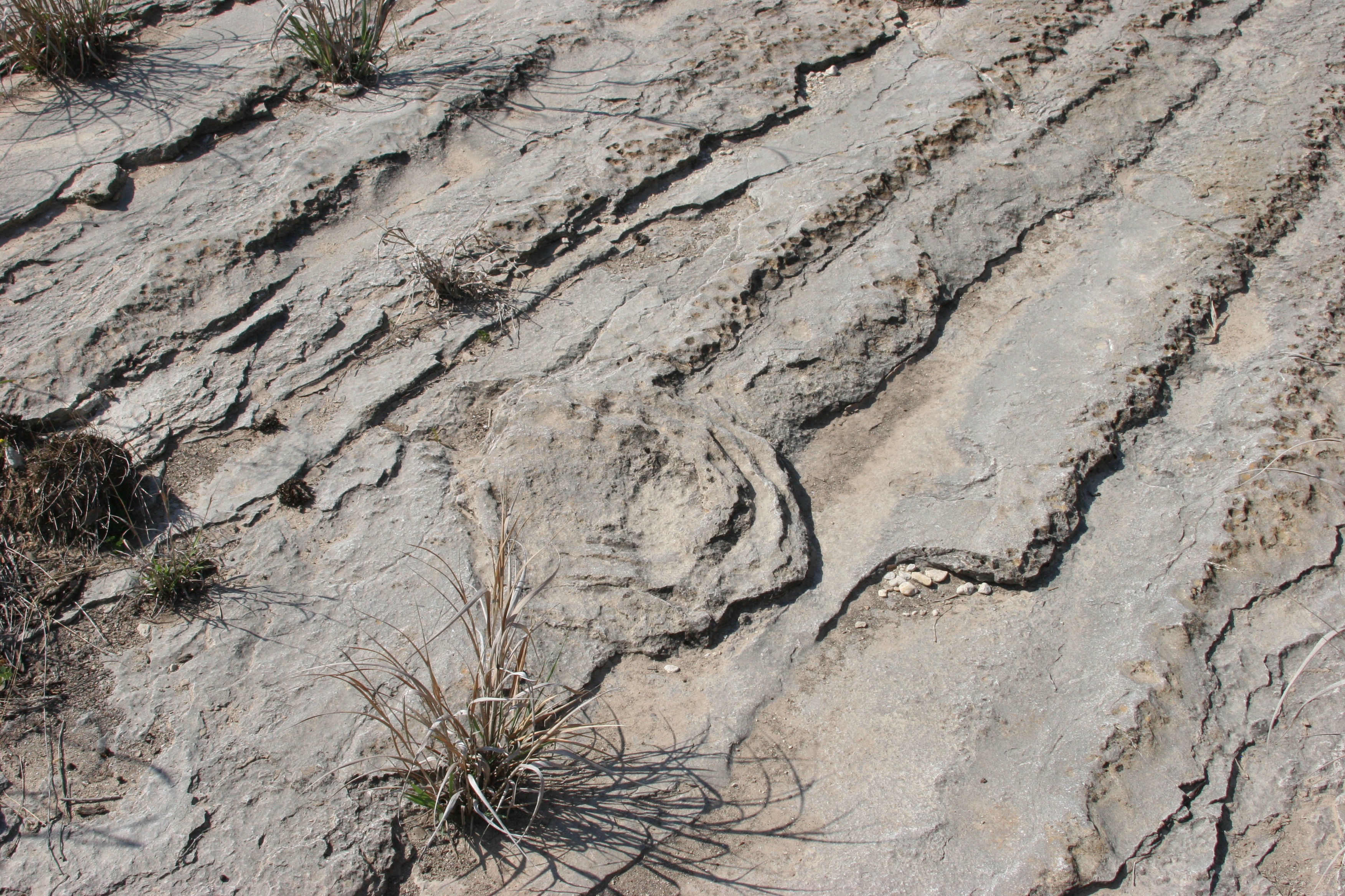
Iredell gravel bar 1939

Duffau Creek Waterfall
Iredell gravel bar panorama1
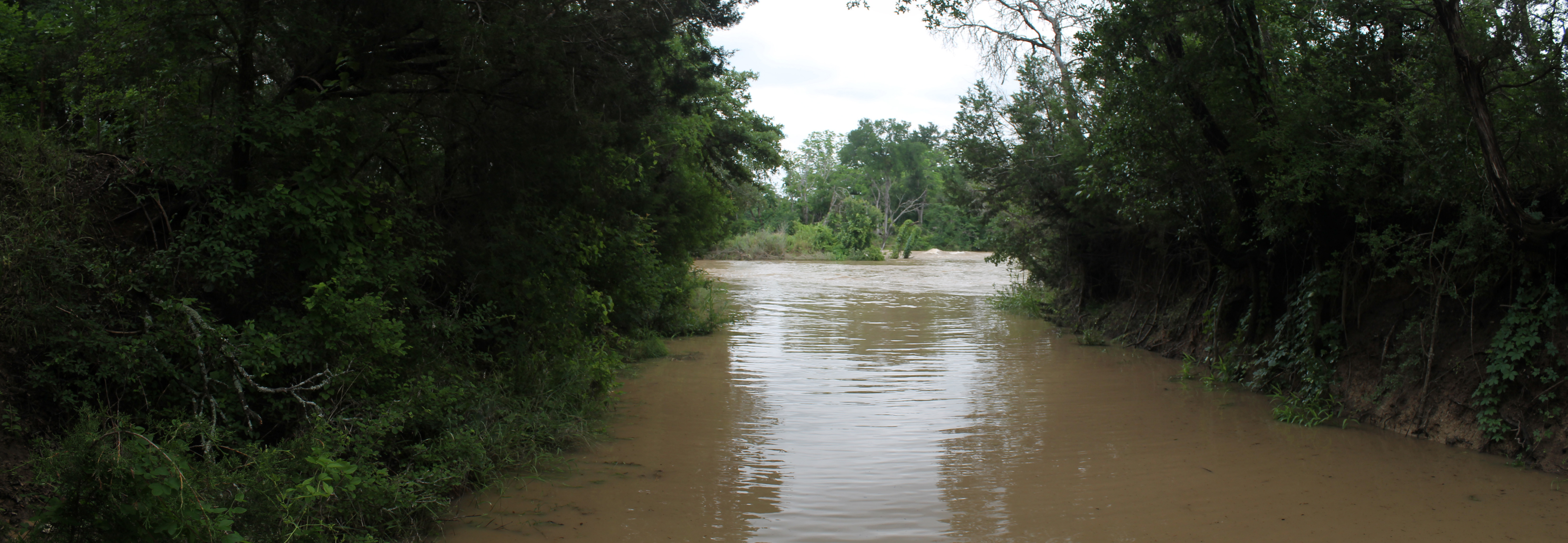
Duffau Creek

Zak Hunting in Bluebonnets

Zak & Nose Hiding in Bluebonnets
Duffau Creek low water bridge and waterfall
Bosque Valley Windmill

Wildflower season, Texas
Duffau Creek, Bosque County
LangstonCrossing5-27-2015_01

Bosque County
Topographic Map of Co Rd, Hico, TX, USA
Find elevation by address:

Places near Co Rd, Hico, TX, USA:
FM, Hico, TX, USA
Hico
Eastland St, Iredell, TX, USA
Iredell
197 Eastland St
14461 Fm1602
FM, Hico, TX, USA
Cranfills Gap
TX-22, Cranfills Gap, TX, USA
7652 Fm 927
5165 Co Rd 2013
3373 Co Rd 303
US-67, Stephenville, TX, USA
Walnut Springs
Hamilton
E Main St, Hamilton, TX, USA
Meridian State Park
Bosque County
36th Division Memorial Hwy, Jonesboro, TX, USA
36th Division Memorial Hwy, Hamilton, TX, USA
Recent Searches:
- Elevation of Fern Rd, Whitmore, CA, USA
- Elevation of 62 Abbey St, Marshfield, MA, USA
- Elevation of Fernwood, Bradenton, FL, USA
- Elevation of Felindre, Swansea SA5 7LU, UK
- Elevation of Leyte Industrial Development Estate, Isabel, Leyte, Philippines
- Elevation of W Granada St, Tampa, FL, USA
- Elevation of Pykes Down, Ivybridge PL21 0BY, UK
- Elevation of Jalan Senandin, Lutong, Miri, Sarawak, Malaysia
- Elevation of Bilohirs'k
- Elevation of 30 Oak Lawn Dr, Barkhamsted, CT, USA