Elevation of Co Rd, Hanceville, AL, USA
Location: United States > Alabama > Cullman County > Hanceville >
Longitude: -86.66642
Latitude: 34.096569
Elevation: 208m / 682feet
Barometric Pressure: 99KPa
Elevation Map:
Satellite Map:
Related Photos:
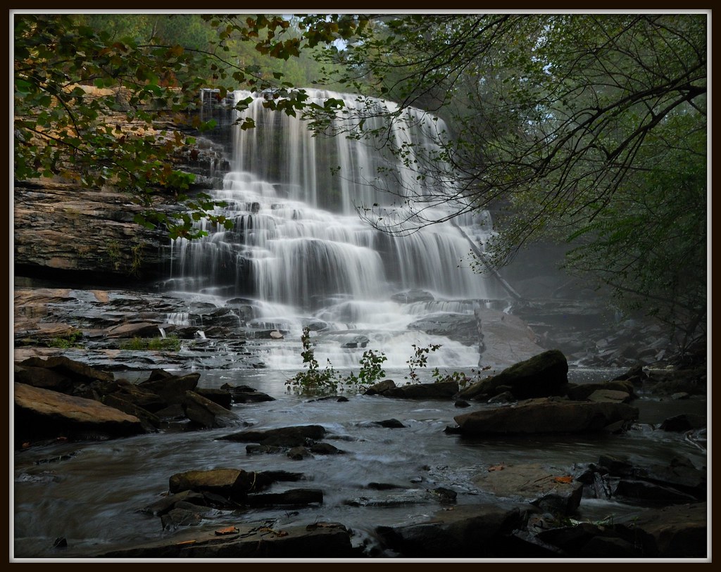
Mardis Mill Falls Revisited
Our Lady of the Angels #Monastery #Shrine of the Most #Blessed #Sacrament, #Hanceville, #Alabama (OLAM SOTMBS) - p7660
Mardis Mill Falls, #2
Alabama Paradise

Abandoned house

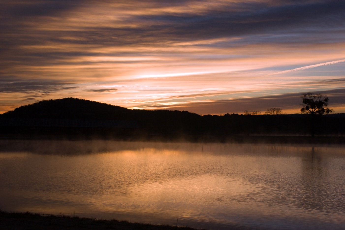
Morning Sun

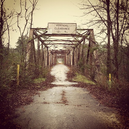
Bridge 2
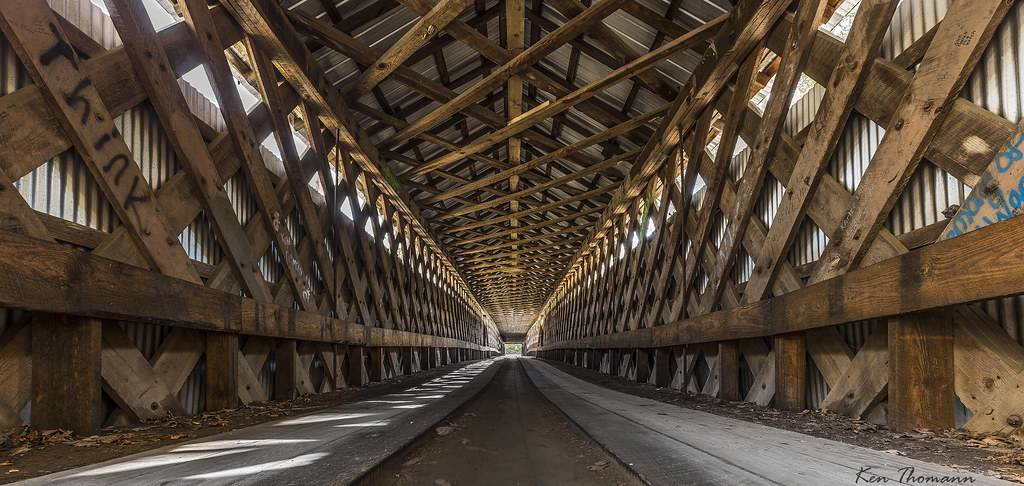
Swann Covered Bridge...

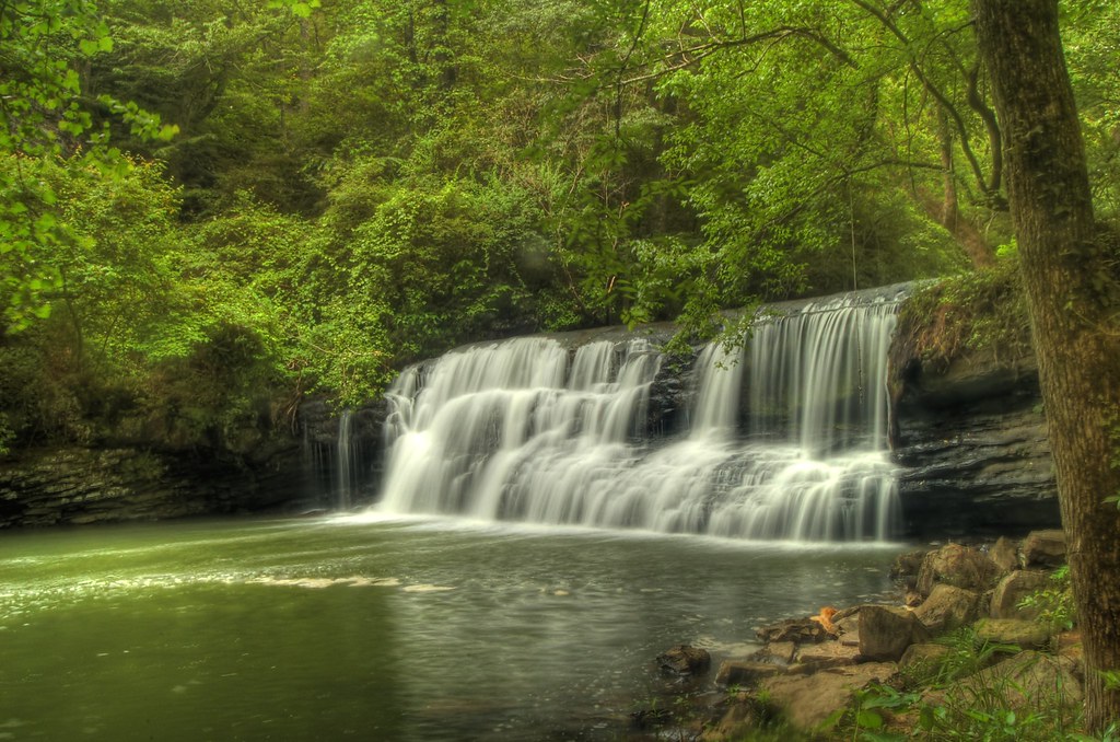
Mardis Mill Falls
Light show at the Bridge
Driveway to Our Lady of the Angels Monastery Shrine of the Most Blessed Sacrament (OLAM SOTMBS) - h7655
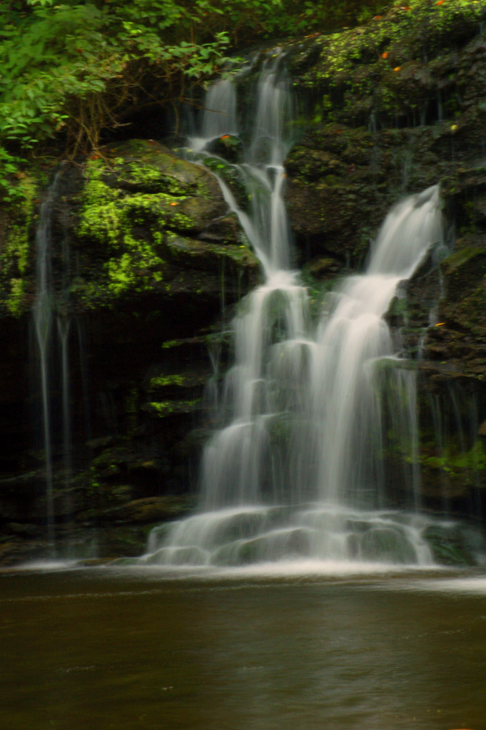
More Nectar Falls
My! What a View

I think I'd like to have lunch on that rock
Beautiful View from Swan Covered Bridge, Cleveland, AL, 10-10-10
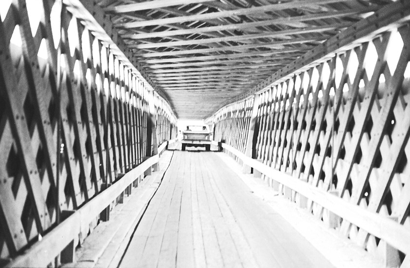
Swann Covered Bridge / P1983-0213a057-06
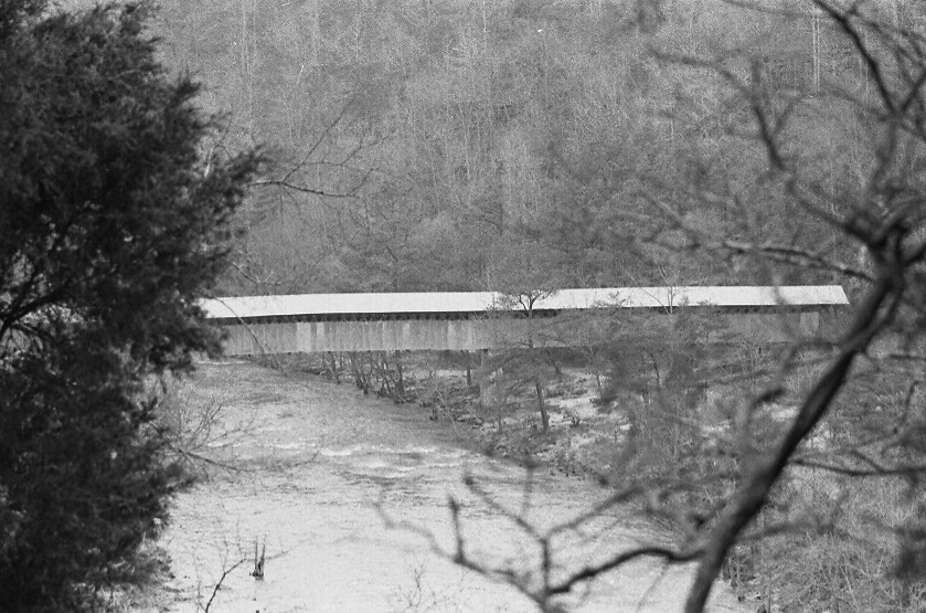
Swann Covered Bridge / P1983-0213a057-10
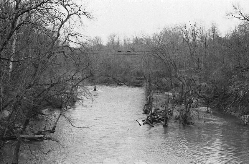
Locust Fork of the Black Warrior River / P1983-0213a057-17
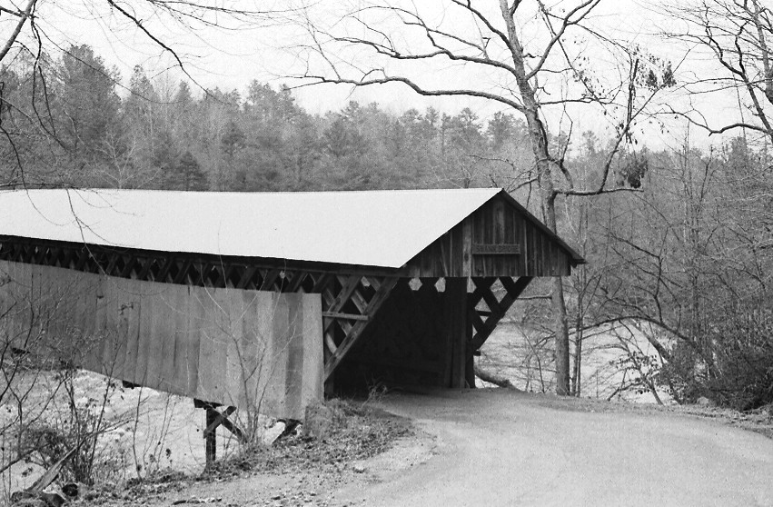
Swann Covered Bridge / P1983-0213a057-08
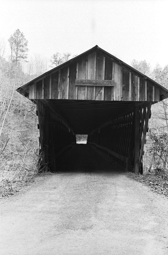
Swann Covered Bridge / P1983-0213a057-03
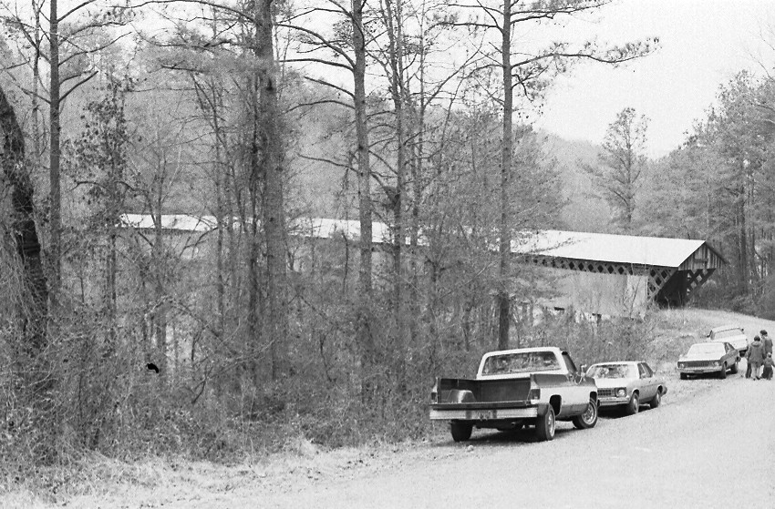
Swann Covered Bridge / P1983-0213a057-02

The Giving Tree

Sun on Mardis Mill

Nectar Falls

Mardis Mill Falls #1
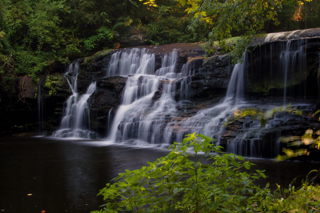
Mardis Mill Falls
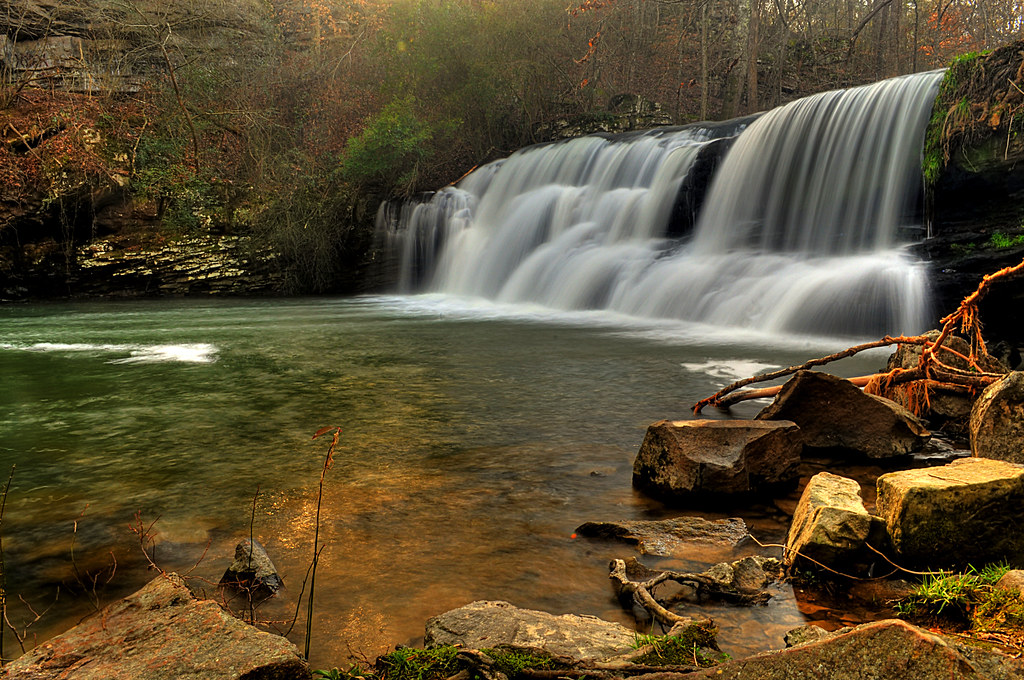
Mardis Mill
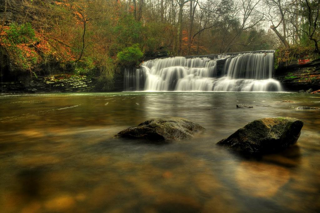
Mardis Mill Falls

Mardis Mill Falls #3
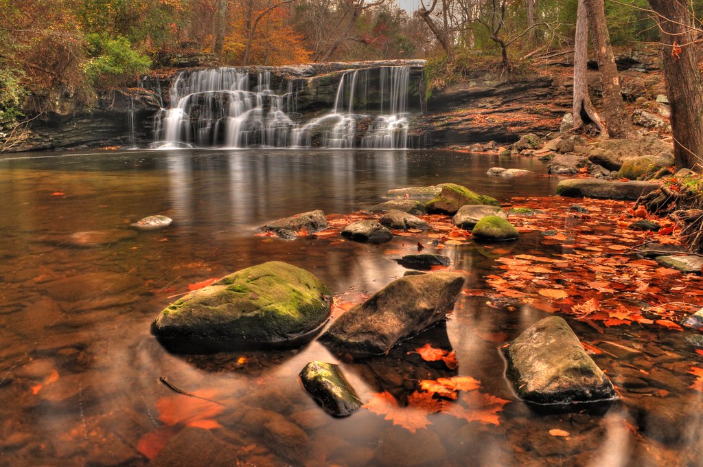
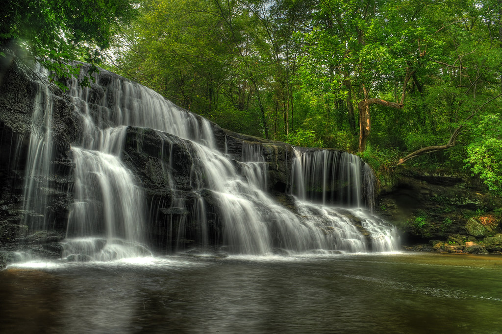
Fall at Mardis Mill
Photographer's Paradise
Mulberry Fork Bridge
Welcome to Welti
Mardis Mill
Lots Of Wood...
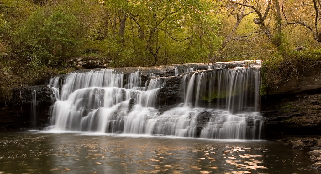
Mardis Mill Falls
Another shot of Mardis Mill Falls
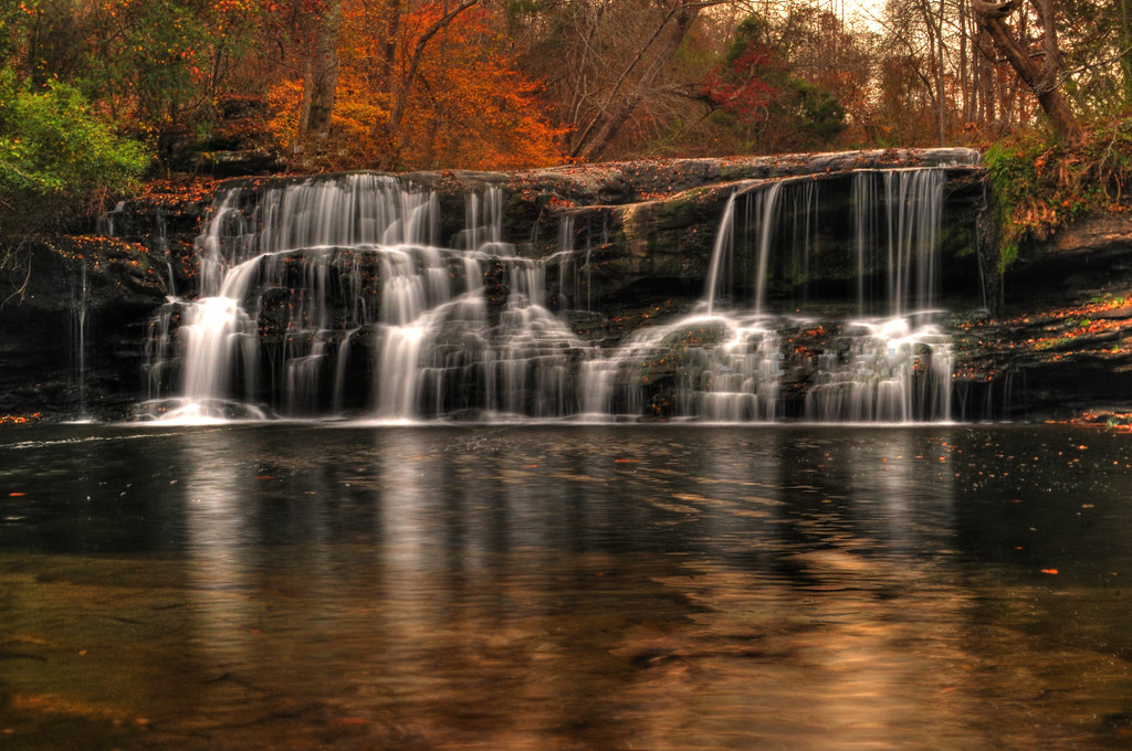
Late Fall at Mardis Mill
Mardis Mill Falls
Topographic Map of Co Rd, Hanceville, AL, USA
Find elevation by address:

Places near Co Rd, Hanceville, AL, USA:
130 Sawmill Rd
Mountain Grove Rd, Blountsville, AL, USA
1307 Co Rd 541
Blountsville
Co Rd, Hanceville, AL, USA
Dorning Rd, Hayden, AL, USA
Fowler Springs Road
43 Chandler Rd, Blountsville, AL, USA
902 Main St Se
Hanceville
183 Fowler Springs Rd
Hanceville, AL, USA
1962 Swann Bridge Rd
US-, Cleveland, AL, USA
Cleveland
442 Red Maple Rd
74 Church St, Hayden, AL, USA
County Hwy 45, Hayden, AL, USA
201 Berry Mountain Loop
Blount County
Recent Searches:
- Elevation of SW 57th Ave, Portland, OR, USA
- Elevation of Crocker Dr, Vacaville, CA, USA
- Elevation of Pu Ngaol Community Meeting Hall, HWHM+3X7, Krong Saen Monourom, Cambodia
- Elevation of Royal Ontario Museum, Queens Park, Toronto, ON M5S 2C6, Canada
- Elevation of Groblershoop, South Africa
- Elevation of Power Generation Enterprises | Industrial Diesel Generators, Oak Ave, Canyon Country, CA, USA
- Elevation of Chesaw Rd, Oroville, WA, USA
- Elevation of N, Mt Pleasant, UT, USA
- Elevation of 6 Rue Jules Ferry, Beausoleil, France
- Elevation of Sattva Horizon, 4JC6+G9P, Vinayak Nagar, Kattigenahalli, Bengaluru, Karnataka, India