Elevation of Co Rd, Green Cove Springs, FL, USA
Location: United States > Florida > Clay County > Green Cove Springs >
Longitude: -81.726039
Latitude: 29.8375743
Elevation: 35m / 115feet
Barometric Pressure: 101KPa
Elevation Map:
Satellite Map:
Related Photos:

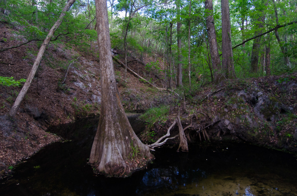
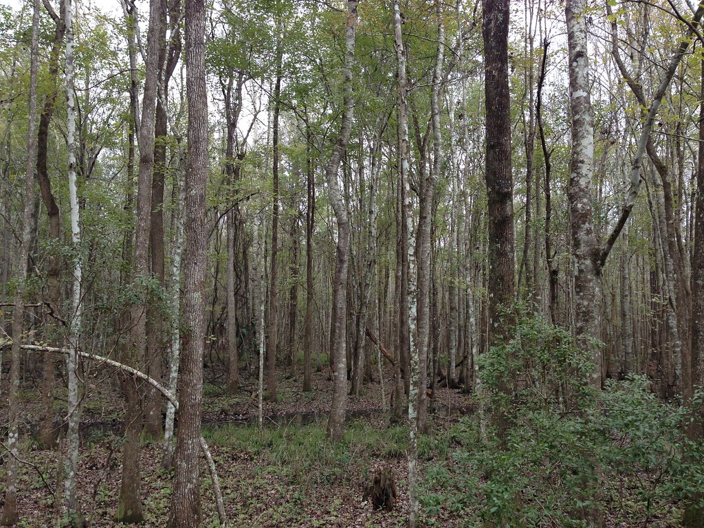
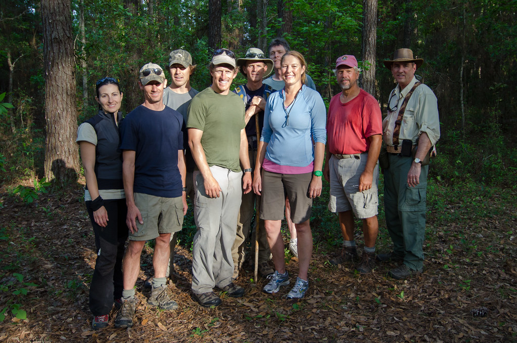
Etoniah Creek State Forest

Etoniah Creek State Forest
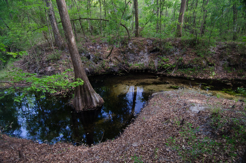
Etoniah Creek State Forest
Etoniah Creek State Forest

St Johns River

Etoniah Creek State Forest
Etoniah Creek State Forest

Sunset, St. Johns River

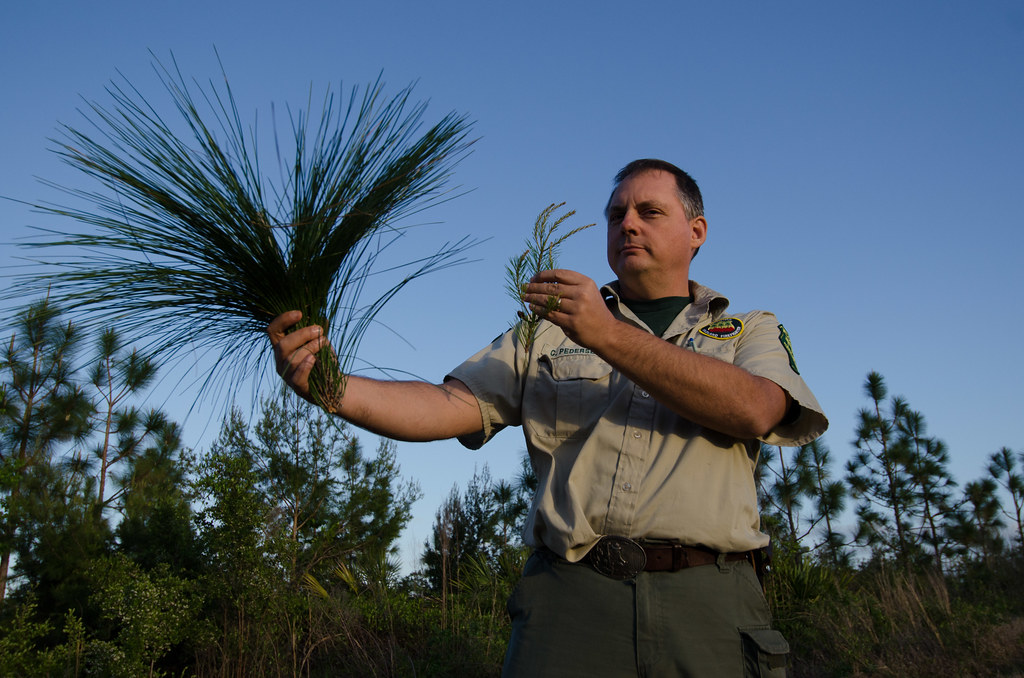
Target archery. An Adventure Camporee! Only in #NorthFloridaScouting. #NFCCamporee2016. #nfcscouting #scoutingadventures #scoutingsdventures2016
Etoniah Creek State Forest

Etoniah Creek State Forest
Etoniah Creek State Forest
Topographic Map of Co Rd, Green Cove Springs, FL, USA
Find elevation by address:

Places near Co Rd, Green Cove Springs, FL, USA:
Songbird Road
191 Johns Rd
Decoy Road
123 Comer Rd
168 Buck Springs Rd
5777 County Rd 209 S
County Rd S, Green Cove Springs, FL, USA
160 Monterey Bay Ln
169 Bostwick Cemetery Rd
140 Wilkinson Rd
US-17, Palatka, FL, USA
531 Hillsborough Ave
127 Pocahontas Rd
218 Eagle Creek Rd
218 Eagle Creek Rd
218 Eagle Creek Rd
218 Eagle Creek Rd
112 Meadow Rd
146 Pioneer Trail
154 St Lucie St
Recent Searches:
- Elevation of Congressional Dr, Stevensville, MD, USA
- Elevation of Bellview Rd, McLean, VA, USA
- Elevation of Stage Island Rd, Chatham, MA, USA
- Elevation of Shibuya Scramble Crossing, 21 Udagawacho, Shibuya City, Tokyo -, Japan
- Elevation of Jadagoniai, Kaunas District Municipality, Lithuania
- Elevation of Pagonija rock, Kranto 7-oji g. 8"N, Kaunas, Lithuania
- Elevation of Co Rd 87, Jamestown, CO, USA
- Elevation of Tenjo, Cundinamarca, Colombia
- Elevation of Côte-des-Neiges, Montreal, QC H4A 3J6, Canada
- Elevation of Bobcat Dr, Helena, MT, USA