Elevation of Co Rd, Florence, AL, USA
Location: United States > Alabama > Lauderdale County > Florence >
Longitude: -87.869221
Latitude: 34.8306942
Elevation: 154m / 505feet
Barometric Pressure: 99KPa
Elevation Map:
Satellite Map:
Related Photos:

Forks of Cypress remains

Mottled Barn

2010-04-24 15.21.36

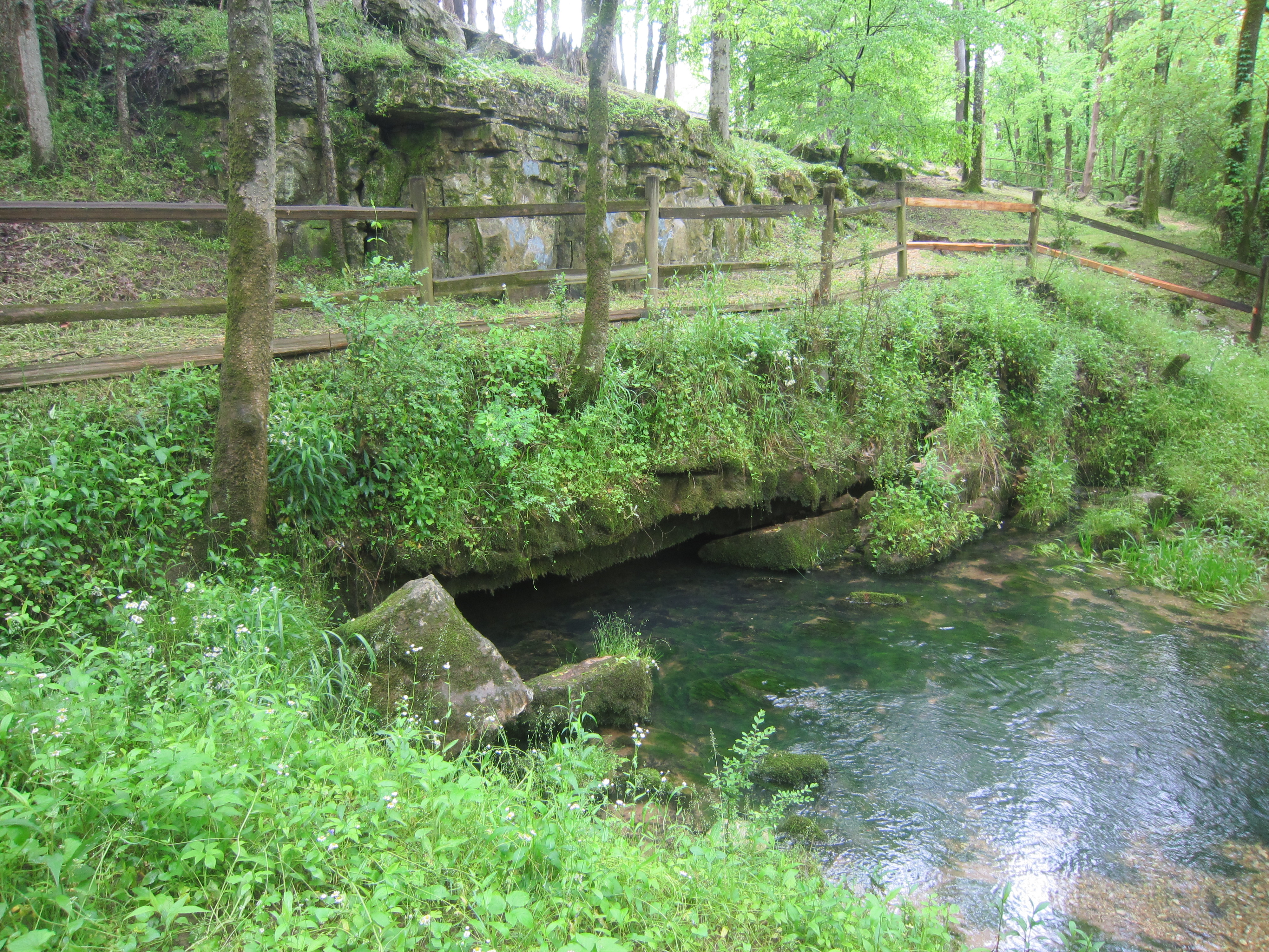
Cypress Creek (Florence, AL)

2010-04-24 17.28.01

2010-04-24 17.28.09

Road in October

Cypress Creek (Florence, AL)

Forks of Cypress

Cypress Creek (Florence, AL)

Sea of cotton

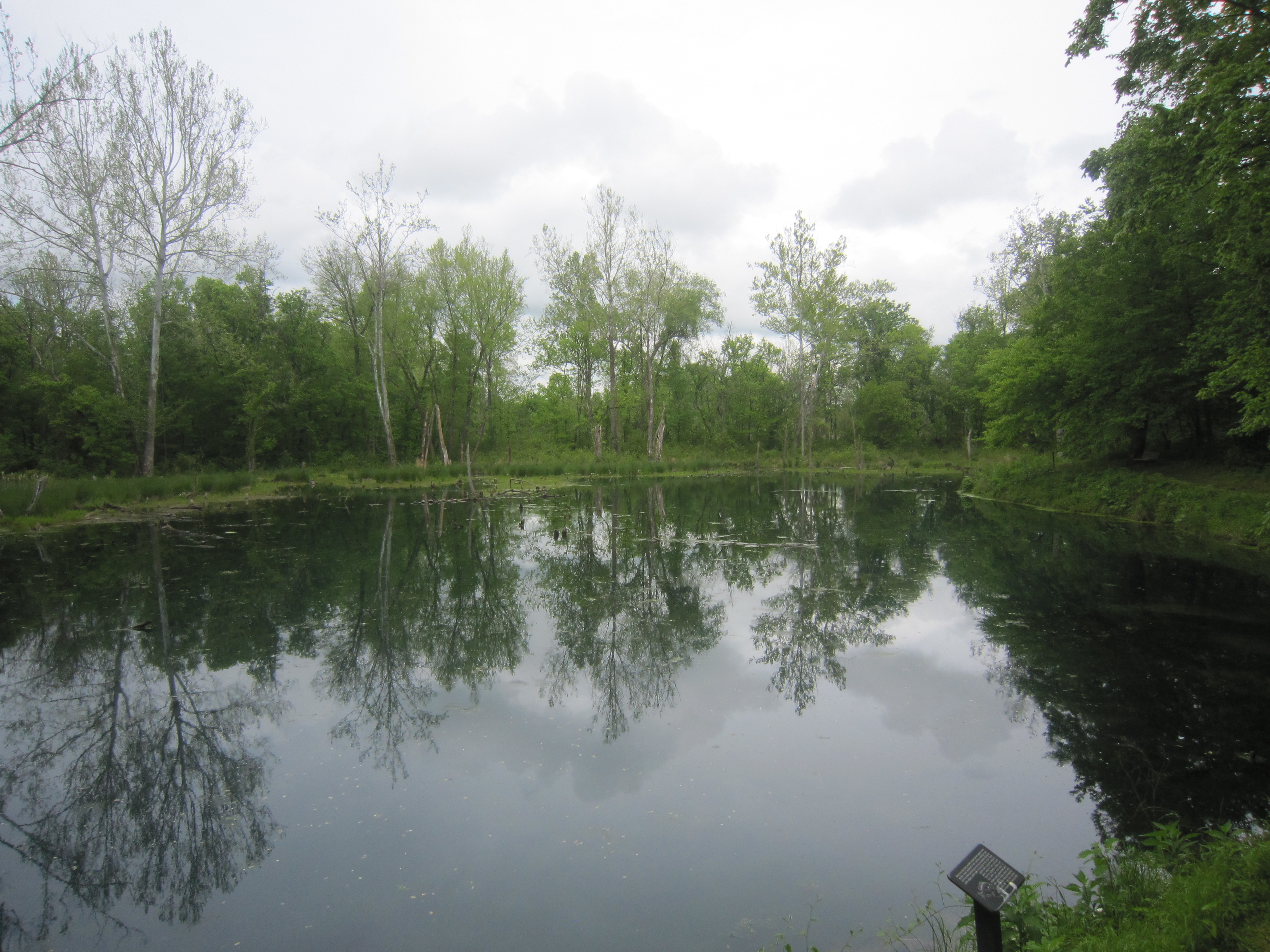
Rock Springs

Tennessee River
MP 320.3 Buzzard Roost Spring

Winter Wheat

The Trace

Winter Wheat

Along the creek

2010-04-24 15.21.09

2010-04-24 15.20.10
MP 330.2 Rock Spring 2

Stepping Stones
Topographic Map of Co Rd, Florence, AL, USA
Find elevation by address:

Places near Co Rd, Florence, AL, USA:
2301 Co Rd 186
1080 Co Rd 106
1080 Co Rd 106
Co Rd, Florence, AL, USA
Windover Rd, Florence, AL, USA
Co Rd 41, Florence, AL, USA
880 Co Rd 118
Eunice Ave, Florence, AL, USA
Cypress Bend Place
1635 Ridge Ave
1721 Jackson Rd
Underwood-petersville
Cambridge Dr, Florence, AL, USA
Athens Street
Seven Points
North Florence
University Of North Alabama
2700 Co Rd 24
1613 Edgemont Dr
Una
Recent Searches:
- Elevation of 15th Ave SE, St. Petersburg, FL, USA
- Elevation of Beall Road, Beall Rd, Florida, USA
- Elevation of Leguwa, Nepal
- Elevation of County Rd, Enterprise, AL, USA
- Elevation of Kolchuginsky District, Vladimir Oblast, Russia
- Elevation of Shustino, Vladimir Oblast, Russia
- Elevation of Lampiasi St, Sarasota, FL, USA
- Elevation of Elwyn Dr, Roanoke Rapids, NC, USA
- Elevation of Congressional Dr, Stevensville, MD, USA
- Elevation of Bellview Rd, McLean, VA, USA