Elevation of Co Rd, Celina, TX, USA
Longitude: -96.757935
Latitude: 33.399809
Elevation: 208m / 682feet
Barometric Pressure: 99KPa
Elevation Map:
Satellite Map:
Related Photos:
Full Circle
Dorchester United
Red Column
Prosper Farm in Snow

Is there a Message Hidden within the Cosmos?

'Tired' Pumps

RGB 8.0
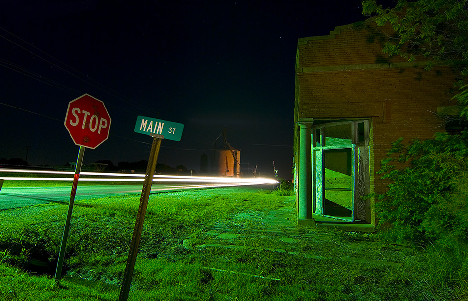
Stop Main St
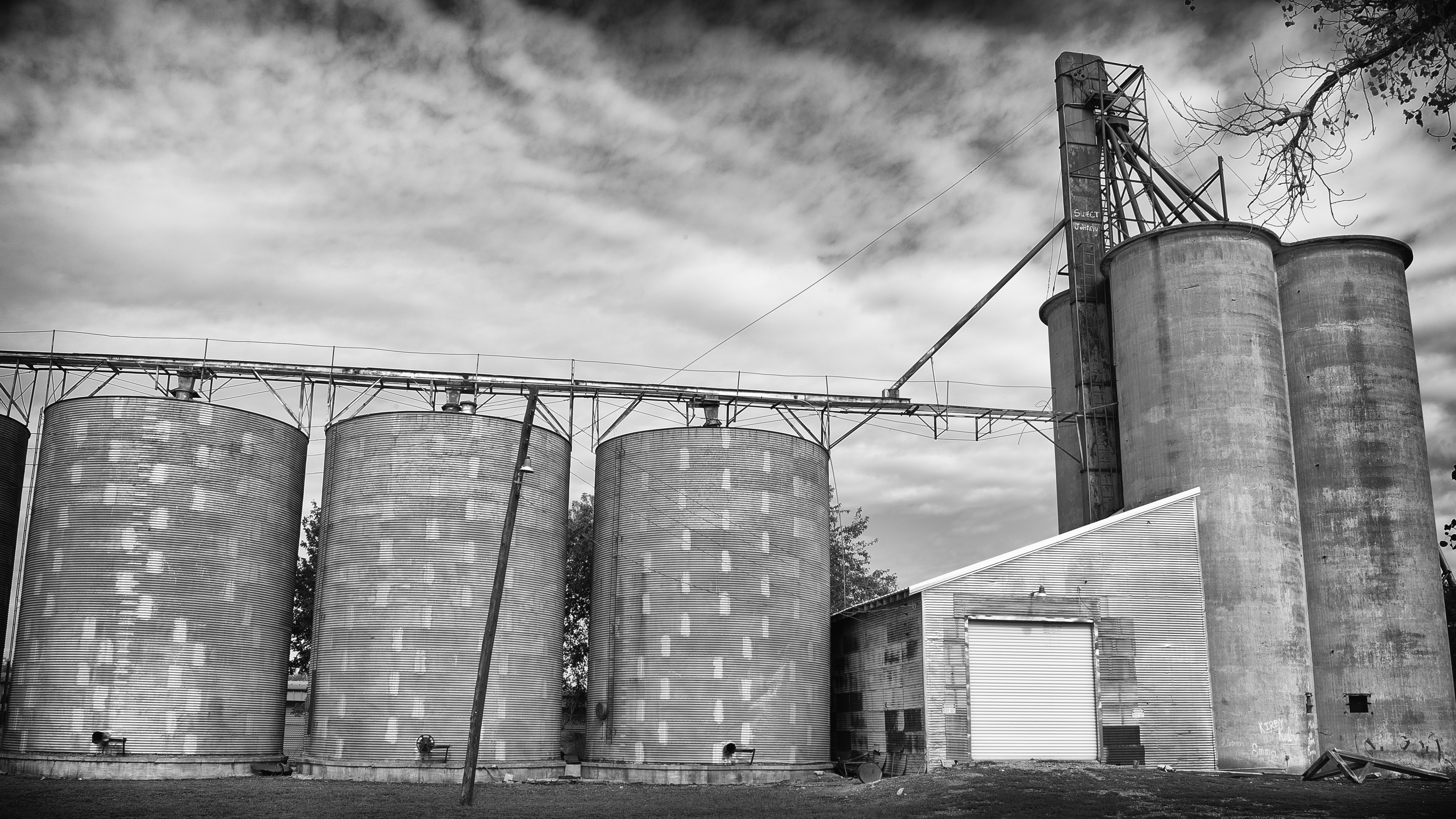
Sweet Johnny

Happy Halloween

I have no clue where I am, but it's gorgeous (I just picked someone else's location)! A Lazy #Field... Near #Oklahoma

Mid flight #sky #texas #airplane

Sunset on Aubrey

Prosper Farm Panoramic

Celina, Texas

491731-R1-03-2 02 s

DSC04540.jpg

Colmena Ranch At Sunset

Snowstorm Sunrise

Idyll II
Colmena Ranch at Sunset

Idyll I

2013-10-07 09.30.47

OI000055-01
Topographic Map of Co Rd, Celina, TX, USA
Find elevation by address:

Places near Co Rd, Celina, TX, USA:
2nd Street
Gunter
700 Scoggins Rd
1505 Buck Creek Rd
Dorchester
FM, Dorchester, TX, USA
1606 Buck Creek Rd
Tioga
Welch School Lane
1001 Foundation Dr
1001 Foundation Dr
1001 Foundation Dr
Pilot Point High School
Collinsville
812 Mckenzie Rd
945 Co Rd 203
Lake Ray Roberts
40 County Rd 2263
519 Kiowa Dr E
Recent Searches:
- Elevation of Congressional Dr, Stevensville, MD, USA
- Elevation of Bellview Rd, McLean, VA, USA
- Elevation of Stage Island Rd, Chatham, MA, USA
- Elevation of Shibuya Scramble Crossing, 21 Udagawacho, Shibuya City, Tokyo -, Japan
- Elevation of Jadagoniai, Kaunas District Municipality, Lithuania
- Elevation of Pagonija rock, Kranto 7-oji g. 8"N, Kaunas, Lithuania
- Elevation of Co Rd 87, Jamestown, CO, USA
- Elevation of Tenjo, Cundinamarca, Colombia
- Elevation of Côte-des-Neiges, Montreal, QC H4A 3J6, Canada
- Elevation of Bobcat Dr, Helena, MT, USA