Elevation of Co Rd C, Marble Falls, TX, USA
Location: United States > Texas > Burnet County > Marble Falls >
Longitude: -98.238292
Latitude: 30.5865681
Elevation: 263m / 863feet
Barometric Pressure: 98KPa
Elevation Map:
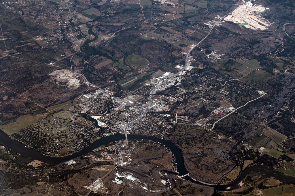
Satellite Map:
Related Photos:

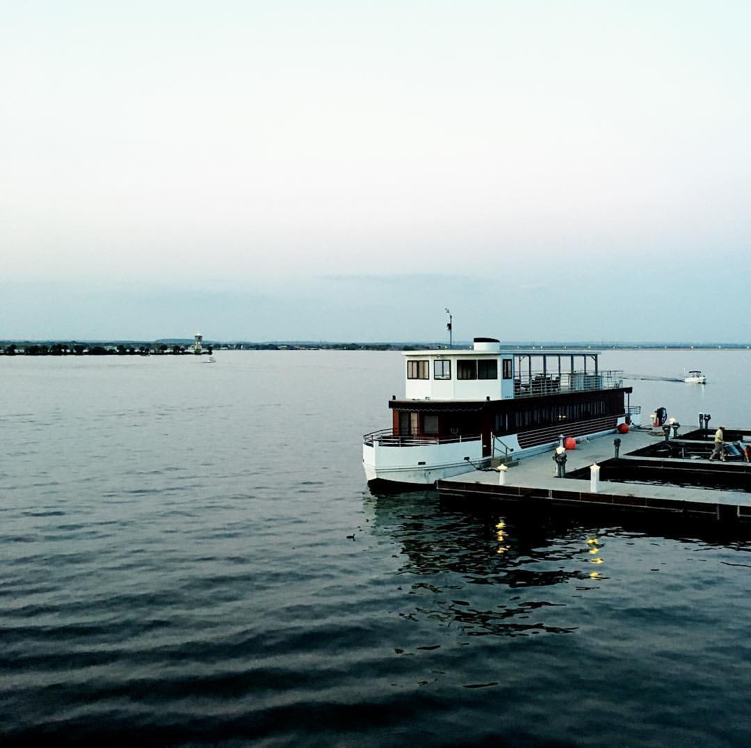
Another view of the dock construction

Summer, Summer, Summertime.
Marble Falls, TX [EXPLORED 5/14/17 - highest position #487]
View!

Burnet - Inside Garden House View
View from our balcony at Horseshoe Bay.

Life at Dead Man's Hole

Hiding in Plain view

Marble Falls Starbucks
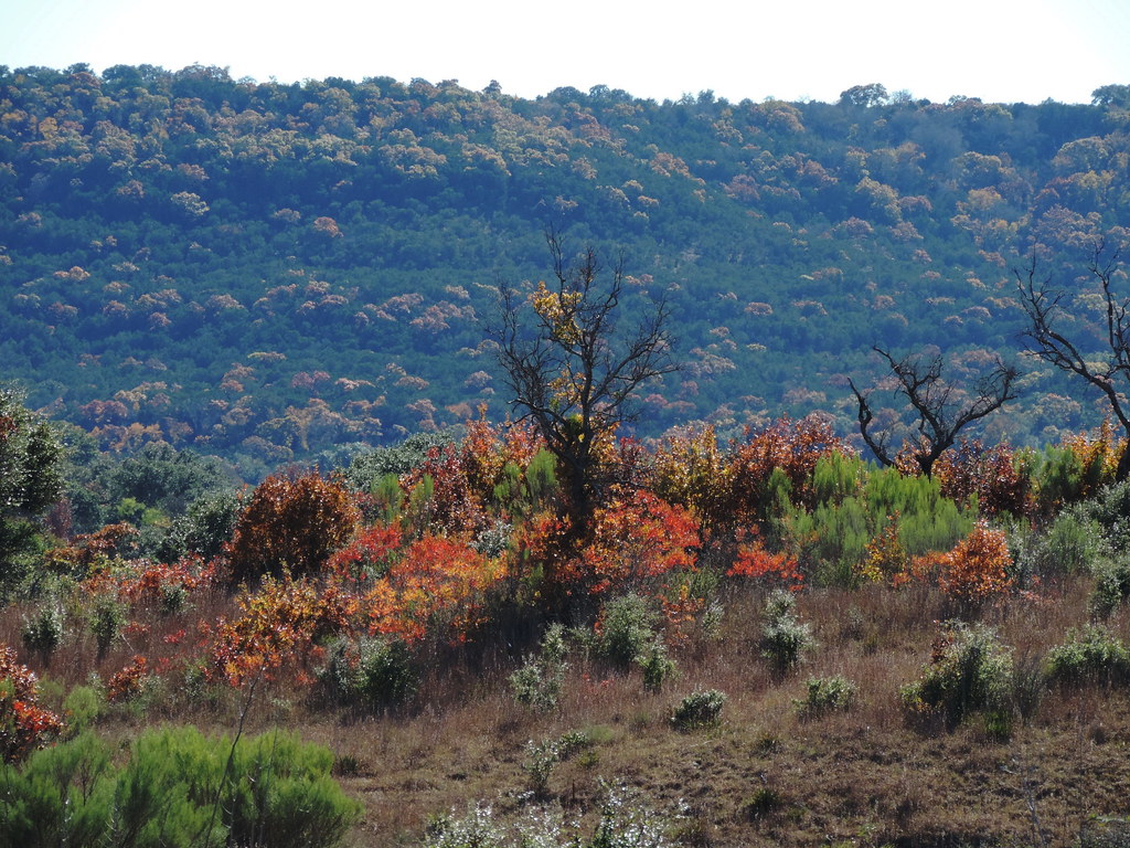
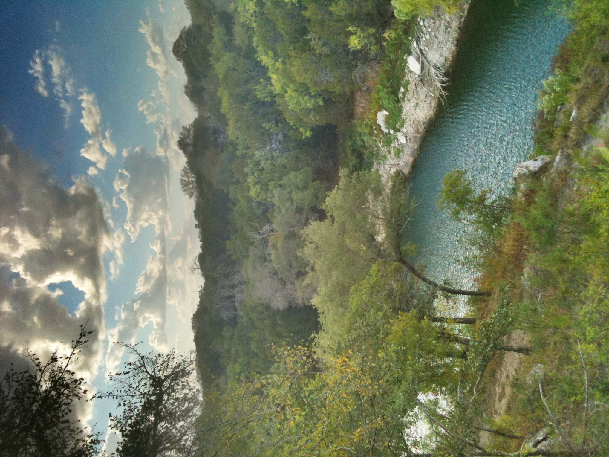
Balcones Canyonlands color

Wildflower with bug on it
Marble Falls 029
Horse sculpture in downtown Marble Falls - side view

Texas Corn Maze

Railing corner view PA062063

Sunset PA062064

May the wind take your troubles away

Chubby Jumper

Sketchy Drop - Rear View

House closer view PA082113

Easterly view PA082115

US 281 Bridge, Marble Falls, TX

Burnet - Danger

Krause Springs.... Quite possibly my favorite place right outside of Austin.
US 281 Bridge over Lake Marble Falls

Sunrise on the Lake

Colored Lights

Greenthread and Bluebonnet Field (panoramic)
2014-05-04 09.30.45

Cow and Bluebonnets -- April 2005

Burnet - Reaching The Surface

Burnet - Garden Yucca
Sunset Marble Falls

Burnet - Garden Entrance
Bluebonnet House
20130129-093147-Edit.jpg

Texas Sunset

Hill Country Burnet County Rd 335 Panorama II
A hot day riding at a great place #hiddenfallsadventurepark
2010-12-26_16-45-07_489

Texas Hill Country and Marble Falls Panorama from Co Rd 341

Work trips aren't all that bad.
Topographic Map of Co Rd C, Marble Falls, TX, USA
Find elevation by address:

Places near Co Rd C, Marble Falls, TX, USA:
Burnet County
Granite Shoals
Cedar Break Lane
Seton Highland Lakes Specialty Clinic
651 Cedar Break Ln
1139 N Shorewood Dr
218 Driftwood Dr
143 S Shorewood Dr
404 Lake Downs Dr
Indian Springs Road
220 S Pierce St
Burnet
Sunrise Beach Village
Airview Blvd, Sunrise Beach Village, TX, USA
1200 E Polk St
Leffingwell Lane
8141 Co Rd 116
8141 Co Rd 116
7203 State Park Rd 4
8644 Co Rd 116
Recent Searches:
- Elevation of Fern Rd, Whitmore, CA, USA
- Elevation of 62 Abbey St, Marshfield, MA, USA
- Elevation of Fernwood, Bradenton, FL, USA
- Elevation of Felindre, Swansea SA5 7LU, UK
- Elevation of Leyte Industrial Development Estate, Isabel, Leyte, Philippines
- Elevation of W Granada St, Tampa, FL, USA
- Elevation of Pykes Down, Ivybridge PL21 0BY, UK
- Elevation of Jalan Senandin, Lutong, Miri, Sarawak, Malaysia
- Elevation of Bilohirs'k
- Elevation of 30 Oak Lawn Dr, Barkhamsted, CT, USA