Elevation of Co Rd, Berryville, AR, USA
Location: United States > Arkansas > Carroll County > Prairie Township > Berryville >
Longitude: -93.652069
Latitude: 36.4428744
Elevation: -10000m / -32808feet
Barometric Pressure: 295KPa
Elevation Map:
Satellite Map:
Related Photos:
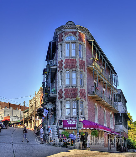
Flatiron Flats

W.S. Wadsworth Furniture Emporium and Funeral Establishment, Eureka Springs, Arkansas

Jacuzzi view

The Christ of the Ozarks, at a Considerable Distance

Basin Park Motel

feeling distant

Eureka Springs, Arkansas

Eureka!

The Heart of Eureka Springs Arkansas

Gone but not forgotten

Sunset over the White River

Lofty Lookout Cottage
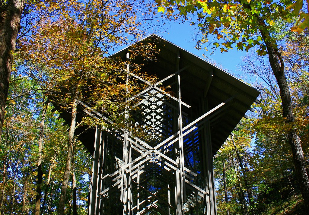
Thorncrown Chapel

Eureka Springs Street View

Eureka Springs, Ark. - Blocksom & Co. Undertakers, Eureka Springs, Arkansas

When invited into the cab...

Picture perfect table setting

Heart-shaped jacuzzi

My Wedding

Street View, Eureka Springs

Street View, Eureka Springs

Thorncrown Chapel

Fall in Eureka Springs

Blue Fog Sunset

St Elizabeths Church

Fog in the Valley

Abandoned Train Tunnel

Thorncrown Chapel

Northwestern Arkansas Landscape (Carroll County, Arkansas)

Ozark Mountians and White River,

Eureka Lane

The White River outside Eureka Springs, Arkansas...

Ozark Countryside

Grandma's Fence

Throwncrown Path

Saint Elizabeth in the Fall

On a Golden Road

Beaver Bridge remains closed

Crescent Hotel Eureka Springs, Ar.

ES Fall 2008 003 1280
Topographic Map of Co Rd, Berryville, AR, USA
Find elevation by address:

Places near Co Rd, Berryville, AR, USA:
Kings River Township
1779 Co Rd 246
2316 Co Rd 211
1830 Co Rd 246
County Rd, Berryville, AR, USA
62-68 Lady Mary Ln
Cross Township
1 Co Rd 2073
County Road 225
County Road 225
6781 Ar-23
28981 Farm Rd 1247
Franklin Township
1526 Us-62
Stonehaven Retreat
Highway 62 West
38 Holiday Island Dr
28866 Farm Rd 1260
Pyramid Lane
131 Co Rd 242
Recent Searches:
- Elevation of Congressional Dr, Stevensville, MD, USA
- Elevation of Bellview Rd, McLean, VA, USA
- Elevation of Stage Island Rd, Chatham, MA, USA
- Elevation of Shibuya Scramble Crossing, 21 Udagawacho, Shibuya City, Tokyo -, Japan
- Elevation of Jadagoniai, Kaunas District Municipality, Lithuania
- Elevation of Pagonija rock, Kranto 7-oji g. 8"N, Kaunas, Lithuania
- Elevation of Co Rd 87, Jamestown, CO, USA
- Elevation of Tenjo, Cundinamarca, Colombia
- Elevation of Côte-des-Neiges, Montreal, QC H4A 3J6, Canada
- Elevation of Bobcat Dr, Helena, MT, USA