Elevation of Co Rd 83, Berry, AL, USA
Location: United States > Alabama > Tuscaloosa County > Berry >
Longitude: -87.514522
Latitude: 33.6372297
Elevation: 224m / 735feet
Barometric Pressure: 99KPa
Elevation Map:
Satellite Map:
Related Photos:
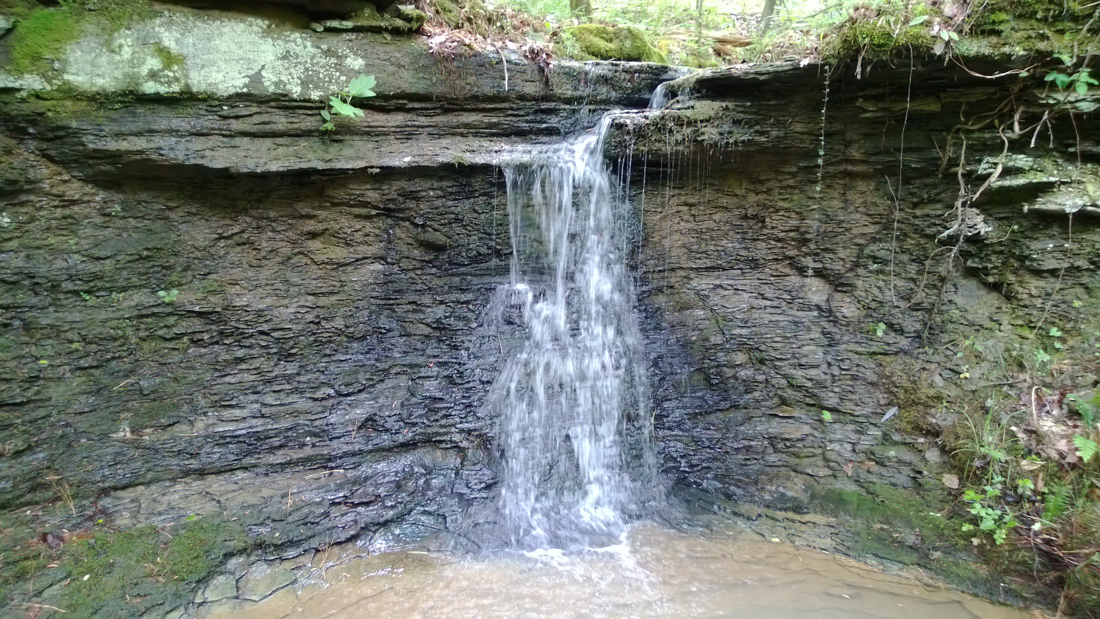
Waterfall.

DSC06771-01

dsc06314-01

100_3143-1

Pear Blossom 2016

BB House

Spring 2016

Spring 2016

Signs of Fall

Fall in Northport

Alabama in bloom

NS Coltainer Train 743

burning bush

when the sun leaves

sunset of life

hang on

dressed in leaves

standing in the fall

winter's coming

Samantha Cranford & Joshua Earnest
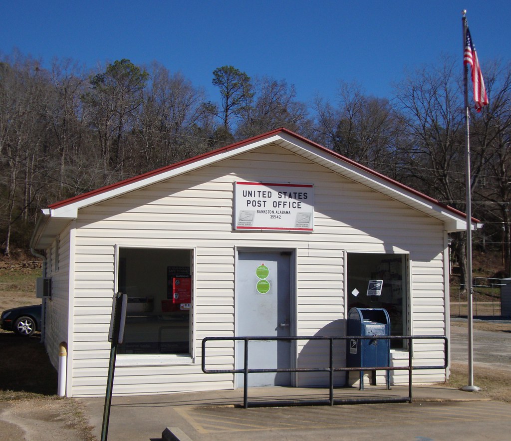
Post Office 35542 (Bankston, Alabama)
Topographic Map of Co Rd 83, Berry, AL, USA
Find elevation by address:

Places near Co Rd 83, Berry, AL, USA:
Berry
35 AL-18, Oakman, AL, USA
Hwy 69 N, Berry, AL, USA
Blue Water Rd, Oakman, AL, USA
Co Rd 93, Berry, AL, USA
Oakman
Hwy 69 N, Berry, AL, USA
Bankston
US-43, Bankston, AL, USA
Parrish
Fayette County
Carmel Bay Drive
39 Short Loop
15770 Edwardian Dr
Jake Sanford Road
America Junction Rd, Parrish, AL, USA
America Junction Road
Goodsprings
Co Rd 35, Fayette, AL, USA
Phillips Mountain
Recent Searches:
- Elevation of Congressional Dr, Stevensville, MD, USA
- Elevation of Bellview Rd, McLean, VA, USA
- Elevation of Stage Island Rd, Chatham, MA, USA
- Elevation of Shibuya Scramble Crossing, 21 Udagawacho, Shibuya City, Tokyo -, Japan
- Elevation of Jadagoniai, Kaunas District Municipality, Lithuania
- Elevation of Pagonija rock, Kranto 7-oji g. 8"N, Kaunas, Lithuania
- Elevation of Co Rd 87, Jamestown, CO, USA
- Elevation of Tenjo, Cundinamarca, Colombia
- Elevation of Côte-des-Neiges, Montreal, QC H4A 3J6, Canada
- Elevation of Bobcat Dr, Helena, MT, USA