Elevation of Co Rd 5, Weldona, CO, USA

Location: United States > Colorado > Morgan County > Weldona >

Longitude: -104.05127

Latitude: 40.36062

Elevation: 1333m / 4373feet

Barometric Pressure: 86KPa

Elevation Map:

elevation map of Co Rd 5, Weldona, CO, USA

Satellite Map:

Satellite map of Co Rd 5, Weldona, CO, USA

Related Photos:

blue light summer sky cloud moon storm nature beautiful field rain weather night clouds dark stars landscape colorado energy power natural flash country scenic stormy fullmoon astrophotography bolt electricity strike astronomy thunderstorm lightning powerful thunder thunderstorms thunderbolt jacksonlake morgancounty lightningman coloradothunderstorms jamesinsogna
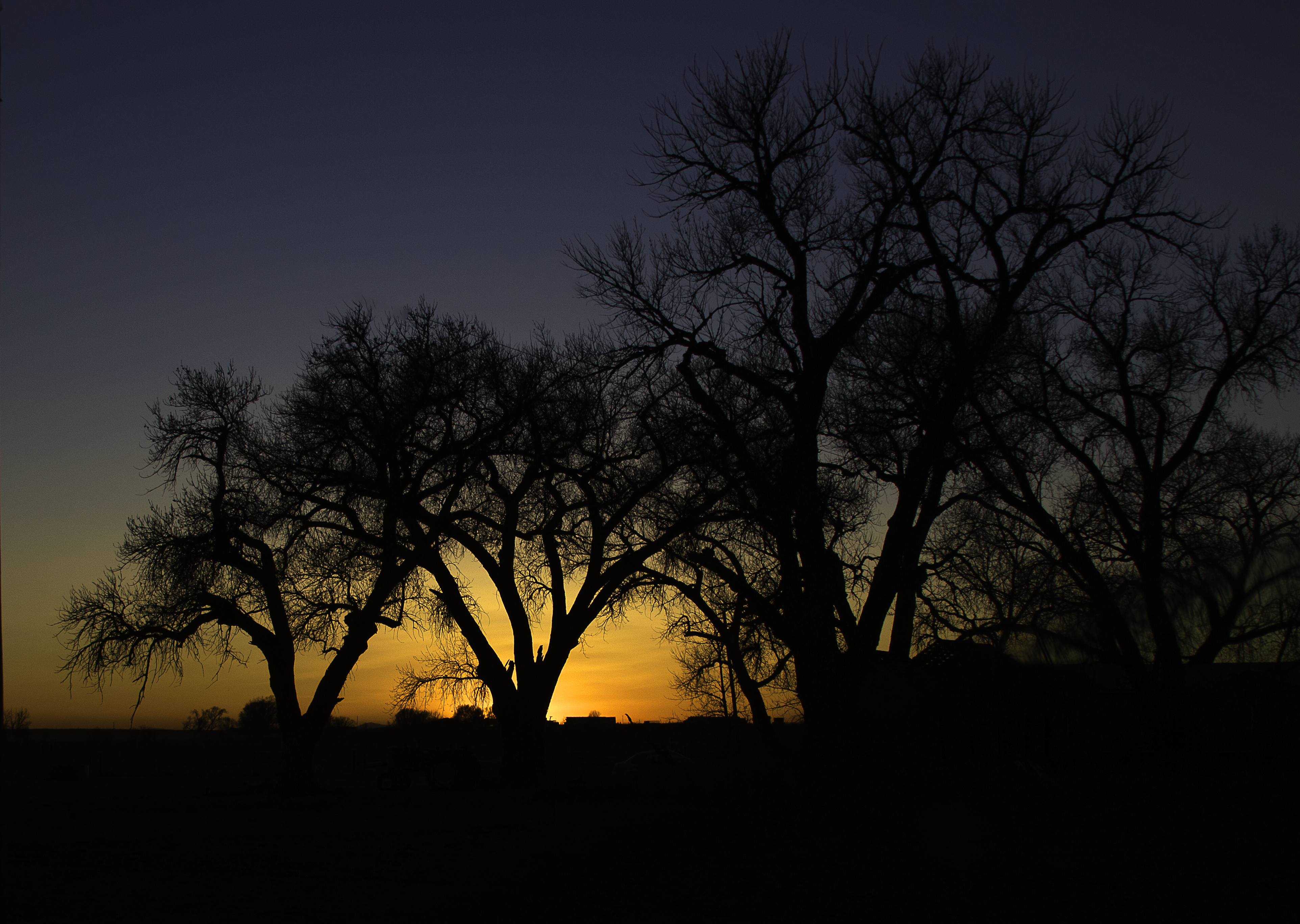
Lake Side Storm Watching
blue light summer sky cloud moon storm nature beautiful field rain weather night clouds dark stars landscape colorado energy power natural flash country scenic stormy fullmoon astrophotography bolt electricity strike astronomy thunderstorm lightning powerful thunder thunderstorms thunderbolt jacksonlake morgancounty lightningman jamesinsogna
Lake Lightning Striking Thunderstorm Cell and Full Moon
storm lightning clouds sky nature thunder dark weather power stormy cloud thunderstorm thunderstorms blue strike rain night light energy field electricity scenic bolt thunderbolt beautiful landscape summer powerful flash natural stars jamesinsogna lightningman astrophotography astronomy country colorado morgancounty jacksonlake moon fullmoon cloudsstormssunsetssunrises
Lightning Striking Thunderstorm Cell and Full Moon
travel blue light summer sky cloud moon storm nature water beautiful field rain weather night clouds dark stars landscape scenery colorado energy power view natural flash country lakes scenic stormy fullmoon astrophotography bolt electricity strike astronomy thunderstorm lightning powerful thunder thunderstorms thunderbolt jacksonlake morgancounty lightningman jamesinsogna
Lake Storm
travel summer sky cloud storm nature beautiful rain weather clouds rural sunrise dark landscape colorful natural cloudy sunsets stormy rainy environment thunderstorm lightning lightening thunder cloudtocloud coloradothunderstorms jamesinsogna
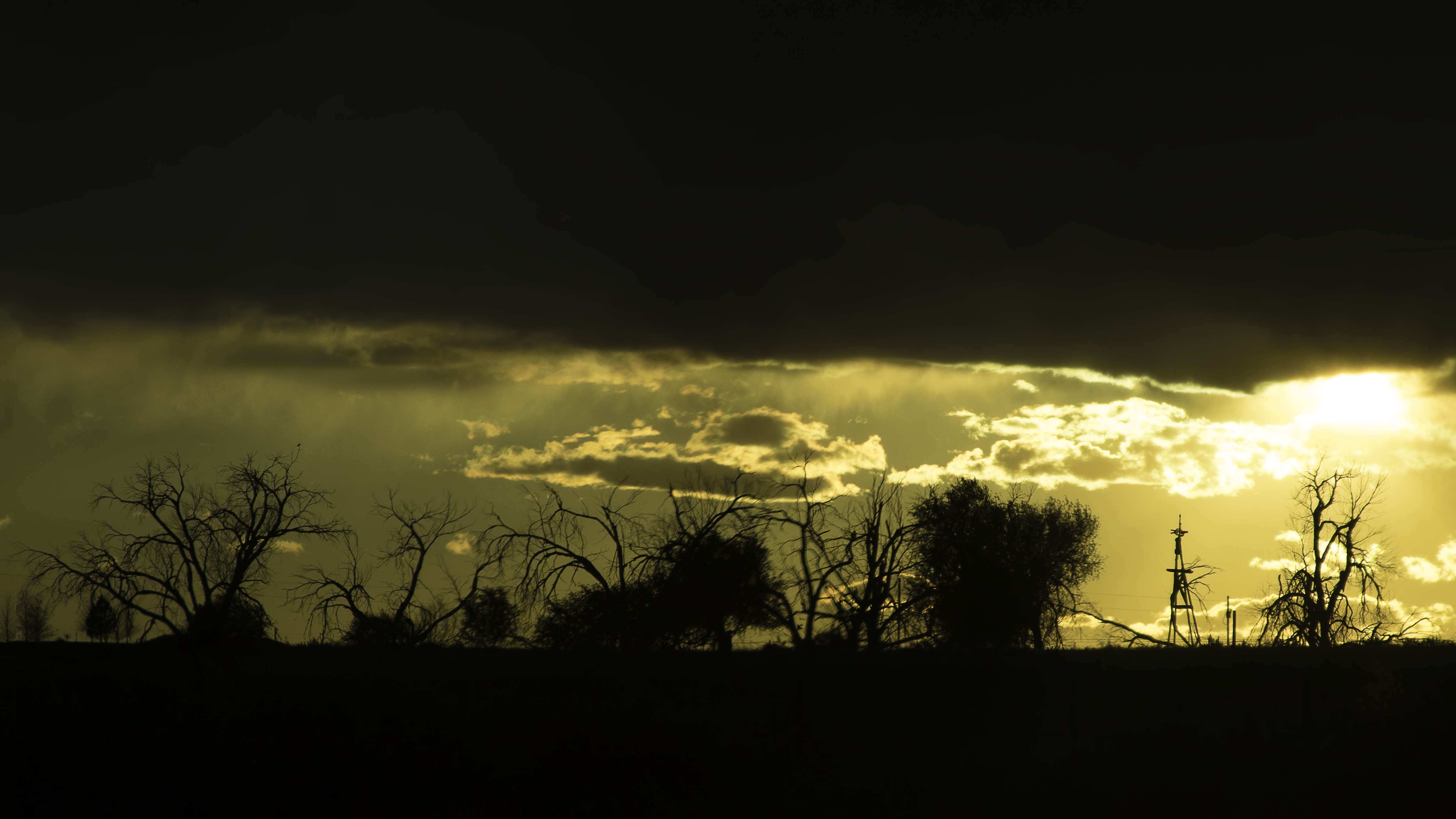
Sunset Cloud to Cloud Lightning Storm
Jackson Reservoir
morgancounty nature landscape farm rural birds flock pole pinnacle bbb coloradophotography bbbb 100best evelyncolumbia colorado minimalism landscape112616 top40of2016 toplandscape2016 onsmugmug b4 clouds 100best2 telegraphtuesdaypending animal bfour structure morganco bestbirds b5 county country necolorado
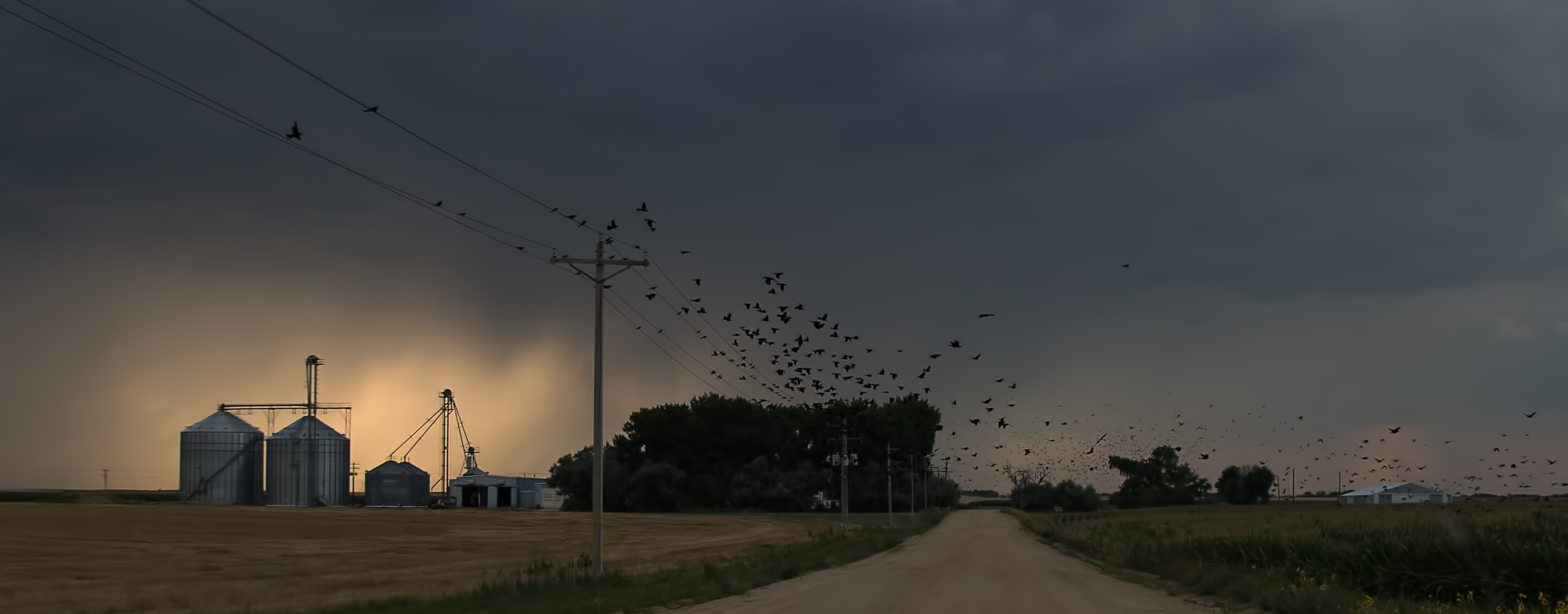
flock - Morgan County (Colorado) Road T, between MCR 11 and MCR 12, WNW of Fort Morgan - PLDL7568
colorado co countysigns statesigns landscapes morgancounty greatplains northamerica unitedstates us
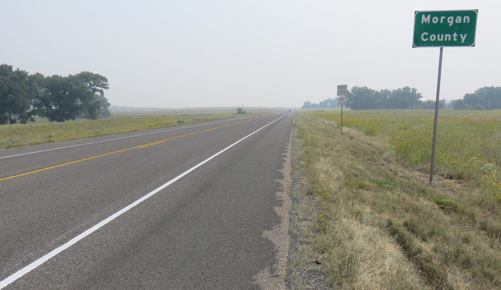
Entering Morgan County (Morgan County, Colorado)
morgancounty landscape sky farm minimalism nature pinnacle bbb bbbb coloraodphotography coloradophotography 100best colorado minimaltop7 landscape112616 bestbest top40of2016 toplandscape2016 b4 100best2 beholderjuly2017v2 beholderjuly2017v3 rural country bfour morganco b5 county far clouds necolorado
At Morgan County (Colorado) Roads U & 7, facing NW - PLDL7843 40°17'27" N 104°1'5" W
morgancounty rural pole colorado nature clouds road pinnacle bbb 100best bbbb minimalism top40of2016 onsmugmug b4 landscape 100best2 100best3 beholderjuly2017 beholderjuly2017v2 beholderjuly2017v3 telegraphtuesdaypending leadinglines bfour structure vanishingpoint b5 county country necolorado
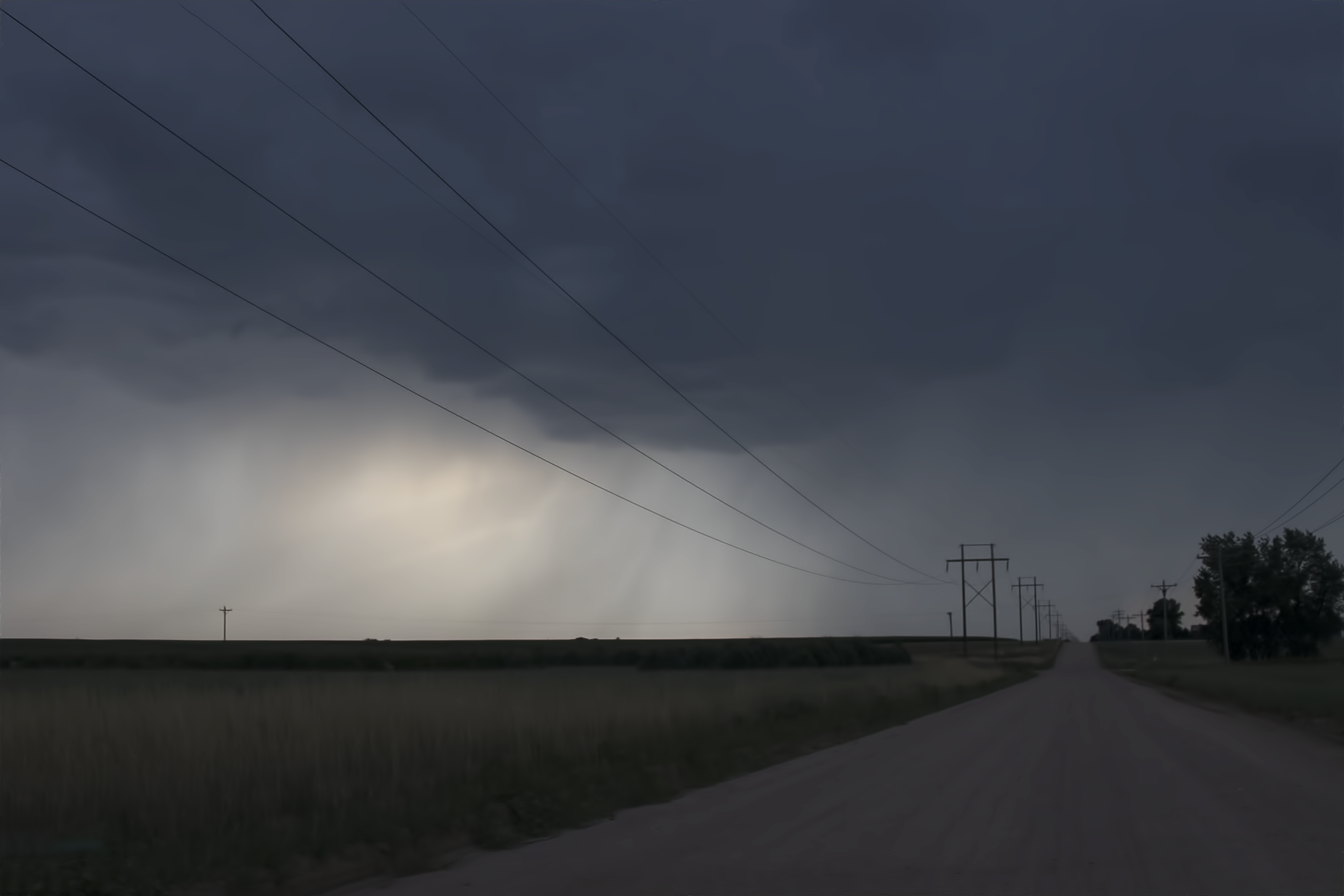
Morgan County (Colorado) Road U, between CR 7 and CR 8 - PLDL7829
weldcounty colorado nature landscape pole minimalism b6 rural pinnacle bbb multiple bbbb minimalistphotography minimaltop7 top40of2016 toplandscape2016 topminimalism minimalismtops theminimals onsmugmug b4 minimalistcorner mc fgmc clouds beholderjuly2017v2 beholderjuly2017v3 fgmp bfour structure vanishingpoint ractorbew simple county country theselect topselect bestclouds necolorado
Weld County (Colorado) Road 8, between WCR AA and WCR GG (40°24'56" N 103°59'39" W) - PLDL4987
circles aerial farms irrigation humor colorado lake pond frozen heart co orchard jacksonlakestatepark jacksonreservoir wing den center pivot centerpivot
Frigid Love
sky nature weather clouds rural landscapes colorado unitedstates country rustic homestead storms climate thunderstorms northeastcolorado jamesinsogna weldona
Country Air
light sky weather night clouds rural stars lights evening colorado country may astrophotography storms across rises thunderstorms milkyway coloradothunderstorms jamesinsogna
Wish Upon A Star
blue sky nature water night canon landscape dawn evening scenery colorado dusk scenic co jamesinsogna
The Blue Hour
Foggy Bottoms - Jackson State Park, Morgan County CO - September 2017
Grain silos from above
bijoucreek railroad railway bridge bridging bridgepix bridgepixing hdr photomatix wiggins colorado 200903 blue sky clouds landscape span 59x7 morgancounty interstate76 i76 ftmorgan fortmorgan
Bijou Creek Railroad Bridge
morgancounty colorado tree nature sun sunset dark b4 b5 b6 silhouettte awaitingsmugmug fbgbsus b7 rural silhouette county country allof2017 necolorado
Morgan County (Colorado) Road 2, SW of Jackson Reservoir (40°20'31" N 104°6'45" W) - PLDL2158
colorado co countysigns weldcounty galeton landscapes statesigns greatplains northamerica unitedstates us
Entering Weld County (Weld County, Colorado)
morgancounty colorado nature landscape clouds sun yellow notliketheothers rural country morganco county necolorado
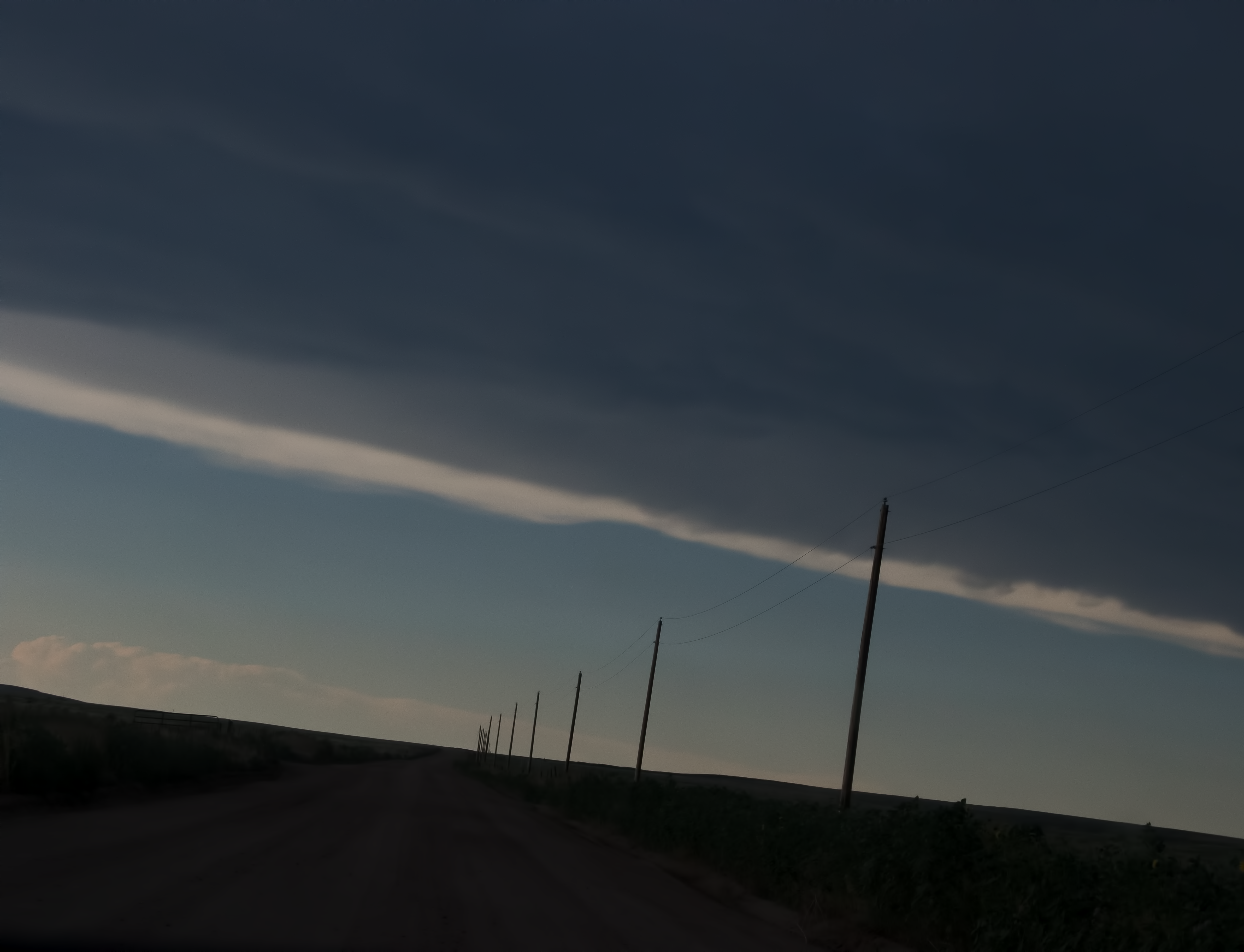
Morgan County (Colorado) Road O, between MCR 8 and MCR 10, WSW of Fort Morgan, 40°13'58" N 103°59'44" W - PLDL9976-Edit