Elevation of Co Rd 39, Huntington, AR, USA
Location: United States > Arkansas > Sebastian County > Prairie Township >
Longitude: -94.264448
Latitude: 35.137358
Elevation: 214m / 702feet
Barometric Pressure: 99KPa
Elevation Map:
Satellite Map:
Related Photos:
Jesus sacrificed himself to himself to save the world from … himself?
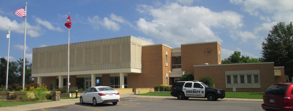
Sebastian County Courthouse (Greenwood, Arkansas)
View From the Balcony at My Soon to be New Home
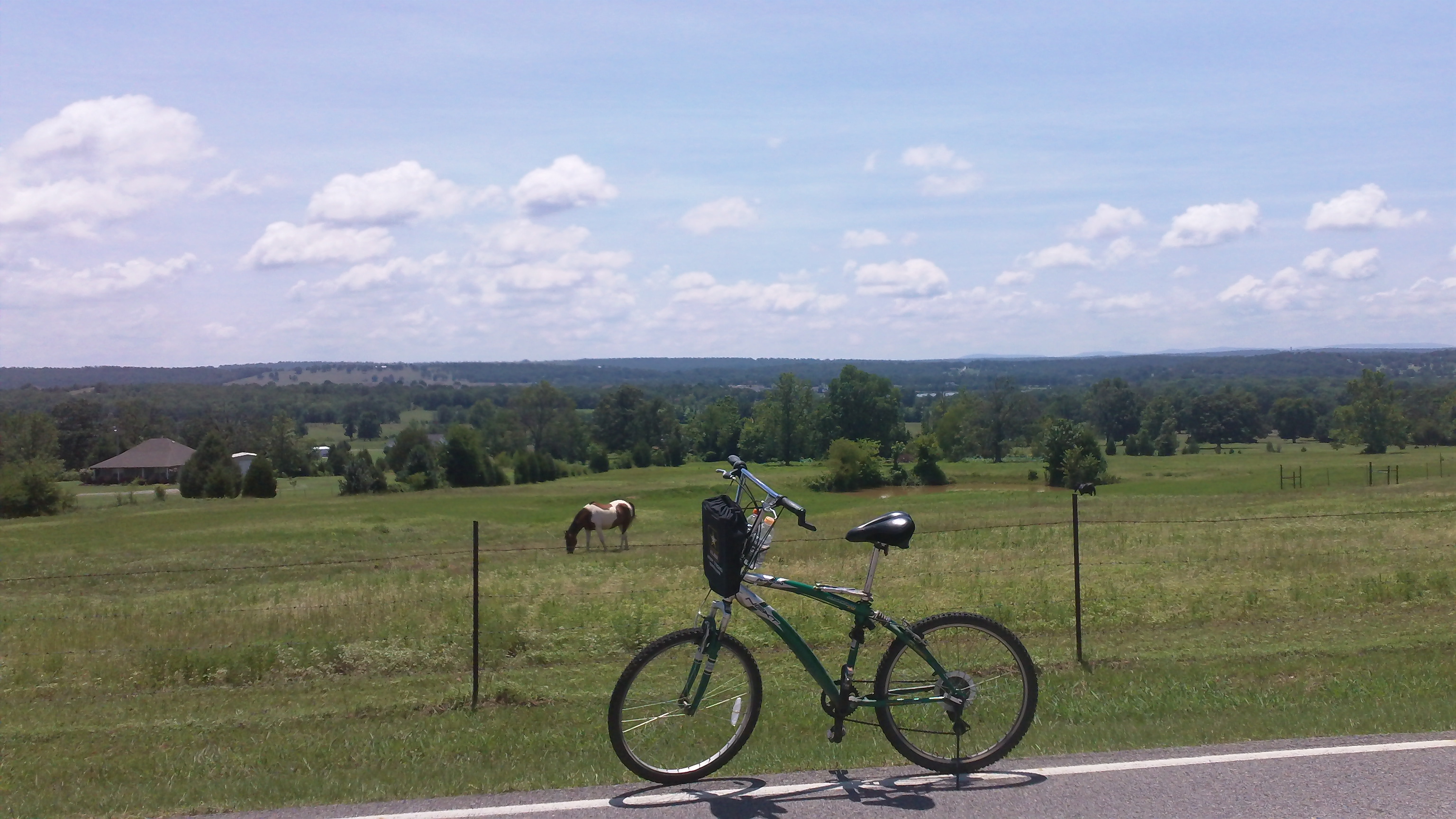
cycling with horses
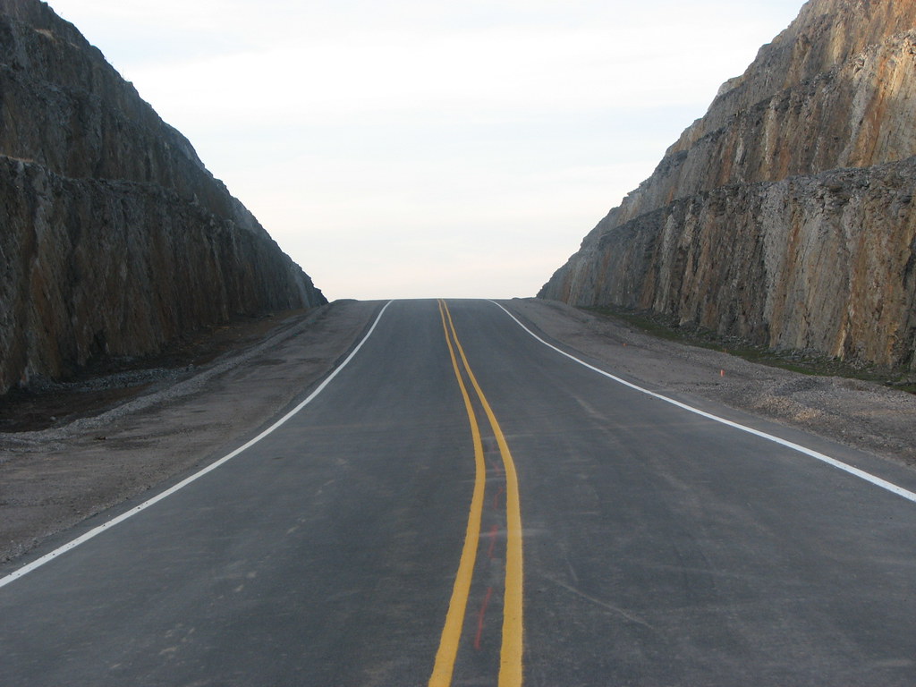
New 45 Northbound

{tagged in a new way} Part of me becoming a better person is letting go of my black and white world view and embracing shades of grey
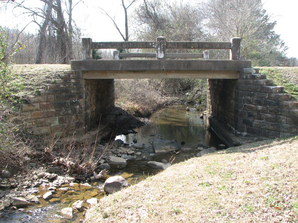
Bear Creek-Side View

Cotton Candy Sky

Overnight rain
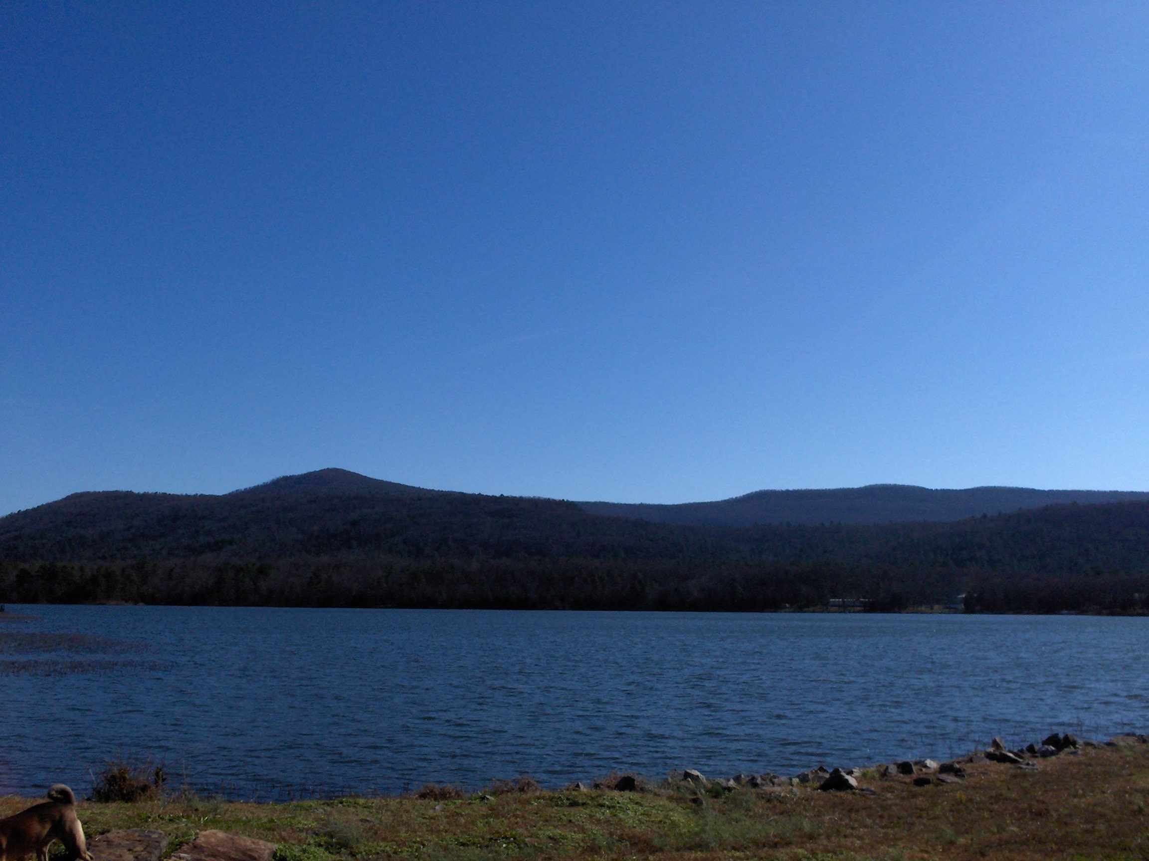
More Mountain
Kenny's Creek
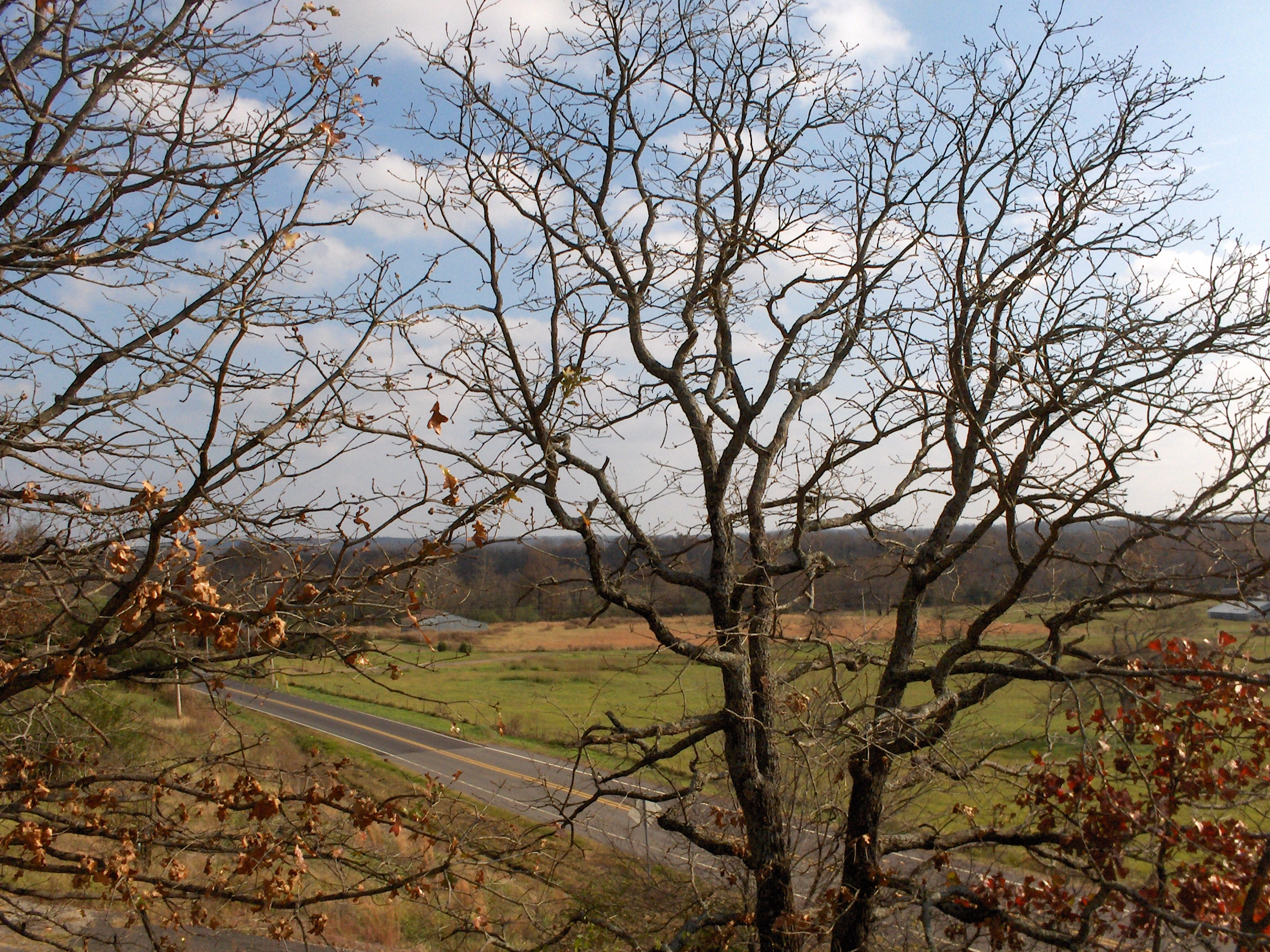
Across the Road
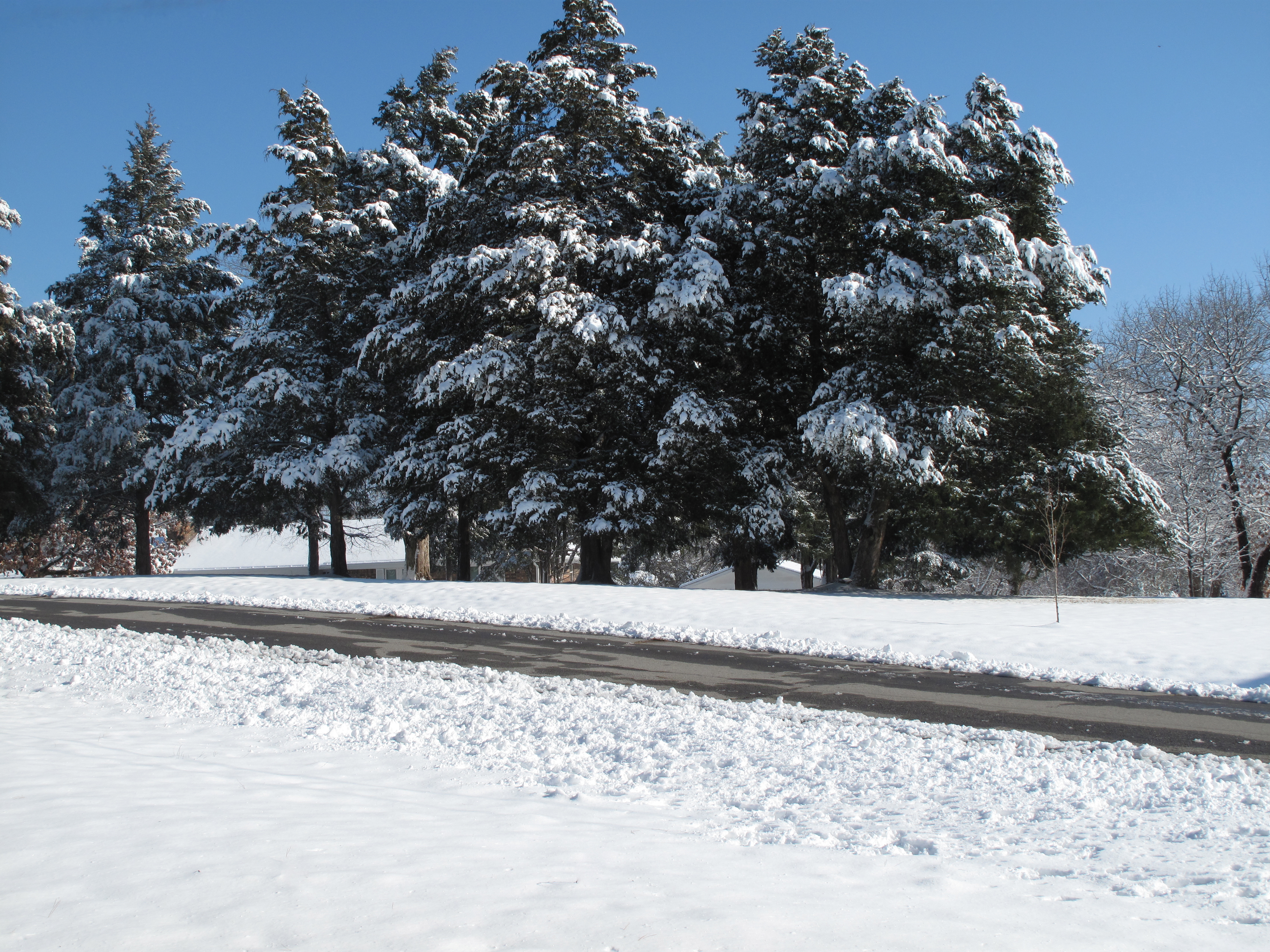
Snow Land
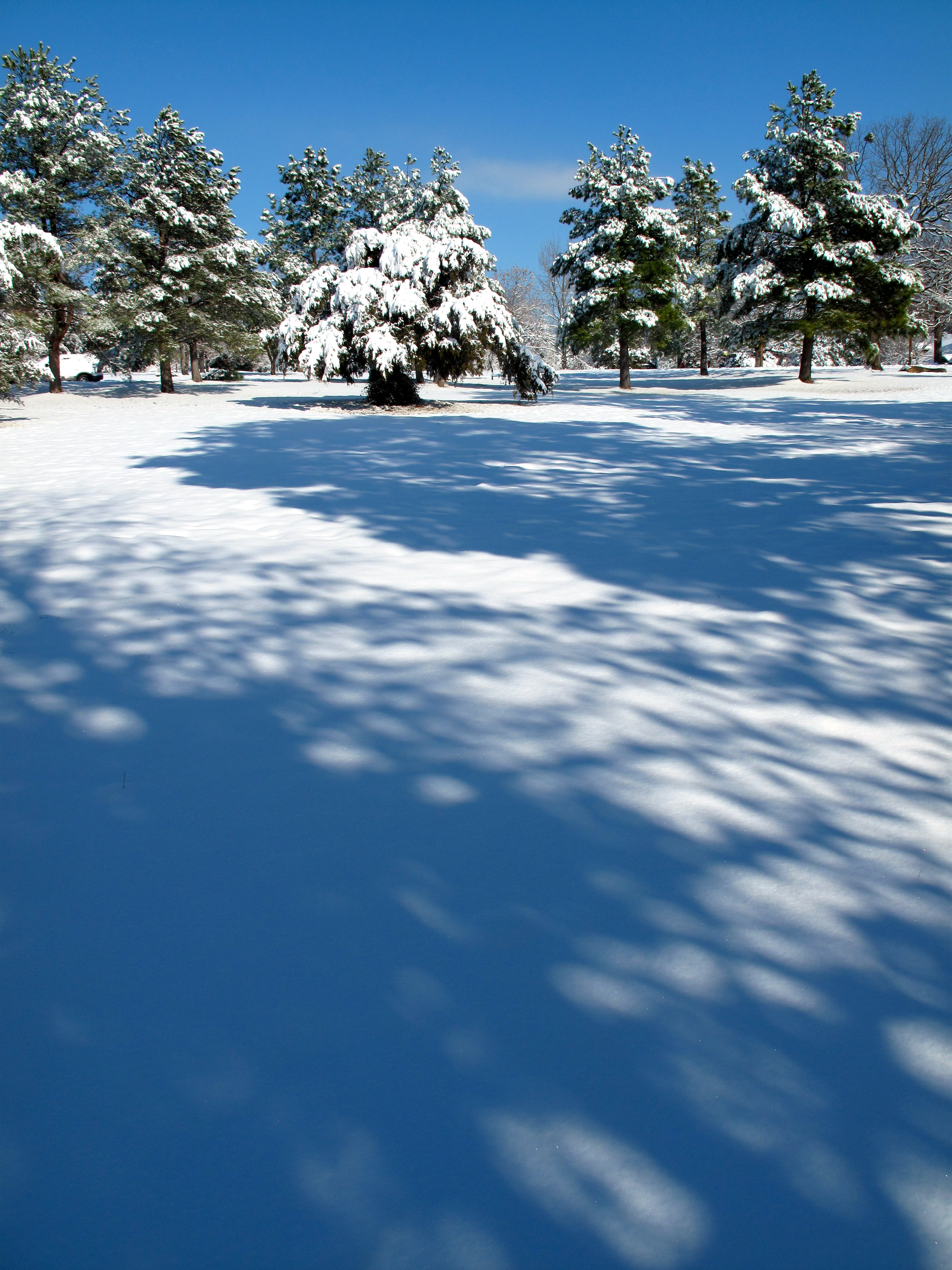
Snow Land 2
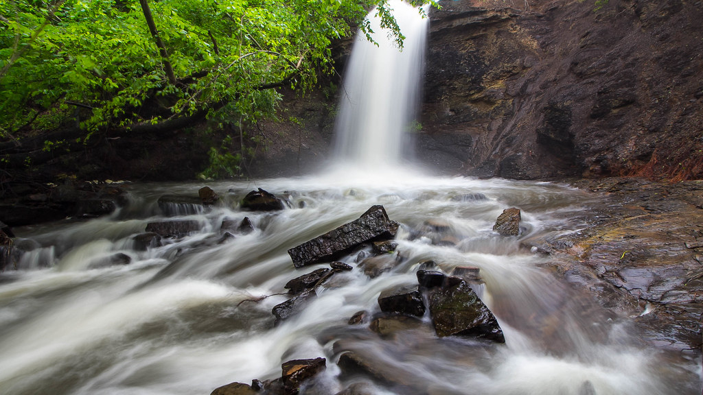
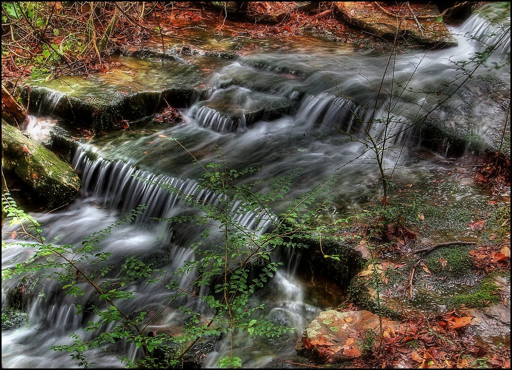
The falls at Sugar Loaf Lake
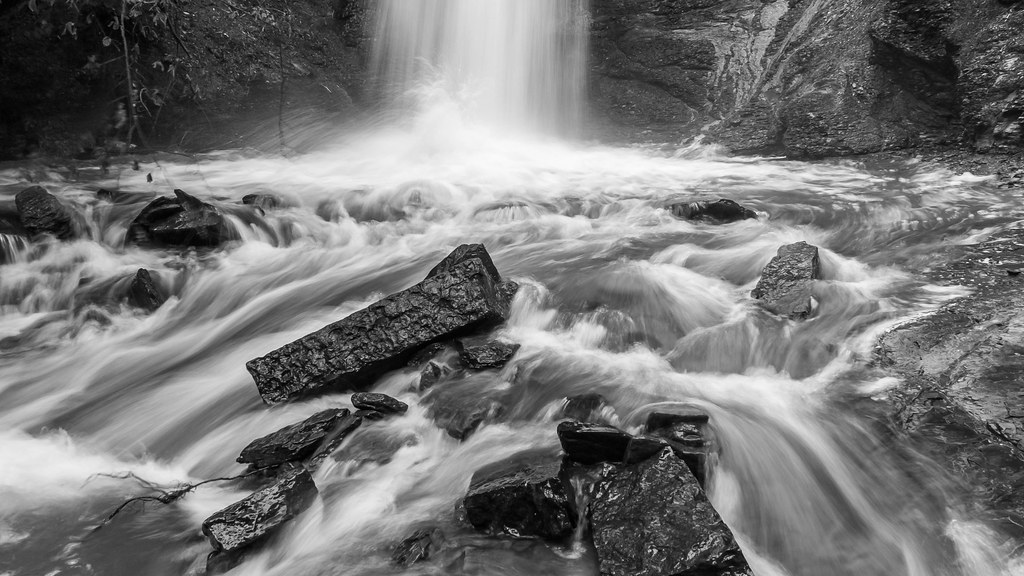
Action at the bottom of the falls

Falls at Sugar Loaf Lake
Topographic Map of Co Rd 39, Huntington, AR, USA
Find elevation by address:

Places near Co Rd 39, Huntington, AR, USA:
Prairie Township
East Clarks Chapel Road
Diamond Township
Huntington
Old Arko Rd, Huntington, AR, USA
Mansfield
Jim Fork Township
Jefferson Ave, Midland, AR, USA
Midland
Mississippi Township
Hartford Township
Hartford
5525 Slaytonville Rd
Slaytonville
W Hartford Rd, Hartford, AR, USA
Oliver Township
18223 Maple Rd
Boyd St, Howe, OK, USA
Blansett
Ford Place
Recent Searches:
- Elevation of W Granada St, Tampa, FL, USA
- Elevation of Pykes Down, Ivybridge PL21 0BY, UK
- Elevation of Jalan Senandin, Lutong, Miri, Sarawak, Malaysia
- Elevation of Bilohirs'k
- Elevation of 30 Oak Lawn Dr, Barkhamsted, CT, USA
- Elevation of Luther Road, Luther Rd, Auburn, CA, USA
- Elevation of Unnamed Road, Respublika Severnaya Osetiya — Alaniya, Russia
- Elevation of Verkhny Fiagdon, North Ossetia–Alania Republic, Russia
- Elevation of F. Viola Hiway, San Rafael, Bulacan, Philippines
- Elevation of Herbage Dr, Gulfport, MS, USA