Elevation of Co Rd 2, Shorter, AL, USA
Location: United States > Alabama > Macon County > Shorter >
Longitude: -85.937557
Latitude: 32.3484822
Elevation: 86m / 282feet
Barometric Pressure: 100KPa
Elevation Map:
Satellite Map:
Related Photos:

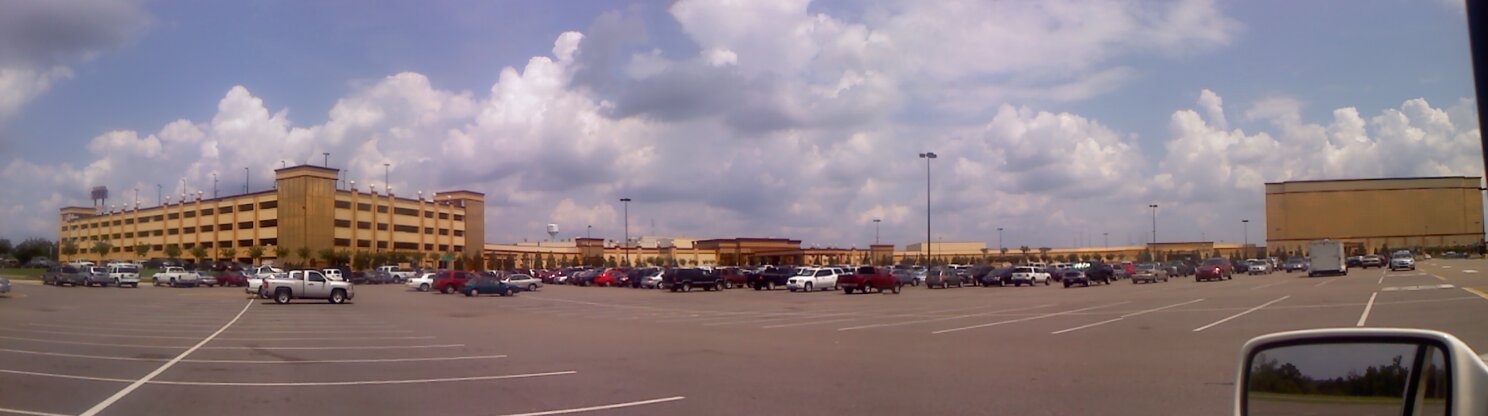
Victoryland Pano-View

Panoramic View
Panoramic View

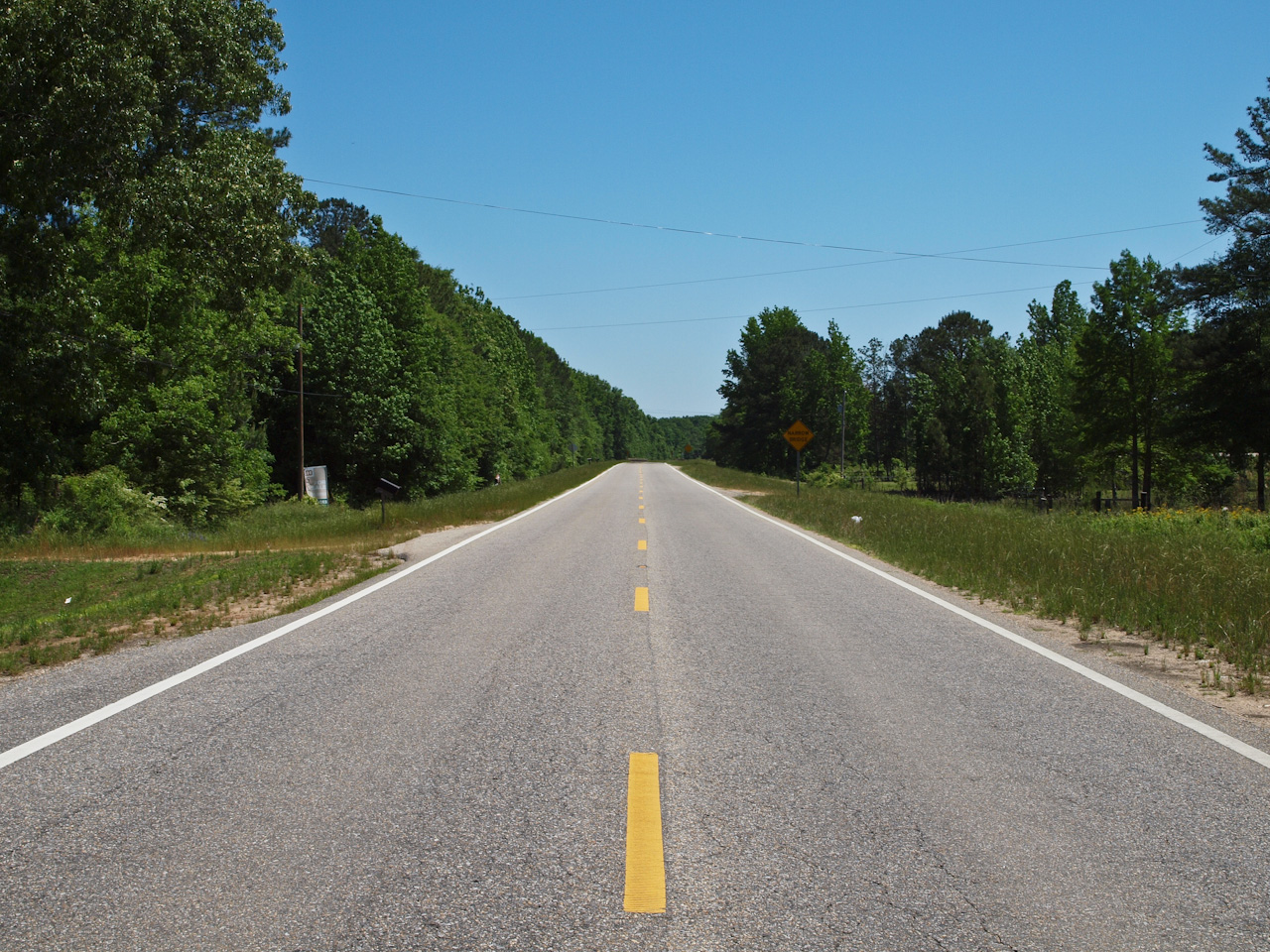
Dusty Road and Rails

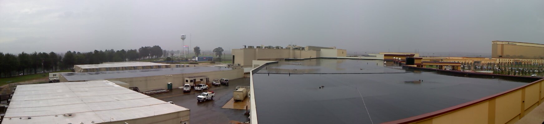
Victoryland Pano-View

Panoramic View
Victoryland Pano-View
U.S. Route 80
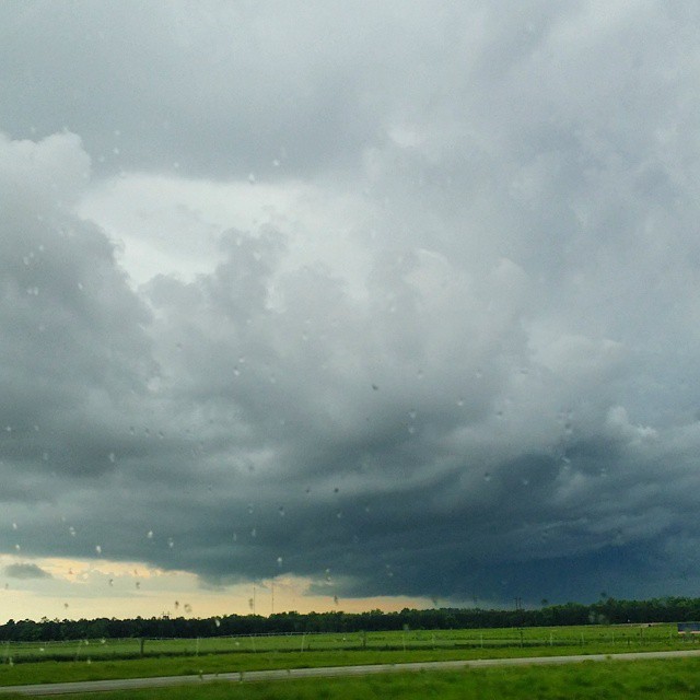
Definitely #scary looking #CloudFormations here in #Alabama #alwx
Topographic Map of Co Rd 2, Shorter, AL, USA
Find elevation by address:

Places near Co Rd 2, Shorter, AL, USA:
Shorter
Old Federal Rd, Shorter, AL, USA
8660 Co Rd 30
4725 Co Rd 40
77 Eastwood Villa Blvd, Montgomery, AL, USA
9821 Red Maple Ln
Elgin Drive
1009 Mack Taylor Rd
545 Hamp Simmons Rd
Wares Ferry Rd, Montgomery, AL, USA
Wall St, Tallassee, AL, USA
8385 Ryan Rd
Friendship Rd, Tallassee, AL, USA
Tallassee
Washington Blvd, Tallassee, AL, USA
Notasulga Rd, Tallassee, AL, USA
538 Seminole Dr
600 Silver Moon Ct
7306 Anna Rose Dr
561 Stonegate Trail
Recent Searches:
- Elevation of Thorpe Cir, Thousand Oaks, CA, USA
- Elevation of Eldorado do Sul - RS, Brazil
- Elevation of Eldorado do Sul - Parque Eldorado, Eldorado do Sul - RS, -, Brazil
- Elevation of 35 Governors Ln, Hilton Head Island, SC, USA
- Elevation of Orangevale, CA, USA
- Elevation of Doe Cir, Clinton, OH, USA
- Elevation of Narhe, Pune, Maharashtra, India
- Elevation of Martins Mill Ct, Eagle Rock, NC, USA
- Elevation of Kippen, Stirling FK8, UK
- Elevation of Sieveringer Straße, Sieveringer Str., Wien, Austria