Elevation of Co Rd 14, Del Norte, CO, USA
Location: United States > Colorado > Del Norte >
Longitude: -106.47648
Latitude: 37.569182
Elevation: 2685m / 8809feet
Barometric Pressure: 73KPa
Elevation Map:
Satellite Map:
Related Photos:
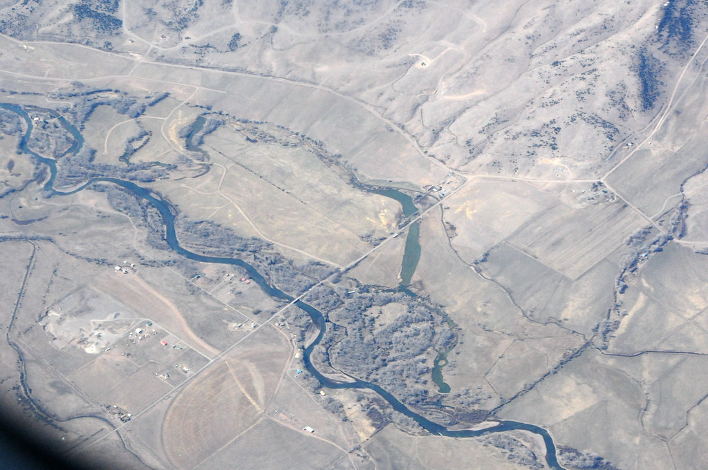
Aerial view from plane

Sun and rain
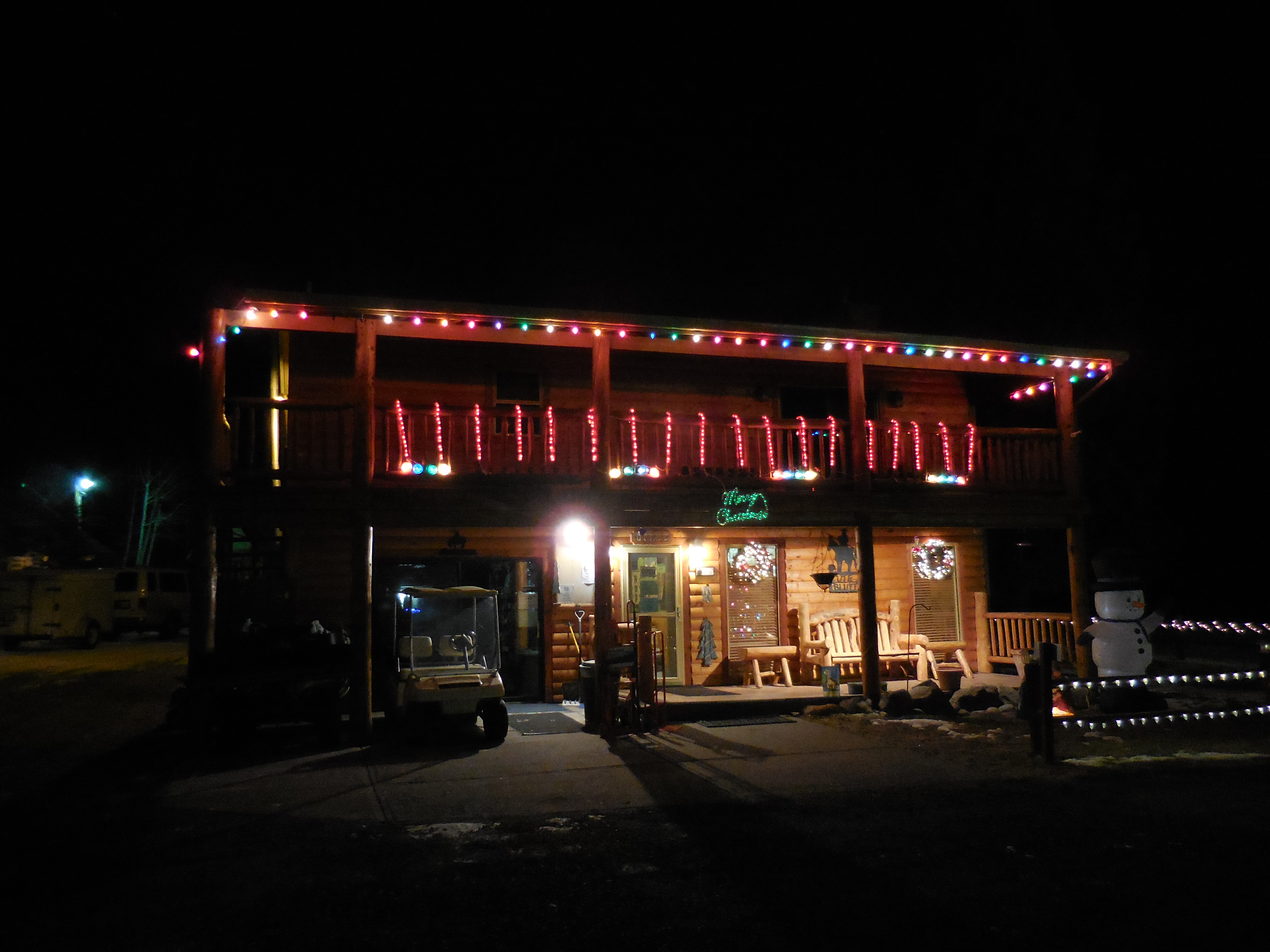
Ute Bluff Lodge in South Fork, Colorado

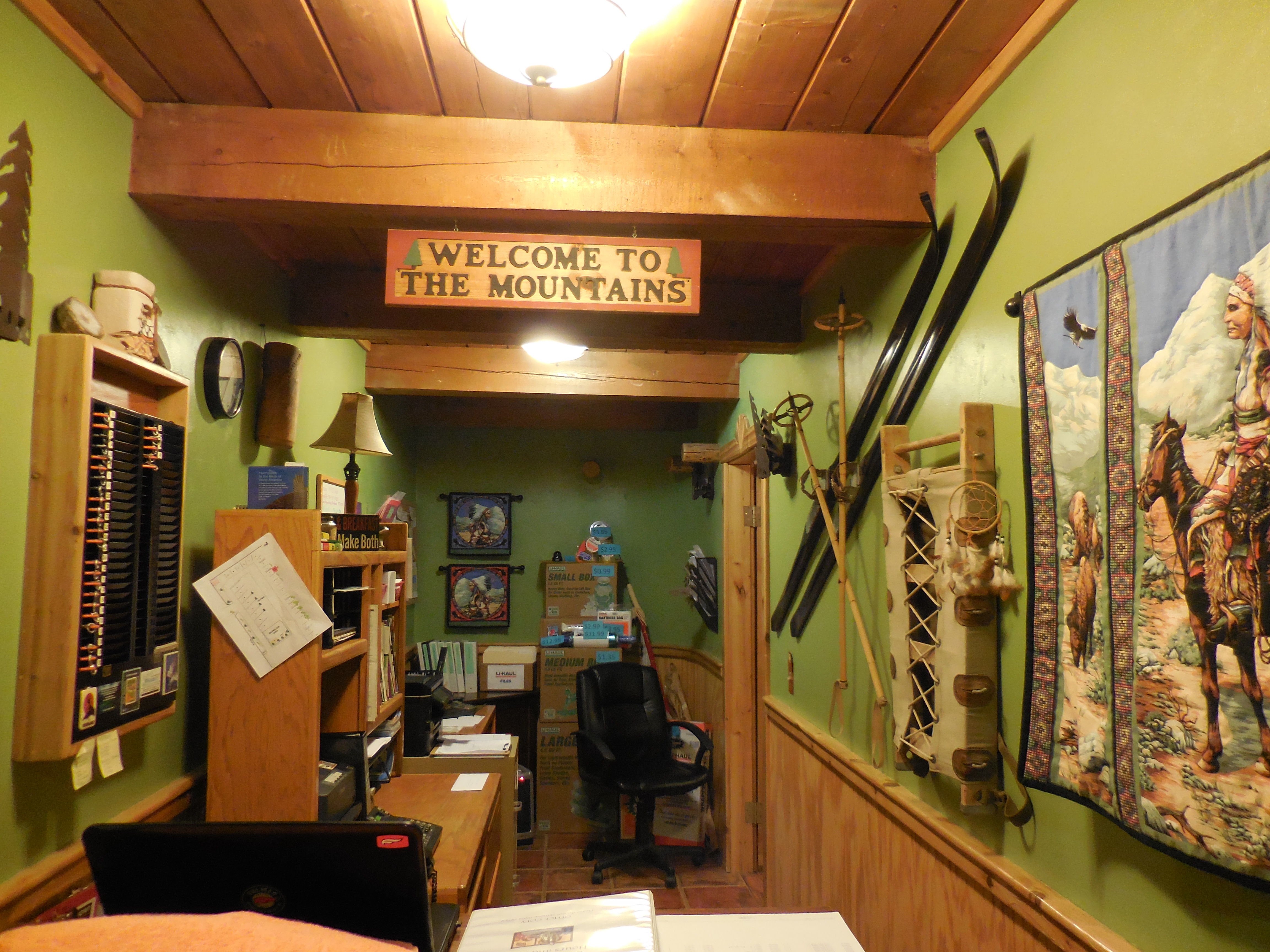
Ute Bluff Lodge

Colorado view
Ute Bluff Lodge in South Fork, Colorado
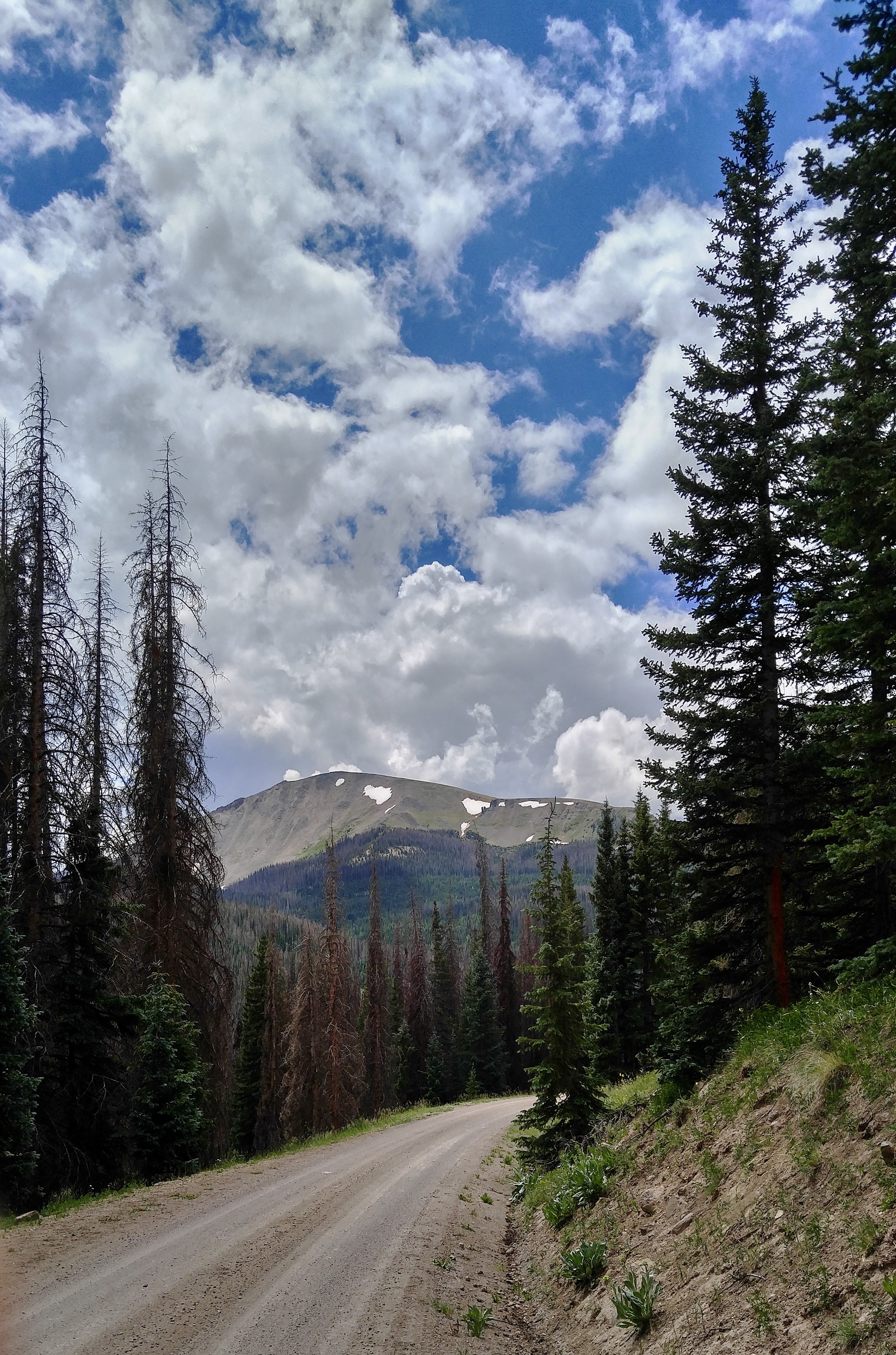
North Mountain clouds
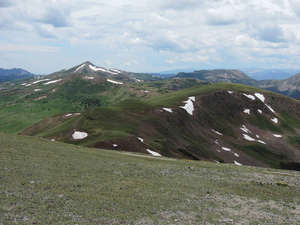
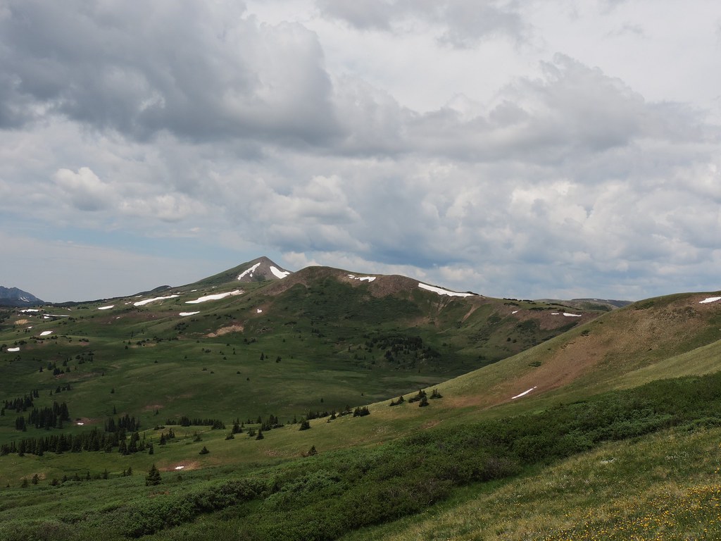
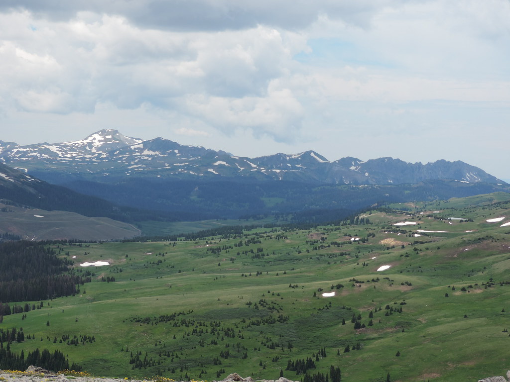
North Mountain vista
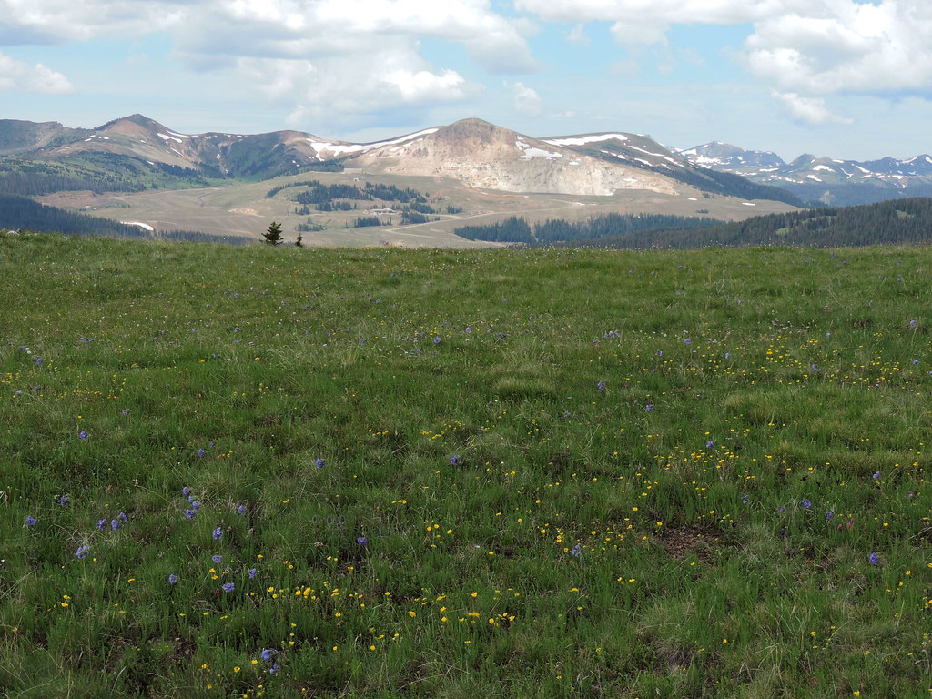
Summitville flowers
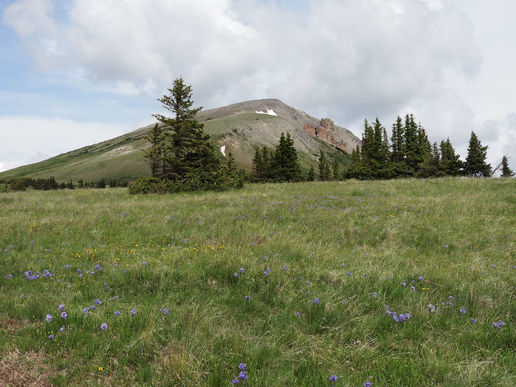
Grayback mountain
North Mountain
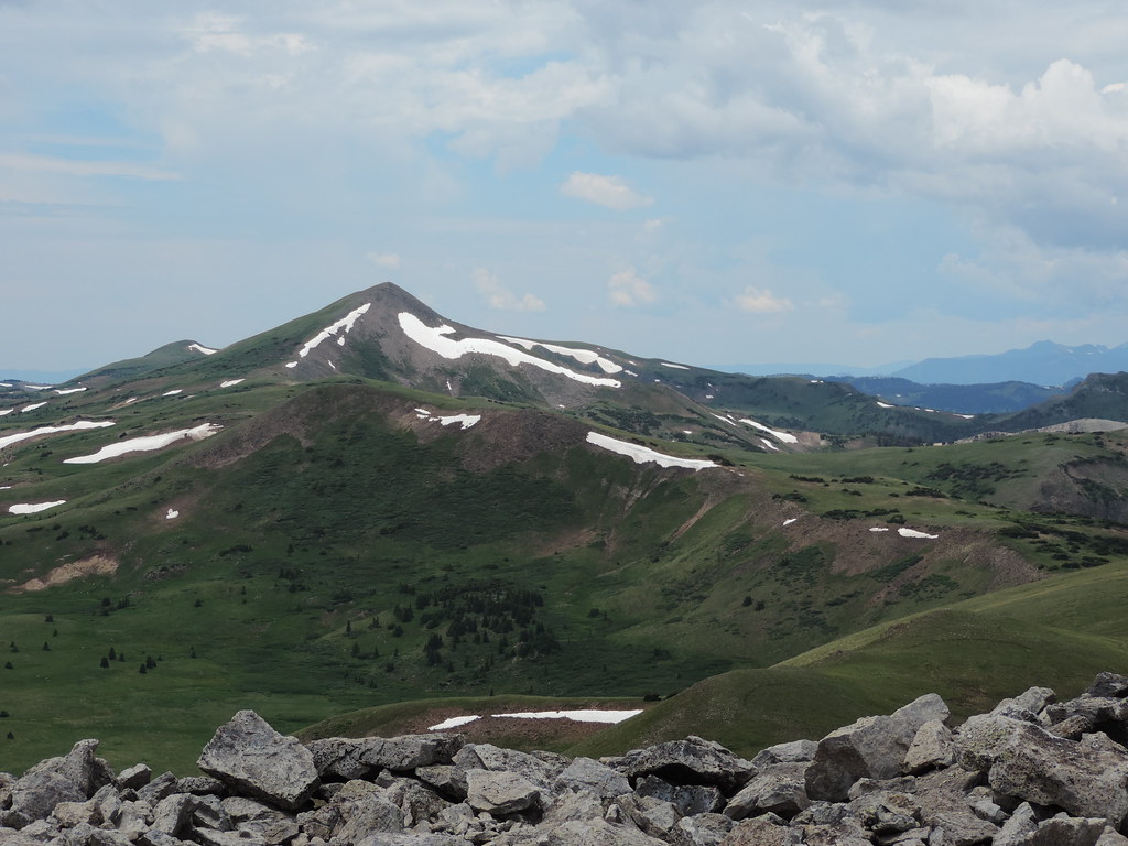
Distant Montezuma peak
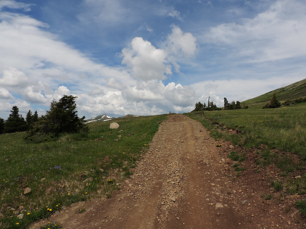
The road we hiked
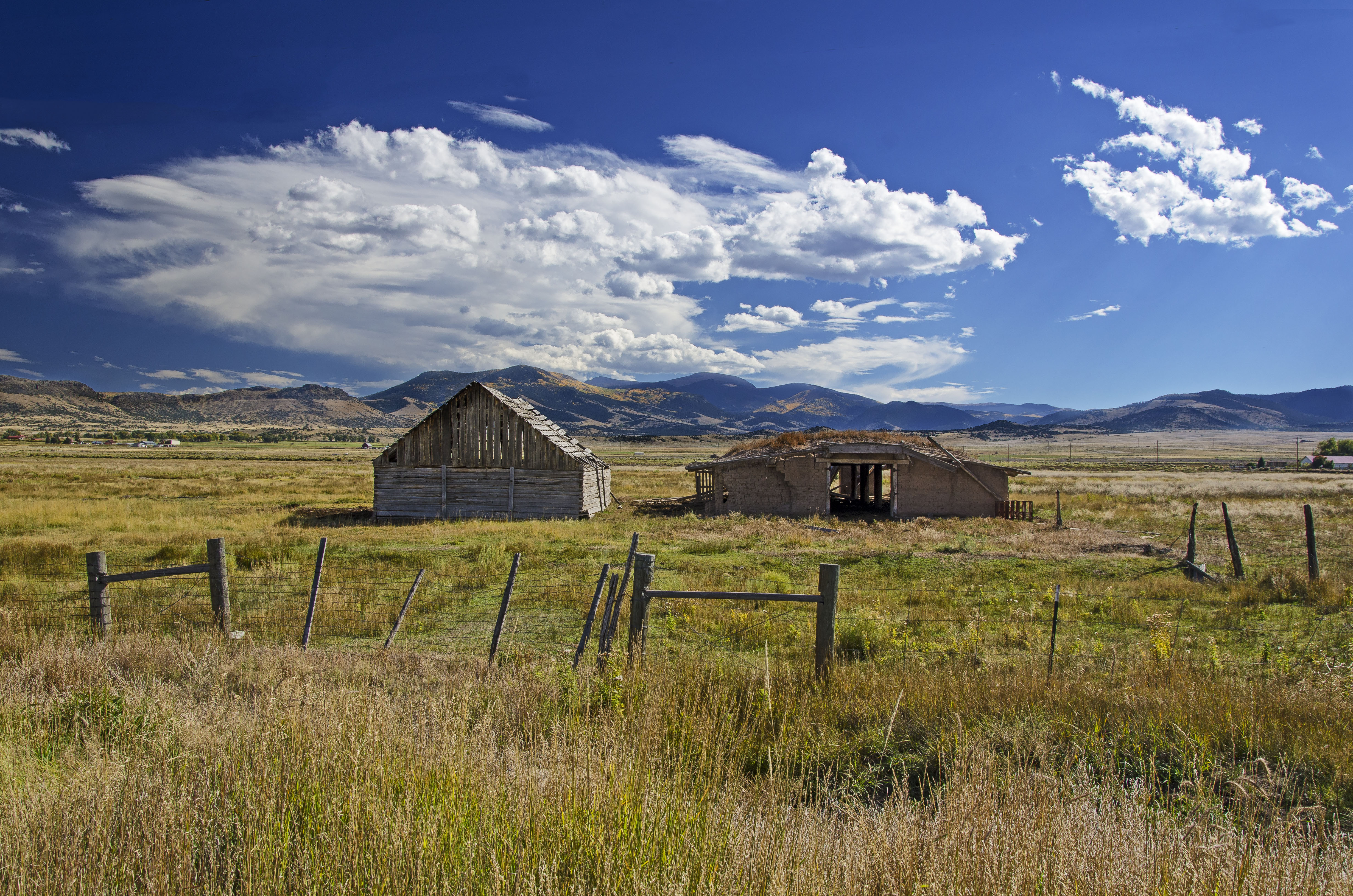
Old and Older
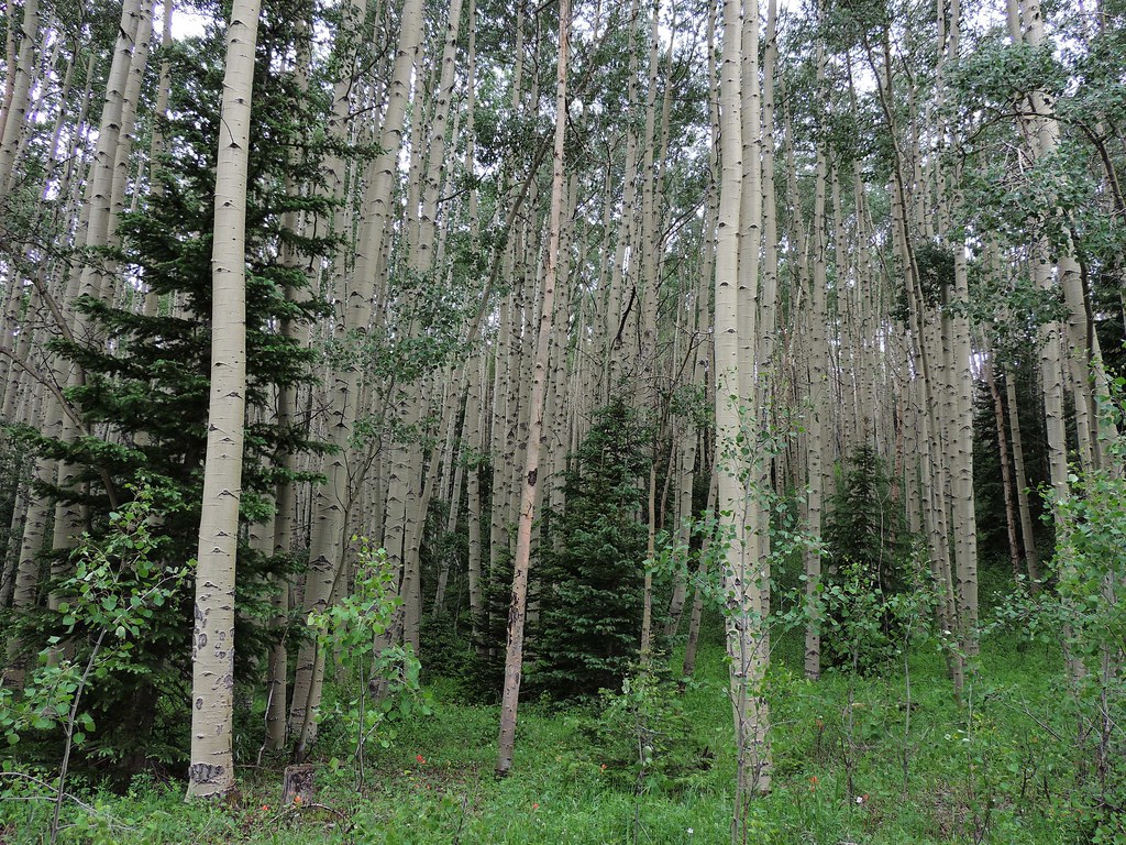
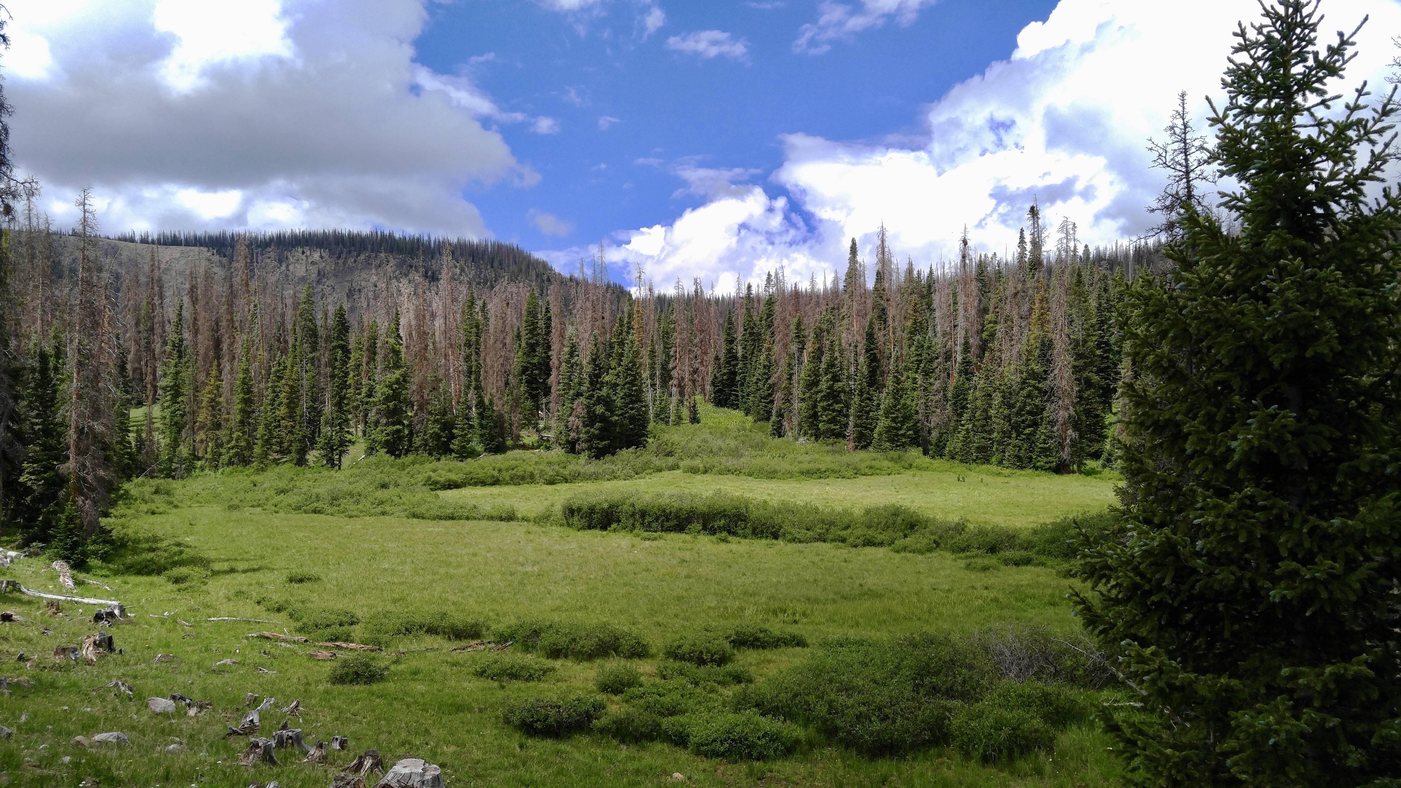
Aspen thicket

Parallel Lives
Beaver Creek Rd., upper section

San Juan Hands
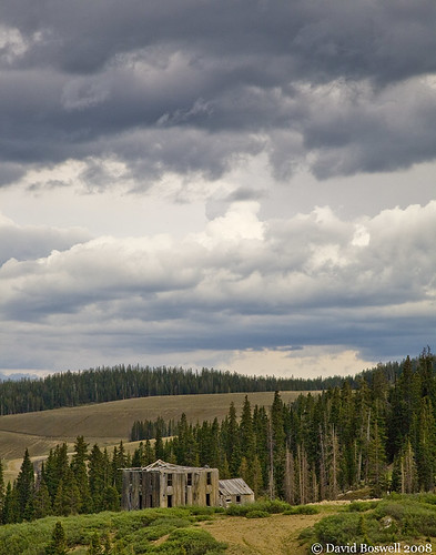
A Bygone Era
Beaver Creek Rd., upper section
Passage of Time
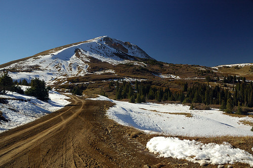
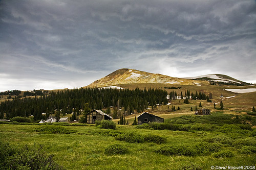
Grayback Mountain
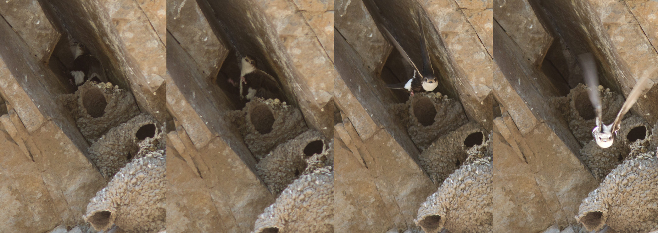
wtsw-nest-delnorte-6-21-11-tl-comp-lowres
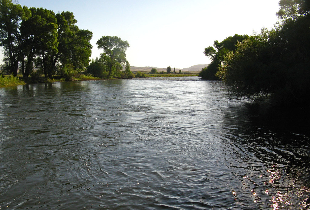
Rio Grande: West of Del Norte, Colorado (CO)
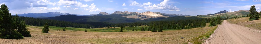
Indiana Pass Pano402-407
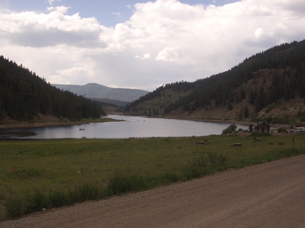
Beaver Creek Reservoir
Topographic Map of Co Rd 14, Del Norte, CO, USA
Find elevation by address:

Places near Co Rd 14, Del Norte, CO, USA:
Castle Rock Road
1528 Yund Dr
959 Yund Dr
20422 Co Rd 14
20422 Co Rd 14
20422 Co Rd 14
Rio Grande County
Horseshoe Mountain
Co Rd 13, Del Norte, CO, USA
Pinon Valley Road
Pintada Mountain
142 Antelope Trail
250 Antelope Trail
Windy Mountain
Dog Mountain
983 Rimrock Cir
Rock Creek Campground
Lion Point
Rock Creek Park
Green Ridge
Recent Searches:
- Elevation of Luther Road, Luther Rd, Auburn, CA, USA
- Elevation of Unnamed Road, Respublika Severnaya Osetiya — Alaniya, Russia
- Elevation of Verkhny Fiagdon, North Ossetia–Alania Republic, Russia
- Elevation of F. Viola Hiway, San Rafael, Bulacan, Philippines
- Elevation of Herbage Dr, Gulfport, MS, USA
- Elevation of Lilac Cir, Haldimand, ON N3W 2G9, Canada
- Elevation of Harrod Branch Road, Harrod Branch Rd, Kentucky, USA
- Elevation of Wyndham Grand Barbados Sam Lords Castle All Inclusive Resort, End of Belair Road, Long Bay, Bridgetown Barbados
- Elevation of Iga Trl, Maggie Valley, NC, USA
- Elevation of N Co Rd 31D, Loveland, CO, USA