Elevation of CO-, Olathe, CO, USA
Location: United States > Colorado > Montrose County > Olathe >
Longitude: -108.05606
Latitude: 38.605322
Elevation: 1661m / 5449feet
Barometric Pressure: 83KPa
Elevation Map:
Satellite Map:
Related Photos:
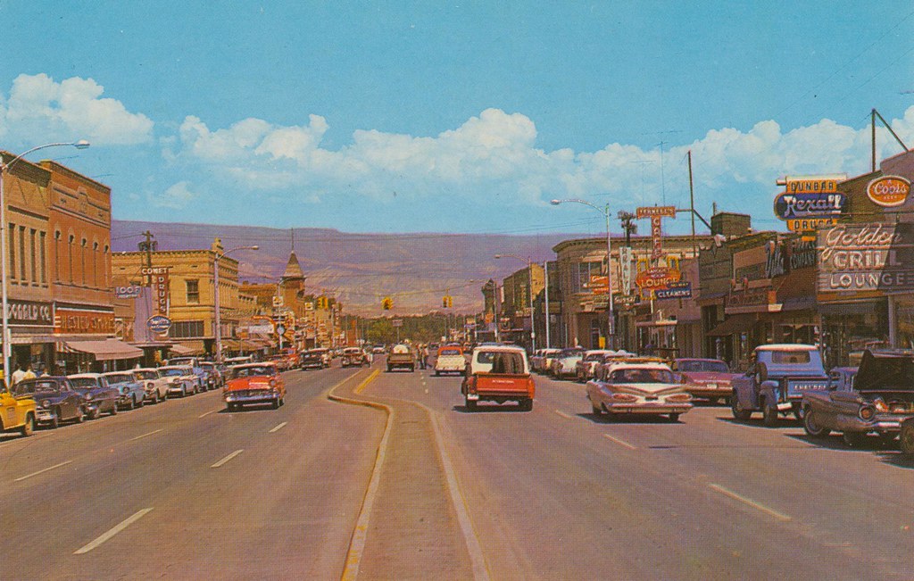
Business Section - Delta, Colorado

2012-02-05_UP_94 Union Pacific freight at junction of main track

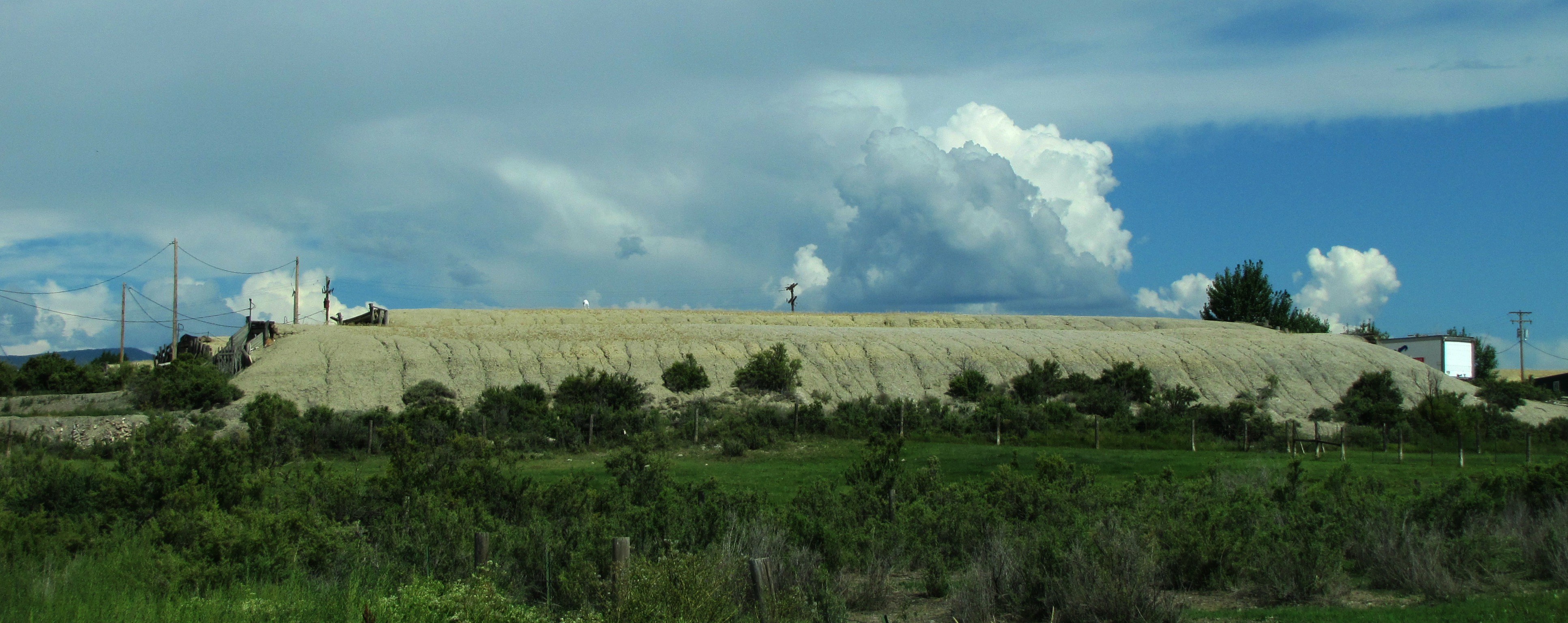
Forty miles north, 5,000 feet up

Coffee and a cigarette

Like a toothless grin
Underground Uncompahgre #22

First Methodist Episcopal Church of Delta

Young's Mountain View Orchard & Winery
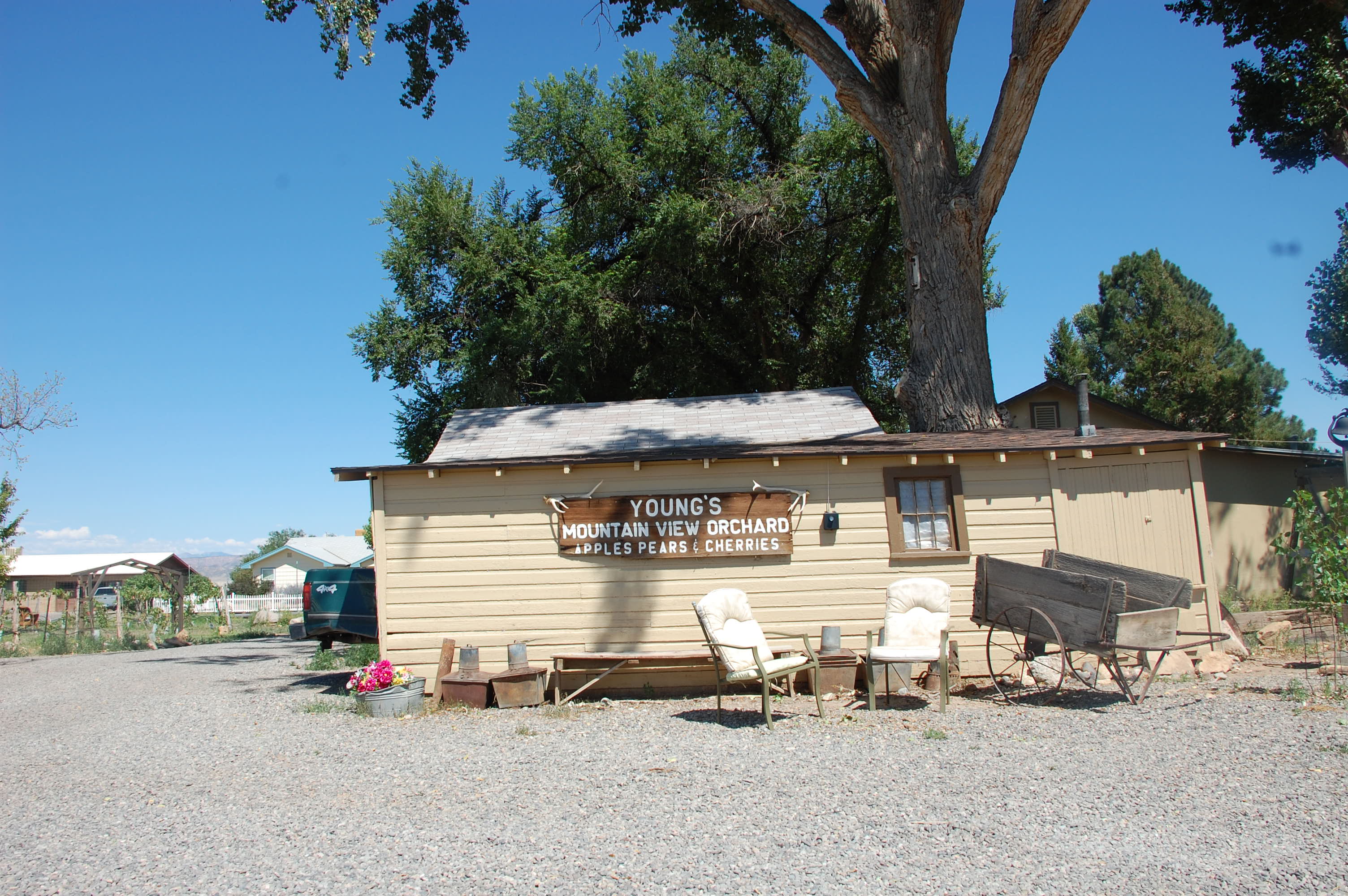
Young's Mountain View Orchard & Winery

Young's Mountain View Orchard & Winery

Delta, Colorado

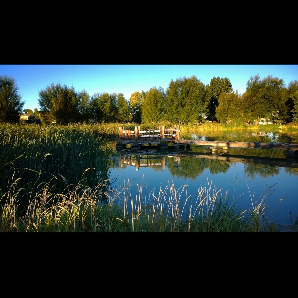
Evening Clouds

6tag_290913-093329
6tag_290913-093329

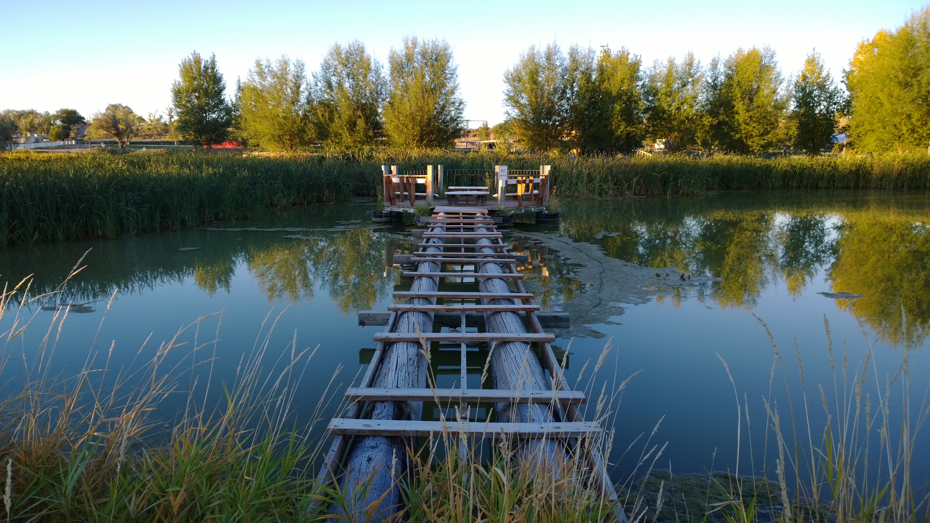
WP_20130929_07_36_54_Pro.jpg
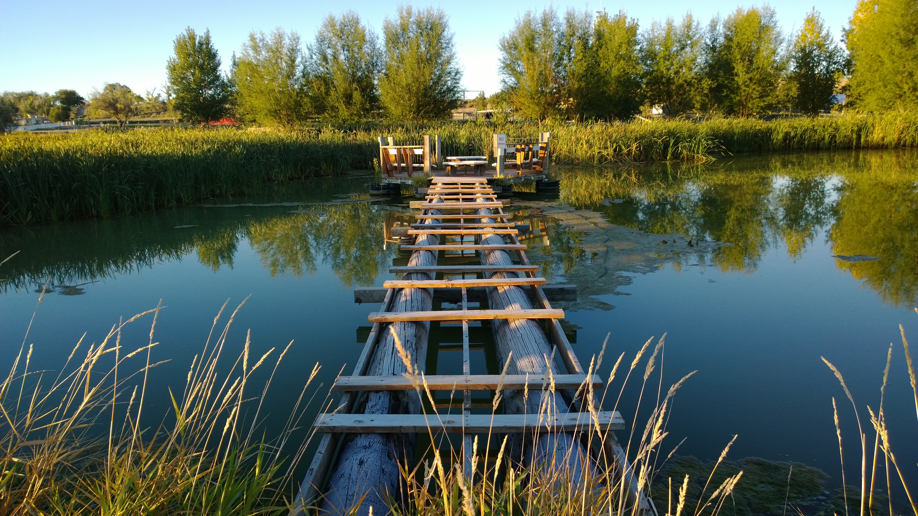
WP_20130929_07_36_54_Pro.jpg
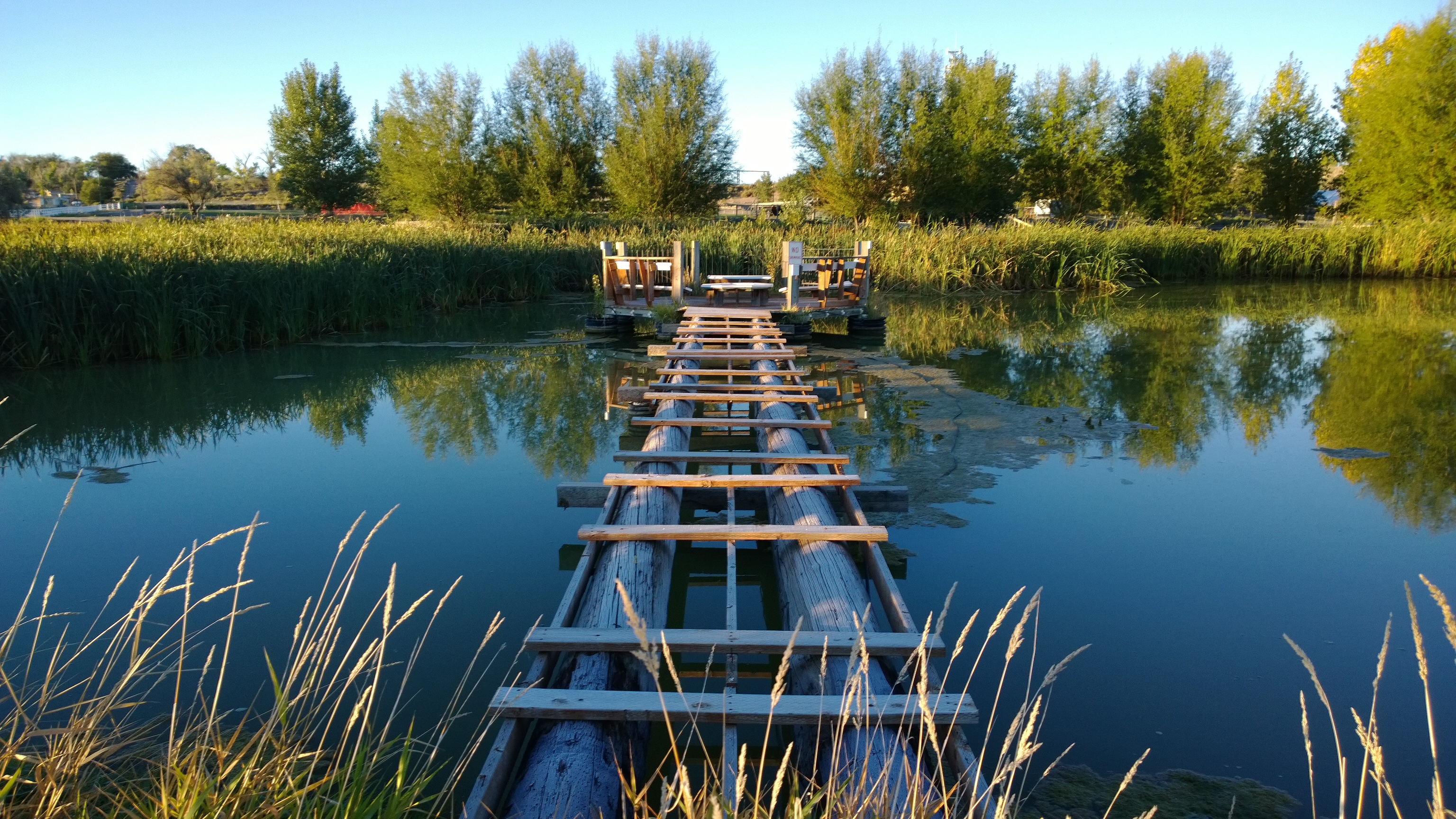
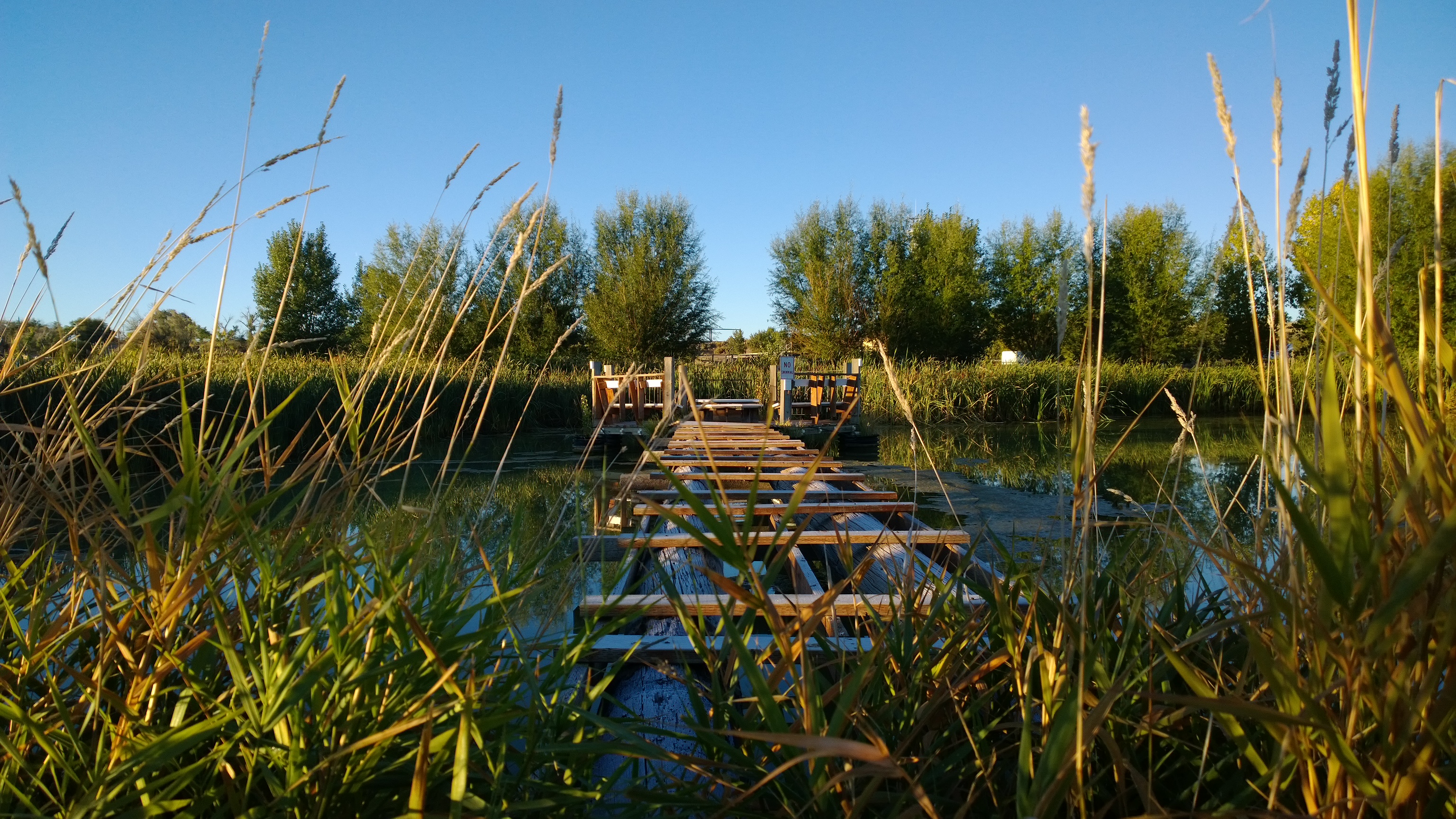
WP_20130929_07_36_12_Pro.jpg
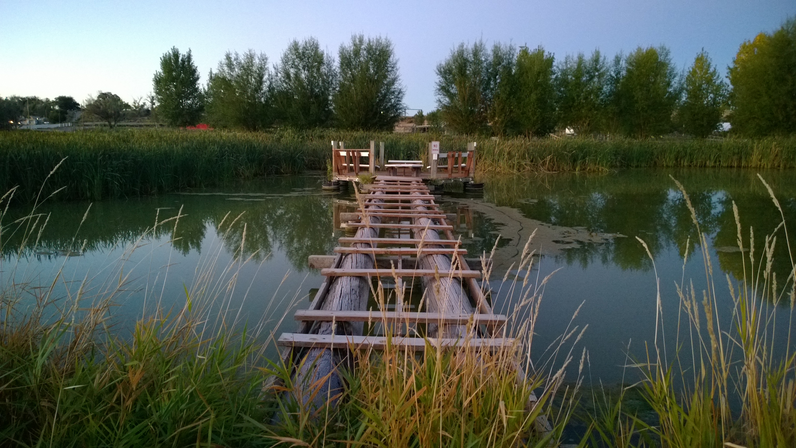
WP_20130929_07_34_30_Pro.jpg

WP_20130929_07_34_30_Pro.jpg

WP_20130929_07_36_12_Pro.jpg
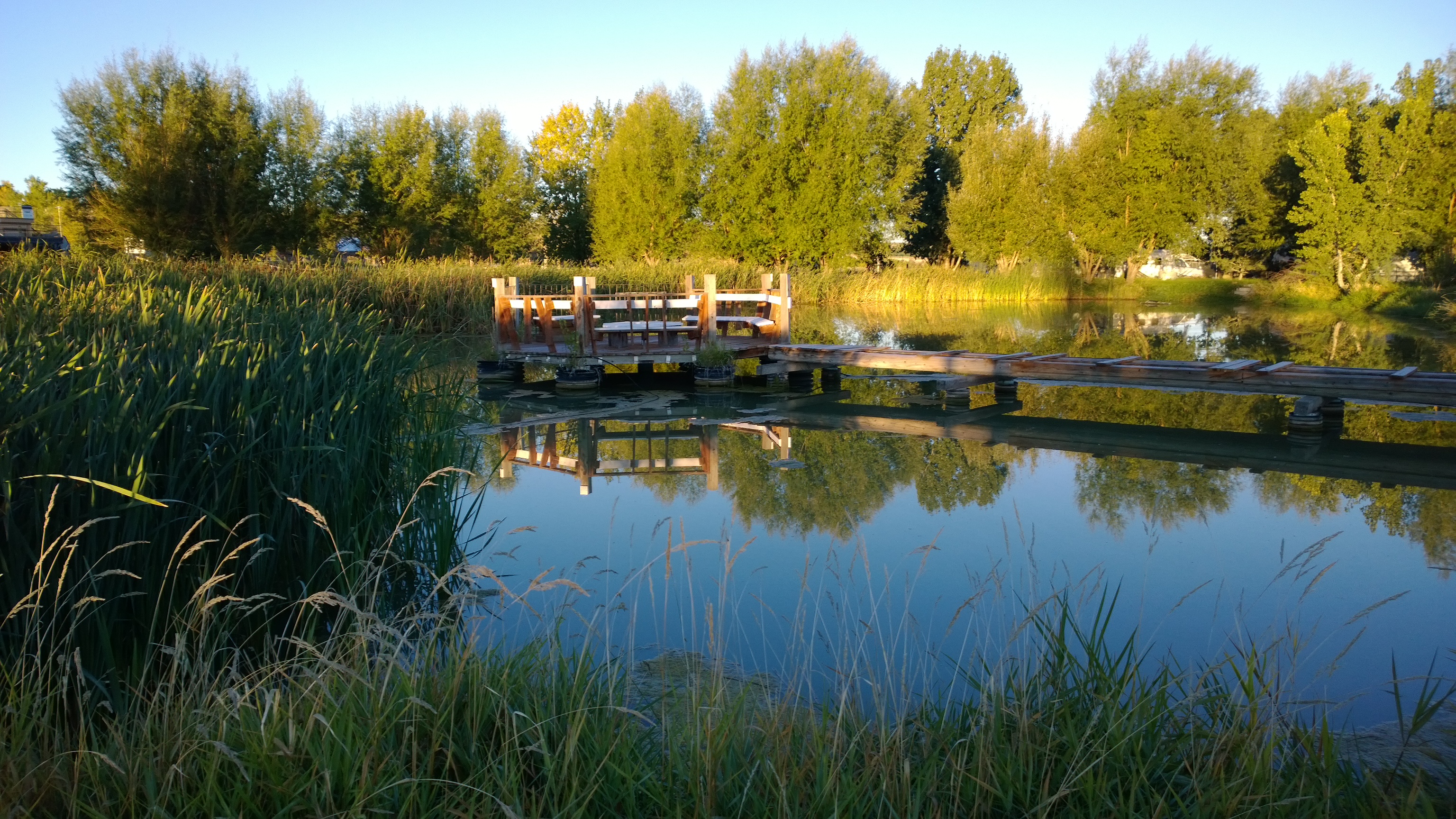
WP_20130929_07_33_29_Pro.jpg
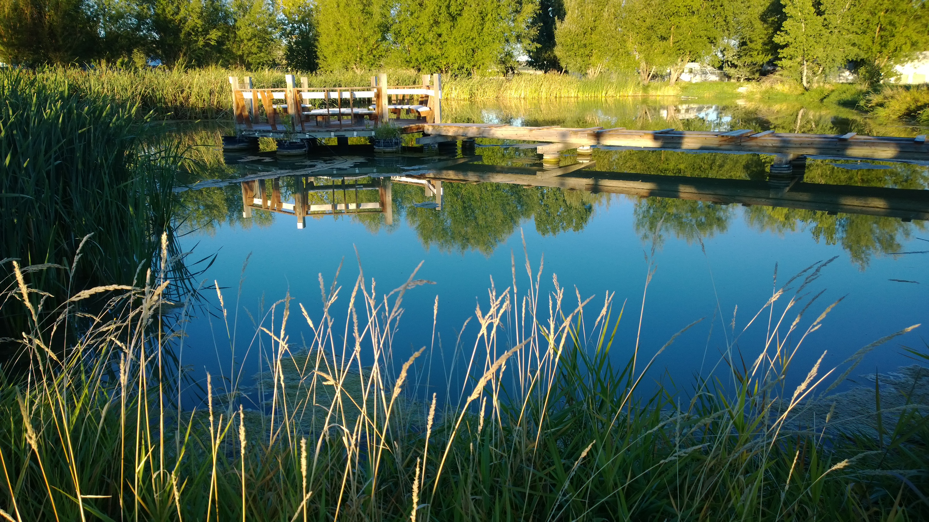
WP_20130929_07_28_04_Pro.jpg

WP_20130929_07_28_04_Pro.jpg
WP_20130929_07_37_56_Pro.jpg
WP_20130929_06_45_00_Pro.jpg

WP_20130929_07_33_29_Pro.jpg

WP_20130929_07_37_56_Pro.jpg

WP_20130929_06_45_00_Pro.jpg

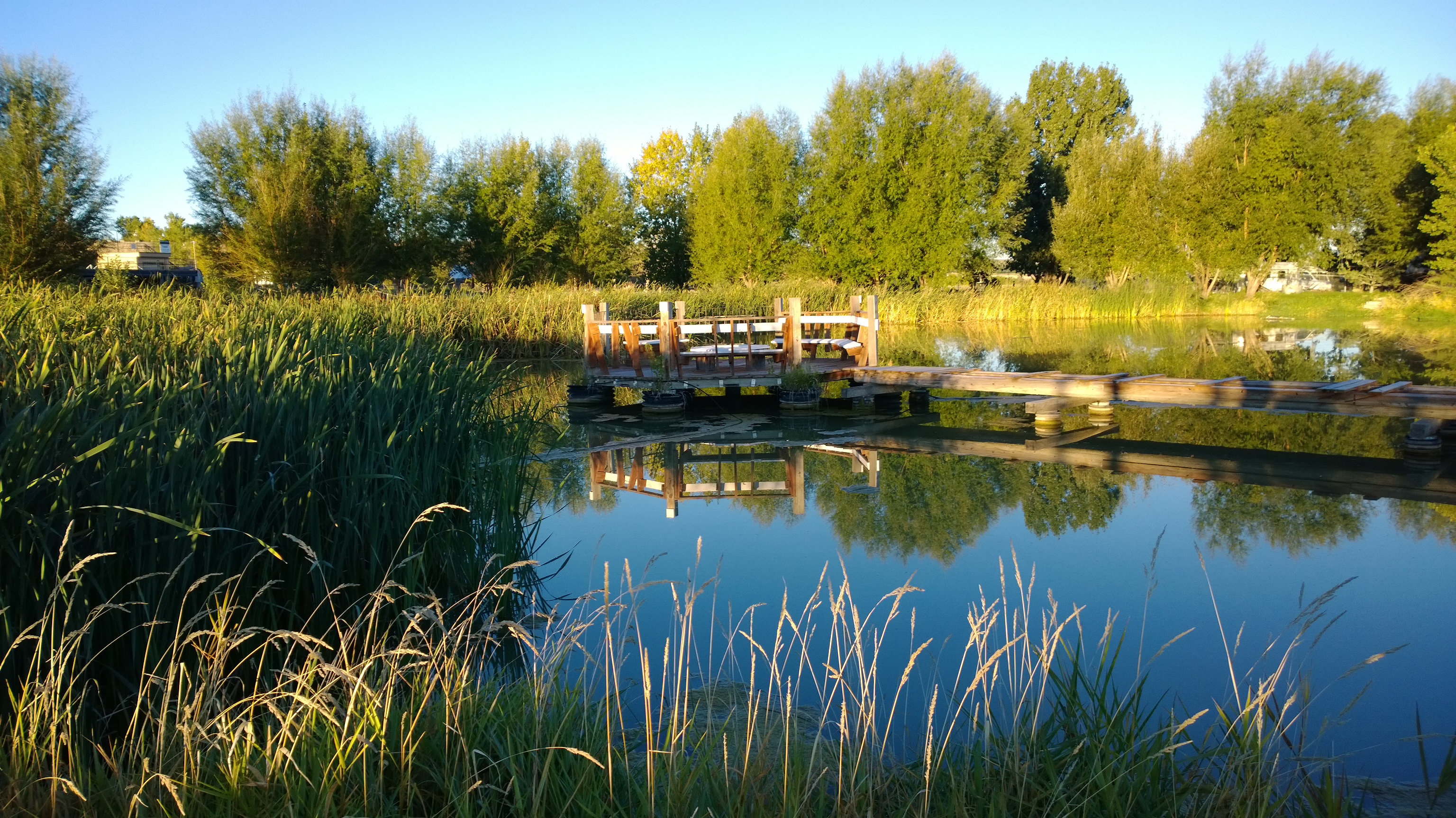
WP_20130929_07_26_02_Pro.jpg

WP_20130929_07_26_02_Pro.jpg
WP_20130929_07_29_09_Pro.jpg
Topographic Map of CO-, Olathe, CO, USA
Find elevation by address:

Places near CO-, Olathe, CO, USA:
6022 5500 Rd
5978 5600 Rd
6126 5300 Rd
54867 Banner Rd
9838 5650 Rd
Shenanigans Bail Bonds
Rd, Olathe, CO, USA
Pea Green Community Center
415 Violetta Rd
749 1650 Rd
Olathe
4135 5950 Rd
5950 Road
59179 Indigo Ct
4391 6000 Rd
8810 S River Rd
668 1200 Rd
4215 Tessman Rd
1311 1200 Rd
4477 1550 Rd
Recent Searches:
- Elevation of Corso Fratelli Cairoli, 35, Macerata MC, Italy
- Elevation of Tallevast Rd, Sarasota, FL, USA
- Elevation of 4th St E, Sonoma, CA, USA
- Elevation of Black Hollow Rd, Pennsdale, PA, USA
- Elevation of Oakland Ave, Williamsport, PA, USA
- Elevation of Pedrógão Grande, Portugal
- Elevation of Klee Dr, Martinsburg, WV, USA
- Elevation of Via Roma, Pieranica CR, Italy
- Elevation of Tavkvetili Mountain, Georgia
- Elevation of Hartfords Bluff Cir, Mt Pleasant, SC, USA