Elevation of CO-, Ignacio, CO, USA
Location: United States > Colorado > La Plata County > Ignacio >
Longitude: -107.60156
Latitude: 37.0061419
Elevation: 1874m / 6148feet
Barometric Pressure: 81KPa
Elevation Map:
Satellite Map:
Related Photos:
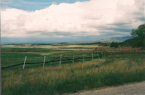
Fencing in, Fencing out
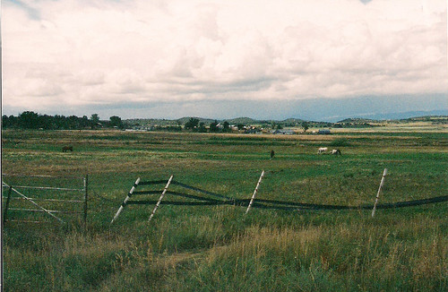
Brokenly Beautiful
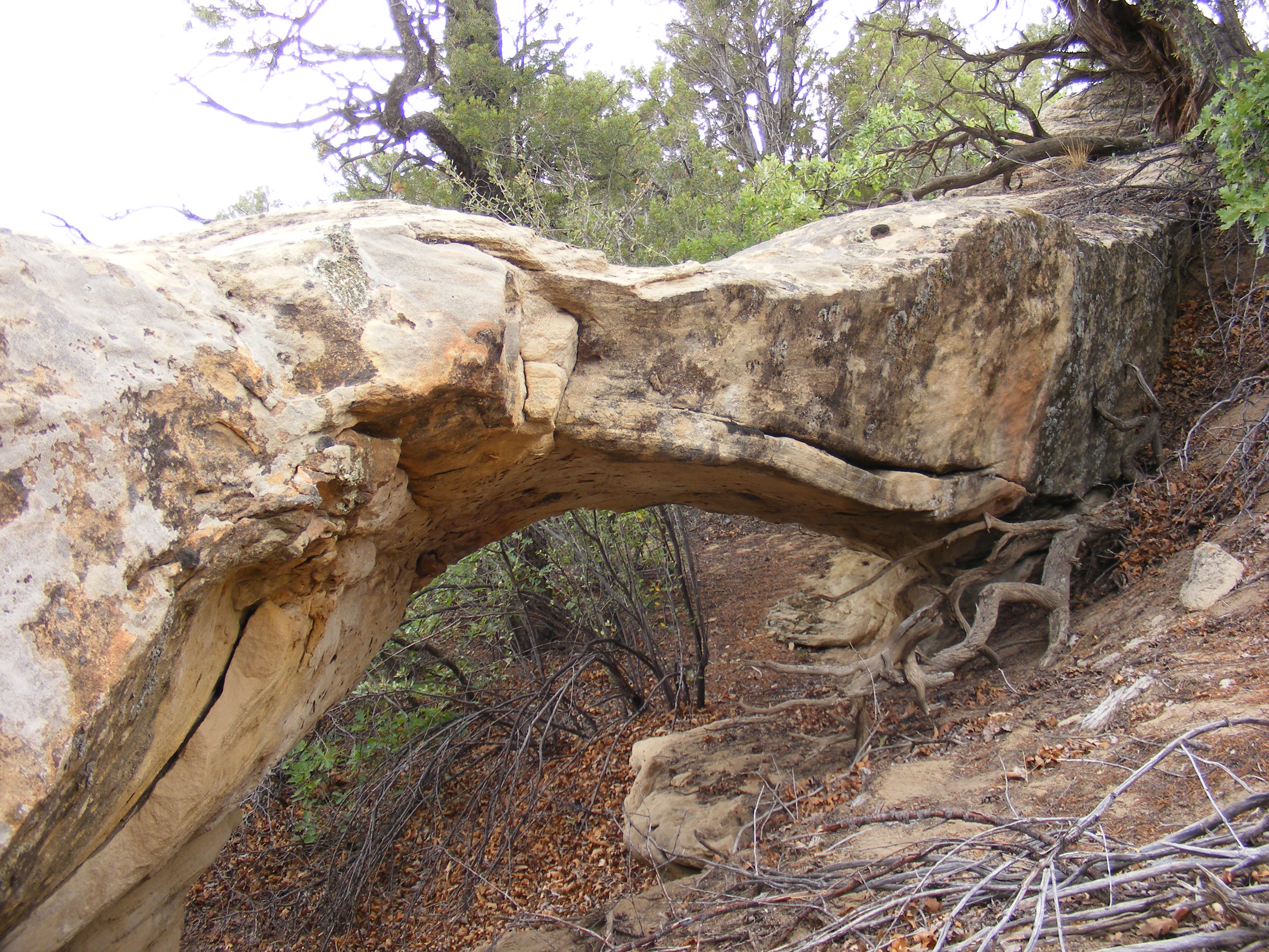
New Mexico Natural Arch NM-281
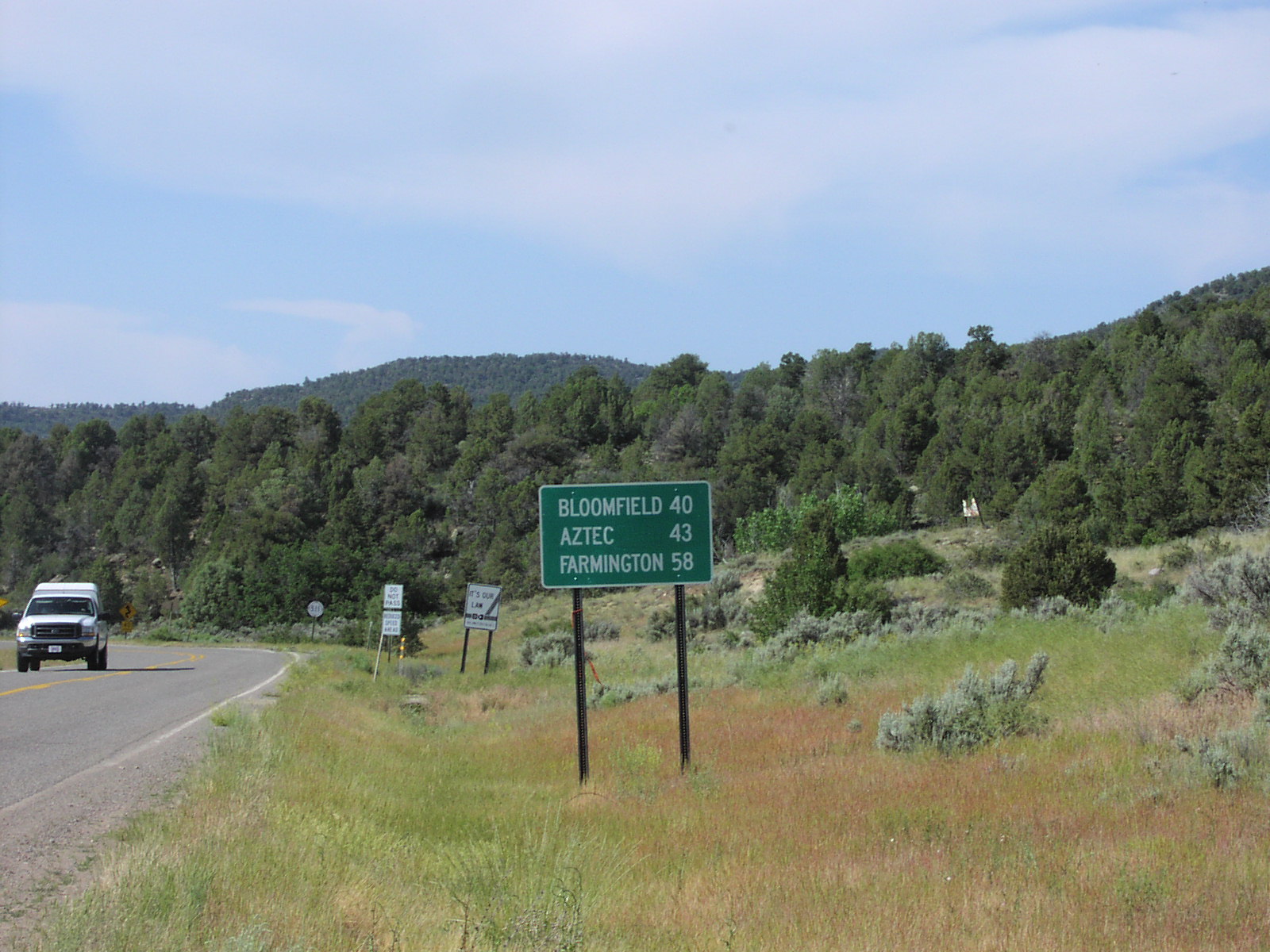
NM-511 South - Distance Marker

~ heavenly relations & connectedness ~

There's a Snake at Every Wedding

Hand Me One Mr. Shades and Sideburns

Love Makes Life Complete

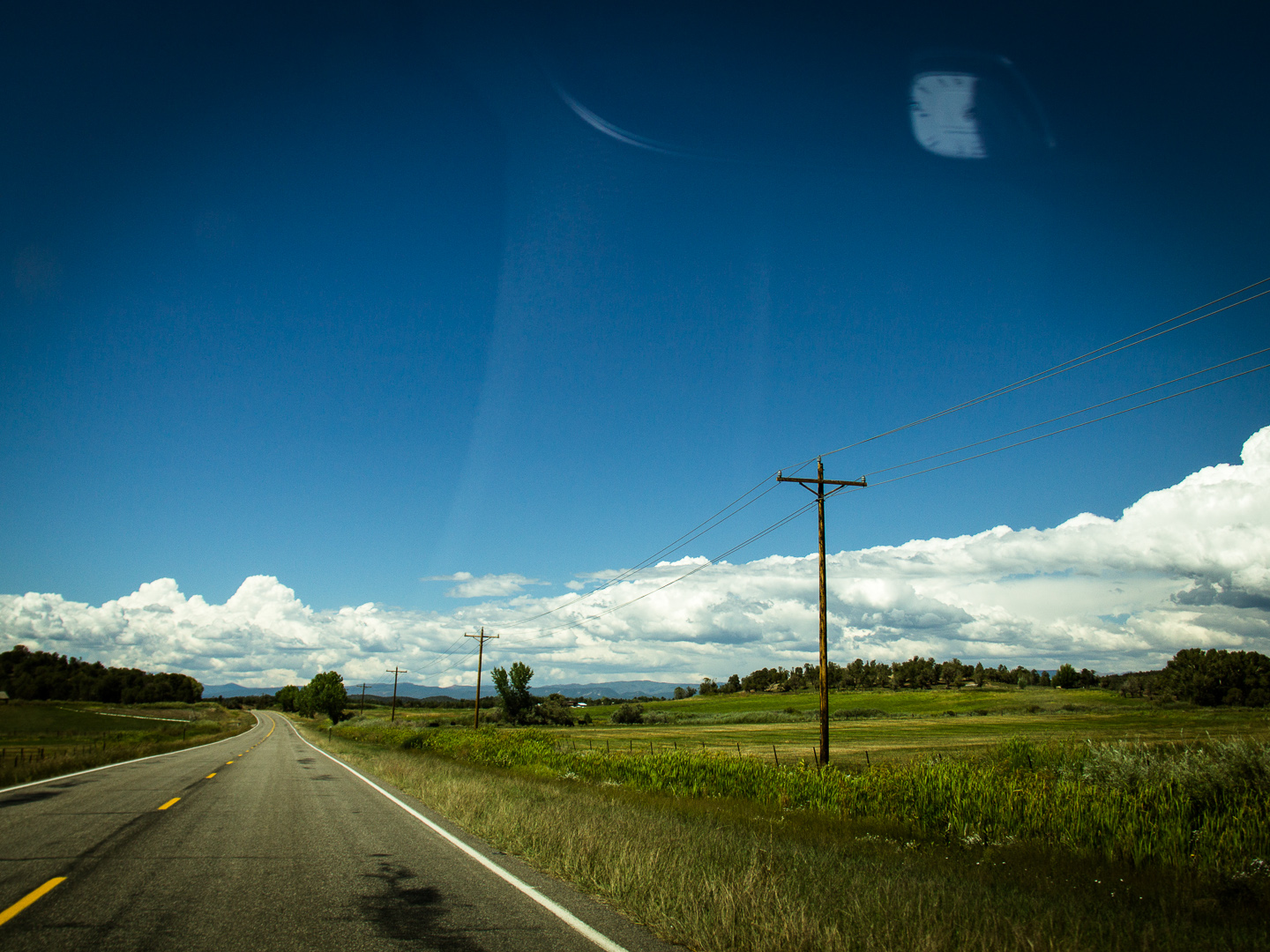
Wide Open Spaces

Cowboys at Fox Fire Farms Winery

The Preacher and Two Cowboys

One among so many cemeteries
Le fil qui chante

Drinks on the Rocks

Got Legs

IMAG0931.jpg

#AWAdventure

24 hours in New Mexico

24 hours in New Mexico
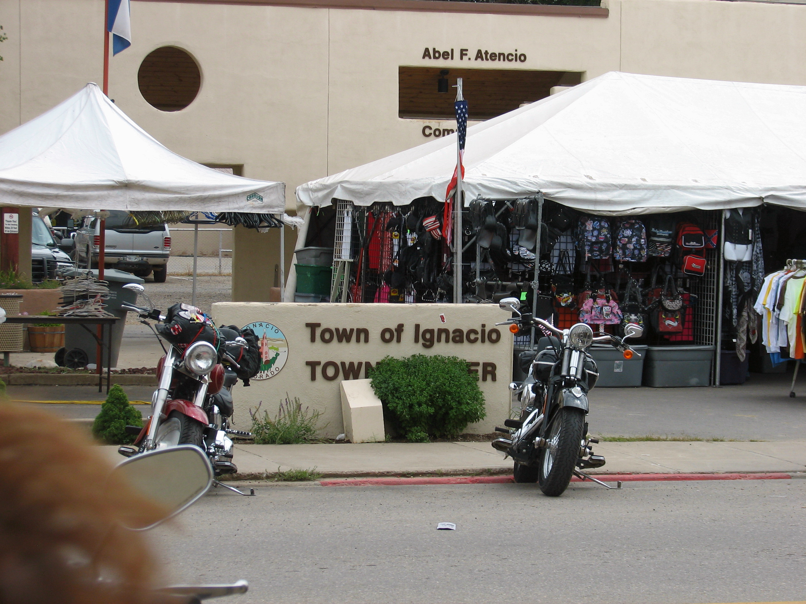
Durango Four Cornors Rally 2010, Ignacio

Durango Four Cornors Rally 2010, Ignacio

Durango Four Cornors Rally 2010, Ignacio
Topographic Map of CO-, Ignacio, CO, USA
Find elevation by address:

Places near CO-, Ignacio, CO, USA:
55 Rd 4046
516 Co Rd 325
18 Rd 4010
71 County Rd, Ignacio, NM, USA
Road, Navajo Dam, NM, USA
Southern Ute Reservation
Ignacio
512 Arboles St
805 Co Rd 316
12467 Co-172
Arboles
88 Run Around Rd, Pagosa Springs, CO, USA
139 Payne Ln
Co Rd, Ignacio, CO, USA
Navajo Dam
Navajo Lake
US-, Bayfield, CO, USA
Bayfield
1014 Co Rd 525
Forest Lakes Metro District
Recent Searches:
- Elevation of Steadfast Ct, Daphne, AL, USA
- Elevation of Lagasgasan, X+CQH, Tiaong, Quezon, Philippines
- Elevation of Rojo Ct, Atascadero, CA, USA
- Elevation of Flagstaff Drive, Flagstaff Dr, North Carolina, USA
- Elevation of Avery Ln, Lakeland, FL, USA
- Elevation of Woolwine, VA, USA
- Elevation of Lumagwas Diversified Farmers Multi-Purpose Cooperative, Lumagwas, Adtuyon, RV32+MH7, Pangantucan, Bukidnon, Philippines
- Elevation of Homestead Ridge, New Braunfels, TX, USA
- Elevation of Orchard Road, Orchard Rd, Marlborough, NY, USA
- Elevation of 12 Hutchinson Woods Dr, Fletcher, NC, USA