Elevation of Co Hwy O, New Richmond, WI, USA
Location: United States > Wisconsin > St. Croix County > Cylon >
Longitude: -92.35209
Latitude: 45.122777
Elevation: 322m / 1056feet
Barometric Pressure: 98KPa
Elevation Map:
Satellite Map:
Related Photos:

Sunny Tails

Rays light the way

Spring Views
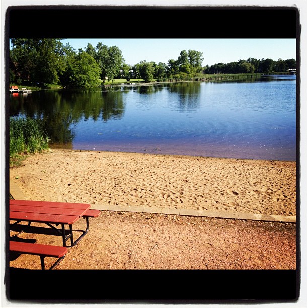
wherever I go, I can always find a beach...
New Richmond, WI
Afternoon swim

Sunset Drive
Pinewood Trail and Creekwood - Light trail in subdivision (640x480)
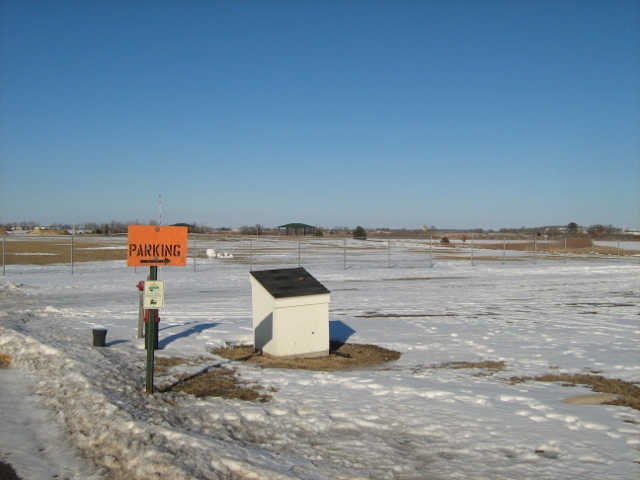
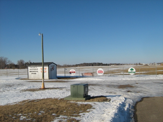
Blue Bill Freedom Park looking Northeast (640x480)
Red white and blue
Winter Visions

Red Wing

123/365 ~ Swan Family
Freedom Park at end of Bluebill looking Northwest (640x480)

Outlaw maiden
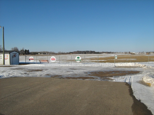
Freedom Park looking - facing North on Bluebill (640x480)
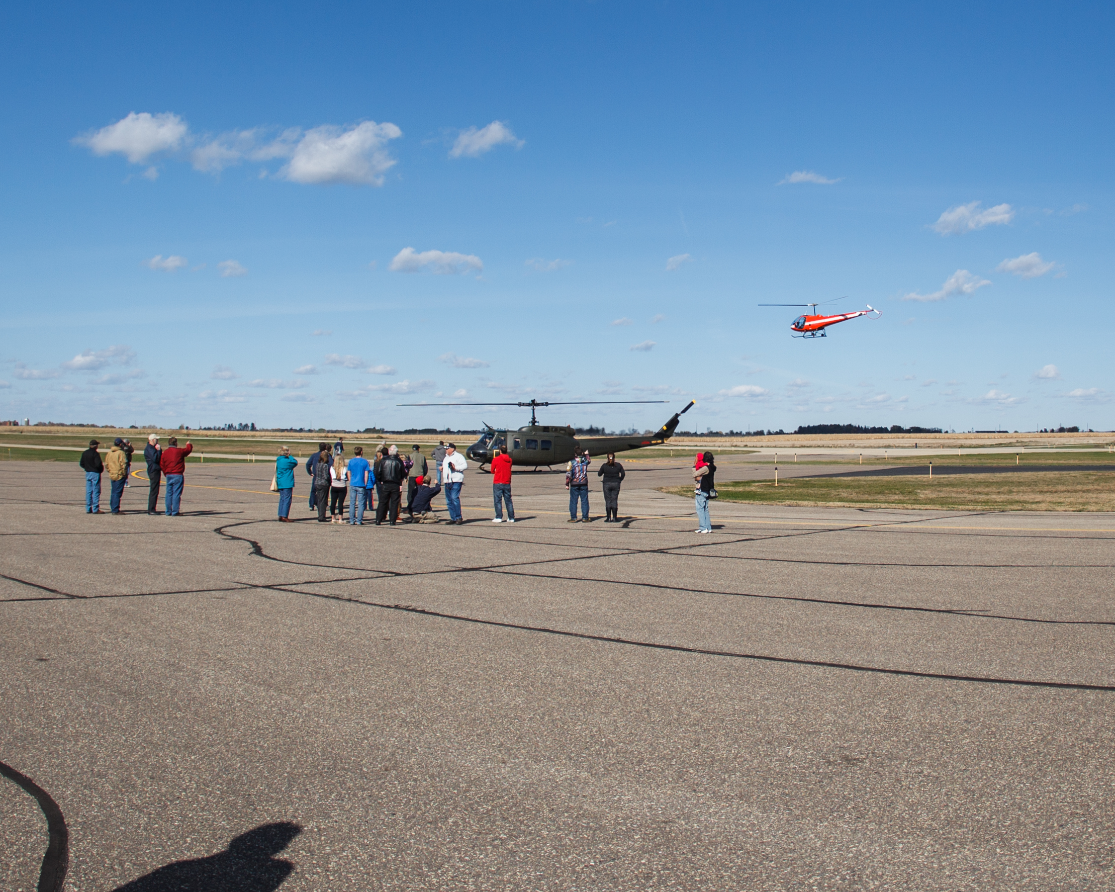
Hangar Party 9
08-28-2015 Ride - Tour of Honor WI2 in Clear Lake,W
New photo added to "All Photos"

New photo added to "All Photos"

New photo added to "All Photos"
New photo added to "All Photos"

New photo added to "All Photos"
Topographic Map of Co Hwy O, New Richmond, WI, USA
Find elevation by address:

Places near Co Hwy O, New Richmond, WI, USA:
Cylon
St. Croix County
WI-64, Emerald, WI, USA
Forest
3rd Ave, Clear Lake, WI, USA
535 Grand Ave
New Richmond
1025 Tamarack Pl
Richmond
2nd Ave, Clear Lake, WI, USA
Mains Crossing Avenue
Vance Creek
Polk County
1059 Tanney Ln
Somerset
Raleigh Gardens, Somerset, WI, USA
Railroad Ave, Boyceville, WI, USA
Deer Lake
2165 84th Ave
Osceola
Recent Searches:
- Elevation of Elwyn Dr, Roanoke Rapids, NC, USA
- Elevation of Congressional Dr, Stevensville, MD, USA
- Elevation of Bellview Rd, McLean, VA, USA
- Elevation of Stage Island Rd, Chatham, MA, USA
- Elevation of Shibuya Scramble Crossing, 21 Udagawacho, Shibuya City, Tokyo -, Japan
- Elevation of Jadagoniai, Kaunas District Municipality, Lithuania
- Elevation of Pagonija rock, Kranto 7-oji g. 8"N, Kaunas, Lithuania
- Elevation of Co Rd 87, Jamestown, CO, USA
- Elevation of Tenjo, Cundinamarca, Colombia
- Elevation of Côte-des-Neiges, Montreal, QC H4A 3J6, Canada