Elevation of Co Hwy M, Suring, WI, USA
Location: United States > Wisconsin > Oconto County > Maple Valley >
Longitude: -88.324929
Latitude: 45.005012
Elevation: 267m / 876feet
Barometric Pressure: 98KPa
Elevation Map:
Satellite Map:
Related Photos:
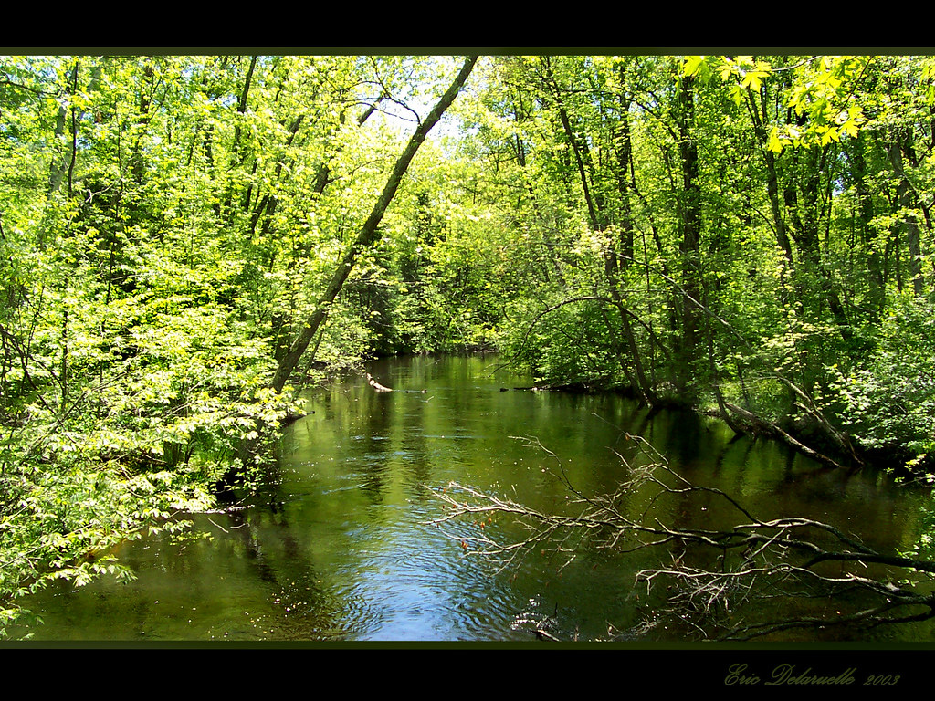
View from Bridge
View from across the road.
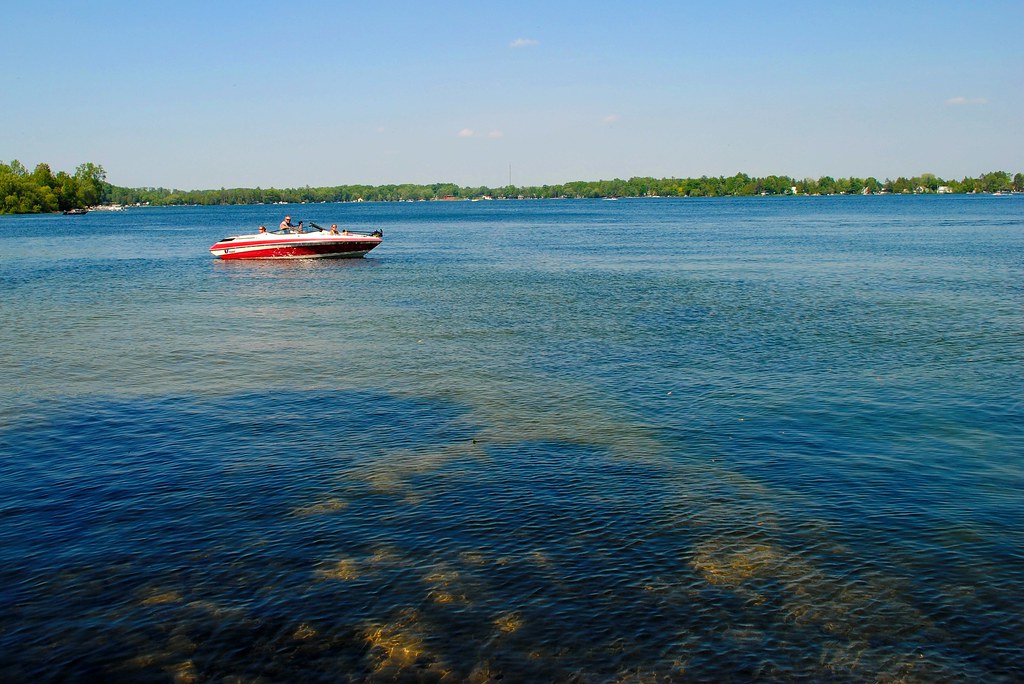
Land of Sky Blue Waters

Reflections on the ice

Lily and Lily Pads

Fall Trail

Fall Colors

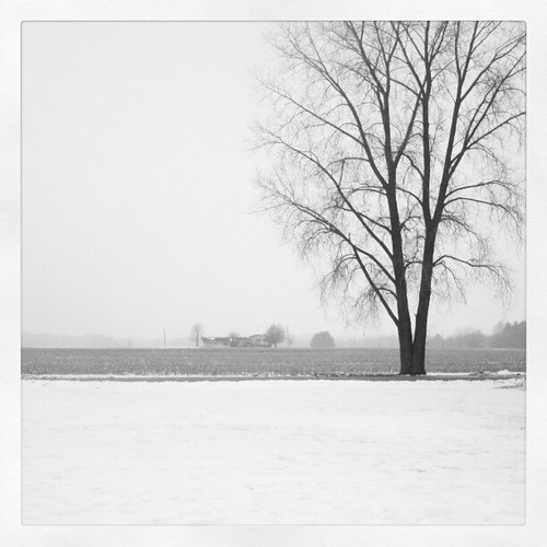
old barn

20130805-IMG_1729.jpg

orchid, Chute Pond, Marinette, WI, 1993_07_27 001.jpg

Dirt Road

Corner 2
Topographic Map of Co Hwy M, Suring, WI, USA
Find elevation by address:

Places near Co Hwy M, Suring, WI, USA:
Brazeau
Oconto County Park Campground
12845 S White Potato Lake Rd
Co Rd B, Coleman, WI, USA
12845 N White Potato Lake Rd
Mountain
WI-32, Mountain, WI, USA
Mountain
13698 Us Frst Service Rd 2067
Riverview
National Forest Road 2297
Stephenson
326 W Main St
Coleman
Co Rd P, Crivitz, WI, USA
South Big Island Lane
W11219 Co Rd X
St Mary Catholic Church
Lakewood
13590 Waubee Lake Rd
Recent Searches:
- Elevation of Lampiasi St, Sarasota, FL, USA
- Elevation of Elwyn Dr, Roanoke Rapids, NC, USA
- Elevation of Congressional Dr, Stevensville, MD, USA
- Elevation of Bellview Rd, McLean, VA, USA
- Elevation of Stage Island Rd, Chatham, MA, USA
- Elevation of Shibuya Scramble Crossing, 21 Udagawacho, Shibuya City, Tokyo -, Japan
- Elevation of Jadagoniai, Kaunas District Municipality, Lithuania
- Elevation of Pagonija rock, Kranto 7-oji g. 8"N, Kaunas, Lithuania
- Elevation of Co Rd 87, Jamestown, CO, USA
- Elevation of Tenjo, Cundinamarca, Colombia