Elevation of Co Hwy H, Kewaskum, WI, USA
Location: United States > Wisconsin > Washington County > Farmington >
Longitude: -88.141355
Latitude: 43.498626
Elevation: 290m / 951feet
Barometric Pressure: 98KPa
Elevation Map:
Satellite Map:
Related Photos:

View out the window of the cabin. #wisconsin #snow #cabin

Polyphemus Moth - Ventral View
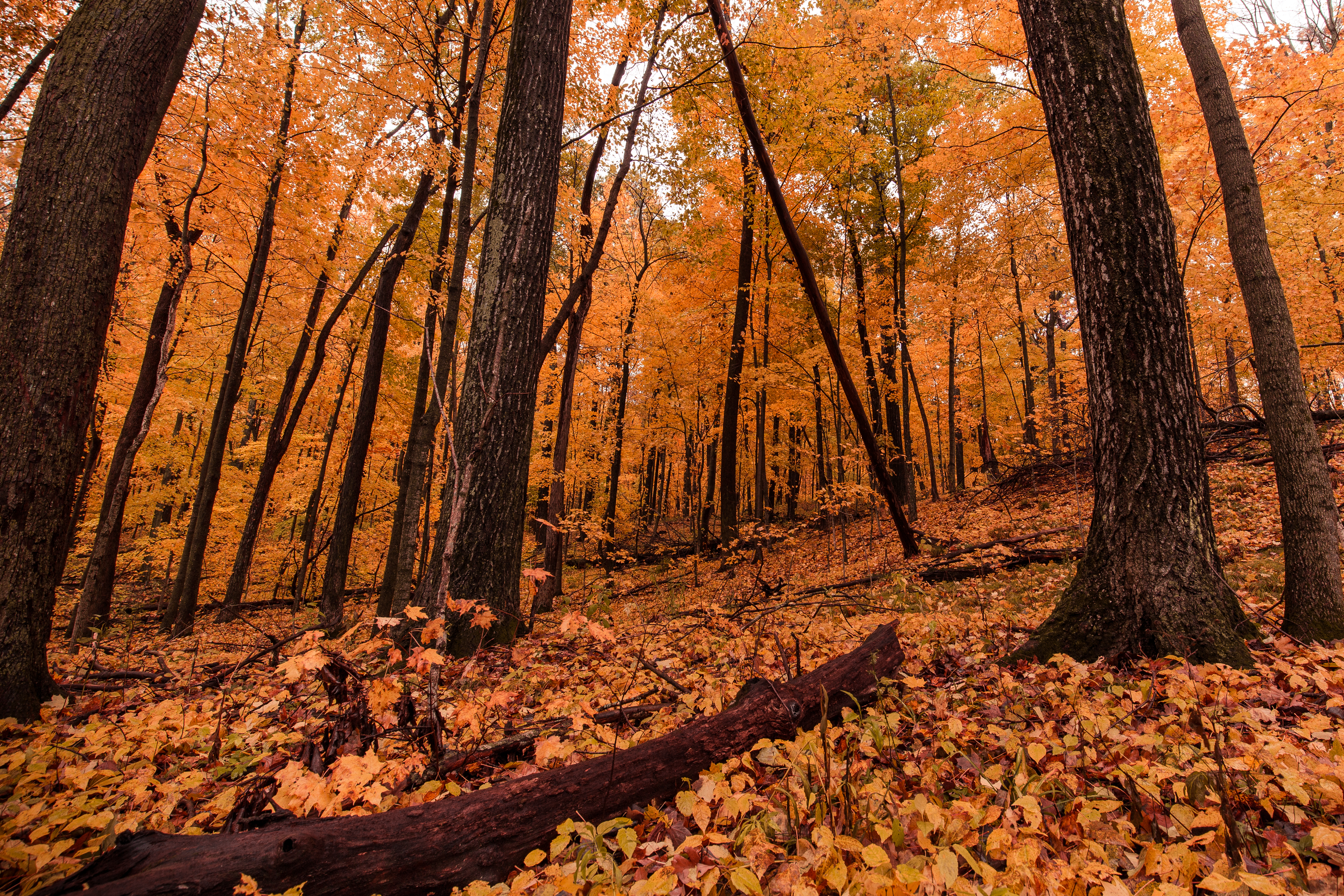
Ice Age Trail
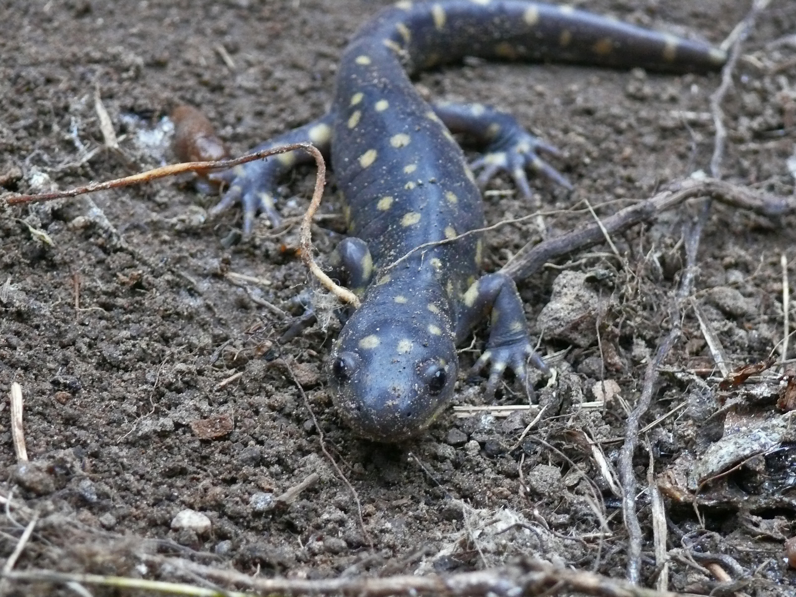
Eastern Tiger Salamander

View from within the ring of trees

View inside the ring of trees at Lizard Mound Park
Distant Poplars #1

Dry flower (top view)

Barred Owl

View west of Kewaskum
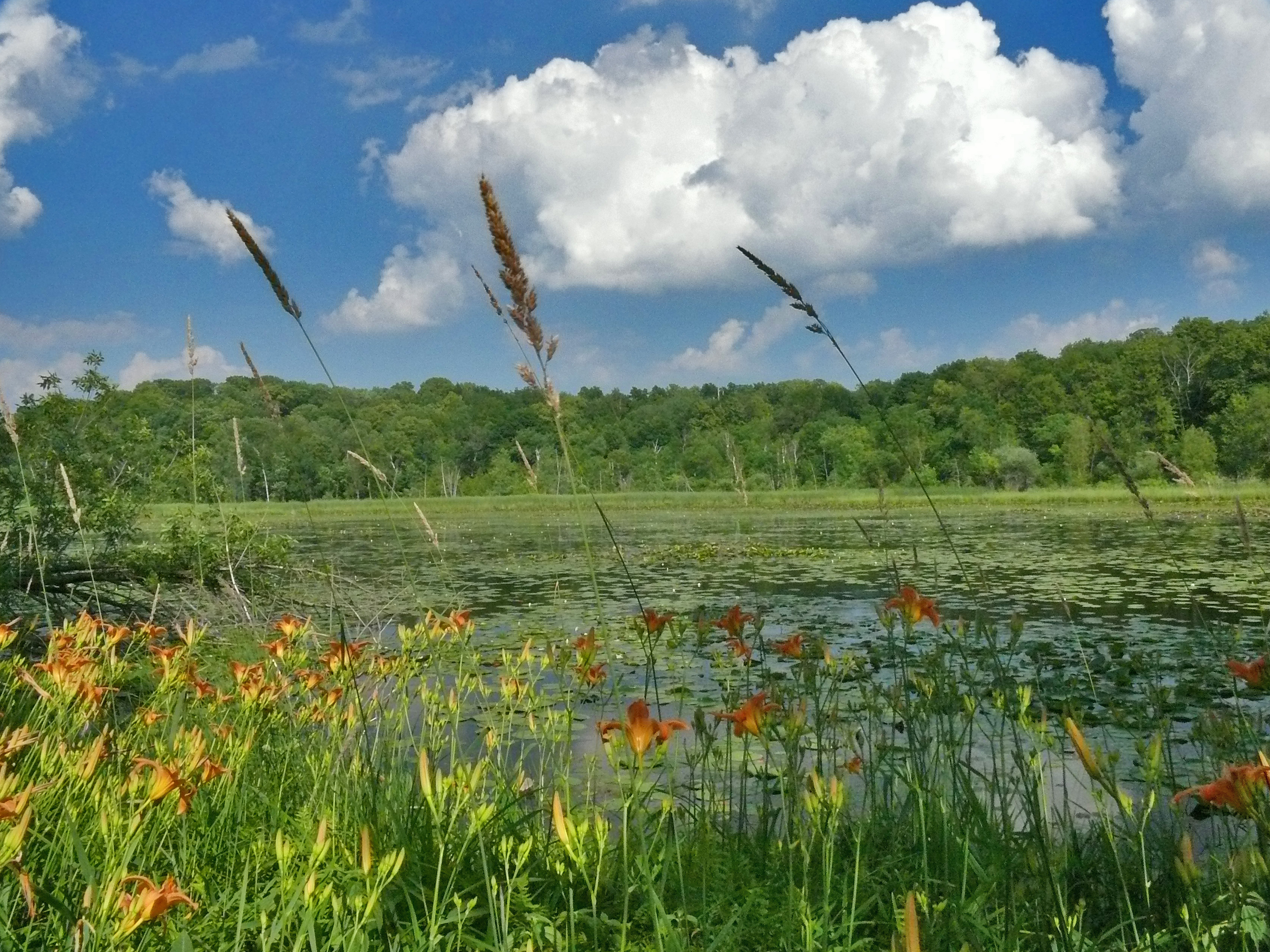
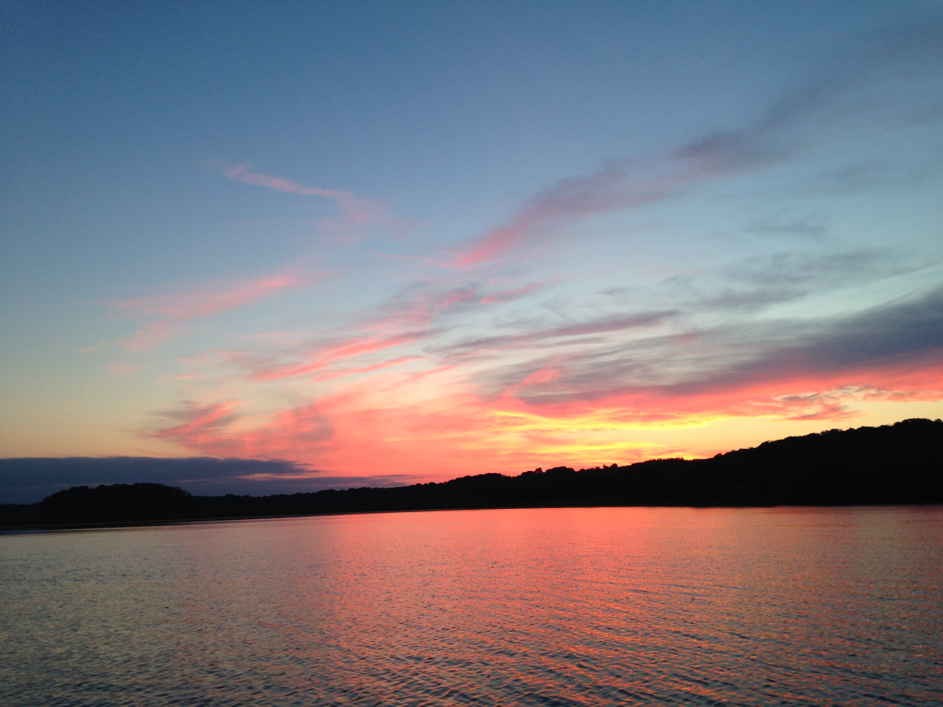
Mauthe Lake View
The Lake at Lac Lawrann

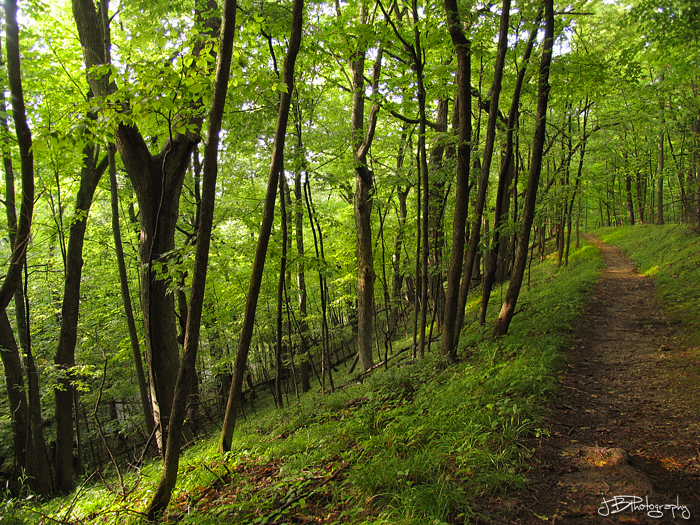
View through trees
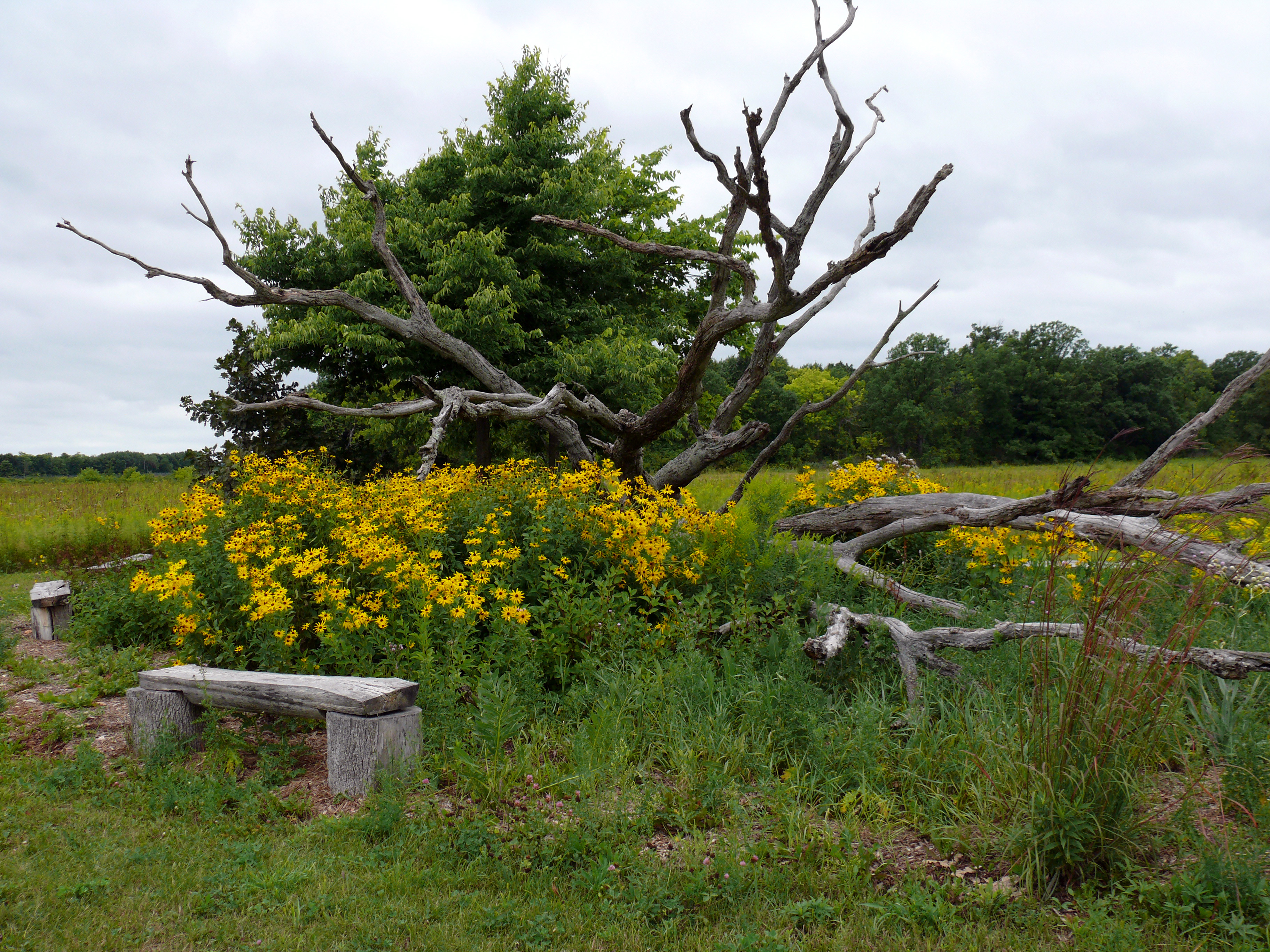
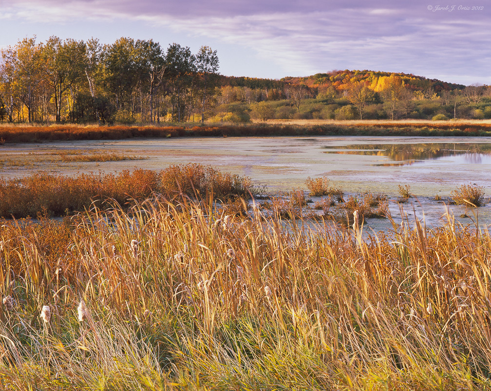
Scenic View at Fellenz Woods

Barton Pano v4

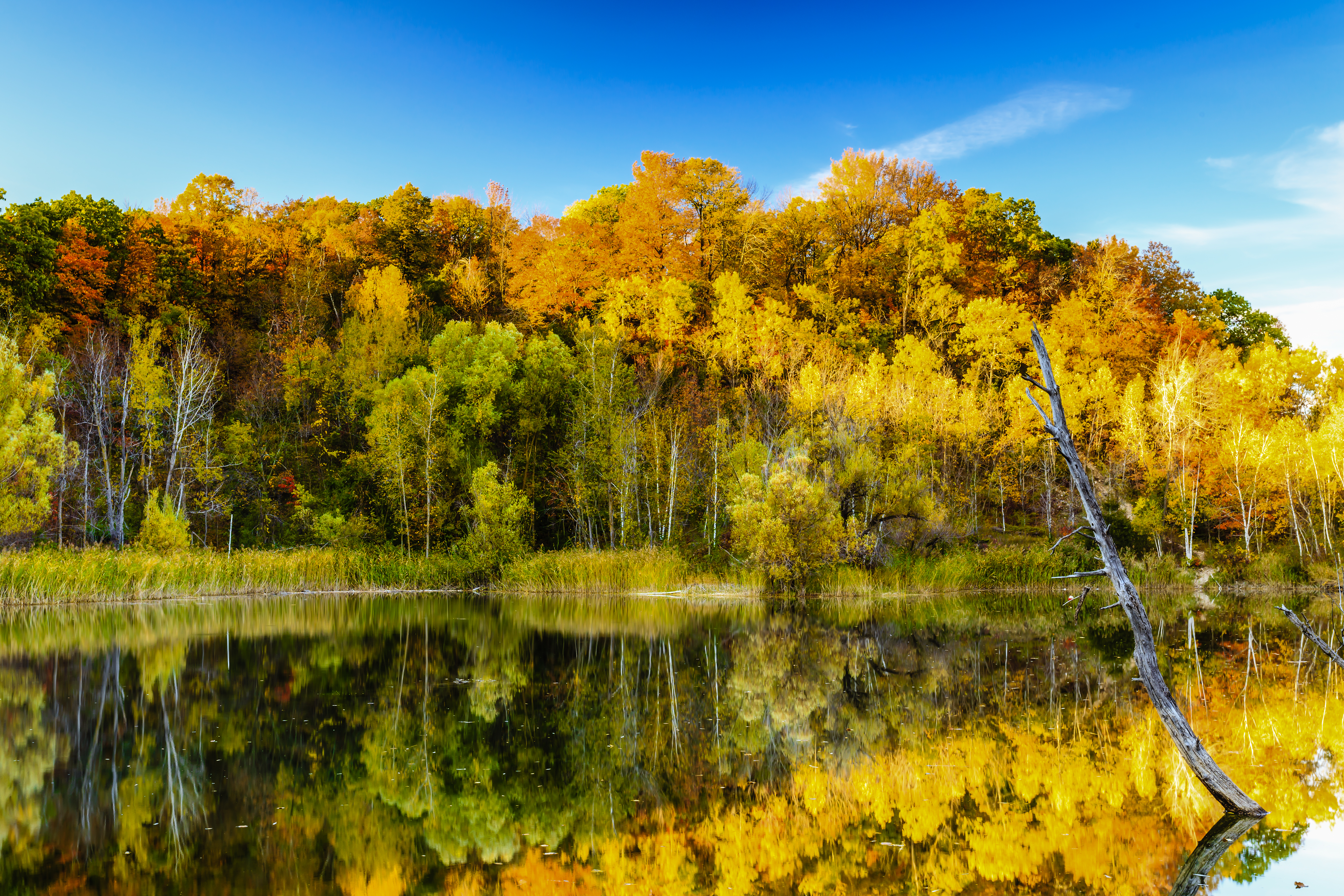
Small Lake at Glacier Blue Hills
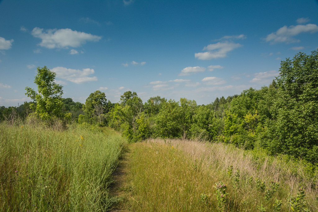
Wide lens view of field

first good view of the day

West Bend Depot-3

First view of the day

A view in West Bend
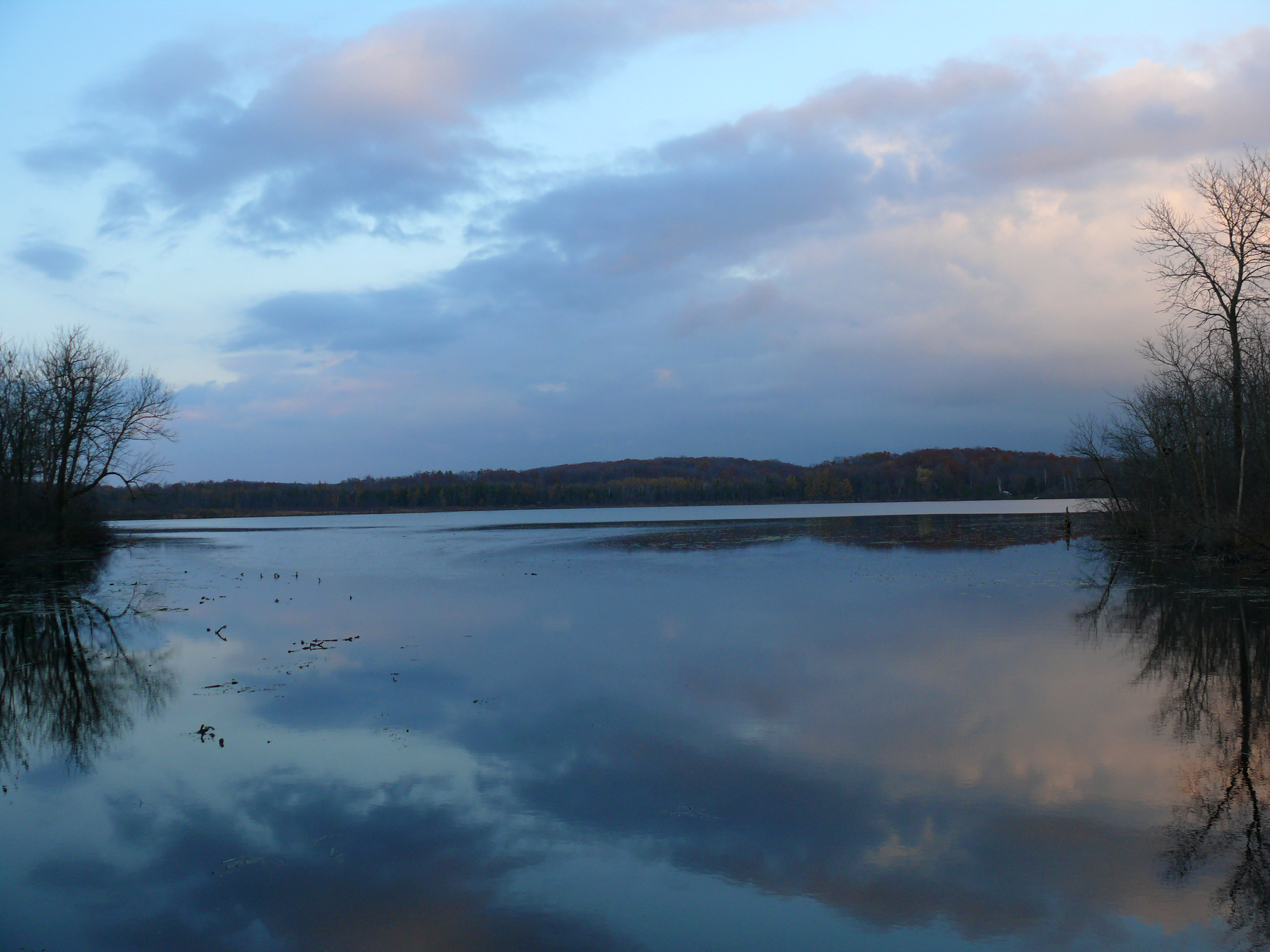
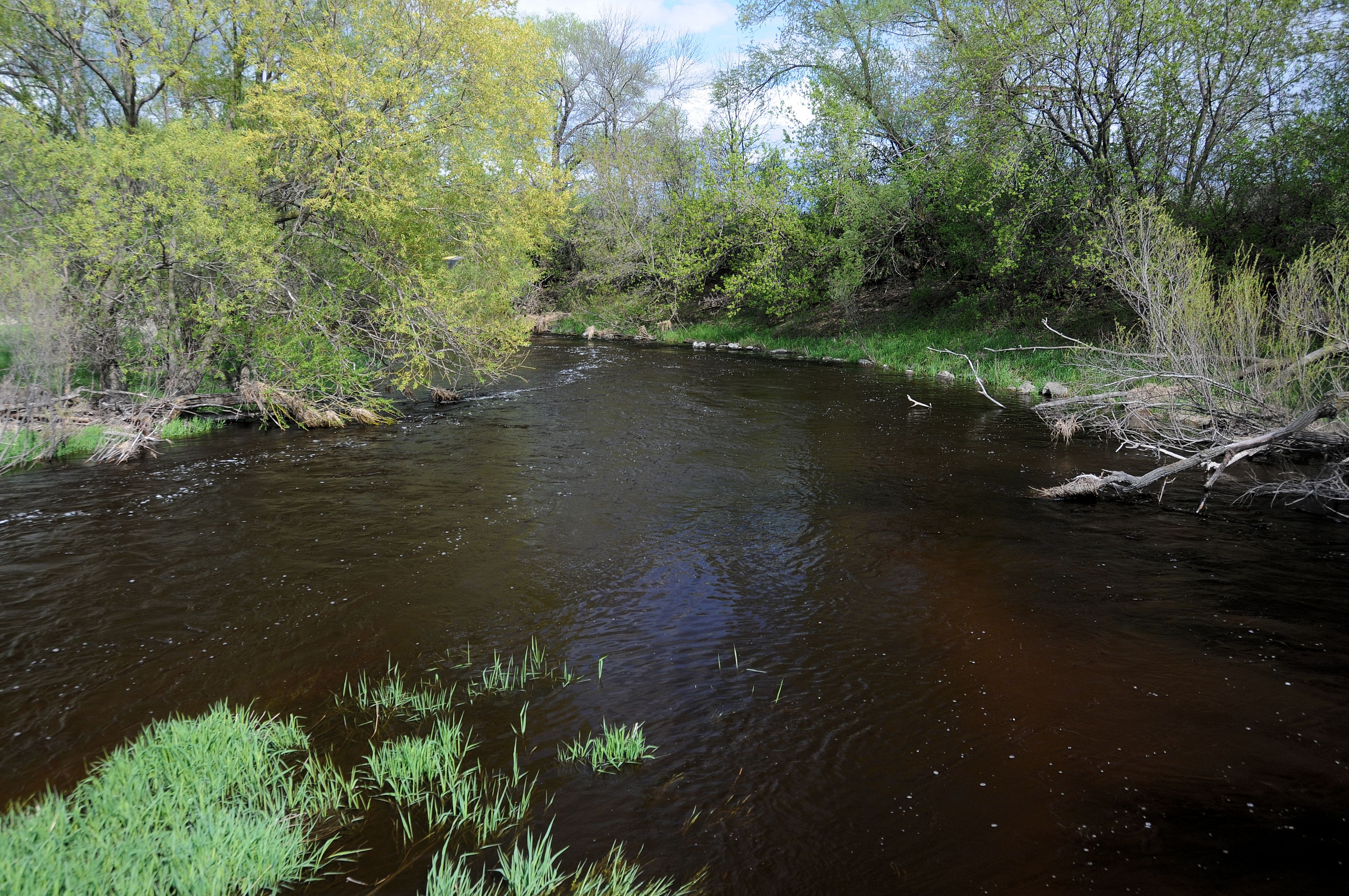
Little Cedar Lake
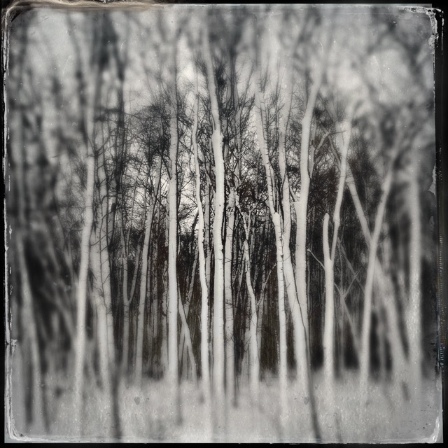
#bw #blackandwhite #trees #snow #landscape

#wsconsin #landscape #road #bw #blackandwhite

#wisconsin #road #landscape #bw #blackandwhite #blackandwhite
Kettle Moraine State Forest - Mauthe Lake #2

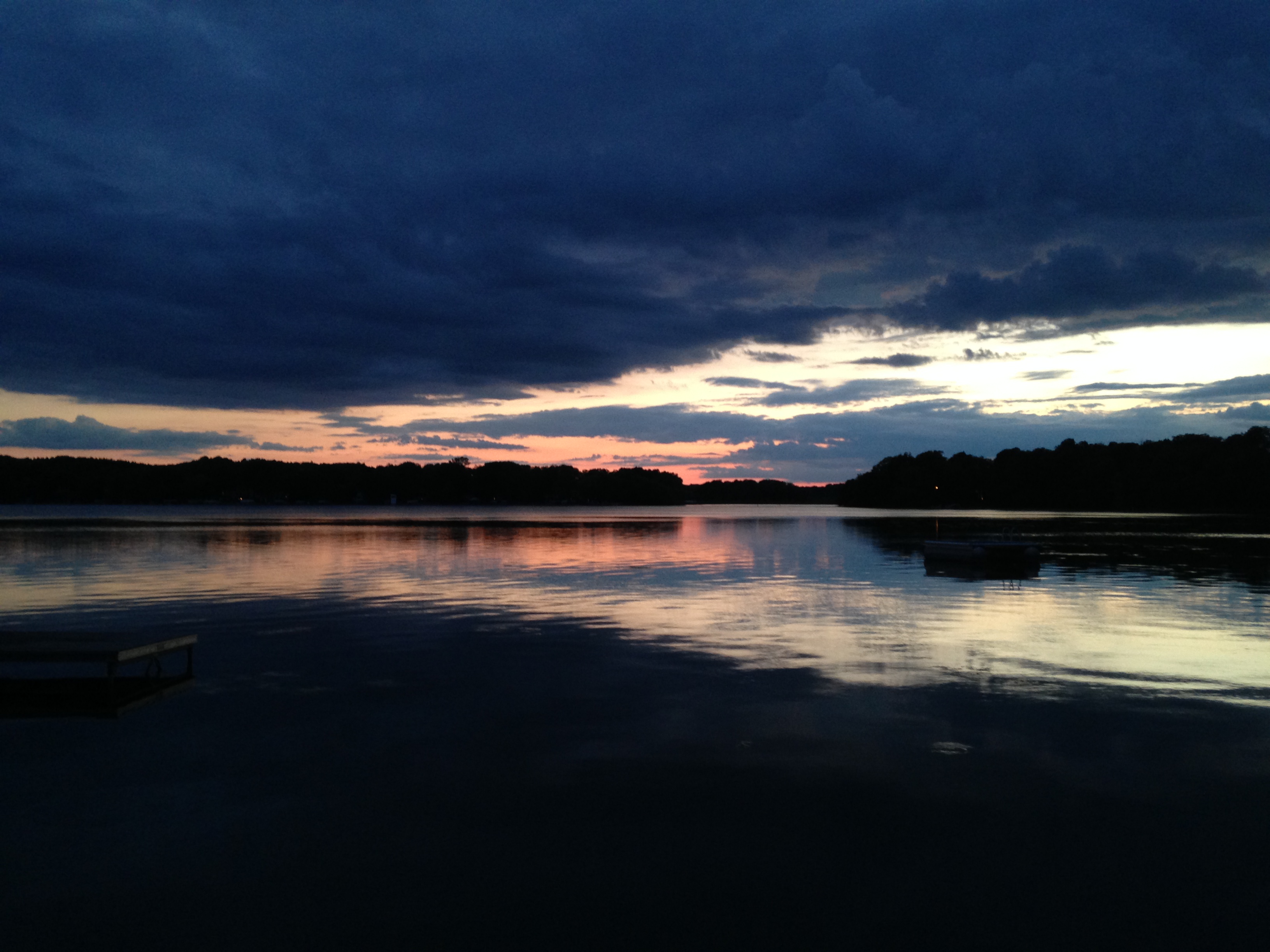
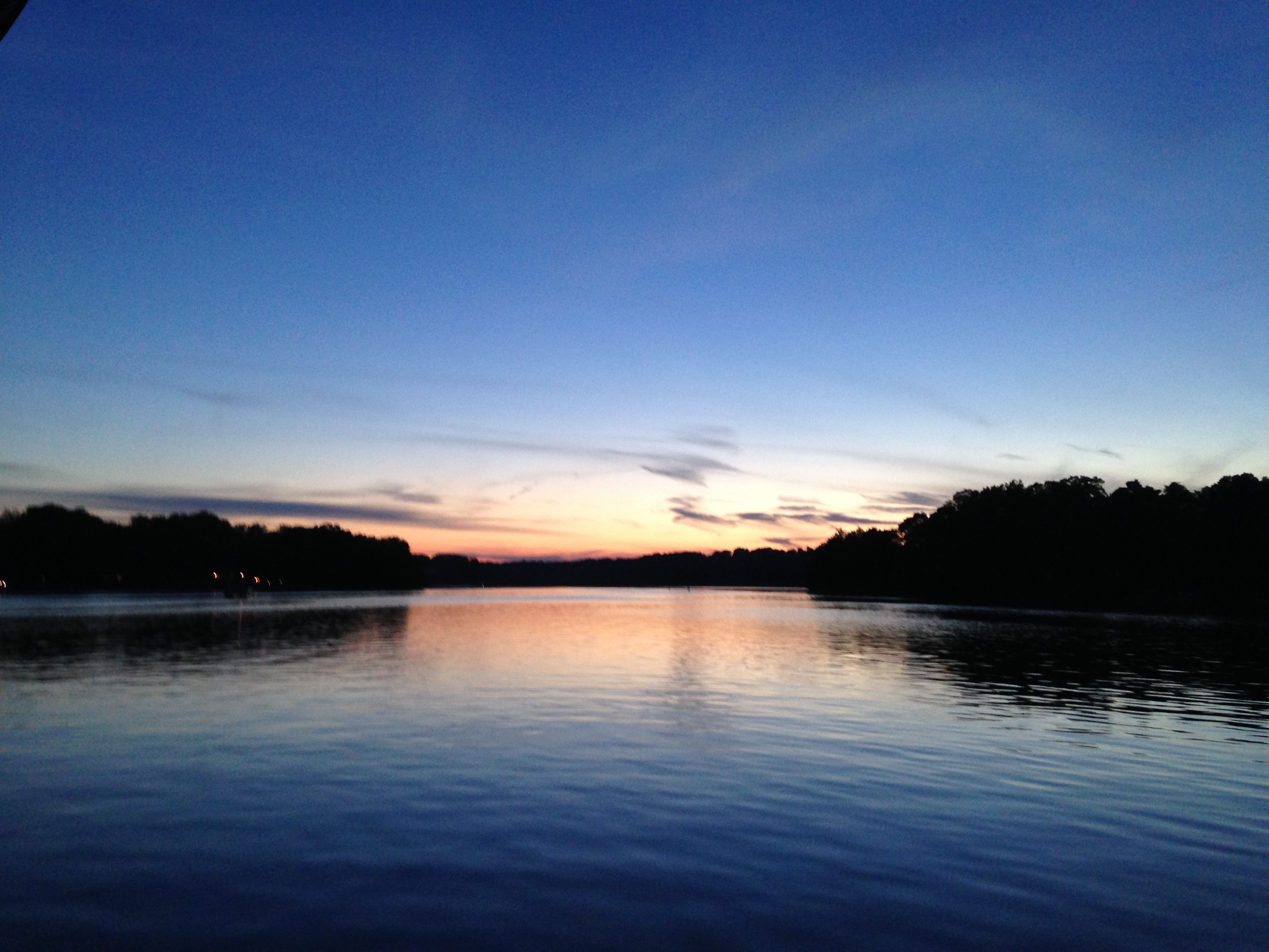
2013 Alpine Lake Sunset 13
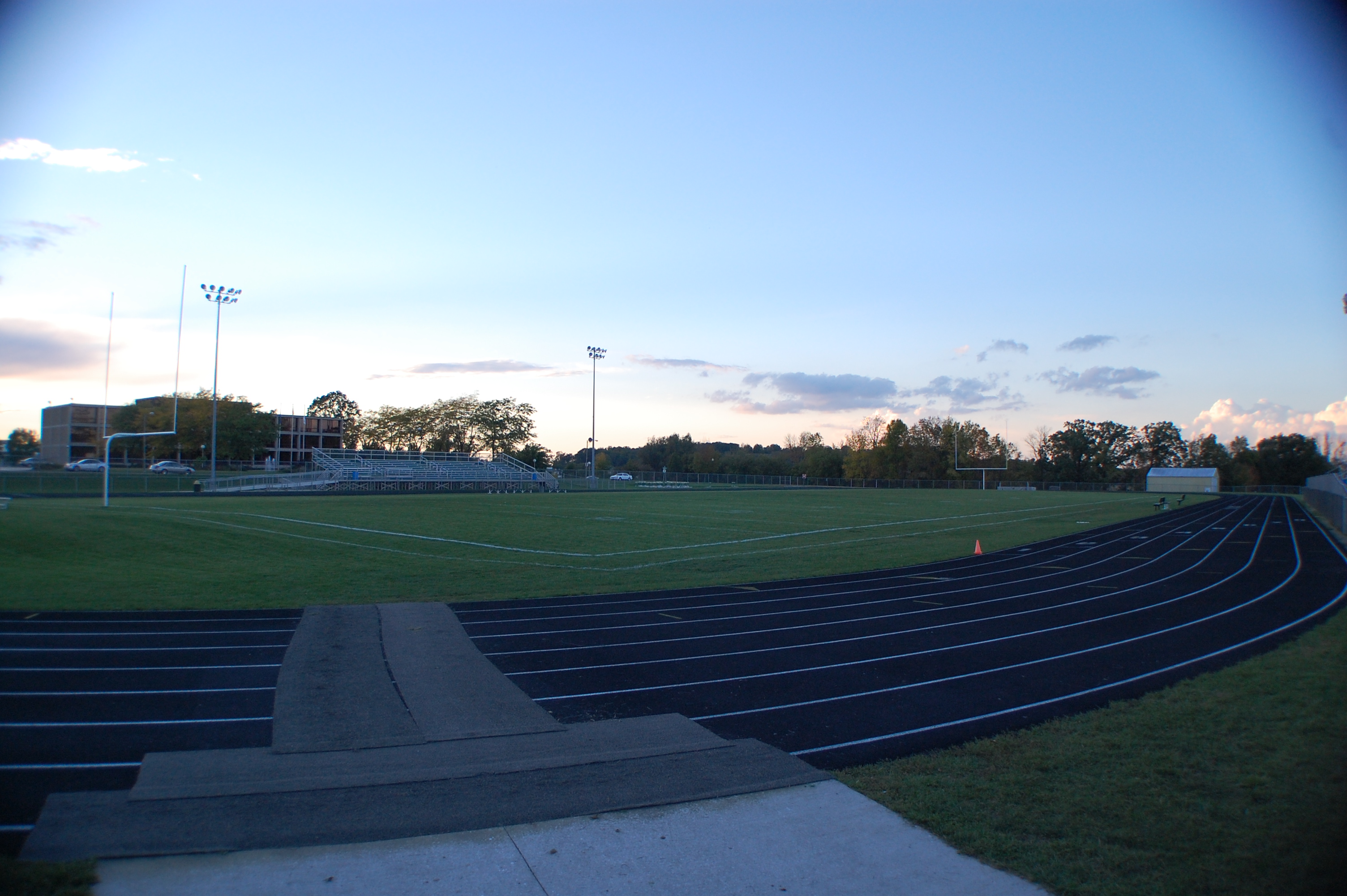
2014 Riverside Park
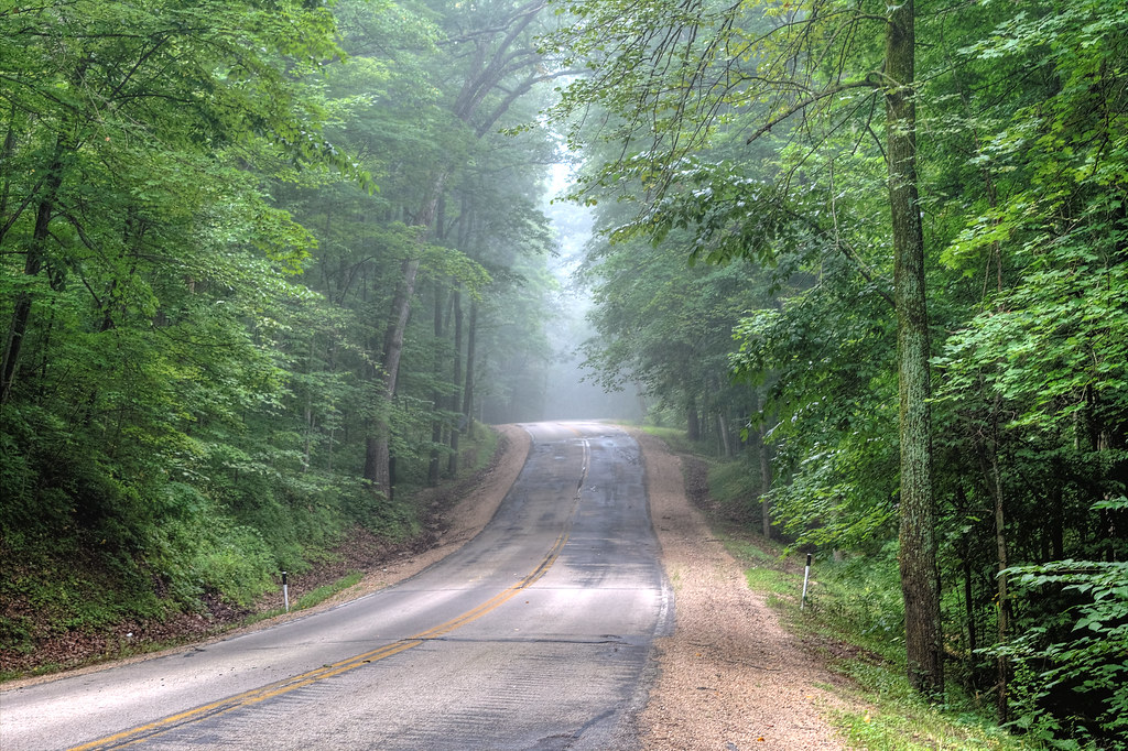
Hazy Highway
Little Cedar Lake
Shawn Conrad20141015-.JPG

Good field lookout

Sunrise over Cedar Valley

20131003-IMG_4176-Edit-2.jpg

20131019-IMG_4715-Edit.jpg

Little Cedar Lake
20131010-IMG_4483-Edit.jpg

20131010-IMG_4502-Edit.jpg
Little Cedar Lake
DSC_4918-LR.jpg
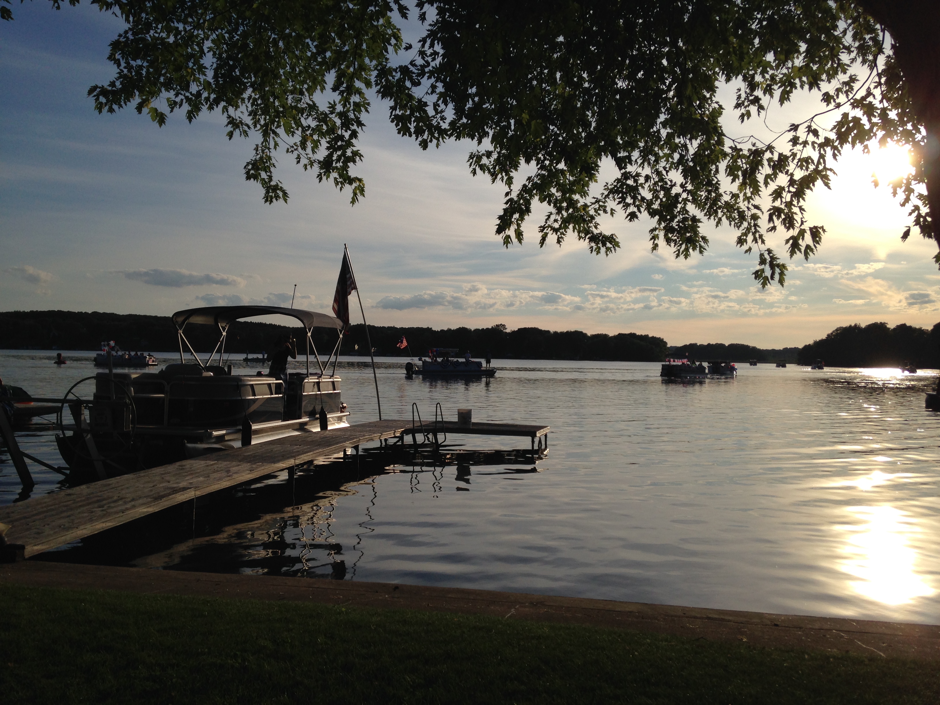
Little Cedar Lake
Topographic Map of Co Hwy H, Kewaskum, WI, USA
Find elevation by address:

Places near Co Hwy H, Kewaskum, WI, USA:
Farmington
Farmington
Farmington
Farmington
Farmington
Farmington
Farmington
Farmington
River Dr N, West Bend, WI, USA
N430
Co Hwy H, Fredonia, WI, USA
West Bend
N Main St, West Bend, WI, USA
Rustic Road
Kewaskum
W7792
1437 Wolf Dr
1500 Wolf Dr
Wolf Drive
Dubin Circle
Recent Searches:
- Elevation of Congressional Dr, Stevensville, MD, USA
- Elevation of Bellview Rd, McLean, VA, USA
- Elevation of Stage Island Rd, Chatham, MA, USA
- Elevation of Shibuya Scramble Crossing, 21 Udagawacho, Shibuya City, Tokyo -, Japan
- Elevation of Jadagoniai, Kaunas District Municipality, Lithuania
- Elevation of Pagonija rock, Kranto 7-oji g. 8"N, Kaunas, Lithuania
- Elevation of Co Rd 87, Jamestown, CO, USA
- Elevation of Tenjo, Cundinamarca, Colombia
- Elevation of Côte-des-Neiges, Montreal, QC H4A 3J6, Canada
- Elevation of Bobcat Dr, Helena, MT, USA