Elevation of Co Hwy 55, Hammondsville, OH, USA
Location: United States > Ohio > Jefferson County > Brush Creek Township >
Longitude: -80.761133
Latitude: 40.577441
Elevation: 355m / 1165feet
Barometric Pressure: 97KPa
Elevation Map:
Satellite Map:
Related Photos:

1950 Farmall H

Ohio ~ Wellsville

Blazing Horizon

Nice View
Days Like This

Ohio ~ East Liverpool

River House

On Tap

Lost in Thought

Making Ozone

Groundhog Day Eve

pseudo forest fire

Ohio ~ East Liverpool

Have a Seat

Vampyre Jack

Ohio ~ Wellsville

October Day

Ohio ~ East Liverpool

hdr12 4
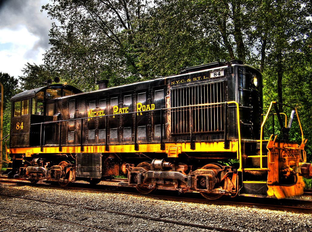
Nickel Plate Road engine

A look around

Asperitas Clouds Day 226/366

Ohio ~ East Liverpool

Green Green Grass
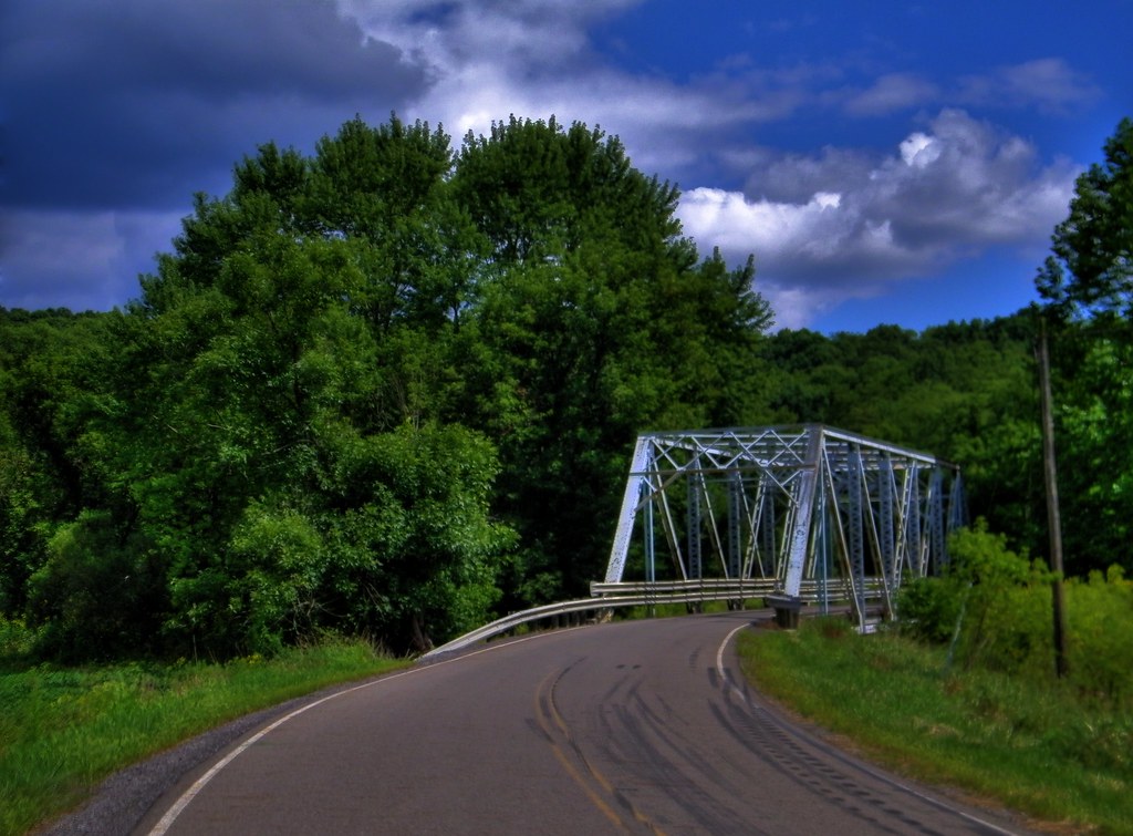
Old Bridge

asperitas Clouds

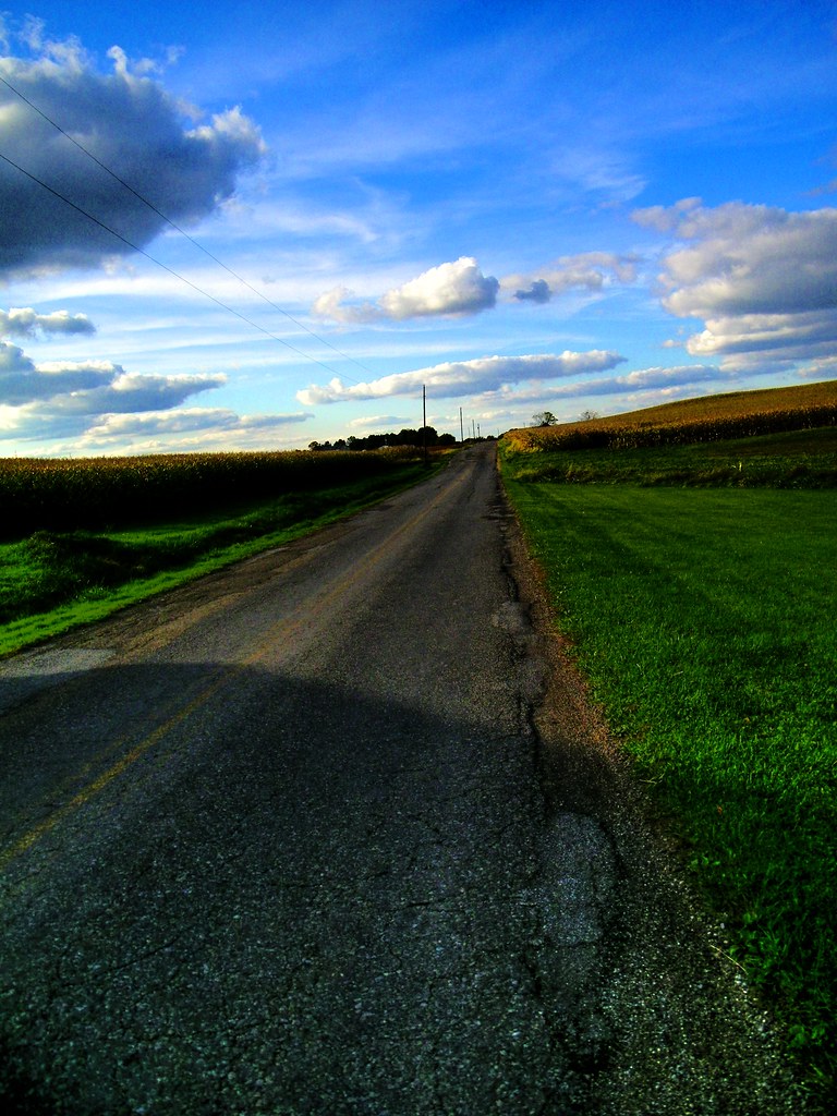
Clover Road 2

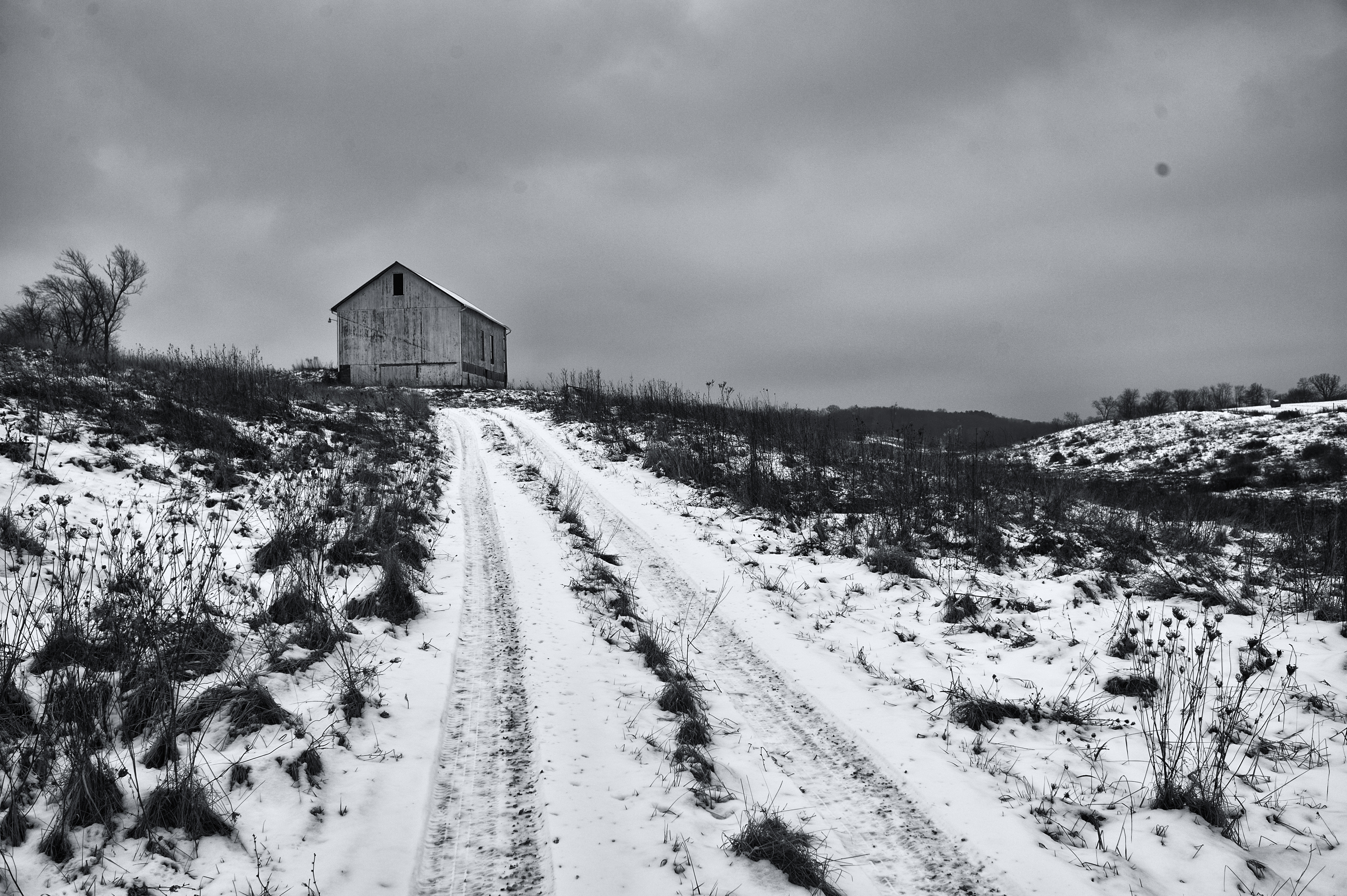
End of the Road

Distant Storm
First Look

Good Morning

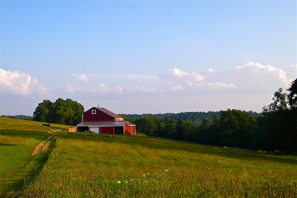
TLC Farm

Route 164

Newell Toll Bridge

Tree on a hill #nofilter
On the Farm

Greener on the Other Side
Topographic Map of Co Hwy 55, Hammondsville, OH, USA
Find elevation by address:

Places near Co Hwy 55, Hammondsville, OH, USA:
Brush Creek Township
69 Margan St, Irondale, OH, USA
Irondale
Township Rd, Irondale, OH, USA
Saline Township
OH-, Toronto, OH, USA
Mountaineer Casino, Racetrack & Resort
Township Rd, Toronto, OH, USA
Knox Township
10891 Oh-152
Ohio River Blvd, New Cumberland, WV, USA
Congo Arroyo Rd, New Cumberland, WV, USA
1269 Congo Arroyo Rd
Richmond
OH-43, Richmond, OH, USA
Island Creek Township
1113 Co Hwy 66/1
1730 Township Rd 244
Shady Glen
New Cumberland
Recent Searches:
- Elevation of Martins Mill Ct, Eagle Rock, NC, USA
- Elevation of Kippen, Stirling FK8, UK
- Elevation of Sieveringer Straße, Sieveringer Str., Wien, Austria
- Elevation of Bratskaya Ulitsa, 24, Kurgan, Kurganskaya oblast', Russia
- Elevation of Paradisvegen, Biri, Norway
- Elevation of Crystal Cir, Birmingham, AL, USA
- Elevation of N Railroad Ave, West Palm Beach, FL, USA
- Elevation of 55 Cassick Valley Rd, Wellfleet, MA, USA
- Elevation of Ironwood Dr, Minden, NV, USA
- Elevation of 高尾山口駅, Takaomachi, Hachioji, Tokyo -, Japan